Embed Size (px)
DESCRIPTION
Plat Law Changes. Revisions to Minnesota Statutes Chapter 505. Goal of Legislative Changes. Clarify the permissible use of platting Define certain terms used relative to platting Update the statute to reflect changes in standards, technologies, and processes - PowerPoint PPT Presentation
Citation preview
Plat Law ChangesPlat Law ChangesRevisions to Minnesota Statutes Chapter 505Revisions to Minnesota Statutes Chapter 505

Goal of Legislative ChangesGoal of Legislative Changes
►Clarify the permissible use of plattingClarify the permissible use of platting►Define certain terms used relative to Define certain terms used relative to
plattingplatting►Update the statute to reflect changes in Update the statute to reflect changes in
standards, technologies, and processesstandards, technologies, and processes►Cross reference for preparation and Cross reference for preparation and
recording requirements to reduce recording requirements to reduce redundanciesredundancies
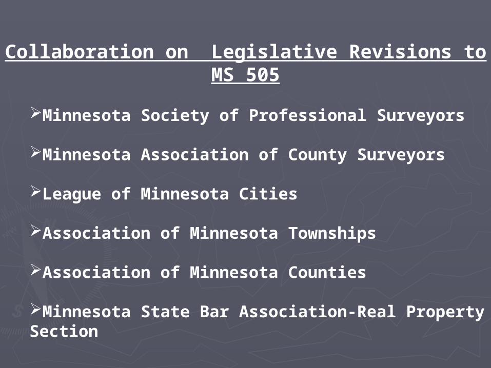
Collaboration on Legislative Revisions to MS 505
Minnesota Society of Professional Surveyors
Minnesota Association of County Surveyors
League of Minnesota Cities
Association of Minnesota Townships
Association of Minnesota Counties
Minnesota State Bar Association-Real Property Section

Legislative ProcessLegislative Process
►Secured House and Senate Authors, Secured House and Senate Authors, Introduced billsIntroduced bills
►Bills had hearings in Local Government Bills had hearings in Local Government and Metropolitan Affairs and Judiciary and Metropolitan Affairs and Judiciary Committees in House and SenateCommittees in House and Senate
►Passed both floors of the House and Passed both floors of the House and Senate (after revisions)Senate (after revisions)
►Signed by the GovernorSigned by the Governor►Became effective August 1, 2007.Became effective August 1, 2007.
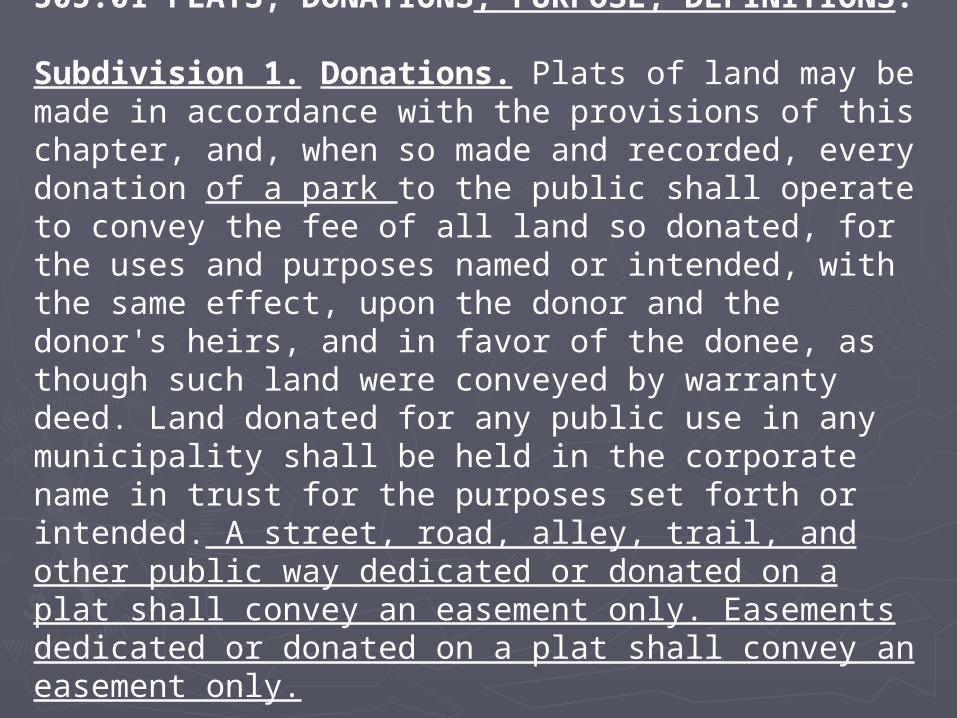
505.01 PLATS, DONATIONS, PURPOSE, DEFINITIONS.
Subdivision 1. Donations. Plats of land may be made in accordance with the provisions of this chapter, and, when so made and recorded, every donation of a park to the public shall operate to convey the fee of all land so donated, for the uses and purposes named or intended, with the same effect, upon the donor and the donor's heirs, and in favor of the donee, as though such land were conveyed by warranty deed. Land donated for any public use in any municipality shall be held in the corporate name in trust for the purposes set forth or intended. A street, road, alley, trail, and other public way dedicated or donated on a plat shall convey an easement only. Easements dedicated or donated on a plat shall convey an easement only.
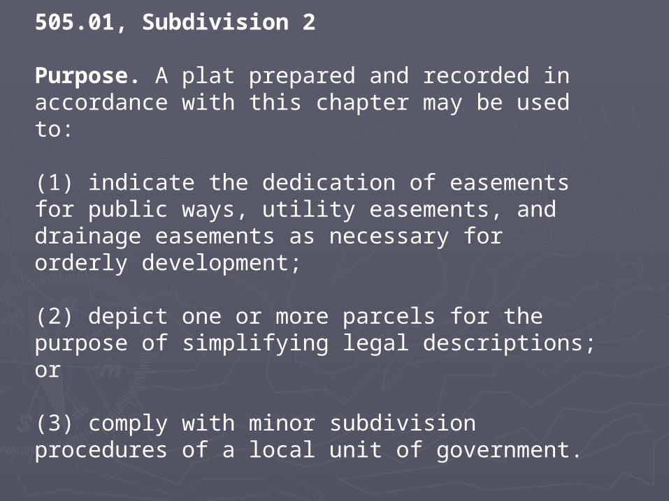
505.01, Subdivision 2
Purpose. A plat prepared and recorded in accordance with this chapter may be used to:
(1) indicate the dedication of easements for public ways, utility easements, and drainage easements as necessary for orderly development;
(2) depict one or more parcels for the purpose of simplifying legal descriptions; or
(3) comply with minor subdivision procedures of a local unit of government.
505.01, Subdivision 3.
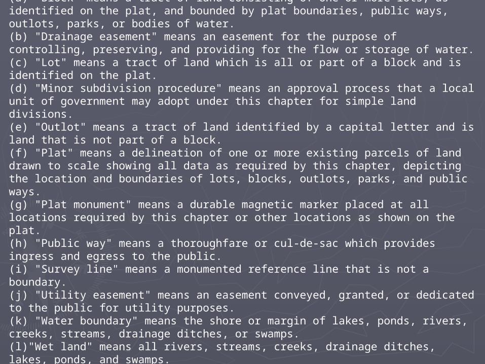
Definitions. (a) "Block" means a tract of land consisting of one or more lots, as identified on the plat, and bounded by plat boundaries, public ways, outlots, parks, or bodies of water.(b) "Drainage easement" means an easement for the purpose of controlling, preserving, and providing for the flow or storage of water.(c) "Lot" means a tract of land which is all or part of a block and is identified on the plat.(d) "Minor subdivision procedure" means an approval process that a local unit of government may adopt under this chapter for simple land divisions.(e) "Outlot" means a tract of land identified by a capital letter and is land that is not part of a block.(f) "Plat" means a delineation of one or more existing parcels of land drawn to scale showing all data as required by this chapter, depicting the location and boundaries of lots, blocks, outlots, parks, and public ways.(g) "Plat monument" means a durable magnetic marker placed at all locations required by this chapter or other locations as shown on the plat.(h) "Public way" means a thoroughfare or cul-de-sac which provides ingress and egress to the public.(i) "Survey line" means a monumented reference line that is not a boundary.(j) "Utility easement" means an easement conveyed, granted, or dedicated to the public for utility purposes.(k) "Water boundary" means the shore or margin of lakes, ponds, rivers, creeks, streams, drainage ditches, or swamps.(l)"Wet land" means all rivers, streams, creeks, drainage ditches, lakes, ponds, and swamps.(m) "Witness monument" means a plat monument placed at an identified distance and direction from a corner that is in a physical location that is not practical to monument.
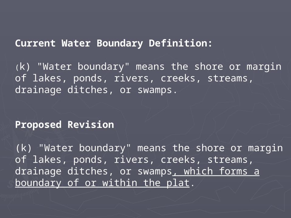
Current Water Boundary Definition:
(k) "Water boundary" means the shore or margin of lakes, ponds, rivers, creeks, streams, drainage ditches, or swamps.
Proposed Revision
(k) "Water boundary" means the shore or margin of lakes, ponds, rivers, creeks, streams, drainage ditches, or swamps, which forms a boundary of or within the plat.
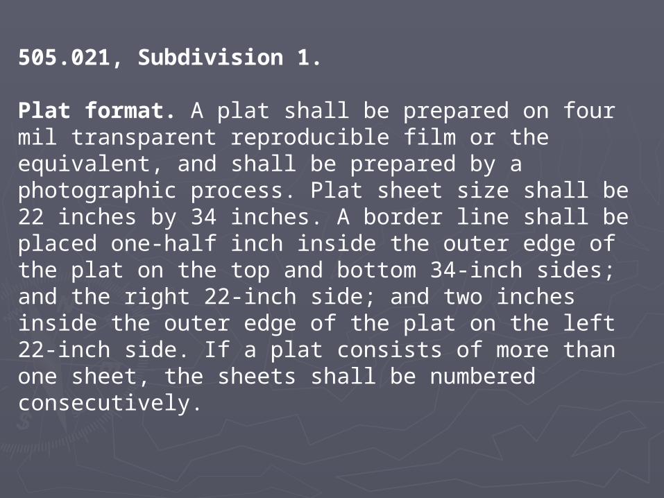
505.021, Subdivision 1.
Plat format. A plat shall be prepared on four mil transparent reproducible film or the equivalent, and shall be prepared by a photographic process. Plat sheet size shall be 22 inches by 34 inches. A border line shall be placed one-half inch inside the outer edge of the plat on the top and bottom 34-inch sides; and the right 22-inch side; and two inches inside the outer edge of the plat on the left 22-inch side. If a plat consists of more than one sheet, the sheets shall be numbered consecutively.
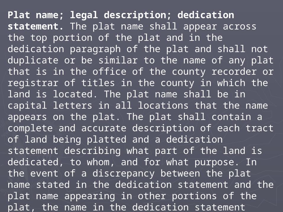
505.021, Subdivision 2
Plat name; legal description; dedication statement. The plat name shall appear across the top portion of the plat and in the dedication paragraph of the plat and shall not duplicate or be similar to the name of any plat that is in the office of the county recorder or registrar of titles in the county in which the land is located. The plat name shall be in capital letters in all locations that the name appears on the plat. The plat shall contain a complete and accurate description of each tract of land being platted and a dedication statement describing what part of the land is dedicated, to whom, and for what purpose. In the event of a discrepancy between the plat name stated in the dedication statement and the plat name appearing in other portions of the plat, the name in the dedication statement shall control.

505.021, Subdivision 3
Ownership interest; acknowledgment. The names and signatures of all fee owners, contract for deed vendees, and mortgage holders of record of the land being platted shall appear on the plat, together with a statement as to their interest. The marital status of individual owners shall appear on the plat. Entities shall identify the specific type of entity and the jurisdiction in which the entity is organized. Agents or officers for an entity shall state their position with the entity. A mortgage holder may consent to the plat by a written acknowledged statement in lieu of the mortgage holder's name and signature appearing on the plat. If a mortgage holder is included on the plat, the plat shall be signed by an authorized representative. If a certificate of notarial act on a plat includes the jurisdiction of the notarial act, the name of the notarial officer, the title of the notarial officer, and the date the notary commission expires, printed in pen and ink or typewritten on the plat, a plat shall be recorded regardless of whether a notary stamp was used or was illegible if used. All signatures on the plat shall be written with black ink (not ball point).
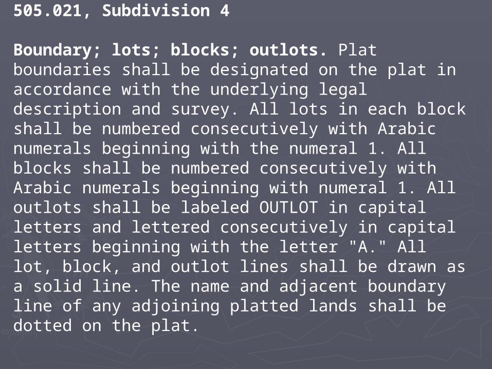
505.021, Subdivision 4
Boundary; lots; blocks; outlots. Plat boundaries shall be designated on the plat in accordance with the underlying legal description and survey. All lots in each block shall be numbered consecutively with Arabic numerals beginning with the numeral 1. All blocks shall be numbered consecutively with Arabic numerals beginning with numeral 1. All outlots shall be labeled OUTLOT in capital letters and lettered consecutively in capital letters beginning with the letter "A." All lot, block, and outlot lines shall be drawn as a solid line. The name and adjacent boundary line of any adjoining platted lands shall be dotted on the plat.
505.021, Subdivision 5
Mathematical data; dimensions; labels; symbols. A plat shall show all survey and mathematical information and data necessary to locate and retrace all boundary lines and monuments. Bearings, azimuths, and central angles shall be expressed in degrees, minutes, and seconds and labeled with the respective symbols. A north arrow and directional orientation note shall be shown. Distances shall be expressed in feet and hundredths of a foot. All straight line segments of the plat shall be labeled with the length of the line and bearing or azimuth. All curved line segments of the plat shall be labeled with the central angle, arc length, and radius length. If any curve is nontangential the dimensions shall include a long chord bearing or azimuth, and shall be labeled nontangential. The mathematical closure tolerance of the plat boundary, blocks, lots, and outlots shall not exceed 2/100 of a foot. A graphics scale shall be shown along with the label "Scale In Feet." Dimension and descriptive recitals in the legal description shown on the plat shall be depicted and labeled on the graphic portion of the plat. A symbol shall indicate the position of all found and set plat monuments, along with a description of each. Ditto marks and foot and inch symbols shall not be used.
505.021, Subdivision 6
Public ways. All public ways within the plat, whether existing at the time of platting or being dedicated by the plat shall be depicted on the plat together with the name and sufficient mathematical data to locate the position and width of the public way. The location of all existing public ways adjacent to the plat boundary shall be depicted on the plat as dashed lines. The name and width of the adjacent public ways shall be shown, if known.
505.021, Subdivision 7
Easements. All easements to be dedicated on the plat shall be depicted on the plat with purpose, identification, and sufficient mathematical data to locate the boundaries of the easements. Easements created on the plat shall be limited to public utility and/or drainage easements as defined in section 505.01, subdivision 3, paragraphs (b), (h), and (j). Easement boundaries shall be shown as dashed lines. Temporary easements, building setback information, and building floor elevations shall not be shown on a plat.

505.021, Subdivision 8
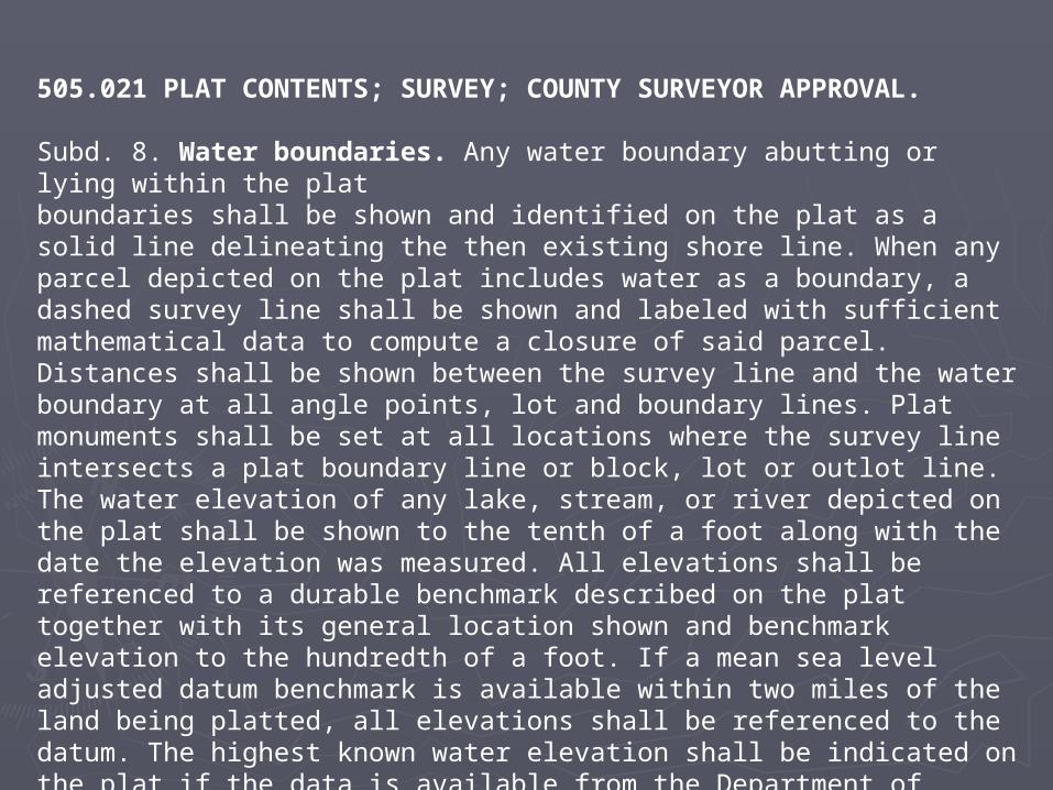
Water boundaries. Any water boundary abutting or lying within the plat boundaries shall be shown and identified on the plat as a solid line delineating the then existing shore line. When any parcel depicted on the plat includes water as a boundary, a dashed survey line shall be shown and labeled with sufficient mathematical data to compute a closure of said parcel. Distances shall be shown between the survey line and the water boundary at all angle points, lot and boundary lines. Plat monuments shall be set at all locations where the survey line intersects a plat boundary line or block, lot or outlot line. The water elevation of any lake, stream, or river depicted on the plat shall be shown to the tenth of a foot along with the date the elevation was measured. All elevations shall be referenced to a durable benchmark described on the plat together with its general location shown and benchmark elevation to the hundredth of a foot. If a mean sea level adjusted datum benchmark is available within two miles of the land being platted, all elevations shall be referenced to the datum. The highest known water elevation shall be indicated on the plat if the data is available from the Department of Natural Resources, the United States Army Corps of Engineers, or another appropriate governmental unit. All wet lands as defined in section 505.01, subdivision 3, paragraph (l), shall be shown on the plat.
Proposed Revision
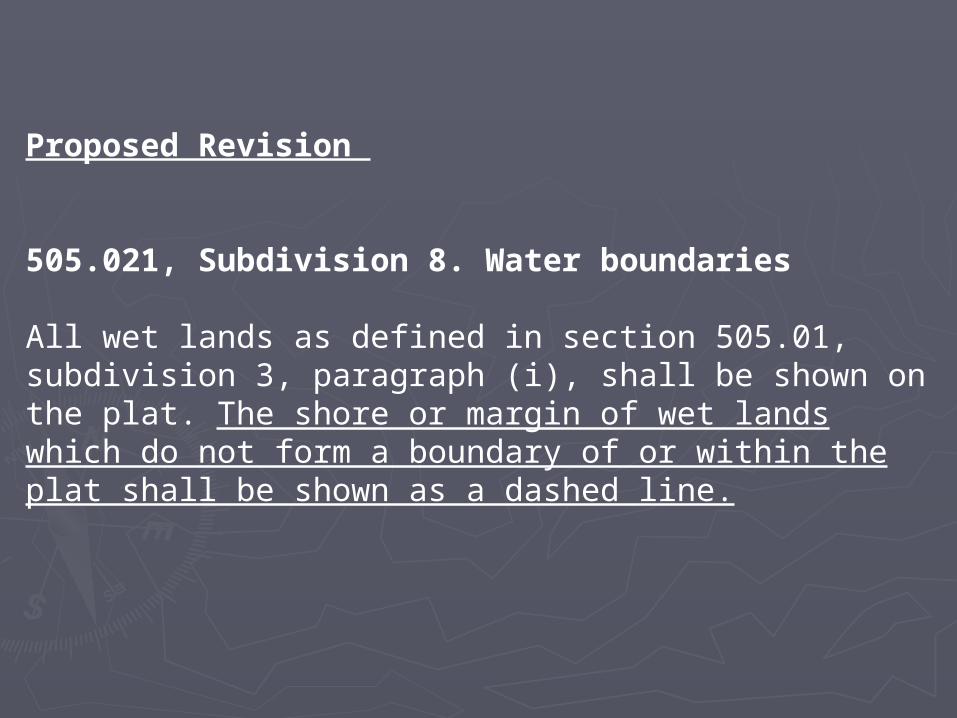
505.021, Subdivision 8. Water boundaries
All wet lands as defined in section 505.01, subdivision 3, paragraph (i), shall be shown on the plat. The shore or margin of wet lands which do not form a boundary of or within the plat shall be shown as a dashed line.
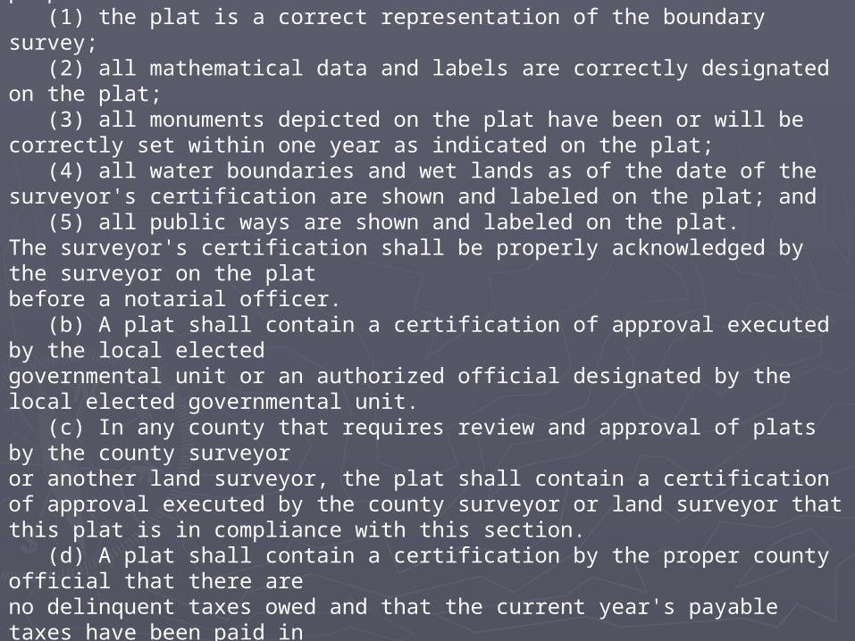
505.021, Subdivision 9Certifications. (a) A plat shall contain a certification by the land surveyor who surveyed or directly supervised the survey of the land being platted, and prepared the plat or directly supervised the plat preparation. The certificate shall state that: (1) the plat is a correct representation of the boundary survey; (2) all mathematical data and labels are correctly designated on the plat; (3) all monuments depicted on the plat have been or will be correctly set within one year as indicated on the plat; (4) all water boundaries and wet lands as of the date of the surveyor's certification are shown and labeled on the plat; and (5) all public ways are shown and labeled on the plat. The surveyor's certification shall be properly acknowledged by the surveyor on the plat before a notarial officer. (b) A plat shall contain a certification of approval executed by the local elected governmental unit or an authorized official designated by the local elected governmental unit. (c) In any county that requires review and approval of plats by the county surveyor or another land surveyor, the plat shall contain a certification of approval executed by the county surveyor or land surveyor that this plat is in compliance with this section. (d) A plat shall contain a certification by the proper county official that there are no delinquent taxes owed and that the current year's payable taxes have been paid in accordance with section 272.12. (e) A plat shall contain a certification of recording by the county recorder or registrar of titles, or both, if the plat contains both nonregistered and registered property.
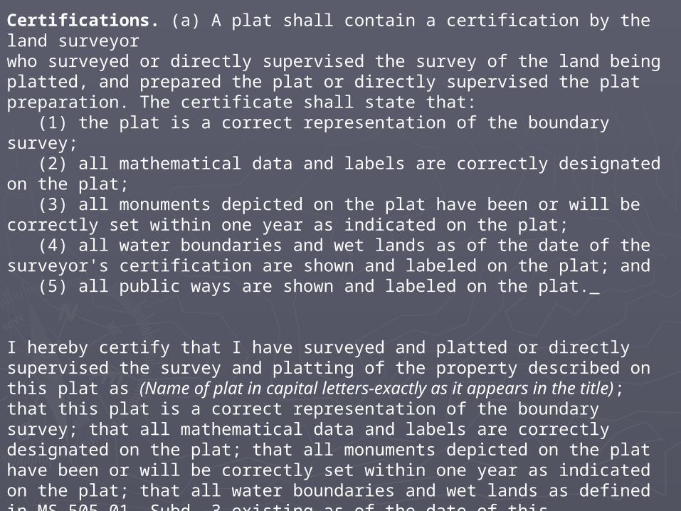
Certifications. (a) A plat shall contain a certification by the land surveyor who surveyed or directly supervised the survey of the land being platted, and prepared the plat or directly supervised the plat preparation. The certificate shall state that: (1) the plat is a correct representation of the boundary survey; (2) all mathematical data and labels are correctly designated on the plat; (3) all monuments depicted on the plat have been or will be correctly set within one year as indicated on the plat; (4) all water boundaries and wet lands as of the date of the surveyor's certification are shown and labeled on the plat; and (5) all public ways are shown and labeled on the plat.
I hereby certify that I have surveyed and platted or directly supervised the survey and platting of the property described on this plat as (Name of plat in capital letters-exactly as it appears in the title); that this plat is a correct representation of the boundary survey; that all mathematical data and labels are correctly designated on the plat; that all monuments depicted on the plat have been or will be correctly set within one year as indicated on the plat; that all water boundaries and wet lands as defined in MS 505.01, Subd. 3 existing as of the date of this certification are shown and labeled on the plat; and that all public ways are shown and labeled on the plat.
_________________________________________(Name of Surveyor), Land SurveyorMinnesota License No.__________
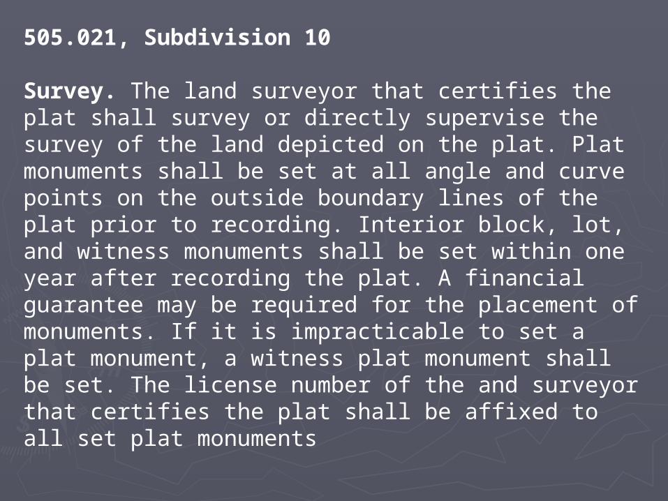
505.021, Subdivision 10
Survey. The land surveyor that certifies the plat shall survey or directly supervise the survey of the land depicted on the plat. Plat monuments shall be set at all angle and curve points on the outside boundary lines of the plat prior to recording. Interior block, lot, and witness monuments shall be set within one year after recording the plat. A financial guarantee may be required for the placement of monuments. If it is impracticable to set a plat monument, a witness plat monument shall be set. The license number of the and surveyor that certifies the plat shall be affixed to all set plat monuments

505.021 PLAT CONTENTS; SURVEY; COUNTY SURVEYOR APPROVAL.
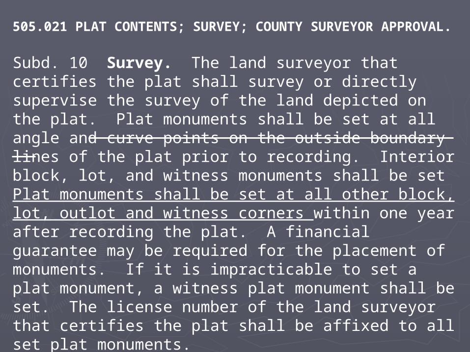
Subd. 10 Survey. The land surveyor that certifies the plat shall survey or directly supervise the survey of the land depicted on the plat. Plat monuments shall be set at all angle and curve points on the outside boundary lines of the plat prior to recording. Interior block, lot, and witness monuments shall be set Plat monuments shall be set at all other block, lot, outlot and witness corners within one year after recording the plat. A financial guarantee may be required for the placement of monuments. If it is impracticable to set a plat monument, a witness plat monument shall be set. The license number of the land surveyor that certifies the plat shall be affixed to all set plat monuments.
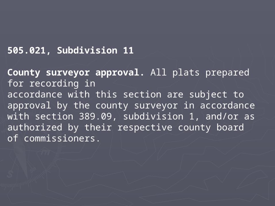
505.021, Subdivision 11
County surveyor approval. All plats prepared for recording in accordance with this section are subject to approval by the county surveyor in accordance with section 389.09, subdivision 1, and/or as authorized by their respective county board of commissioners.
505.03, Subdivision 1,
City, town, and county approval. Plats shall, except in cities whose charters provide for official supervision of plats by municipal officers or bodies, together with an abstract and certificate of title, be presented for approval to the council of the city or town board of towns wherein there reside over 5,000 people in which the land is located; and, if the land is located outside the limits of any city, or such town, then to the board of county commissioners of the county in which the land is located. Plats that subdivide land are subject to the approval of the elected body of the local governmental units exercising authority over the subdivision of the land. Plats that only delineate existing parcels or comply with a minor subdivision procedure may be approved by a local government official designated by the governing body of the local governmental unit exercising authority over the subdivision of land.
505.04
REAL ESTATE TAXES; RECORDING; COPIES.Every plat, when duly certified, signed, and acknowledged, as provided in section 505.021 , and upon presentation of a certificate from the authorized county official that the current year's taxes have been paid, shall be recorded in the office of the county recorder or registrar of titles, or both, if the plat contains both nonregistered and registered property. An exact transparent reproducible copy shall, at the discretion of the county recorder or registrar of titles, be provided to the county recorder or registrar of titles, or both, if the plat contains both nonregistered and registered property. The official plat shall be labeled "OFFICIAL PLAT" and any copy shall be labeled "copy." The official plat and any copy shall be placed under the direct supervision of the county recorder or registrar of titles, or both, if the plat contains both nonregistered and registered property and be open to inspection by the public. In counties having a full-time county surveyor who operates an office on a full-time basis, the exact copy may be placed under the direct supervision of the county surveyor and be open to inspection by the public. Upon request of the county auditor of the county wherein the land is situated, the county recorder or registrar of titles shall cause a reproduction copy of the official plat, or of the exact copy, to be made and filed with the county auditor, at the expense of the county.
505.08, Subdivision 2
Public certified copies. The copies of the official plat or of the exact reproducible copy shall be compared and certified to by the county recorder or registrar of titles in the manner in which certified copies of records are issued in the recorder's or registrar's office, and the copy thereof shall for the use of the general public and anyone shall have access to and may inspect such certified copy during normal business hours. When the plat includes both registered and nonregistered land, copies thereof shall be so certified and available for such general public use in each of the offices of the county recorder and registrar of titles; provided, however, that only one such copy so certified shall be provided for general public use in those counties wherein the offices of the county recorder and registrar of titles are one and the same. When any copy, or any part thereof, shall become illegible from use or wear or otherwise, it shall be the duty of the county recorder or registrar of titles or county surveyor, depending upon where the copy resides, to make a reproduction copy of the official plat, or the exact transparent reproducible copy. It shall be the responsibility of the county recorder or registrar of titles to compare the copy, certify that it is a correct copy thereof, by proper certificate as set forth above, and it shall be made available in place of the illegible copy. Reproductions from the exact transparent reproducible copy shall be available to any person upon request and the cost of such reproductions shall be paid by the person making such request. If a copy of the official plat is requested, the county recorder shall prepare it and duly certify that it is a copy of the official plat and the cost of such copy shall be paid by the person making such request.

505.1792, Subdivision 2
Requirements. The map or plat shall be prepared in compliance with section 505.021, subdivisions 1 and 5, and recorded in compliance with section 505.04.

REPEALER.
Minnesota Statutes 2006, sections 505.02; and 505.08, subdivisions 1, 2a, and 3, are repealed
Next StepsNext Steps
►After reviewing 2007 changes, we are After reviewing 2007 changes, we are recommending some additional recommending some additional updates to the platting lawupdates to the platting law
►Technical corrections from last yearTechnical corrections from last year►Additional changes to conform Chapter Additional changes to conform Chapter
508 with the changes we made to 508 with the changes we made to Chapter 505 last yearChapter 505 last year

PROPOSED 2008 PROPOSED 2008 REVISIONSREVISIONS
Minnesota Statutes Chapter Minnesota Statutes Chapter 505,505,
Chapter 508 and Chapter Chapter 508 and Chapter 508A508A
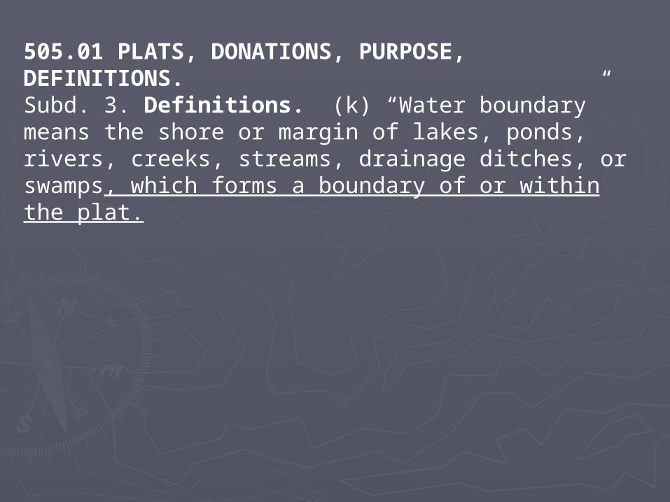
505.01 PLATS, DONATIONS, PURPOSE, DEFINITIONS.Subd. 3. Definitions. (k) “Water boundary” means the shore or margin of lakes, ponds, rivers, creeks, streams, drainage ditches, or swamps, which forms a boundary of or within the plat.
505.021 PLAT CONTENTS; SURVEY; COUNTY SURVEYOR APPROVAL.
Subd. 8. Water boundaries. Any water boundary abutting or lying within the plat boundaries shall be shown and identified on the plat as a solid line delineating the then existing shore line. When any parcel depicted on the plat includes water as a boundary, a dashed survey line shall be shown and labeled with sufficient mathematical data to compute a closure of said parcel. Distances shall be shown between the survey line and the water boundary at all angle points, lot and boundary lines. Plat monuments shall be set at all locations where the survey line intersects a plat boundary line or block, lot or outlot line. The water elevation of any lake, stream, or river depicted on the plat shall be shown to the tenth of a foot along with the date the elevation was measured. All elevations shall be referenced to a durable benchmark described on the plat together with its general location shown and benchmark elevation to the hundredth of a foot. If a mean sea level adjusted datum benchmark is available within two miles of the land being platted, all elevations shall be referenced to the datum. The highest known water elevation shall be indicated on the plat if the data is available from the Department of Natural Resources, the United States Army Corps of Engineers, or another appropriate governmental unit. All wet lands as defined in section 505.01, subdivision 3, paragraph (l), shall be shown on the plat. The shore or margin of wet lands which do not form a boundary of or within the plat shall be shown as a dashed line.
505.021 PLAT CONTENTS; SURVEY; COUNTY SURVEYOR APPROVAL.
Subd. 10 Survey. The land surveyor that certifies the plat shall survey or directly supervise the survey of the land depicted on the plat. Plat monuments shall be set at all angle and curve points on the outside boundary lines of the plat prior to recording. Interior block, lot, and witness monuments shall be set Plat monuments shall be set at all other block, lot, outlot and witness corners within one year after recording the plat. A financial guarantee may be required for the placement of monuments. If it is impracticable to set a plat monument, a witness plat monument shall be set. The license number of the land surveyor that certifies the plat shall be affixed to all set plat monuments.
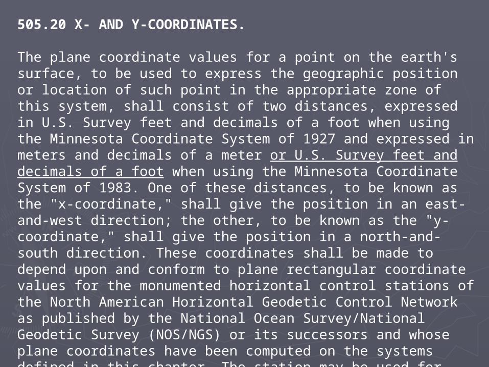
505.20 X- AND Y-COORDINATES.
The plane coordinate values for a point on the earth's surface, to be used to express the geographic position or location of such point in the appropriate zone of this system, shall consist of two distances, expressed in U.S. Survey feet and decimals of a foot when using the Minnesota Coordinate System of 1927 and expressed in meters and decimals of a meter or U.S. Survey feet and decimals of a foot when using the Minnesota Coordinate System of 1983. One of these distances, to be known as the "x-coordinate," shall give the position in an east-and-west direction; the other, to be known as the "y-coordinate," shall give the position in a north-and-south direction. These coordinates shall be made to depend upon and conform to plane rectangular coordinate values for the monumented horizontal control stations of the North American Horizontal Geodetic Control Network as published by the National Ocean Survey/National Geodetic Survey (NOS/NGS) or its successors and whose plane coordinates have been computed on the systems defined in this chapter. The station may be used for establishing a survey connection to either Minnesota Coordinate System, 1927 or 1983.
508.47 REGISTERED LANDS; TRANSFER, SURVEYS and508A.47 REGISTERED LANDS; TRANSFER, SURVEYS.
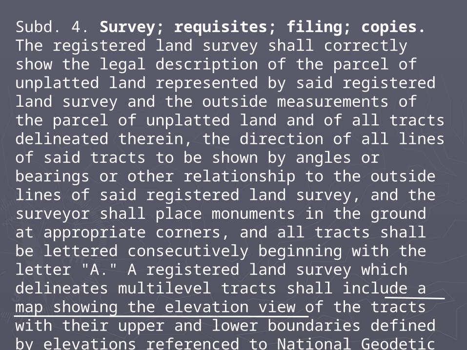
Subd. 4. Survey; requisites; filing; copies. The registered land survey shall correctly show the legal description of the parcel of unplatted land represented by said registered land survey and the outside measurements of the parcel of unplatted land and of all tracts delineated therein, the direction of all lines of said tracts to be shown by angles or bearings or other relationship to the outside lines of said registered land survey, and the surveyor shall place monuments in the ground at appropriate corners, and all tracts shall be lettered consecutively beginning with the letter "A." A registered land survey which delineates multilevel tracts shall include a map showing the elevation view of the tracts with their upper and lower boundaries defined by elevations referenced to National Geodetic Vertical Datum, 1929 adjustment a mean sea level adjusted datum bench mark.

508.47 REGISTERED LANDS; TRANSFER, SURVEYS.508A.47 REGISTERED LANDS; TRANSFER, SURVEYS.
Subd. 4, continuedNone of said tracts or parts thereof may be dedicated to the public by said registered land survey. Except in counties having microfilming capabilities, a reproduction copy of the registered land survey shall be delivered to the county auditor. The registered land survey shall be on paper, mounted on cloth, shall be a black on white drawing, the scale to be not smaller than one inch equals 200 feet, and shall be certified to be a correct representation of said parcel of unplatted land by a registered surveyor. The mounted drawing shall be either 17 inches by 14 inches or at the registrar's request 20 inches by 30 inches and not less than 2-1/2 inches of the 14 inches or the 20 inches shall be blank for binding purposes, and such survey shall be filed in triplicate with the registrar of titles. A licensed land surveyor shall certify that the registered land survey is a correct representation of said parcel of unplatted land. The registered land survey shall be prepared on four mil transparent reproducible film or the equivalent, and shall be prepared by a photographic process. Sheet size shall be 22 inches by 34 inches. A border line shall be placed one-half inch inside the outer edge of the sheet on the top and bottom 34-inch sides; and the right 22-inch side; and two inches inside the outer edge of the sheet on the left 22-inch side. If the registered land survey consists of more than one sheet, the sheets shall be numbered consecutively.
508.47 REGISTERED LANDS; TRANSFER, SURVEYS.508A.47 REGISTERED LANDS; TRANSFER, SURVEYS.
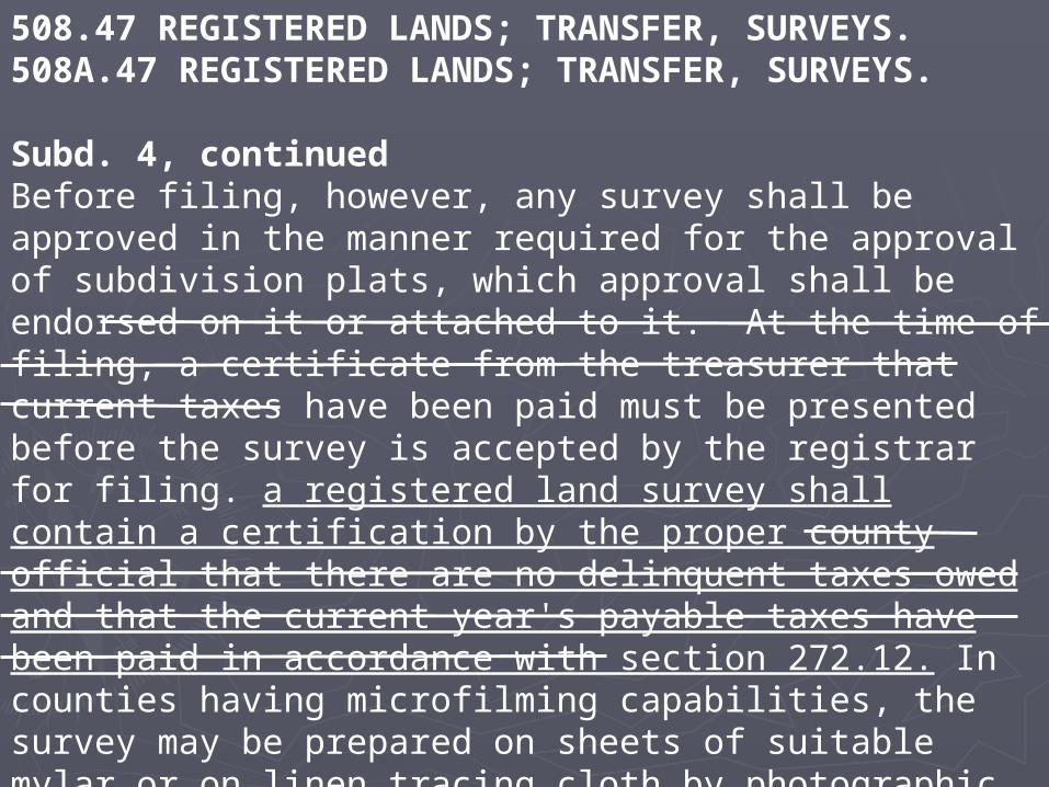
Subd. 4, continuedBefore filing, however, any survey shall be approved in the manner required for the approval of subdivision plats, which approval shall be endorsed on it or attached to it. At the time of filing, a certificate from the treasurer that current taxes have been paid must be presented before the survey is accepted by the registrar for filing. a registered land survey shall contain a certification by the proper county official that there are no delinquent taxes owed and that the current year's payable taxes have been paid in accordance with section 272.12. In counties having microfilming capabilities, the survey may be prepared on sheets of suitable mylar or on linen tracing cloth by photographic process or on material of equal quality. Notwithstanding any provisions of subdivision 5 to the contrary, no other copies of the survey need be filed.

508.47 REGISTERED LANDS; TRANSFER, SURVEYS.508A.47 REGISTERED LANDS; TRANSFER, SURVEYS.
Subd. 5. Filing registered land survey. The registered land survey shall be filed in the office of the registrar of titles, who shall number each registered land survey, the numbers to run consecutively beginning with the number "1." One copy of each registered land survey shall be retained by the registrar of titles as a master copy, one copy filed in a registered land survey register in the registrar's office and made available to the public, and one copy delivered to the county auditor who may thereafter refer to it in connection with the tax descriptions when convenient. Thereafter the tracts in each registered land survey shall be known as Tract ....., R registered L land S survey No. ...., and all conveyances shall describe said property accordingly; but the registrar shall not accept for filing and registration any conveyance of unplatted registered land if the land is described in the conveyance according to a registered land survey which has not been approved as provided in subdivision 4 unless the approval of the body authorized to approve subdivision plats is endorsed thereon or attached thereto.