Embed Size (px)
Citation preview
“How to Collect the Best GPS Data Under Tree Canopy”
Timber Measurement SocietyBy: Jon Aschenbach
Resource Supply, LLC 11607 SW Winter Lake DrTigard, OR 97223503-521-0888
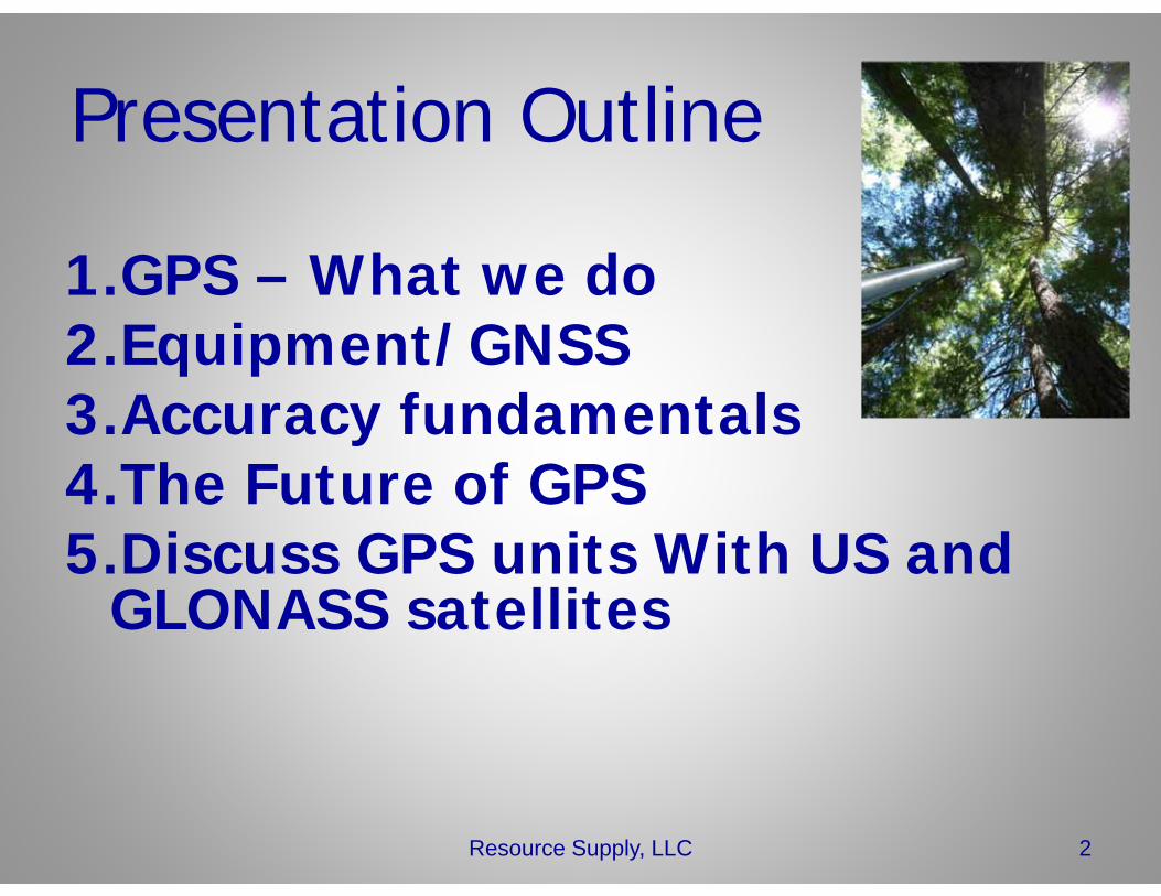
Presentation Outline
1.GPS – What we do2.Equipment/GNSS3.Accuracy fundamentals4.The Future of GPS5.Discuss GPS units With US and
GLONASS satellites
2Resource Supply, LLC
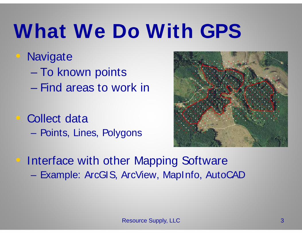
What We Do With GPS• Navigate
– To known points– Find areas to work in
• Collect data– Points, Lines, Polygons
• Interface with other Mapping Software– Example: ArcGIS, ArcView, MapInfo, AutoCAD
3Resource Supply, LLC
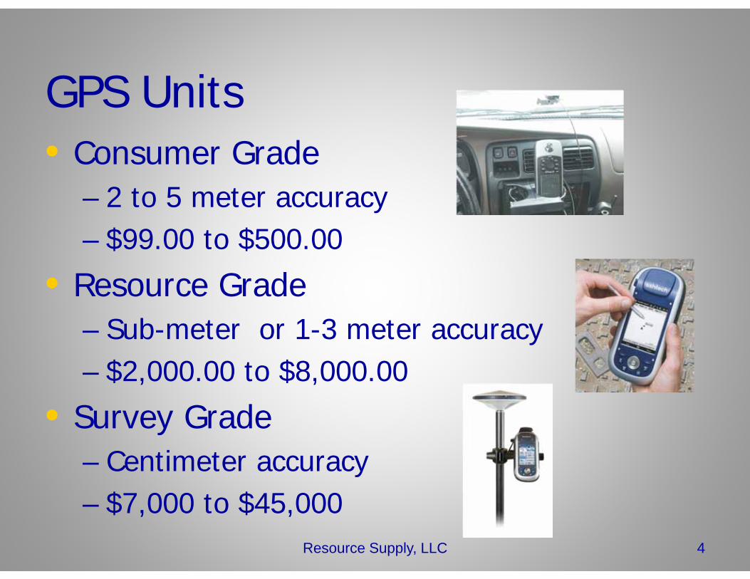
GPS Units• Consumer Grade
– 2 to 5 meter accuracy– $99.00 to $500.00
• Resource Grade– Sub-meter or 1-3 meter accuracy– $2,000.00 to $8,000.00
• Survey Grade– Centimeter accuracy– $7,000 to $45,000
4Resource Supply, LLC
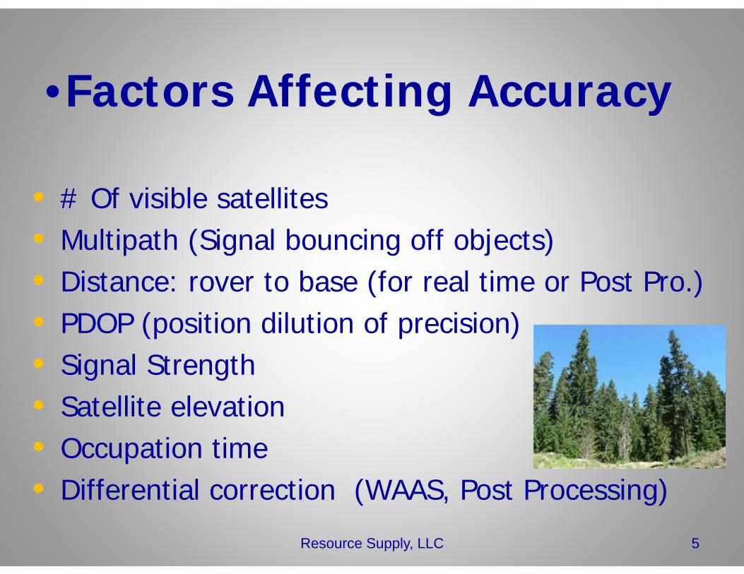
•Factors Affecting Accuracy
• # Of visible satellites• Multipath (Signal bouncing off objects)• Distance: rover to base (for real time or Post Pro.)• PDOP (position dilution of precision)• Signal Strength• Satellite elevation• Occupation time• Differential correction (WAAS, Post Processing)
5Resource Supply, LLC
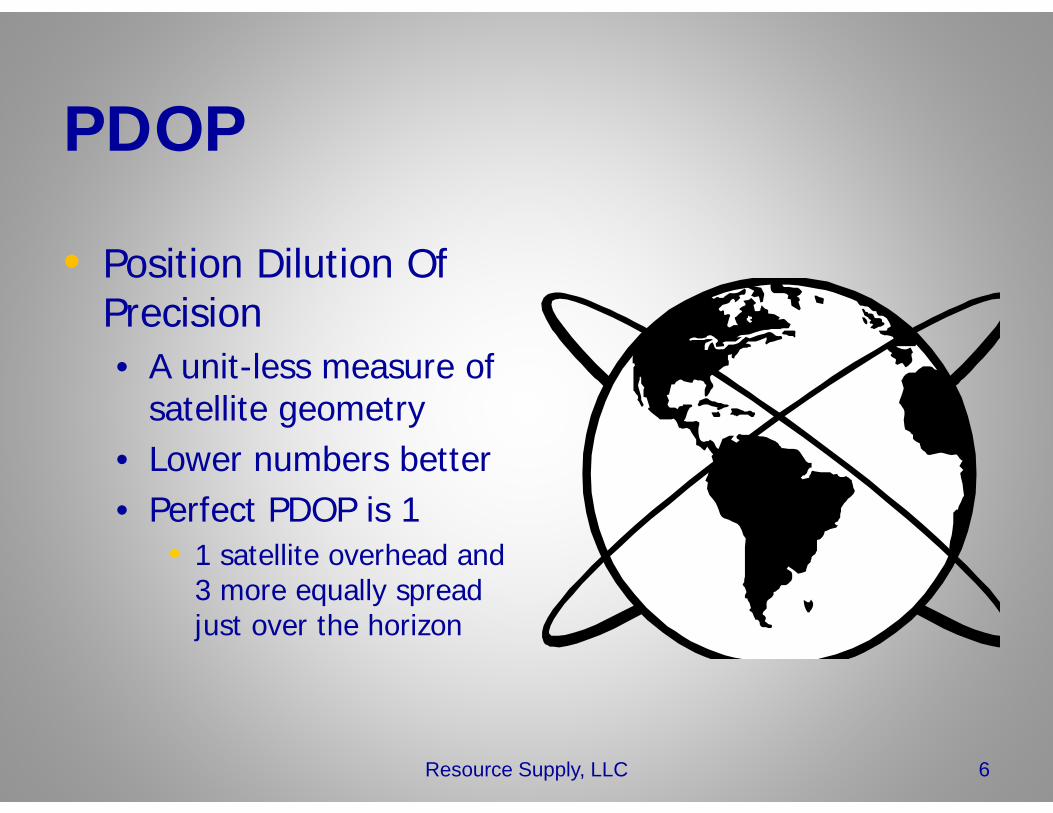
PDOP
• Position Dilution Of Precision• A unit-less measure of
satellite geometry• Lower numbers better• Perfect PDOP is 1
• 1 satellite overhead and 3 more equally spread just over the horizon
6Resource Supply, LLC
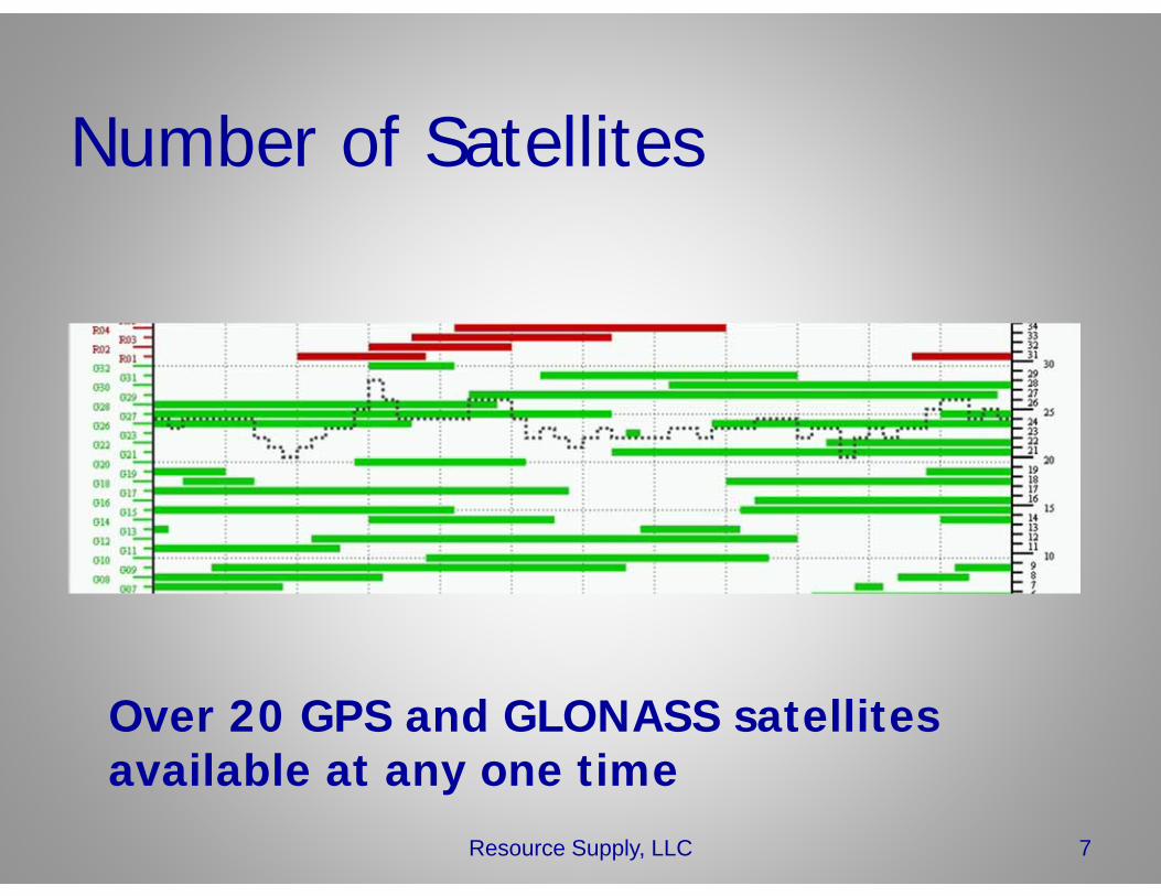
Number of Satellites
Resource Supply, LLC 7
Over 20 GPS and GLONASS satellites available at any one time
Multipath• Signals bounce off objects and then they
hit the GPS antenna.– Water– Tree Boles– Foliage– Buildings
• Manufacturers try to mitigate this in software
Resource Supply, LLC 8
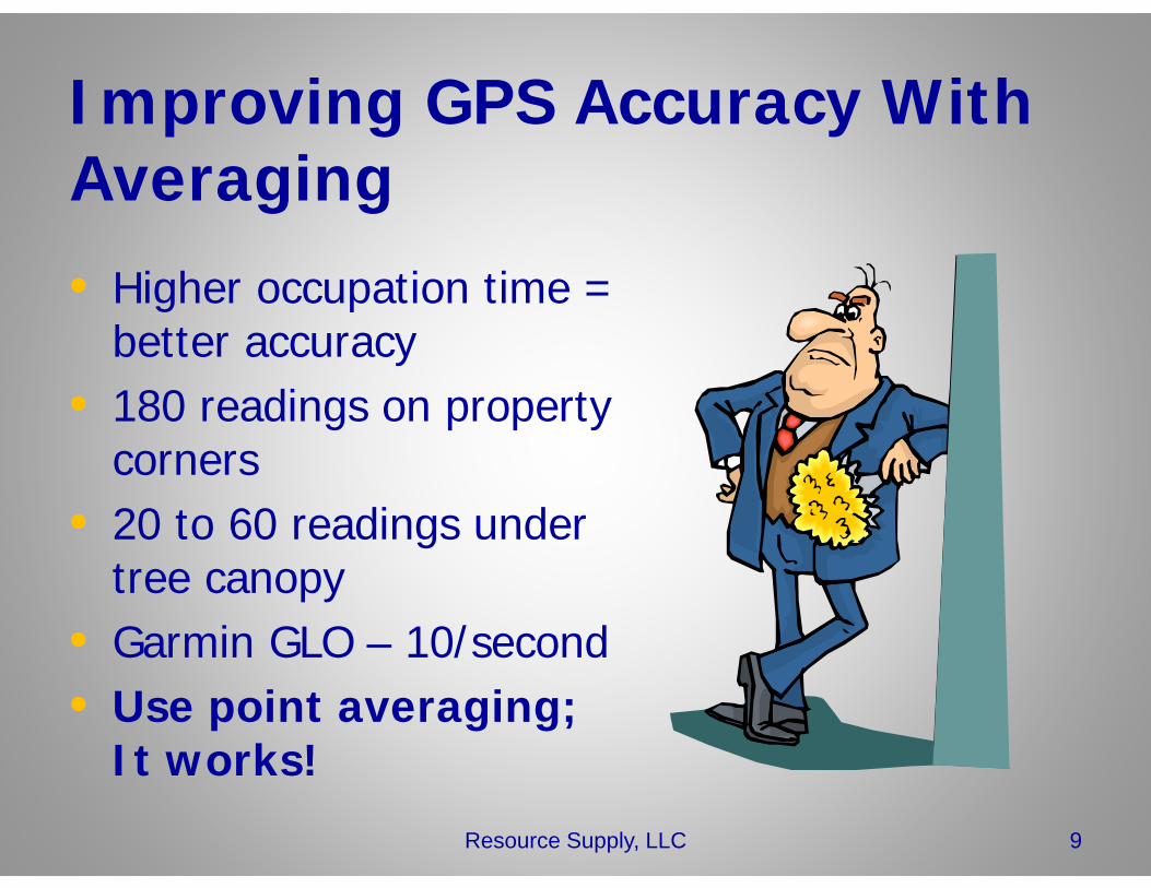
Improving GPS Accuracy With Averaging
• Higher occupation time = better accuracy
• 180 readings on property corners
• 20 to 60 readings under tree canopy
• Garmin GLO – 10/second• Use point averaging;
It works!
9Resource Supply, LLC
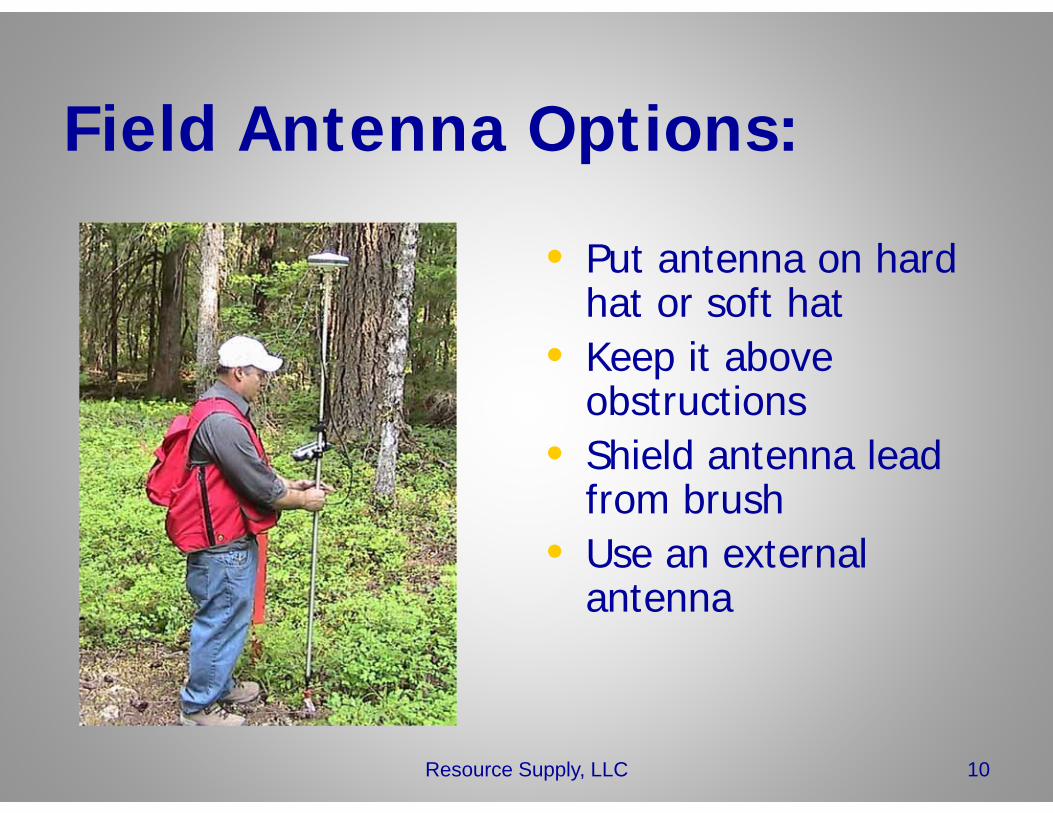
Field Antenna Options:
• Put antenna on hard hat or soft hat
• Keep it above obstructions
• Shield antenna lead from brush
• Use an external antenna
10Resource Supply, LLC
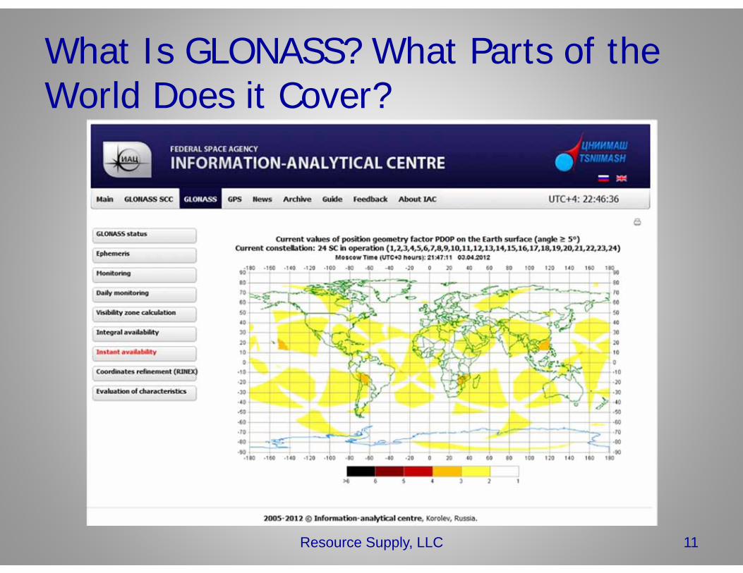
What Is GLONASS? What Parts of the World Does it Cover?
11Resource Supply, LLC
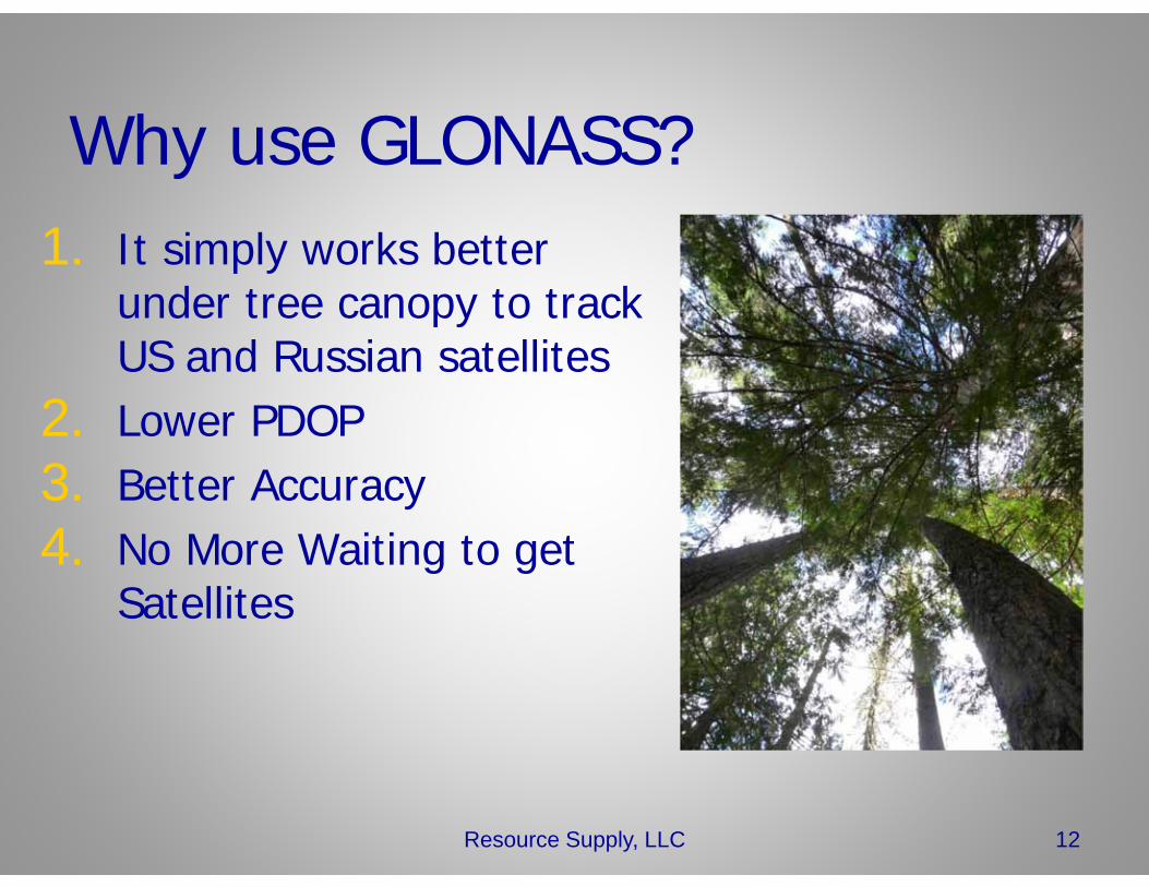
Why use GLONASS?1. It simply works better
under tree canopy to track US and Russian satellites
2. Lower PDOP3. Better Accuracy4. No More Waiting to get
Satellites
12Resource Supply, LLC
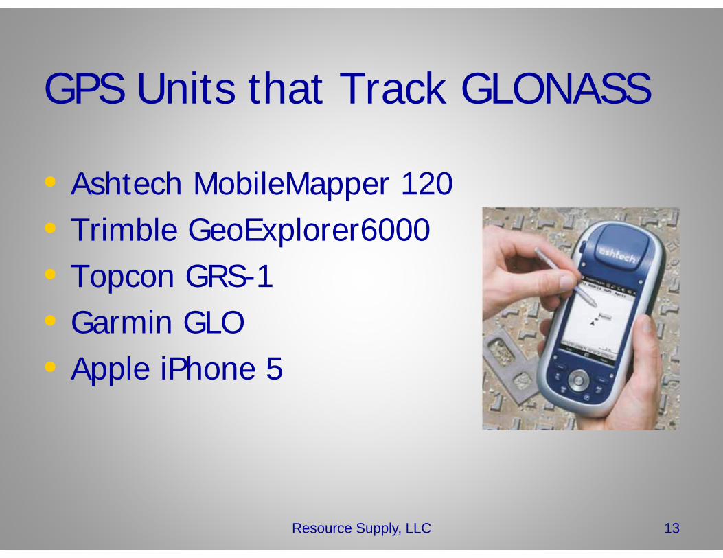
GPS Units that Track GLONASS
• Ashtech MobileMapper 120• Trimble GeoExplorer6000• Topcon GRS-1• Garmin GLO• Apple iPhone 5
13Resource Supply, LLC
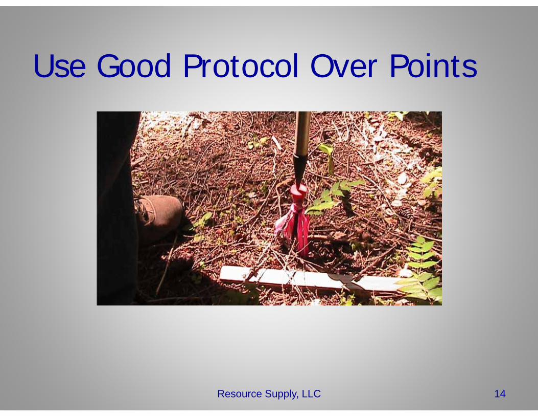
Use Good Protocol Over Points
Resource Supply, LLC 14
Other Factors• Use a range pole when feasible
– Elevates antenna– More precise over the point
• Be Patient• If elevation is important, enter antenna
height/adjustment from HAE to MSL• Keep using GPS & track your results• Use GPS offsets
15Resource Supply, LLC
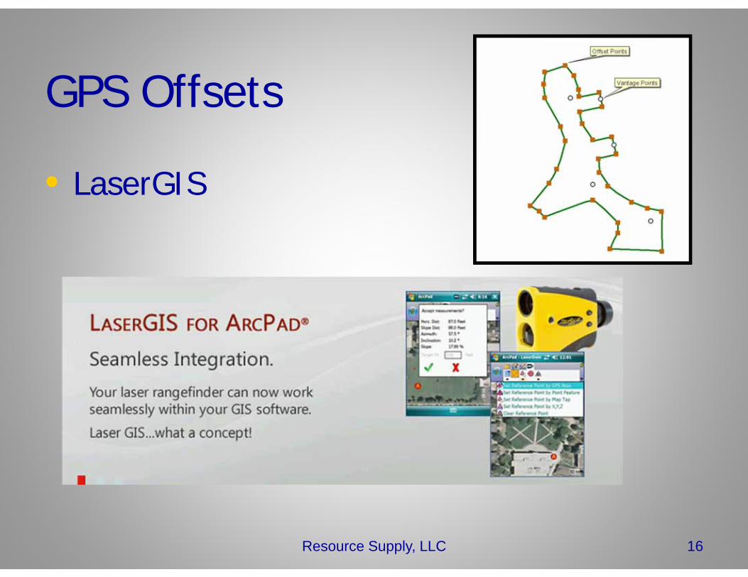
GPS Offsets
• LaserGIS
Resource Supply, LLC 16
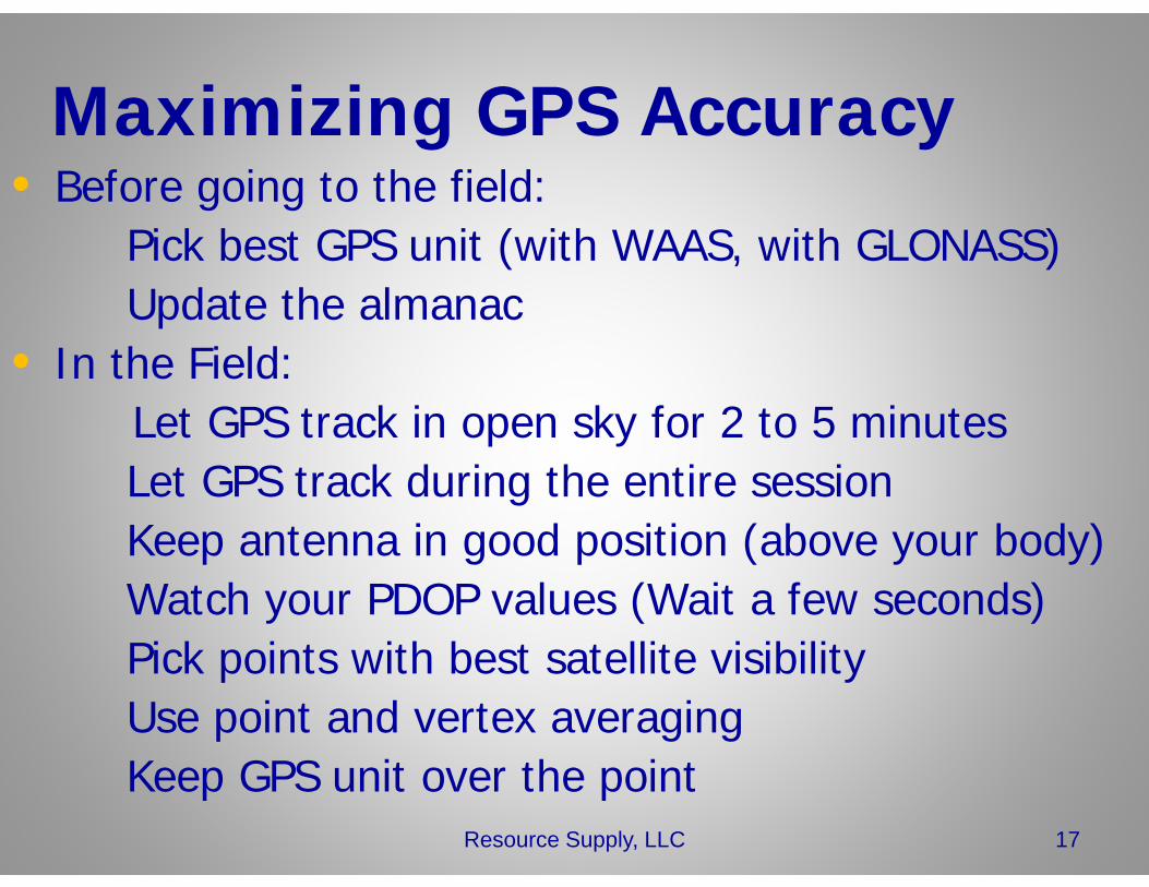
Maximizing GPS Accuracy• Before going to the field:
Pick best GPS unit (with WAAS, with GLONASS)Update the almanac
• In the Field:Let GPS track in open sky for 2 to 5 minutesLet GPS track during the entire sessionKeep antenna in good position (above your body)Watch your PDOP values (Wait a few seconds)Pick points with best satellite visibilityUse point and vertex averagingKeep GPS unit over the point
17Resource Supply, LLC
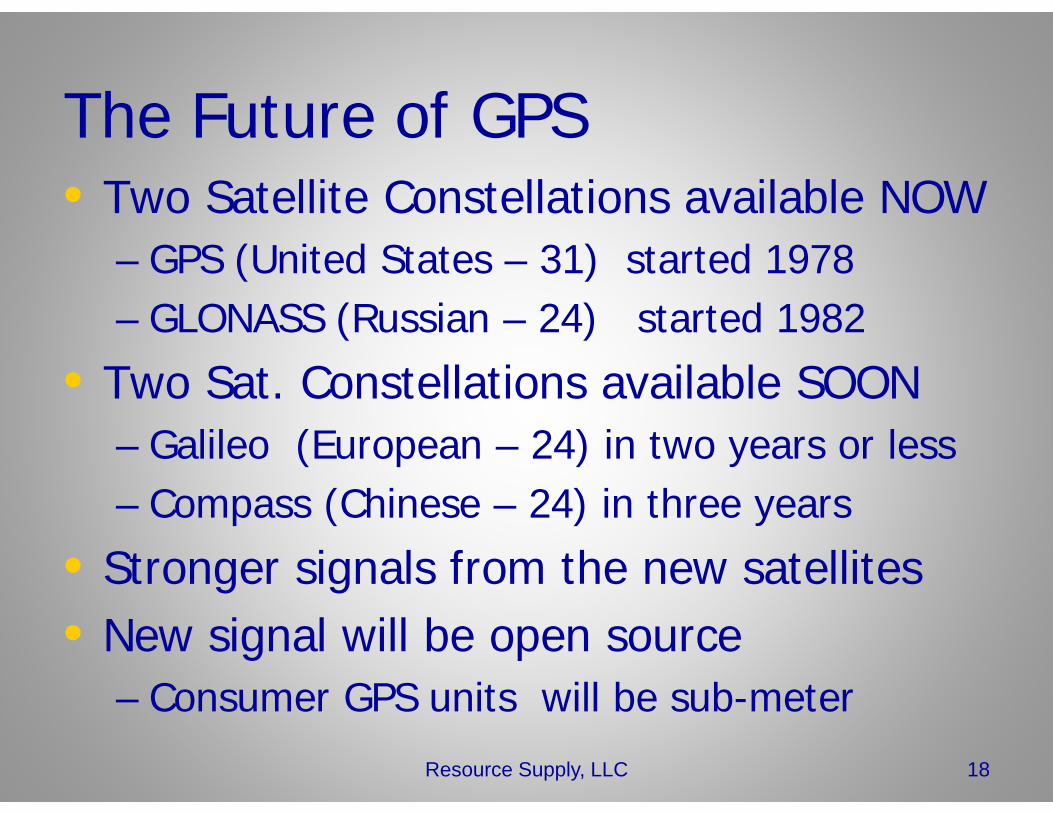
The Future of GPS• Two Satellite Constellations available NOW
– GPS (United States – 31) started 1978– GLONASS (Russian – 24) started 1982
• Two Sat. Constellations available SOON– Galileo (European – 24) in two years or less– Compass (Chinese – 24) in three years
• Stronger signals from the new satellites• New signal will be open source
– Consumer GPS units will be sub-meter
Resource Supply, LLC 18
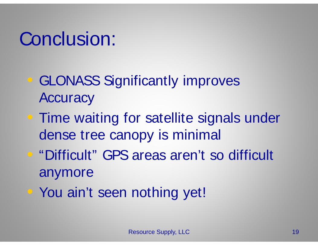
Conclusion:
• GLONASS Significantly improves Accuracy
• Time waiting for satellite signals under dense tree canopy is minimal
• “Difficult” GPS areas aren’t so difficult anymore
• You ain’t seen nothing yet!
Resource Supply, LLC 19
Thanks!
Resource Supply, LLC 20
For all your GPS Work, May your:•PDOPS be low•Satellites be High in the Sky


![Comparing terrestrial laser scanning and unmanned aerial ... · pushbroom spectrometer, a GPS inertial navigation system unit, and a Panasonic GX1 camera [32]. To create the canopy](https://img.pdfslide.us/doc/110x75/5e2037ec33b88d1f5111000e/comparing-terrestrial-laser-scanning-and-unmanned-aerial-pushbroom-spectrometer.jpg)