Embed Size (px)
Citation preview
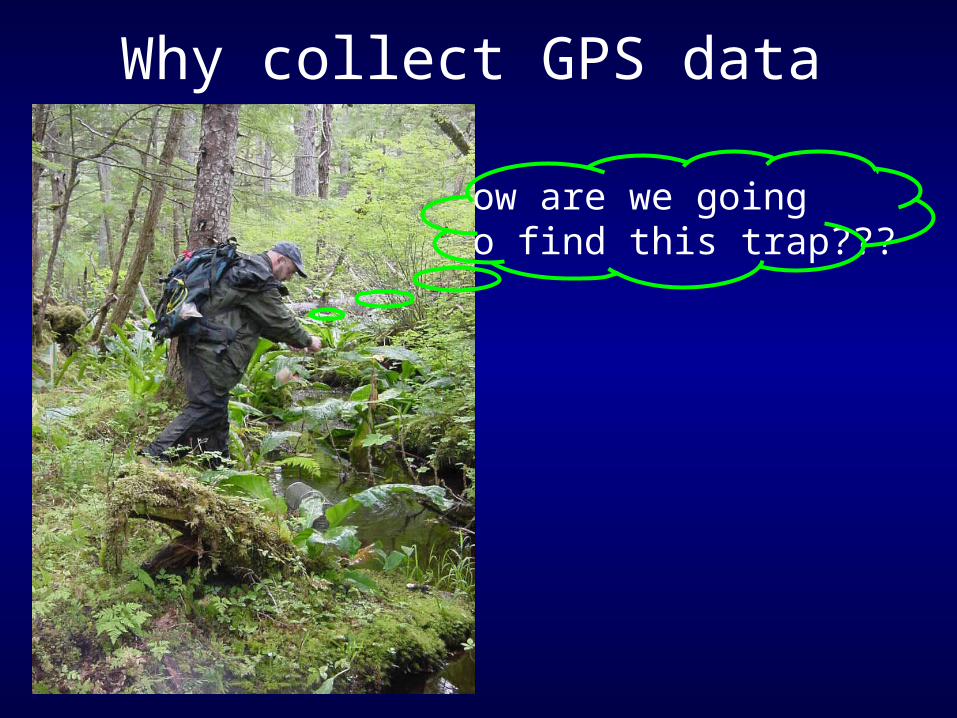
Why collect GPS data
How are we goingTo find this trap???
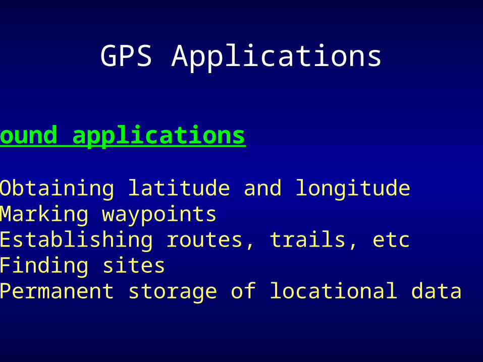
GPS Applications
Ground applications
Obtaining latitude and longitude Marking waypoints Establishing routes, trails, etc Finding sites Permanent storage of locational data
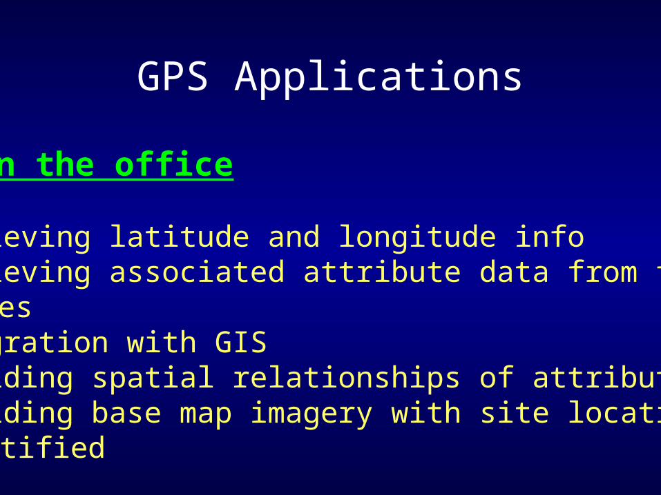
GPS Applications
Back in the office
Retrieving latitude and longitude info Retrieving associated attribute data from field
notes Integration with GIS Providing spatial relationships of attribute data Providing base map imagery with site locations identified
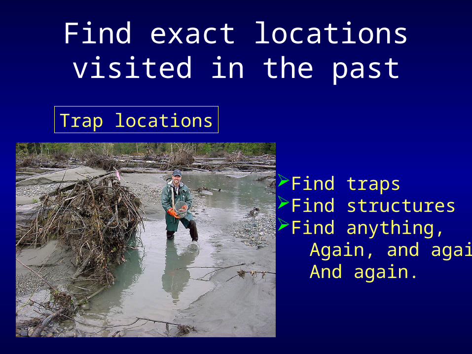
Find exact locations visited in the past
Trap locations
Find trapsFind structuresFind anything, Again, and again And again.
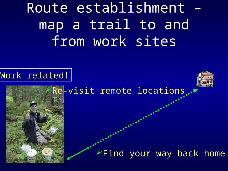
Route establishment – map a trail to and from work sites
Work related!
Re-visit remote locations
Find your way back home
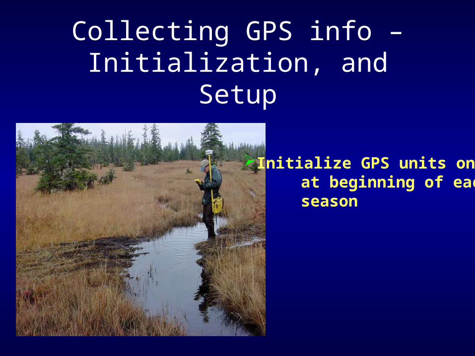
Collecting GPS info – Initialization, and Setup
Initialize GPS units once at beginning of each season
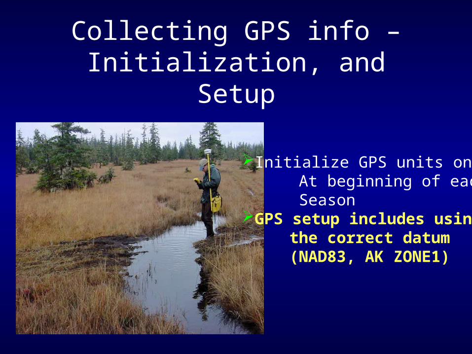
Collecting GPS info – Initialization, and Setup
Initialize GPS units once At beginning of each SeasonGPS setup includes using the correct datum (NAD83, AK ZONE1)
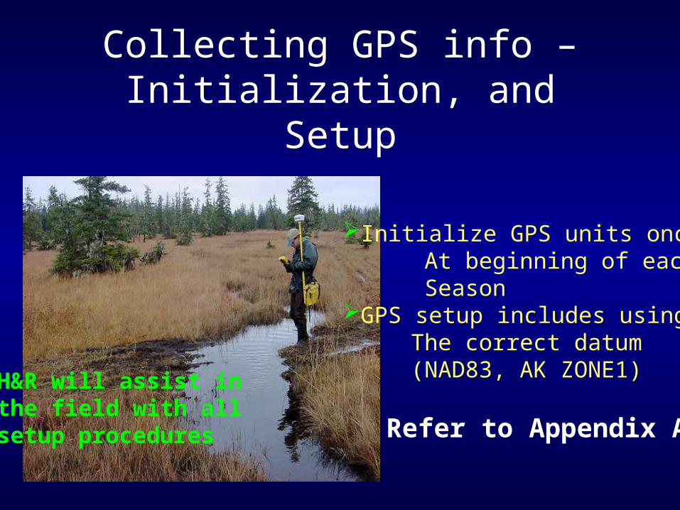
Collecting GPS info – Initialization, and Setup
Initialize GPS units once At beginning of each SeasonGPS setup includes using The correct datum (NAD83, AK ZONE1)H&R will assist in
the field with all setup procedures Refer to Appendix A
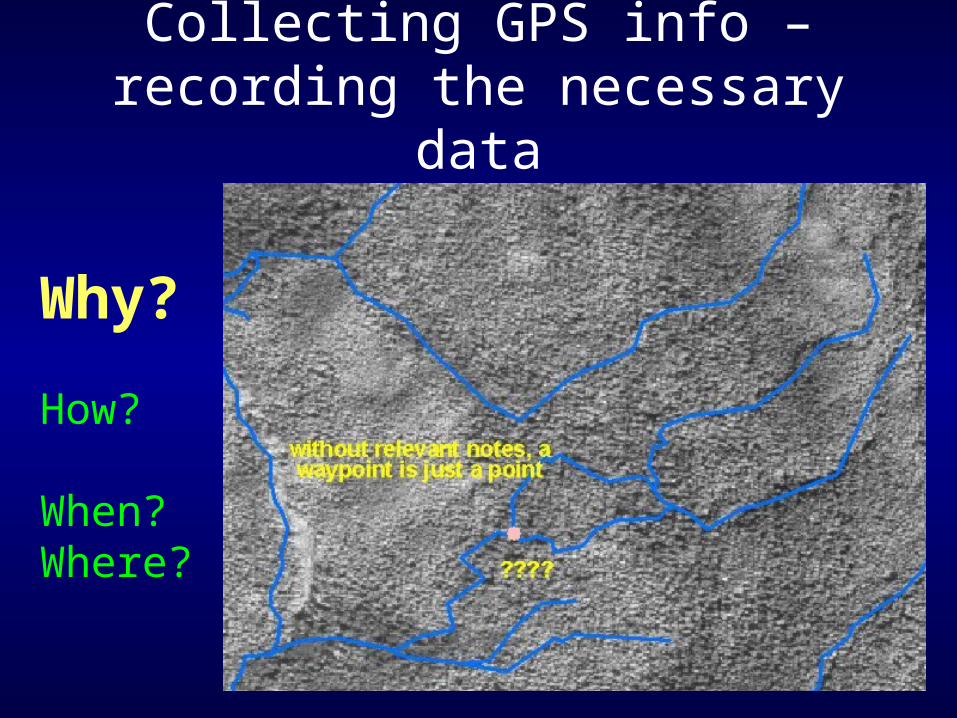
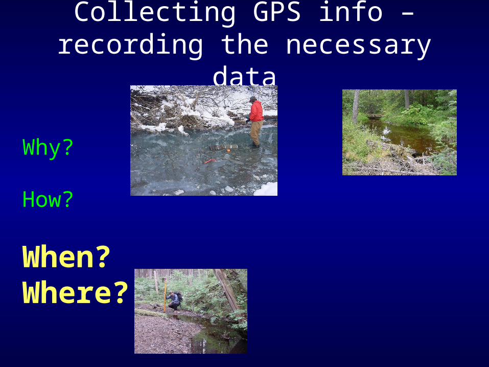
Collecting GPS info – recording the necessary data
Why?
How?
When?Where?
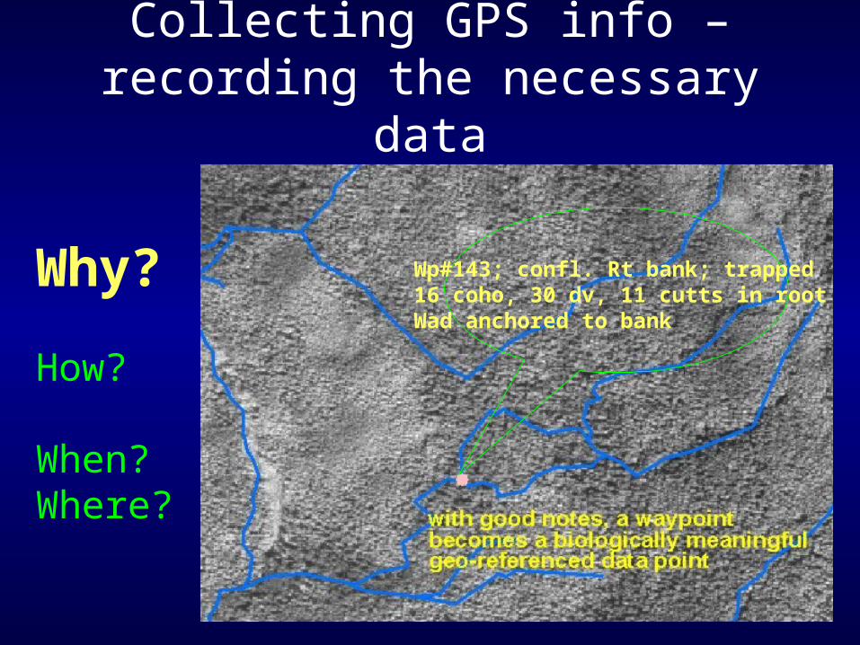
Collecting GPS info – recording the necessary data
Why?
How?
When?Where?
Wp#143; confl. Rt bank; trapped16 coho, 30 dv, 11 cutts in rootWad anchored to bank
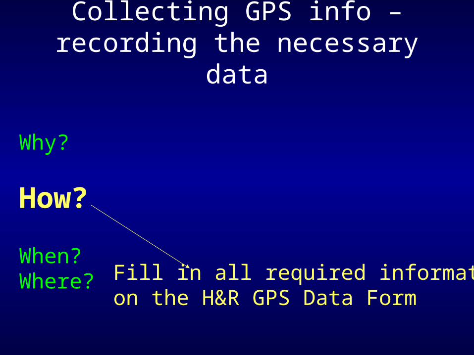
Collecting GPS info – recording the necessary data
Why?
How?
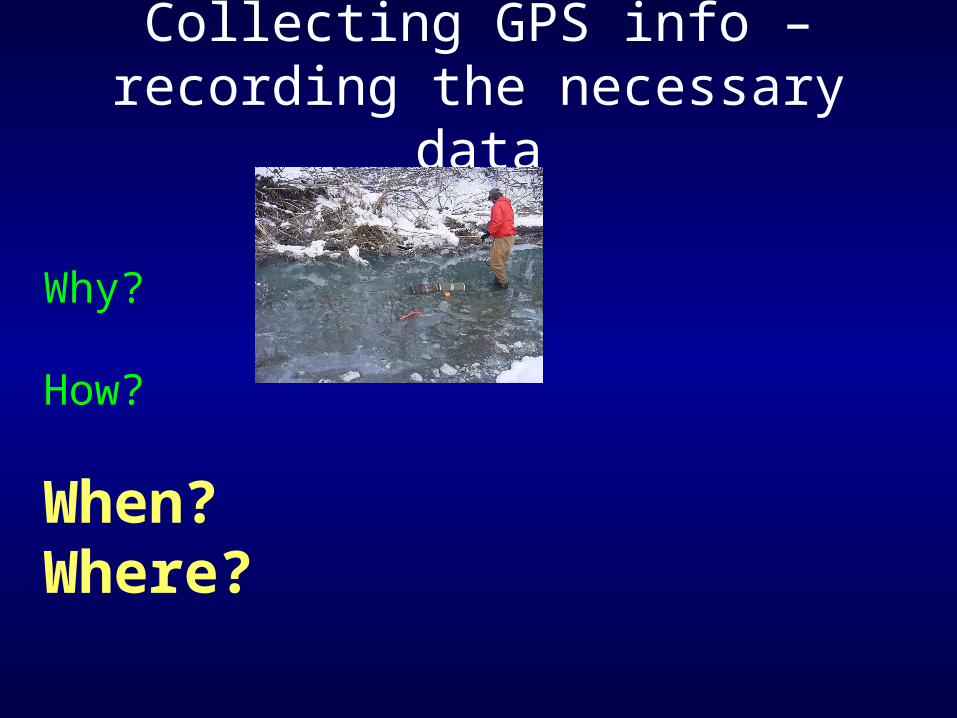
When?Where? Fill in all required information
on the H&R GPS Data Form
Collecting GPS info – recording the necessary data
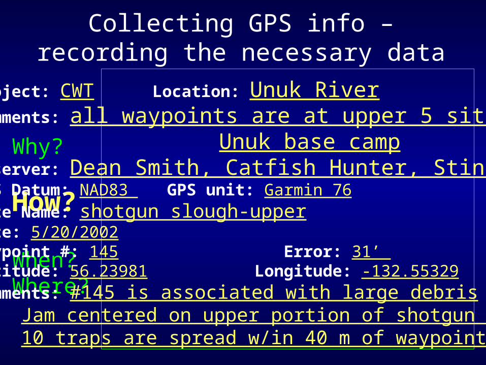
Why?
How?
When?Where?
Project: CWT Location: Unuk RiverComments: all waypoints are at upper 5 sites above Unuk base campObserver: Dean Smith, Catfish Hunter, StingGPS Datum: NAD83 GPS unit: Garmin 76Site Name: shotgun slough-upperDate: 5/20/2002 Waypoint #: 145 Error: 31’ Latitude: 56.23981 Longitude: -132.55329Comments: #145 is associated with large debris
Jam centered on upper portion of shotgun slough – 10 traps are spread w/in 40 m of waypoint
Collecting GPS info – recording the necessary data
Why?
How?
When?Where?
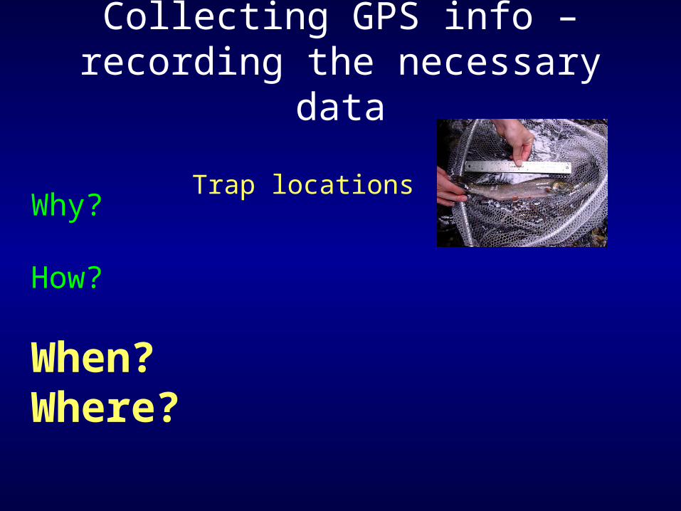
Trap locations
Collecting GPS info – recording the necessary data
Why?
How?
When?Where?
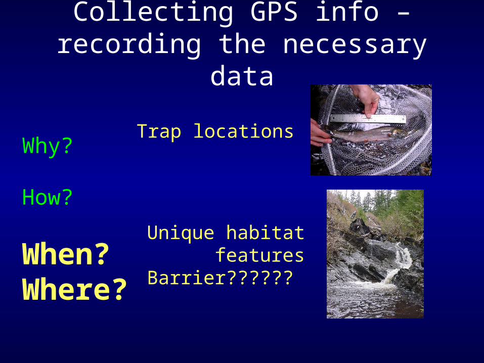
Trap locations
Unique habitat featuresBarrier??????
Collecting GPS info – recording the necessary data
Why?
How?
When?Where?
Collecting GPS info – recording the necessary data
Why?
How?
When?Where?
Collecting GPS info – recording the necessary data
Why?
How?
When?Where?
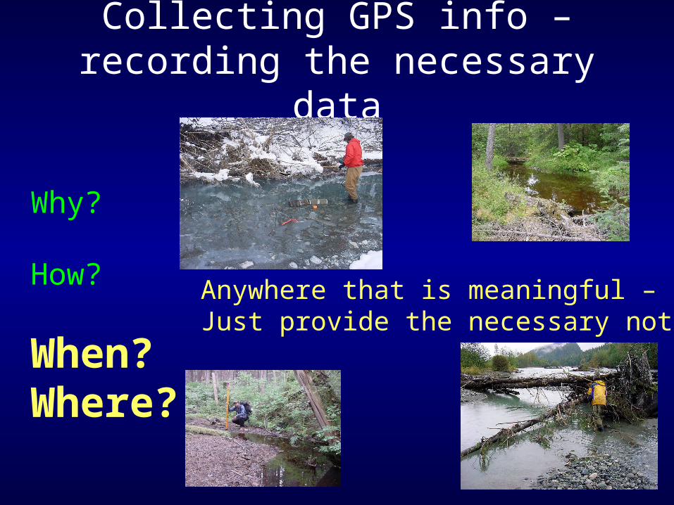
Collecting GPS info – recording the necessary data
Anywhere that is meaningful –Just provide the necessary notes!
Why?
How?
When?Where?
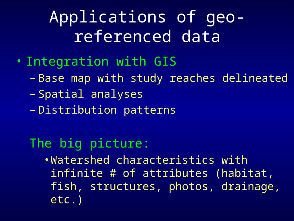
Applications of geo-referenced data
• Integration with GIS– Base map with study reaches delineated– Spatial analyses– Distribution patterns
The big picture:• Watershed characteristics with infinite # of
attributes (habitat, fish, structures, photos, drainage, etc.)
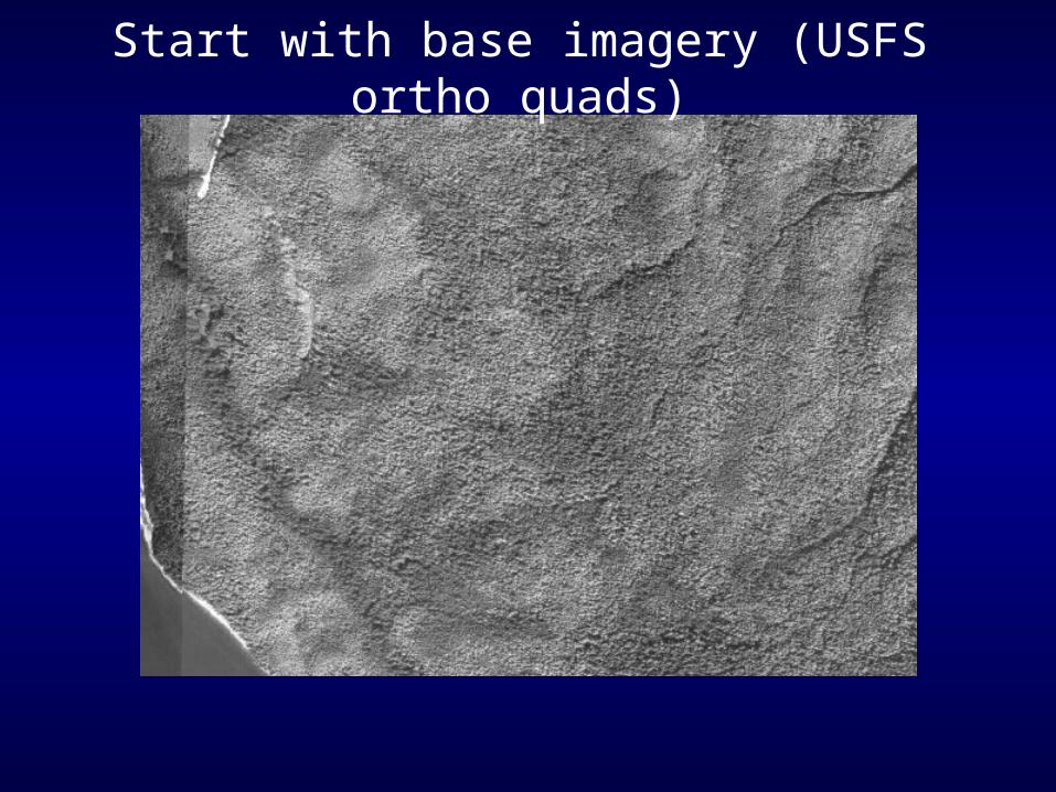
Start with base imagery (USFS ortho quads)
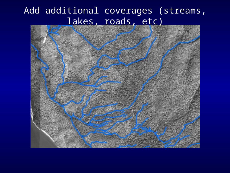
Add additional coverages (streams, lakes, roads, etc)
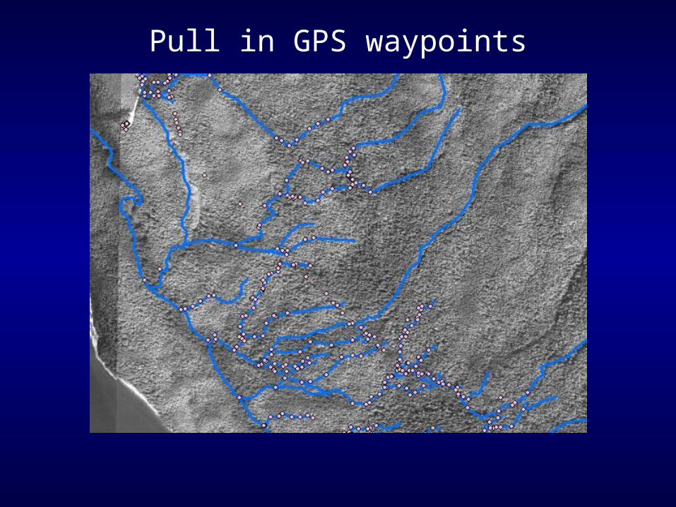
Pull in GPS waypoints
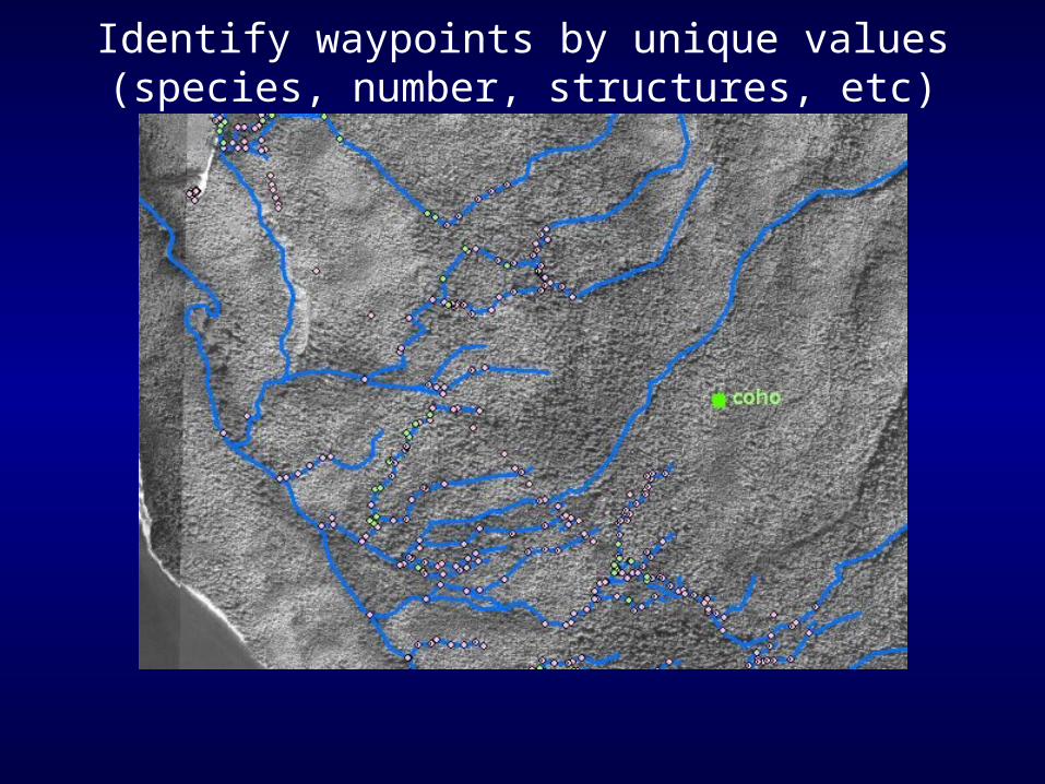
Identify waypoints by unique values (species, number, structures, etc)
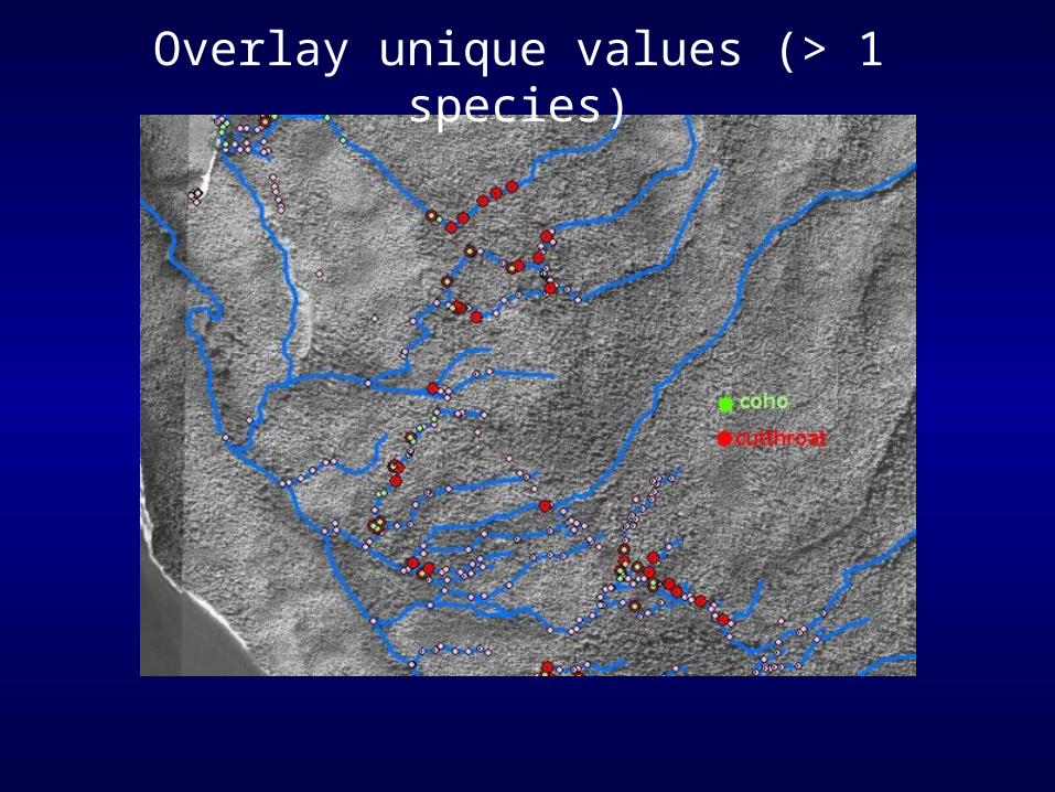
Overlay unique values (> 1 species)
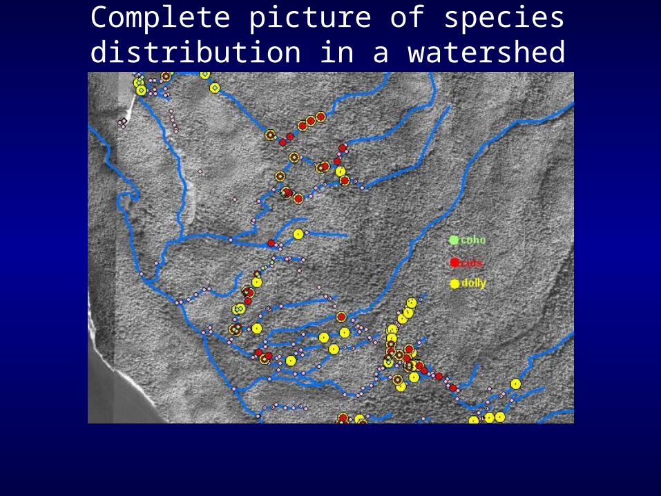
Complete picture of species distribution in a watershed
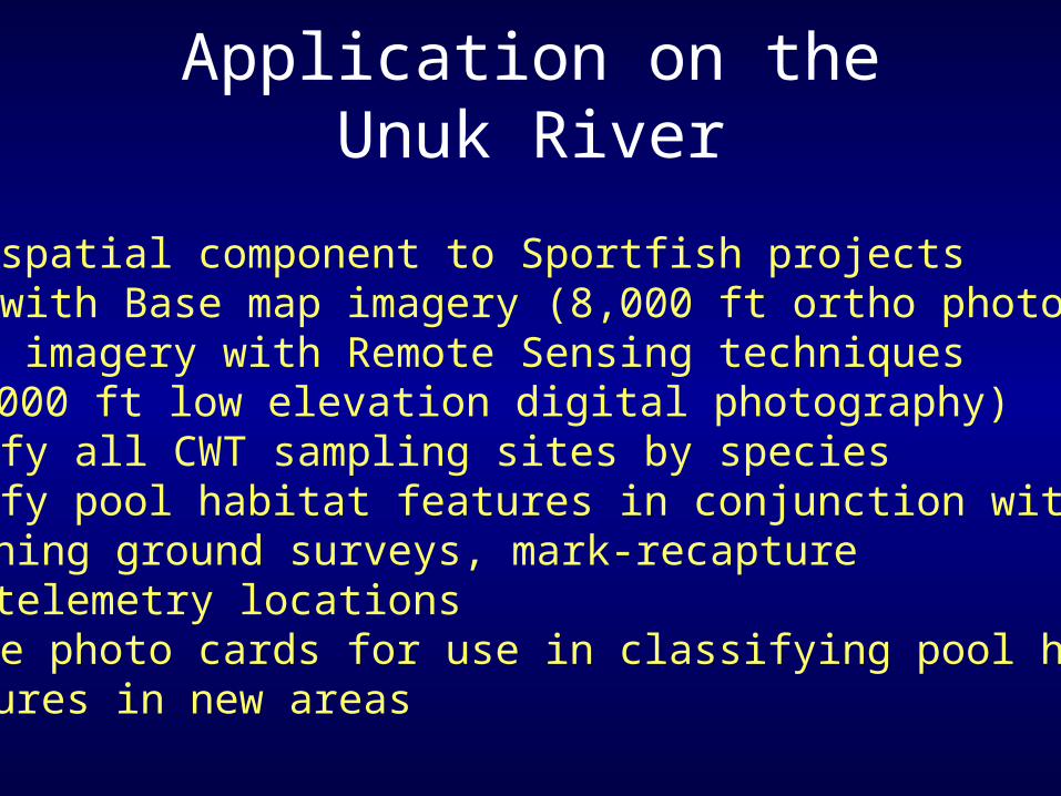
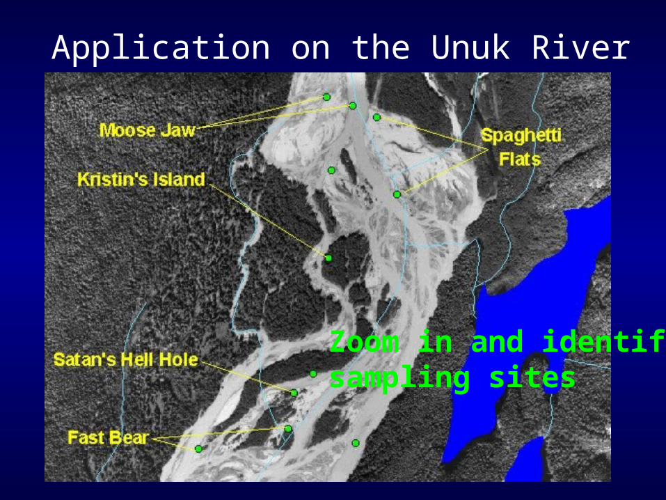
Application on the Unuk River
Add a spatial component to Sportfish projectsBegin with Base map imagery (8,000 ft ortho photos)Update imagery with Remote Sensing techniques
•(3-4000 ft low elevation digital photography)Identify all CWT sampling sites by speciesIdentify pool habitat features in conjunction with CWT, Spawning ground surveys, mark-recapture and telemetry locationsProduce photo cards for use in classifying pool habitat features in new areas
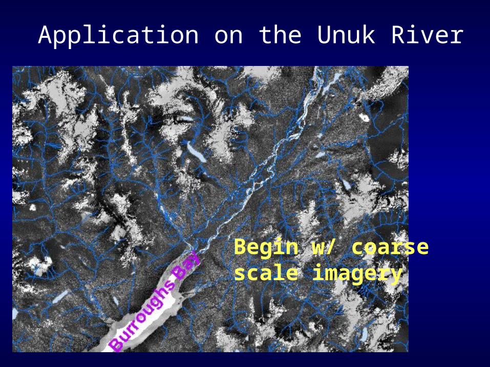
Application on the Unuk River
Begin w/ coarse scale imagery
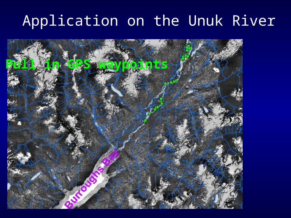
Application on the Unuk River
Pull in GPS waypoints
Application on the Unuk River
Zoom in and identifysampling sites
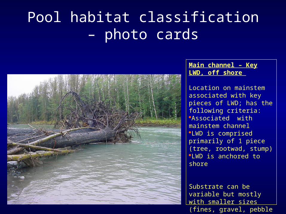
Main channel – Key LWD, off shore
Location on mainstem associated with key pieces of LWD; has the following criteria:Associated with mainstem channelLWD is comprised primarily of 1 piece (tree, rootwad, stump)LWD is anchored to shore
Substrate can be variable but mostly with smaller sizes (fines, gravel, pebble and cobble), especially on downstream side of LWD
Pool habitat classification – photo cards
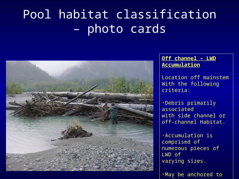
Off channel – LWDAccumulation
Location off mainstem With the following criteria:
•Debris primarily associatedwith side channel or off-channel Habitat.
•Accumulation is comprised ofnumerous pieces of LWD of varying sizes.
•May be anchored to sand barsor banks of side channel
Pool habitat classification – photo cards