Embed Size (px)
Citation preview

Global Earth Observationsand
Scripps Institutionof Oceanography
Charles F. KennelDirector
August 2004
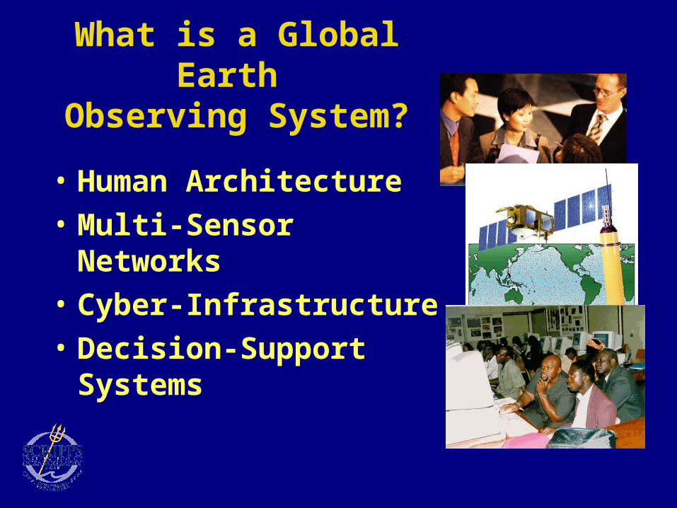
• Human Architecture
• Multi-Sensor Networks
• Cyber-Infrastructure
• Decision-Support Systems
What is a Global Earth Observing System?

Human Architecture: International Framework
• G-8 Summit, Evian France, June 2, 2003“ We will focus our efforts on … coordination of global observation strategies; …
• Earth Observation Summit, Washington, DC July 2003“We, … affirm the need for timely, quality, long-term, global information as a basis for sound decision making.”
• 48 countries members of GEO; 29 participating non-government organizations
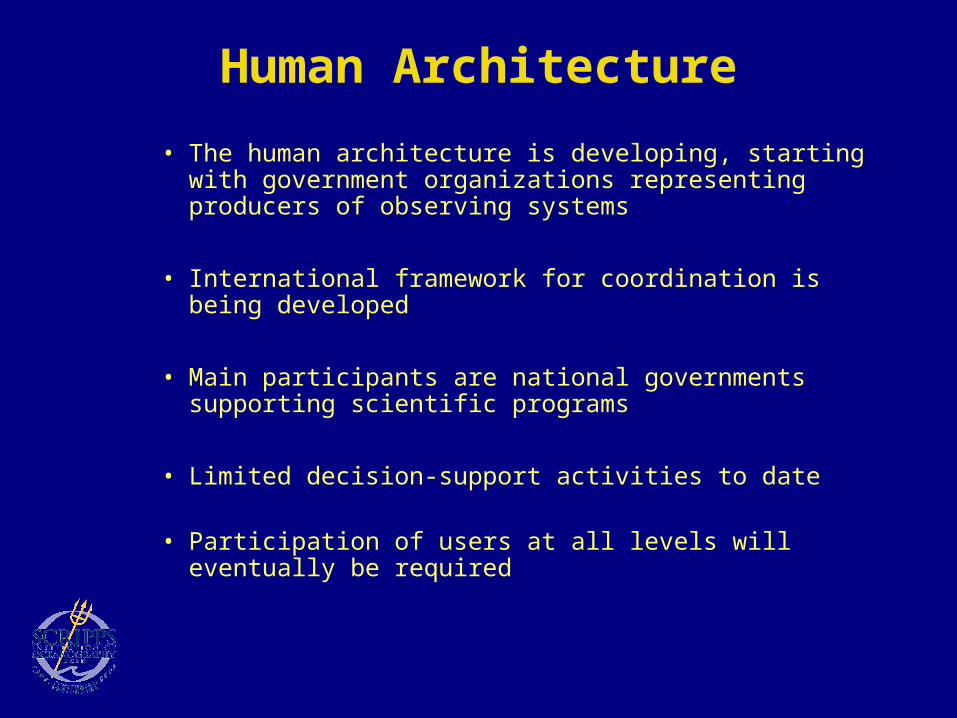
Human Architecture
• The human architecture is developing, starting with government organizations representing producers of observing systems
• International framework for coordination is being developed
• Main participants are national governments supporting scientific programs
• Limited decision-support activities to date
• Participation of users at all levels will eventually be required

Multi-Sensor NetworksToday
• Remotely sensed and in situ• Spacecraft, aircraft, UAVs,
ships, moorings, floats,• Radars, lidars, physical,
chemical and biological sensors…
• Oceans, atmosphere, land, ice• Global to regional to local
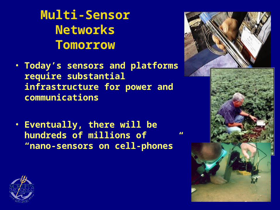
Multi-Sensor NetworksTomorrow
• Today’s sensors and platforms require substantial infrastructure for power and communications
• Eventually, there will be hundreds of millions of “nano-sensors on cell-phones”
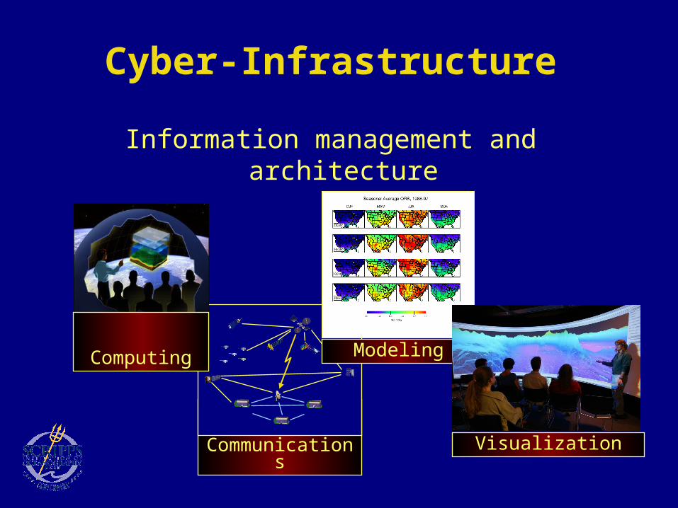
Cyber-Infrastructure
Information management and architecture
Communications
Computing Modeling
Visualization

Beyond Indicators to Decision-Support Tools
If we connect GEO to effective decision support systems, then it will become a principal tool for achieving sustainability on a global scale.
Photo credit: Global Spatial Data Infrastructure Project

The Internet:An Evolutionary Tale
• Phase 1: Early Internet (1970s) – Big servers and small number of clients– Government funded and controlled
• Phase 2: (late 1980s)– Distributed international network of largely scientific users
• Phase 3: Internet today– Hundreds of millions of users – Peer-to-peer– No centralized control– Use of a few powerful standards

Similar path for GEO?
• Phase 1: government operated networks between major installations
• Phase 2: distributed high-performance research network being established now
• Phase 3: work on miniaturization of sensors and distributed (Grid) computing; evolving to massive numbers of individual nodes

Human Architecture Needs to Evolve
• For the full array of environmental information– Phase 1: Government agencies in charge
• E.g., weather satellites, global weather models
– Phase 2: Large sophisticated scientific and technology users engaged
• Regional forecast centers tied to universities looking at climate as well as weather
– Phase 3: Broad user base with information products tailored to their needs and presented in their language
• Wide network of commercial value-added industries providing local forecasts for specific clients (frost warnings for citrus growers; snow forecasts for ski resorts; beach conditions, etc.)
New Management Concepts
• System of systems
• Multi-sector consortia
• Standards
• Interoperability
• Open communication
• Evolving, adaptive
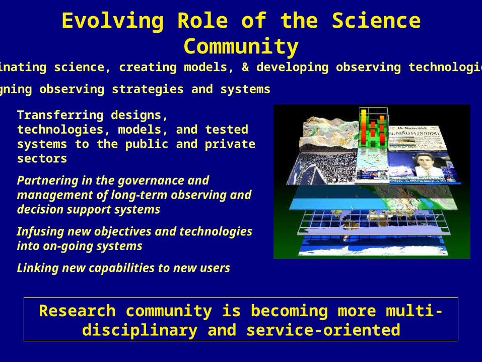
Evolving Role of the Science Community
Transferring designs, technologies, models, and tested systems to the public and private sectors
Partnering in the governance and management of long-term observing and decision support systems
Infusing new objectives and technologies into on-going systems
Linking new capabilities to new users
Research community is becoming more multi-disciplinary and service-oriented
Originating science, creating models, & developing observing technologies
Designing observing strategies and systems

Scripps Institution of Oceanography and GEO
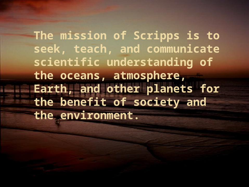
The mission of Scripps is to seek, teach, and communicate scientific understanding of the oceans, atmosphere, Earth, and other planets for the benefit of society and the environment.

Scripps is …
• The UCSD Graduate School of Marine Science, with substantial undergraduate teaching
• A unique institution with breadth and depth across all Earth sciences, within a major research university
• Involved in international projects with 300+ institutions in 65 countries
• Operating a $140 million annual budget; mostly individual research grants to individual investigators, awarded on a competitive basis
• Responsible for 4 research ships, one research platform, fleet of remotely operated vehicles (ROV) & autonomous underwater vehicles(AUV), one spacecraft, collections, world’s largest oceanographic library, Birch Aquarium, Visualization Center, labs, engineering, test facilities, observatories

Education Programs
PhD Concentrations Applied Ocean SciencesIntegrated Ocean Science
(Biological Oceanography& Marine Biology)Marine biodiversity & conservation
Climate SciencesGeological SciencesGeophysicsMarine Chemistry and GeochemistryPhysical Oceanography
Significant undergraduate (Bachelor) teachingEarth Science MajorEnvironmental Systems Major
Masters in Marine Biodiversity and Conservation

Basic research
• Basic research is a fundamental part of SIO’s mission
• We don’t know where curiosity-driven investigation will lead but we know it’s essential to progress
• Discovery for its own sake has value and contributes to society

Applied research
• Connecting with other disciplines – (e.g., economics, journalism, political
science, engineering, health sciences, information technology …)
Earth ObservationSummit, July 2003
California Energy Commission
• Connecting with public and non-profit sector –science-based decision support
• Connecting with the private sector –“triple bottom line” - economy, environment, and society

ObservationsShipsSatellitesMooringsSensorsWireless communications
ModelsTheoryApplications
End-to-End Research Capabilities
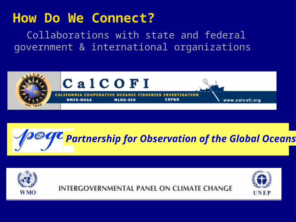
How Do We Connect? Collaborations with state and federal government &
international organizations
Partnership for Observation of the Global Oceans

Scripps’ roles in GEO
• System design• Sensor builder• Data producer• Value-added provider• Science user• Educator• Communicator• Government advisor• Advocate
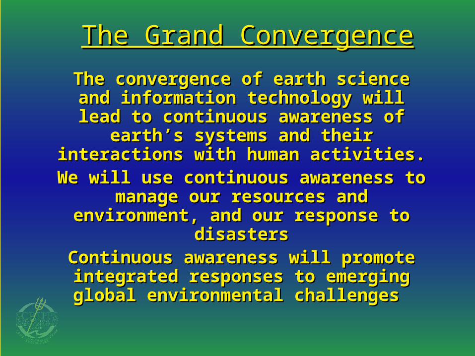
The Grand ConvergenceThe Grand Convergence
The convergence of earth science and The convergence of earth science and information technology will lead to information technology will lead to
continuous awareness of earth’s systems continuous awareness of earth’s systems and their interactions with human and their interactions with human
activities.activities.We will use continuous awareness to We will use continuous awareness to
manage our resources and environment, manage our resources and environment, and our response to disastersand our response to disasters
Continuous awareness will promote Continuous awareness will promote integrated responses to emerging global integrated responses to emerging global
environmental challenges environmental challenges

Conclusion
As civilization becomes increasingly global and technologically sophisticated, our need for a global observing capability will grow.
We are at the threshold of an endeavor that will span for the entire 21st century and beyond
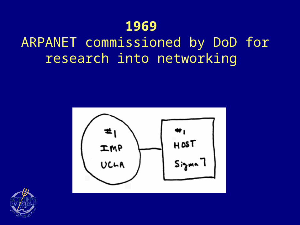
1969 ARPANET commissioned by DoD for
research into networking