Embed Size (px)
Citation preview
1
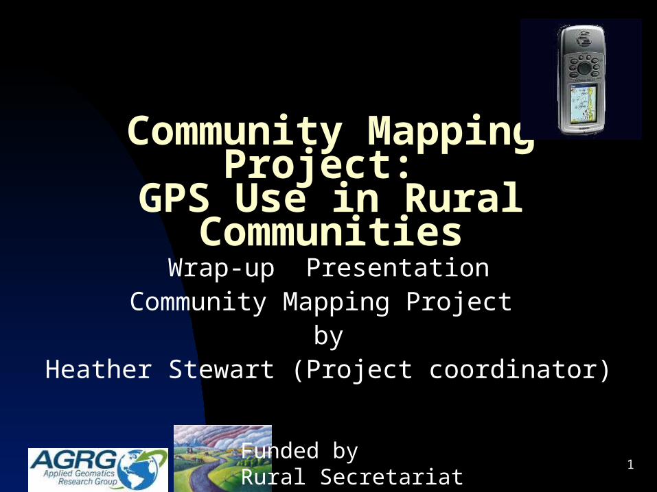
Community Mapping Project: GPS Use in Rural Communities
Wrap-up PresentationCommunity Mapping Project
byHeather Stewart (Project coordinator)
Funded by Rural Secretariat
2
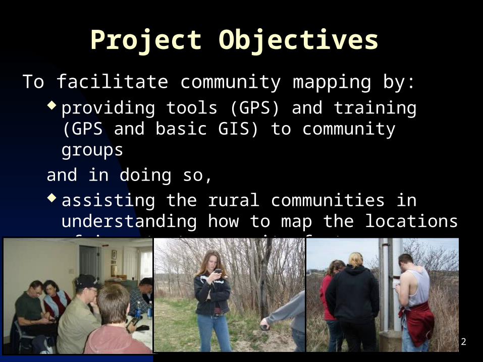
Project Objectives
To facilitate community mapping by: providing tools (GPS) and training (GPS and basic
GIS) to community groups
and in doing so, assisting the rural communities in understanding
how to map the locations of important community features
3
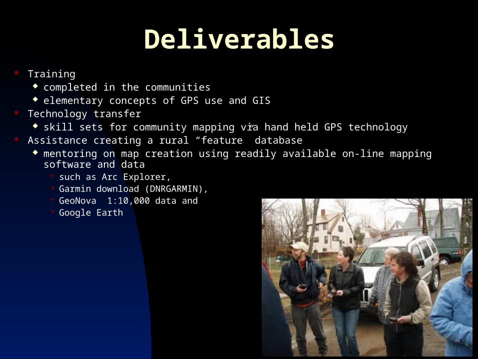
Deliverables Training
completed in the communities elementary concepts of GPS use and GIS
Technology transfer skill sets for community mapping via hand held GPS technology
Assistance creating a rural “feature” database mentoring on map creation using readily available on-line mapping software and
data such as Arc Explorer, Garmin download (DNRGARMIN), GeoNova 1:10,000 data and Google Earth
4
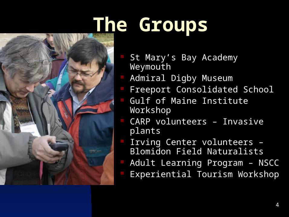
The Groups
St Mary’s Bay Academy Weymouth
Admiral Digby Museum Freeport Consolidated School Gulf of Maine Institute Workshop CARP volunteers – Invasive plants Irving Center volunteers –
Blomidon Field Naturalists Adult Learning Program – NSCC Experiential Tourism Workshop
5
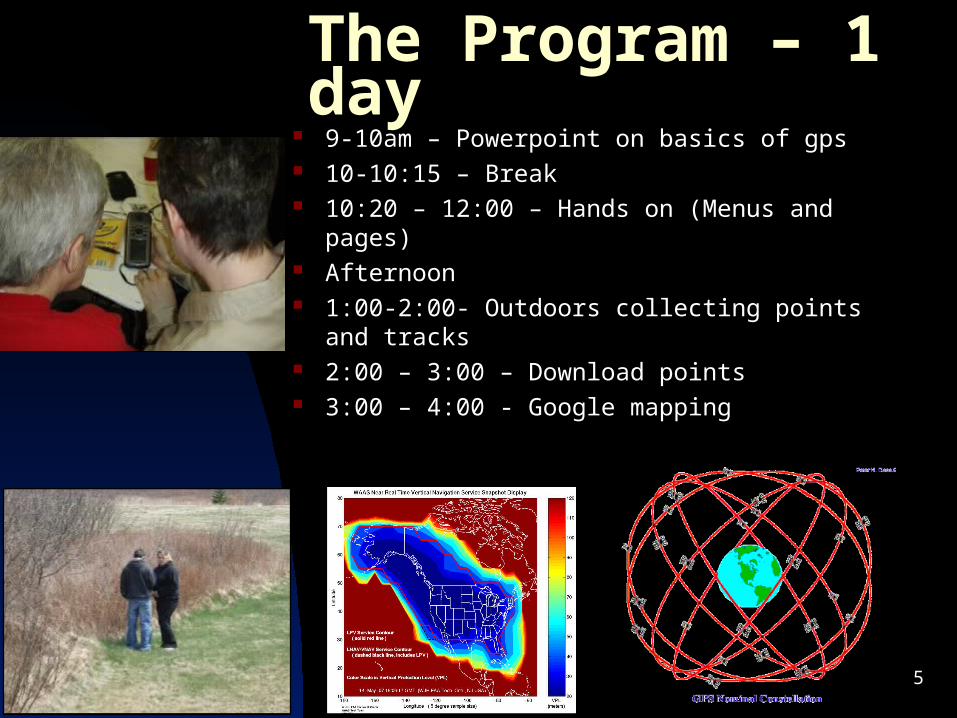
The Program – 1 day 9-10am – Powerpoint on basics of gps 10-10:15 – Break 10:20 – 12:00 – Hands on (Menus and pages) Afternoon 1:00-2:00- Outdoors collecting points and
tracks 2:00 – 3:00 – Download points 3:00 – 4:00 - Google mapping
6
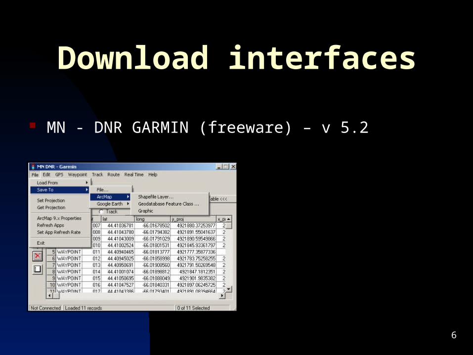
Download interfaces
MN - DNR GARMIN (freeware) – v 5.2
7
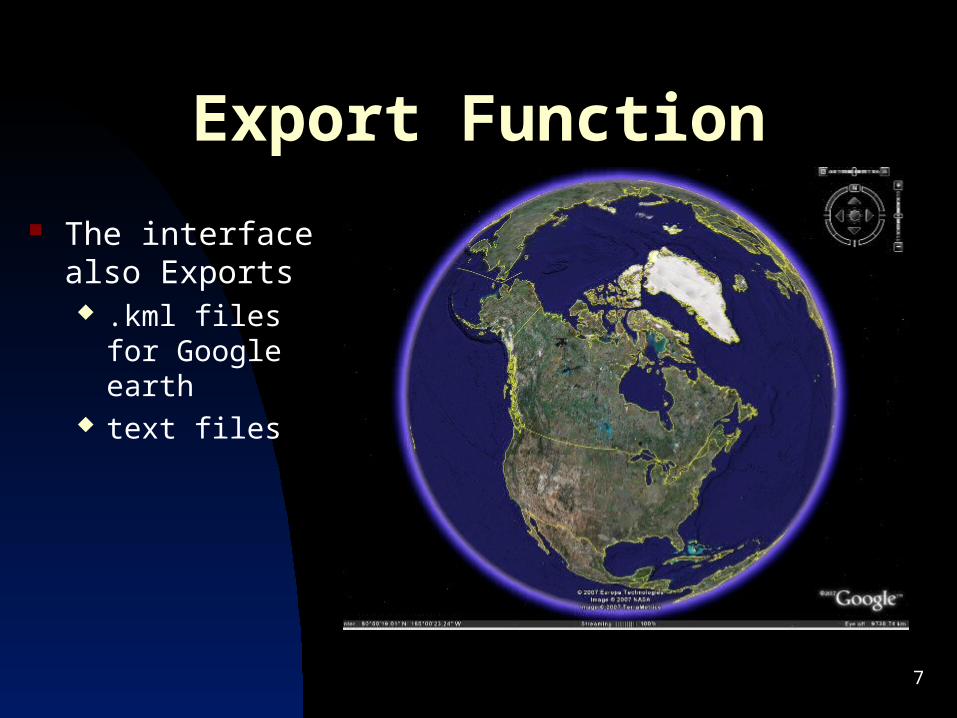
Export Function
The interface also Exports .kml files for
Google earth text files
8
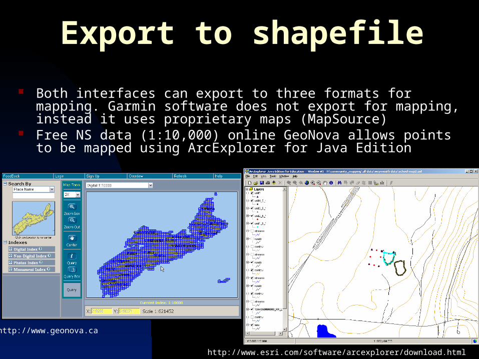
Export to shapefile
Both interfaces can export to three formats for mapping. Garmin software does not export for mapping, instead it uses proprietary maps (MapSource)
Free NS data (1:10,000) online GeoNova allows points to be mapped using ArcExplorer for Java Edition
http://www.geonova.ca
http://www.esri.com/software/arcexplorer/download.html
9
Creating a map – using Education versions
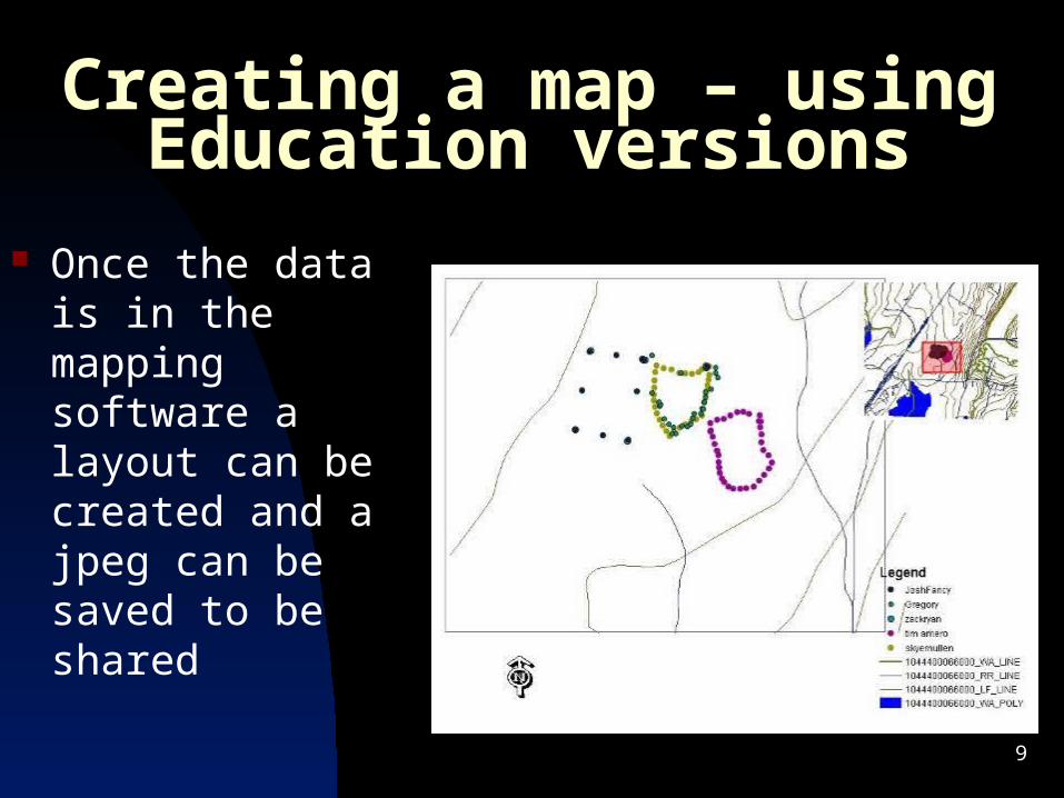
Once the data is in the mapping software a layout can be created and a jpeg can be saved to be shared
10
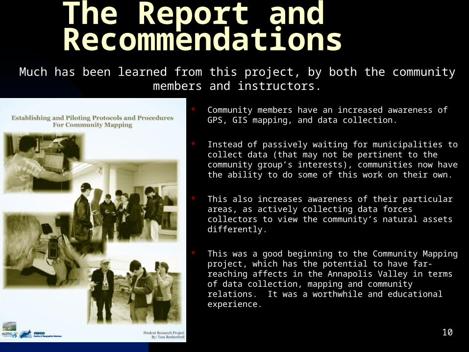
The Report and Recommendations
Community members have an increased awareness of GPS, GIS mapping, and data collection.
Instead of passively waiting for municipalities to collect data (that may not be pertinent to the community group’s interests), communities now have the ability to do some of this work on their own.
This also increases awareness of their particular areas, as actively collecting data forces collectors to view the community’s natural assets differently.
This was a good beginning to the Community Mapping project, which has the potential to have far-reaching affects in the Annapolis Valley in terms of data collection, mapping and community relations. It was a worthwhile and educational experience.
Much has been learned from this project, by both the community members and instructors.
11
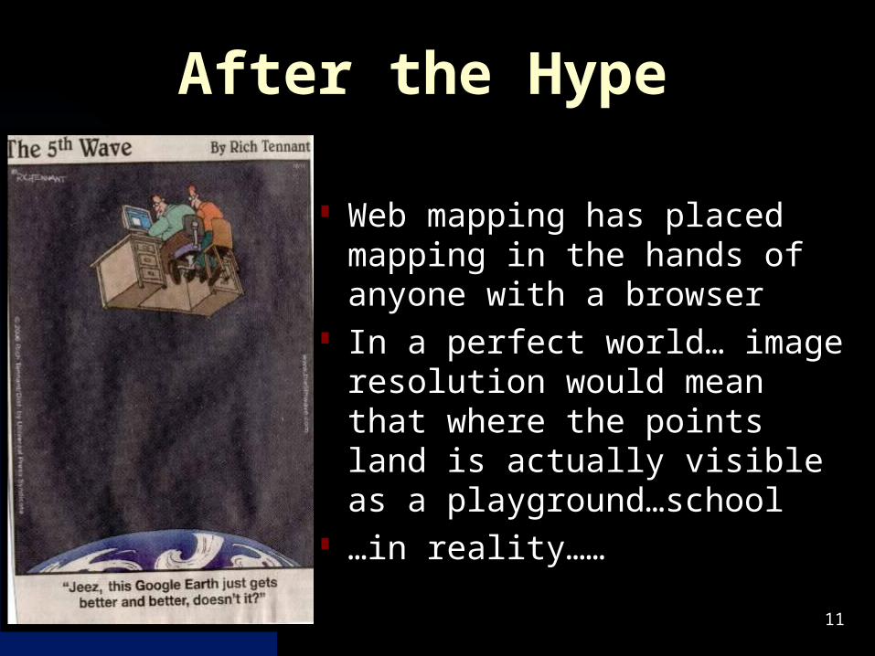
After the Hype
Web mapping has placed mapping in the hands of anyone with a browser
In a perfect world… image resolution would mean that where the points land is actually visible as a playground…school
…in reality……
12
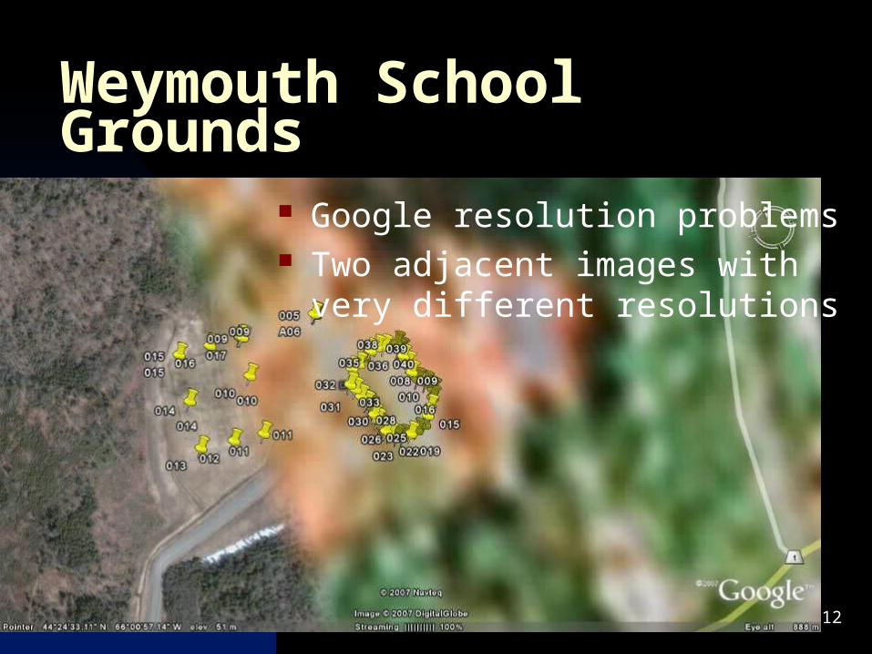
Weymouth School Grounds
Google resolution problems Two adjacent images with very
different resolutions
13
Acknowledgements
Ed Symonds – COGS planning instructor and collaborator Geomatics programming class and Roger Mosher Arthur Abbott - programmer Sheryl Stanton – Admiral Digby Museum, and volunteers Roger Outhouse – Discovery Center, teachers and
students at Freeport School Earl Manzer – Weymouth Waterfront Development,
students and teachers at St Marys Bay Academy