Embed Size (px)
Citation preview
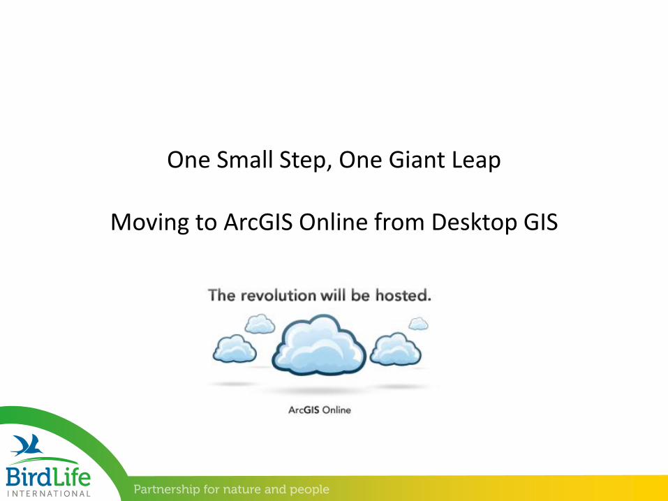
One Small Step, One Giant Leap
Moving to ArcGIS Online from Desktop GIS
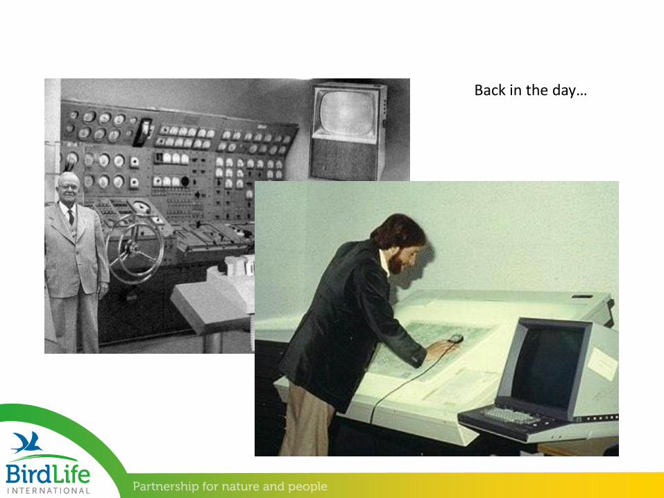
Back in the day…
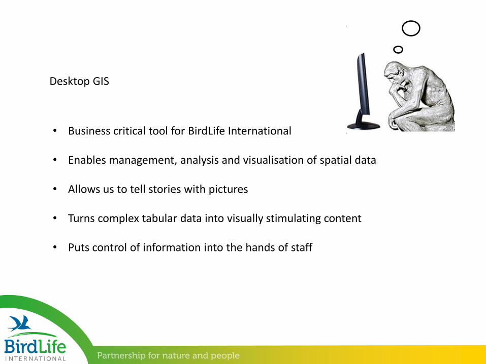
Desktop GIS
• Business critical tool for BirdLife International
• Enables management, analysis and visualisation of spatial data
• Allows us to tell stories with pictures
• Turns complex tabular data into visually stimulating content
• Puts control of information into the hands of staff
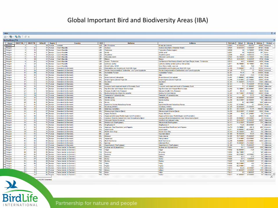
Global Important Bird and Biodiversity Areas (IBA)
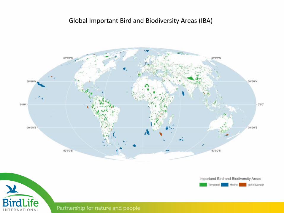
Global Important Bird and Biodiversity Areas (IBA)
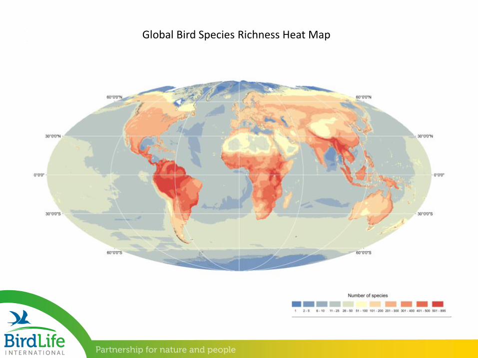
Global Bird Species Richness Heat Map
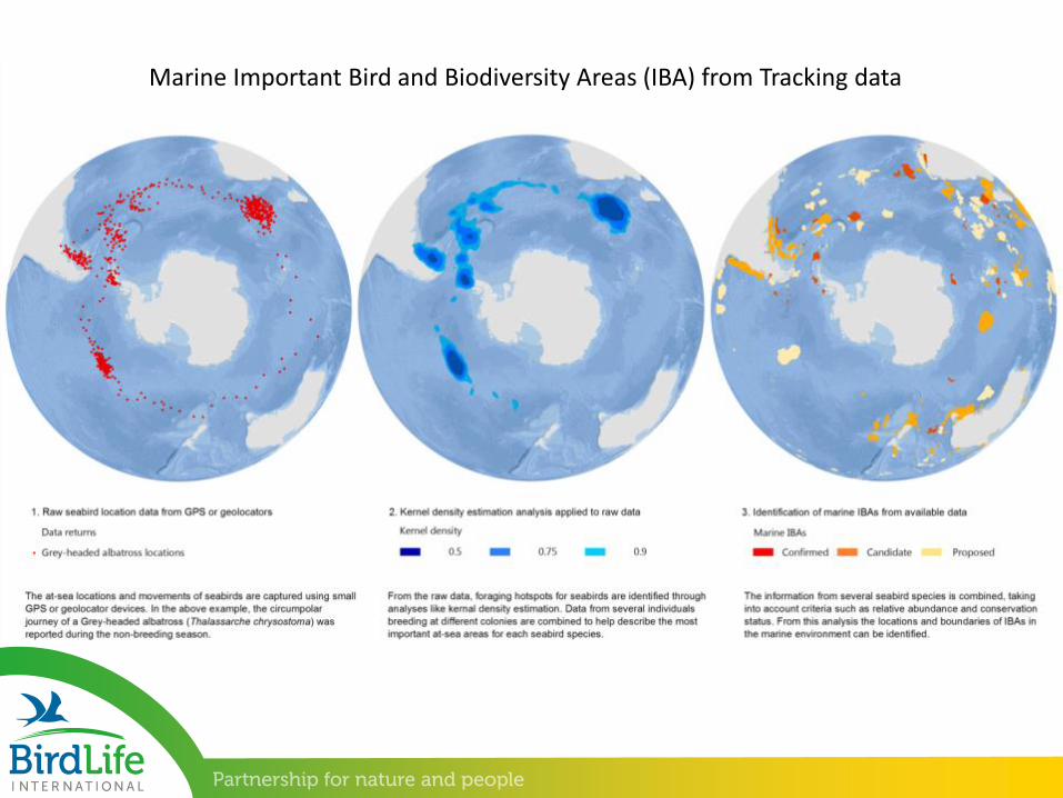
Marine Important Bird and Biodiversity Areas (IBA) from Tracking data
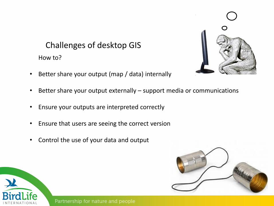
• Better share your output (map / data) internally
• Better share your output externally – support media or communications
• Ensure your outputs are interpreted correctly
• Ensure that users are seeing the correct version
• Control the use of your data and output
Challenges of desktop GIS
How to?
• Main BirdLife website – news, information, campaigns • http://www.birdlife.org/
• The Data Zone, our data sharing portal for species, sites, profiles etc. http://www.birdlife.org/datazone/home
• Custom map viewers for specific projects presenting data - MSB, Marine e-Atlas• http://maps.birdlife.org/MSBtool/• http://maps.birdlife.org/marineIBAs/default.html
• Joint corporate tools for viewing or querying data – IBAT• https://www.ibatforbusiness.org/login
• Specific data requests from external entities – Species or Site data
BirdLife’s online footprint
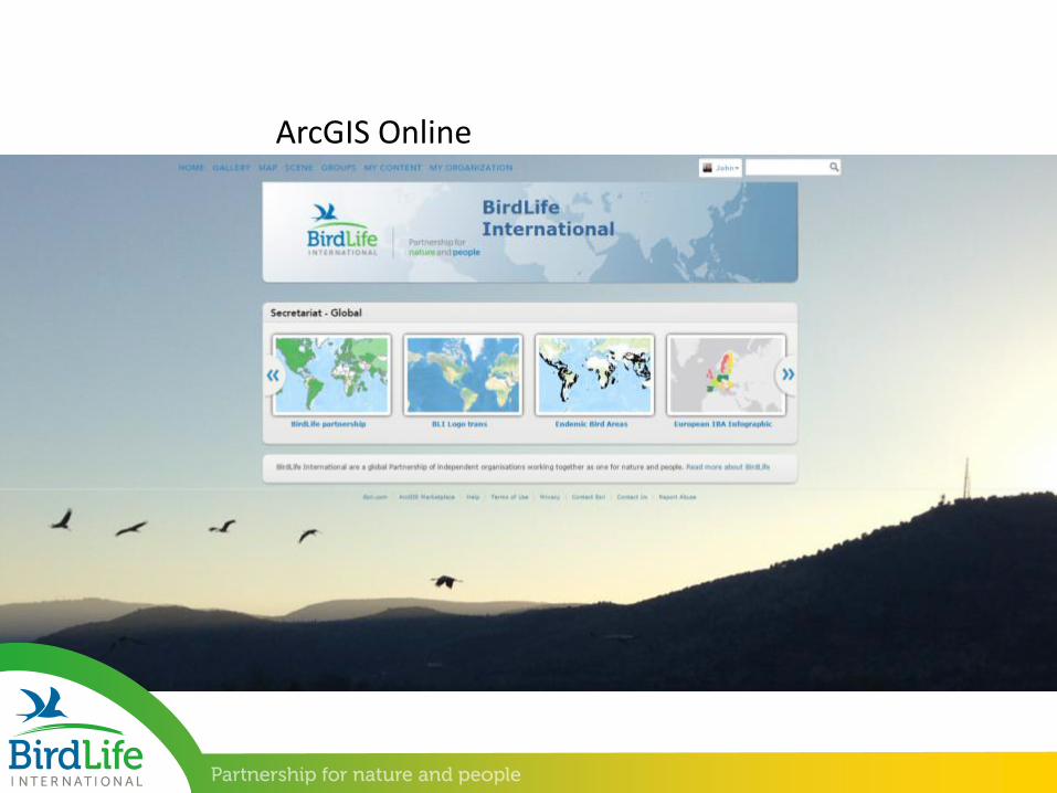
ArcGIS Online
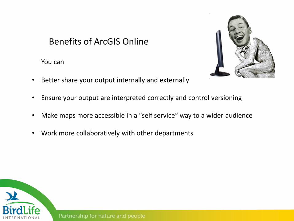
• Better share your output internally and externally
• Ensure your output are interpreted correctly and control versioning
• Make maps more accessible in a “self service” way to a wider audience
• Work more collaboratively with other departments
Benefits of ArcGIS Online
You can
• Increase the profile of your team
• Get GIS (and the work of your team) up the agenda as a useful corporate tool
• Stimulate and facilitate feedback on your output
• Motivate your team (and others) through your projects
Benefits of ArcGIS Online
And……
So How?
• Set the intention to make change
• Get the buy-in from your team and or department
• Seek the support of Esri for a “jumpstart” for your project
• Get your communications team on-board
• Formulate your ideas around a project
• Be persistent and get it done
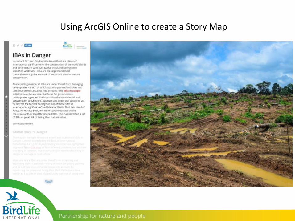
Using ArcGIS Online to create a Story Map
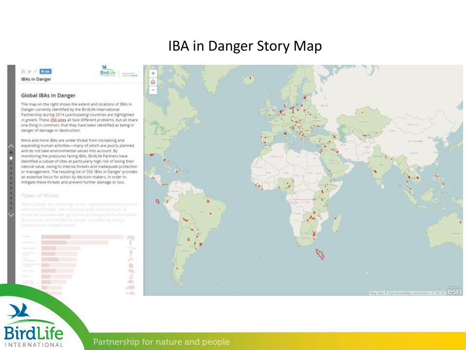
IBA in Danger Story Map
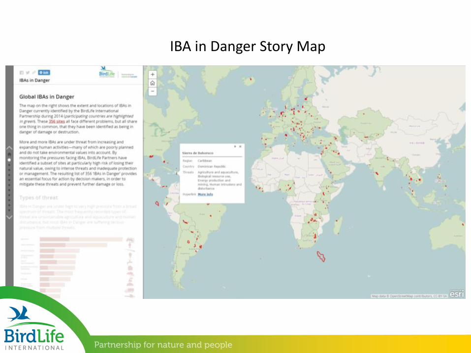
IBA in Danger Story Map
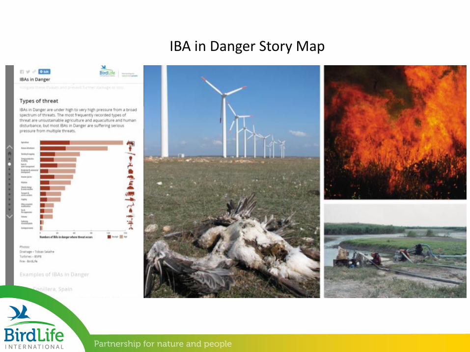
IBA in Danger Story Map
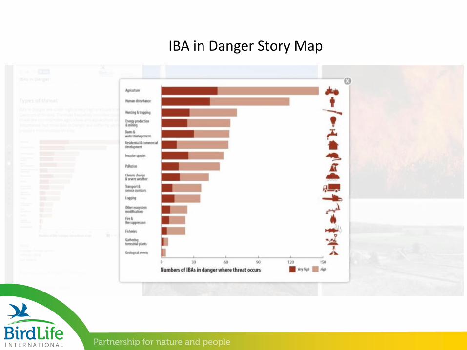
IBA in Danger Story Map

IBA in Danger Story Map
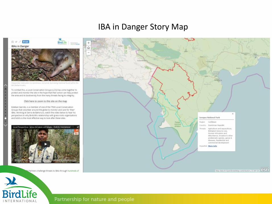
IBA in Danger Story Map


![[500DISTRO] Making Business Go BOOM: The 5 W's of B2B Content Marketing](https://img.pdfslide.us/doc/110x75/53f8b2338d7f729c2e8b47ce/500distro-making-business-go-boom-the-5-ws-of-b2b-content-marketing.jpg)