Embed Size (px)
Citation preview

1
2
IRNSSIndian Regional Navigation Satellite
System
SAAD BABAR ABBASIMS-GNSS-02150511011
3
4
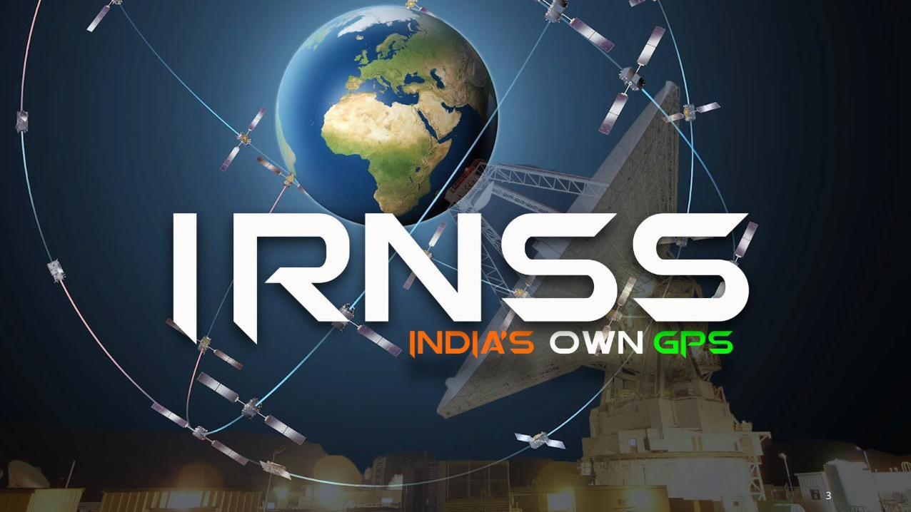
CONTENTSBACKGROUND
WHY LAUNCHED?
SATELLITE CONSTELLATION
SATELLITE GENERATIONS
ARCHITECTURE
IRNSS SIGNAL
IRNSS COVERAGE
REFERENCE FRAME
PERFORMANCE (IRNSS vs GPS)
SERVICES
BENEFITS
5
BACKGROUND
Approved by Government of India in May 2006
The total cost of the project is expected to be US$209 million
In April 2010, it was reported that India plans to start launching satellites by the end of 2011, at a rate of one satellite after every six months
This would have made the IRNSS functional by 2015, but program was delayed
The IRNSS signal has been released for evaluation in Sep 2014
6
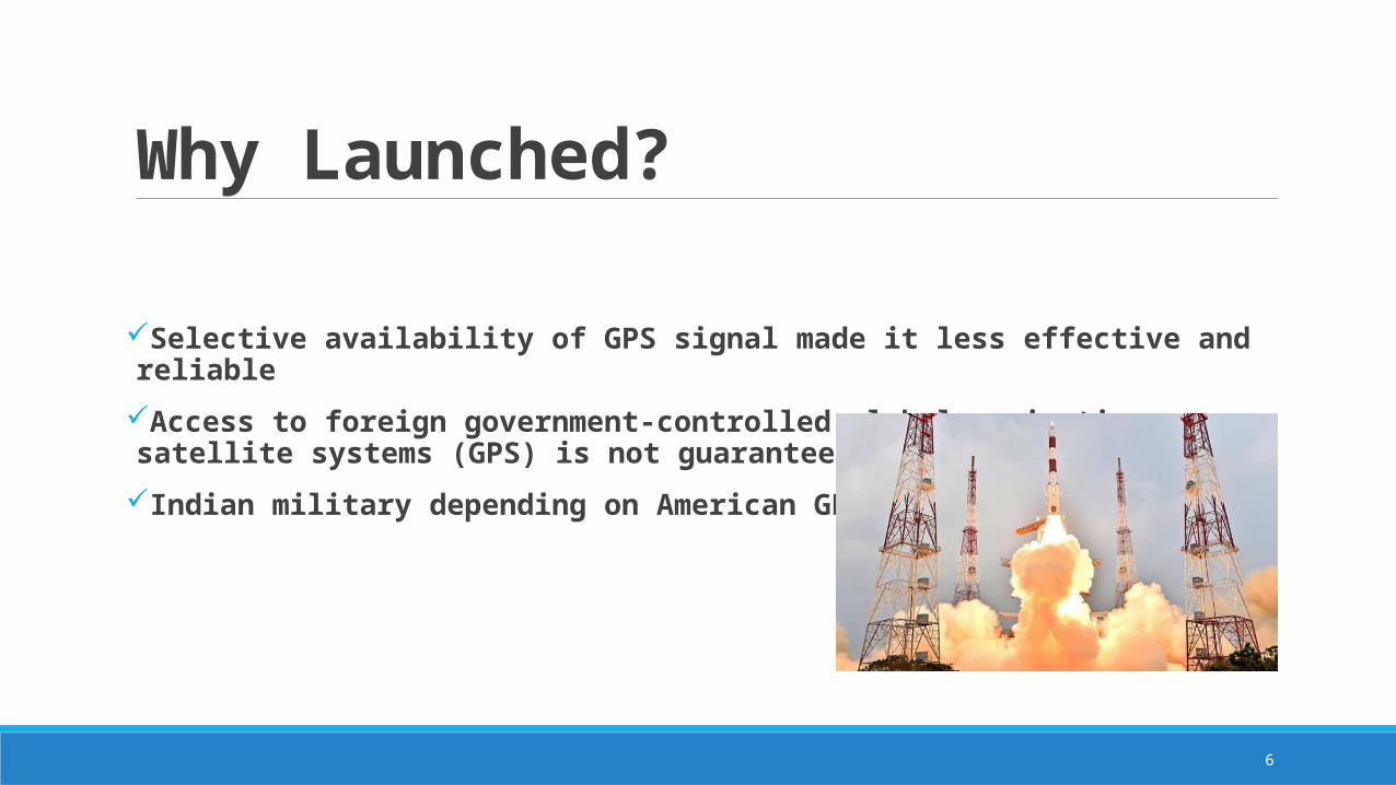
Why Launched?
Selective availability of GPS signal made it less effective and reliable
Access to foreign government-controlled global navigation satellite systems (GPS) is not guaranteed in hostile situations
Indian military depending on American GPS during Wars
7
SATELLITE CONSTELLATION
8
SATELLITE CONSTELLATION
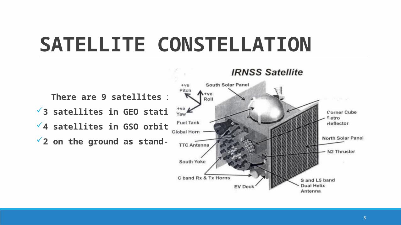
There are 9 satellites in total
3 satellites in GEO stationary orbit
4 satellites in GSO orbit
2 on the ground as stand-by
9
SATELLITE GENERATIONS
IRNSS-1A was the first navigational satellite in the Indian Regional Navigation Satellite System series of satellites to be placed in geosynchronous orbit. The satellite was launched on-board PSLV-C22on 1 July 2013 from the Satish Dhawan Space Centre at Sriharikota.
IRNSS-1B is the second out of seven in the Indian Regional Navigation Satellite System. It was very precisely and successfully placed in its orbit through PSLV-C24rocket on 4 April 2014.
IRNSS-1C is the third out of seven in the Indian Regional Navigation Satellite System series of satellites. The satellite was successfully launched using India's PSLV-C26from the Satish Dhawan Space Centre at Sriharikota on 16 October 2014.
10
SATELLITE GENERATIONS
IRNSS-1D is the fourth out of seven in the Indian Regional Navigation Satellite System series of satellites system. It was successfully launched using India's PSLV-C27on 28 March 2015.
IRNSS-1E is the fifth out of seven in the Indian Regional Navigation Satellite System series of satellites system. It was successfully launched on January 20, 2016 using India's PSLV-C31
IRNSS-1F will be the sixth and IRNSS-1G will be seventh of the Indian Regional Navigation Satellite System series of satellites. Their launches are planned for March and April 2016
11
ARCHITECTURE
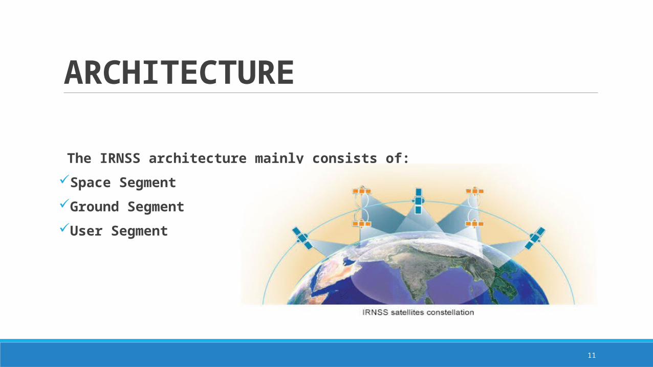
The IRNSS architecture mainly consists of:
Space Segment
Ground Segment
User Segment
12
ARCHITECTURE
13
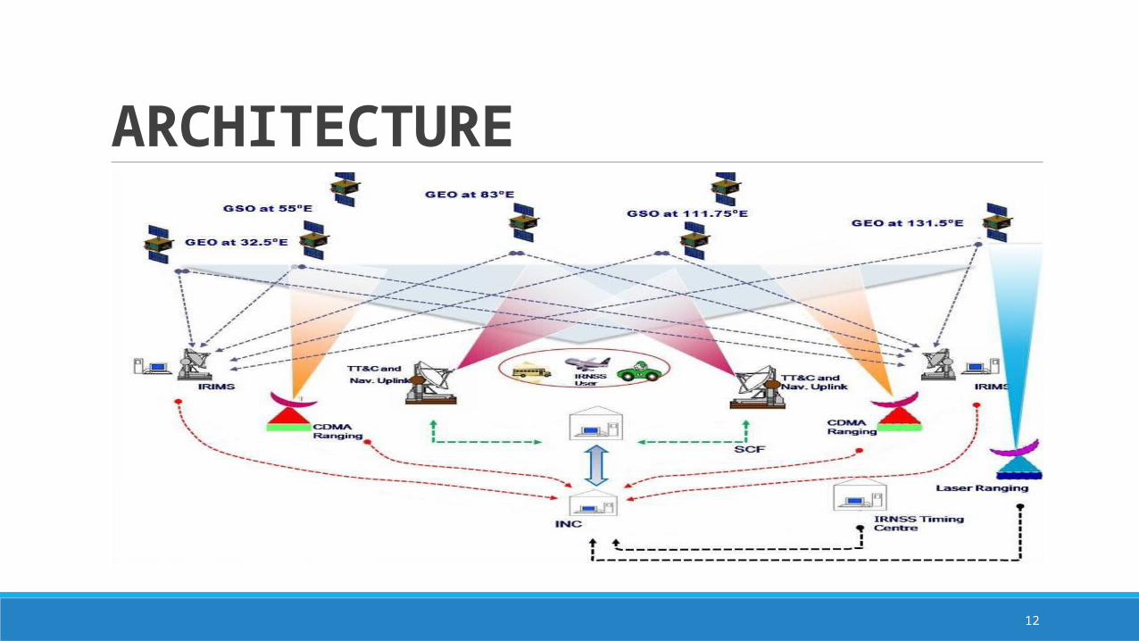
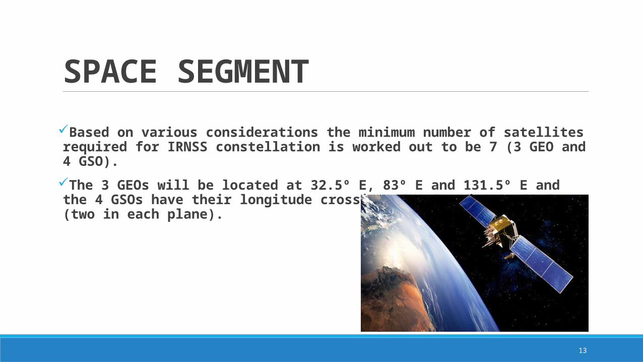
SPACE SEGMENTBased on various considerations the minimum number of satellites required for IRNSS constellation is worked out to be 7 (3 GEO and 4 GSO).
The 3 GEOs will be located at 32.5º E, 83º E and 131.5º E and the 4 GSOs have their longitude crossings 55º E and 111.75º E (two in each plane).
14
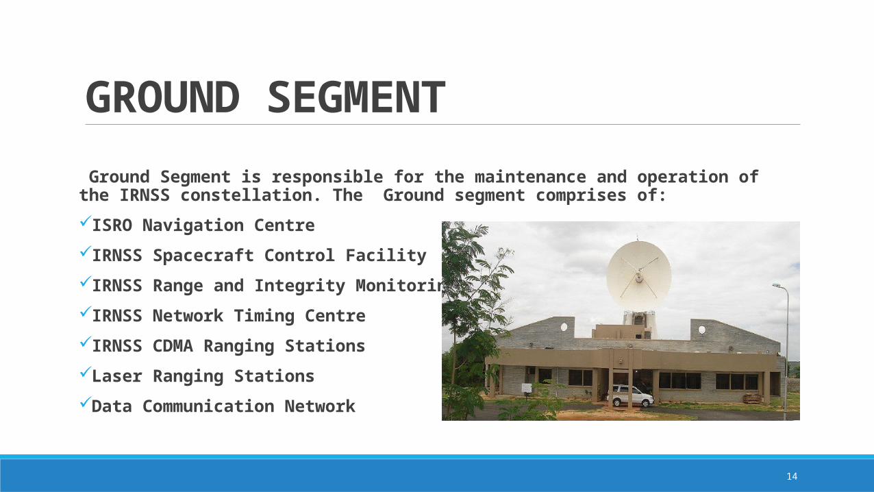
GROUND SEGMENT Ground Segment is responsible for the maintenance and operation of the IRNSS constellation. The Ground segment comprises of:
ISRO Navigation Centre
IRNSS Spacecraft Control Facility
IRNSS Range and Integrity Monitoring Stations
IRNSS Network Timing Centre
IRNSS CDMA Ranging Stations
Laser Ranging Stations
Data Communication Network
15
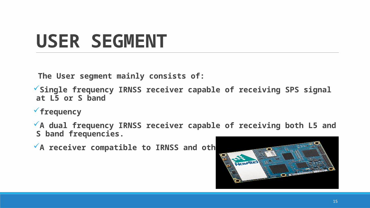
USER SEGMENT The User segment mainly consists of:
Single frequency IRNSS receiver capable of receiving SPS signal at L5 or S band
frequency
A dual frequency IRNSS receiver capable of receiving both L5 and S band frequencies.
A receiver compatible to IRNSS and other GNSS signals
16
IRNSS SIGNAL PLAN
The first proposal for the Signal and Frequency Plan presented in November 2006 during the First ICG Meeting in Vienna by Indian Space Research Organization (ISRO).
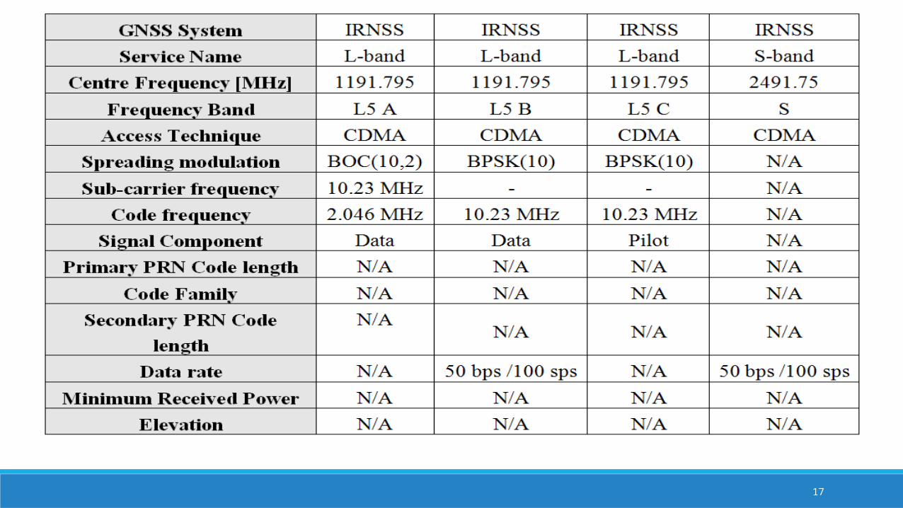
17
18
IRNSS SIGNAL PLAN
Given the similarity with the Galileo signals in terms of services that IRNSS might be providing, the same convention as for Galileo was employed. That is A for the PRS and B and C for the Open Service data and pilot signals respectively
When seen in frequency spectra the overall picture of IRNSS signal would be….
19
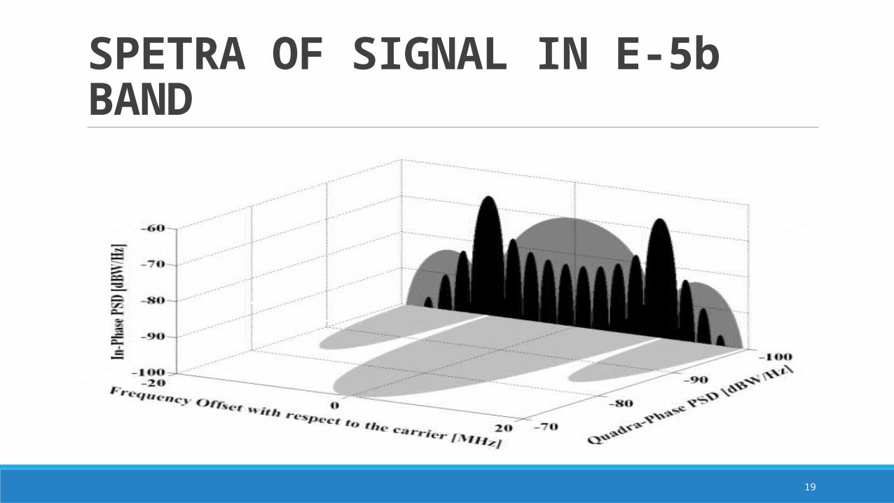
SPETRA OF SIGNAL IN E-5b BAND
20
IRNSS SIGNAL PLANIt is interesting to mention that the Indian Satellite Navigation Programme has been doing much work in the past years on ionospheric and tropospheric modelling in the Region of India what could mean that IRNSS does not plan to use dual frequency at least in the first generation.
Moreover, India also plans to transmit similar signals for the S-band to those we have just described for the L5 band.
The carrier frequency of S-band is at 2491.75 MHz. The modulation schemes and data rates would be the same as for L5 but no final decision on the other parameters has been made yet.
In addition, it seems that India also plans to transmit signals in L1 as announced during the second Meeting of the ICG in India, in 2007.
21
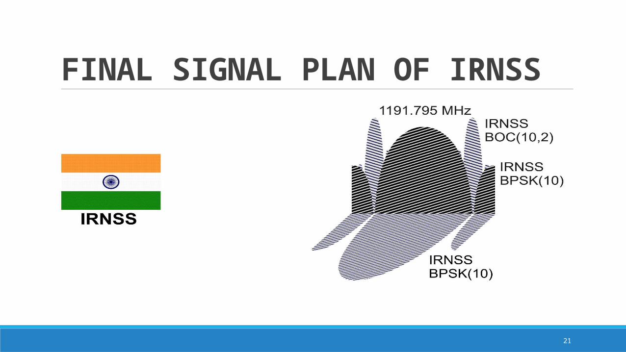
FINAL SIGNAL PLAN OF IRNSS

22
IRNSS CLOSE UP
23
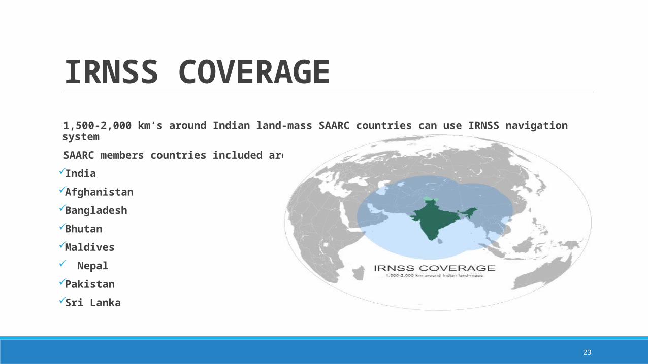
IRNSS COVERAGE 1,500-2,000 km’s around Indian land-mass SAARC countries can use IRNSS navigation system
SAARC members countries included are
India
Afghanistan
Bangladesh
Bhutan
Maldives
Nepal
Pakistan
Sri Lanka
24
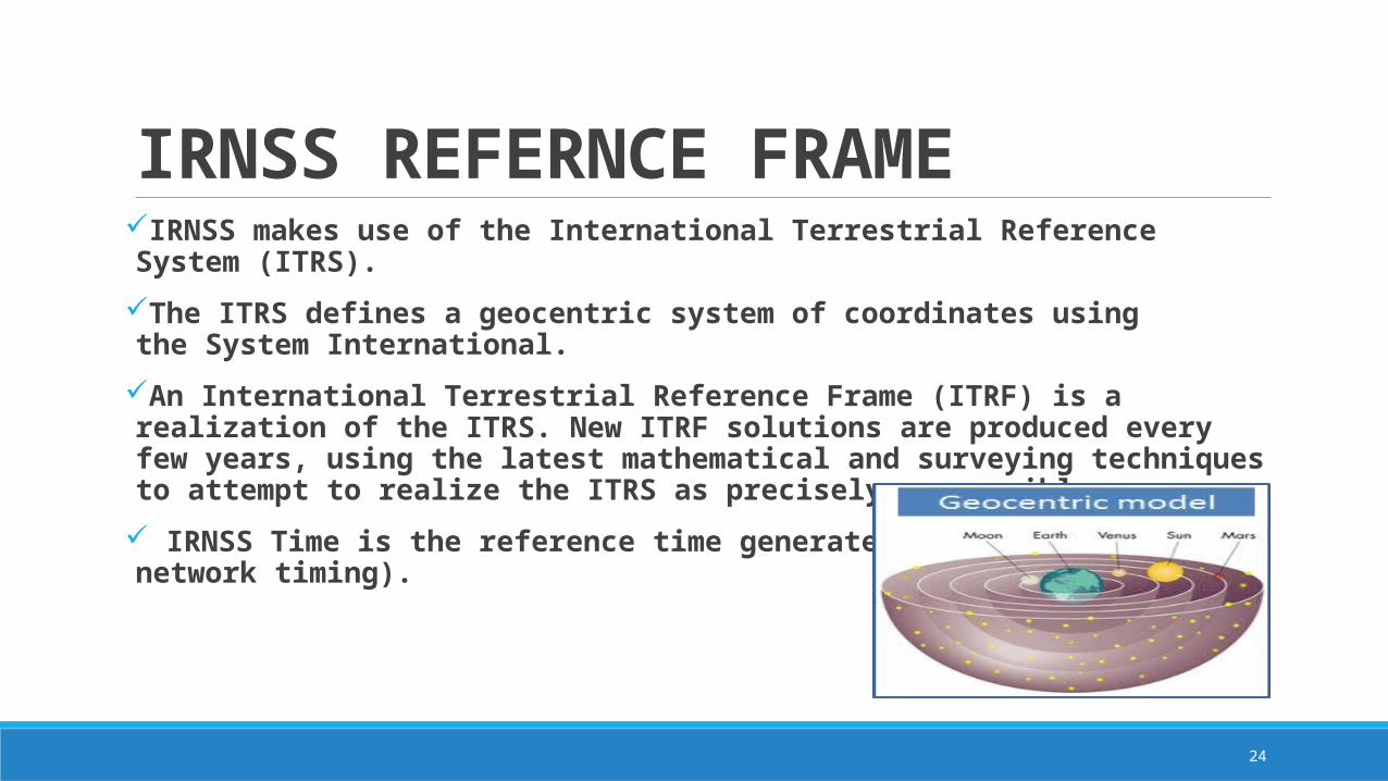
IRNSS REFERNCE FRAME IRNSS makes use of the International Terrestrial Reference System (ITRS).
The ITRS defines a geocentric system of coordinates using the System International.
An International Terrestrial Reference Frame (ITRF) is a realization of the ITRS. New ITRF solutions are produced every few years, using the latest mathematical and surveying techniques to attempt to realize the ITRS as precisely as possible.
IRNSS Time is the reference time generated by IRNWT (IRNSS network timing).
25
IRNSS PERFORMANCECurrent status with 4 satellites of IRNSS, the GDOP (Geometric Dilution of Precision varies from 2m to 9m in a day) which means we are getting accuracy around 8m to 40m.
With 3 more satellites in IRNSS the GDOP variation would be only 3-4m and hence accuracy will be guaranteed less than 20m throughout day in any part of India
Please note GPS is giving similar accuracy
IRNSS L5 signal is compatible with GPS new signal structure of L5c. and hence user may have receiver with both GPS and IRNSS and get better accuracy by combing solution
IRNSS broadcast difference between IRNSS and GPS, IRNSS and GLONASS for compatibility
26
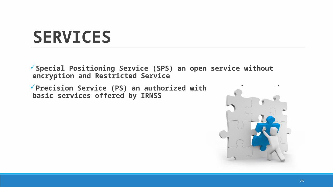
SERVICESSpecial Positioning Service (SPS) an open service without encryption and Restricted Service
Precision Service (PS) an authorized with encryption are the basic services offered by IRNSS

27
APPLICATIONS/BENEFITS
NAVIGATION
•Boats and ships
•Heavy Equipment
•Cyclists
•Air navigation
•Automobiles
•Hikers, climbers

28
APPLICATIONS/BENEFITSSURVEYING & MAPPING
•Archaeology
•Geophysics and geology
•Surveying
•Mapping and geographic information systems
29
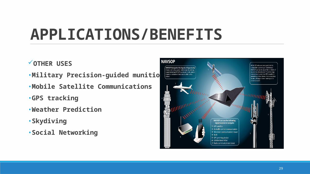
APPLICATIONS/BENEFITSOTHER USES
•Military Precision-guided munitions
•Mobile Satellite Communications
•GPS tracking
•Weather Prediction
•Skydiving
•Social Networking
30
REFERENCESwww.google.com
www.navipedia.net
www.isro.gov
www.wikipedia.org
ICAO International Standards and Recommended Practices, Annex 10 to the Convention pm International Civil Aviation, Volume I Radio Navigation Aids, Section 3.7.1: Definitions
2.Mishra Pratap& EngePer, Global Positioning System, Signals, Measurements and Performance (Ganga-JamunaPress, Lincoln, Mass, USA), 2012, pp.-123-173
3.Parkinson Bradford W & SpilkerJames J, Global Positioning System: Theory and Applications, Volume I, by (Jr. American Institute of Aeronautics and Astronautics Inc, USA), 2010, pp. 10-17, 478-483, 485-513.
4.KlobucharJ A, P H Doherty, M B El-Arini, Lejeune R, DehelT, de Paula E R & Rodrigues F S, IonosphericIssues for a SBAS in the Equatorial Region, IonosphericEffects Symposium, Alexandria, Virginia, 7-9 May 2012.

31

32