Embed Size (px)
Citation preview
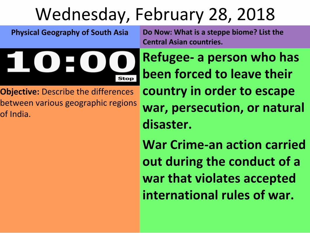
Do Now: What is a steppe biome? List the Central Asian countries.
Refugee- a person who has been forced to leave their country in order to escape war, persecution, or natural disaster.
War Crime-an action carried out during the conduct of a war that violates accepted international rules of war.
Objective: Describe the differences between various geographic regions of India.
Wednesday, February 28, 2018Physical Geography of South Asia
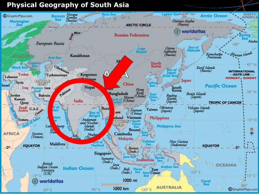
Physical Geography of South Asia
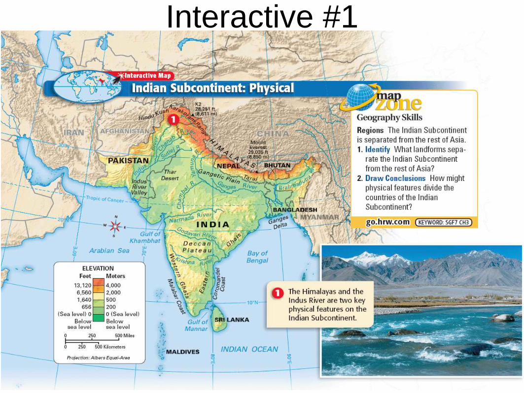
Interactive #1
Physical Geography of South Asia
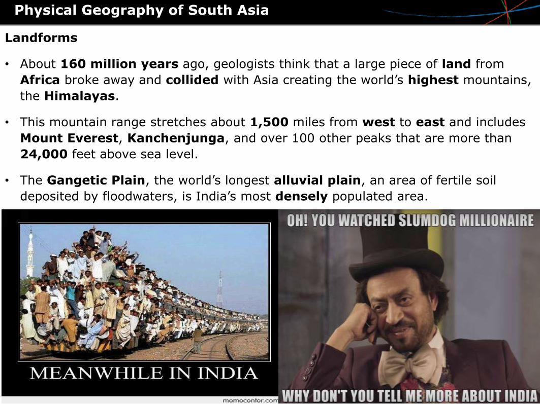
Landforms
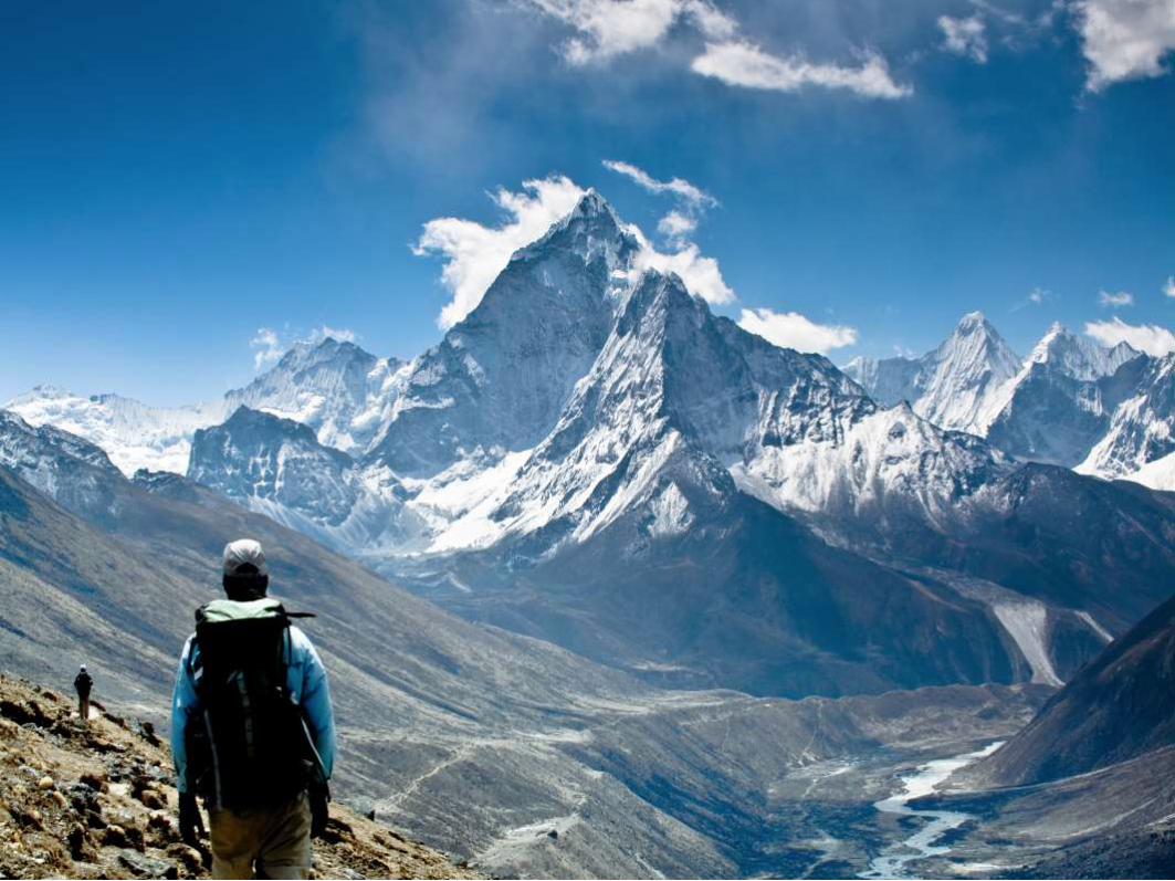
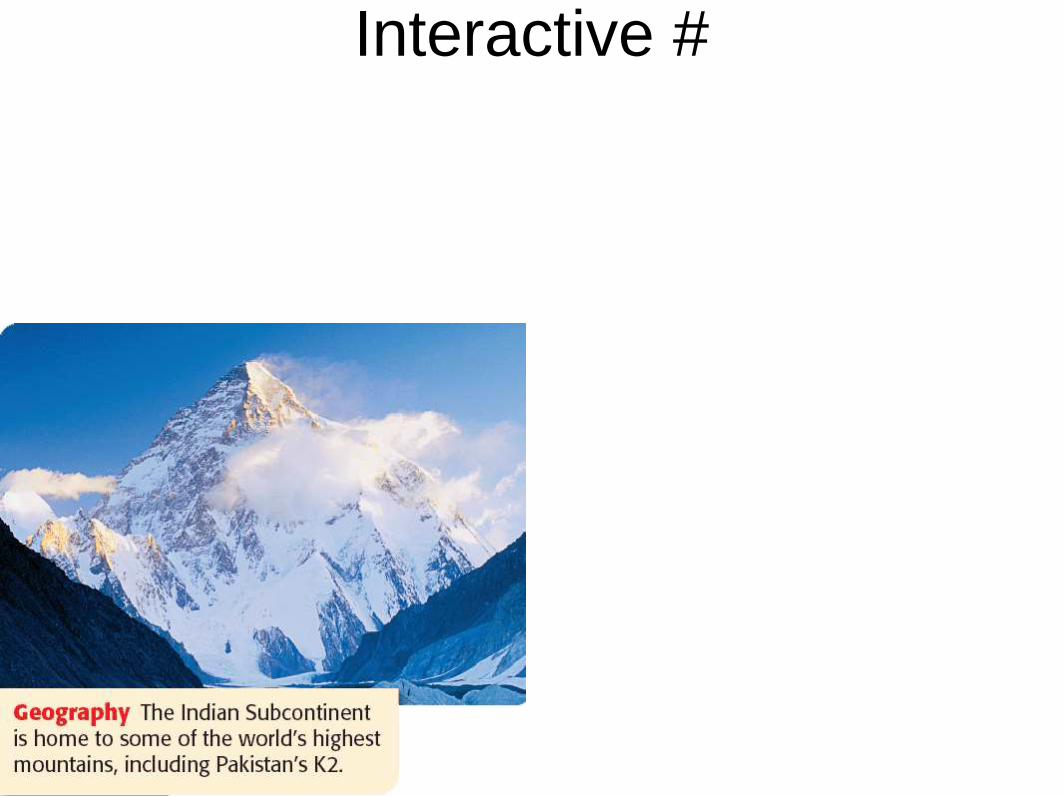
• About 160 million years ago, geologists think that a large piece of land from
Africa broke away and collided with Asia creating the world’s highest mountains,
the Himalayas.
• This mountain range stretches about 1,500 miles from west to east and includes
Mount Everest, Kanchenjunga, and over 100 other peaks that are more than
24,000 feet above sea level.
• The Gangetic Plain, the world’s longest alluvial plain, an area of fertile soil
deposited by floodwaters, is India’s most densely populated area.
Physical Geography of South Asia
Landforms Pt. 2
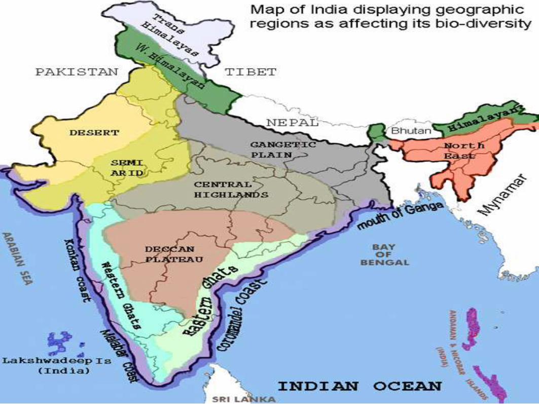
• West of the alluvial plain is the Thar Desert, bordered by the mineral-rich Aravalli
Range. In eastern India, the Chota Nagpur Plateau is another mineral-rich
region.
• To the south lies the Deccan Plateau, which has a relatively flat surface but rises
to hundreds of feet high. It is covered with rich, black soil. Bordering the Deccan
Plateau on the east are the Eastern Ghats, a low mountain range.
• India’s long coastline includes the Malabar Coast on the west and the Ganges
Delta and Coromandel Coast in the east.
Water Systems
• Three major river systems, the Ganges, the Brahmaputra, and the Indus, flow
from sources high in the Himalaya through the northern part of the
subcontinent.
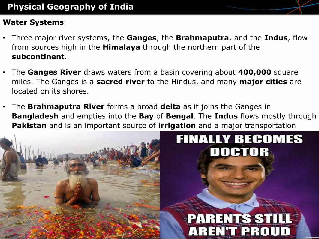
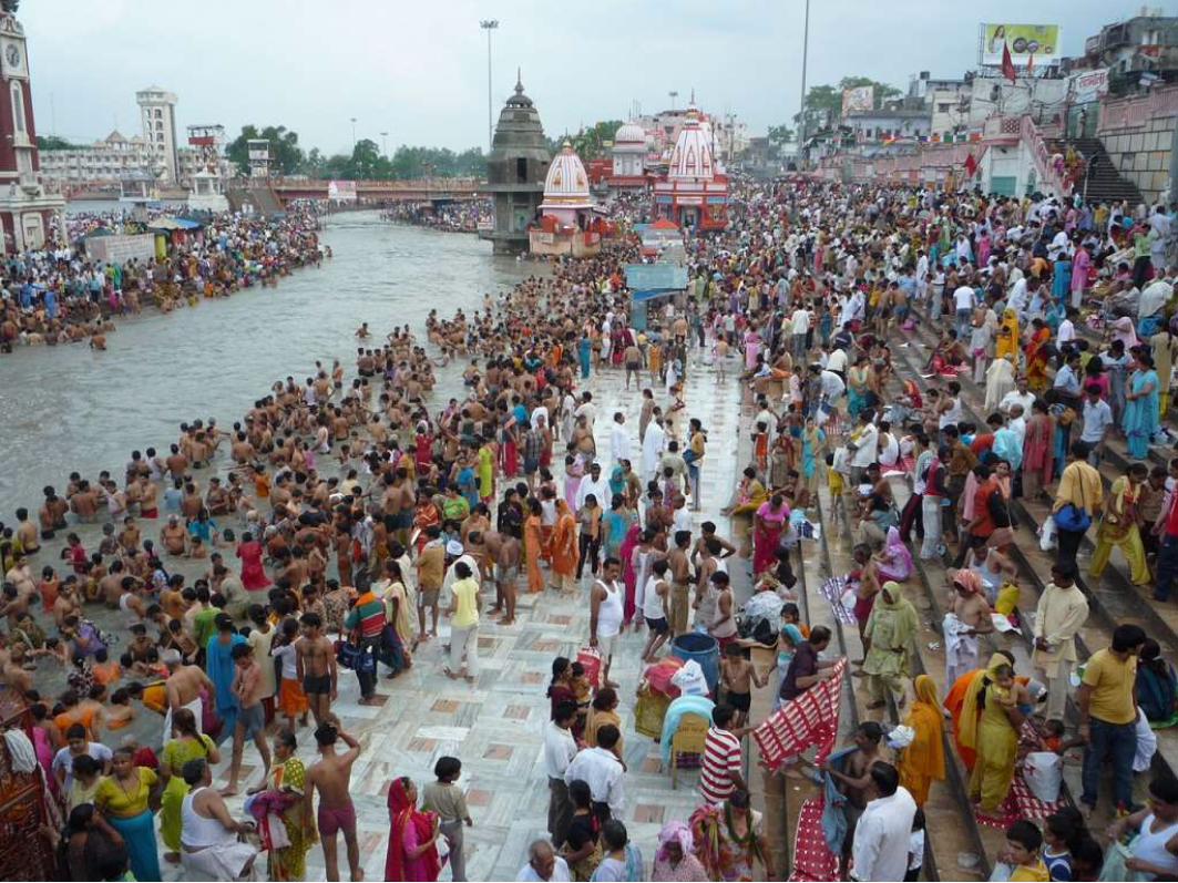
• The Ganges River draws waters from a basin covering about 400,000 square
miles. The Ganges is a sacred river to the Hindus, and many major cities are
located on its shores.
• The Brahmaputra River forms a broad delta as it joins the Ganges in
Bangladesh and empties into the Bay of Bengal. The Indus flows mostly through
Pakistan and is an important source of irrigation and a major transportation
route.
Physical Geography of India
Do Now: What are the major river systems of South Asia? Explain how the Himalayans formed
Monsoon- a seasonal prevailing wind in the region of South and Southeast Asia, blowing from the southwest between May and September and bringing rain, or from the northeast between October and April
Basin- an area of land that is lower at the center than at the edges, especially one from which water runs down into a river
Objective: Describe the differences between various geographic regions of India.
Explain the measures the Indian government has taken to protect the biodiversity of India.
Wednesday, February 28, 2018Physical Geography of South Asia Pt. 2
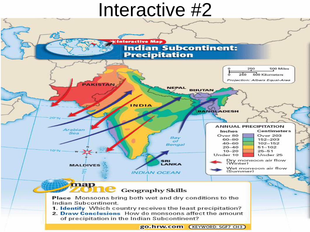
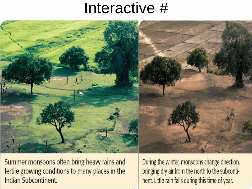
Climates
• The difference in temperatures of the air over the ocean and the air over the
landmass creates the monsoon winds. These winds cause rainfall and
temperature to fluctuate, creating wet and dry seasons.
• From about mid-June to the end of September, the winds bring hot, wet
weather. This occurs during the summer period because heated air rises over the
land, which pulls in the moist ocean air from the south and southwest.
• Then, from early October to February, the winds change direction. In these
winter months, air from the Asian interior in the north is drawn across the
subcontinent toward the ocean.
Physical Geography of India
Interactive #2
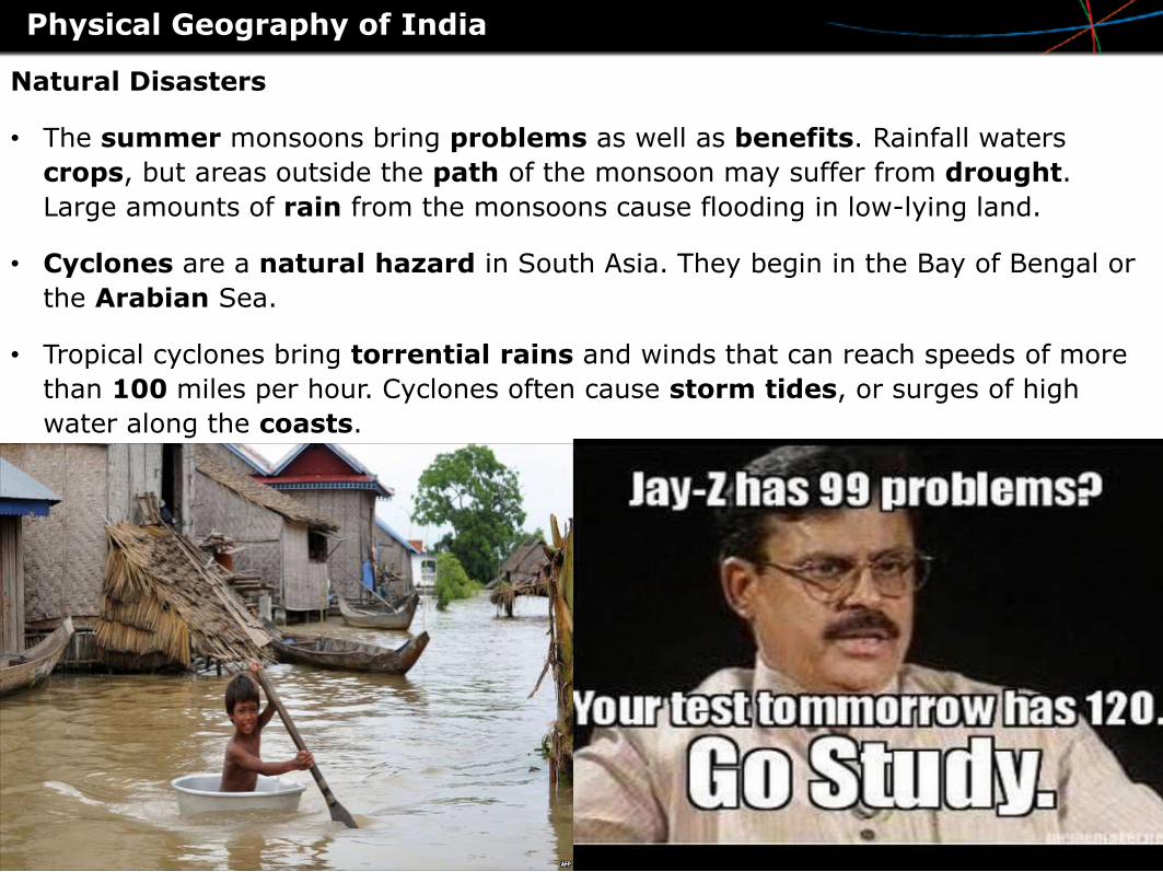
Natural Disasters
• The summer monsoons bring problems as well as benefits. Rainfall waters
crops, but areas outside the path of the monsoon may suffer from drought.
Large amounts of rain from the monsoons cause flooding in low-lying land.
• Cyclones are a natural hazard in South Asia. They begin in the Bay of Bengal or
the Arabian Sea.
• Tropical cyclones bring torrential rains and winds that can reach speeds of more
than 100 miles per hour. Cyclones often cause storm tides, or surges of high
water along the coasts.
Physical Geography of India
Interactive #
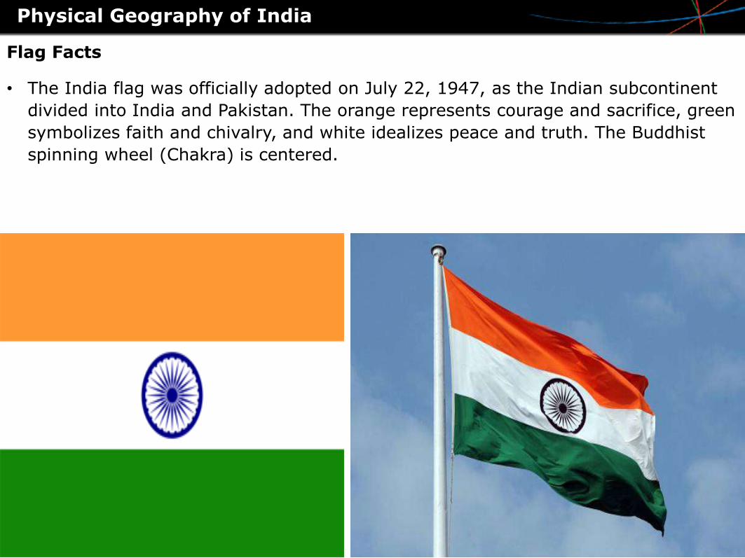
Flag Facts
• The India flag was officially adopted on July 22, 1947, as the Indian subcontinent
divided into India and Pakistan. The orange represents courage and sacrifice, green
symbolizes faith and chivalry, and white idealizes peace and truth. The Buddhist
spinning wheel (Chakra) is centered.
Physical Geography of India
Interactive #
Attractions
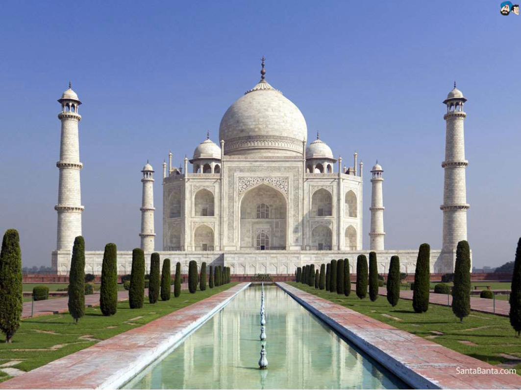
• In a place so varied and so interesting, it's difficult to provide a brief
list of things to see and do, however, not to be missed are the Taj
Mahal, one of the premier destinations in the world.
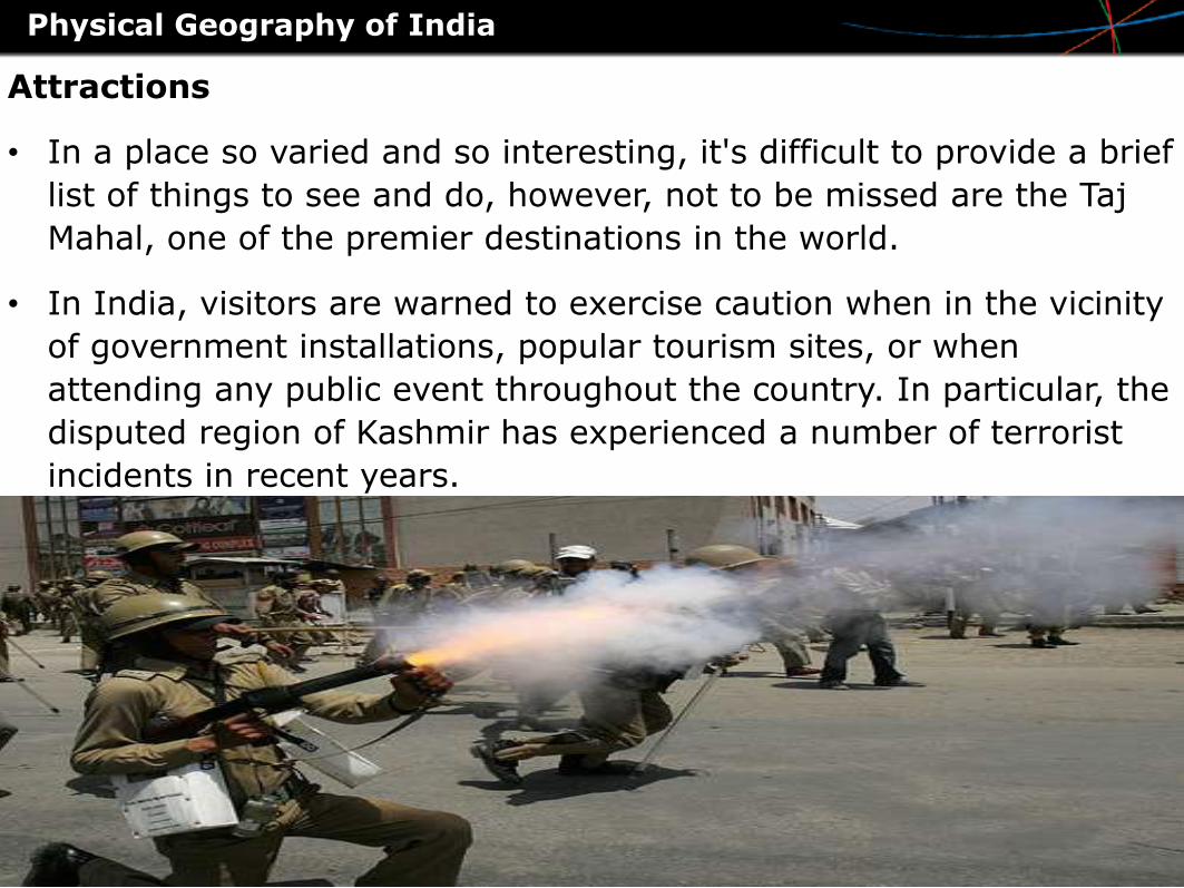
• In India, visitors are warned to exercise caution when in the vicinity
of government installations, popular tourism sites, or when
attending any public event throughout the country. In particular, the
disputed region of Kashmir has experienced a number of terrorist
incidents in recent years.
Physical Geography of India