Embed Size (px)
Citation preview
NOAA/NWS Binghamton, NY
Rain and Flood Potential Update
Briefing #3 May 15th, 2014 3:00 PM
Jim Brewster & Erik Heden, Meteorologists
FOR CENTRAL NY This area includes but is not limited to cities such as Syracuse, Utica, Ithaca, Elmira, Binghamton, and Oneonta.
FOR NORTHEAST PA This area includes but is not limited to cities such as Towanda, Montrose, Scranton, and Wilkes-Barre.
This Briefing applies to the NWS Binghamton Service Area only:
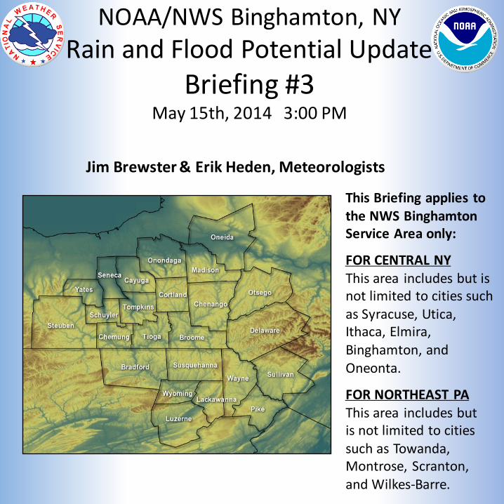
Summary • Flash Flood Watch in effect for all of Central New York
and northeast Pennsylvania. This Evening through Friday Night.
• Rain slowly moves into the Finger Lakes and Southern Tier later this evening. Rain reaches I-81 toward sunrise and then into the Catskills/Poconos during the day Friday.
• Widespread rain totals of 1 ¾ to 2 ½ inches most likely. Local amounts to 3+ inches possible in any thunderstorms.
• Small streams and creeks will be most vulnerable for flooding. Flooding could become rapid and violent (“flashy”) under any persistent heavy rain.
• Most larger rivers will rise a few to several feet, but should remain within their banks. A few quicker responding headwater points could flood.
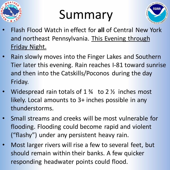
Watches/Warnings/Advisories as of 2 PM EDT Thu May 15
Flash Flood Watch this Evening through Late Friday Night (begins earlier in western portions of NY/PA).

Rainfall Forecast (Tonight through Friday Night)
Widespread 1 ¾ to 2 ½ inches, with localized amounts to 3 inches possible in thunderstorms.
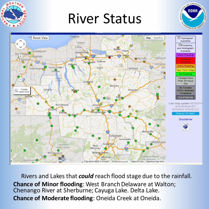
River Status
Rivers and Lakes that could reach flood stage due to the rainfall. Chance of Minor flooding: West Branch Delaware at Walton; Chenango River at Sherburne; Cayuga Lake. Delta Lake. Chance of Moderate flooding: Oneida Creek at Oneida.
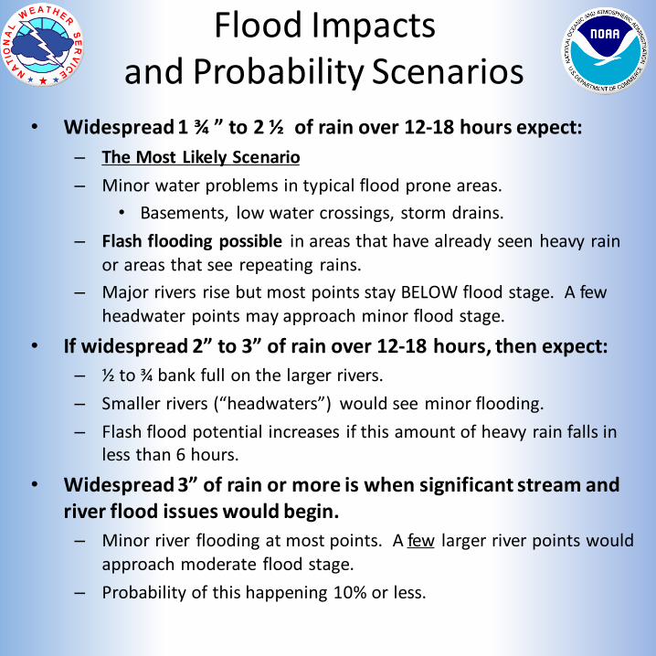
Flood Impacts and Probability Scenarios
• Widespread 1 ¾ ” to 2 ½ of rain over 12-18 hours expect:
– The Most Likely Scenario
– Minor water problems in typical flood prone areas.
• Basements, low water crossings, storm drains.
– Flash flooding possible in areas that have already seen heavy rain or areas that see repeating rains.
– Major rivers rise but most points stay BELOW flood stage. A few headwater points may approach minor flood stage.
• If widespread 2” to 3” of rain over 12-18 hours, then expect:
– ½ to ¾ bank full on the larger rivers.
– Smaller rivers (“headwaters”) would see minor flooding.
– Flash flood potential increases if this amount of heavy rain falls in less than 6 hours.
• Widespread 3” of rain or more is when significant stream and river flood issues would begin.
– Minor river flooding at most points. A few larger river points would approach moderate flood stage.
– Probability of this happening 10% or less.
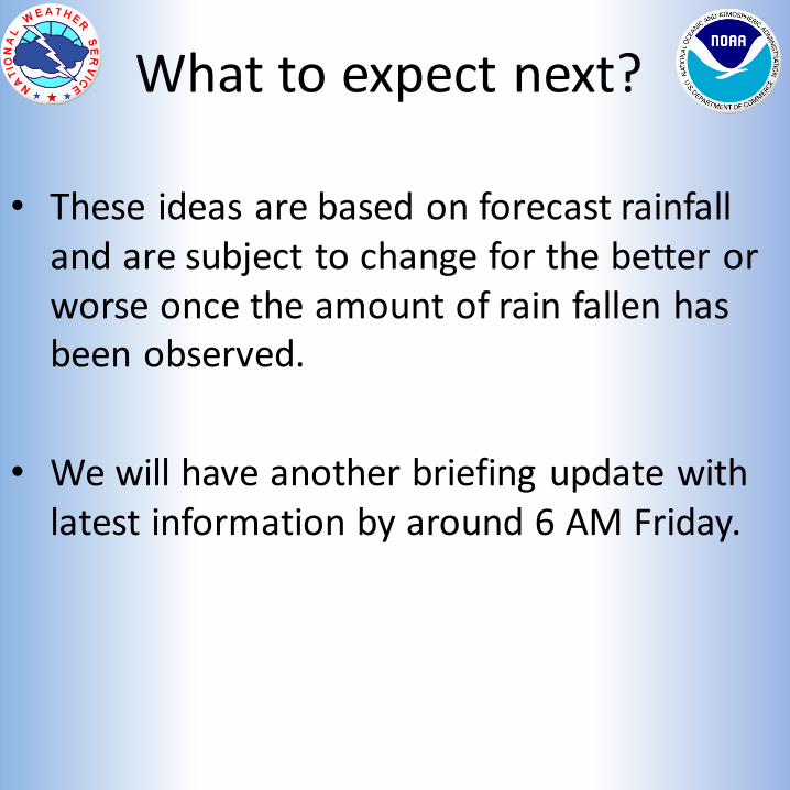
What to expect next?
• These ideas are based on forecast rainfall and are subject to change for the better or worse once the amount of rain fallen has been observed.
• We will have another briefing update with latest information by around 6 AM Friday.
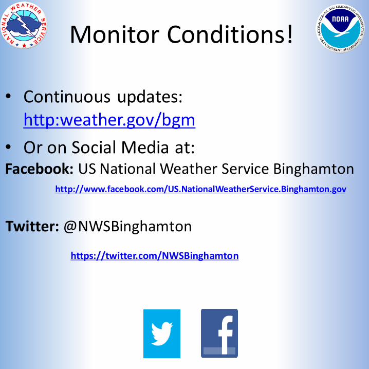
Monitor Conditions!
• Continuous updates: http:weather.gov/bgm
• Or on Social Media at: Facebook: US National Weather Service Binghamton
Twitter: @NWSBinghamton
http://www.facebook.com/US.NationalWeatherService.Binghamton.gov
https://twitter.com/NWSBinghamton