Embed Size (px)
Citation preview

Appendix A7 – Mitigation Monitoring Report Example May 12, 2014


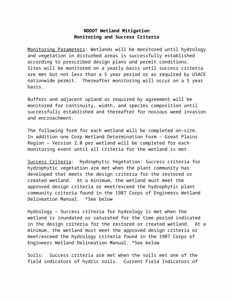
NDDOT Wetland Mitigation Monitoring and Success Criteria
Monitoring Parameters: Wetlands will be monitored until hydrology and vegetation in disturbed areas is successfully established according to prescribed design plans and permit conditions. Sites will be monitored on a yearly basis until success criteria are met but not less than a 5 year period or as required by USACE nationwide permit. Thereafter monitoring will occur on a 5 year basis.
Buffers and adjacent upland as required by agreement will be monitored for continuity, width, and species composition until successfully established and thereafter for noxious weed invasion and encroachment.
The following form for each wetland will be completed on-site. In addition one Corp Wetland Determination Form – Great Plains Region – Version 2.0 per wetland will be completed for each monitoring event until all criteria for the wetland is met.
Success Criteria: Hydrophytic Vegetation: Success criteria for hydrophytic vegetation are met when the plant community has developed that meets the design criteria for the restored or created wetland. At a minimum, the wetland must meet the approved design criteria or meet/exceed the hydrophytic plant community criteria found in the 1987 Corps of Engineers Wetland Delineation Manual. *See below
Hydrology – Success criteria for hydrology is met when the wetland is inundated or saturated for the time period indicated in the design criteria for the restored or created wetland. At a minimum, the wetland must meet the approved design criteria or meet/exceed the hydrology criteria found in the 1987 Corps of Engineers Wetland Delineation Manual. *See below
Soils: Success criteria are met when the soils met one of the field indicators of hydric soils. Current Field Indicators of Hydric Soils of the United States can be found at ftp://ftp-fc.sc.egov.usda.gov/NSSC/Hydric_Soils/FieldIndicators_v6_0.pdf
Buffers: Success criteria will be based on the requirements of the restoration plan. Width, continuity, and species composition will meet the requirements of the plan.
Photo-Point Monitoring: Repeated photographs taken at permanent locations located with GPS are an effective and efficient method for long-term monitoring. Photos should be taken from the same designated point at approximately the same time of year. Photographs that include a distinctive landmark in the background or on the horizon are easier to relocate. Previous photographs (or photocopies) can also be helpful in "framing" the photo consistently from year to year. Establish the photo point the best depicts the wetland and wetland buffer. Record GPS

coordinates to assist in re-locating the point. Photos should be repeated at the same time of the growing season. A photo point monitoring location map is included in the report.
MITIGATION MONITORING REPORT
Background Information
Mitigation Site: Trego
Legal Description: E ½ SW ¼ of Sec 34, T150N-R77W; NW ¼ SW ¼ and Lots 2, 3, & 4 of Sec.
34, T150N-R77W; and Lots 2 &3 of Sec. 3, T149N-R77W.
County: Sheridan Permit No.: NWO-2009-0327-BIS
Monitoring Date: September 5, 2013
Permittee: ND Dept. of Transportation; Contact Sheri Lares 701-328-2188
Inspected By: ND Dept. of Transportation Environmental Scientists: Cory Lawson, Kristen
Sperry.
Directions to Site: Approximately 6.5 miles south and 0.5 miles east of Kief, ND.
Timeline:
Wetland Mitigation Easement Signed – 08/29/2008
Development Option Agreement Signed – 10/05/2008
Construction Completed – Fall 2009, Baseline delineation & ground truthing.
2010 Monitoring (Year 1) – 08/24/2010 – Criteria not yet met on most wetlands.
2011 Monitoring (Year 2) – 09/26/2011 – Criteria met on all wetlands/buffers except
Wetlands 11 & 9.
2012 Monitoring (Year 3) - 08/23/2012 – Criteria met on all wetlands/buffers except
Wetlands 11 & 9.
2013 Monitoring (Year 4) – 09/05/2013 – Monitored wetlands 9, 11, 12 & 13 because
9 & 11 have not yet met planned design, and 12 & 13 had never been delineated due
to being amongst cattle. All other wetlands onsite were visually monitored and
remain established as proven in previous monitoring years. Wetlands 9 & 11 are still
lacking establishment. It is anticipated that 2014 will be the final monitoring year.
Wetland/Buffer Criteria Deadline – Fall 2014
Mitigation Plan: The Trego Mitigation Site was built with the intention of offsetting adverse
wetland impacts incurred from transportation projects by preserving, enhancing, and restoring
wetland complexes and their associated uplands. A combination of constructing ditch blocks,
removing sediment, preserving wetlands, establishing/preserving upland buffers, and protective
easements were coordinated to establish 15.56 mitigation credits. Yearly monitoring of the
mitigation site began with a baseline in 2009 and is anticipated to be completed in 2014.
Mitigation Site Condition-Narrative Summary1. Is the wetland meeting all three criteria (hydrology, vegetation, hydric soils)? Yes X No X
(Attach Wetland Delineation Data Form – Great Plains Version 2.0)
If no, indicate which criteria are not being met and reason why: Criteria are being met as planned on all but 2 wetlands. The site has been very dry and Wetland 9 &11 haven’t been able to establish hydrology long enough to allow wetland vegetation to compete. This is likely the cause of converting the adjacent uplands to vegetation from cropland thus reducing runoff to these tiny wetlands. NDDOT will need to decide by next year if they should consider relinquishing the credits acquired by removing sediment from wetlands 9 & 11, or figure a plan of action for these two wetlands.
2. Indicate if wetland showing any observable sign(s) of re-vegetation, organic debris, erosion, silting-in, flooding, expansion, human use, or other problem area(s) that you may have identified or no observable change(s) from the as-built plans? (Circle all applicable) Explain:
3. (if required by permit) Is the buffer meeting design plans and permit conditions? Yes X No__ Indicate any concerns that impact the integrity of the wetland buffer:The wetland buffers were seeded with native species in spring of 2013.
4. (if required by permit) Is the adjacent upland meeting design criteria? Yes X No__ Indicate any concerns that impact the integrity of the adjacent upland: ________________________ ________________________________________________________________________________________________________________________________________________________________________________________________________
5. Are there any recommendations for additional corrective or remedial actions? Yes __ No XIndicate any recommendations for additional corrective or remedial actions: Noxious weeds, Cirsium arvense, were found on the tract in a very limited presence. The landowner will be notified the need to control as required by ND State law.
Mitigation Site Photography
A representative number of photographs shall be taken depicting the entire wetland mitigation site. Include photographs of problem areas at the mitigation site or bank. Use following photo
template to document photo information. If permitted by the USACE, one complete and marked set of photographs shall be provided to the USACE.
Photos were taken of wetlands 9, 11, 12 & 13. The photo point location map is attached and photo stations are matched closely with previous years. Photos are portrayed in order of wetland number.
ADD PHOTO TEMPLATE ADD APPLICABLE USACE WETLAND DELINEATION FORMS