Embed Size (px)
Citation preview

edoc #2734246
2015 UpdateTRANSPORTATION PROJECTS
September 30, 2015
This document provides the status of the transportation work that is complete or on-going this year. A one-page summary of each project is enclosed in this package.
2015 Transportation Project Update
1. Keith Road Bridge Replacement2. Lower Lynn Interchanges3. Deep Cove Parking Improvement4. Metro Vancouver Capilano No.9 Water Main5. School Transportation and Safety Study6. Pedestrian Projects7. Cycling Projects8. Transit Infrastructure Improvements9. Construction Traffic Management10. Project Delivery Office11. Traffic Calming12. E. 29th Street Corridor Planning13. Philip Avenue Overpass14. Supporting Official Community Plan Implementation15. Sustainment Programs

1 2015 Transportation Projects Update edoc #2734246
1KEITH ROAD BRIDGE REPLACEMENTBridge construction
ROADS
DescriptionThe Keith Road Bridge replacement includesa new five-lane facility with bike lanes and sidewalk on both sides.
In 2013 and 2014 the conceptual design wascompleted and preconstruction work done, including property acquisition, consultation, permit applications, design completion and tender package preparation.
Construction started in 2015 including environmental monitoring and engineering supervision.
Status
Project is about 30 percent complete as of end of September 2015.
Keith Road Bridge and adjacent street work is estimated to be complete in the fall of 2016.
Benefits
Additional capacity expected to result in reduced delay, particularly for vehicles accessing Highway 1;
Safe passage for taller and/or heavier vehicles;
Marked cycling route (none exists now);
Pedestrian route on both sides (one side now);
Better clearance for flooding or debris flows; and
More clearance over the trails that run alongside Lynn Creek.
OriginKeith Road Bridge Condition Assessment Report, Lower Lynn Transportation Strategy (2010).

2 2015 Transportation Projects Update edoc #2734246
2LOWER LYNN INTERCHANGES (Province)Phase 1 - Mountain Highway
ROADS
DescriptionMountain Highway interchange is Phase 1 ofthe Lower Lynn Interchanges project being led by the Province’s Ministry of Transportation and Infrastructure (MOTI), with the District as a partner.
District residents, businesses and workers travelling in vehicles or by transit in Seymourand Lynn Valley are particularly affected when Highway 1 is severely congested.
Future phases of upgrades to the Highway 1 Interchanges in the Lower Lynn area include Fern Street/Mount Seymour Parkway, and Main Street/Dollarton Highway.
Status
MOTI plans to host a public open house in fall 2015.
Construction on the Mountain Highway Interchange is expected to begin in 2016 and to be complete in 2018.
Benefits
Improve east-west movement (all modes);
Improved highway operations and safety;
Implementation of Lower Lynn Plan;
Strategic construction traffic management; and
Collaboration with stakeholders, including City of North Vancouver.A preferred design would:
Increase separation of highway and local traffic with better connections across thehighway for local traffic
Reduce crash risk and delays along Highway 1;
Provide cycling and walking connections on both sides on Mountain Highway overpassacross Highway 1;
Improve goods movement to and from the adjacent industrial areas; and
Improvements to adjacent trails.
OriginDistrict’s Transportation Plan (2012). Ministry’s work to upgrade Highway 1 corridor.
Mountain Highway Interchange
funding announcement
3 2015 Transportation Projects Update edoc #2734246
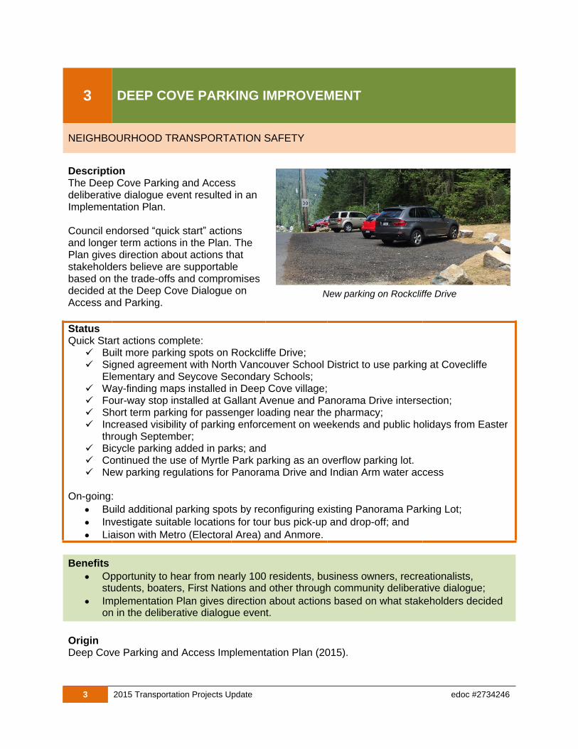
3 DEEP COVE PARKING IMPROVEMENT
NEIGHBOURHOOD TRANSPORTATION SAFETY
DescriptionThe Deep Cove Parking and Access deliberative dialogue event resulted in an Implementation Plan.
Council endorsed “quick start” actions and longer term actions in the Plan. The Plan gives direction about actions that stakeholders believe are supportable based on the trade-offs and compromisesdecided at the Deep Cove Dialogue on Access and Parking.
StatusQuick Start actions complete: Built more parking spots on Rockcliffe Drive; Signed agreement with North Vancouver School District to use parking at Covecliffe
Elementary and Seycove Secondary Schools; Way-finding maps installed in Deep Cove village; Four-way stop installed at Gallant Avenue and Panorama Drive intersection; Short term parking for passenger loading near the pharmacy; Increased visibility of parking enforcement on weekends and public holidays from Easter
through September; Bicycle parking added in parks; and Continued the use of Myrtle Park parking as an overflow parking lot. New parking regulations for Panorama Drive and Indian Arm water access
On-going:
Build additional parking spots by reconfiguring existing Panorama Parking Lot;
Investigate suitable locations for tour bus pick-up and drop-off; and
Liaison with Metro (Electoral Area) and Anmore.
Benefits
Opportunity to hear from nearly 100 residents, business owners, recreationalists, students, boaters, First Nations and other through community deliberative dialogue;
Implementation Plan gives direction about actions based on what stakeholders decided on in the deliberative dialogue event.
OriginDeep Cove Parking and Access Implementation Plan (2015).
New parking on Rockcliffe Drive

4 2015 Transportation Projects Update edoc #2734246
4 METRO VANCOUVER CAPILANO No. 9 WATER MAIN
ROADS
DescriptionMetro Vancouver is replacing the Capilano No.9 Water Main. The project has a major impact on transportation operations on Capilano Road during the water main construction.
As Capilano Road is temporary closed to mosttraffic, the District was involved in the pre-planning stage with Metro Vancouver, including assigning staff time, neighbourhoodsconsultation, community meetings, resolving transportation issues, temporary detour route planning, and temporary signal planning (Ridgewood/Edgemont and Ridgewood/Highland).
Improvements that are part of the Capilano Water Main project delivered by Metro Vancouver include, for example:
Repaving of Capilano Road
Bicycle lanes
Contribute to municipal Capilano Road water main replacement
Temporary and trial traffic control measures
Sanitary and storm connections
Intersection conduit
Fibre optic conduit
Status
Project began in fall 2015, and the completion date is summer 2016.
Benefits
Reconstruction of Capilano Road presents the opportunity for the appropriate pedestrianand cycling infrastructure to be implemented. The need for improved conditions for walking and cycling on Capilano Road is long-standing.
OriginMetro Vancouver Capilano No. 9 water main replacement project.
New water main pipe for Capilano Road
5 2015 Transportation Projects Update edoc #2734246
5 SCHOOL TRANSPORTATION & SAFETY STUDY
ACTIVE TRANSPORTATION & ROAD SAFETY
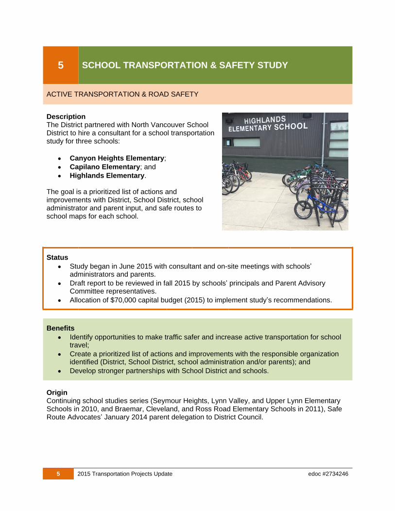
DescriptionThe District partnered with North Vancouver School District to hire a consultant for a school transportationstudy for three schools:
Canyon Heights Elementary;
Capilano Elementary; and
Highlands Elementary.
The goal is a prioritized list of actions and improvements with District, School District, school administrator and parent input, and safe routes to school maps for each school.
Status
Study began in June 2015 with consultant and on-site meetings with schools’ administrators and parents.
Draft report to be reviewed in fall 2015 by schools’ principals and Parent Advisory Committee representatives.
Allocation of $70,000 capital budget (2015) to implement study’s recommendations.
Benefits
Identify opportunities to make traffic safer and increase active transportation for school travel;
Create a prioritized list of actions and improvements with the responsible organization identified (District, School District, school administration and/or parents); and
Develop stronger partnerships with School District and schools.
OriginContinuing school studies series (Seymour Heights, Lynn Valley, and Upper Lynn Elementary Schools in 2010, and Braemar, Cleveland, and Ross Road Elementary Schools in 2011), Safe Route Advocates’ January 2014 parent delegation to District Council.

6 2015 Transportation Projects Update edoc #2734246
6PEDESTRIAN PROJECTSCrosswalks & Sidewalks
WALKING
DescriptionIn 2015, three marked crosswalks were improvedat the following locations:
Montroyal Boulevard at Shirley Avenue;
Montroyal Boulevard at Cliffridge Avenue;and
Mount Seymour Parkway at Fairview Drive.
In addition lighting is being improved at the existing Kirkstone Road at Rufus Drive crosswalk.
A sidewalk for both sides of East 29th Street ranksas “high priority” in the Pedestrian Master Plan. Construction in 2015 is planned for:
East 29th Street from Fromme Road to St Christophers Road, and
East 29th Street curb and gutter from St Christophers Road to William Avenue (in preparation for sidewalk construction in 2016 subject to funding).
Status
Marked crosswalk prioritization list now available on the website.
Three new crosswalks completed in 2015.
Sidewalk construction on E. 29th Street is underway.
Benefits
A complete sidewalk network is especially important for the elderly, disabled and children.
Research shows that amber flashing beacons are an effective tool for increasing driver awareness and compliance with yielding right-of-way to pedestrians in crosswalks.
OriginImplementation Priority of Study Locations - Crossing Facilities (2013); Pedestrian Master Plan (2009).
7 2015 Transportation Projects Update edoc #2734246
7 CYCLING PROJECTS
CYCLING
Description and StatusThree bicycle facilities are being implemented this year.
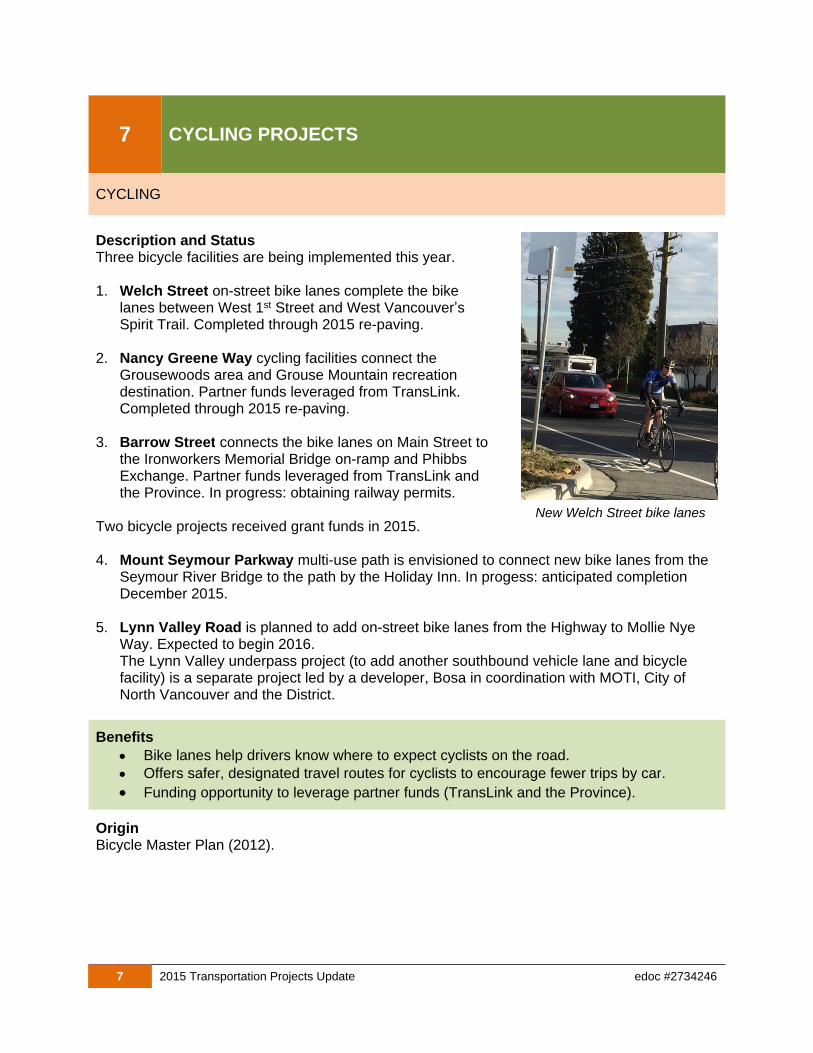
1. Welch Street on-street bike lanes complete the bike lanes between West 1st Street and West Vancouver’s Spirit Trail. Completed through 2015 re-paving.
2. Nancy Greene Way cycling facilities connect the Grousewoods area and Grouse Mountain recreation destination. Partner funds leveraged from TransLink. Completed through 2015 re-paving.
3. Barrow Street connects the bike lanes on Main Street to the Ironworkers Memorial Bridge on-ramp and Phibbs Exchange. Partner funds leveraged from TransLink and the Province. In progress: obtaining railway permits.
Two bicycle projects received grant funds in 2015.
4. Mount Seymour Parkway multi-use path is envisioned to connect new bike lanes from the Seymour River Bridge to the path by the Holiday Inn. In progess: anticipated completion December 2015.
5. Lynn Valley Road is planned to add on-street bike lanes from the Highway to Mollie Nye Way. Expected to begin 2016.The Lynn Valley underpass project (to add another southbound vehicle lane and bicycle facility) is a separate project led by a developer, Bosa in coordination with MOTI, City of North Vancouver and the District.
Benefits
Bike lanes help drivers know where to expect cyclists on the road.
Offers safer, designated travel routes for cyclists to encourage fewer trips by car.
Funding opportunity to leverage partner funds (TransLink and the Province).
OriginBicycle Master Plan (2012).
New Welch Street bike lanes

8 2015 Transportation Projects Update edoc #2734246
8 TRANSIT INFRASTRUCTURE IMPROVEMENTS
TRANSIT
DescriptionIn January 2015, a new Transit Shelter and Bench Agreement was signed with Pattison Outdoor Advertising to install new benches and shelters at transit stops.
Each year, accessibility improvements at transit stops are cost shared with annual partner funding from Coast Mountain Bus Company (CMBC) throughthe Transit-Related Road Improvements Program.
Transit-related improvements in 2015 are to include:
Installation of 75 new streetscape benches without advertisement;
Installation of 64 new advertising and non-advertising transit shelters by Pattison;
Re-painting of existing custom shelters in the Lynn Valley area; and
Installation of new concrete landing pads, sidewalks, and retaining walls required for wheelchair accessibility.
Status
Old advertising transit benches were removed in June 2015.
Installation of new streetscape benches is scheduled to be completed by fall 2015.
Installation of new transit shelters is scheduled to start in fall 2015.
Benefits
Improved streetscapes in the transit stop areas.
Improved comfort and safety for transit passengers and pedestrians.
Improved accessibility of the transit system for people of all ages and abilities.
OriginPublic requests; Transit Shelter and Bench Agreement (2015).
New bench without advertisement
Old bench with advertisement
9 2015 Transportation Projects Update edoc #2734246
9 CONSTRUCTION TRAFFIC MANAGEMENT
IMPROVING THE WAY WE DO BUSINESS
DescriptionCouncil initiated the Construction Traffic Management Program in Fall 2014. After one year, two full-time program staff:
Developed construction coordination software that will become an online tool to display potential traffic delays tothe public,
Applied a fee structure to encourage compliance with terms and conditions of Highway Use Permits,
Reduced the use of street space used for construction by increasing fees for street occupancy permits from $40,000/year to more than $125,000/year, and
Improved Highway Use Permit format to include clear restrictions and conditions.
Status
Coordination software implementation complete. Currently implementing a web-based tool for public information.
The program has primarily focused on managing major developments and infrastructure renewal projects. There is potential to encompass single family re-development impacts more routinely.
BenefitsCoordinating on-street activities:
Reduces construction-related congestion;
Reduces the compounding effects of multiple projects in close proximity (although not all delays can be eliminated); and
Minimizes impacts to residents by requiring developments to create and adhere to plans for trucking, parking, deliveries, and lane closures that are acceptable to the District.
OriginCouncil initiation in 2014 due to increasing concerns about congestion caused by works associated with major developments and infrastructure renewal.
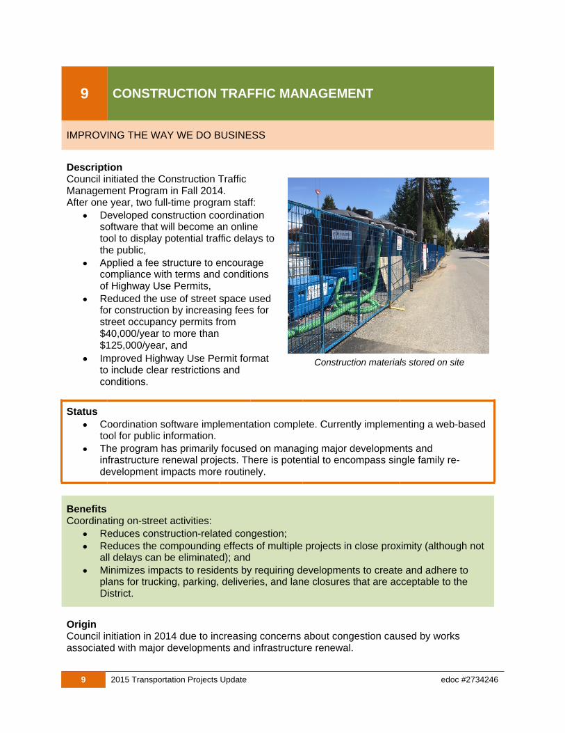
Construction materials stored on site
10 2015 Transportation Projects Update edoc #2734246
10 PROJECT DELIVERY OFFICE
IMPROVING THE WAY WE DO BUSINESS
DescriptionThe Project Delivery Office was initiated in April 2015 to deliver major infrastructure in the District. With aging infrastructure and housing stock, large-scale municipal and regional infrastructure upgrades require dedicatedstaff to liaise with stakeholders and other jurisdictions.
Examples of major projects in 2015:
Keith Road Bridge;
Capilano No. 9 Water Main (MetroVancouver);
Lower Lynn Interchanges (Ministry of Transportation and Infrastructure);
Waste Water Treatment Plant (Metro Vancouver); and
Infrastructure to enable servicing of town and village centre redevelopment.
Status
Capital sustainment projects like Keith Road Bridge in construction;
External projects like Capilano Water Main in construction and Mountain interchange in detailed design; and
Servicing underway for town and village centre redevelopment.
Benefits
Major projects require staff to act as owners from start to finish; and
Provides project oversight to engage stakeholders, identify risks, confirm finances, ensure quality, monitor schedules, and document lessons learned.
OriginStaffing aligned to meet organization’s needs in 2015 due to large infrastructure renewal projects and the need for coordination with external jurisdictions.
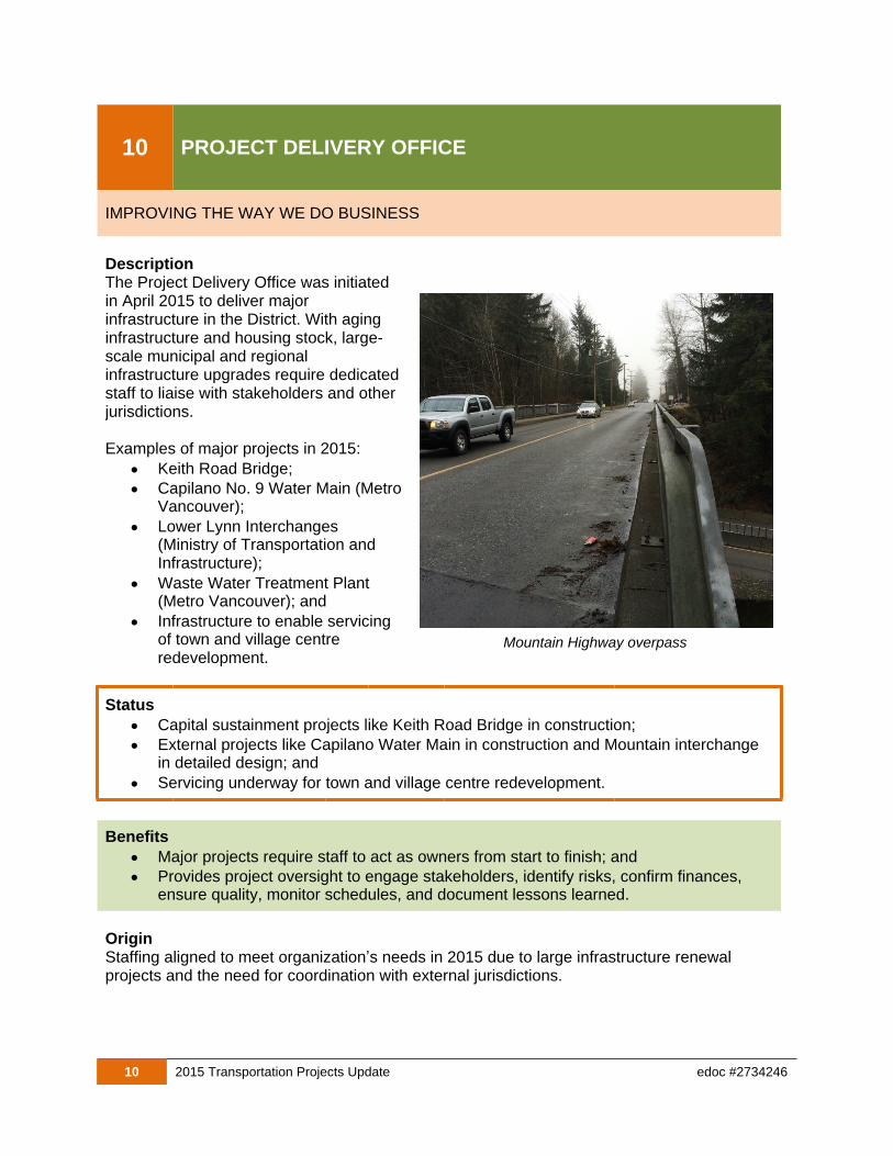
Mountain Highway overpass
11 2015 Transportation Projects Update edoc #2734246
11 EAST 29th STREET CORRIDOR PLANNING (UBC)
ROADS
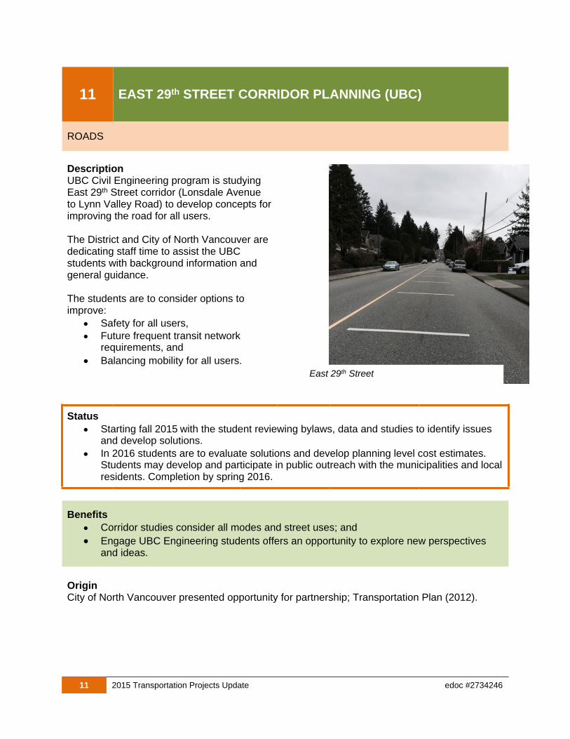
DescriptionUBC Civil Engineering program is studying East 29th Street corridor (Lonsdale Avenue to Lynn Valley Road) to develop concepts forimproving the road for all users.
The District and City of North Vancouver are dedicating staff time to assist the UBC students with background information and general guidance.
The students are to consider options to improve:
Safety for all users,
Future frequent transit network requirements, and
Balancing mobility for all users.
Status
Starting fall 2015 with the student reviewing bylaws, data and studies to identify issues and develop solutions.
In 2016 students are to evaluate solutions and develop planning level cost estimates. Students may develop and participate in public outreach with the municipalities and localresidents. Completion by spring 2016.
Benefits
Corridor studies consider all modes and street uses; and
Engage UBC Engineering students offers an opportunity to explore new perspectives and ideas.
OriginCity of North Vancouver presented opportunity for partnership; Transportation Plan (2012).
East 29th Street
12 2015 Transportation Projects Update edoc #2734246
12 TRAFFIC CALMING
ROADS
DescriptionTraffic calming can be proposed by residents through the Local Area Service (LAS) program according to the Traffic Calming Policy.
Following the Sunset Boulevard proposal, staff havestarted a Traffic Calming Policy Review with a focus on collector streets, and intend to discuss with Council in early 2016.
Recent traffic calming projects include:
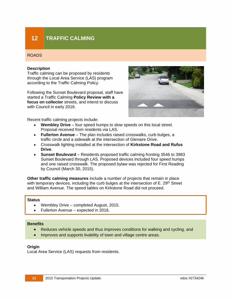
Wembley Drive – four speed humps to slow speeds on this local street. Proposal received from residents via LAS.
Fullerton Avenue – The plan includes raised crosswalks, curb bulges, a traffic circle and a sidewalk at the intersection of Glenaire Drive.
Crosswalk lighting installed at the intersection of Kirkstone Road and Rufus Drive.
Sunset Boulevard – Residents proposed traffic calming fronting 3546 to 3983Sunset Boulevard through LAS. Proposed devices included four speed humpsand one raised crosswalk. The proposed bylaw was rejected for First Readingby Council (March 30, 2015).
Other traffic calming measures include a number of projects that remain in place with temporary devices, including the curb bulges at the intersection of E. 29th Street and William Avenue. The speed tables on Kirkstone Road did not proceed.
Status
Wembley Drive – completed August, 2015.
Fullerton Avenue – expected in 2016.
Benefits
Reduces vehicle speeds and thus improves conditions for walking and cycling, and
Improves and supports livability of town and village centre areas.
OriginLocal Area Service (LAS) requests from residents.
13 2015 Transportation Projects Update edoc #2734246
13 PHILIP AVENUE OVERPASS
ROADS
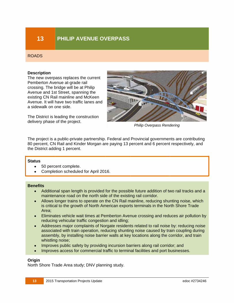
DescriptionThe new overpass replaces the current Pemberton Avenue at-grade rail crossing. The bridge will be at Philip Avenue and 1st Street, spanning the existing CN Rail mainline and McKeen Avenue. It will have two traffic lanes anda sidewalk on one side.
The District is leading the construction delivery phase of the project.
The project is a public-private partnership. Federal and Provincial governments are contributing 80 percent, CN Rail and Kinder Morgan are paying 13 percent and 6 percent respectively, and the District adding 1 percent.
Status
50 percent complete.
Completion scheduled for April 2016.
Benefits
Additional span length is provided for the possible future addition of two rail tracks and a maintenance road on the north side of the existing rail corridor.
Allows longer trains to operate on the CN Rail mainline, reducing shunting noise, which is critical to the growth of North American exports terminals in the North Shore Trade Area;
Eliminates vehicle wait times at Pemberton Avenue crossing and reduces air pollution byreducing vehicular traffic congestion and idling;
Addresses major complaints of Norgate residents related to rail noise by: reducing noise associated with train operation, reducing shunting noise caused by train coupling during assembly, by installing noise barrier walls at key locations along the corridor, and train whistling noise;
Improves public safety by providing incursion barriers along rail corridor; and
Improves access for commercial traffic to terminal facilities and port businesses.
OriginNorth Shore Trade Area study; DNV planning study.
Philip Overpass Rendering

14 2015 Transportation Projects Update edoc #2734246
14SUPPORTING OFFICIAL COMMUNITY PLAN IMPLEMENTATION
LAND USE AND TRANSPORTATION
DescriptionTwo transportation studies were completed in 2015. The studies include a detailed plan to accommodate all transportation modes and to support development review in the town and village centres:
Lower Capilano – Marine Drive Village Centre Functional Design Report; and
Edgemont Village Transportation Study.
Development applications are reviewed by transportation staff to ensure compliance with transportation plans, guidelines, policies and bylaws.
Status
Lower Capilano – Marine Village Centre Functional Design Report – Complete February 2015.
Edgemont Village Transportation Study – Complete June 2015.
Development reviews are active and on-going.
Benefits
Provide detail on transportation impacts of growth plans in the OCP Creates a better quality development project for neighbourhood livability;
Ensures latest standards are being used
Secures improved transportation infrastructure near development site
Ensures development proposals follow transportation plans, policies and guidelines;
OriginProposed development submissions.
Transportation studies are undertaken to understand the long-term impacts of development and provide enough information so that land can be secured through redevelopment.
15 2015 Transportation Projects Update edoc #2734246
15 SUSTAINMENT PROGRAMS
ROADS
DescriptionThis program replaces portion of the transportation infrastructure annually throughan ongoing program reduces maintenance costs, and maintains aesthetic appearance of District streets.
The annual maintenance programs include:
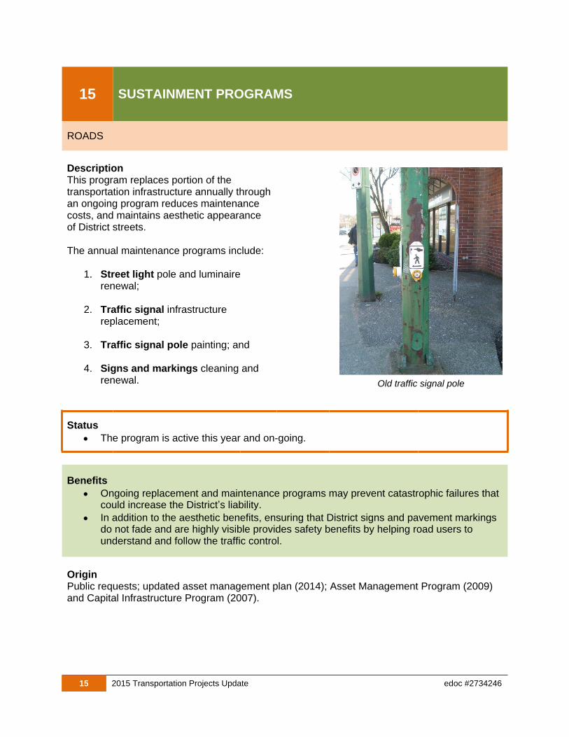
1. Street light pole and luminaire renewal;
2. Traffic signal infrastructurereplacement;
3. Traffic signal pole painting; and
4. Signs and markings cleaning and renewal.
Status
The program is active this year and on-going.
Benefits
Ongoing replacement and maintenance programs may prevent catastrophic failures that could increase the District’s liability.
In addition to the aesthetic benefits, ensuring that District signs and pavement markings do not fade and are highly visible provides safety benefits by helping road users to understand and follow the traffic control.
OriginPublic requests; updated asset management plan (2014); Asset Management Program (2009) and Capital Infrastructure Program (2007).
Old traffic signal pole