Embed Size (px)
Citation preview
Taking the Road Not TraveledAn interactive locative media project
By: Laura Crestohl
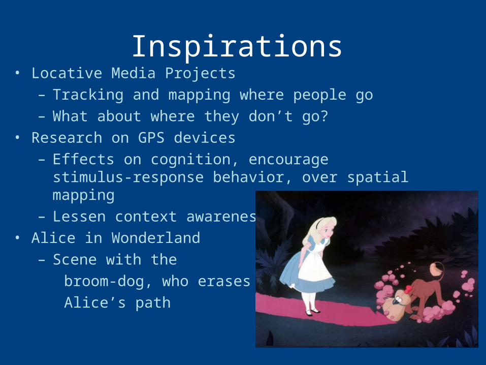
Inspirations• Locative Media Projects
– Tracking and mapping where people go– What about where they don’t go?
• Research on GPS devices– Effects on cognition, encourage stimulus-
response behavior, over spatial mapping– Lessen context awareness
• Alice in Wonderland– Scene with the broom-dog, who erases Alice’s path
Project• Application that can be downloaded onto a
smartphone or GPS device, or accessed through wifi
• A 2D aerial-view map, tracking the user’s location. However, as the user traveled, their path would be erased on the map.
• Thus, to get back, the participant would be forced to either take a new path, or use their memory and spatial mapping ability to find their way.
• Another option would be to access the Project Map, which would amalgamate the maps of all users, erasing the paths most users have taken. Thus, less visited streets and neighborhoods would still appear, encouraging users to go places less frequented.
• The map would also include neighborhood guides, which would increase context-awareness, but also warn against possibly unsafe areas.
Design Research• Conducted an informal survey among my peers/friends• Results:
– Respondents used GPS devices more often than paper maps
• Tended to use maps only when going somewhere new, used GPS devices more regularly
– Respondents preferred simple and clear aerial view maps over maps that were detailed, photorealistic or “Street-view”
– Respondents overwhelmingly (94%) said that they often take the same route out of habit.
– 88% of Respondents preferred “landmark-driven” directions over spatially-mapped directions.
• Reactions to getting lost:– “Try not to panic and consult a map to
get a 'larger-scope' picture of my surroundings”
– “I act like I'm not lost, and sometimes I ask for directions if I start to get nervous/frustrated.”
– “Anger. Yell and go faster”– “I typically get very agitated when I'm
lost…”– “Frustrated. Call a friend who has
access to internet since I don't have a smartphone.”
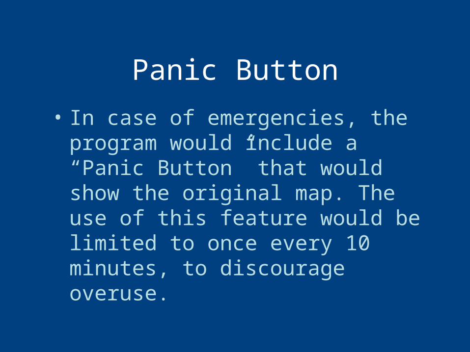
Panic Button
• In case of emergencies, the program would include a “Panic Button” that would show the original map. The use of this feature would be limited to once every 10 minutes, to discourage overuse.
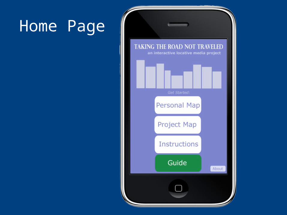
Home Page
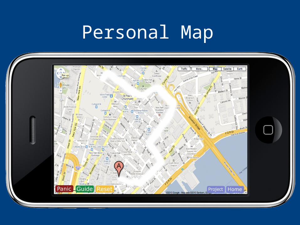
Personal Map
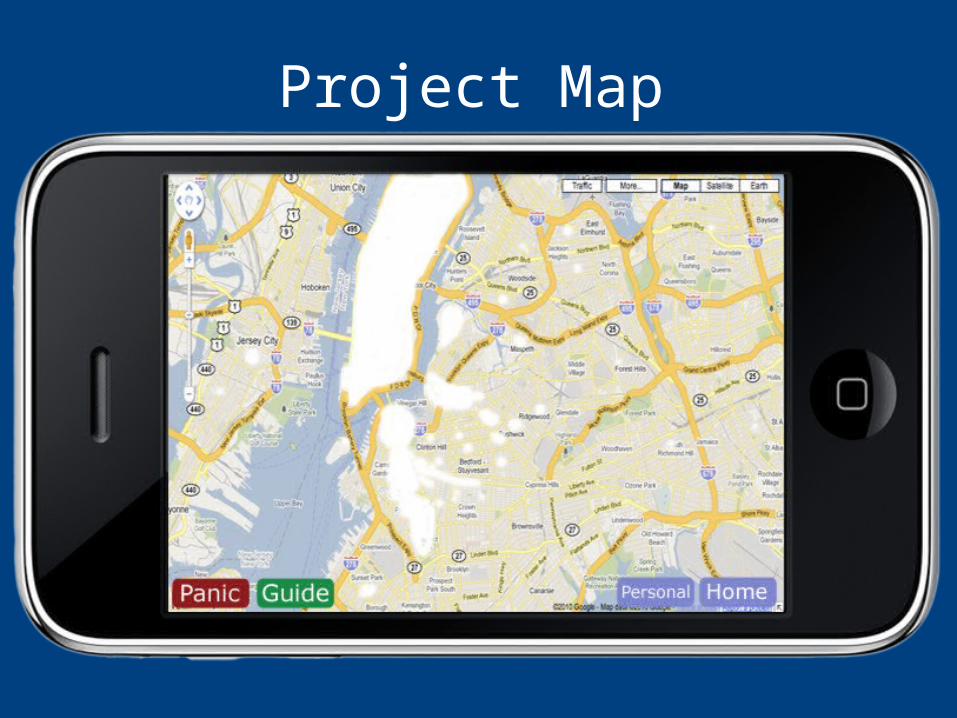
Project Map
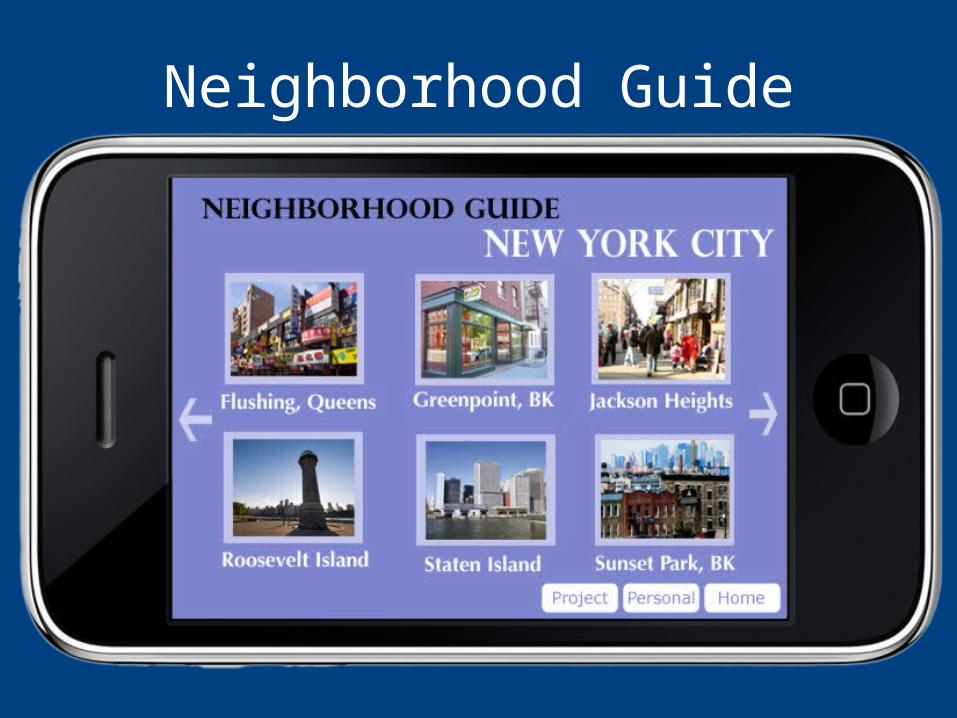
Neighborhood Guide
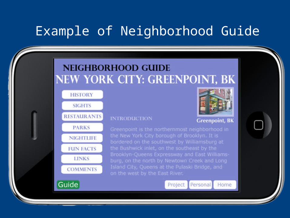
Example of Neighborhood Guide
Anticipated Results• Users will learn to become more
aware of their environment• Users will be motivated to explore
their environment, take new paths and routes
• Users will embrace getting lost, avoid panicking
• Improve spatial mapping and navigation skills