Embed Size (px)
Citation preview

National Commission on the
BP Deepwater Horizon Oil Spill
and Offshore Drilling
Report to the
President
2
Preventing Accidents Changing Business As Usual
3
The Compelling Need for a Culture of Safety
Improving the Safety of Offshore Operations
Safeguarding the Environment
Strengthening Spill Response Planning and Capacity
Advancing Well Containment Capability
Restoring the Gulf of Mexico
Ensuring financial responsibility
Anticipating the challenges of Frontier Areas and the Arctic
Preventing Accidents Changing Government
US offshore drilling regulations and enforcement practices should be the most advanced in the world
5
Advancing Safety Changing Government
Adequate Stable Resources for Regulatory Oversight Funded by Industry
6
Preventing Accidents Changing Government
Raising Liability Caps and Promoting Financial Responsibility
7
Mitigating Harm Containment and Response
Increased Industry amp Government Investment in Spill Response Technology
8
Exxon Valdez ndash March 24 1989
9
10
Mitigating Harm Containment and Response
Better and Readily Deployable Containment Technology
Government In-House Containment Expertise
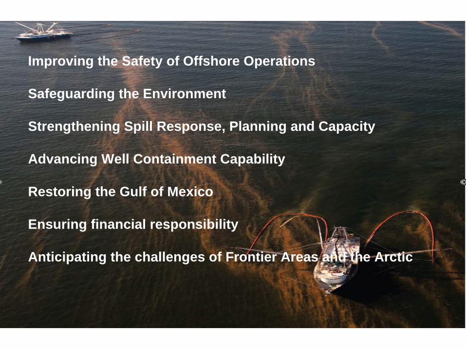
Restoration Providing Adequate amp Sustained Funding
11
Devoting damages and penalties paid by responsible parties to Gulf restoration including 80 percent of Clean Water Act penalties
Ensuring Restoration Promoting Science
Better Science-Based Planning with Actual Plan Implementation
12
13
Arctic Boundary as defined by the Arctic Research and Policy Act (ARPA) All United States and foreign territory north of the Arctic Circle and all United States territory north and west of the boundary formed by the Porcupine Yukon and Kuskokwim Rivers all contiguous seas including the Arctic Ocean and the Beaufort Bering and Chukchi Seas and the Aleutian chain1
Acknowledgement Funding for this map was provided by the National Science Foundation through the Arctic Research Mapping Application (armaporg) and Contract 0520837 to CH2M HILL for the lnteragency Arctic Research Policy Committee (IARPC) Map author Allison Gaylord Nuna Technologies May 27 2009 1 TheAleutian chain boundary is demarcated by the Contiguous zone limit of 24-nautical miles
National Commission on the BP Deepwater Horizon Oil
Spill and Offshore Drilling
Report to the
President
wwwoilspillcommissiongov
15

Preventing Accidents Changing Business As Usual
3
The Compelling Need for a Culture of Safety
Improving the Safety of Offshore Operations
Safeguarding the Environment
Strengthening Spill Response Planning and Capacity
Advancing Well Containment Capability
Restoring the Gulf of Mexico
Ensuring financial responsibility
Anticipating the challenges of Frontier Areas and the Arctic
Preventing Accidents Changing Government
US offshore drilling regulations and enforcement practices should be the most advanced in the world
5
Advancing Safety Changing Government
Adequate Stable Resources for Regulatory Oversight Funded by Industry
6
Preventing Accidents Changing Government
Raising Liability Caps and Promoting Financial Responsibility
7
Mitigating Harm Containment and Response
Increased Industry amp Government Investment in Spill Response Technology
8
Exxon Valdez ndash March 24 1989
9
10
Mitigating Harm Containment and Response
Better and Readily Deployable Containment Technology
Government In-House Containment Expertise
Restoration Providing Adequate amp Sustained Funding
11
Devoting damages and penalties paid by responsible parties to Gulf restoration including 80 percent of Clean Water Act penalties
Ensuring Restoration Promoting Science
Better Science-Based Planning with Actual Plan Implementation
12
13
Arctic Boundary as defined by the Arctic Research and Policy Act (ARPA) All United States and foreign territory north of the Arctic Circle and all United States territory north and west of the boundary formed by the Porcupine Yukon and Kuskokwim Rivers all contiguous seas including the Arctic Ocean and the Beaufort Bering and Chukchi Seas and the Aleutian chain1
Acknowledgement Funding for this map was provided by the National Science Foundation through the Arctic Research Mapping Application (armaporg) and Contract 0520837 to CH2M HILL for the lnteragency Arctic Research Policy Committee (IARPC) Map author Allison Gaylord Nuna Technologies May 27 2009 1 TheAleutian chain boundary is demarcated by the Contiguous zone limit of 24-nautical miles
National Commission on the BP Deepwater Horizon Oil
Spill and Offshore Drilling
Report to the
President
wwwoilspillcommissiongov
15
Preventing Accidents Changing Government
US offshore drilling regulations and enforcement practices should be the most advanced in the world
5
Advancing Safety Changing Government
Adequate Stable Resources for Regulatory Oversight Funded by Industry
6
Preventing Accidents Changing Government
Raising Liability Caps and Promoting Financial Responsibility
7
Mitigating Harm Containment and Response
Increased Industry amp Government Investment in Spill Response Technology
8
Exxon Valdez ndash March 24 1989
9
10
Mitigating Harm Containment and Response
Better and Readily Deployable Containment Technology
Government In-House Containment Expertise
Restoration Providing Adequate amp Sustained Funding
11
Devoting damages and penalties paid by responsible parties to Gulf restoration including 80 percent of Clean Water Act penalties
Ensuring Restoration Promoting Science
Better Science-Based Planning with Actual Plan Implementation
12
13
Arctic Boundary as defined by the Arctic Research and Policy Act (ARPA) All United States and foreign territory north of the Arctic Circle and all United States territory north and west of the boundary formed by the Porcupine Yukon and Kuskokwim Rivers all contiguous seas including the Arctic Ocean and the Beaufort Bering and Chukchi Seas and the Aleutian chain1
Acknowledgement Funding for this map was provided by the National Science Foundation through the Arctic Research Mapping Application (armaporg) and Contract 0520837 to CH2M HILL for the lnteragency Arctic Research Policy Committee (IARPC) Map author Allison Gaylord Nuna Technologies May 27 2009 1 TheAleutian chain boundary is demarcated by the Contiguous zone limit of 24-nautical miles
National Commission on the BP Deepwater Horizon Oil
Spill and Offshore Drilling
Report to the
President
wwwoilspillcommissiongov
15

Mitigating Harm Containment and Response
Increased Industry amp Government Investment in Spill Response Technology
8
Exxon Valdez ndash March 24 1989
9
10
Mitigating Harm Containment and Response
Better and Readily Deployable Containment Technology
Government In-House Containment Expertise
Restoration Providing Adequate amp Sustained Funding
11
Devoting damages and penalties paid by responsible parties to Gulf restoration including 80 percent of Clean Water Act penalties
Ensuring Restoration Promoting Science
Better Science-Based Planning with Actual Plan Implementation
12
13
Arctic Boundary as defined by the Arctic Research and Policy Act (ARPA) All United States and foreign territory north of the Arctic Circle and all United States territory north and west of the boundary formed by the Porcupine Yukon and Kuskokwim Rivers all contiguous seas including the Arctic Ocean and the Beaufort Bering and Chukchi Seas and the Aleutian chain1
Acknowledgement Funding for this map was provided by the National Science Foundation through the Arctic Research Mapping Application (armaporg) and Contract 0520837 to CH2M HILL for the lnteragency Arctic Research Policy Committee (IARPC) Map author Allison Gaylord Nuna Technologies May 27 2009 1 TheAleutian chain boundary is demarcated by the Contiguous zone limit of 24-nautical miles
National Commission on the BP Deepwater Horizon Oil
Spill and Offshore Drilling
Report to the
President
wwwoilspillcommissiongov
15

National Commission on the BP Deepwater Horizon Oil
Spill and Offshore Drilling
Report to the
President
wwwoilspillcommissiongov
15