Embed Size (px)
DESCRIPTION
Abstract: The arrival of web-based mapping from Google and others has revolutionised, in the space of only five years, the way many people interact with maps and map data. And the success of projects such as Wikipedia highlight how collation of small amounts of information from large numbers of people - an approach called 'crowdsourcing' - can challenge traditional models of data collection and ownership. Bringing these concepts together is OpenStreetMap, a collaborative project to create a free editable map of the world. Well-established enterprises such as the Ordnance Survey are coming under increased pressure from this new model, and large companies such as MapQuest and Microsoft are starting to use and invest in it. Martin Lucas-Smith, Webmaster in the Department, and one of two main developers of the leading UK-wide cycle journey planner website, CycleStreets, will discuss OpenStreetMap, its use within a wide range of systems (from cartography, routing, and even its central role helping deal with the Haiti disaster) and discuss the challenges it poses to traditional forms of cartography and data collection.
Citation preview

OpenStreetMapand CycleStreets
Martin Lucas-SmithDepartment of Geography
University of Cambridge
Collaborative map-making and cartographyin the age of the internet

“OpenStreetMap (OSM) is a collaborative project to create a free editable map of the world.” - Wikipedia
Collaborative:
Jul 2007: 9,000 people; December 2010: 333,000
Project:
Not just a map - mass of ideas, processes, data, outputs
Free:
Free financially and Free as in open
Editable:
Constantly changing
Of the world:
Global, not just UK where it started

OpenStreetMap
“OpenStreetMap creates and provides free geographic data such as street maps to anyone who wants them.
“The project was started because most maps you think of as free actually have legal or technical restrictions on their use, holding back people from using them in creative, productive, or unexpected ways.”

OpenStreetMap
UK – Ordnance Survey:
High quality, but ...
Cost can be prohibitive
(particularly voluntary sector)
Derivative data restrictions
Ordnance Survey claims derived data rights when you place something over one of their maps
Incompatible with direction of the Internet, where data is being ‘mashed’ together to make useful information and visualisations
Central control – change can be slow

Crowdsourcing principle
“Crowdsourcing is the act of taking a job traditionally performed by a designated agent (usually an employee) and outsourcing it to an undefined, generally large group of people in the form of an open call.”
http://crowdsourcing.typepad.com/
Everyone knows a little bit about something in their area. Put that together and you get:

OpenStreetMap
OpenStreetMap website default style

OpenStreetMap
Cloudmade ‘Fresh’ style (#997)

OpenStreetMap
Cloudmade ‘Googley’ style (#5138)

OpenStreetMap
OpenCycleMap

OpenStreetMap
OpenCycleMap

OpenStreetMap
CycleStreets data view

OpenStreetMap
CycleStreets data interrogation

OpenStreetMap
http://tolu.giub.uni-bonn.de/karto/osm-3d/Screenshots/Dresden/Dresden2.jpg

OpenStreetMap
Glosm 3D (Russia)

OpenStreetMap
http://wiki.openstreetmap.org/wiki/File:Rostock-warnemuende.leuchtturm.osm-3d.jpg

OpenStreetMap
http://wiki.openstreetmap.org/wiki/File:Seamap.png

OpenStreetMap

OpenStreetMap
http://opengeodata.org/pretty-osm-derived-art-maps

OpenStreetMap
Urban accessibility of Castelfiorentino

OpenStreetMap
Bike Hub app, uses CycleStreets routing

OpenStreetMap
First tactile map based on OSM data published on May 12, 2009

OpenStreetMap
Marikina Mapping Party cake (4th Mapping Party in the Philippines)

CycleStreets Journey planner
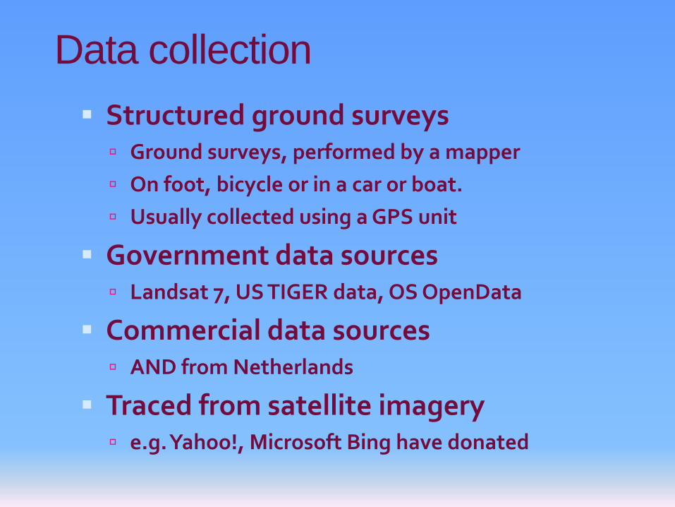
Data collection
Structured ground surveys Ground surveys, performed by a mapper
On foot, bicycle or in a car or boat.
Usually collected using a GPS unit
Government data sources Landsat 7, US TIGER data, OS OpenData
Commercial data sources AND from Netherlands
Traced from satellite imagery e.g. Yahoo!, Microsoft Bing have donated

Objective data
OSM is a store of objective data
Everything must be verifiable
Subjective data is not welcome
Subjective assessment is the realm of the user of the data E.g. Cycle journey planner decides on the likely
niceness of a street based on objective attributes like speed limit, width, surface quality
My cycle to work would be different to my mum’s: we have different preferences for a ‘good’ route

OpenStreetMap
ITO World animation 'OSM 2008 - A Year of Edits'

Data collection
Mapping takes placeindividually or in groups
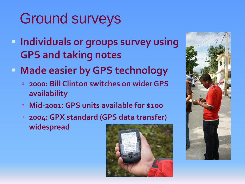
Ground surveys
Individuals or groups survey using GPS and taking notes
Made easier by GPS technology 2000: Bill Clinton switches on wider GPS
availability
Mid-2001: GPS units available for $100
2004: GPX standard (GPS data transfer) widespread
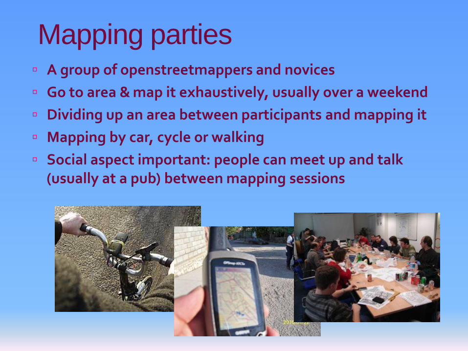
Mapping parties A group of openstreetmappers and novices
Go to area & map it exhaustively, usually over a weekend
Dividing up an area between participants and mapping it
Mapping by car, cycle or walking
Social aspect important: people can meet up and talk (usually at a pub) between mapping sessions

Mapping parties
e.g. Walking Papers: Print current state, annotate, load back in http://walking-papers.org/

Social context
Social context important Community decides on data collection and structure norms
appropriate to their situation
The mapkibera project is training locals people of Kibera, Nairobi to create a map with OpenStreetMap
Technologies used depend on circumstances

Social context
Importing other people’s data? Massive debate within the OpenStreetMap community
(Assumes donated data is compatibly licensed)
One view: importing data gives the impression that an area doesn’t need to be mapped in person and reduces volunteer input
TIGER data import in US very problematicalhttp://www.slideshare.net/harrywood/wherecampeu-session-state-of-the-states-in-openstreetmap
Another view: importing data gives a massive head-start and means we can get into much more detailed mapping
Data creators vs Data consumers have different perspectives
CycleStreets needs a reasonably complete map!

Social context
Is objectivity always possible? WikiProject Gaza
Practical issues
How do you represent a location where only some people can enter/exit?

Social context
How do you represent a location where only some people can enter/exit?

Social context Crisis Mapping:
WikiProject Haiti
Before January 12, 2010
Then NOAA, GeoEye, DigitalGlobe flew planes over the area, and donated their imagery for tracing purposes People around the world at their computers contributed to effort
Roads, buildings and refugee camps of Port-au-Prince mapped in just two days
“The most complete digital map of Haiti's roads”

Haiti The resulting data & maps have been used by
several organisations providing relief aid, such as the World Bank, the European Commission Joint Research Centre, the Office for the Coordination of Humanitarian Affairs, UNOSAT, others

Informal data structure
No formal specification of how to represent things
No database schema – just key-value pairs
Reflects the social context of the users
Users make it up as they go along
Communities of interest norms
Conventions established, then stability
User/collector cycle embeds the convention

Informal data structure
Nodes & Ways, Tags
http://wiki.openstreetmap.org/wiki/Map_Featuresdescribes the (many) conventions formed so far
Examples Motorway represented as: “highway=motorway”
Local street: “highway=residential”
Guided bus! “highway=bus_guideway”
Fence: “barrier=fence”
Cycleway: “highway=cycleway”. But what type?
“cycleway=lane”
“cycleway=track”
“cycleway=opposite_lane”
POIs: “amenity=postbox”, “shop=charity”
Not to forget... “amenity=pub”

Adding data
Potlatch 2 – www.openstreetmap.org (www.geowiki.com)

Adding data
Potlatch 2 – www.openstreetmap.org (www.geowiki.com)

Potlatch 2 editor
[Quick demo]
http://www.cyclestreets.net/edit/

Adding data
JOSM – Java OpenStreetMap Editor – advanced users

Adding data
ArcGIS plugin for OpenStreetMap (free)
The ArcGIS Editor provides:• Simple tools to upload and download OSM data • An OSM-compatible geodatabase schema to locally store OSM data • An OSM symbology template for faster editing • Conflict-resolution tools for reconciling data back to the OSM database

OSM vs Google MapsGoogle often doesn’t have information needed by cyclists/walkers – park paths, cut-throughs, pubs!
Google doesn’t provide any data – just a picture
OSM Google maps

OSM vs Ordnance Survey Depends what scale
Question is intended use
“Good enough” notion OSM will never be good
enough for utility companies needing exact location of pipes
But for many other uses, appropriate and good enough
Sutton Coldfield B72:

OSM vs Ordnance Survey
Costs money – not free
Big difference is the license –not free (libre)
Plot points on a map and theOS claim some rights to that
Derivative data issues
Major problem in the age of the internet, where data is being shared, mixed, repurposed
By contrast, OSM uses a Creative Commons license


Challenge to traditional mapping agencies
OSM and internet sharing more generally forcing a change in business models
Ordnance Survey seeing more competition
Lowering data use costs
Lowering data collection costs
Forcing derivative data restrictions to be removed
Challenge in the small scale map data area

Opens new opportunities
Businesses like Microsoft, Google and others presumably spend a small fortune on mapping data
Bing Maps (Microsoft) and MapQuest (AOL) now actively putting money and resources into OSM project
OSM provides them with a cheaper way of providing data with far fewer restrictions

Quality assurance issues
Can we trust the data?
Depends whether it’s ‘good enough’ for your use
Can we trust formalised data?
Tales of lorry satnavs for instance
Balance between accuracy and speed/volume
Arbury Park was in OSM as it was built – OS slower
Quality around the country variable
How can we ascertain this?
Vandalism
But there’s the ability to watch an area for changes
More people = more vigilance or more vandalism?

Challenge to traditional cartography
Cartography is a major area of interest within the OpenStreetMap community
Cartography is becoming more automated as Web 2.0 steams ahead
http://maps.cloudmade.com/

Cloudmade map renderer demo
[Quick demo]
http://maps.cloudmade.com/Click ‘Edit map style’
Click on a design to start fromClick ‘Clone Style’ in the bottom-right
Use the ‘Object Visibility’ boxon the right to remove/add features

At the heart of the OpenStreetMap project is a database holding all the map data that people work with.
Left: editors people use to enter data into the database
Right: all sorts of interesting uses for the data, e.g. ...
OpenStreetMap ecosystem

Non-commercial
Commercial / profit-making use absolutely fine As long as people adhere to the license, i.e. give attribution and
allow downstream users to share/re-use the data
Maps of very many kinds
Web routing
SatNav devices
Data analysis (e.g. accessibility analysis)
Placefinding
GPS background
Humanitarian
...
OpenStreetMap uses

CycleStreets Cycle journey planner

Journey planner: features
Plan route from A-B, anywhere in UK
Simplest possible interface Click-click-plan, and simple Namefinder
Gives set of route choices (fastest, quietest, balanced)
Takes accounts of hills (uses NASA SRTM)
Turn-by-turn directions
Photos-en-route

CycleStreets Journey planner
[Quick demo]
http://www.cyclestreets.net/

Journey planner: features
Shows distance, time, CO2, soon: calories
Google Street View at any point
Feedback system
Localised versions for easy linking E.g. cambridge.cyclestreets.net
Link methods E.g. www.cyclestreets.net/journey/to/cb1+2py/
‘Fly in Google Earth’
Export to GPS

Photomap

Photomap: features
Icons on map (per type of feature)
Click to view image and info
Add photo
Crowdsourcing: lots of people, but each donating a small effort
Categorisation
E.g. “Show me all the cycleparking problems inCambridge”

Mobile
Key features on small screen
iPhone app out
Android under development
Generic mobile web version under development

Mobile
Other apps now incorporating our routing
Data interface
Bike Hub – great world-first iPhone bike real-SatNav
In the leading Boris Bike app, ‘London Cycle’

Why?
Fundamentally, we want to see “More people cycling, more safely, more often”
New cycle users face many challenges in UK:
Poor infrastructure, traffic hostility
Confidence cycling (address with training)
Cultural/identity issues: not yet mainstream
Lack of utility bikes in shops
Routes – different to car routes!
We try to tackle the last problem
... and the first (through the Photomap)

How it works (briefly)
1. Data comes from people collectingdata on-street for OpenStreetMap
Factual data only – e.g.presence of road
NOT “This is a nicecycle route”
2. We take OSM data ‘off the shelf’
Though we’re part of the community in practice
Import each week (daily in ideal world): fresh data
Conversion process is complex – understanding the data

How it works (briefly)
3. Score eachtype of path:
4. Take account of hills (add/remove penalty)
5. Account for turn delays (work ongoing)
6. Take account of detailed cyclist behaviour (ditto)

How it works (briefly)
7. Compress the network, to make the system much faster (system called ‘Cello’):
Park: 4 nodes & 7 ways After: 3 nodes & 3 ways
89
9
A
BC
D
A
BC
4
10
6
3
6: BC
7: AD,BD9: AC

How it works (briefly)
So each path / road / shortcut / etc.now has a score
Higher score = worse for cycling (more ‘friction’)
8. Find the lowest total score from A to B
Standard problem incomputer science, we use A* method
9. Route is found
10. Repeat for quietest, fastest modes – each have different scores
11. Routes shown to user

Route feedback goes to OSM contacts

OpenStreetMap Lots of different renderings
We are using OpenCycleMap by Andy Allan Cloudmade serves ‘tiles’ which form a static background once a route
has been planned – i.e. we just put this behind a line we havecalculated

CycleStreets: history
Cambridge-only cycle journey planner
Originally written for Cambridge Cycling Campaign
Launched June 2006
Google Map –based 5,000 lines drawn over
satellite imagery
Google doesn’t give youdata: just cartography
47,000 journeys planned
15,000 photos added

CycleStreets: history
Lots of requests for same thing in other places around the UK
Result is CycleStreets
We are using OpenStreetMap for our data
We don’t have money for an OS license
Went to public beta in March 2009
Over 500,000 journeys planned
Promotion ramping up this year
Key deficiencies being fixed

Transport Direct CJPwww.transportdirect.info/Web2/JourneyPlanning/FindCycleInput.aspx
£2.4 million (from tax)
92,000 journeys planned(dated Jan 2011)
£26.09 per journey
£1m – budget for 2011
32 areas (professionally surveyed)
CycleStreetswww.cyclestreets.net
£28k
458,000 journeys planned(dated Jan 2011, reached 500k on 22nd Feb 2011)
6p per journey
£130k needed
UK-wide (but depends on OSM completeness)

UKGovWe think cycle journey planning is more effective when done by local people using Open Data
So we are working to ensure that CycleStreets is the solution of choice

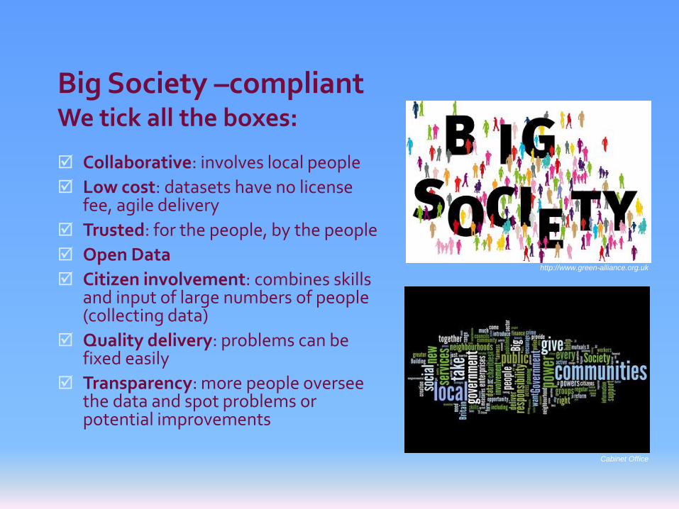
Big Society –compliantWe tick all the boxes:
Collaborative: involves local people
Low cost: datasets have no license fee, agile delivery
Trusted: for the people, by the people
Open Data
Citizen involvement: combines skills and input of large numbers of people (collecting data)
Quality delivery: problems can be fixed easily
Transparency: more people oversee the data and spot problems or potential improvements
http://www.green-alliance.org.uk
Cabinet Office

Currently main feature on data.gov.uk!

Local Authorities www.cyclestreets.net/localauthorities
http://cyclejourneyplanner.westsussex.gov.uk/


Difficulties we face with OSM
Lack of static IDs – unique numbers for features change – potential issue for the future
Lack of quality control: makes harder to engageLocal Authorities
Coverage not uniform
Vandalism a concern for some
Ability to engage local mappers when an area is deficient
Subjective data?
Many of these problems will go away as OSM matures

OpenStreetMap: Summary
Applies the Wikipedia approach of crowd-sourcing
Extremely flexible
Free (cost) and Free (libre)
Challenging traditional map agencies / business models and government funding models
Communities of interest and norms
Much scope for research
Varied uses: maps, electronic devices, humanitarian, ..
CycleStreets using it
As more data goes in, more uses, so more people add data, so more people use it, so ...