Embed Size (px)
Citation preview
+
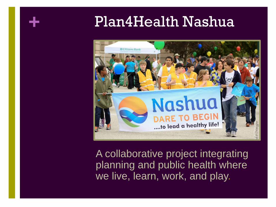
Plan4Health Nashua
A collaborative project integrating planning and public health where we live, learn, work, and play.
+
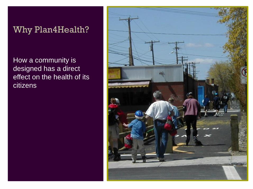
Why Plan4Health?
How a community is
designed has a direct
effect on the health of its
citizens
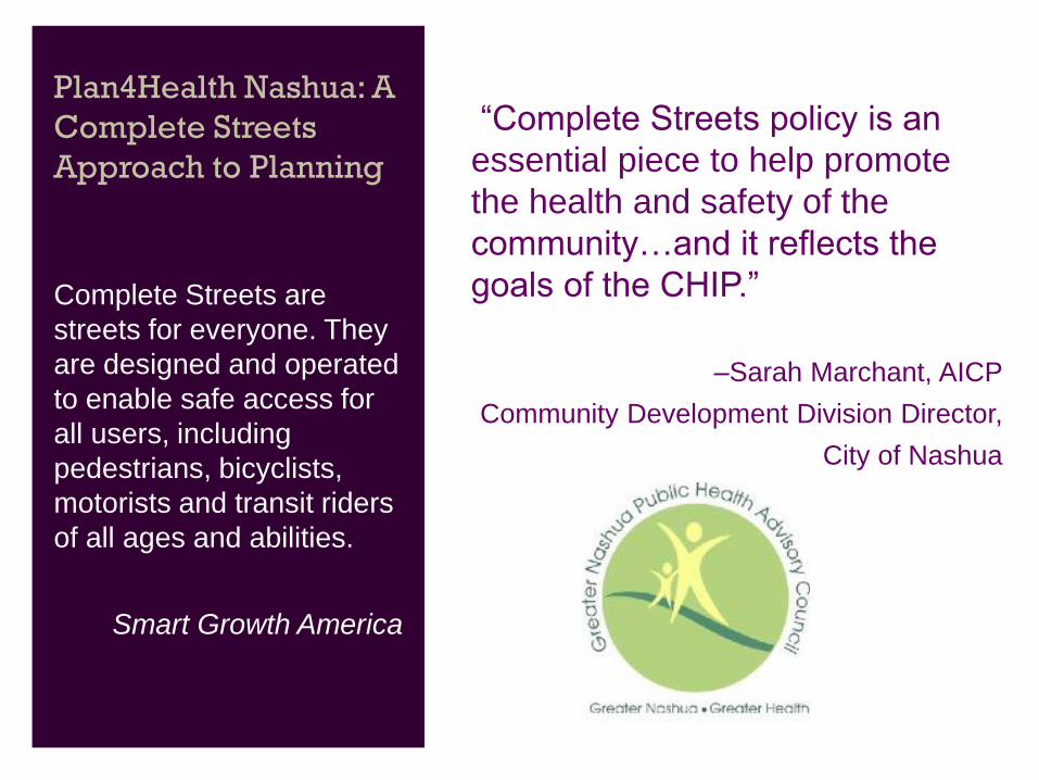
Plan4Health Nashua: A
Complete Streets
Approach to Planning
Complete Streets are
streets for everyone. They
are designed and operated
to enable safe access for
all users, including
pedestrians, bicyclists,
motorists and transit riders
of all ages and abilities.
Smart Growth America
“Our of economic status.
“Complete Streets policy is an
essential piece to help promote
the health and safety of the
community…and it reflects the
goals of the CHIP.”
–Sarah Marchant, AICP
Community Development Division Director,
City of Nashua
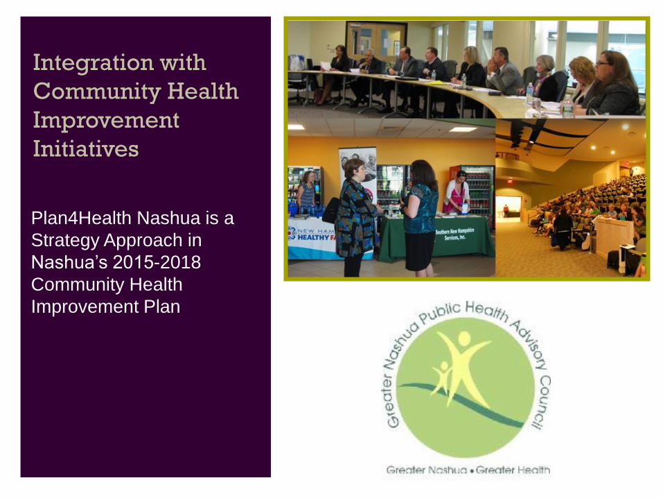
Integration with
Community Health
Improvement
Initiatives
Plan4Health Nashua is a
Strategy Approach in
Nashua’s 2015-2018
Community Health
Improvement Plan
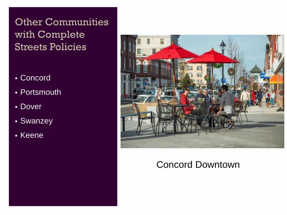
Other Communities
with Complete
Streets Policies
Concord
Portsmouth
Dover
Swanzey
Keene
Concord Downtown
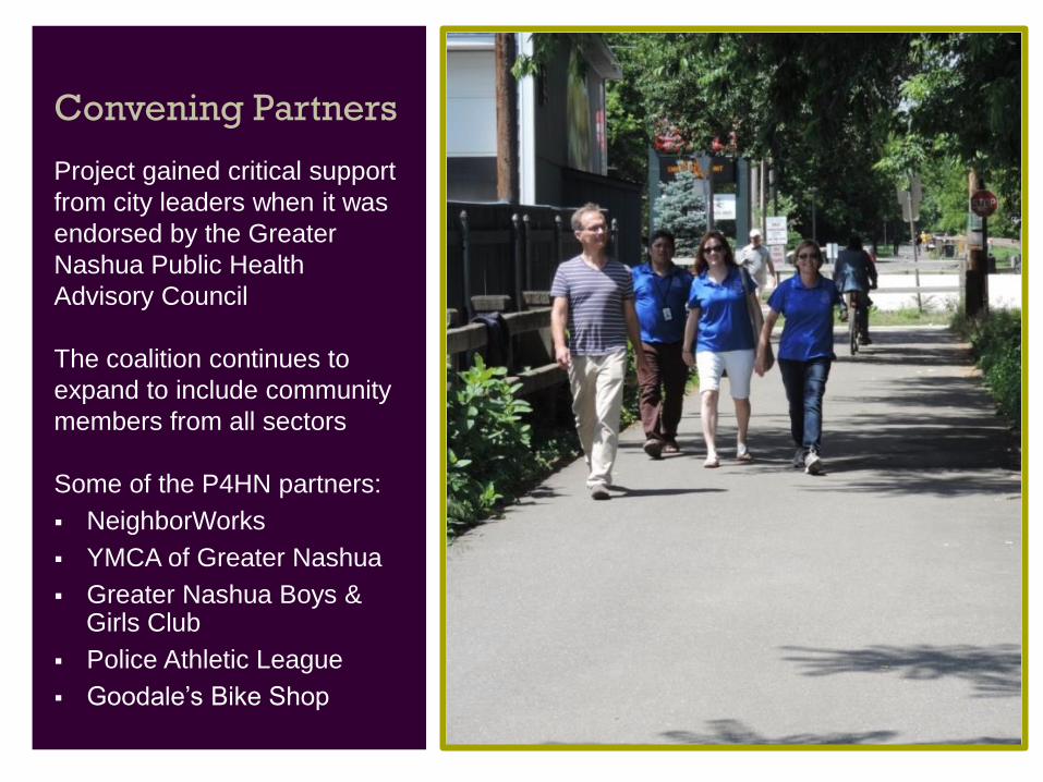
Convening Partners
Project gained critical support
from city leaders when it was
endorsed by the Greater
Nashua Public Health
Advisory Council
The coalition continues to
expand to include community
members from all sectors
Some of the P4HN partners:
NeighborWorks
YMCA of Greater Nashua
Greater Nashua Boys & Girls Club
Police Athletic League
Goodale’s Bike Shop
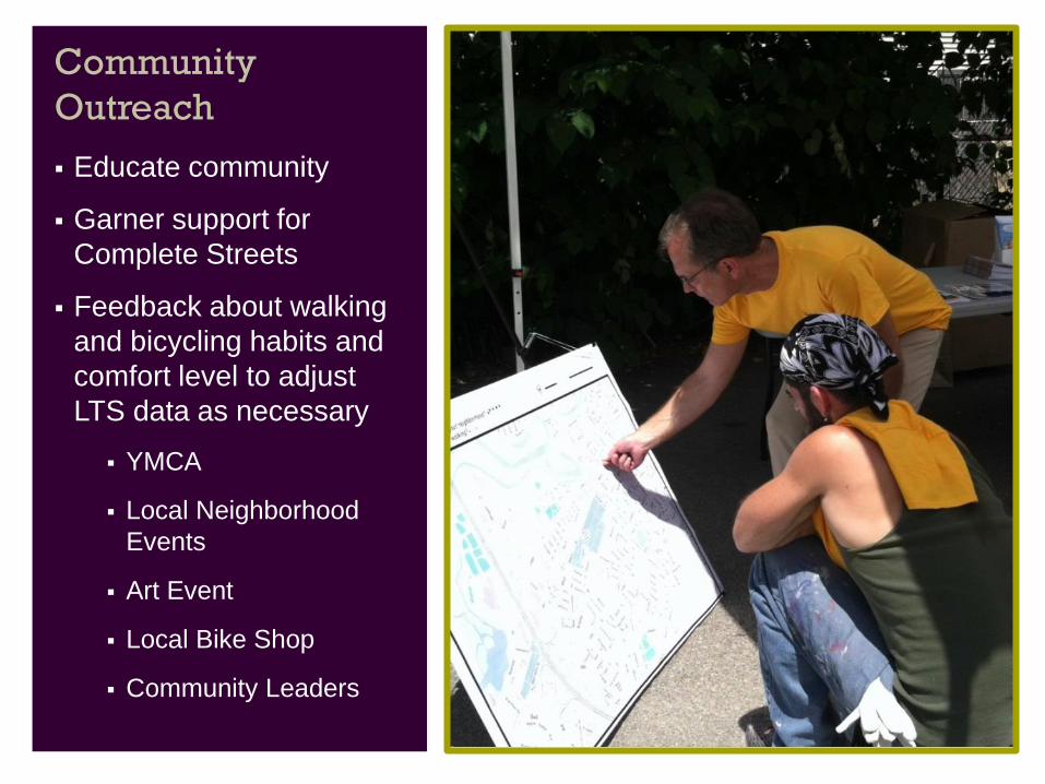
Community
Outreach
Educate community
Garner support for
Complete Streets
Feedback about walking
and bicycling habits and
comfort level to adjust
LTS data as necessary
YMCA
Local Neighborhood
Events
Art Event
Local Bike Shop
Community Leaders
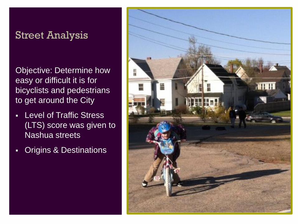
Street Analysis
Objective: Determine how
easy or difficult it is for
bicyclists and pedestrians
to get around the City
Level of Traffic Stress
(LTS) score was given to
Nashua streets
Origins & Destinations
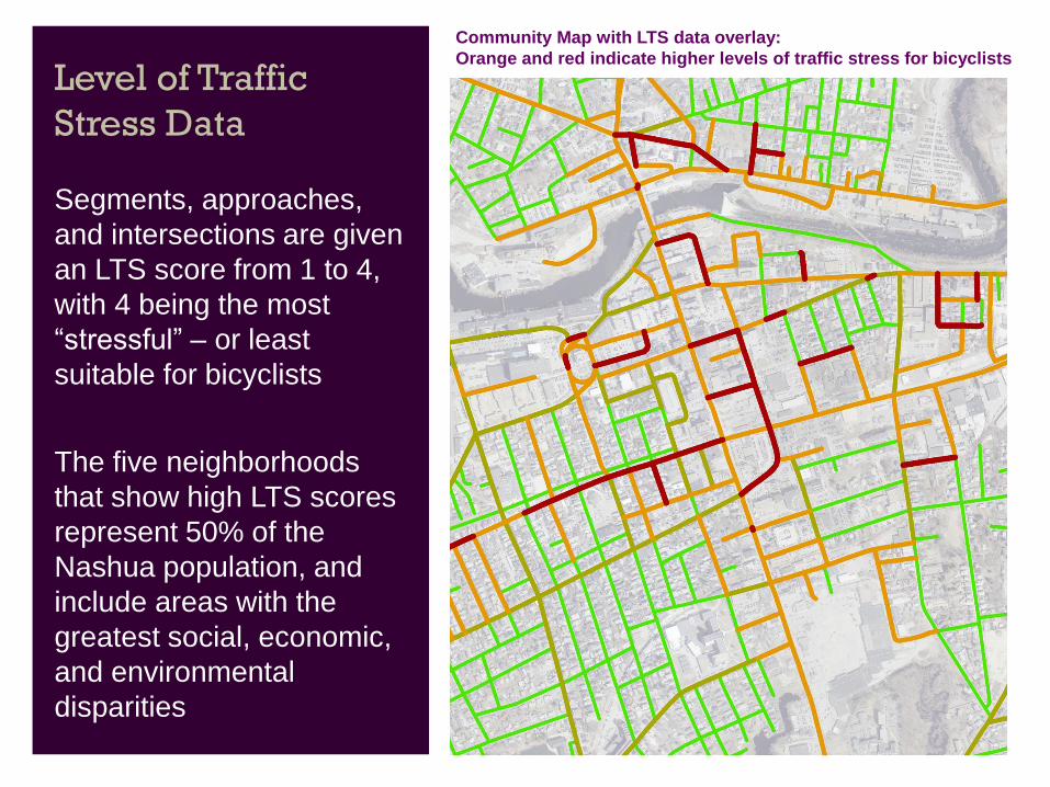
Level of Traffic
Stress Data
Segments, approaches,
and intersections are given
an LTS score from 1 to 4,
with 4 being the most
“stressful” – or least
suitable for bicyclists
The five neighborhoods
that show high LTS scores
represent 50% of the
Nashua population, and
include areas with the
greatest social, economic,
and environmental
disparities
Community Map with LTS data overlay:
Orange and red indicate higher levels of traffic stress for bicyclists
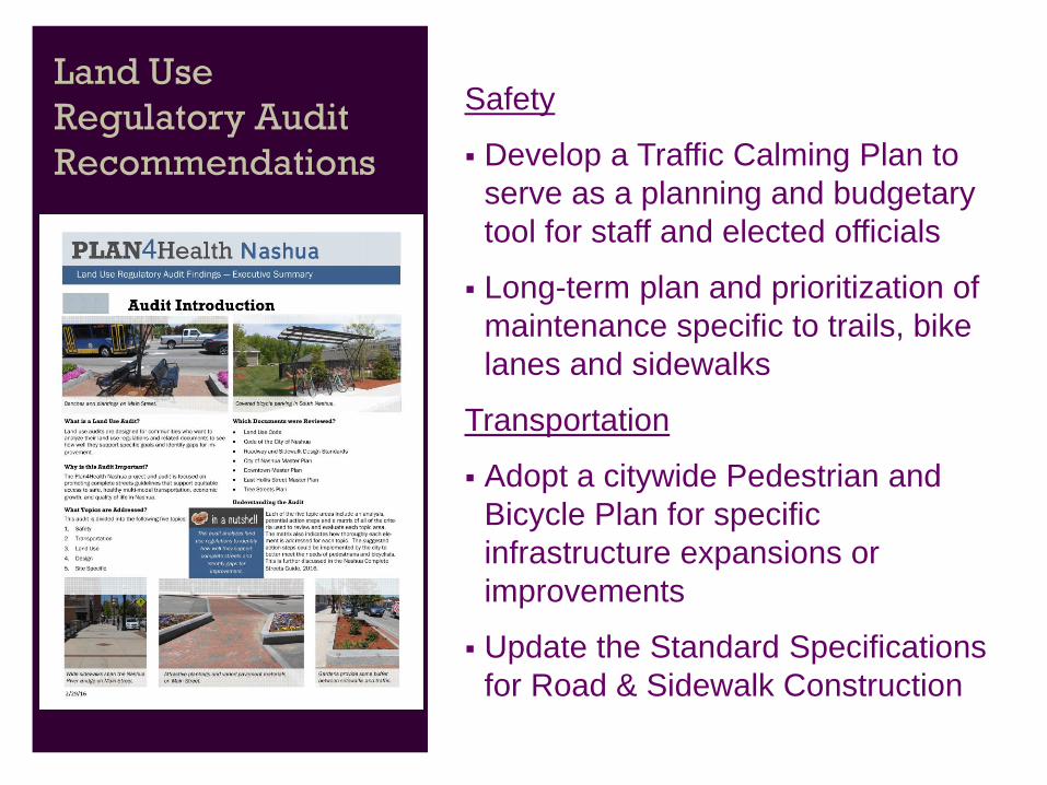
Land Use
Regulatory Audit
Recommendations
Safety
Develop a Traffic Calming Plan to
serve as a planning and budgetary
tool for staff and elected officials
Long-term plan and prioritization of
maintenance specific to trails, bike
lanes and sidewalks
Transportation
Adopt a citywide Pedestrian and
Bicycle Plan for specific
infrastructure expansions or
improvements
Update the Standard Specifications
for Road & Sidewalk Construction
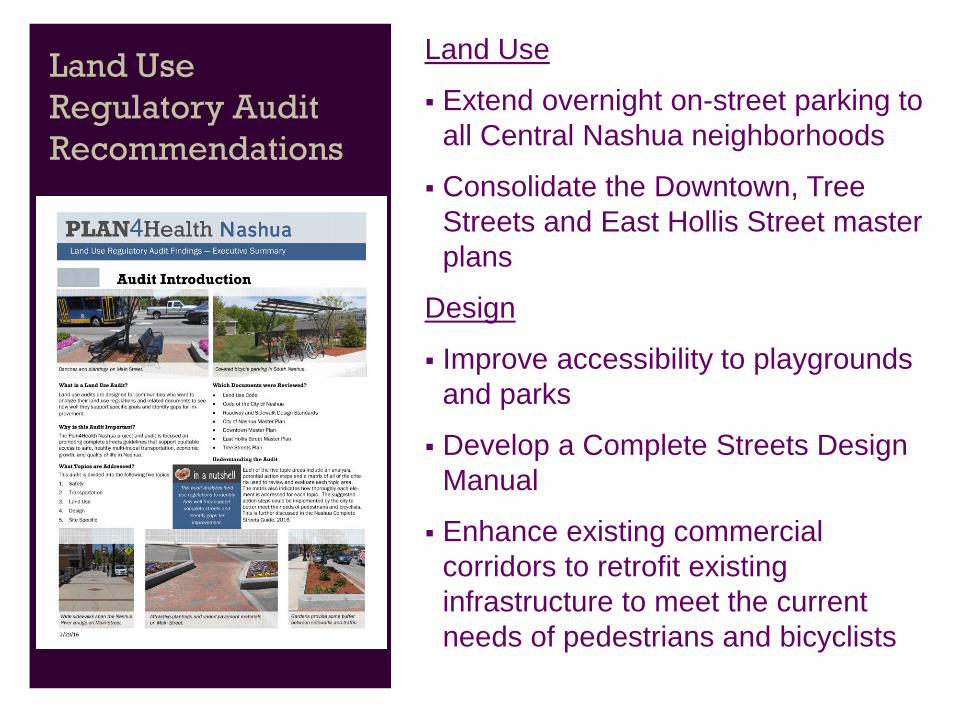
Land Use
Regulatory Audit
Recommendations
Land Use
Extend overnight on-street parking to
all Central Nashua neighborhoods
Consolidate the Downtown, Tree
Streets and East Hollis Street master
plans
Design
Improve accessibility to playgrounds
and parks
Develop a Complete Streets Design
Manual
Enhance existing commercial
corridors to retrofit existing
infrastructure to meet the current
needs of pedestrians and bicyclists
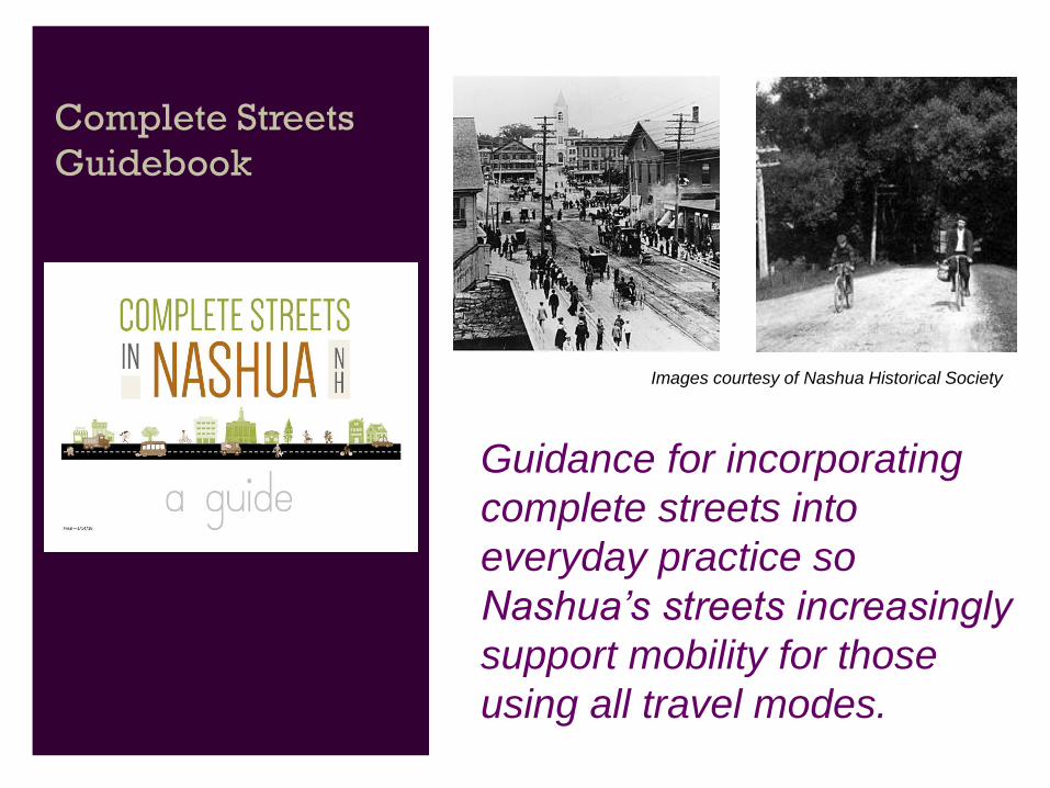
Complete Streets
Guidebook
Guidance for incorporating
complete streets into
everyday practice so
Nashua’s streets increasingly
support mobility for those
using all travel modes.
Images courtesy of Nashua Historical Society
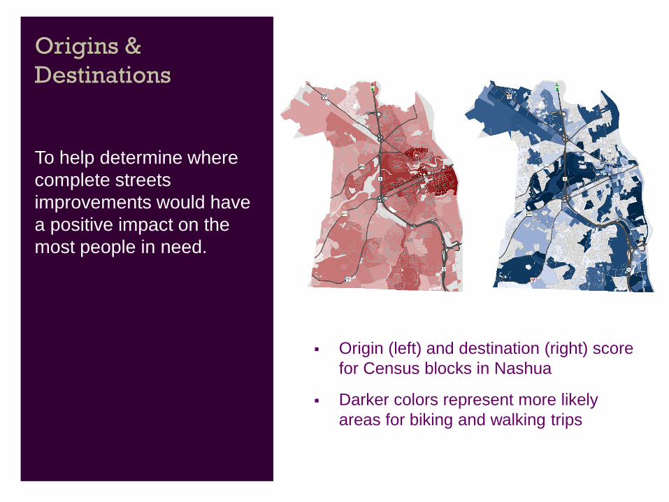
Origins &
Destinations
To help determine where
complete streets
improvements would have
a positive impact on the
most people in need.
Origin (left) and destination (right) score
for Census blocks in Nashua
Darker colors represent more likely
areas for biking and walking trips

Connectivity
Islands
Bronstein Apartments
Finding corridors and
broken connections along
high-demand routes can
lead to recommended
complete streets
improvements in order to
safely get walkers and
bicyclists where they want
to go.
Connectivity
Islands
Target Study Areas:
Bronstein Apartments
Dr. Crisp School
Greely Park
Royal Crest
Riverside Street
Amherst Park Apartments
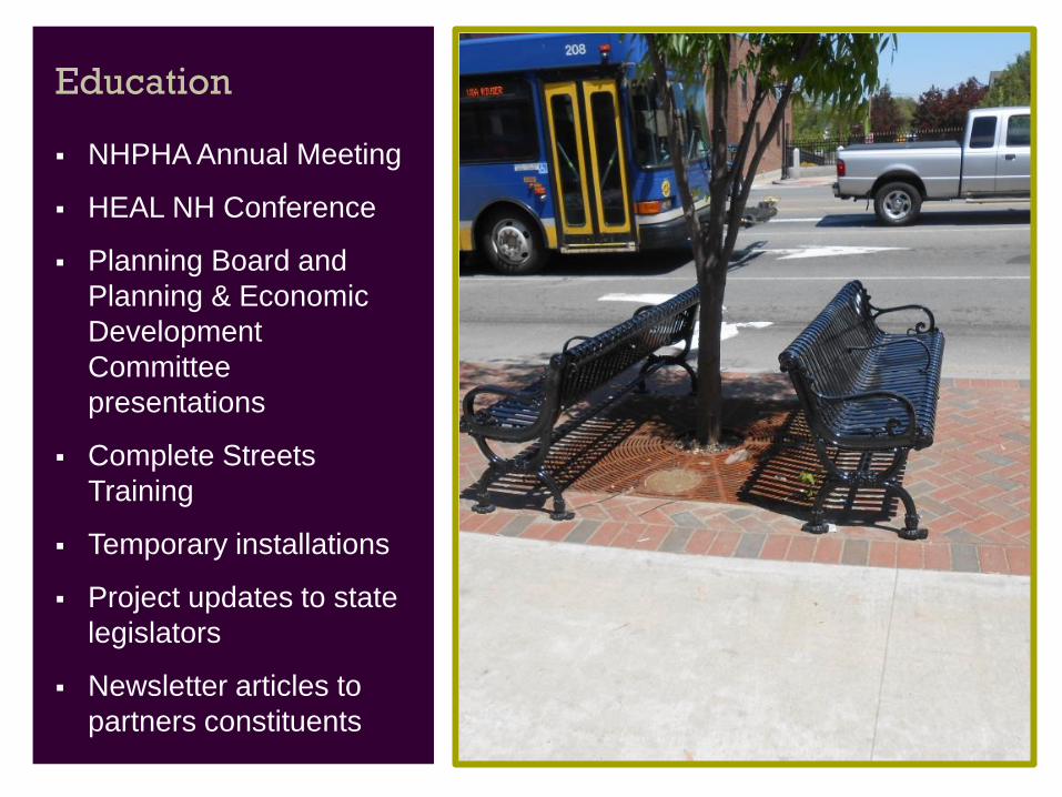
Education
NHPHA Annual Meeting
HEAL NH Conference
Planning Board and
Planning & Economic
Development
Committee
presentations
Complete Streets
Training
Temporary installations
Project updates to state
legislators
Newsletter articles to
partners constituents
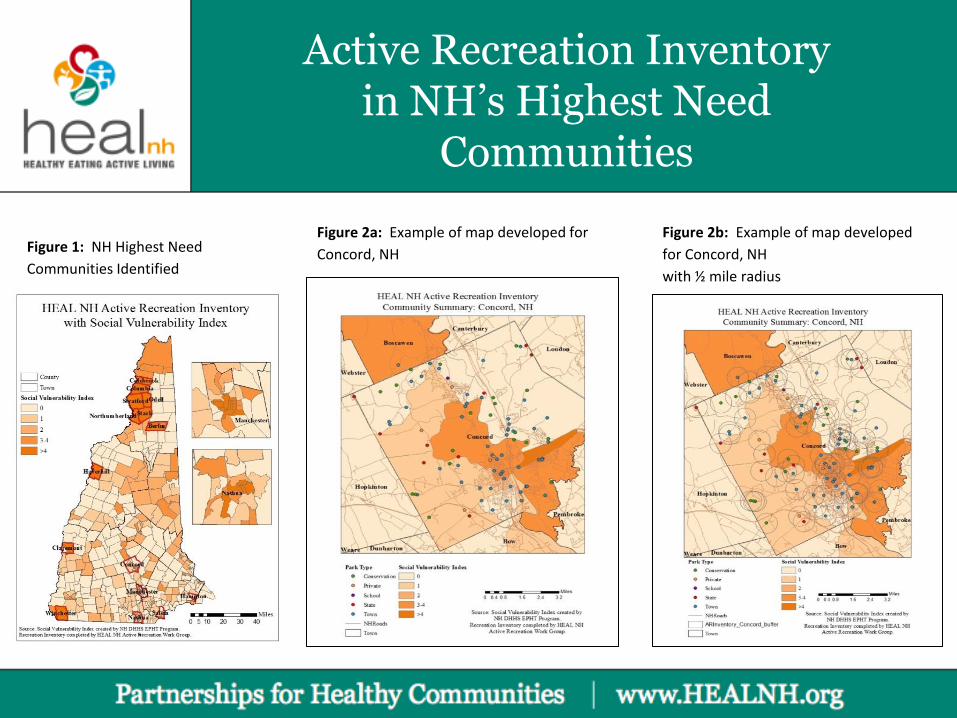
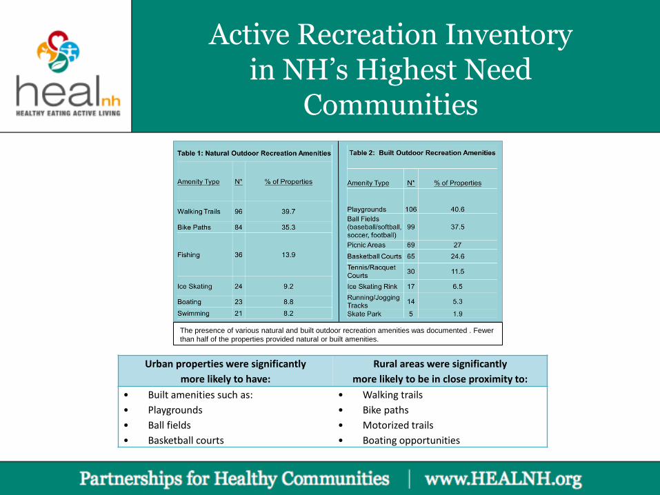
Active Recreation Inventory in NH’s Highest Need
Communities
Figure 1: NH Highest Need
Communities Identified
Figure 2b: Example of map developed
for Concord, NH
with ½ mile radius
Figure 2a: Example of map developed for
Concord, NH
Active Recreation Inventory in NH’s Highest Need
Communities
The presence of various natural and built outdoor recreation amenities was documented . Fewer
than half of the properties provided natural or built amenities.
Urban properties were significantly
more likely to have:
Rural areas were significantly
more likely to be in close proximity to:
• Built amenities such as:
• Playgrounds
• Ball fields
• Basketball courts
• Walking trails
• Bike paths
• Motorized trails
• Boating opportunities
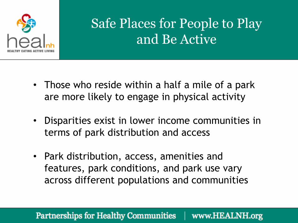
Safe Places for People to Play and Be Active
• Those who reside within a half a mile of a park
are more likely to engage in physical activity
• Disparities exist in lower income communities in
terms of park distribution and access
• Park distribution, access, amenities and
features, park conditions, and park use vary
across different populations and communities
Safe Places for People to Play and Be Active
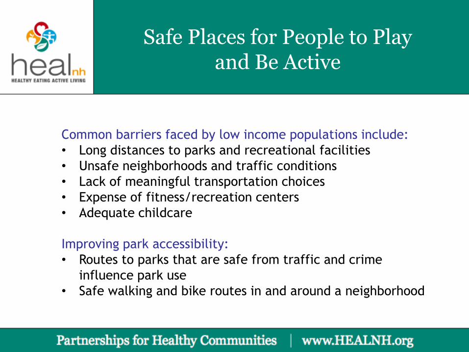
Common barriers faced by low income populations include:
• Long distances to parks and recreational facilities
• Unsafe neighborhoods and traffic conditions
• Lack of meaningful transportation choices
• Expense of fitness/recreation centers
• Adequate childcare
Improving park accessibility:
• Routes to parks that are safe from traffic and crime
influence park use
• Safe walking and bike routes in and around a neighborhood
Safe Places for People to Play and Be Active
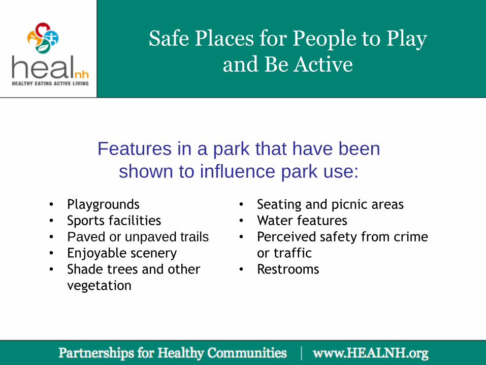
Features in a park that have been
shown to influence park use:
• Playgrounds
• Sports facilities
• Paved or unpaved trails
• Enjoyable scenery
• Shade trees and other
vegetation
• Seating and picnic areas
• Water features
• Perceived safety from crime
or traffic
• Restrooms