Embed Size (px)
Citation preview

Faculty of Engineering Technology
& Research. Isroli, Afwa.

Name Enrollment no Roll no
Khunt Kanthan L. 130840106018 11
Bavasiya Milan J. 130840106003 16
Babariya Chirag H. 130840106002 19
Vala Jitu M. 130840106063 24
Dabhi Nitin M. 130840106011 12
Patel Hetul P. 130840106034 25
Shera Parshant 130840106059 38
Civil 13 group. no 2
Guided by
- Mr. Shivang Dabhi
-Miss Ankita Upadhyay

Surveying and leveling

Surveying is the art and sciences of determining of the relative position of different points or stations on the surface of the surface of the earth by measuring the horizontal and vertical distances, angle, and taking in details of this points and by preparing map or plan for the suitable scale.
Leveling is the branch of surveying which deals with the measurement of the relative highest of different points on or below the surface of the earth.
Surveying include measurements of distance and angles in horizontal and vertical plane and leveling is the measurements of highest in vertical plane.
Introduction of surveying and leveling
Chain, tape, compass, level and theodolite are instruments use for surveying. Surveying fixes the relative position of different points and station on the surface of the earth. It also includes measurement of area and volumes.Basic aim of surveying is to prepare a map or plan to some scale. It is carried out to fix alignment of road, railway and canal. It is also useful in selecting the site for the construction of structure. Electronics total station and Global Positioning System (GPS) are the modern electronic digital instruments for the surveying work. Remote sensing and Geographical Information System (GIS) are adopted for Surveying and planning of many civil engineering projects.

The object of surveying is to prepare a map or plan to show relative position of points or the object on the surface of the earth.
The map or plan is draw to some suitable scale. It shows the boundaries of districts, state and countries too.
It is also include details of different engineering features such as building, roads, railways, dams, canals etc.
OBJECTIVE OF SURVEYING

Surveying may be use for the following properties
i. To prepare cadastral map ii. To prepare an engineering map iii. To prepare the contour map iv. To prepare military map v. To prepare geological map,
archeological map etc.
USES OF SURVEYING

We know that the shape of surface of earth is spherical.
Thus, the surface is obviously curved. Surveying is primarily divided into two types considering the curvature of earth’s surface.
PRIMARY DIVISION OF SURVEYING
i. Plans Surveyingii. Geodetic
surveying

Plane surveying& Geodetic surveying

Different between plan surveying and geodetic surveying
NO. Plan surveying Geodetic surveying
1. The earth surface is considered as a plane surface.
The earth surface is considered as a curved surface
2. The curvature of earth surface is ignored.
The curvature of earth surface is taken in account.
3. Line joining any two points is considered to be straight.
Line joining any two points is considered to be curve.
4. The triangle formed by any three points is considered as a plane triangle.
The triangle formed by any three points is considered as a spherical triangle.
5. The angle of triangle is considered as plane angle.
The angle of triangle is considered as spherical angle.
6. Carried out for a small area <250km2
Carried out for a large area >250km2

Two basic principles of surveyingi. Always work from the whole to the partii. To locate a new station by at least two
measurement form fixed reference points
FUNDAMENTAL PRINCIPAL OF SURVEYING

1.Always work from the whole to the part

2.To locate a new station by at least two measurements from fixed

Classification of Surveying
Based on Instrume
nt
Based on Methods
Based on Purposes
Based on nature of
field

a. Chain Surveyb. Compass Surveyc. Chain and Compass Surveyingd. Plane Table Surveye. Theodolite Survey f. Tachometry Survey g. Leveling Surveyh. Photogrammetric Survey i. EDM Survey
1. Classification based upon Instrument

This is the
simplest type
of surveying
in which only
linear
measurement
are made
with a chain
or a tape.
Angular
measurement
are not
taken.
The chain surveying
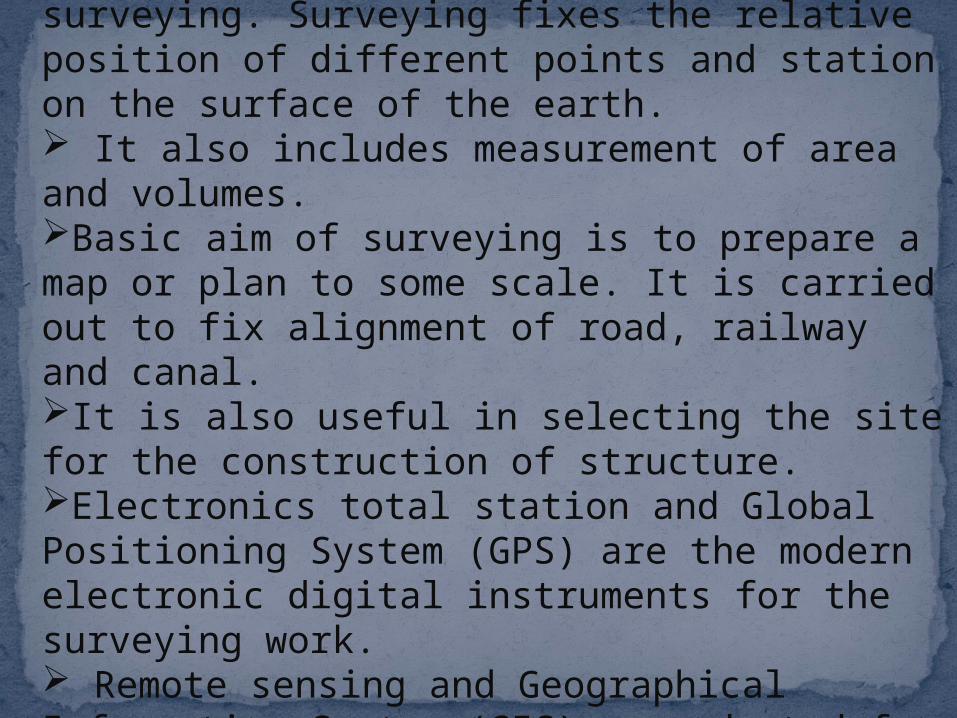
It has very important and critical application in the military. Aerial surveys are conducted for this purpose. It is conducted to locate strategic positions for the purpose of army operations.
The compass survey

compass
Chain or compass survey
chain

It is a graphical method of surveying in which field works and plotting both are done simultaneously
Plane or table survey

In
theodolit
e survey,
the
horizonta
l angles
are
measured
with
theodolit
e more
precisely
than
compass
and the
linear
measure
ment
made
with a
chain or
tape.
The theodolite survey
In theodolite survey, the horizontal angles are measured with a theodolite more precisely than compass and the linear measurements are made with a chain or a tape.
A special type of theodolite known as tachometer is used to determine Horizontal and vertical distance indirectly.
The tacheometry survey

This type of survey is used to determine the vertical distances
and relative Heights of points with the help of an instrument
known as level.
Leveling survey
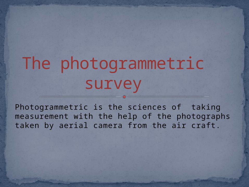
Photogrammetric is the sciences of taking measurement with the help of the photographs taken by aerial camera from the air craft.
The photogrammetric survey

In this type of survey, all measurements are made with the help of EDM instrument.
EDM survey
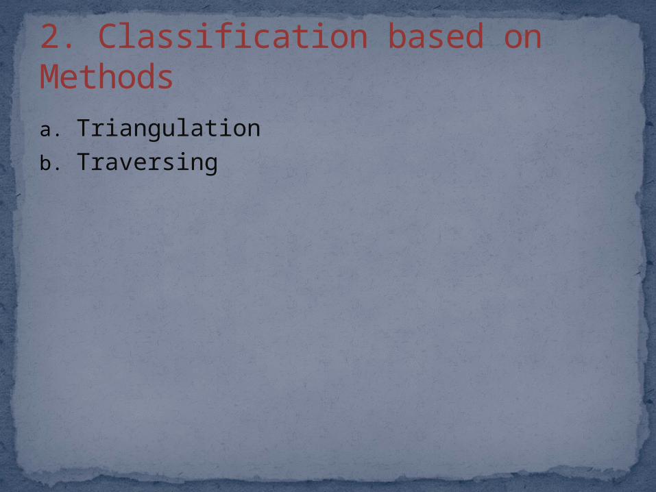
a. Triangulationb. Traversing
2. Classification based on Methods

a. Geological Surveyb. Mine Survey c. Archaeological Surveyd. Military Survey
3. Classification based on Purpose
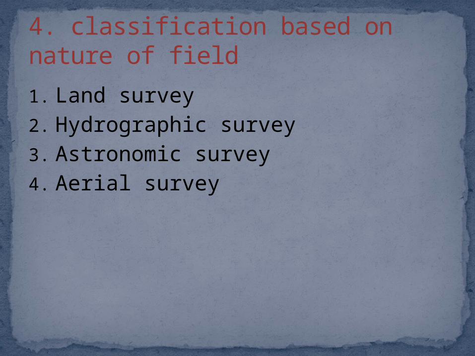
1. Land survey2. Hydrographic survey3. Astronomic survey4. Aerial survey
4. classification based on nature of field

One of the basic objectives of surveying is to prepare plans and maps.
PLANS AND MAPS
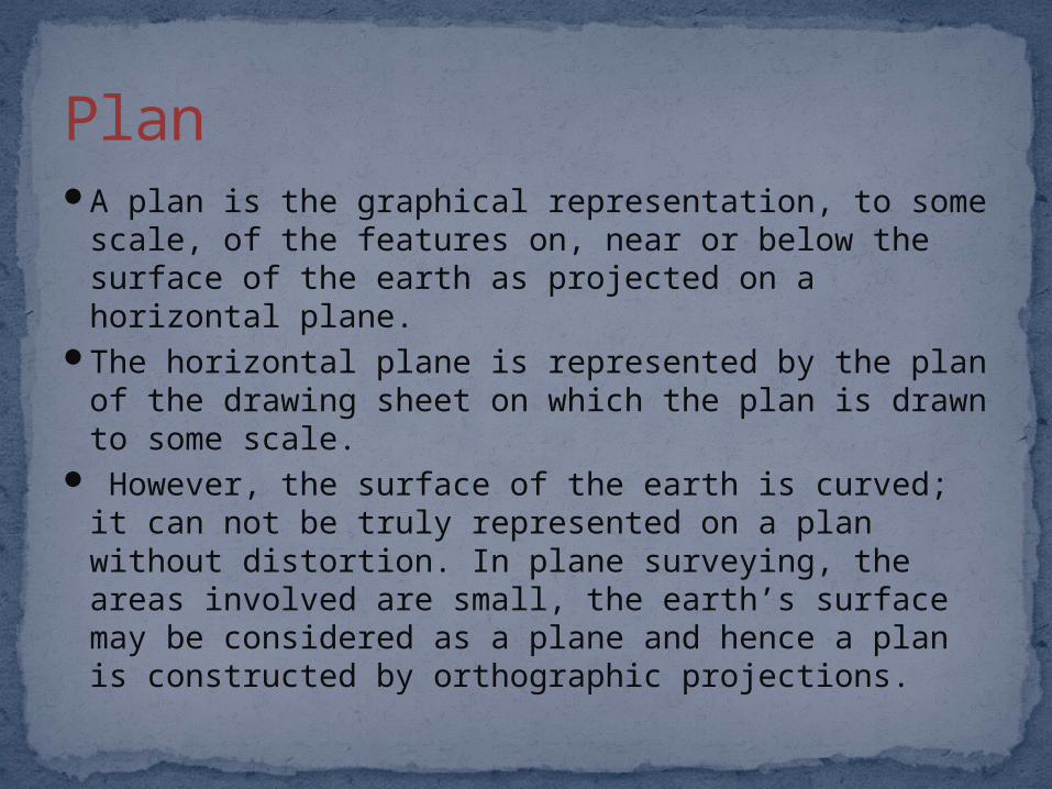
A plan is the graphical representation, to some scale, of the features on, near or below the surface of the earth as projected on a horizontal plane.
The horizontal plane is represented by the plan of the drawing sheet on which the plan is drawn to some scale.
However, the surface of the earth is curved; it can not be truly represented on a plan without distortion. In plane surveying, the areas involved are small, the earth’s surface may be considered as a plane and hence a plan is constructed by orthographic projections.
Plan

If the scale of the graphical projection on a horizontal plane is small, the plane is called a map. Thus graphical representation is called a plan if the scale is large while it is called a map if the scale is small.
MAP

It is the basic requirement for the preparation of plans or maps.
Scale is used to represent large distance on paper. The ratio by which the actual length of the object is reduced or increased in the drawing is known as ‘scale’.
For an example, if 1 cm on a map represents a distance of 10 meters on the ground, the scale of the map is said to be 1 cm = 10 m.
SCALE

The ratio of the distance on the drawing to the corresponding actual length of the object on the ground is known as the representative fraction. i.e.
RF= distance of object on drawing corresponding actual distance of object
on ground
Representative Fraction (RF)

Plain scaleDiagonal scaleChord scaleVernier scale
Types of scales

Plain scale

Diagonal scale
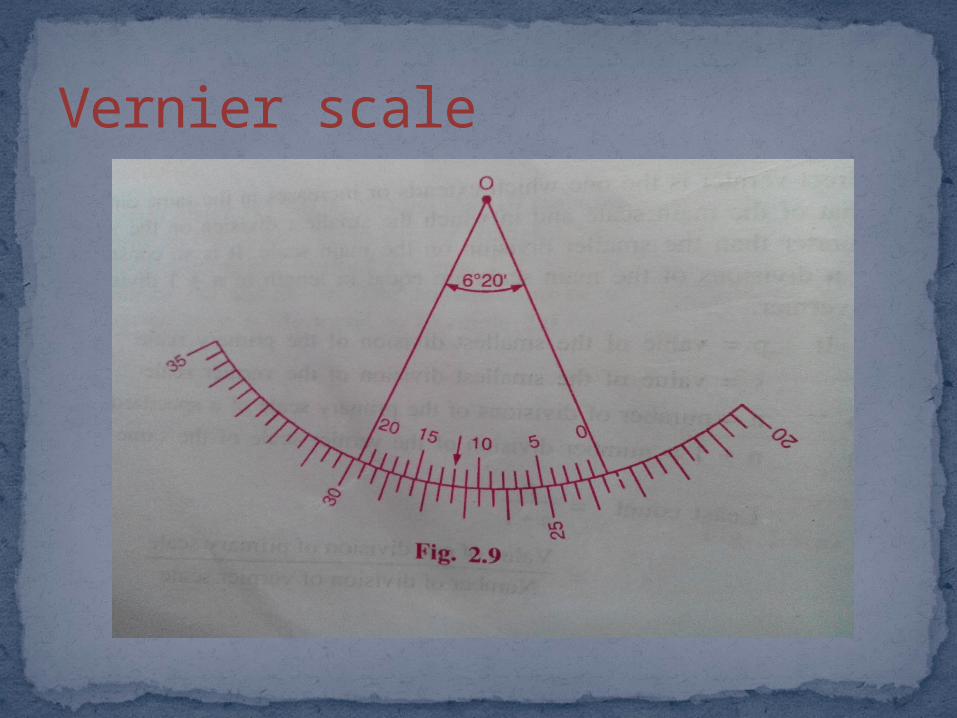
Vernier scale

ThankYou