Embed Size (px)
Citation preview
Maritime Domain Awareness Solutions for improved Maritime Safety and Operations
Steve J. NELLMarine Data Solutions
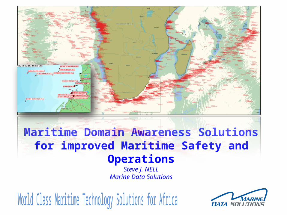
• Company overview• Challenges facing the Maritime Industry• Typical Maritime Supply Chain• Trends and Drivers of Maritime Technology• Maritime Domain Awareness Solutions (MDA)• Benefits of MDA • Conclusion
Presentation Contents
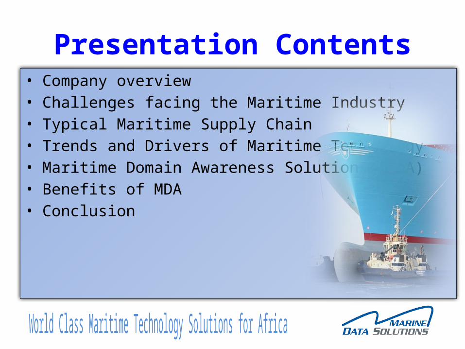
Our BusinessWe assist Maritime Authorities and Associated Industries to achieve their desired business objectives through the provision, maintenance and support of World Class Maritime Technology Solutions, such as Domain Awareness, Management Information Systems, Software Solutions, Docking Aid Systems, Aids to Navigation and Maritime Simulators
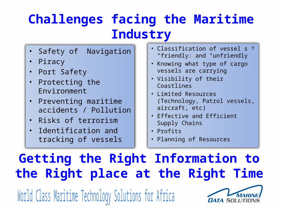
Challenges facing the Maritime Industry
• Safety of Navigation• Piracy• Port Safety• Protecting the Environment• Preventing maritime
accidents / Pollution• Risks of terrorism• Identification and tracking of
vessels
• Classification of vessel s - “friendly: and “unfriendly”
• Knowing what type of cargo vessels are carrying
• Visibility of their Coastlines• Limited Resources (Technology,
Patrol vessels, aircraft, etc)• Effective and Efficient Supply
Chains• Profits• Planning of Resources
Getting the Right Information to the Right place at the Right Time
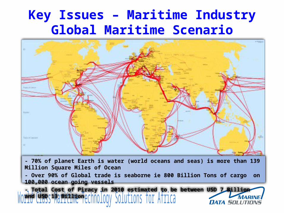
Key Issues – Maritime IndustryGlobal Maritime Scenario
- 70% of planet Earth is water (world oceans and seas) is more than 139 Million Square Miles of Ocean- Over 90% of Global trade is seaborne ie 800 Billion Tons of cargo on 100,000 ocean going vessels- Total Cost of Piracy in 2010 estimated to be between USD 7 Billion and USD 13 Billion
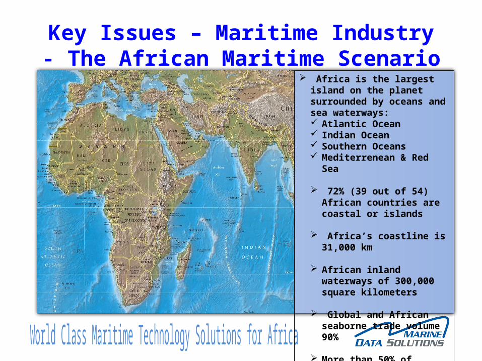
Key Issues – Maritime Industry- The African Maritime Scenario
Africa is the largest island on the planet surrounded by oceans and sea waterways: Atlantic Ocean Indian Ocean Southern Oceans Mediterrenean & Red Sea
72% (39 out of 54) African countries are coastal or islands
Africa’s coastline is 31,000 km
African inland waterways of 300,000 square kilometers
Global and African seaborne trade volume 90%
More than 50% of Africa’s GDP derives from trade
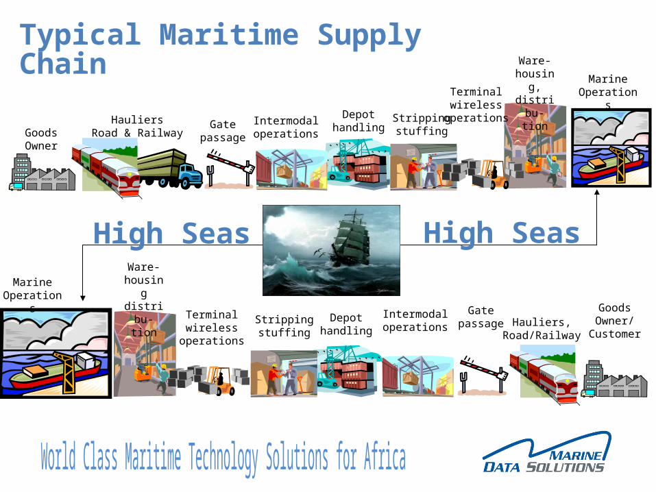
Intermodaloperations
Depothandling
Ware-housingdistribu-
tion GatepassageStripping
stuffing
Terminalwireless
operations
GoodsOwner/
CustomerHauliers,
Road/Railway
Marine Operations
GoodsOwner
HauliersRoad & Railway
Intermodaloperations
Depothandling
Ware-housing,distribu-
tion
Gatepassage
Strippingstuffing
Marine OperationsTerminal
wirelessoperations
Typical Maritime Supply Chain
High SeasHigh Seas
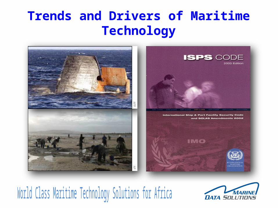
Trends and Drivers of Maritime Technology
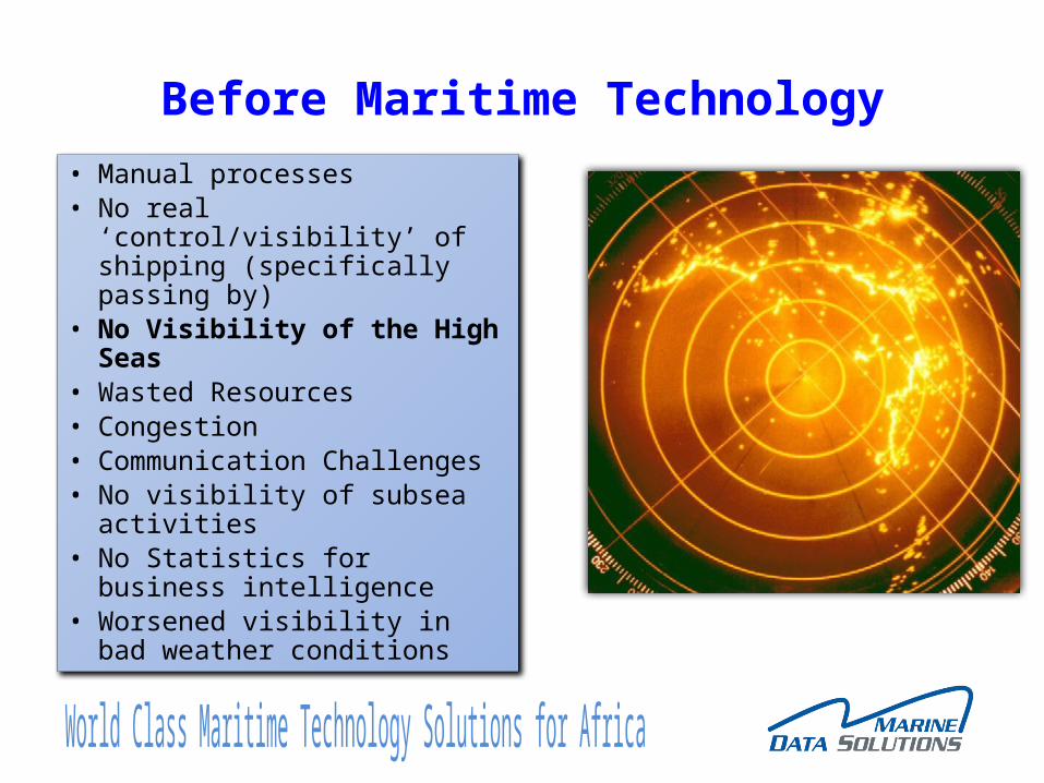
Before Maritime Technology
• Manual processes• No real ‘control/visibility’ of
shipping (specifically passing by)
• No Visibility of the High Seas• Wasted Resources• Congestion• Communication Challenges• No visibility of subsea activities• No Statistics for business
intelligence• Worsened visibility in bad
weather conditions
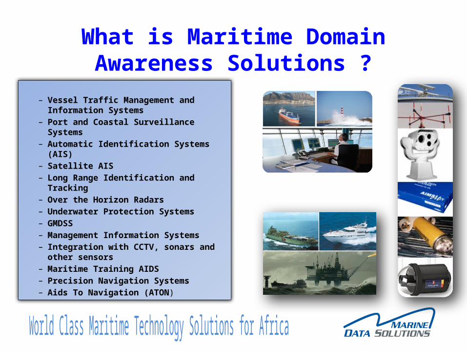
What is Maritime Domain Awareness Solutions ?
– Vessel Traffic Management and Information Systems
– Port and Coastal Surveillance Systems– Automatic Identification Systems (AIS)– Satellite AIS– Long Range Identification and Tracking– Over the Horizon Radars– Underwater Protection Systems– GMDSS– Management Information Systems– Integration with CCTV, sonars and other
sensors– Maritime Training AIDS– Precision Navigation Systems– Aids To Navigation (ATON)
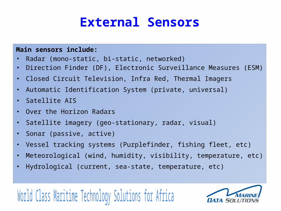
Main sensors include:• Radar (mono-static, bi-static, networked)• Direction Finder (DF), Electronic Surveillance Measures (ESM)
• Closed Circuit Television, Infra Red, Thermal Imagers
• Automatic Identification System (private, universal)
• Satellite AIS
• Over the Horizon Radars
• Satellite imagery (geo-stationary, radar, visual)
• Sonar (passive, active)
• Vessel tracking systems (Purplefinder, fishing fleet, etc)
• Meteorological (wind, humidity, visibility, temperature, etc)
• Hydrological (current, sea-state, temperature, etc)
External Sensors
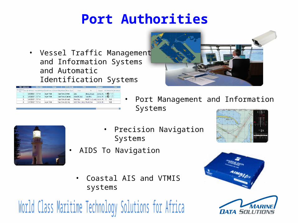
Port Authorities
• Vessel Traffic Management and Information Systems and Automatic Identification Systems
• Port Management and Information Systems
• Precision Navigation Systems
• AIDS To Navigation
• Coastal AIS and VTMIS systems
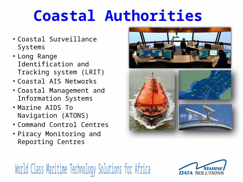
Coastal Authorities• Coastal Surveillance Systems• Long Range Identification
and Tracking system (LRIT)• Coastal AIS Networks• Coastal Management and
Information Systems• Marine AIDS To Navigation
(ATONS)• Command Control Centres• Piracy Monitoring and
Reporting Centres
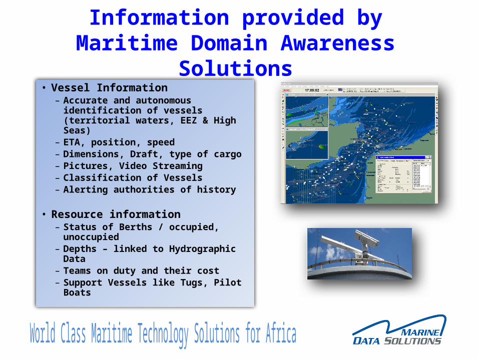
Information provided by Maritime Domain Awareness Solutions
• Vessel Information– Accurate and autonomous
identification of vessels (territorial waters, EEZ & High Seas)
– ETA, position, speed– Dimensions, Draft, type of cargo– Pictures, Video Streaming– Classification of Vessels– Alerting authorities of history
• Resource information– Status of Berths / occupied,
unoccupied– Depths – linked to Hydrographic Data– Teams on duty and their cost– Support Vessels like Tugs, Pilot Boats
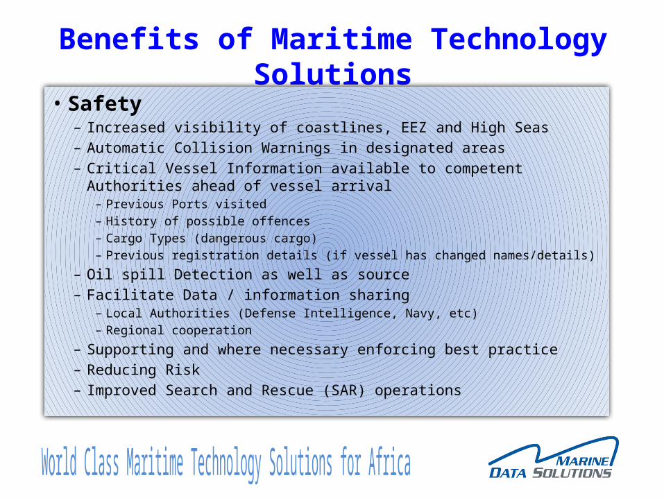
Benefits of Maritime Technology Solutions• Safety
– Increased visibility of coastlines, EEZ and High Seas– Automatic Collision Warnings in designated areas– Critical Vessel Information available to competent Authorities ahead of vessel
arrival– Previous Ports visited– History of possible offences– Cargo Types (dangerous cargo)– Previous registration details (if vessel has changed names/details)
– Oil spill Detection as well as source– Facilitate Data / information sharing
– Local Authorities (Defense Intelligence, Navy, etc)– Regional cooperation
– Supporting and where necessary enforcing best practice– Reducing Risk– Improved Search and Rescue (SAR) operations
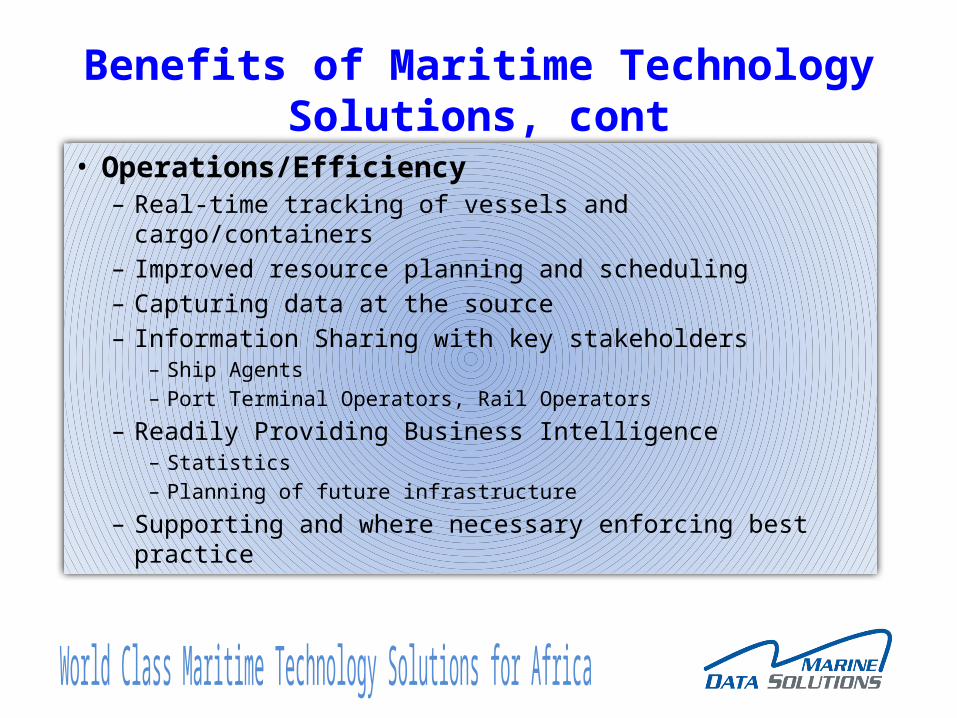
Benefits of Maritime Technology Solutions, cont
• Operations/Efficiency– Real-time tracking of vessels and cargo/containers– Improved resource planning and scheduling– Capturing data at the source– Information Sharing with key stakeholders
– Ship Agents– Port Terminal Operators, Rail Operators
– Readily Providing Business Intelligence– Statistics– Planning of future infrastructure
– Supporting and where necessary enforcing best practice
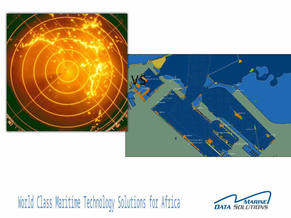
VS
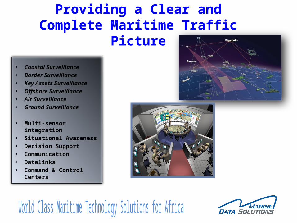
Providing a Clear and Complete Maritime Traffic Picture
• Coastal Surveillance• Border Surveillance• Key Assets Surveillance• Offshore Surveillance• Air Surveillance• Ground Surveillance
• Multi-sensor integration• Situational Awareness• Decision Support• Communication• Datalinks• Command & Control
Centers
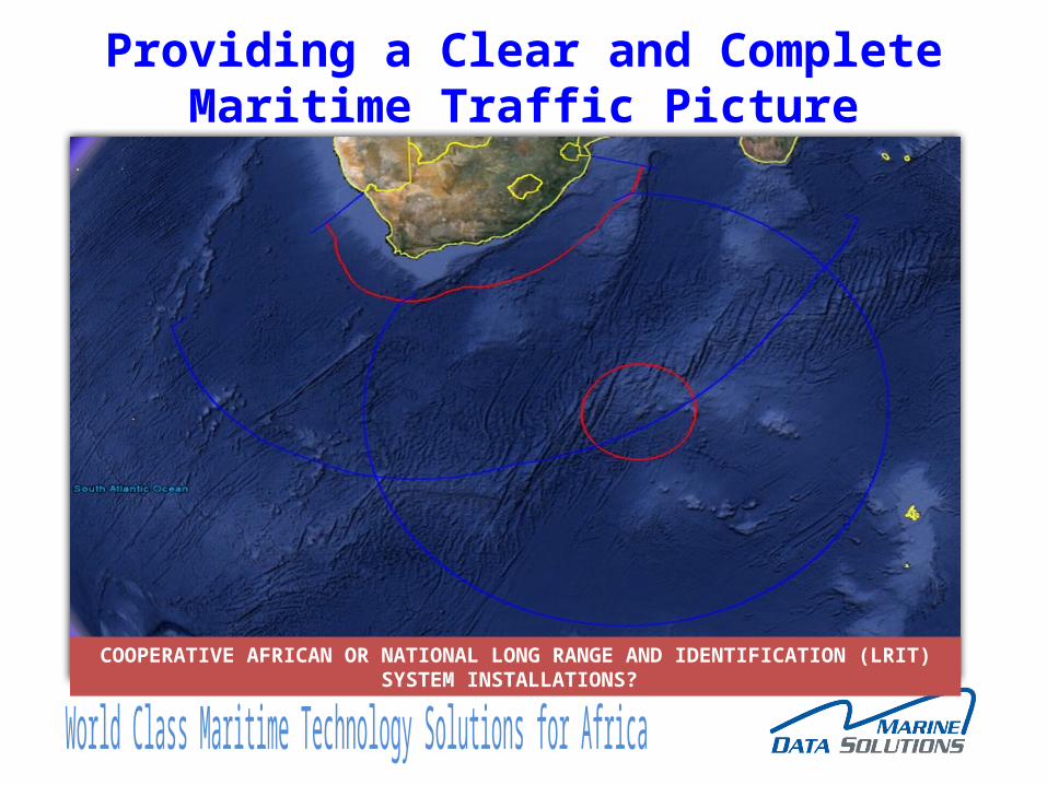
Providing a Clear and Complete Maritime Traffic Picture
COOPERATIVE AFRICAN OR NATIONAL LONG RANGE AND IDENTIFICATION (LRIT) SYSTEM INSTALLATIONS?
Conclusion
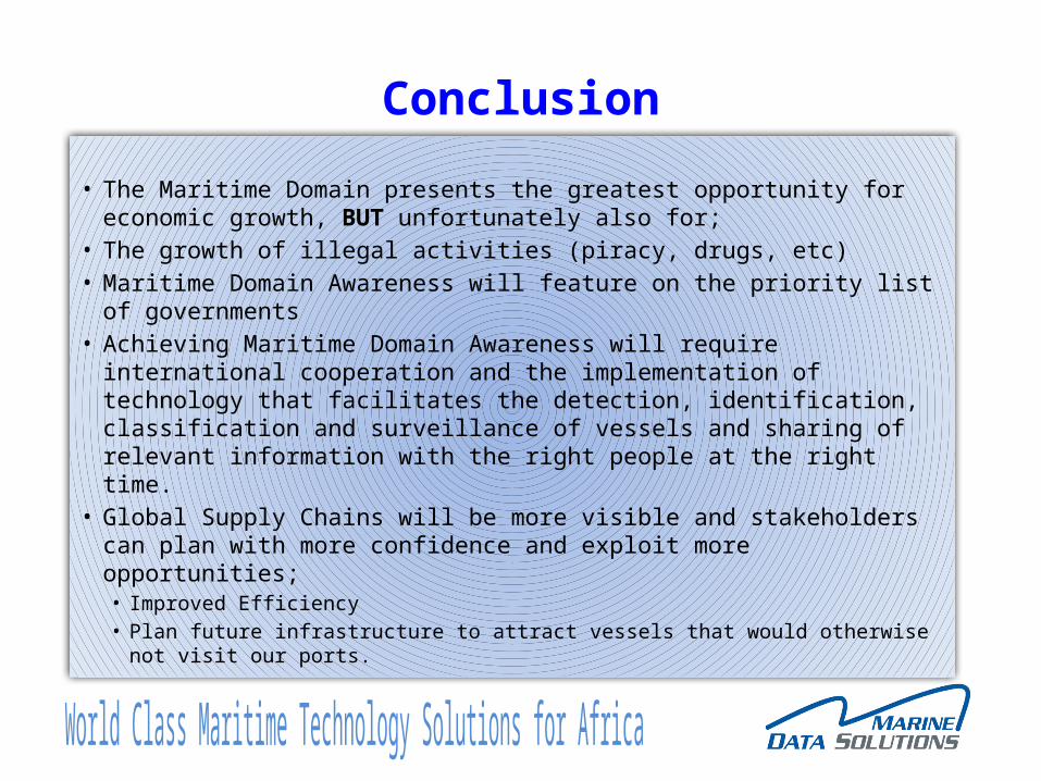
• The Maritime Domain presents the greatest opportunity for economic growth, BUT unfortunately also for;
• The growth of illegal activities (piracy, drugs, etc)• Maritime Domain Awareness will feature on the priority list of
governments• Achieving Maritime Domain Awareness will require international
cooperation and the implementation of technology that facilitates the detection, identification, classification and surveillance of vessels and sharing of relevant information with the right people at the right time.
• Global Supply Chains will be more visible and stakeholders can plan with more confidence and exploit more opportunities;• Improved Efficiency• Plan future infrastructure to attract vessels that would otherwise not visit our
ports.
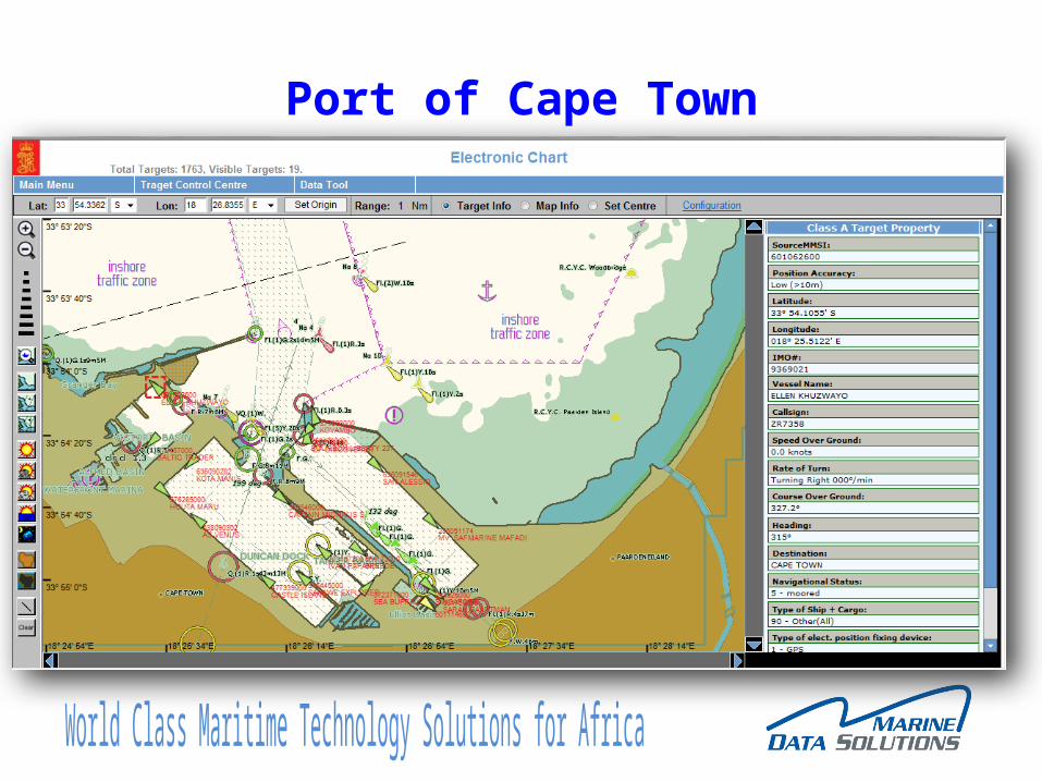
Port of Cape Town
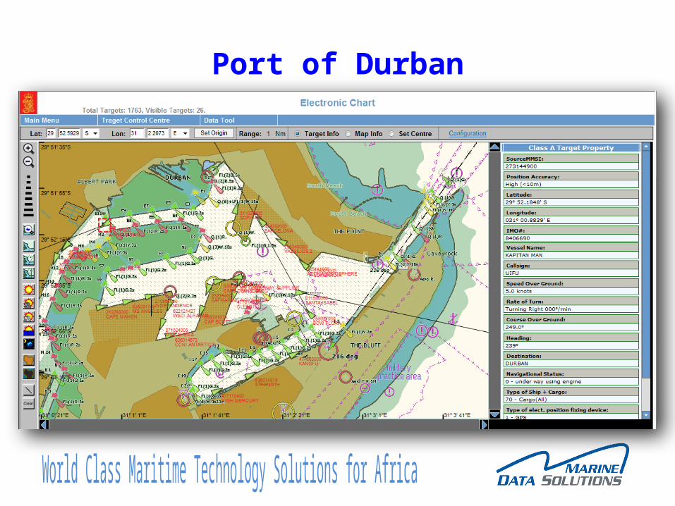
Port of Durban
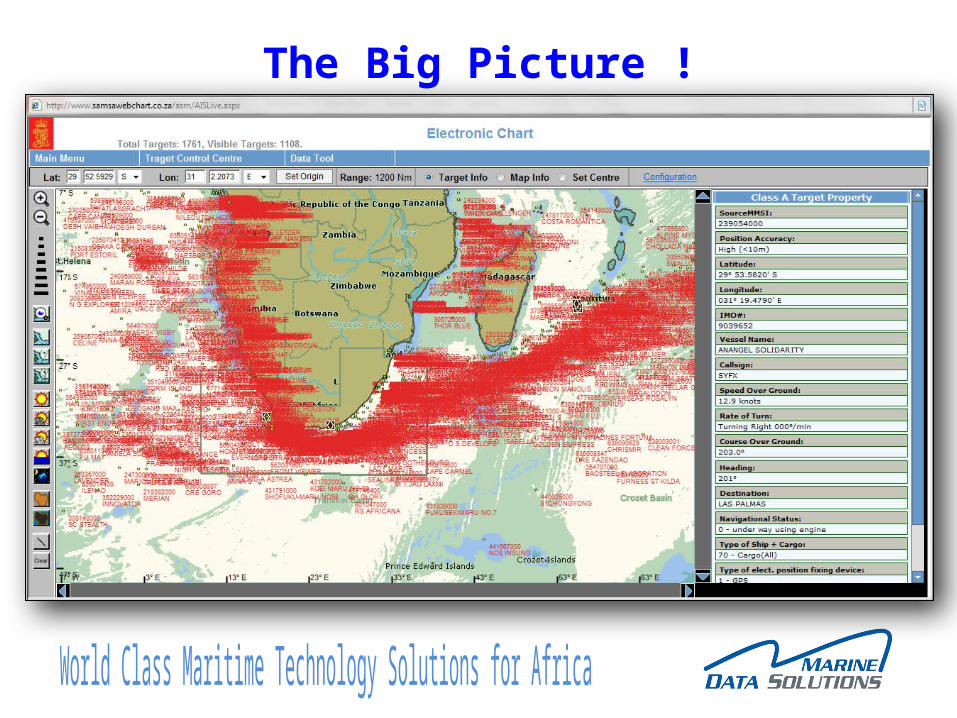
The Big Picture !
Thank You For Your Attention