Embed Size (px)
Citation preview
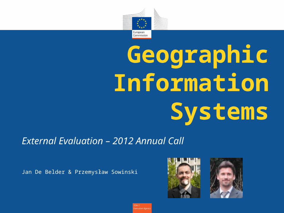
Geographic Information
SystemsExternal Evaluation – 2012 Annual Call
Jan De Belder & Przemysław Sowinski
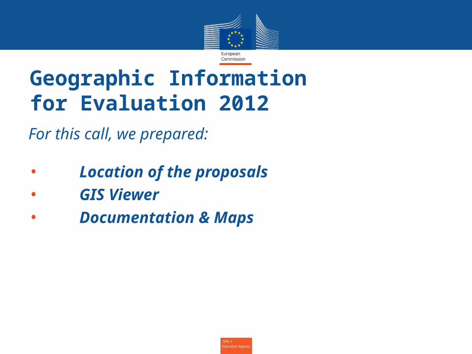
Geographic Informationfor Evaluation 2012For this call, we prepared:
• Location of the proposals• GIS Viewer• Documentation & Maps
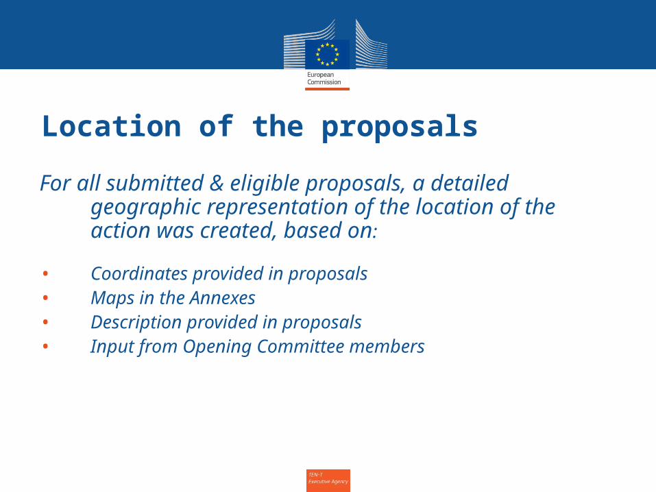
Location of the proposals
For all submitted & eligible proposals, a detailed geographic representation of the location of the action was created, based on:
• Coordinates provided in proposals• Maps in the Annexes• Description provided in proposals• Input from Opening Committee members
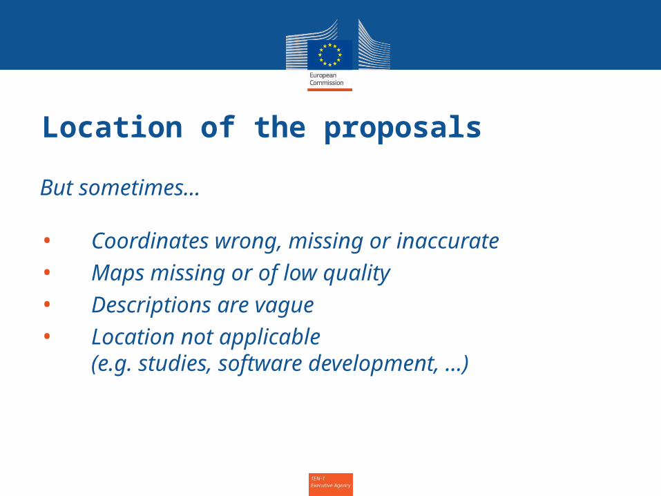
Location of the proposals
But sometimes…
• Coordinates wrong, missing or inaccurate• Maps missing or of low quality• Descriptions are vague• Location not applicable
(e.g. studies, software development, …)
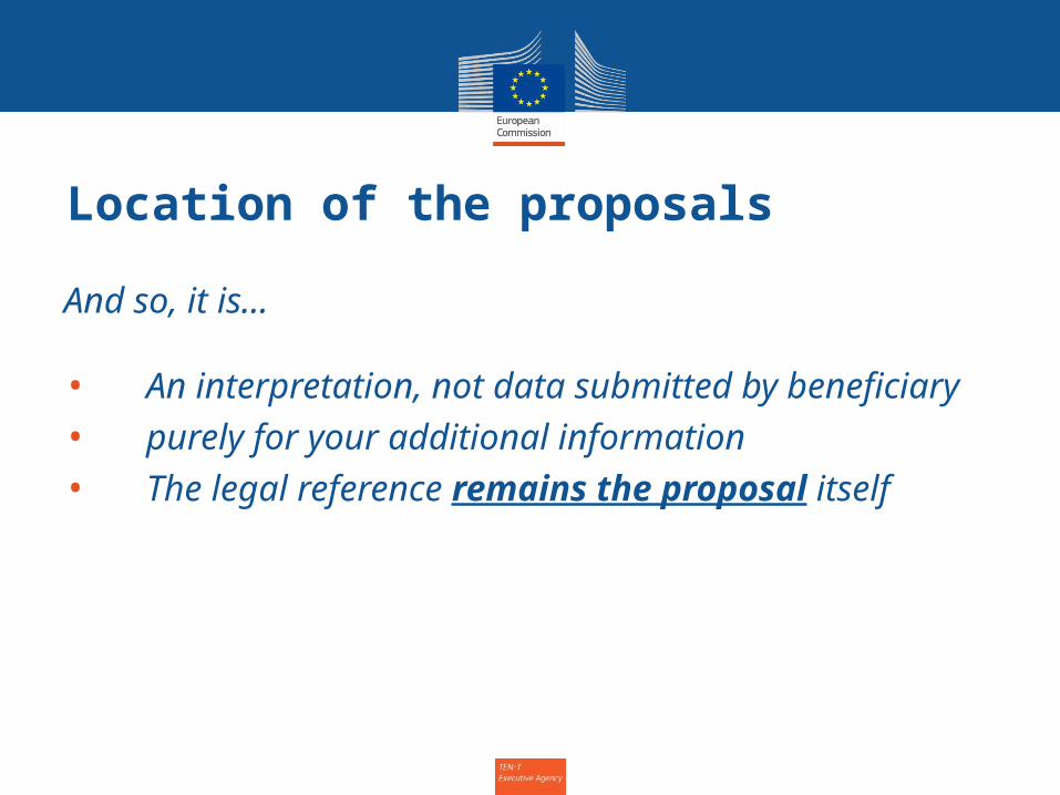
Location of the proposals
And so, it is…
• An interpretation, not data submitted by beneficiary
• purely for your additional information• The legal reference remains the proposal
itself
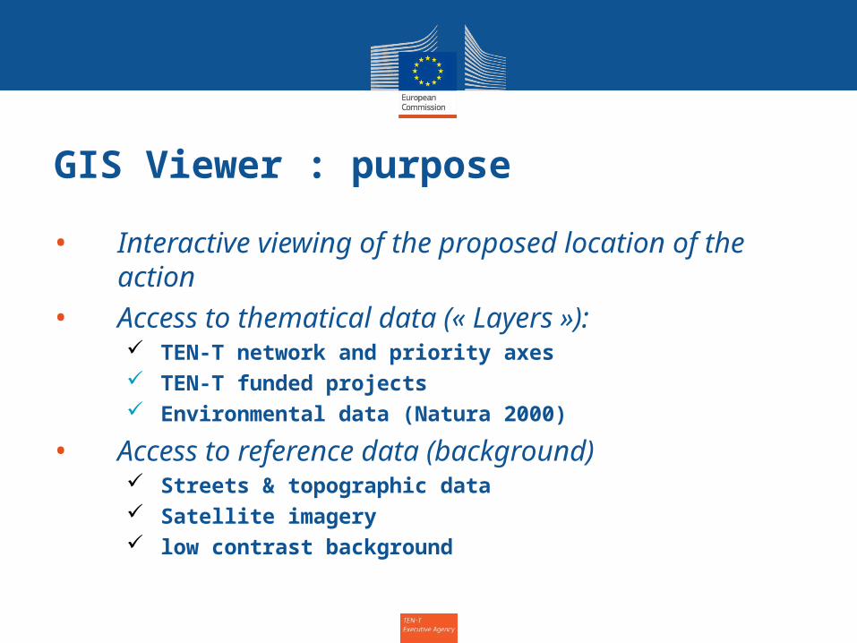
GIS Viewer : purpose
• Interactive viewing of the proposed location of the action
• Access to thematical data (« Layers »): TEN-T network and priority axes TEN-T funded projects Environmental data (Natura 2000)
• Access to reference data (background) Streets & topographic data Satellite imagery low contrast background
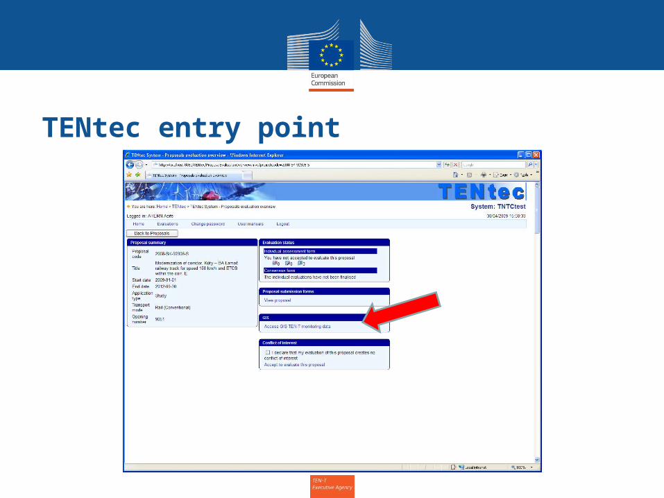
TENtec entry point
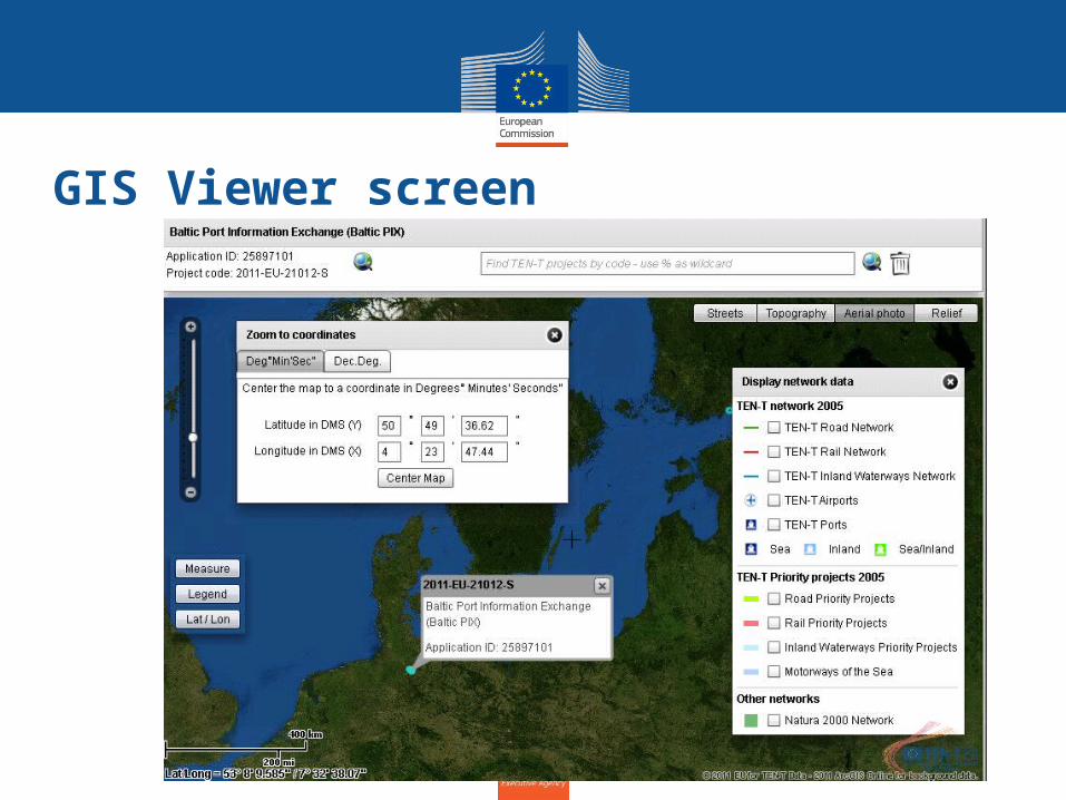
GIS Viewer screen
Viewer demo
• Link to viewer
Documents & Maps
TEN-T Posters in the Experts offices
Viewer Manual (part of TENtec manual) Map Library on N:\
TEN_T_MAPS_FOR_EVALUATION_2011(overview maps, 30 Priority axes (PP 1-
30, Maps per mode)
Further questions on GIS ?
•Call TEN-T EA GIS team• Jan De Belder - tel: 63776• Przemek Sowinski - tel: 51696
•Or find us in Office 2/17

![(GEOSYSTEMS Przemyslaw Turos [tryb zgodności]) · Przemysław Turos, GEOSYSTEMS Polska Sp. z o.o. (SME), Warsaw, Poland przemyslaw.turos@geosystems.pl](https://img.pdfslide.us/doc/110x75/5c78c8a809d3f200208bb9d3/geosystems-przemyslaw-turos-tryb-zgodnosci-przemyslaw-turos-geosystems.jpg)


![Gadamer, Koło Jako Struktura Rozumienia, w Sowinski (Red.), Wokół Rozumienia. Studia i Szkice z Hermeneutyki[1]](https://img.pdfslide.us/doc/110x75/55cf8f7a550346703b9cbc4f/gadamer-kolo-jako-struktura-rozumienia-w-sowinski-red-wokol-rozumienia.jpg)