Embed Size (px)
Citation preview
From LADM/STDM to a spatially enabled society: a vision for 2025
Harry UITERMARK, Peter VAN OOSTEROM, Jaap ZEVENBERGEN and
Christiaan LEMMEN
Annual Bank Conference on Land Policy and AdministrationApril 26 - 27, 2010. Washington D.C.
Introduction (1)
Vision is a co-productionFounding fathers of LADM:
Christiaan Lemmen (ITC)Peter van Oosterom (Delft University of Technology)
Jaap Zevenbergen (ITC).
Why am I here?Editor of the LADM/ISO project teamDutch Cadastre (Geomatics background)Detached to ITC since 2008.
Annual Bank Conference on Land Policy and AdministrationApril 26 - 27, 2010. Washington D.C.
Introduction (2)
ITC is a 60 years old educational institutionITC is a faculty of University of Twente (2010)ITC mission:
Development of knowledge in geo-information science.
ITC target group:Young professionals from developing countries.
ITC is associated to the United Nations University (UNU)
The School for Land Administration Studies.
Annual Bank Conference on Land Policy and AdministrationApril 26 - 27, 2010. Washington D.C.
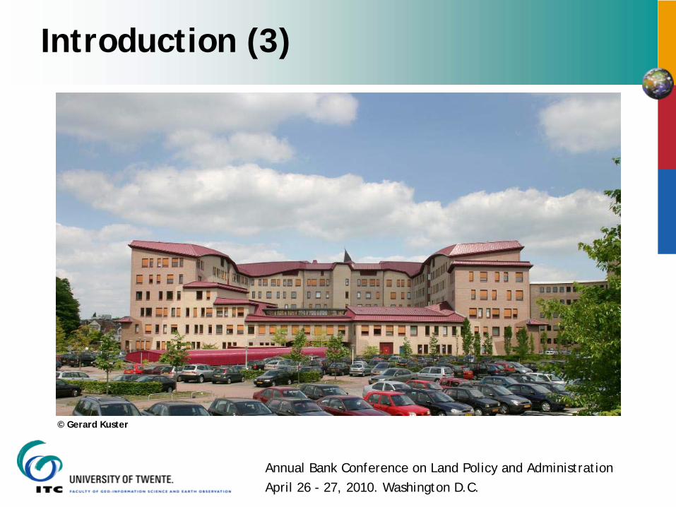
© Gerard Kuster
Introduction (3)
Annual Bank Conference on Land Policy and AdministrationApril 26 - 27, 2010. Washington D.C.
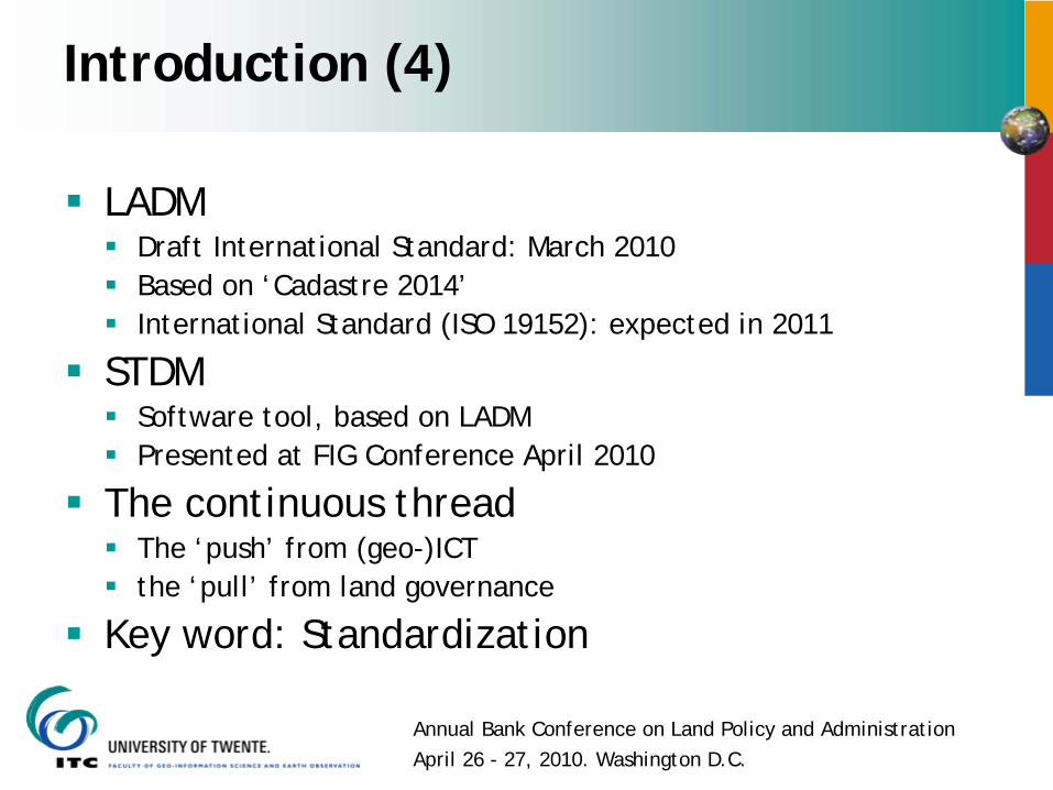
Introduction (4)
LADMDraft International Standard: March 2010Based on ‘Cadastre 2014’International Standard (ISO 19152): expected in 2011
STDMSoftware tool, based on LADMPresented at FIG Conference April 2010
The continuous threadThe ‘push’ from (geo-)ICTthe ‘pull’ from land governance
Key word: Standardization
Annual Bank Conference on Land Policy and AdministrationApril 26 - 27, 2010. Washington D.C.
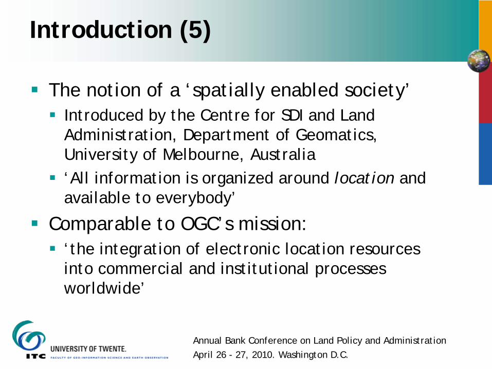
Introduction (5)
The notion of a ‘spatially enabled society’Introduced by the Centre for SDI and Land Administration, Department of Geomatics, University of Melbourne, Australia‘All information is organized around location and available to everybody’
Comparable to OGC’s mission: ‘the integration of electronic location resources into commercial and institutional processes worldwide’
Annual Bank Conference on Land Policy and AdministrationApril 26 - 27, 2010. Washington D.C.
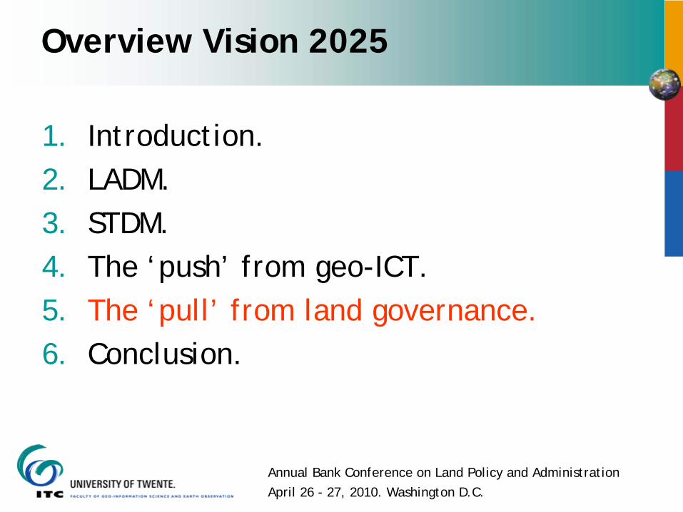
Overview Vision 2025
1. Introduction.2. Land Administration Domain Model (LADM).3. STDM.4. The ‘push’ from geo-ICT.5. The ‘pull’ from land governance.6. Conclusion.
Annual Bank Conference on Land Policy and AdministrationApril 26 - 27, 2010. Washington D.C.
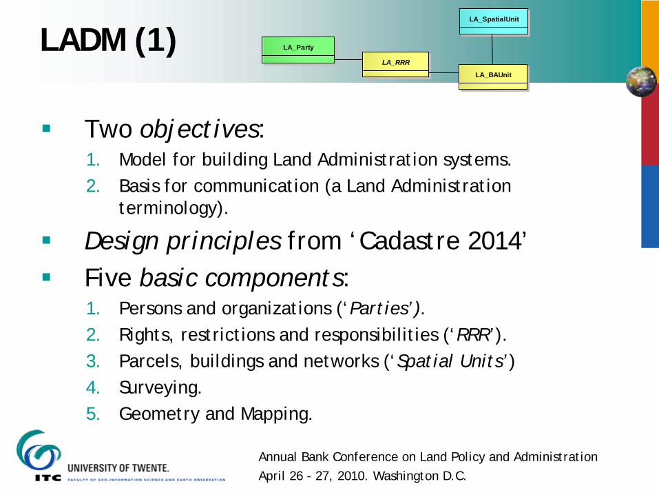
LADM (1)
Two objectives:1. Model for building Land Administration systems.2. Basis for communication (a Land Administration
terminology).
Design principles from ‘Cadastre 2014’Five basic components:1. Persons and organizations (‘Parties’).2. Rights, restrictions and responsibilities (‘RRR’).3. Parcels, buildings and networks (‘Spatial Units’)4. Surveying.5. Geometry and Mapping.
LA_SpatialUnit
LA_Party
LA_RRR
LA_BAUnit
Annual Bank Conference on Land Policy and AdministrationApril 26 - 27, 2010. Washington D.C.
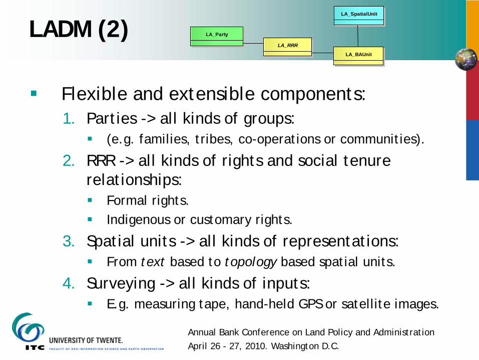
LADM (2)
Flexible and extensible components:1. Parties -> all kinds of groups:
(e.g. families, tribes, co-operations or communities).
2. RRR -> all kinds of rights and social tenure relationships:
Formal rights.Indigenous or customary rights.
3. Spatial units -> all kinds of representations:From text based to topology based spatial units.
4. Surveying -> all kinds of inputs:E.g. measuring tape, hand-held GPS or satellite images.
LA_SpatialUnit
LA_Party
LA_RRR
LA_BAUnit
Annual Bank Conference on Land Policy and AdministrationApril 26 - 27, 2010. Washington D.C.
LADM (3)
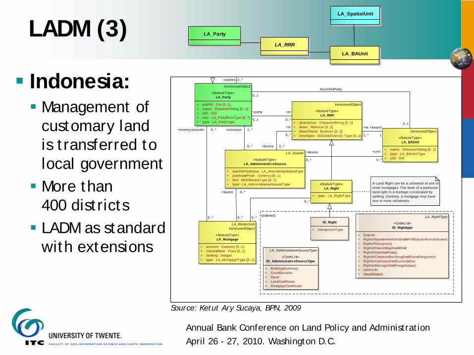
VersionedObject
«featureType»LA_RRR
+ description: CharacterString [0..1]+ share: Rational [0..1]+ shareCheck: Boolean [0..1]+ timeSpec: ISO14825AnnD_Type [0..1]
LA_RestrictionVersionedObject
«featureType»LA_Mortgage
+ amount: Currency [0..1]+ interestRate: Float [0..1]+ ranking: Integer+ type: LA_MortgageType [0..1]
«featureType»LA_Right
+ type: LA_RightType
VersionedObject
«featureType»LA_Party
+ extPID: Oid [0..1]+ name: CharacterString [0..1]+ pID: Oid+ role: LA_PartyRoleType [0..*]+ type: LA_PartyType
LA_Source
«featureType»LA_Administrativ eSource
+ availibil ityStatus: LA_Availabili tyStatusType+ purchasePrice: Currency [0..1]+ text: MultiMediaType [0..1]+ type: LA_AdministrativeSourceType
VersionedObject
«featureType»LA_BAUnit
+ name: CharacterString [0..1]+ type: LA_BAUnitType+ uID: Oid
LA_RightType
«CodeList»ID_Righttype
+ Dispute+ RightofApartementUnit(HakMil ikSatuanRumahSusun)+ RightofOccupancy+ RightofOwnership(HakMilik)+ RightofUse(HakPakai)+ RighttoConstructBuilding(HakGunaBangunan)+ RighttoCultivate(HakGunaUsaha)+ RighttoManage(HakPengelolaan)+ Usufrucht+ Waqf(Wakaf)
LA_AdministrativeSourceType
«CodeList»ID_AdministrativeSourceType
+ BiddingSummary+ CourtDecision+ Deed+ LandCertificate+ MortgageCertificate
ID_Right
+ transactionType
A Land Right can be a collateral of one or more mortgages. The level of a particular land right in a mortage is indicated by ranking. Contrary, a mortgage may have one or more collaterals.
+party
0..1
+rrr
0..*
+(ordered)0..*
0..*
0..1
baunitAsParty
0..1
0..*
+money-provider 0..*
0..*
+source 0..*
+rrr
0..*
+source 1..*
+conveyor 1..*
0..*+unit
0..*
+source
0..*
+rrr
1..*
+baunit
1
+parties 2..*Indonesia:Management ofcustomary landis transferred tolocal governmentMore than 400 districtsLADM as standard with extensions
Source: Ketut Ary Sucaya, BPN, 2009
LA_SpatialUnit
LA_Party
LA_RRR
LA_BAUnit
Annual Bank Conference on Land Policy and AdministrationApril 26 - 27, 2010. Washington D.C.
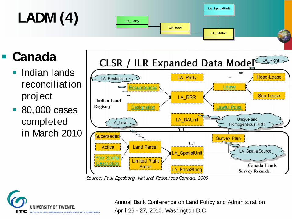
LADM (4)LA_SpatialUnit
LA_Party
LA_RRR
LA_BAUnit
CanadaIndian landsreconciliationproject80,000 casescompleted in March 2010
Source: Paul Egesborg, Natural Resources Canada, 2009
Annual Bank Conference on Land Policy and AdministrationApril 26 - 27, 2010. Washington D.C.
Overview Vision 2025
1. Introduction.2. LADM.3. Social Tenure Domain Model (STDM).4. The ‘push’ from geo-ICT.5. The ‘pull’ form land governance.6. Conclusion
Annual Bank Conference on Land Policy and AdministrationApril 26 - 27, 2010. Washington D.C.
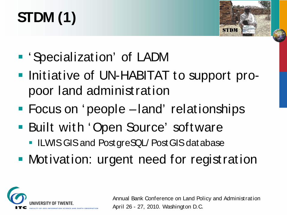
STDM (1)
‘Specialization’ of LADMInitiative of UN-HABITAT to support pro-poor land administrationFocus on ‘people – land’ relationshipsBuilt with ‘Open Source’ software
ILWIS GIS and PostgreSQL/PostGIS database
Motivation: urgent need for registration
Annual Bank Conference on Land Policy and AdministrationApril 26 - 27, 2010. Washington D.C.
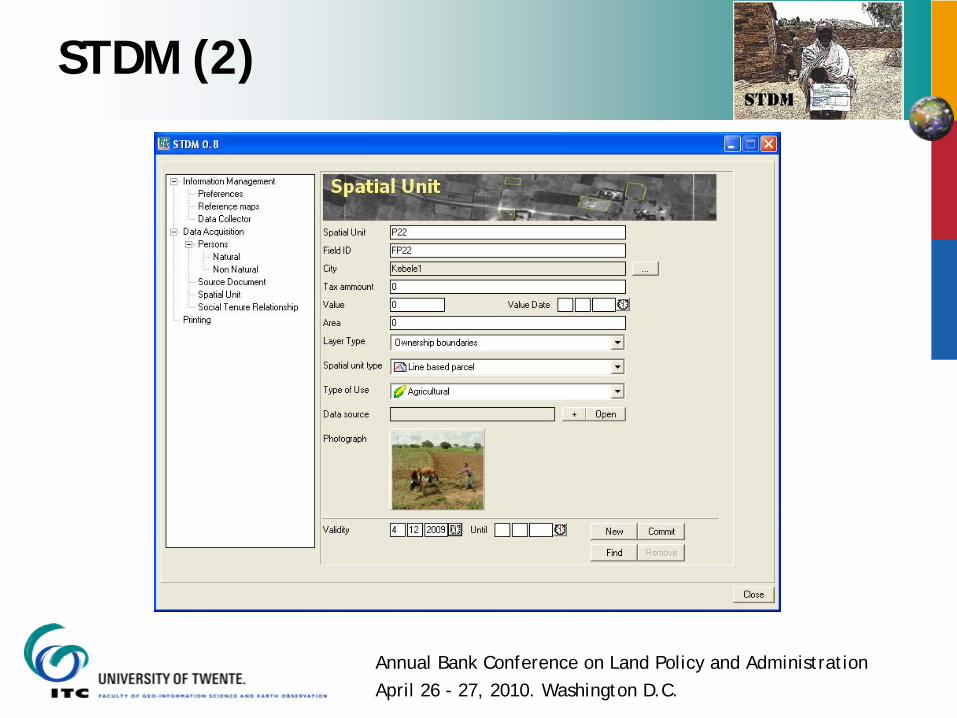
STDM (2)
Annual Bank Conference on Land Policy and AdministrationApril 26 - 27, 2010. Washington D.C.
STDM (3)
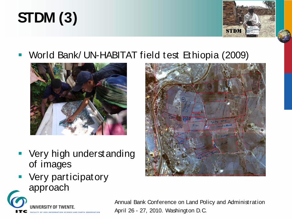
World Bank/UN-HABITAT field test Ethiopia (2009)
Very high understandingof imagesVery participatoryapproach
Annual Bank Conference on Land Policy and AdministrationApril 26 - 27, 2010. Washington D.C.
Overview Vision 2025
1. Introduction.2. LADM.3. STDM.4. The ‘push’ from (geo-)ICT.5. The ‘pull’ from land governance.6. Conclusion.
Annual Bank Conference on Land Policy and AdministrationApril 26 - 27, 2010. Washington D.C.
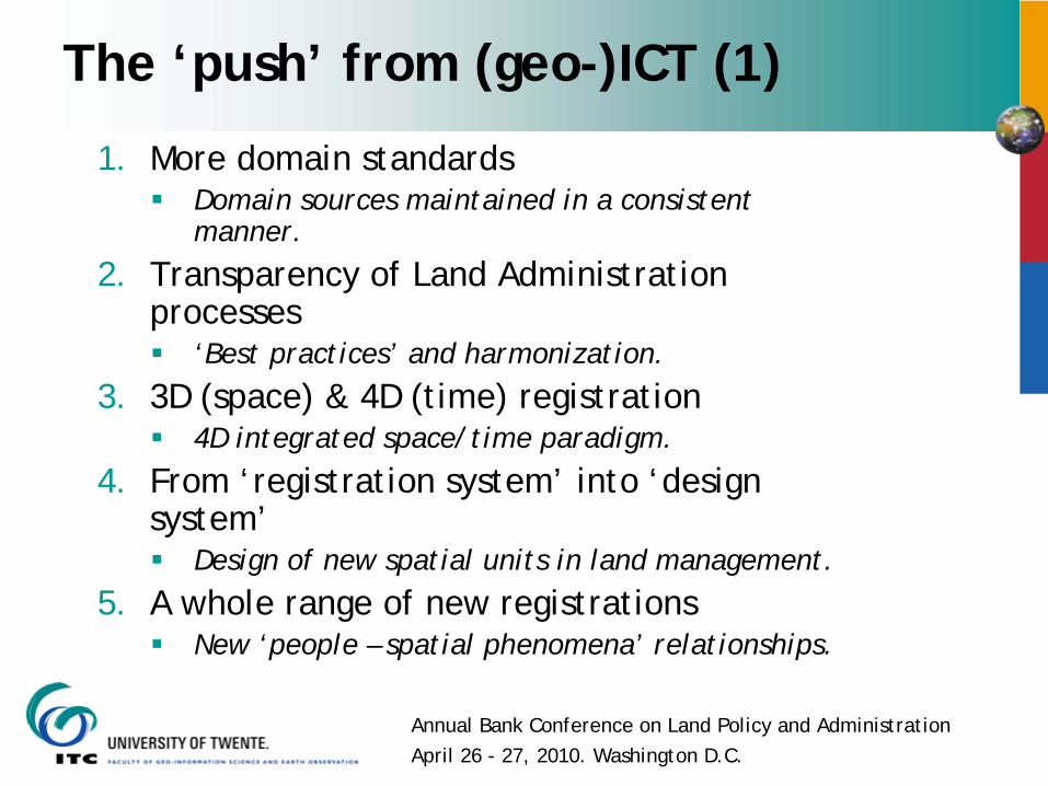
The ‘push’ from (geo-)ICT (1)
1. More domain standardsDomain sources maintained in a consistent manner.
2. Transparency of Land Administration processes
‘Best practices’ and harmonization.
3. 3D (space) & 4D (time) registration4D integrated space/time paradigm.
4. From ‘registration system’ into ‘design system’
Design of new spatial units in land management.
5. A whole range of new registrationsNew ‘people – spatial phenomena’ relationships.
Annual Bank Conference on Land Policy and AdministrationApril 26 - 27, 2010. Washington D.C.
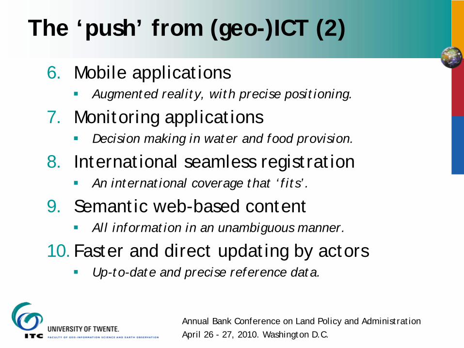
The ‘push’ from (geo-)ICT (2)
6. Mobile applicationsAugmented reality, with precise positioning.
7. Monitoring applicationsDecision making in water and food provision.
8. International seamless registrationAn international coverage that ‘fits’.
9. Semantic web-based contentAll information in an unambiguous manner.
10.Faster and direct updating by actorsUp-to-date and precise reference data.
Annual Bank Conference on Land Policy and AdministrationApril 26 - 27, 2010. Washington D.C.
Overview Vision 2025
1. Introduction.2. LADM.3. STDM.4. The ‘push’ from geo-ICT.5. The ‘pull’ from land governance.6. Conclusion.
Annual Bank Conference on Land Policy and AdministrationApril 26 - 27, 2010. Washington D.C.
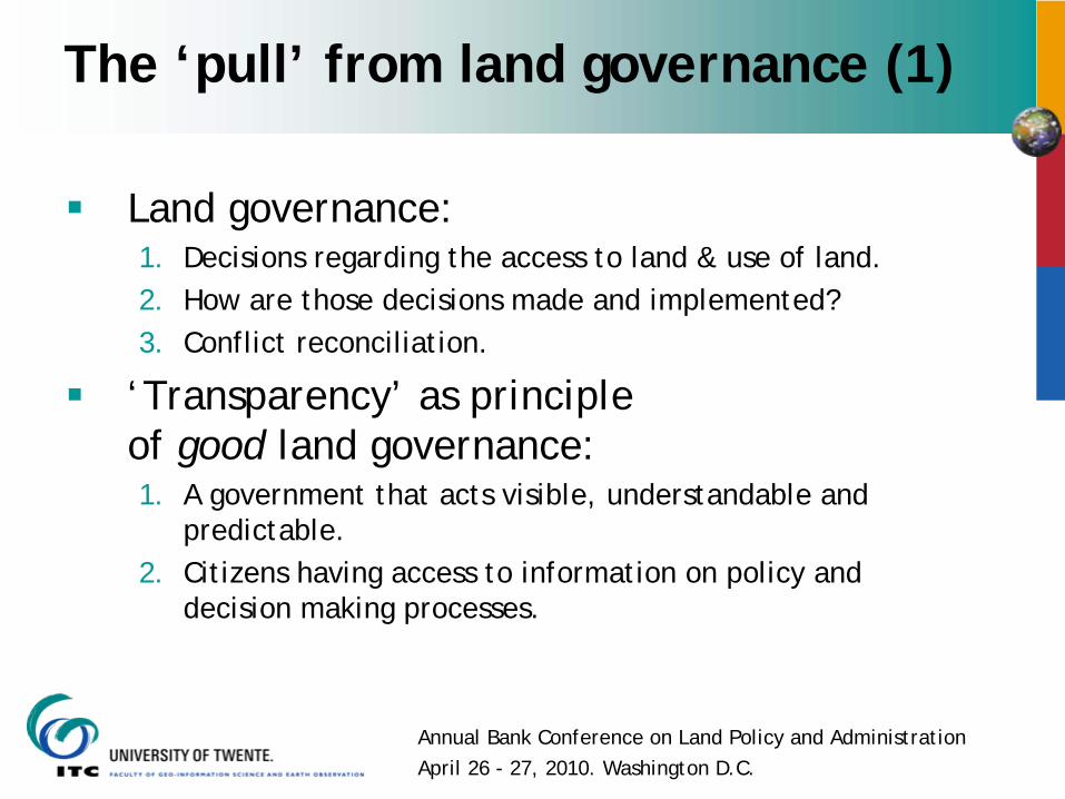
The ‘pull’ from land governance (1)
Land governance: 1. Decisions regarding the access to land & use of land.2. How are those decisions made and implemented?3. Conflict reconciliation.
‘Transparency’ as principle of good land governance:1. A government that acts visible, understandable and
predictable.2. Citizens having access to information on policy and
decision making processes.
Annual Bank Conference on Land Policy and AdministrationApril 26 - 27, 2010. Washington D.C.
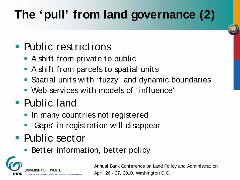
The ‘pull’ from land governance (2)
Public restrictionsA shift from private to publicA shift from parcels to spatial unitsSpatial units with ‘fuzzy’ and dynamic boundariesWeb services with models of ‘influence’
Public landIn many countries not registered‘Gaps’ in registration will disappear
Public sectorBetter information, better policy
Annual Bank Conference on Land Policy and AdministrationApril 26 - 27, 2010. Washington D.C.
Overview
1. Introduction.2. LADM.3. STDM.4. The ‘push’ from geo-ICT.5. The ‘pull’ from land governance.6. Conclusion.
Annual Bank Conference on Land Policy and AdministrationApril 26 - 27, 2010. Washington D.C.
Conclusion (1)
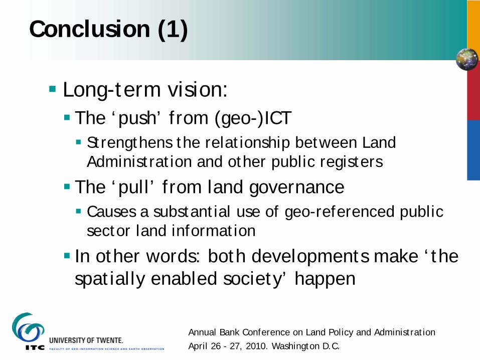
Long-term vision:The ‘push’ from (geo-)ICT
Strengthens the relationship between Land Administration and other public registers
The ‘pull’ from land governanceCauses a substantial use of geo-referenced public sector land information
In other words: both developments make ‘the spatially enabled society’ happen
Annual Bank Conference on Land Policy and AdministrationApril 26 - 27, 2010. Washington D.C.
Conclusion (2)
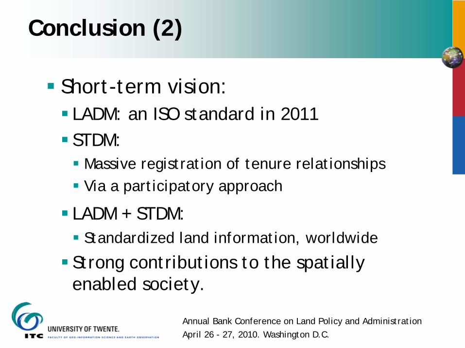
Short-term vision:LADM: an ISO standard in 2011STDM:
Massive registration of tenure relationshipsVia a participatory approach
LADM + STDM:Standardized land information, worldwide
Strong contributions to the spatially enabled society.
Annual Bank Conference on Land Policy and AdministrationApril 26 - 27, 2010. Washington D.C.
Thank you for your attention.