Embed Size (px)
Citation preview
CS 128/ES 228 - Lecture 13a 1
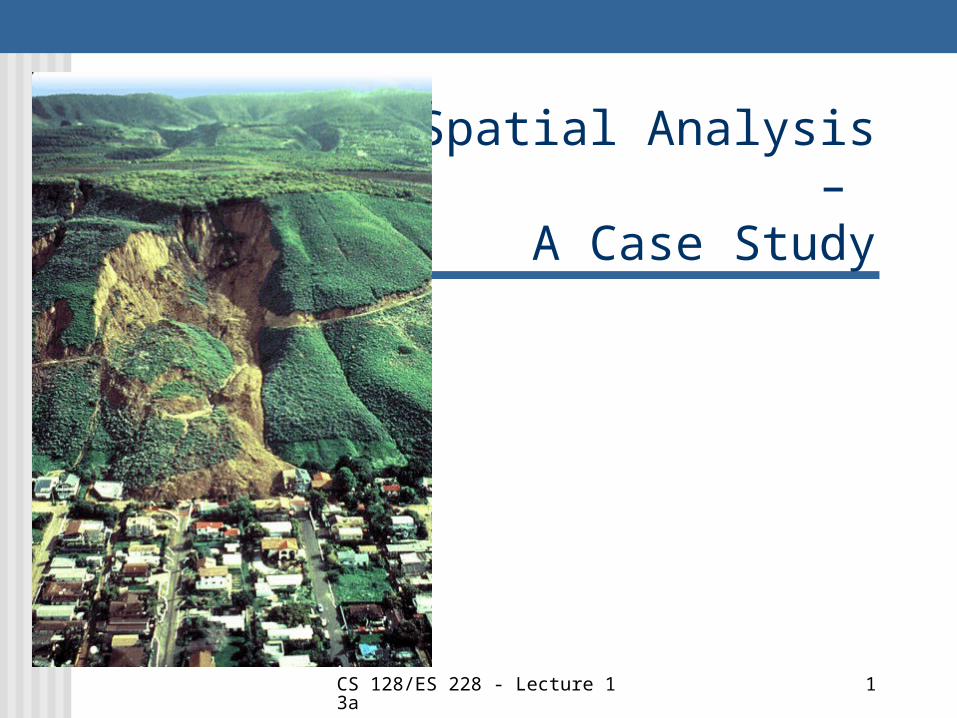
Spatial Analysis – A Case Study
CS 128/ES 228 - Lecture 13a 2
Problem Landslides are present in certain
areas of West Virginia
Question: How much of a determinant is land slope in this matter?
CS 128/ES 228 - Lecture 13a 3
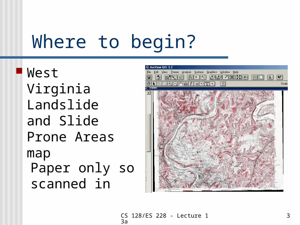
Where to begin? West Virginia
Landslide and Slide Prone Areas map
Paper only so scanned in
CS 128/ES 228 - Lecture 13a 4
What to add?
DEMs available at different resolutions
10 meter and 30 meter resolution DEMs imported
Also a Geology map and a DOQQ
CS 128/ES 228 - Lecture 13a 5
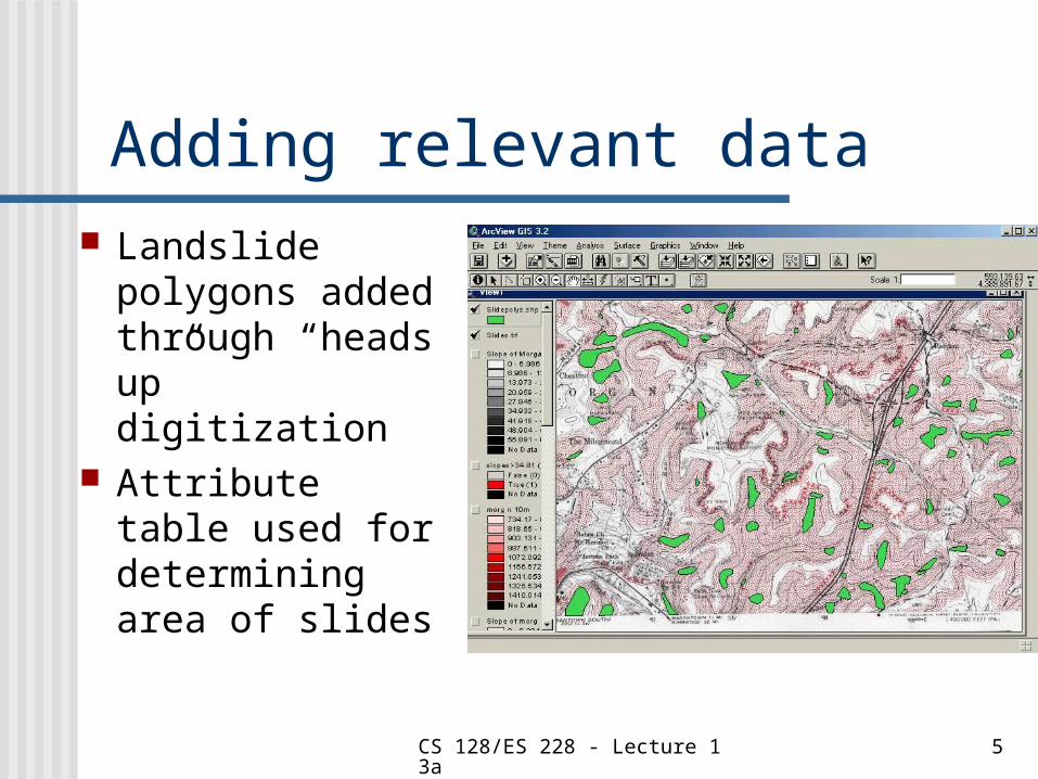
Adding relevant data Landslide
polygons added through “heads up” digitization
Attribute table used for determining area of slides
CS 128/ES 228 - Lecture 13a 6
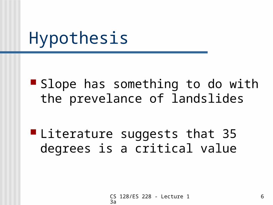
Hypothesis
Slope has something to do with the prevelance of landslides
Literature suggests that 35 degrees is a critical value
CS 128/ES 228 - Lecture 13a 7
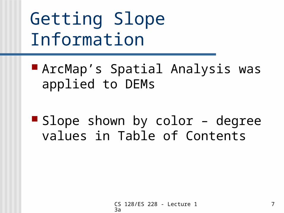
Getting Slope Information ArcMap’s Spatial Analysis was
applied to DEMs
Slope shown by color – degree values in Table of Contents
CS 128/ES 228 - Lecture 13a 8
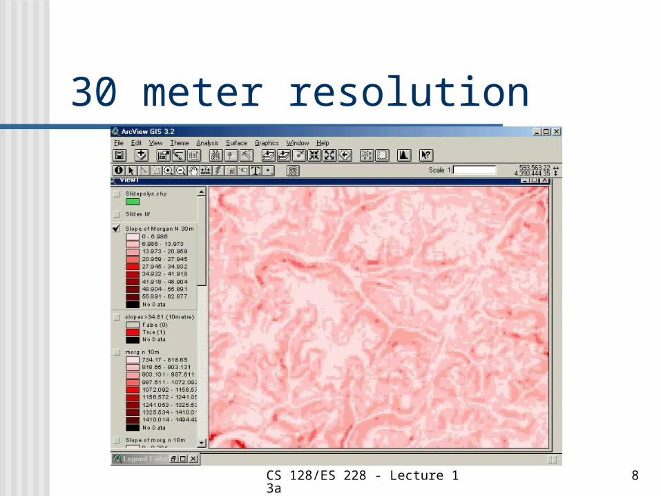
30 meter resolution
CS 128/ES 228 - Lecture 13a 9
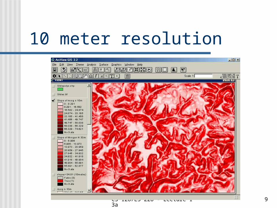
10 meter resolution
CS 128/ES 228 - Lecture 13a 10
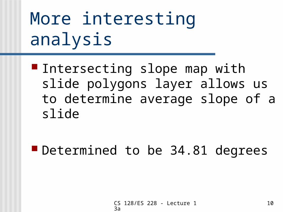
More interesting analysis Intersecting slope map with slide
polygons layer allows us to determine average slope of a slide
Determined to be 34.81 degrees
CS 128/ES 228 - Lecture 13a 11
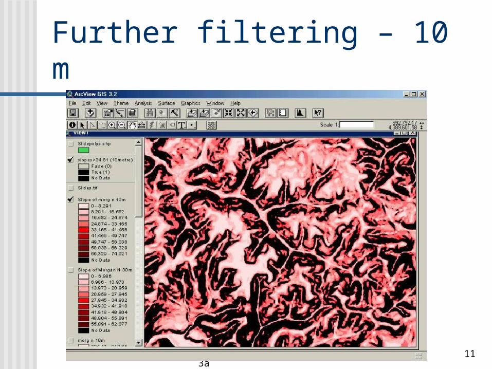
Further filtering – 10 m
CS 128/ES 228 - Lecture 13a 12
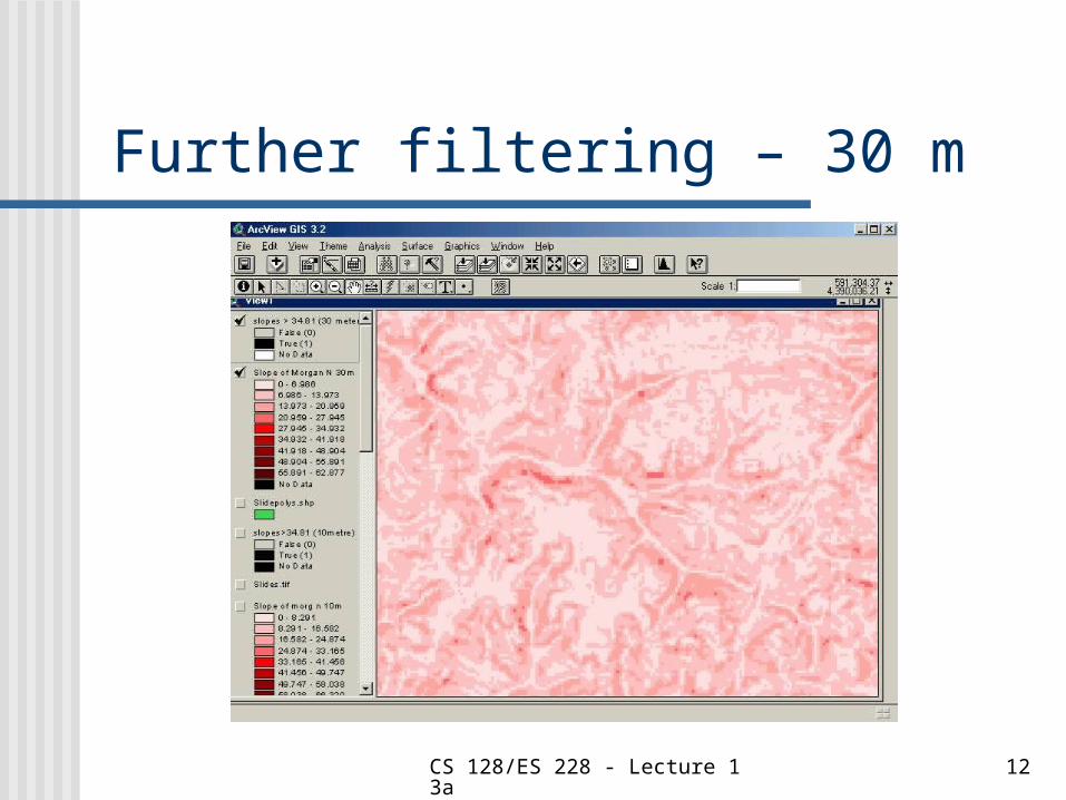
Further filtering – 30 m
CS 128/ES 228 - Lecture 13a 13
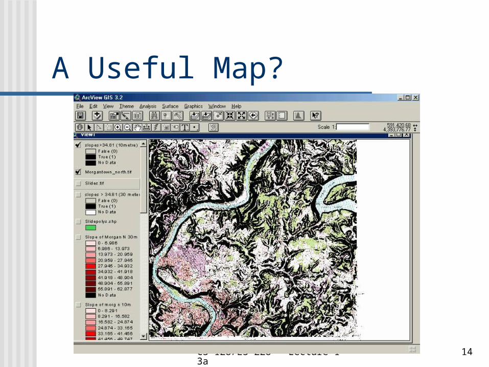
Final product
What layers should be included?
How should they be arranged?
CS 128/ES 228 - Lecture 13a 14
A Useful Map?
CS 128/ES 228 - Lecture 13a 15
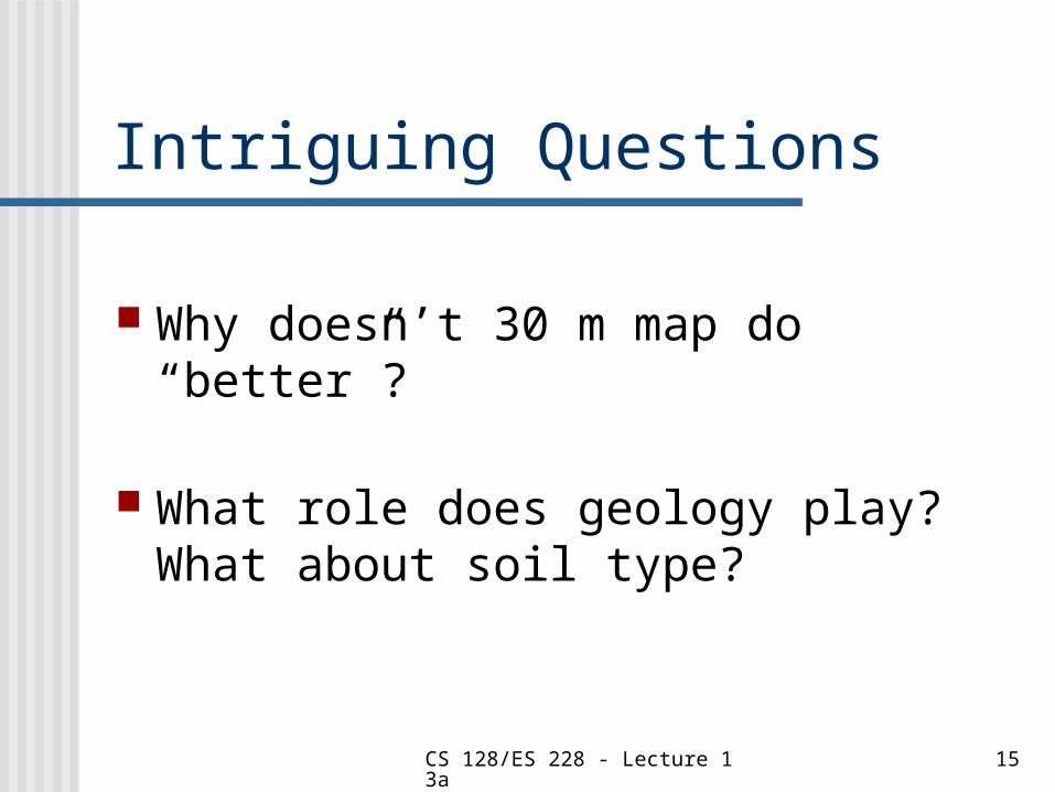
Intriguing Questions
Why doesn’t 30 m map do “better”?
What role does geology play? What about soil type?
CS 128/ES 228 - Lecture 13a 16
BIBLIOGRAPHY All figures (and details about the
study) were taken from:
http://www.nrac.wvu.edu/rm493-591/fall2001/students/kish/The%20Use%20of%2010%20Meter%20and%2030%20Meter%20Digital%20Elevation%20Models%20for%20Determining%20Areas%20Susceptible%20to%20Landsliding%20in%20the%20Morgantown%20N.htm
Better approach – go to http://www.nrac.wvu.edu/rm493-591/ and explore projects (This one from Fall 2001 – Patrick Kish)