Embed Size (px)
Citation preview
CS 128/ES 228 - Lecture 3b 1
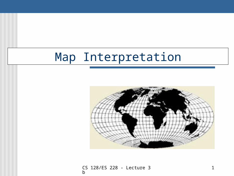
Map Interpretation
CS 128/ES 228 - Lecture 3b 2
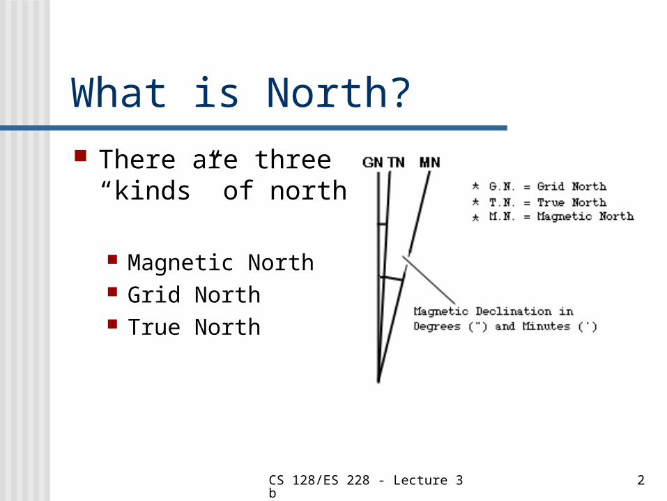
What is North? There are three
“kinds” of north
Magnetic North Grid North True North
CS 128/ES 228 - Lecture 3b 3
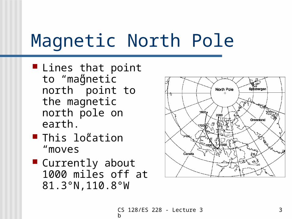
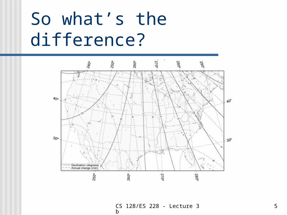
Magnetic North Pole Lines that point to
“magnetic north” point to the magnetic north pole on earth.
This location “moves”
Currently about 1000 miles off at 81.3°N,110.8°W
CS 128/ES 228 - Lecture 3b 4
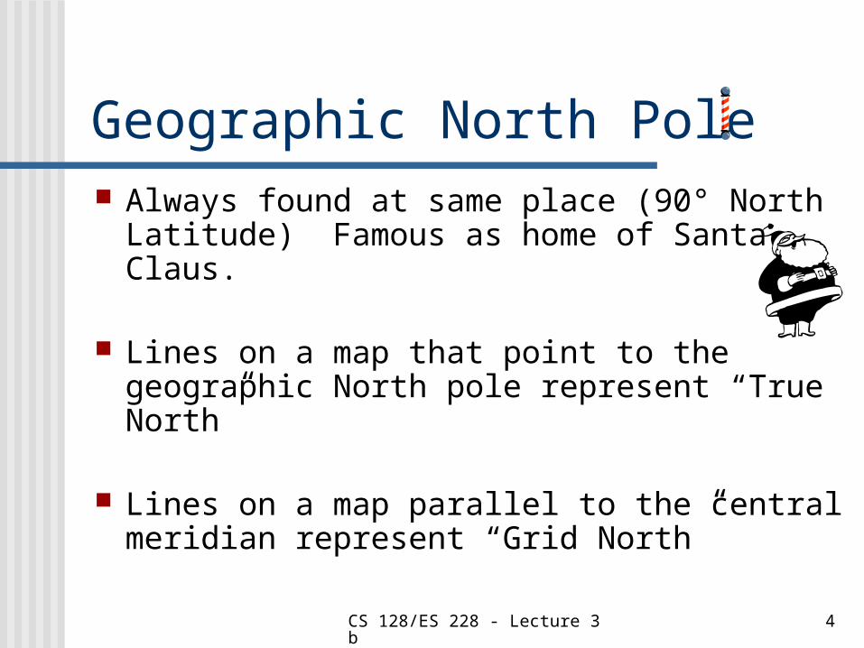
Geographic North Pole Always found at same place (90° North
Latitude) Famous as home of Santa Claus.
Lines on a map that point to the geographic North pole represent “True North”
Lines on a map parallel to the central meridian represent “Grid North”
CS 128/ES 228 - Lecture 3b 5
So what’s the difference?
CS 128/ES 228 - Lecture 3b 6
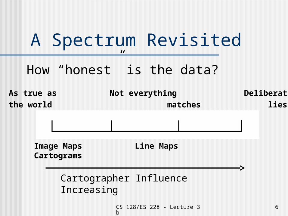
A Spectrum Revisited
How “honest” is the data?
As true as Not everything Deliberatethe world matches lies
Image Maps Line Maps Cartograms
Cartographer Influence Increasing
CS 128/ES 228 - Lecture 3b 7
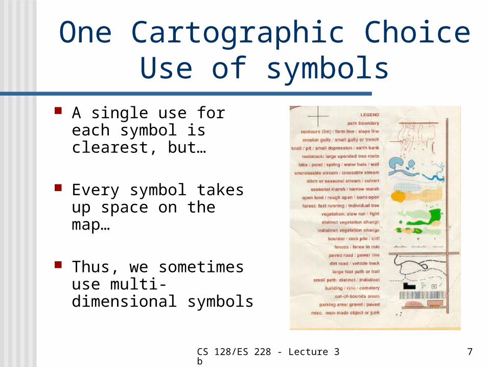
One Cartographic Choice Use of symbols
A single use for each symbol is clearest, but…
Every symbol takes up space on the map…
Thus, we sometimes use multi-dimensional symbols
CS 128/ES 228 - Lecture 3b 8
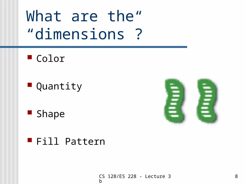
What are the “dimensions”? Color
Quantity
Shape
Fill Pattern

CS 128/ES 228 - Lecture 3b 9
Multivariate Symbols Multivariate symbols
Are very compact, but… Dimensions can be hard to interpret,
and… Can cause information overload
Lesson: Use them with care
CS 128/ES 228 - Lecture 3b 10
A cartographic concern The interaction between choice of
symbol and choice of scale is VERY important
It is often ignored
ArcMap permits you to display symbols (okay, layers with symbols) only at certain scales
CS 128/ES 228 - Lecture 3b 11
Spotting the “lies”
On the topos provided, find examples of each of the following “lies” Aggregation Exaggeration Selection Deception?
CS 128/ES 228 - Lecture 3b 12
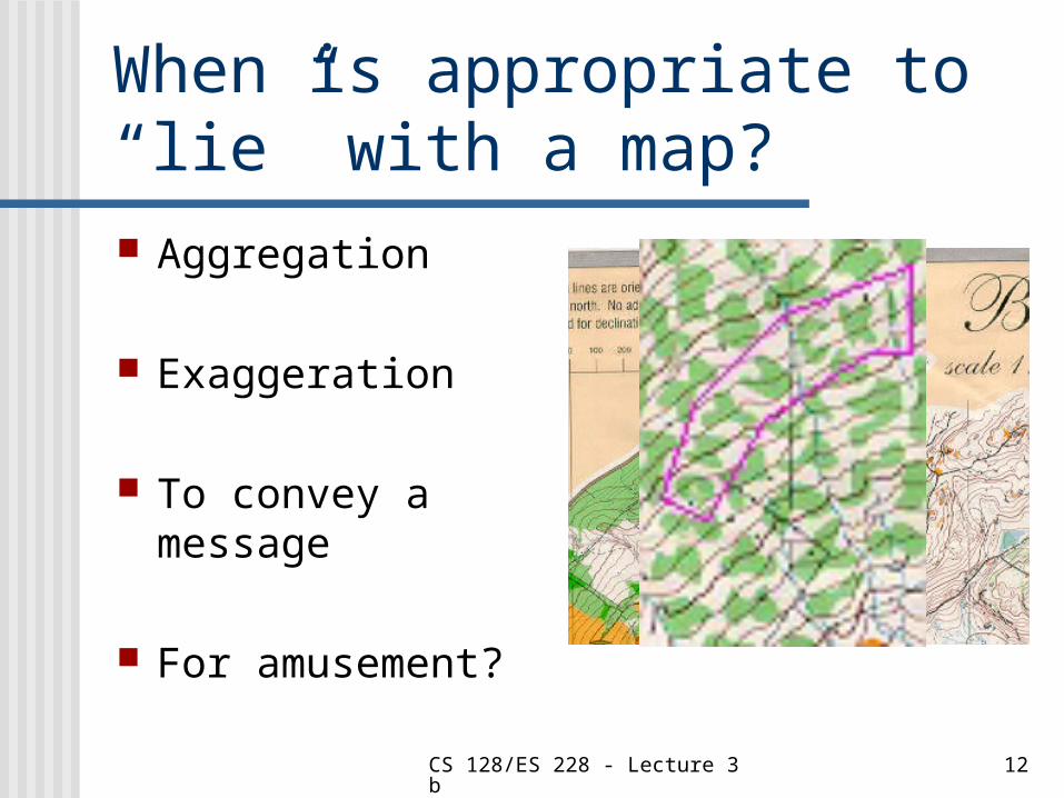
When is appropriate to “lie” with a map? Aggregation
Exaggeration
To convey a message
For amusement?
CS 128/ES 228 - Lecture 3b 13
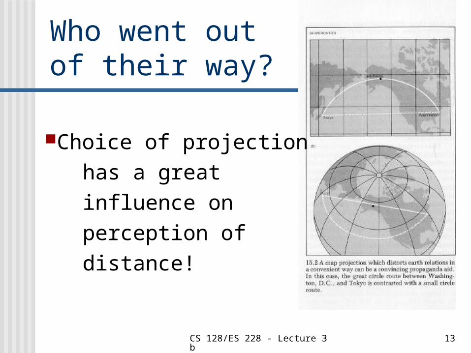
Who went out of their way?
Choice of projection has a great influence on perception of distance!
CS 128/ES 228 - Lecture 3b 14
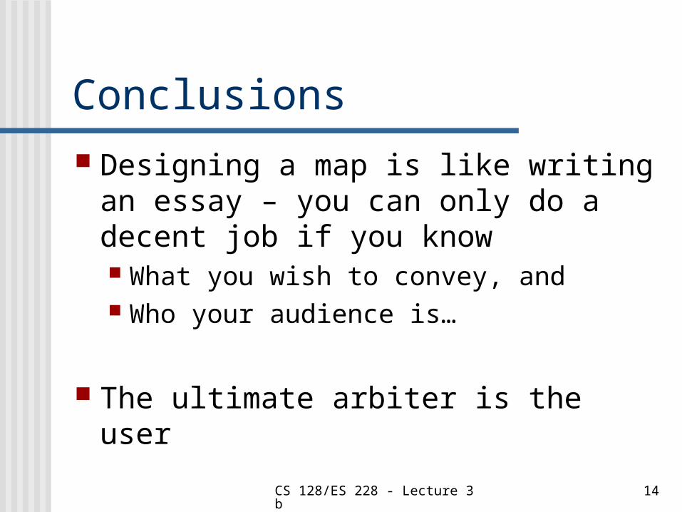
Conclusions Designing a map is like writing an
essay – you can only do a decent job if you know What you wish to convey, and Who your audience is…
The ultimate arbiter is the user