Embed Size (px)
Citation preview
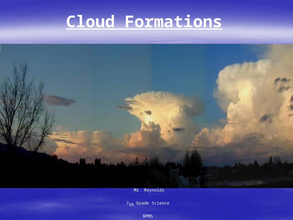
Cloud Formations
Mr. Reynolds
7th Grade Science
BPMS

Sunlight causes water to evaporate into the atmosphere. This air containing the water vapor is heated at the surface of the
earth and rises. As the air rises, it cools and the water vapor condenses on some form of particulate matter such as dust, ash,
or smoke to form clouds.
Condensation on spider webs. Views of early morning fog in Indiana
CONDENSATION
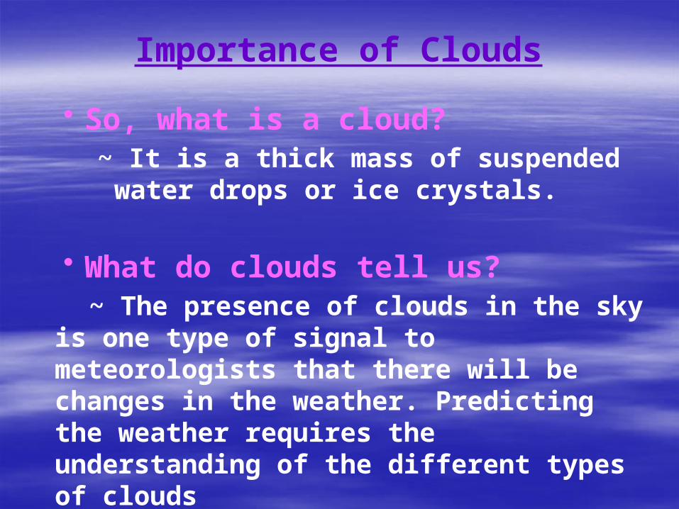
Importance of Clouds
• So, what is a cloud?
~ It is a thick mass of suspended water drops or ice crystals.
• What do clouds tell us?
~ The presence of clouds in the sky is one type of signal to meteorologists that there will be changes in the weather. Predicting the weather requires the understanding of the different types of clouds
Identifying Clouds
To better communicate and understand the many cloud forms in the sky, meteorologists identify clouds based
on five basic cloud characteristics:
1. The altitude at which they occur 2. Color
3. Density 4. Shape
5. Degree of cover.
From this information, we can identify three basic cloud types and seven other common cloud types.
Clouds can be classified by some simple, but subjective, criteria that also provides information on
the atmospheric conditions
One form of classification is based on appearance or form. Using these characteristics you can
identify the three basic cloud types: stratus, cirrus, and cumulus
Cloud Type by Form
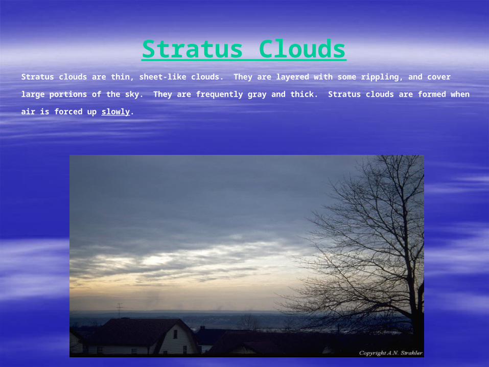
Stratus CloudsStratus clouds are thin, sheet-like clouds. They are layered with some rippling, and cover large
portions of the sky. They are frequently gray and thick. Stratus clouds are formed when air is forced
up slowly.
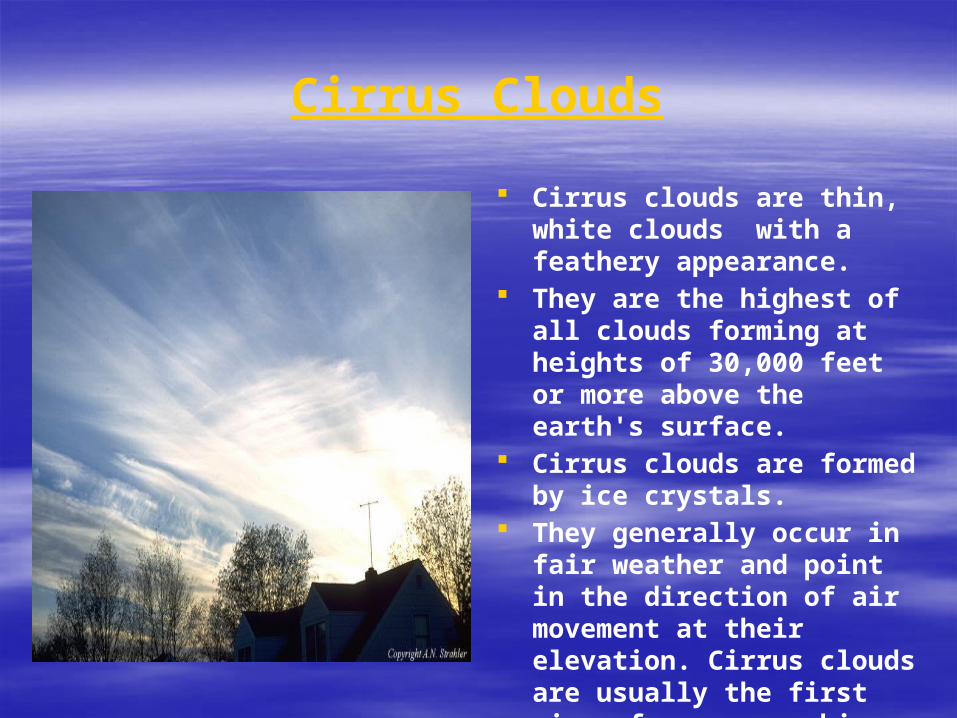
Cirrus Clouds
Cirrus clouds are thin, white clouds with a feathery appearance.
They are the highest of all clouds forming at heights of 30,000 feet or more above the earth's surface.
Cirrus clouds are formed by ice crystals.
They generally occur in fair weather and point in the direction of air movement at their elevation. Cirrus clouds are usually the first sign of an approaching storm.
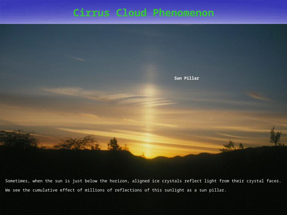
Sun Pillar
Cirrus Cloud Phenomenon
Sometimes, when the sun is just below the horizon, aligned ice crystals reflect light from their crystal faces. We see the cumulative effect of millions of
reflections of this sunlight as a sun pillar.
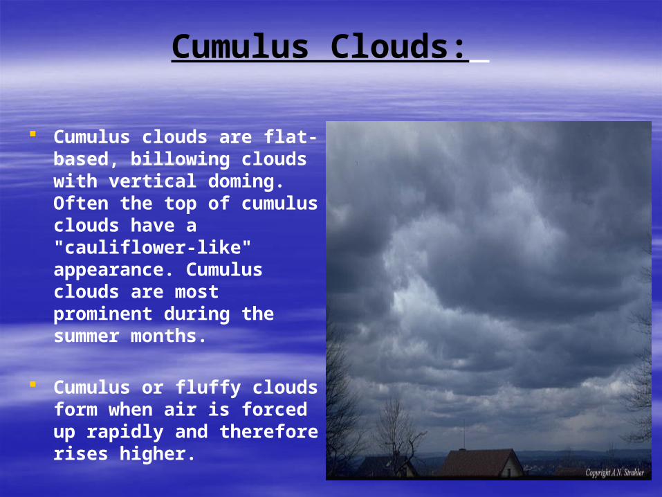
Cumulus Clouds:
Cumulus clouds are flat-based, billowing clouds with vertical doming. Often the top of cumulus clouds have a "cauliflower-like" appearance. Cumulus clouds are most prominent during the summer months.
Cumulus or fluffy clouds form when air is forced up rapidly and therefore rises higher.
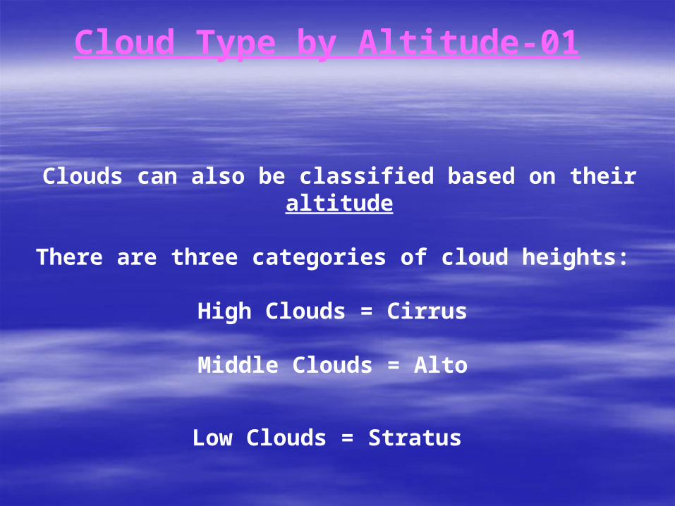
Cloud Type by Altitude-01
Clouds can also be classified based on their altitude
There are three categories of cloud heights:
High Clouds = Cirrus
Middle Clouds = Alto
Low Clouds = Stratus
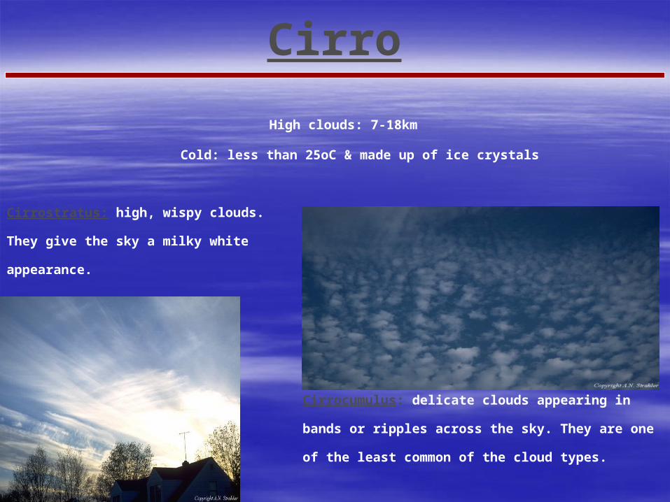
High clouds: 7-18km
Cold: less than 25oC & made up of ice crystals
Cirrostratus: high, wispy clouds. They give the
sky a milky white appearance.
Cirro
Cirrocumulus: delicate clouds appearing in bands or ripples
across the sky. They are one of the least common of the cloud
types.
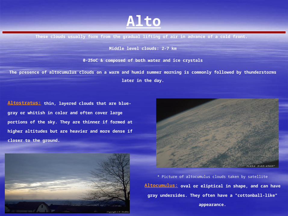
Altostratus: thin, layered clouds that are blue-gray or whitish in
color and often cover large portions of the sky. They are thinner if
formed at higher altitudes but are heavier and more dense if closer to
the ground.
* Picture of altocumulus clouds taken by satellite
Altocumulus: oval or eliptical in shape, and can have gray undersides. They
often have a "cottonball-like" appearance.
AltoThese clouds usually form from the gradual lifting of air in advance of a cold front.
Middle level clouds: 2-7 km
0-25oC & composed of both water and ice crystals
The presence of altocumulus clouds on a warm and humid summer morning is commonly followed by thunderstorms later in the day.
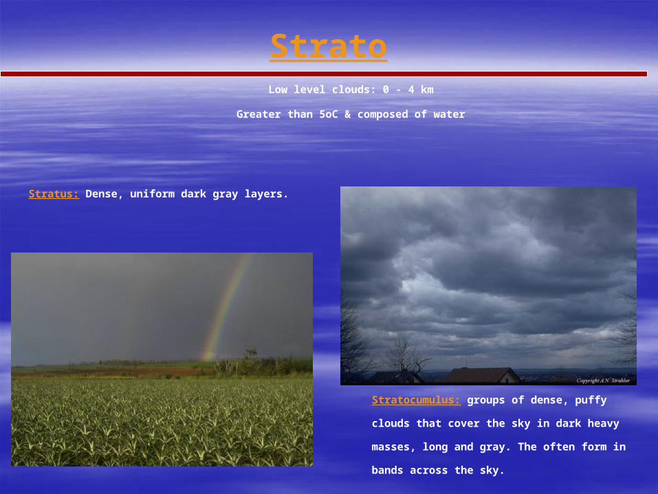
Stratus: Dense, uniform dark gray layers.
Stratocumulus: groups of dense, puffy
clouds that cover the sky in dark heavy
masses, long and gray. The often form in
bands across the sky.
Low level clouds: 0 - 4 km
Greater than 5oC & composed of water
Strato
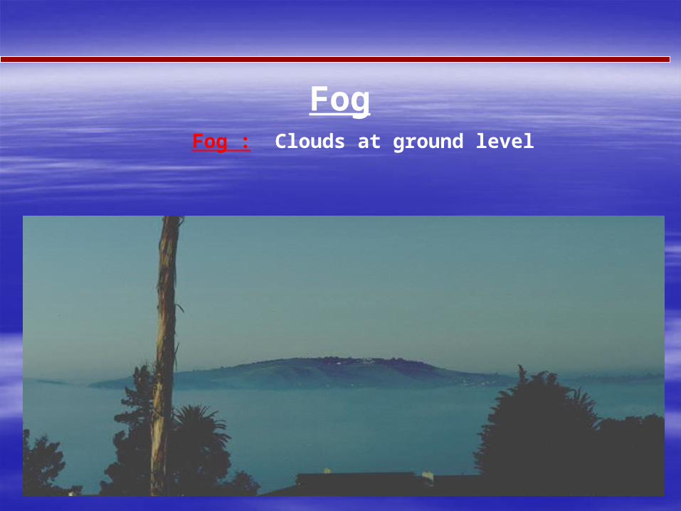
Fog : Clouds at ground level
Fog
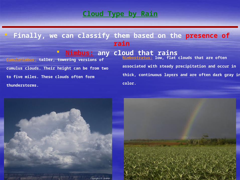
Cloud Type by Rain
Finally, we can classify them based on the presence of rain Nimbus: any cloud that rains
Cumulonimbus: taller, towering versions of cumulus
clouds. Their height can be from two to five miles. These
clouds often form thunderstorms.
Nimbostratus: low, flat clouds that are often associated with steady
precipitation and occur in thick, continuous layers and are often
dark gray in color.
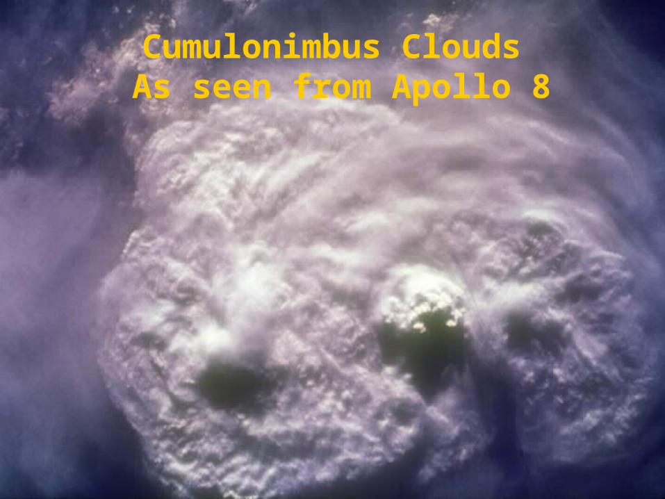
Cumulonimbus Clouds As seen from Apollo 8
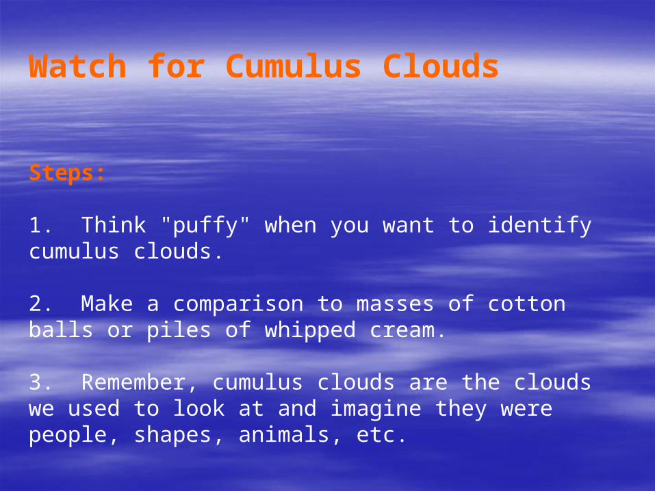
Watch for Cumulus Clouds
Steps:
1. Think "puffy" when you want to identify cumulus clouds.
2. Make a comparison to masses of cotton balls or piles of whipped cream.
3. Remember, cumulus clouds are the clouds we used to look at and imagine they were people, shapes, animals, etc.
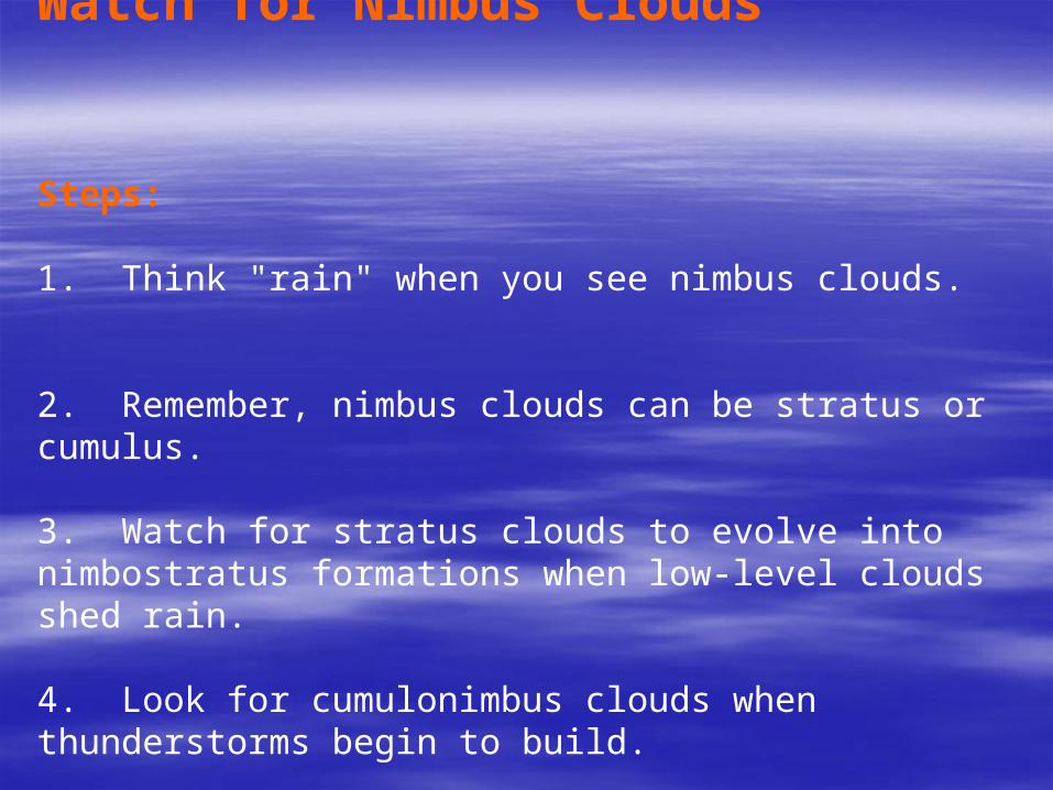
Watch for Nimbus Clouds
Steps:
1. Think "rain" when you see nimbus clouds.
2. Remember, nimbus clouds can be stratus or cumulus.
3. Watch for stratus clouds to evolve into nimbostratus formations when low-level clouds shed rain.
4. Look for cumulonimbus clouds when thunderstorms begin to build.
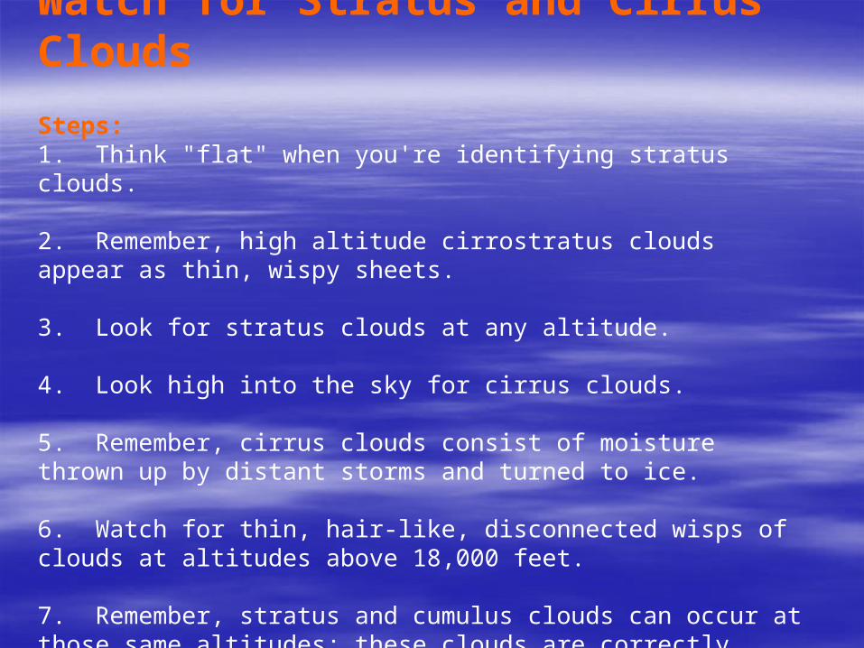
Watch for Stratus and Cirrus Clouds Steps: 1. Think "flat" when you're identifying stratus clouds.
2. Remember, high altitude cirrostratus clouds appear as thin, wispy sheets.
3. Look for stratus clouds at any altitude.
4. Look high into the sky for cirrus clouds.
5. Remember, cirrus clouds consist of moisture thrown up by distant storms and turned to ice.
6. Watch for thin, hair-like, disconnected wisps of clouds at altitudes above 18,000 feet.
7. Remember, stratus and cumulus clouds can occur at those same altitudes; these clouds are correctly identified as cirrostratus and
cirrocumulus clouds.

T H E E N D


![[uengine.org] uEngine Opensource BPMS introduction](https://img.pdfslide.us/doc/110x75/5492587bac7959ff2d8b45bb/uengineorg-uengine-opensource-bpms-introduction.jpg)