Embed Size (px)
Citation preview
CLIMATE CHANGE IMPACTS ON WATER RESOURCES IN GUYANA
Kailas NarayanChief hydrologist
Background:
This study was done through the “CARIBBEAN PLANNING FOR ADAPTATION TO CLIMATE CHANGE” project, component 6 – “Coastal Vulnerability & Risk assessment”.
V FRIENDWORLD CONFERRENCE, 2006.
HAVANA, CUBA
27November – 1December, 2006.
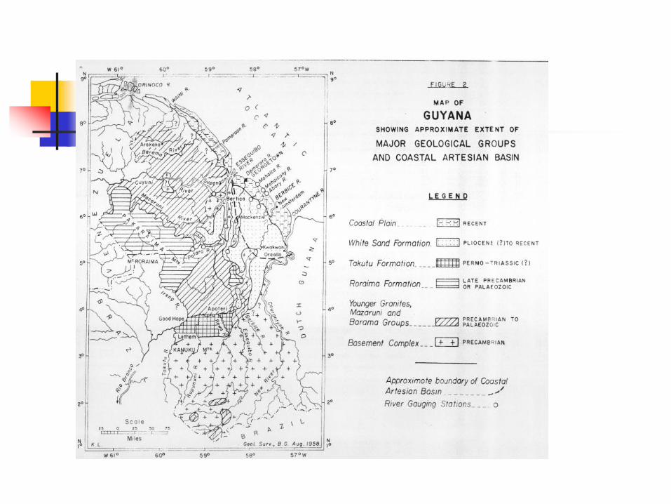
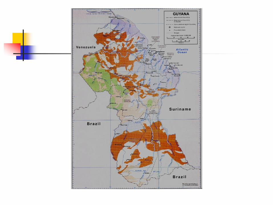
Guyana – situated on the North East Coast of South America.Area – 215,000 sq. km.Population – 775,000.
Population concentrated on the narrow coastal strip, 5 – 15 km. deep, from the Pomeroon to Corentyne rivers. All agricultural & industrial activities concentrated in this area.This strip is part of the coastal area, which is below the high tide level of the Atlantic ocean, & thus subjected to flooding from the ocean.
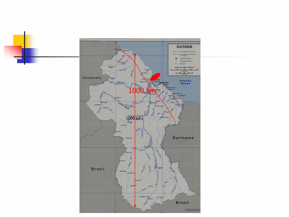
1000 km.
1000 km.
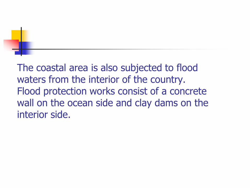
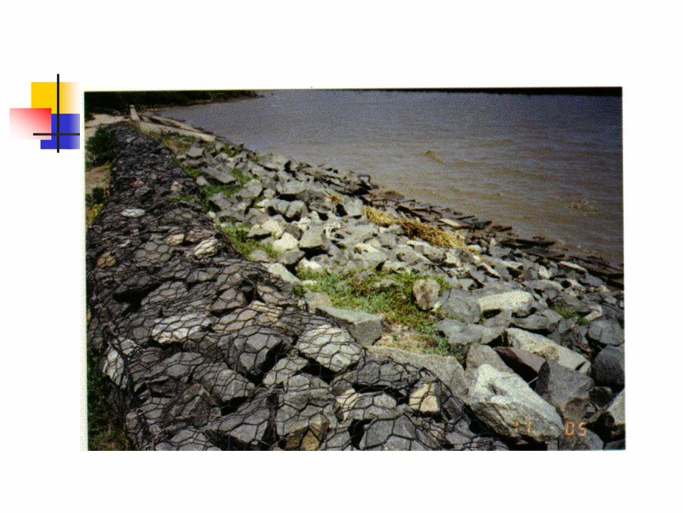
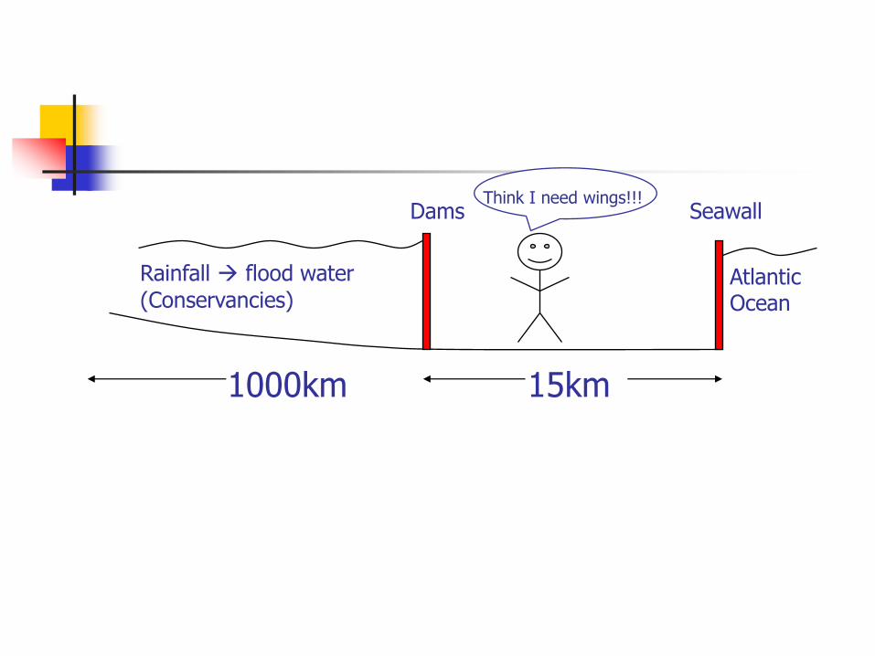
The coastal area is also subjected to flood waters from the interior of the country. Flood protection works consist of a concrete wall on the ocean side and clay dams on the interior side.
1000km 15km
Rainfall flood water
(Conservancies)AtlanticOcean
Dams SeawallThink I need wings!!!
Climate – High rainfall & humidity;narrow range of temperature typical of the equatorial region.
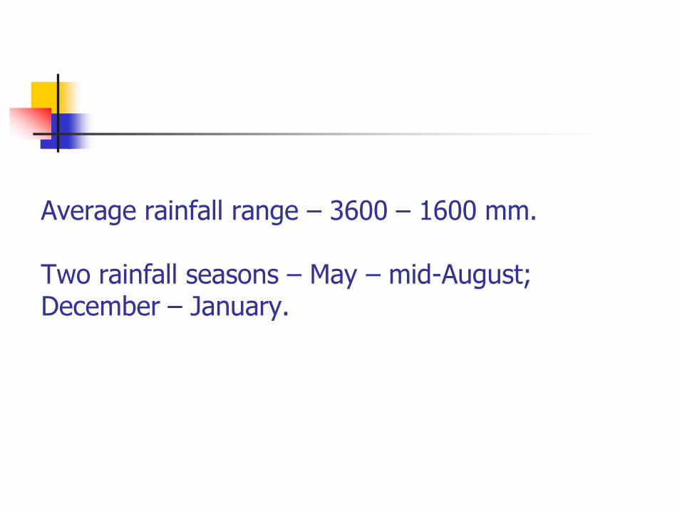
Average rainfall range – 3600 – 1600 mm.
Two rainfall seasons – May – mid-August; December – January.
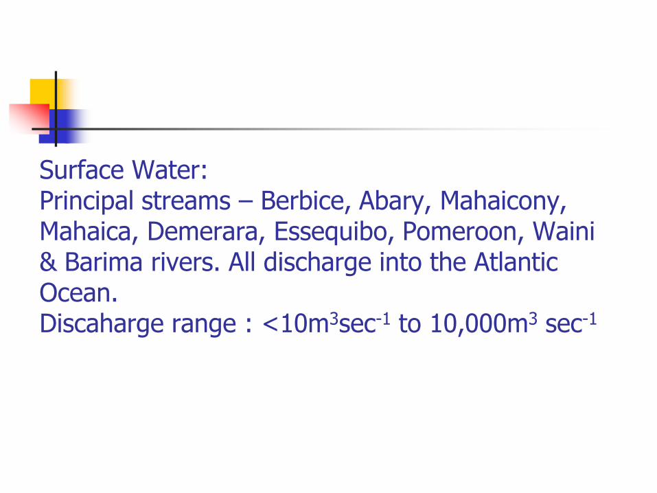
Surface Water:Principal streams – Berbice, Abary, Mahaicony, Mahaica, Demerara, Essequibo, Pomeroon, Waini & Barima rivers. All discharge into the Atlantic Ocean.Discaharge range : <10m3sec-1 to 10,000m3 sec-1
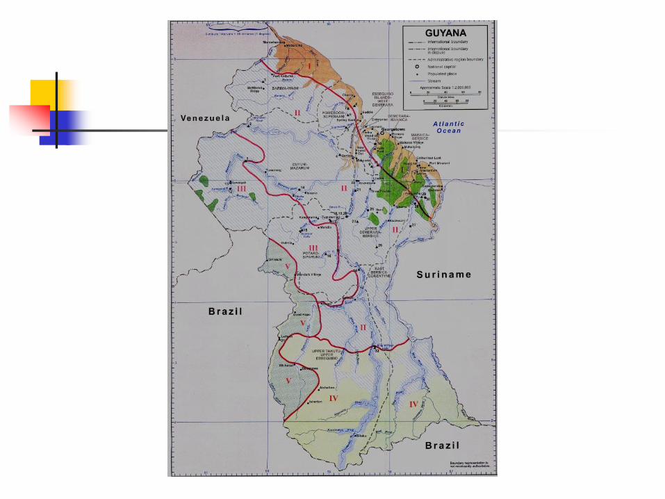
Surface water resources of Guyana.
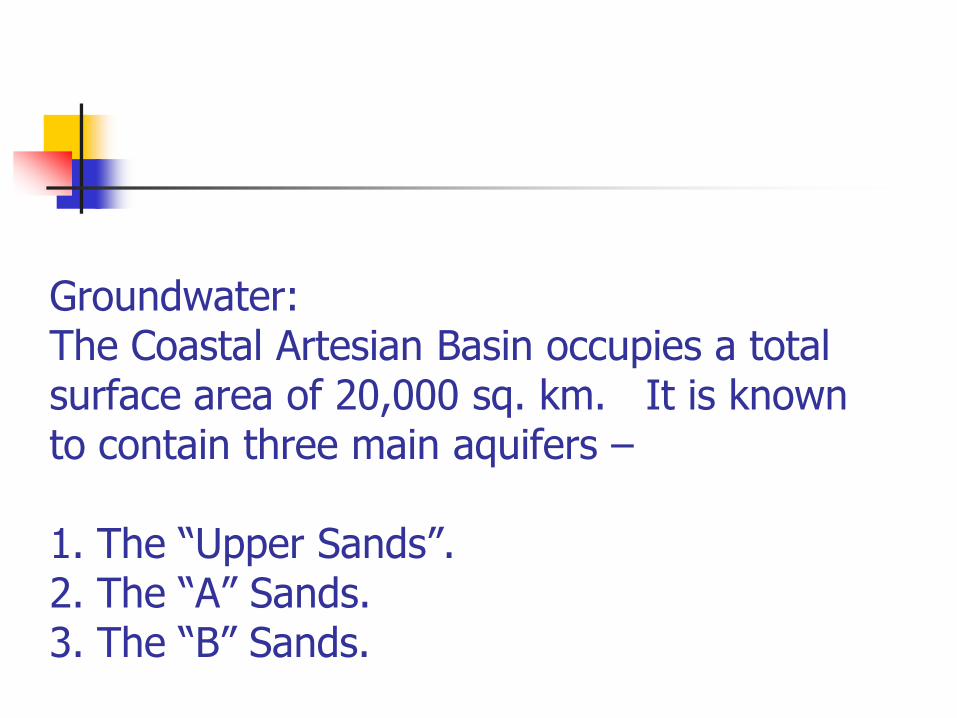
Groundwater:The Coastal Artesian Basin occupies a total surface area of 20,000 sq. km. It is known to contain three main aquifers –
1. The “Upper Sands”.2. The “A” Sands.3. The “B” Sands.
Ground Water Resources of Guyana
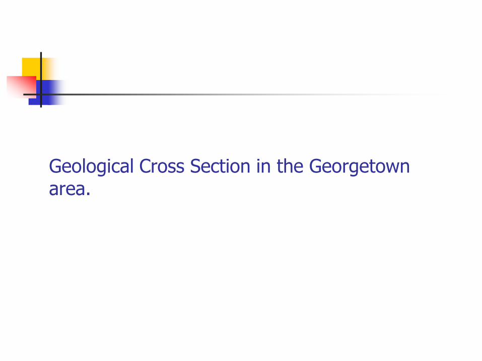
Geological Cross Section in the Georgetown area.
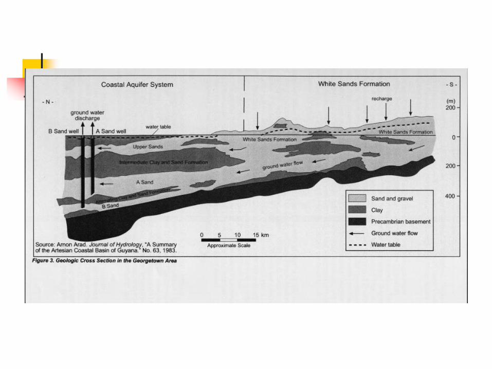
Description – (Gibson, 1971).
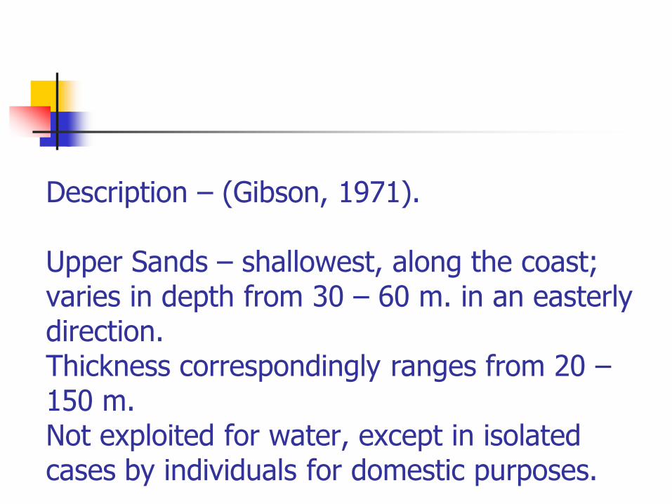
Upper Sands – shallowest, along the coast; varies in depth from 30 – 60 m. in an easterly direction. Thickness correspondingly ranges from 20 –150 m. Not exploited for water, except in isolated cases by individuals for domestic purposes.

“A” Sands aquifer – underlies the “Upper” Sands. Almost all of the country’s domestic water supply is obtained from this aquifer.
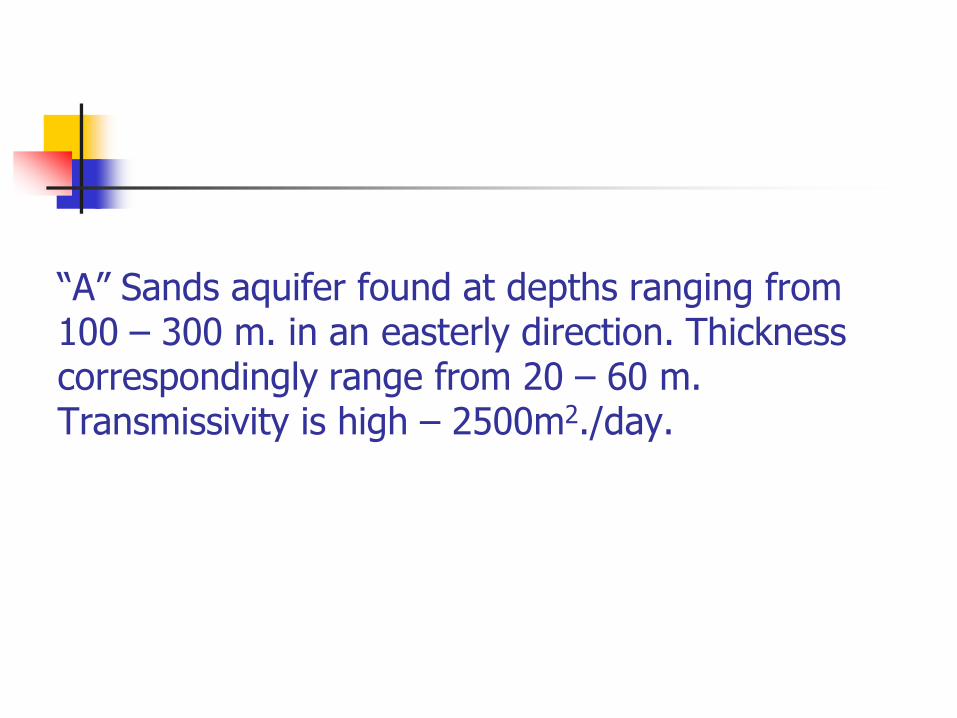
“A” Sands aquifer found at depths ranging from 100 – 300 m. in an easterly direction. Thickness correspondingly range from 20 – 60 m. Transmissivity is high – 2500m2./day.
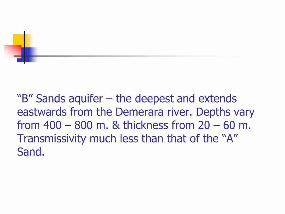
“B” Sands aquifer – the deepest and extends eastwards from the Demerara river. Depths vary from 400 – 800 m. & thickness from 20 – 60 m. Transmissivity much less than that of the “A” Sand.
SEA WATER INTRUSION INTO RIVERS. The Problem.When the fresh water from a river empties into the ocean, the saline water tends to propagate into the river mouth, resulting in contamination of the river in its lower reaches. The density of saline water is higher than that of fresh water; this results in the saline water sliding over the bottom of the river in an upstream direction against the flow of the river.
This sea water intrusion can be discerned up to several tens of kilometers upstream, and under extreme conditions, the reach of the river affected can extend for more than two hundred kilometers.
The differences in density between salt and fresh water have the major effect of causing
stratification in estuaries.
To overcome this stratification mixing within the water body is required; this in turn requires energy. This energy is supplied by tidal flow which induces turbulence and effects the mixing. Stratification is therefore most pronounced in estuaries through which a river issues into a non-tidal sea, while it is weaker when tidal action is strong.

On this basis Pritchard(1955) and Cameron & Pritchard(1963) have classified estuaries according to their stratification and salinity distribution. They define the following types of estuaries:highly stratified salt-wedge type estuaries;partly mixed estuarieswell mixed estuaries.
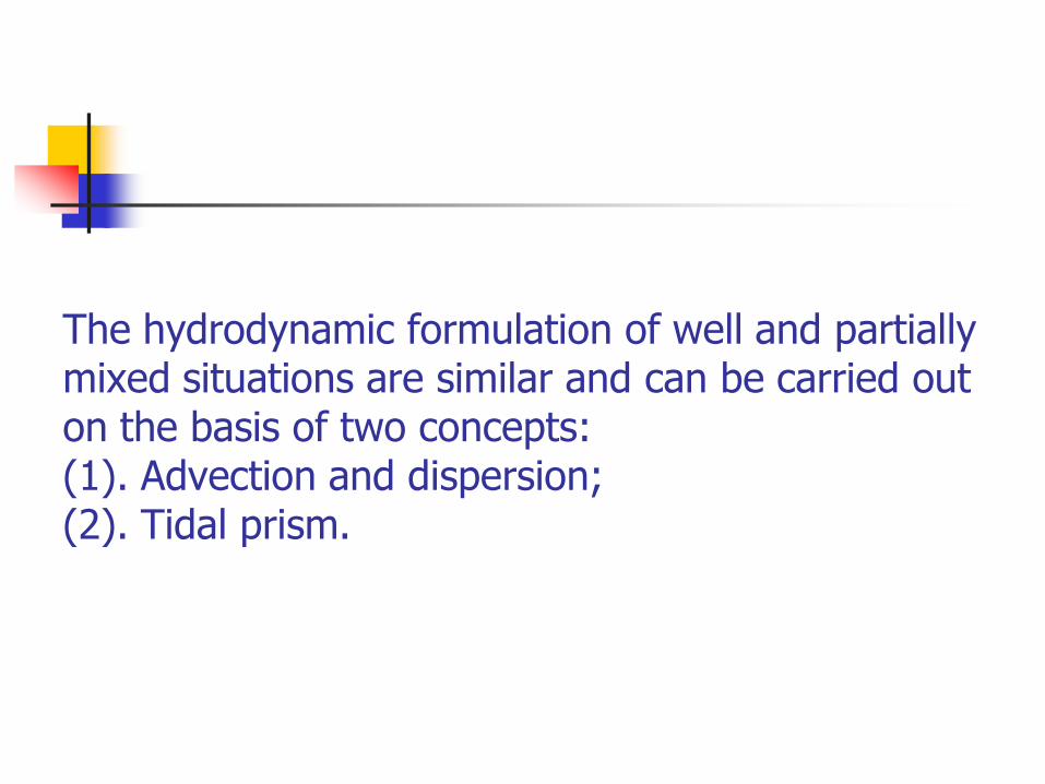
The hydrodynamic formulation of well and partially mixed situations are similar and can be carried out on the basis of two concepts:(1). Advection and dispersion;(2). Tidal prism.
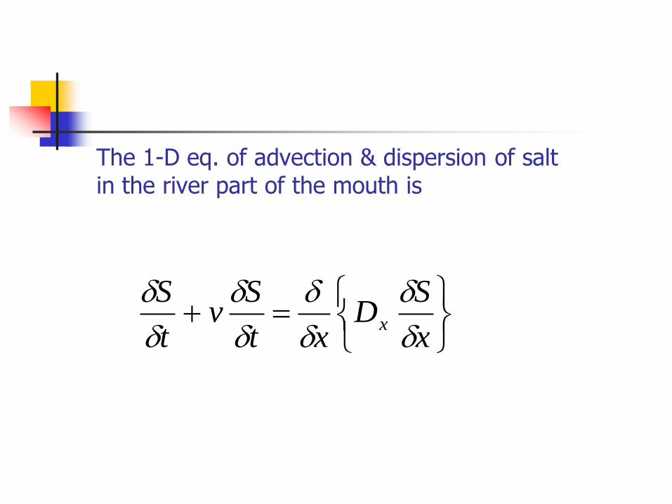
The 1-D eq. of advection & dispersion of salt in the river part of the mouth is
x
SD
xt
Sv
t
Sx
S = water salinityv = flow velocityDx = longitudinal dispersion coefficient
Solution of this equation gives an expression for the distance over which brackish water will extend in the river, in terms of the sea water salinity and the fresh water discharge averaged over the tidal cycle.
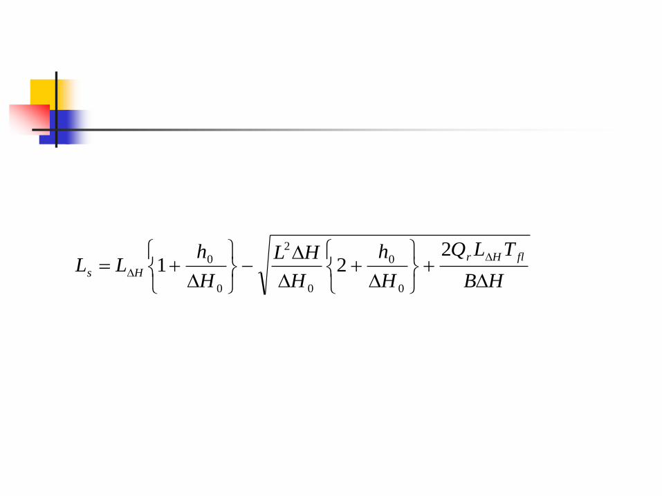
V.N.Mikhailov (1971) deduced an expression for computation of sea water intrusion into a river:
HB
TLQ
H
h
H
HL
H
hLL
flHr
Hs
221
0
0
0
2
0
0
where:Qr = river discharge averaged over
the tidal period.H0 = tidal range at the coastal edge
of the river channel.LH = maximum distance of
penetration of tidal water level variations at given Qr.
Tfl = duration of flood tide phase. h0 = channel depth at the ebb tide.B = average channel width.
The concept of advection and dispersion allows for the consideration of the longitudinal distribution of water salinity along the river part of the mouth area and to estimate the length of tidal averaged intrusion of brackish water with a given river discharge.
The concept of tidal prism allows for an estimation of the maximum limit of intrusion of salt water into the river during flood tide.
The foregoing analyses have been applied to the Mahaica, Demerara and Essequibo rivers, to calculate the extent of salt and brackish
water into the rivers.
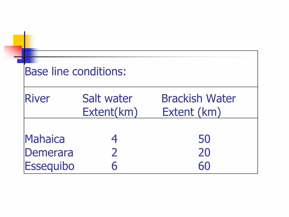
Base line conditions:
River Salt water Brackish WaterExtent(km) Extent (km)
Mahaica 4 50Demerara 2 20Essequibo 6 60
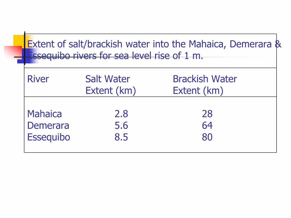
Extent of salt/brackish water into the Mahaica, Demerara & Essequibo rivers for sea level rise of 1 m.
River Salt Water Brackish WaterExtent (km) Extent (km)
Mahaica 2.8 28Demerara 5.6 64Essequibo 8.5 80
SALTWATER INTRUSION INTO AQUIFERS.Large numbers of coastal aquifers are already experiencing salt water intrusion caused by both natural and man-induced processes. Sea level rise will only aggravate such situations.
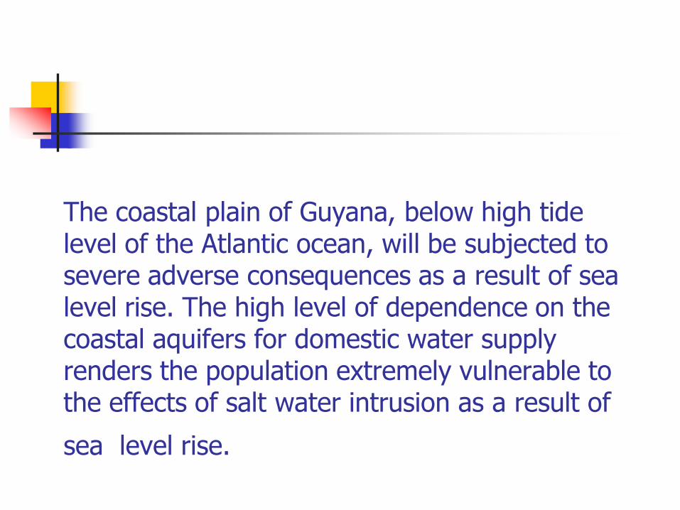
The coastal plain of Guyana, below high tide level of the Atlantic ocean, will be subjected to severe adverse consequences as a result of sea level rise. The high level of dependence on the coastal aquifers for domestic water supply renders the population extremely vulnerable to the effects of salt water intrusion as a result of
sea level rise.
r
r
w
w
pw Qgpk
kt
U
U
pS
t
p
p
SSS
)).((.0
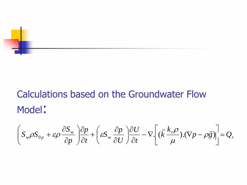
Calculations based on the Groundwater Flow
Model:
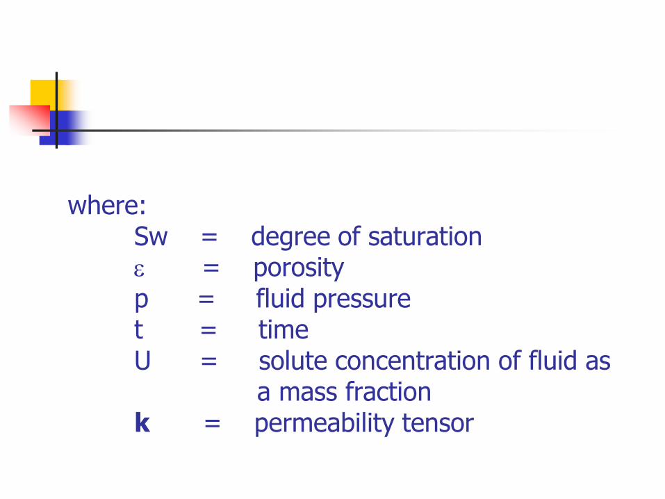
where:Sw = degree of saturation = porosityp = fluid pressuret = time U = solute concentration of fluid as
a mass fractionk = permeability tensor
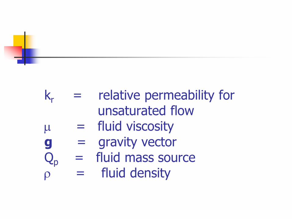
kr = relative permeability for unsaturated flow
= fluid viscosityg = gravity vectorQp = fluid mass source = fluid density
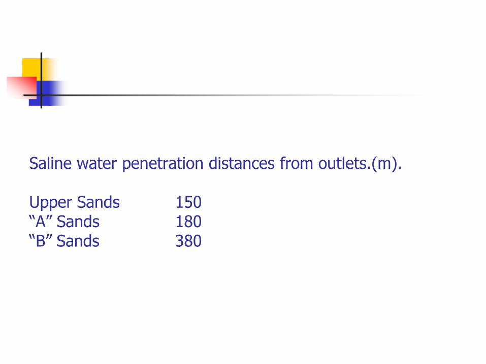
Saline water penetration distances from outlets.(m).
Upper Sands 150“A” Sands 180“B” Sands 380
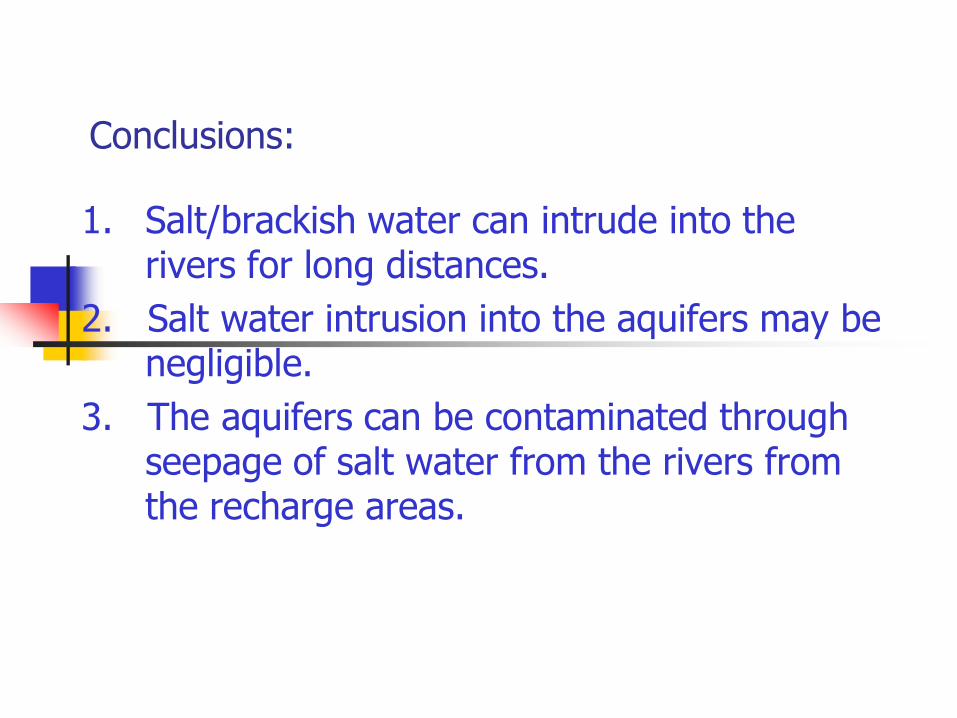
Conclusions:
1. Salt/brackish water can intrude into the rivers for long distances.
2. Salt water intrusion into the aquifers may be negligible.
3. The aquifers can be contaminated through seepage of salt water from the rivers from the recharge areas.

Case studies…….Climate Change…?????
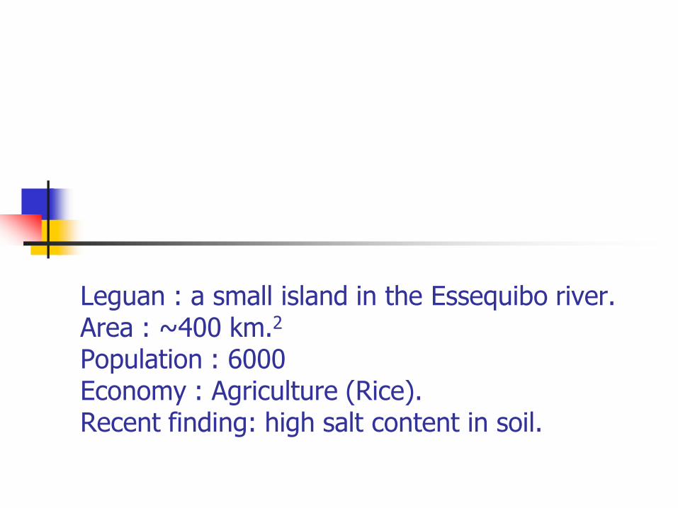
Leguan : a small island in the Essequibo river.Area : ~400 km.2
Population : 6000Economy : Agriculture (Rice).Recent finding: high salt content in soil.
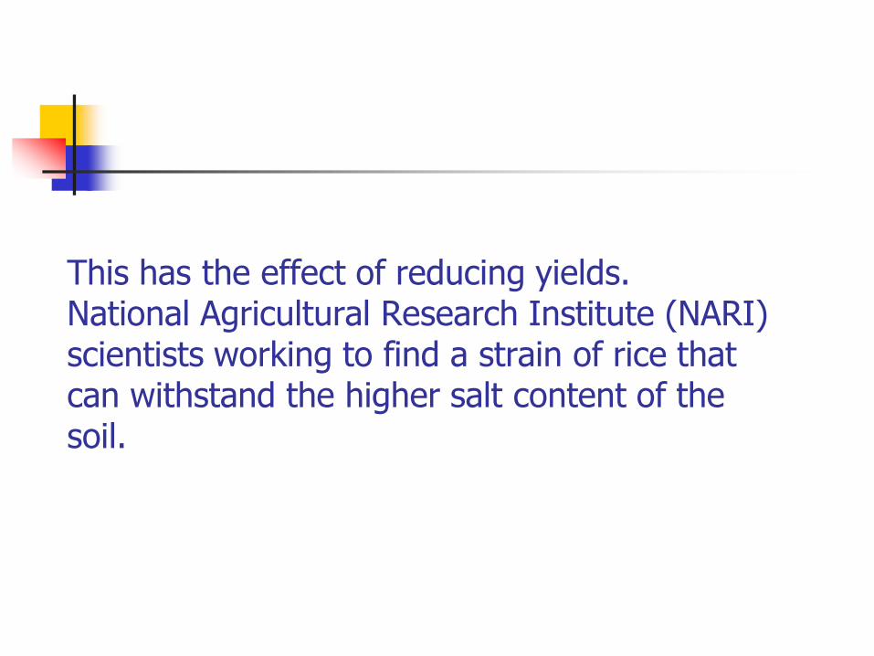
This has the effect of reducing yields. National Agricultural Research Institute (NARI) scientists working to find a strain of rice that can withstand the higher salt content of the soil.
Reason for the higher salt content….????
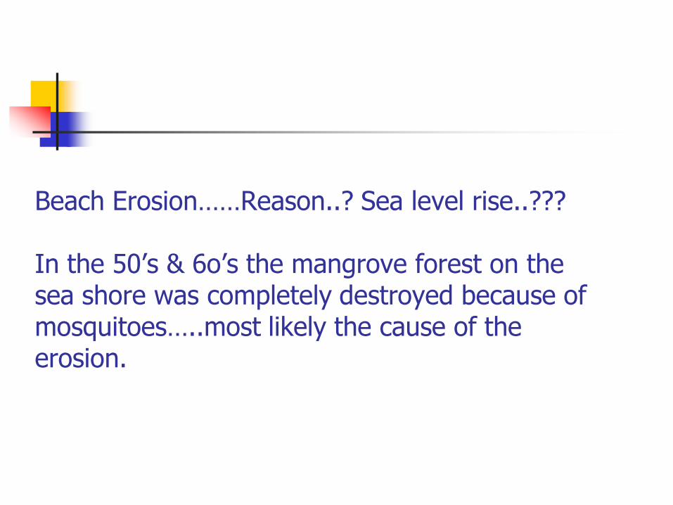
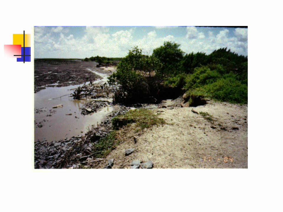
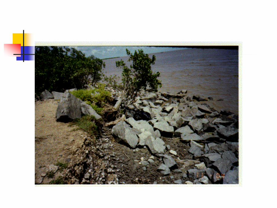
Beach Erosion……Reason..? Sea level rise..???
In the 50’s & 6o’s the mangrove forest on the sea shore was completely destroyed because of mosquitoes…..most likely the cause of the erosion.
Extreme rainfall in 2004/5 & 2005/6….. Estimated to have return periods of 1000-1500 years. Last occurrence 100 years ago. Result of Climate Change..???