Embed Size (px)
Citation preview
1/21/2021
1
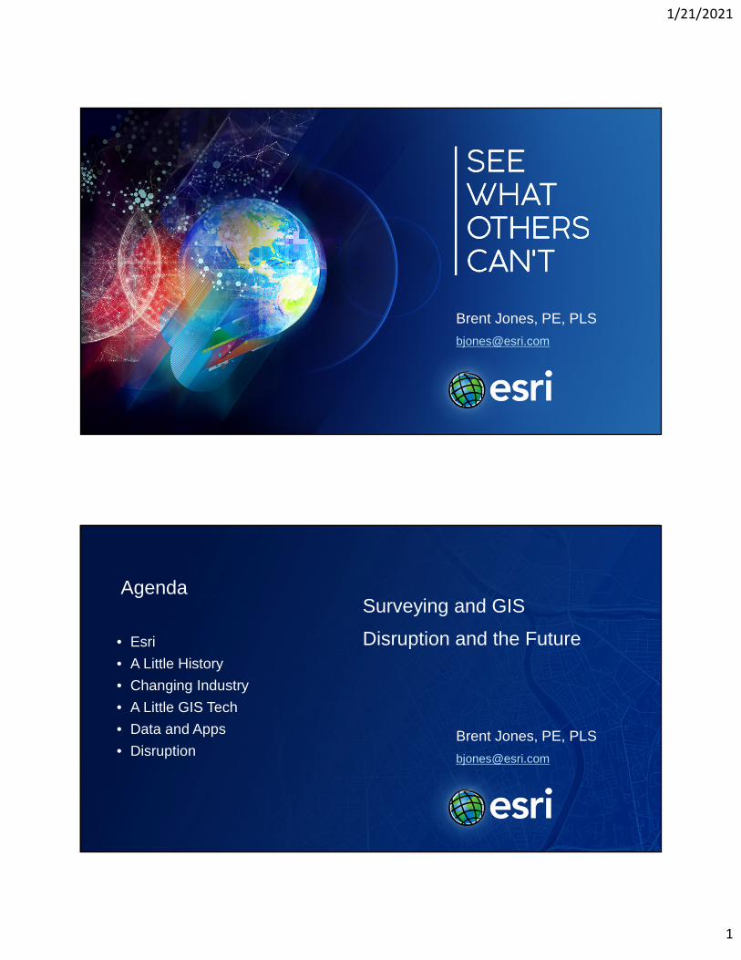
Brent Jones, PE, PLS
Brent Jones, PE, PLS
Agenda
• Esri
• A Little History
• Changing Industry
• A Little GIS Tech
• Data and Apps
• Disruption
Surveying and GIS
Disruption and the Future
1/21/2021
2
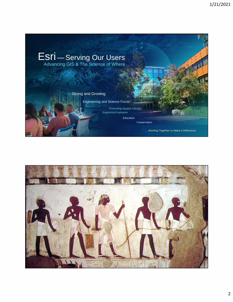
Education
Conservation
Strong and Growing
Engineering and Science Focus
Promoting Spatial Literacy
Supporting Employees
Esri— Serving Our Users
. . . Working Together to Make a Difference
Advancing GIS & The Science of Where
1/21/2021
3
1086
1509 - 1547
1500 - 14.01550 - 24.91551 - 49.31595 - 60.71607 - 62.41620 - 70.6
Year Wool
1/21/2021
4
1623
1776
1/21/2021
5
1803
1812
1/21/2021
6
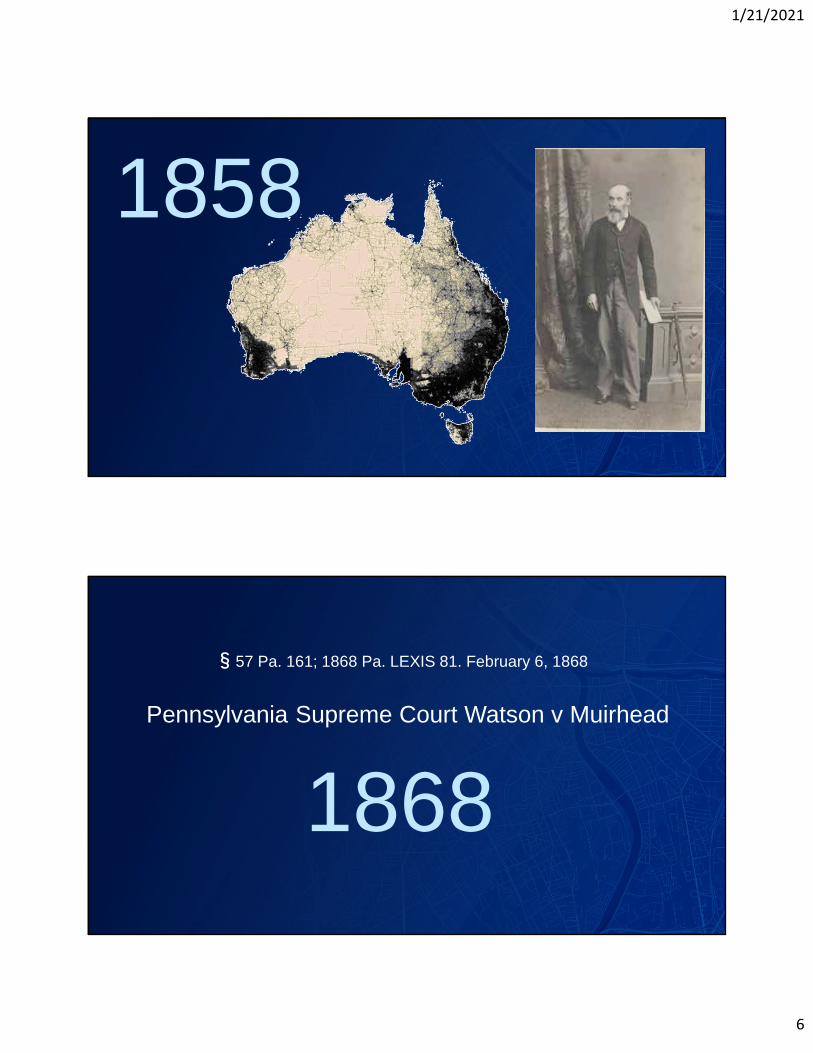
1858
1868
§57 Pa. 161; 1868 Pa. LEXIS 81. February 6, 1868
Pennsylvania Supreme Court Watson v Muirhead
1/21/2021
7
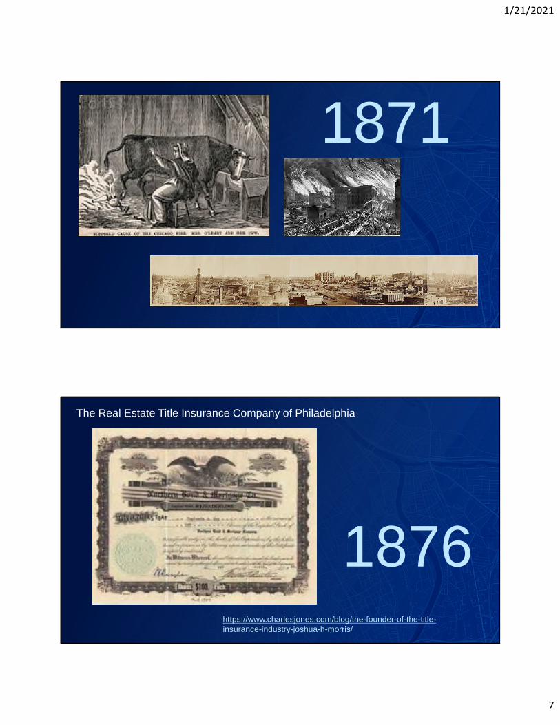
1871
1876
The Real Estate Title Insurance Company of Philadelphia
https://www.charlesjones.com/blog/the-founder-of-the-title-insurance-industry-joshua-h-morris/

1/21/2021
8
https://superscience.scholastic.com/content/dam/classroom-magazines/superscience/issues/2016-17/050117/trapped-in-tar/SS_050117-TrappedInTar-Medium.jpg
1945 - 1954Wolf Ladejinsky
1/21/2021
9
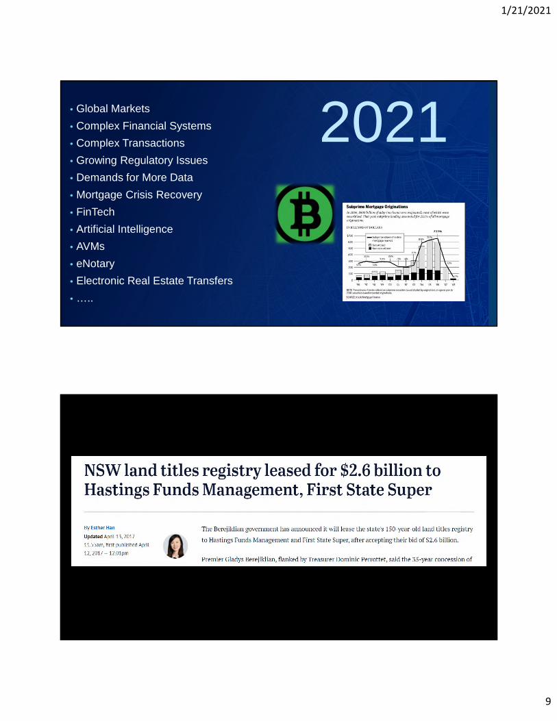
2021• Global Markets
• Complex Financial Systems
• Complex Transactions
• Growing Regulatory Issues
• Demands for More Data
• Mortgage Crisis Recovery
• FinTech
• Artificial Intelligence
• AVMs
• eNotary
• Electronic Real Estate Transfers
• …..
1/21/2021
10
1/21/2021
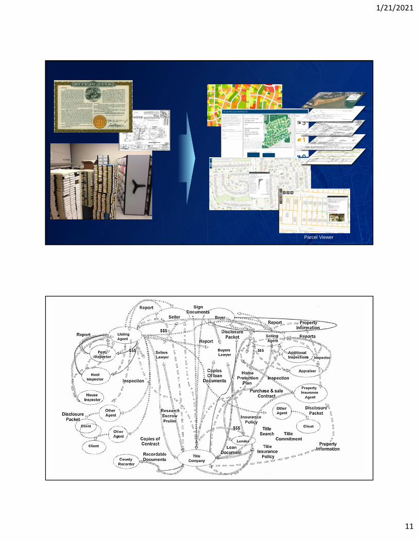
11
Parcel Viewer
1/21/2021
12
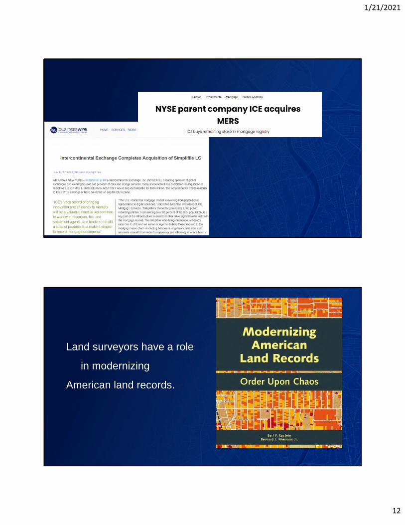
Land surveyors have a role
in modernizing
American land records.
1/21/2021
13
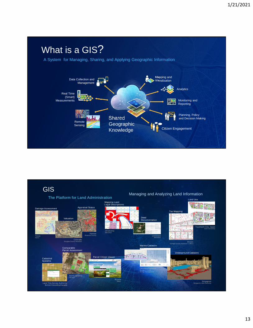
A System for Managing, Sharing, and Applying Geographic Information
Real Time(Smart)
Measurements
SharedGeographicKnowledge
Monitoring andReporting
Analytics
Mapping andVisualization
Planning, Policyand Decision Making
Citizen Engagement
Data Collection andManagement
RemoteSensing
What is a GIS?
Managing and Analyzing Land Information
Damage Assessment
TexasHarris
CadastralSystems
Land Title Survey AuthorityBritish Columbia Canada
Land Use
Toyohashi City, JapanAichi University
Underground Cadastre
SingaporeSingapore Land Authority
Appraisal Status
KansasShawnee County
ComparableParcel Assessment
North CarolinaDEVNET
Parcel Citizen Viewer
RussiaData+
ColoradoDouglas County Assessor
Valuation
Marine Cadastre
Offshore CadastreBureau of OceanEnergy Management
Mapping LandLegal Descriptions
OklahomaWhiteStar
IllinoisDuPage County Assessor’s Office
Tax Mapping
DeedDocumentation
LouisianaWhiteStar
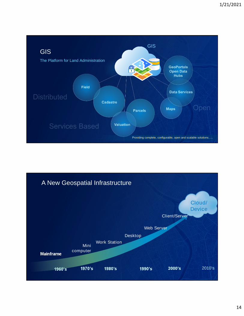
GISThe Platform for Land Administration
1/21/2021
14
GIS
The Platform for Land Administration
GIS
Providing complete, configurable, open and scalable solutions…..
A New Geospatial Infrastructure
1960’s 1980’s 1990’s 2000’s 2010’s1970’s
Mainframe
Minicomputer
Work Station
Desktop
Client/Server
Web Server
Cloud/Device
1/21/2021
15
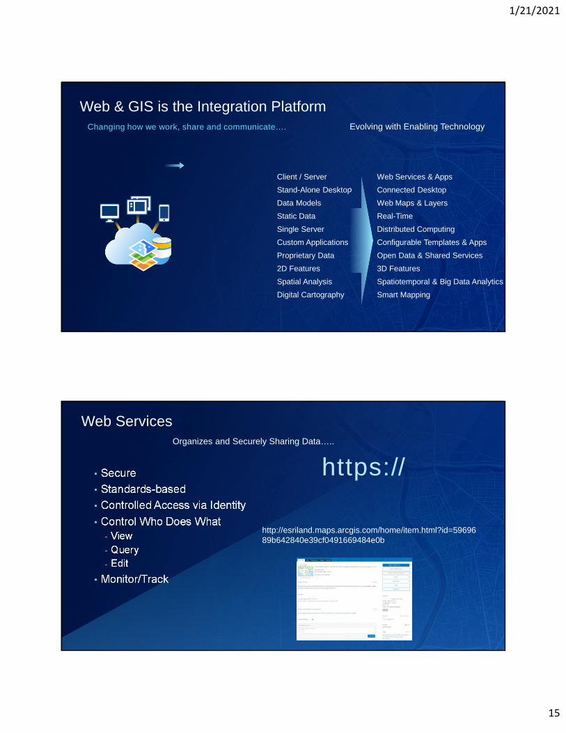
Client / Server Web Services & Apps
Stand-Alone Desktop Connected Desktop
Data Models Web Maps & Layers
Static Data Real-Time
Single Server Distributed Computing
Custom Applications Configurable Templates & Apps
Proprietary Data Open Data & Shared Services
2D Features 3D Features
Spatial Analysis Spatiotemporal & Big Data Analytics
Digital Cartography Smart Mapping
Changing how we work, share and communicate….
Web & GIS is the Integration PlatformEvolving with Enabling Technology
• Secure
• Standards-based
• Controlled Access via Identity
• Control Who Does What
- View
- Query
- Edit
• Monitor/Track
Web ServicesOrganizes and Securely Sharing Data…..
https://
http://esriland.maps.arcgis.com/home/item.html?id=5969689b642840e39cf0491669484e0b
1/21/2021
16
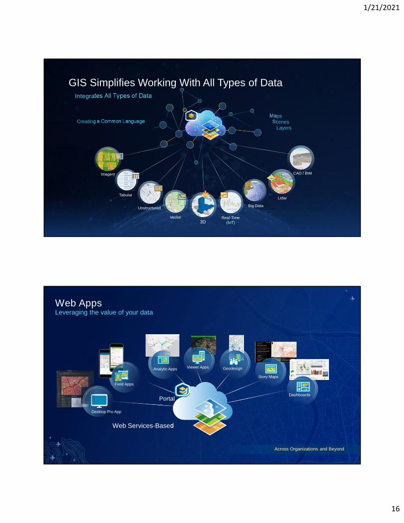
Creating a Common LanguageMaps
ScenesLayers
Integrates All Types of Data
Imagery
Lidar
3DVector
Tabular
Real-Time(IoT)
Big DataUnstructured
CAD / BIM
GIS Simplifies Working With All Types of Data
Dashboards
Story Maps
GeodesignViewer AppsAnalytic Apps
Field Apps
Across Organizations and Beyond
Desktop Pro App
Web Services-Based
Web AppsLeveraging the value of your data
Portal
1/21/2021
17
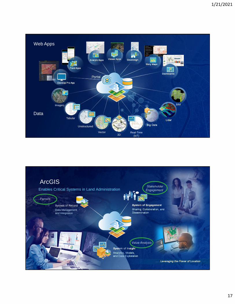
Dashboards
Story Maps
GeodesignViewer AppsAnalytic Apps
Field Apps
Desktop Pro App
Portal
Imagery
Lidar
3DVector
Tabular
Real-Time(IoT)
Big DataUnstructured
BIM
Web Apps
Data
System of Insight
Analytics, Models,and Data Exploration
System of Engagement
Sharing, Collaboration, andDissemination
System of Record
Data Managementand Integration
. . . Leveraging the Power of Location
ArcGISEnables Critical Systems in Land Administration
1/21/2021
18
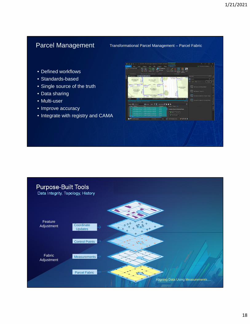
Parcel Management Transformational Parcel Management – Parcel Fabric
• Defined workflows
• Standards-based
• Single source of the truth
• Data sharing
• Multi-user
• Improve accuracy
• Integrate with registry and CAMA
Purpose-Built ToolsData Integrity, Topology, History
Aligning Data Using Measurements....
CoordinateUpdates
Control Points
Measurements
Parcel Fabric
FeatureAdjustment
FabricAdjustment
1/21/2021
19
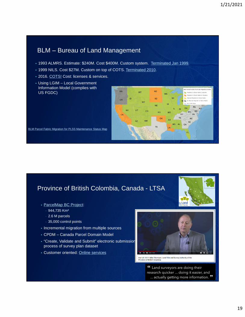
BLM – Bureau of Land Management
• 1993 ALMRS. Estimate: $240M. Cost $400M. Custom system. Terminated Jan 1999.
• 1999 NILS. Cost $27M. Custom on top of COTS. Terminated 2010.
• 2016. COTS! Cost: licenses & services.
• Using LGIM – Local GovernmentInformation Model (complies withUS FGDC)
BLM Parcel Fabric Migration for PLSS Maintenance Status Map
Province of British Colombia, Canada - LTSA
• ParcelMap BC Project:
- 944,735 Km²
- 2.6 M parcels
- 35,000 control points
• Incremental migration from multiple sources
• CPDM – Canada Parcel Domain Model
• “Create, Validate and Submit” electronic submissionprocess of survey plan dataset
• Customer oriented: Online services

1/21/2021
20
World’s Largest Media Company
• No Journalists
• No Content Producers
• No Photographers
World’s Largest Hospitality Company
• No Rooms
• No Receptionists
• No Free Breakfast
1/21/2021
21
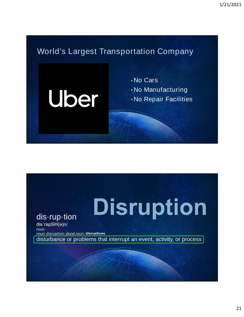
World’s Largest Transportation Company
• No Cars
• No Manufacturing
• No Repair Facilities
dis·rup·tiondisˈrəpSH(ə)n/nounnoun: disruption; plural noun: disruptions
disturbance or problems that interrupt an event, activity, or process
1/21/2021
22
Enabling Technology for This Disruption
Combining innovations power disruption….

1/21/2021
23
1/21/2021
24
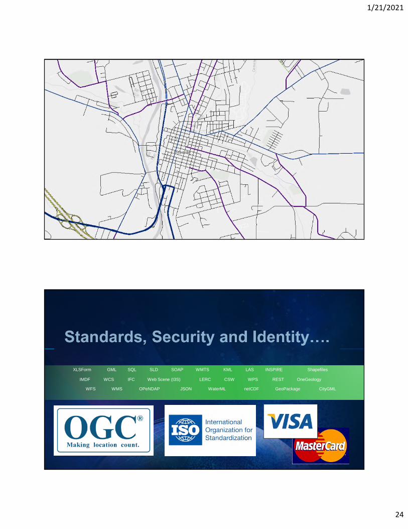
REST
OPeNDAPWMS
WCS CSW
GML
WFS
KMLWMTSSLD
GeoPackage
SOAP
IFC
LAS
netCDF
SQL
JSON WaterML CityGML
OneGeologyLERC
Shapefiles
Web Scene (I3S)
INSPIREXLSForm
WPSIMDF

1/21/2021
25
www.limely.co.uk/google-street-view-cameras-upgrade
www.nationalparks.nsw.gov.au/google-trekker
https://pbs.twimg.com/media/DOld6AxWkAAVPKx.jpg
1/21/2021
26
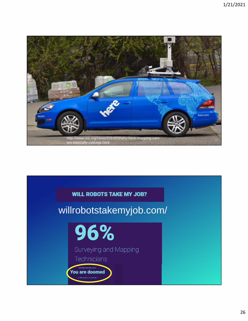
http://www.ros.org/news/2014/03/why-here-mapping-cars-are-basically-cyborgs.html
willrobotstakemyjob.com/
1/21/2021
27
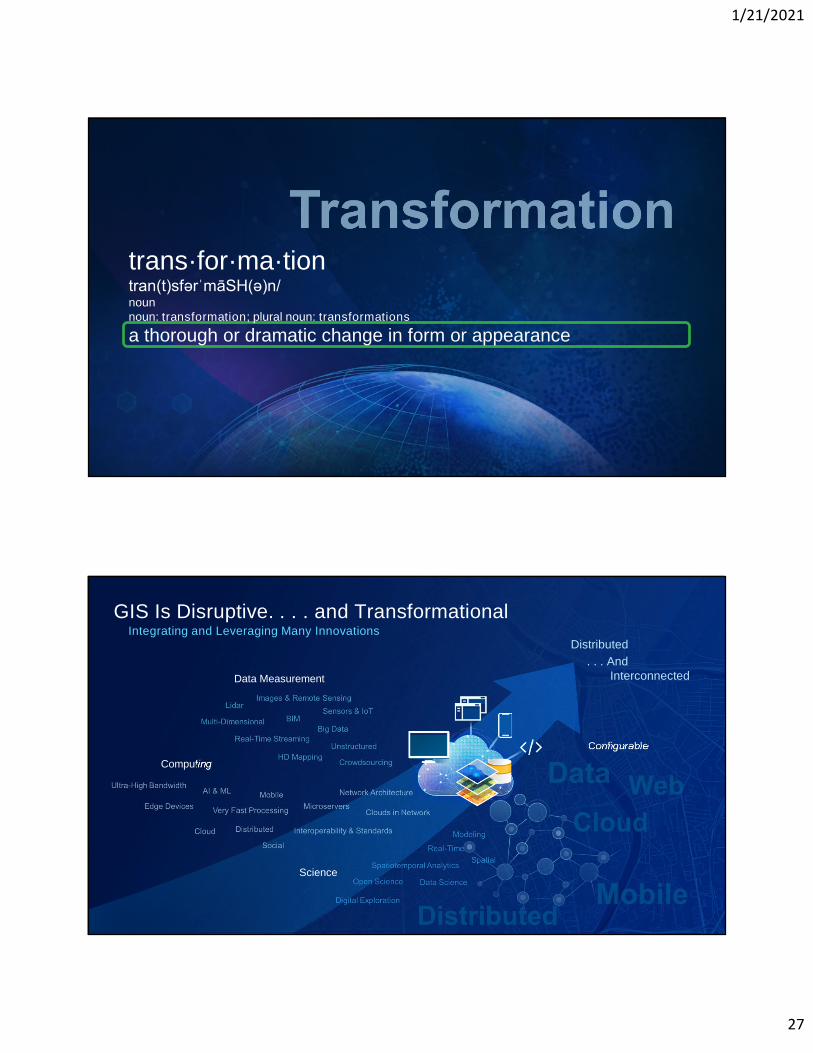
trans·for·ma·tiontran(t)sfərˈmāSH(ə)n/nounnoun: transformation; plural noun: transformations
a thorough or dramatic change in form or appearance
Computing
Data Measurement
Science
GIS Is Disruptive. . . . and TransformationalIntegrating and Leveraging Many Innovations
Configurable
Distributed
. . . AndInterconnected
1/21/2021
28
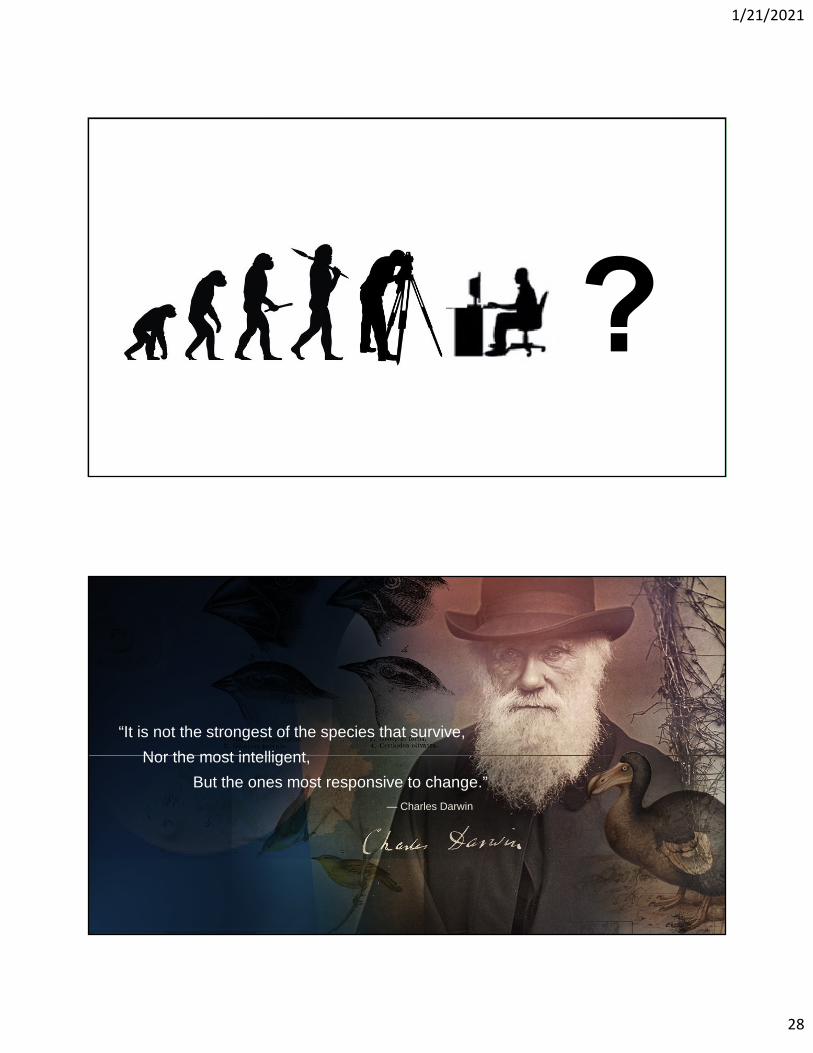
— Charles Darwin
“It is not the strongest of the species that survive,
Nor the most intelligent,
But the ones most responsive to change.”