Embed Size (px)
Citation preview

A New CollaborativeModel for GeospatialTechnology Educationin a Rural Region
Tora JohnsonUniversity of Maine at Machias

A New Collaborative Model for Geospatial Technology Education in a Rural Region

Maine Geospatial Curriculum Consortium

Project Partners & Advisors
• Maine GIS Users Group• Maine Office of GIS• CREST CCLI Project• Maine Dept. of Education• Maine Learning Technology Initiative• Maine GeoLibrary Board• Maine State GIS Stakeholders Group• Maine Emergency Management Agency• Center for Community GIS• Maine Geographic Alliance• Maine Land Conservation Alliance• Maine Association of Planners• Maine Municipal Association• Maine 4H Extension• Greenland Point Center• Maine Sea Grant• Maine Dept. of Marine Resources• ESRI, Inc.• Partnership for Environmental Technology Education (PETE)• AgrowKnowledge• Marine Advanced Technology Education Center

A New Collaborative Model for Geospatial Technology Education in a Rural Region
Rural areas & small schools have unique challenges & mandates...
We serve primarily ancillary users
Applications of geospatial technology are different
Schools, businesses, organizations & agencies are smaller
Emerged from national discourse on the future of geospatial technology education
A New Collaborative Model for Geospatial Technology Education in a Rural Region
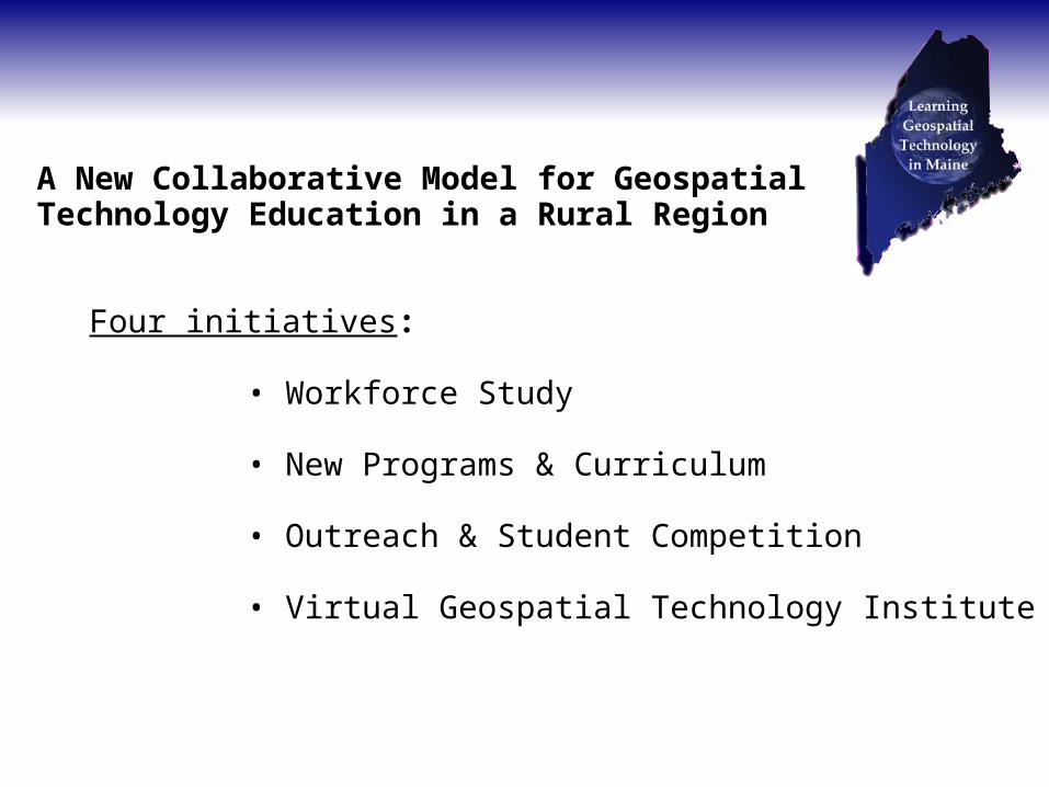
Four initiatives:
• Workforce Study
• New Programs & Curriculum
• Outreach & Student Competition
• Virtual Geospatial Technology Institute

Workforce Study on Education Needs
• Focus on ancillary users in a variety of fields
• Focus group interviews
• Survey research
• Including...
– Employers– Current users– Current non-GIS users

Workforce Study
Previous studies show need for more accessible and applied education, esp. for ancillary users:
• Municipal employees
• Land conservation professionals
• Marine conservation professionals
• Preliminary workforce education survey

Preliminary Workforce Survey
94 responses
Over half (54%) were ancillary users;
38% were geospatial specialists
Majority said GST will be increasingly important in their field and growing demand
Ancillary users perceived to be in greater demand

Preliminary Workforce Survey
Barriers to using GIS
High cost of education was most cited barrier to using GIS
Distance from training facilities
Lack of time
Lack of curriculum focusing on their needs & applications
→ Widespread desire for more flexible training/ education
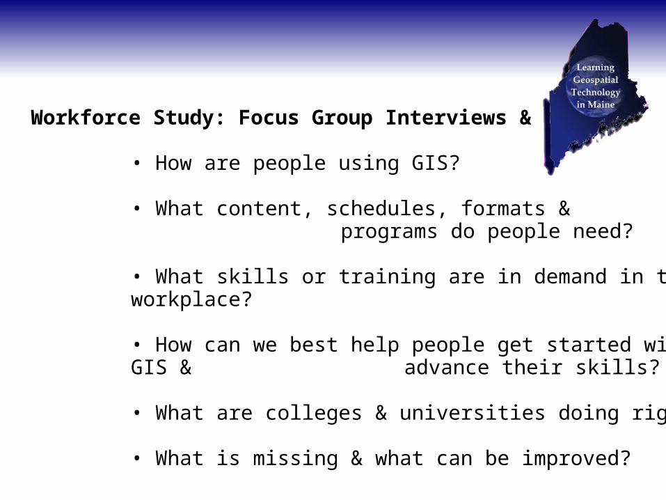
Workforce Study: Focus Group Interviews & Survey
• How are people using GIS?
• What content, schedules, formats & programs do people need?
• What skills or training are in demand in the workplace?
• How can we best help people get started with GIS & advance their skills?
• What are colleges & universities doing right?
• What is missing & what can be improved?

Workforce Study, Phase 1: Focus Group Interviews
• Maine Municipal Association
• Maine Land Trust Alliance
• Maine State GIS Stakeholders Group
• GeoLibrary Board

Workforce Study- Preliminary Results
How GST is used?
Vast majority are ancillary users, not specifically GIS techs.
Vast majority focus on very basic map-making, citing lack of training as barriers to doing more.
Many industries are not using GIS as much as they could
Upper and middle management are often not using GIS and often don't understand its uses & potential of the technology

Workforce Study- Preliminary Results
For those who use it, how did they learn GIS?
Many learned by the “seat of the pants”
These say major pieces are missing, ie fundamentals & advanced applications
Many reported taking one class in college and/or tutorials, instructor-led courses through software providers
Many state employees have taken training developed by DEP
Many forget/ lose GIS skills because they don't use it often
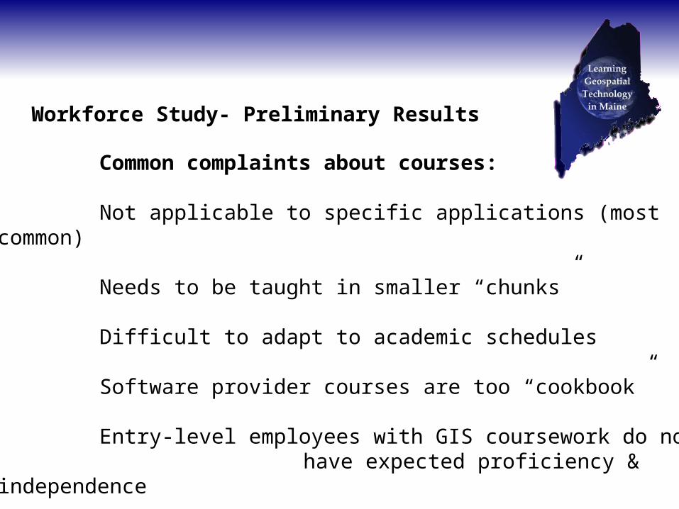
Workforce Study- Preliminary Results
Common complaints about courses:
Not applicable to specific applications (most common)
Needs to be taught in smaller “chunks”
Difficult to adapt to academic schedules
Software provider courses are too “cookbook”
Entry-level employees with GIS coursework do not have expected proficiency & independence
Note contradictions!

Workforce Study- Preliminary Results
Need more instruction in...
Addressing technical glitches & finding workarounds
Managing data and using databases
Cartographic & geographic principles underlying GST

Workforce Study- Preliminary Results
What would accessible & applicable education programs look like?
Directly applicable to the workplace and discipline
Real-world, open-ended problem-solving experience
Integrated into education in core disciplines
Produce independent, competent, and experienced users
Possibly shorter courses or workshops
Convenience & accessibility of distance ed with the personalized attention of on-site courses
Note contradictions!

GST Offerings in Maine
Informal Ed & Camps
K-12
Non-Credit Continuing Ed/ Industry
Courses in Applied GST
AS in Applied GST
Certificate in Applied GST
Concentration/ Minor in GST
BS/ BA in Geog. or Applied GST
Courses in non-GST MS/ MA
MS in Applied GST
SIE MS/ PhD
0 2 4 6 8 10 12 14 16
Before ATEAdded with ATEPlanned

GST Users
Informal/ Casual
Unskilled GST Users
Ancillary GST Users
GST Technicians
GST Analysts
GST Developers
GST Engineers
GST Researchers

GST Offerings vs. GST Users
Education Users

GST Offerings vs. GST Users
Education Users

Aim of Today's Summit
Help us in making recommendations for improving or creating educational...
• Programs
• Policy
• Pedagogy
• Content
• Pathways
• Further Research

Questions for Break-Outs
Strategies for addressing contradictions; GST education should be
- Less cookbook, involve real-world application & experience
- Include fundamentals, ie geographic/ cartographic principles, computing & data management skills
But also...
- Short-term & convenient, adapted to tight schedules

Questions for Break-Outs
How can we respond to workforce needs effectively & efficiently in these specific ways?
- Applicable to disciplines, less cookbook, & involving real-world experiences
- Provide multiple on-ramps, off-ramps & intersections for the GST educational pathways
- Fill the gaps in GST educational pathways
→ While recognizing the constraints of money, time & personnel.

Questions for Break-Outs
How can we best foster mobility among levels and types of education?
InformalK-12
Community College
UniversityGraduate
Industry
Continuing Education

Workforce Study, Phase 2: Survey

Break-Out Groups
- Will have a facilitator & a note taker
- Please elect a spokesperson to report
- Please address the following questions

Next Steps
Draft report will be sent for feedback to...
- All of today's attendees
- ATE grant advisors
- External evaluators

Next Steps
Final report will also be sent to...
- Chancellor & presidents of UMS- President of MCCS & presidents of CCs- GeoLibrary Board
Published on our site: gis.maine.edu