Embed Size (px)
Citation preview
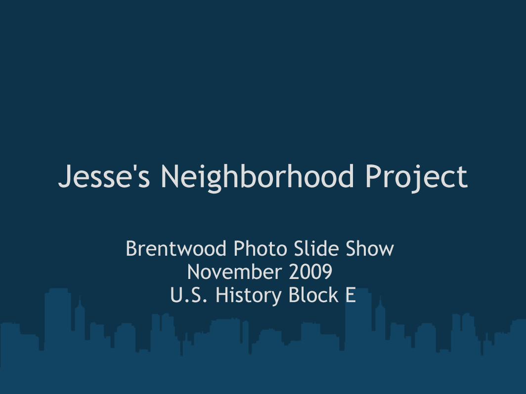
Jesse's Neighborhood Project
Brentwood Photo Slide Show November 2009
U.S. History Block E
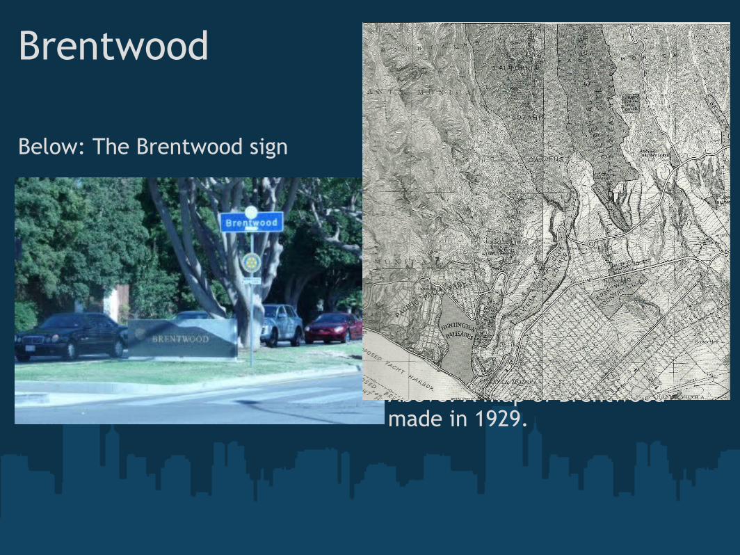
Brentwood
Below: The Brentwood sign
Above: A map of Brentwood made in 1929.
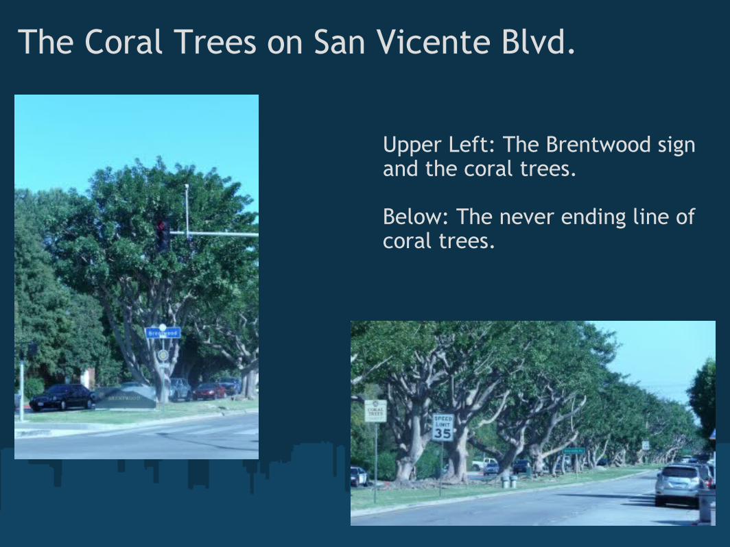
The Coral Trees on San Vicente Blvd.
Upper Left: The Brentwood sign and the coral trees.
Below: The never ending line of coral trees.
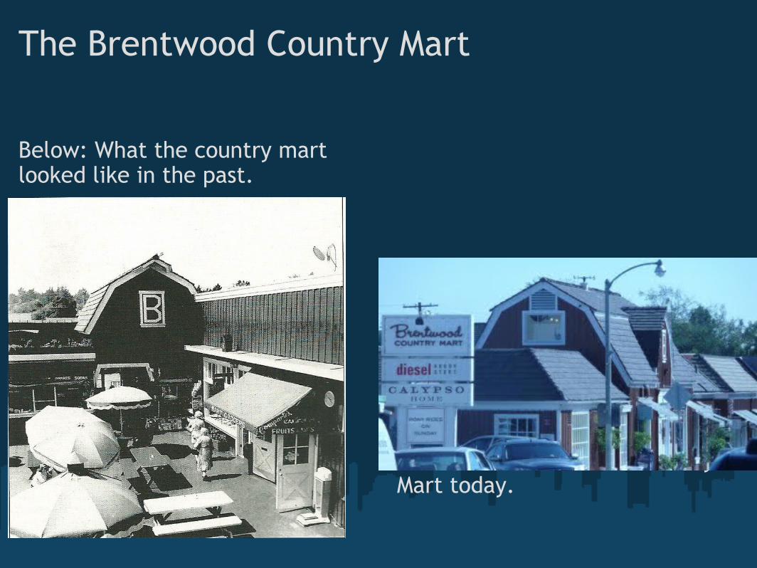
The Brentwood Country Mart
Below: What the country mart looked like in the past.
Above: The Brentwood Country Mart today.
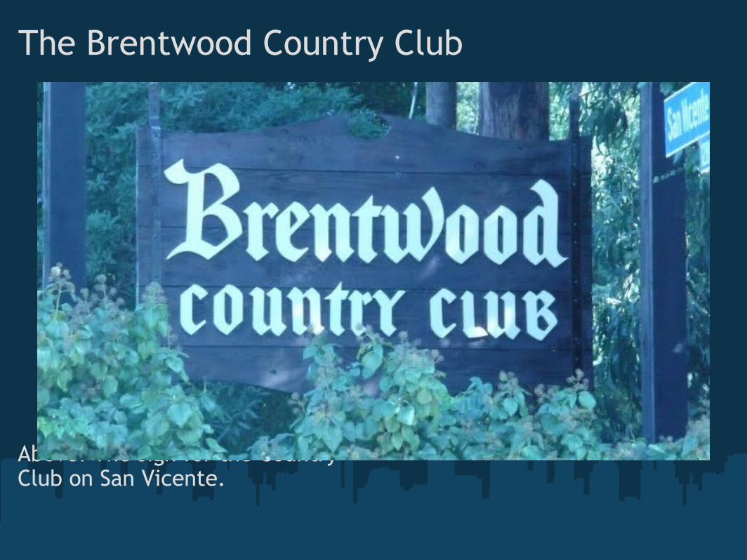
The Brentwood Country Club
Above: The sign for the Country Club on San Vicente.
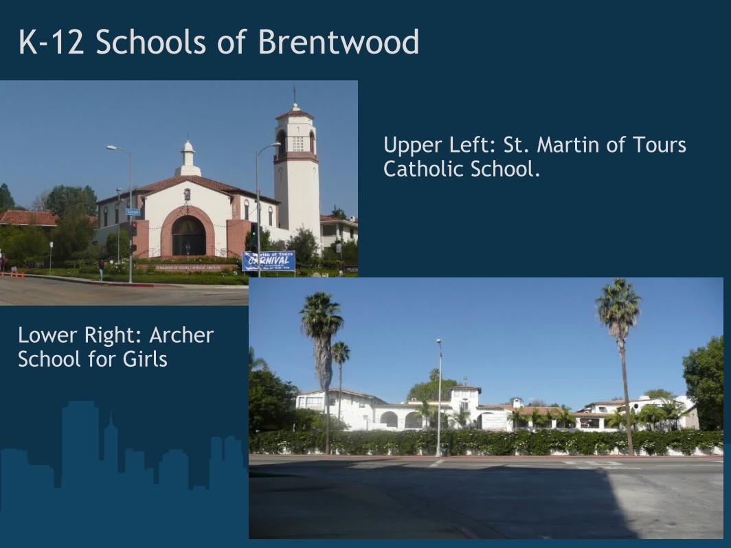
K-12 Schools of Brentwood
Lower Right: ArcherSchool for Girls
Upper Left: St. Martin of Tours Catholic School.
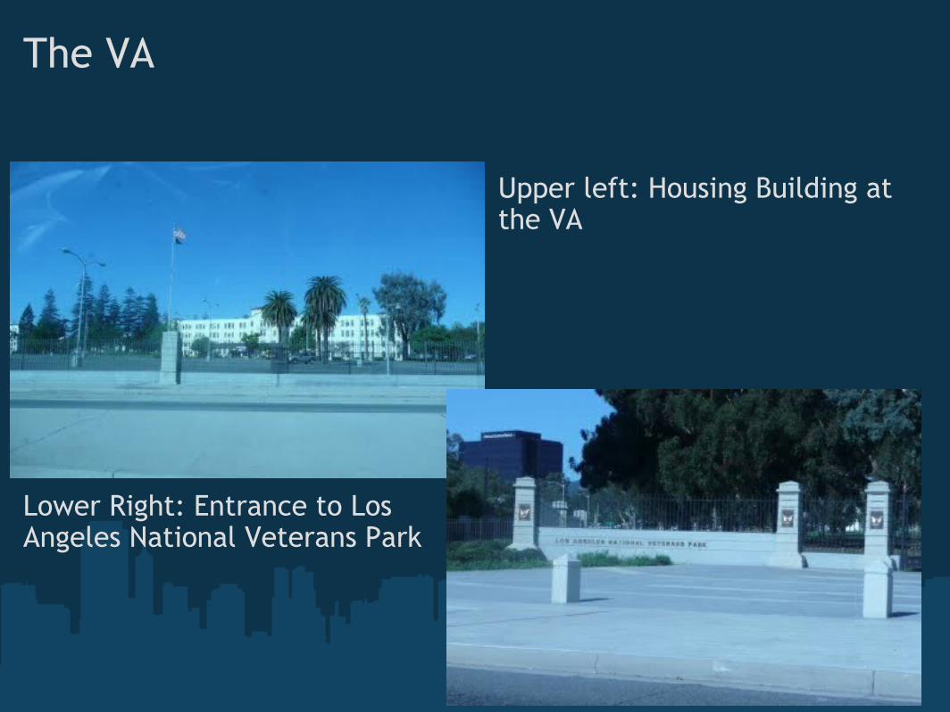
The VA
Lower Right: Entrance to Los Angeles National Veterans Park
Upper left: Housing Building at the VA
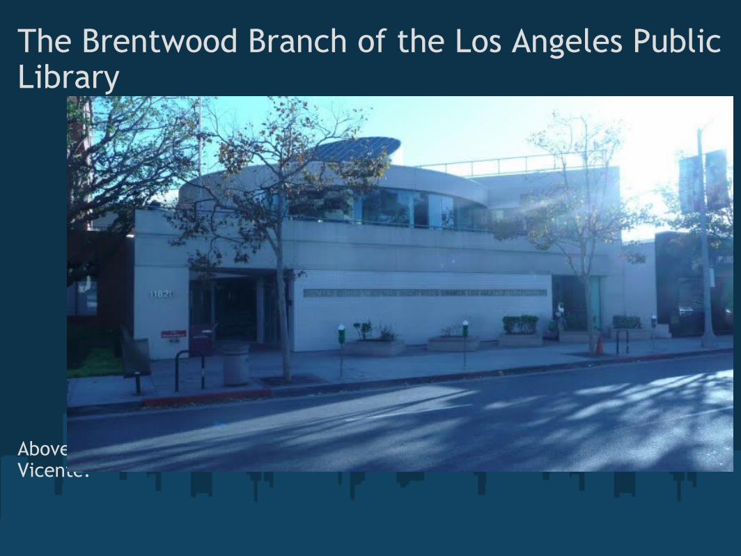
The Brentwood Branch of the Los Angeles Public Library
Above: The front of the library on San Vicente.
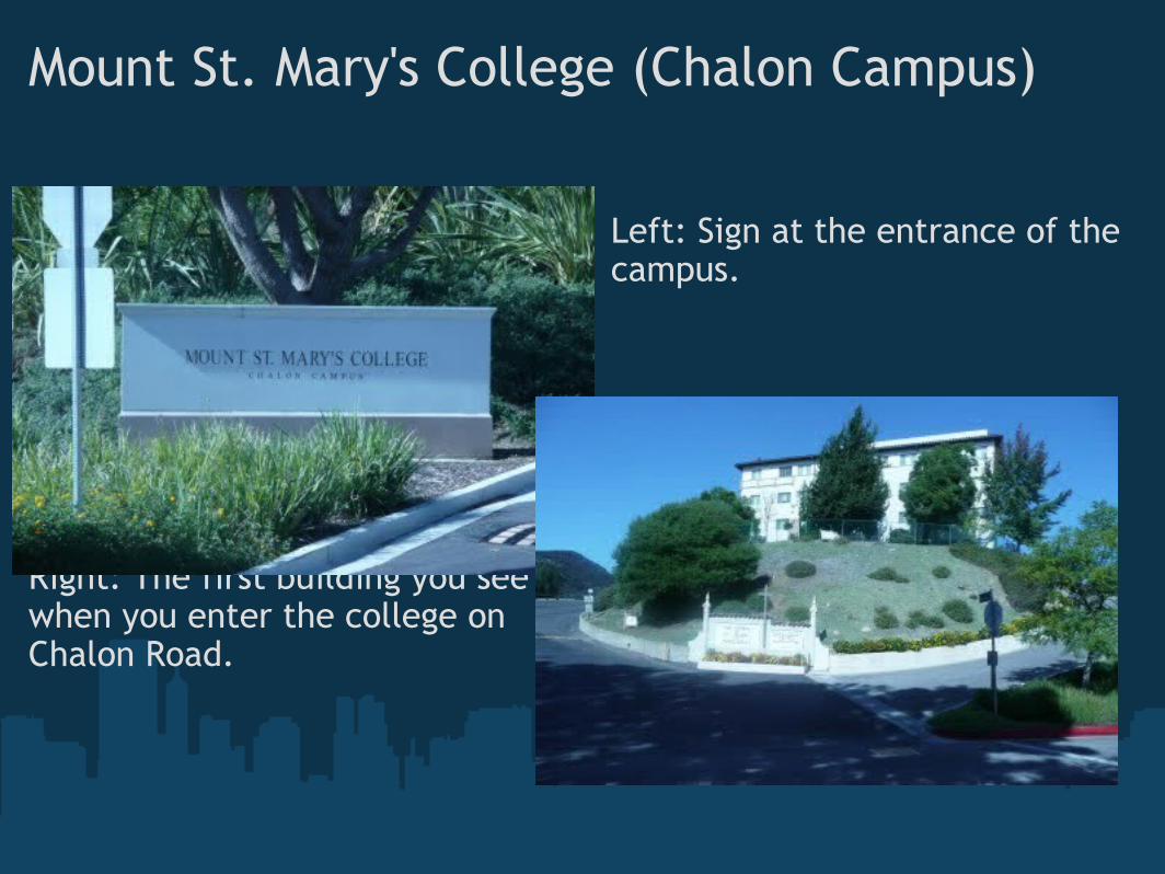
Mount St. Mary's College (Chalon Campus)
Right: The first building you see when you enter the college on Chalon Road.
Left: Sign at the entrance of the campus.
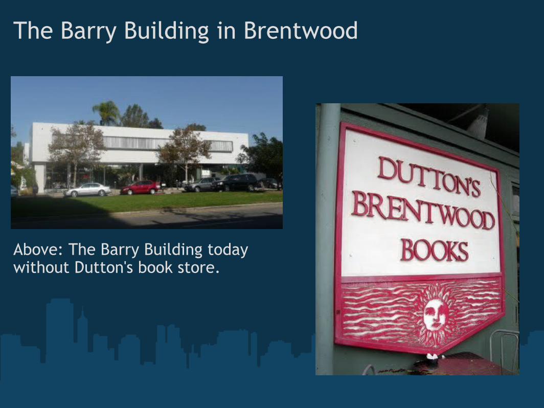
The Barry Building in Brentwood
Above: The Barry Building today without Dutton's book store.
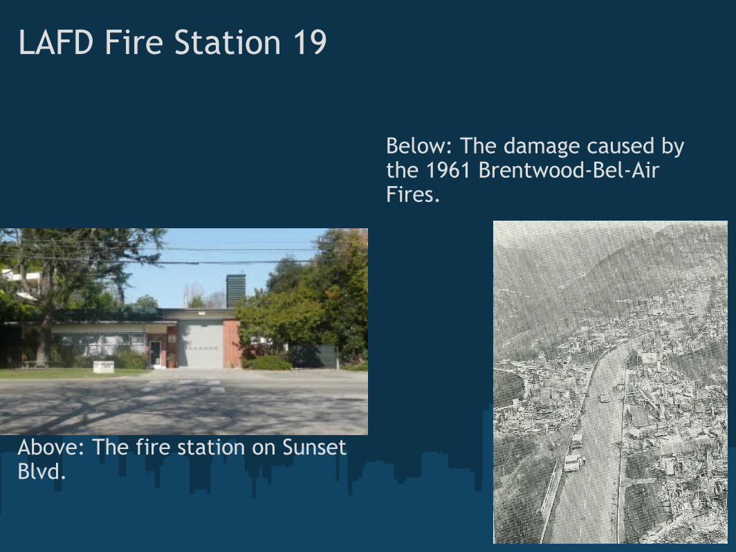
LAFD Fire Station 19
Above: The fire station on Sunset Blvd.
Below: The damage caused by the 1961 Brentwood-Bel-Air Fires.
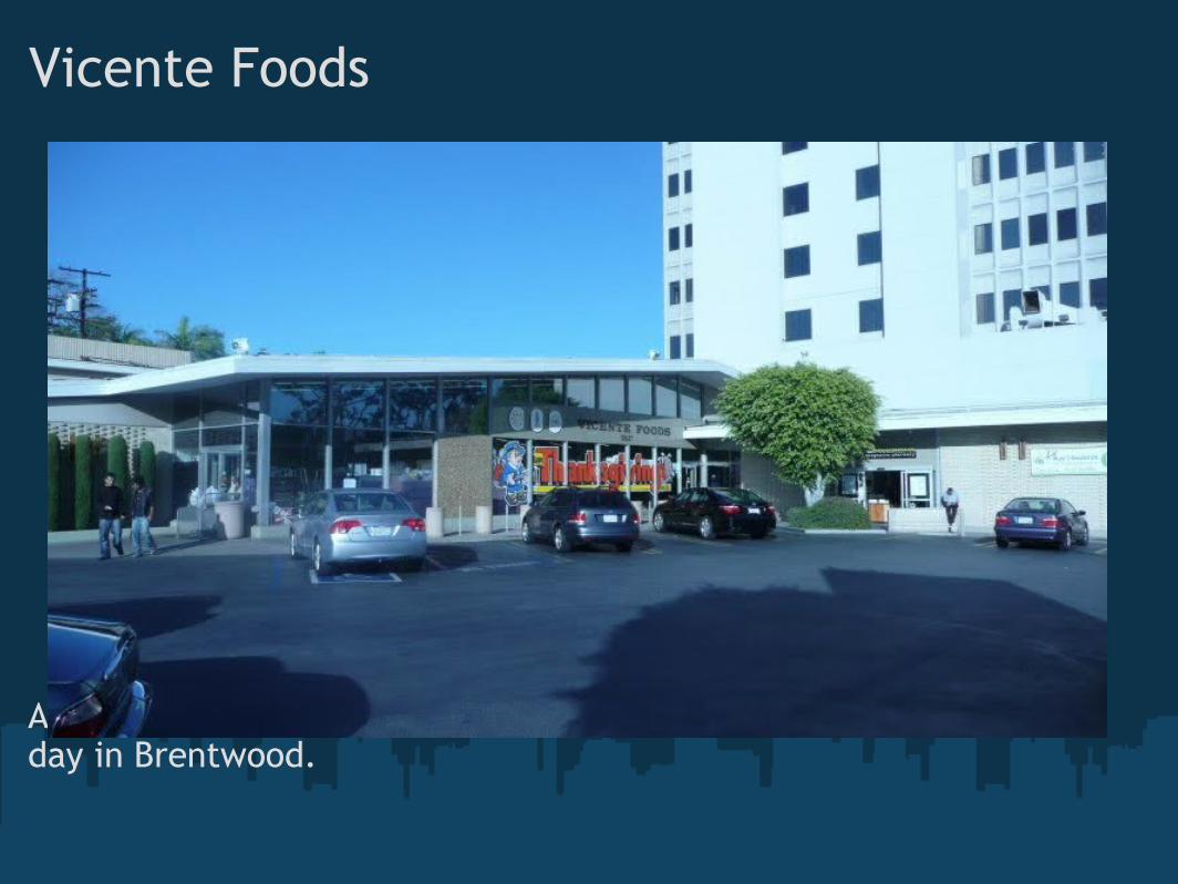
Vicente Foods
Above: Vicente Foods on a quiet day in Brentwood.
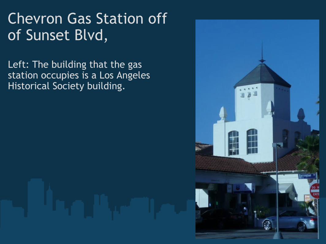
Chevron Gas Station offof Sunset Blvd,
Left: The building that the gas station occupies is a Los Angeles Historical Society building.
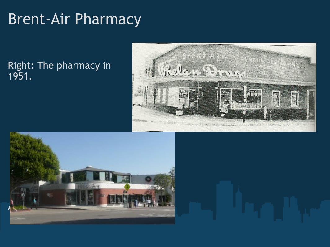
Brent-Air Pharmacy
Right: The pharmacy in1951.
Above: The pharmacy present day.
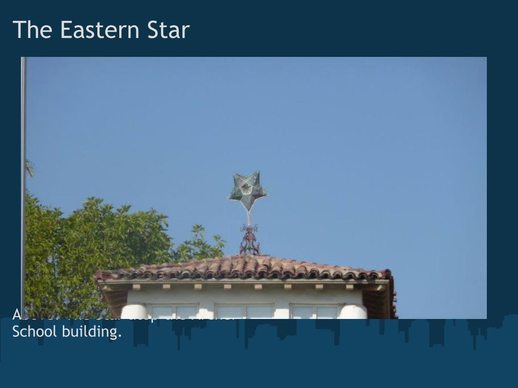
The Eastern Star
Above: The Star atop the Archer School building.