Embed Size (px)
DESCRIPTION
Most databases have some kind of geographic data and there is a growing need to present topographical information in a reporting solution. There are two important components of geographic data: its geographic position and its attributes or properties. In other words, spatial data (where is it?) and attribute data (what is it?). This session provides information about working with geographic data from start to finish, the step-by-step means of preparing and presenting geographic data, and how you can "clean up" and validate your geographic data or create interactive reports. This session will begin with the tasks necessary to model a dimensional data structure to maintain and present geographic data. We will discuss various requirements that can affect a data model such as granularity, surrogate keys, slowly changing dimensions. Real life examples and solutions will provided to give better context to each step in the process. After the data structure has been created we will focus on how to best “clean” and validate the geographic data. We will focus on using SSIS to obtain latitude and longitude and then how this can be converted SQL Server spatial types. Finally we will cover presenting this data using SSRS and Power Map and how to create dynamic and aesthetically pleasing graphical reports. This portion of the session concentrates on presenting reports using the geographic data type that answer specific questions such as: Events that occurred at a specific address, zip code, and even block range and events within a mile radius.
Citation preview
DEALING GEOGRAPHIC DATA
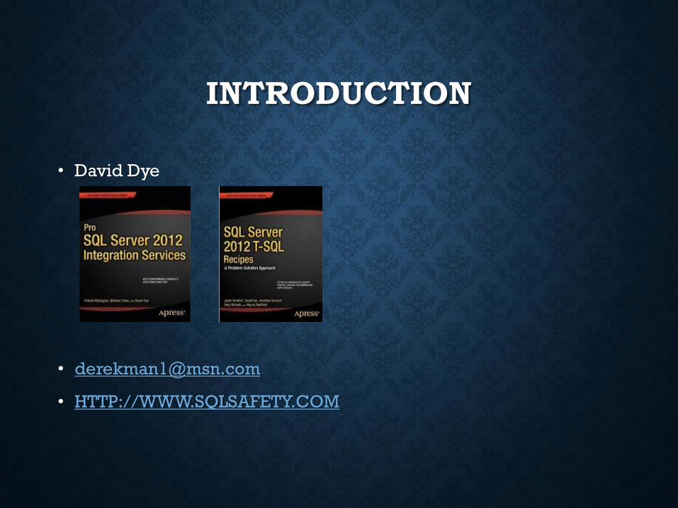
David Dye
DEALING GEOGRAPHIC DATA
• Introduction
• Working With Addresses
• ETL
• Presenting
INTRODUCTION
• David Dye
• HTTP://WWW.SQLSAFETY.COM
WORKING WITH ADDRESSES
BACKGROUND• Within Public Safety many reports are geographically based and visual reports
are helpful
• Pin maps became the de facto standard of geographic maps
• Looks kewl, but no so easy to automatw
• Crime clusters
• Burglaries within a xx radius
• Focused patrol areas
• Traffic crashes with injuries
• YES we target problem areas NOT people
• Traffic crashes without injuries
• Granularity based on the reason for the first harmful event
• Did He do that too???
• Locate similar crimes in the area where suspects are arrested
• Car hoppers!!!
• AKA job security!!
DEALING WITH LOCATION
• What location information do you deal with?
• Country
• State/Providence
• Zip code
• City
• Address
• Block range
• What do you need to report on
• Granularity!!!
• How does it have to be reported?
• Aggregations
• Non-map based
• Visual representation
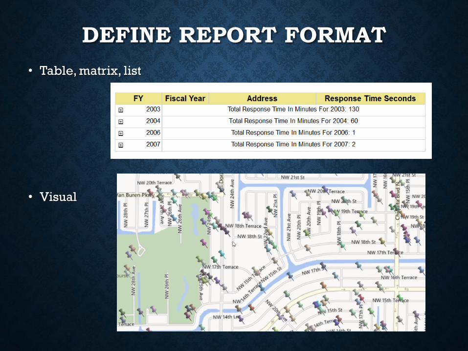
DEFINE REPORT FORMAT
• Table, matrix, list
• Visual

PRESENTING TO POLICE
DEMONSTRATION
Tabular report (BasicAddressReport.rdl)
Data set review
SSRS report expression
Map control report (MapReport.rdl)
Map Control Wizard
HOW IS LOCATION RECEIVED/STORED
• How do you receive and store your date
• Fully parsed address
• Full address
• Lon and Lat
• SQL Spatial
• The higher the level of receipt/storage the more analysis and
cleansing
• TAKE THE TIME TO DO EXHAUSTIVE EVALUATION
• Look for the rules and then find the most common exceptions
• Generally the more granular the storage/receipt the easier it is to
validate and piece together
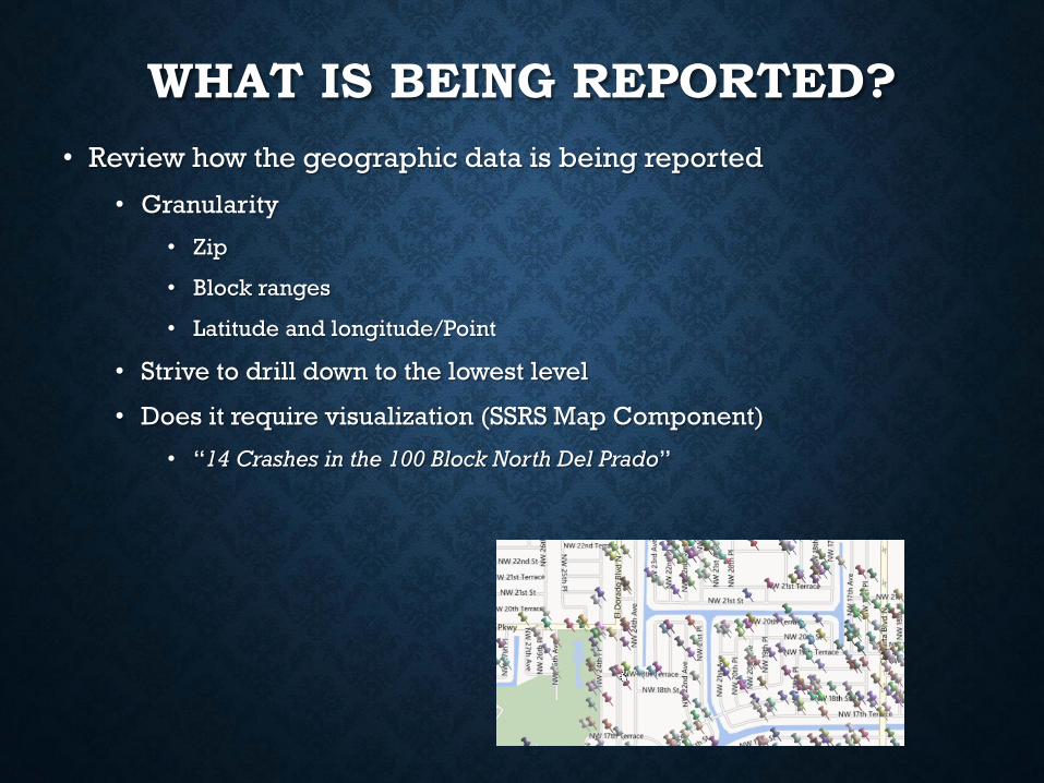
WHAT IS BEING REPORTED?
• Review how the geographic data is being reported
• Granularity
• Zip
• Block ranges
• Latitude and longitude/Point
• Strive to drill down to the lowest level
• Does it require visualization (SSRS Map Component)
• “14 Crashes in the 100 Block North Del Prado”
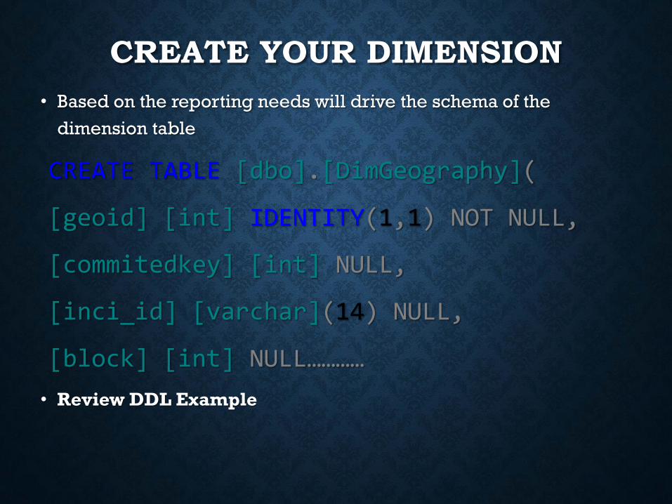
CREATE YOUR DIMENSION
• Based on the reporting needs will drive the schema of the
dimension table
CREATE TABLE [dbo].[DimGeography](
[geoid] [int] IDENTITY(1,1) NOT NULL,
[commitedkey] [int] NULL,
[inci_id] [varchar](14) NULL,
[block] [int] NULL…………
• Review DDL Example
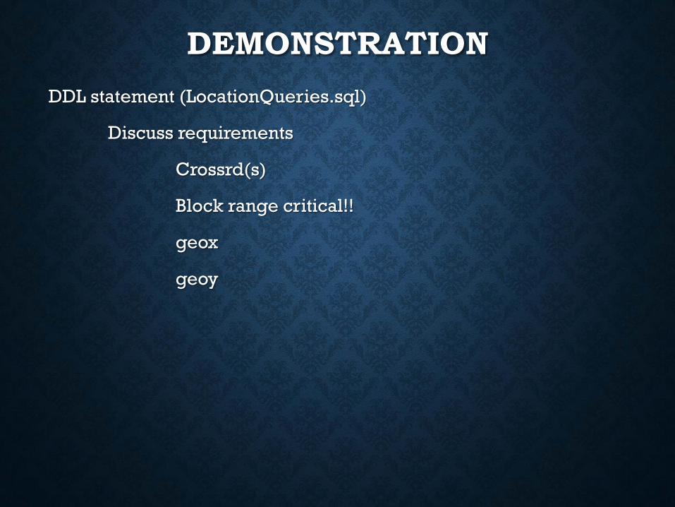
DEMONSTRATION
DDL statement (LocationQueries.sql)
Discuss requirements
Crossrd(s)
Block range critical!!
geox
geoy

ETL

EVALUATE DATA SOURCES
• Where is geographic data being stored
• SQL
• Excel (SORRY BRO!!)
• ESRI
• CSV
• Fox Pro (REALLY!! Why not Aramaic?)
• Can separate sources be maintained
• Based on the ability to present as a whole and consistency and
accuracy
• Is location parsed?
• If not evaluate the need/ability to parse during the
transformation
• Eases presenting and cleansing
IMPORTING
• If possible parse the data to its most granular segments
• Street number
• Street
• Street prefix
• Street Suffix
• City
• Zip
• State
• Clean it up!!
• Find most common inconsistencies
• Str, S, or Street should all be “St”
• Del Prdo, D.P., Dele Prado should all be “Del Prado”
• REVIEW DEMO T-SQL CODE
TRANSFORMATIONS
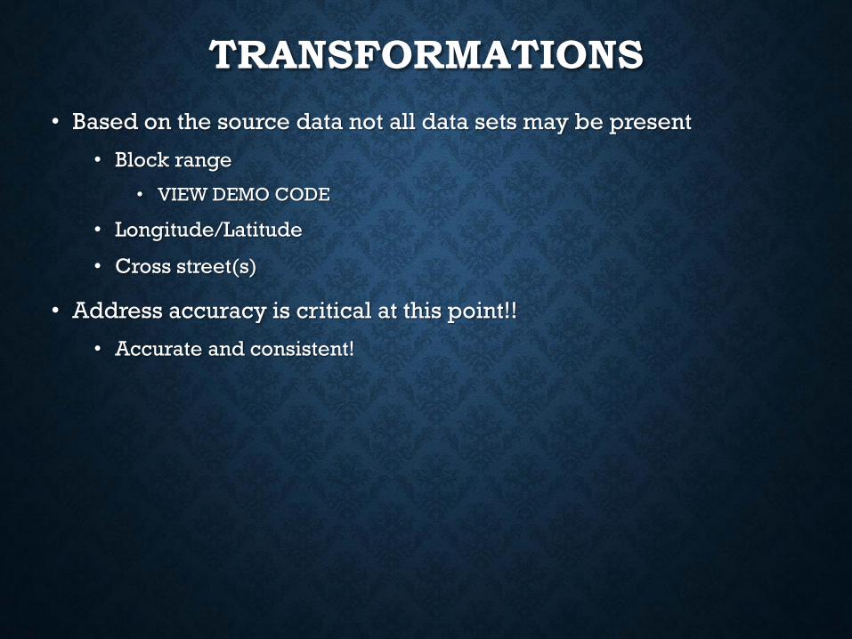
• Based on the source data not all data sets may be present
• Block range
• VIEW DEMO CODE
• Longitude/Latitude
• Cross street(s)
• Address accuracy is critical at this point!!
• Accurate and consistent!
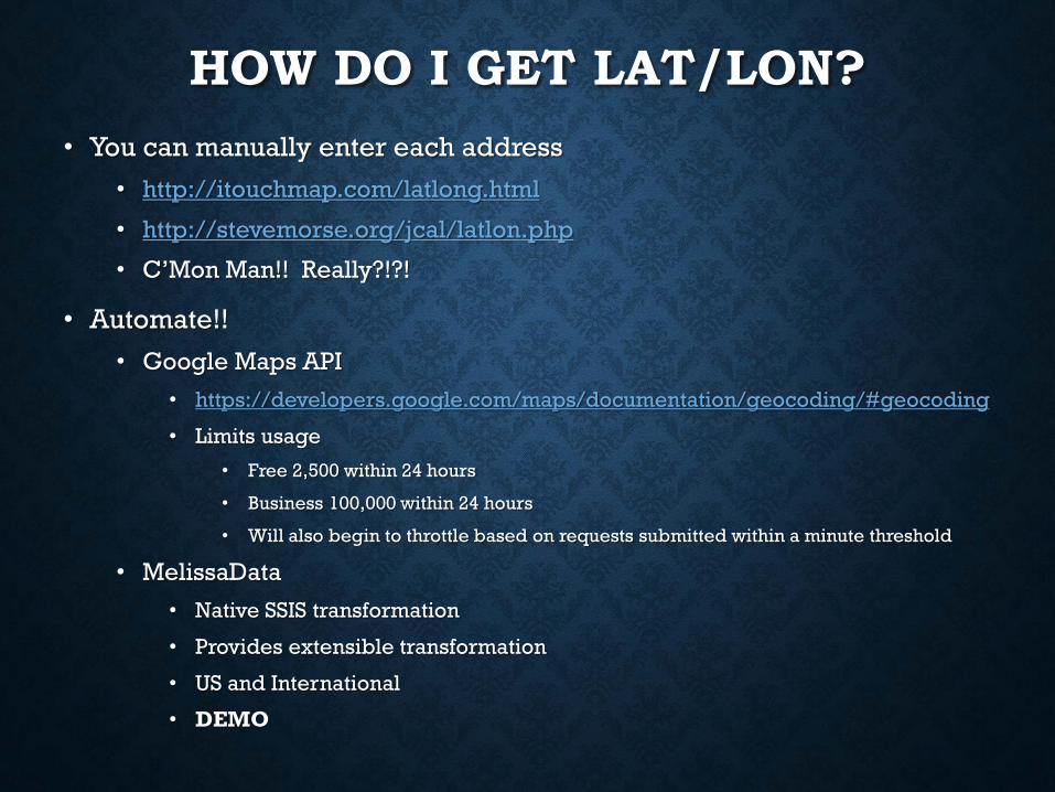
HOW DO I GET LAT/LON?
• You can manually enter each address
• http://itouchmap.com/latlong.html
• http://stevemorse.org/jcal/latlon.php
• C’Mon Man!! Really?!?!
• Automate!!
• Google Maps API
• https://developers.google.com/maps/documentation/geocoding/#geocoding
• Limits usage
• Free 2,500 within 24 hours
• Business 100,000 within 24 hours
• Will also begin to throttle based on requests submitted within a minute threshold
• MelissaData
• Native SSIS transformation
• Provides extensible transformation
• US and International
• DEMO

DEMONSTRATION
SQL Cleansing (LocationQueries.sql)
Discuss requirements
Crossrd(s)
Block range critical!!
geox
geoy
KEWL, BUT NOW WHAT?!?
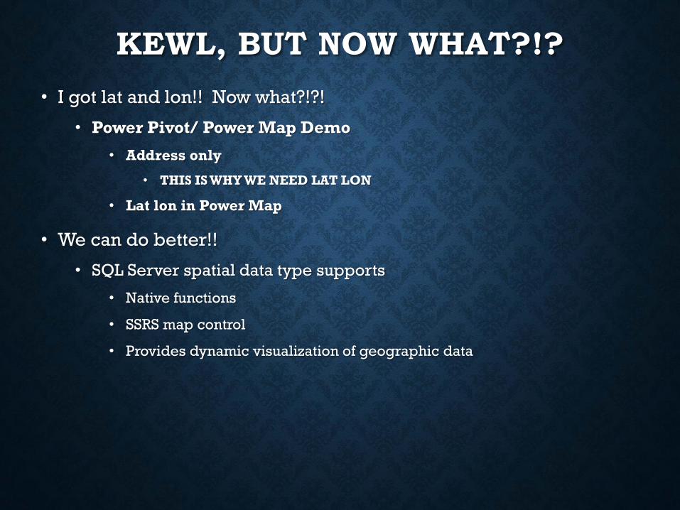
• I got lat and lon!! Now what?!?!
• Power Pivot/ Power Map Demo
• Address only
• THIS IS WHY WE NEED LAT LON
• Lat lon in Power Map
• We can do better!!
• SQL Server spatial data type supports
• Native functions
• SSRS map control
• Provides dynamic visualization of geographic data
DEMONSTRATION
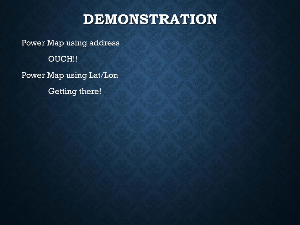
Power Map using address
OUCH!!
Power Map using Lat/Lon
Getting there!
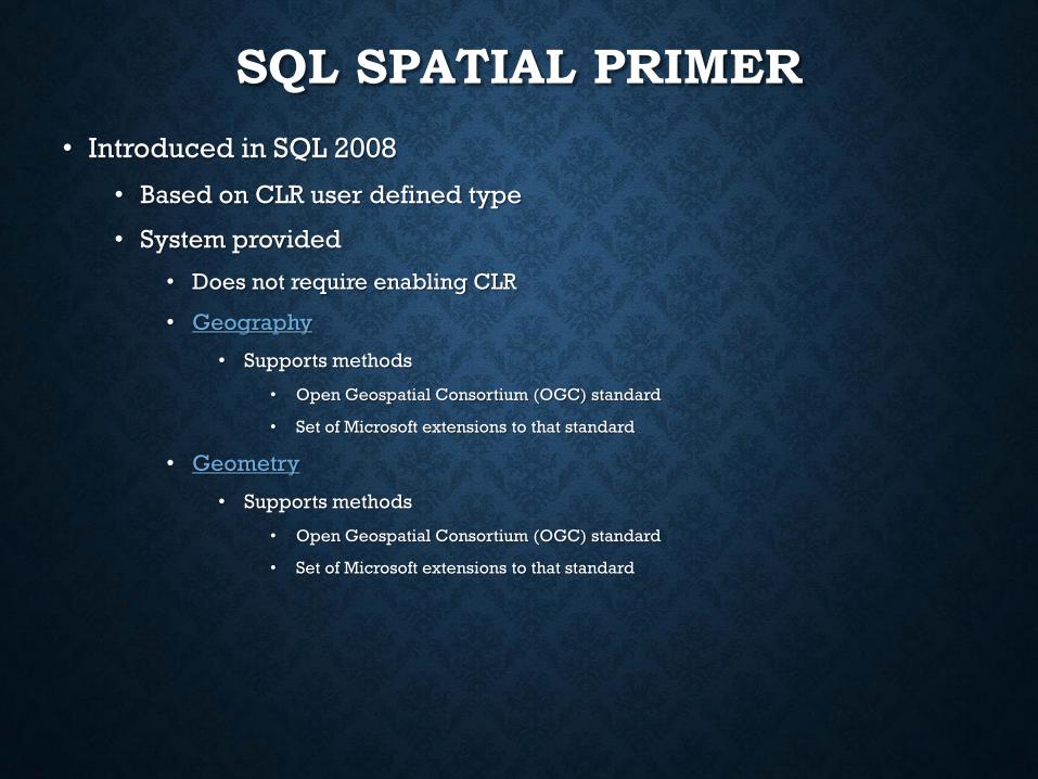
SQL SPATIAL PRIMER
• Introduced in SQL 2008
• Based on CLR user defined type
• System provided
• Does not require enabling CLR
• Geography
• Supports methods
• Open Geospatial Consortium (OGC) standard
• Set of Microsoft extensions to that standard
• Geometry
• Supports methods
• Open Geospatial Consortium (OGC) standard
• Set of Microsoft extensions to that standard
DEMONSTRATION
Geometry (LocationQueries.sql)
Geography(LocationQueries.sql)
WHY USE SQL SPATIAL
• It’s KEWL
• Chicks dig it
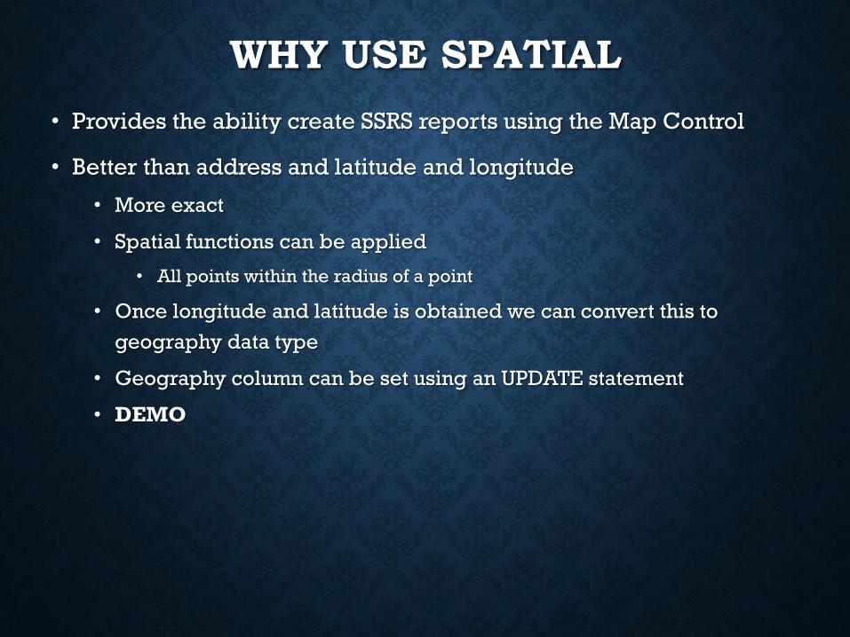
WHY USE SPATIAL
• Provides the ability create SSRS reports using the Map Control
• Better than address and latitude and longitude
• More exact
• Spatial functions can be applied
• All points within the radius of a point
• Once longitude and latitude is obtained we can convert this to
geography data type
• Geography column can be set using an UPDATE statement
• DEMO
DEMONSTRATION
Update spatial column
Spatial methods
STDistance
SSRS MAP COMPONENT
• Wizards ROCK!!
• Report builder 3.0 Map Report
• SSDT
• More control!

DEMONSTRATION
Map Builder
Wizard
SSDT
Basic
Radius
Parameterized