Embed Size (px)
Citation preview
Web GIS for fisheries A success case study from West Bengal, India by Hexagon Geospatial
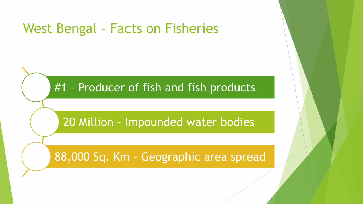
West Bengal – Facts on Fisheries
#1 – Producer of fish and fish products
20 Million – Impounded water bodies
88,000 Sq. Km – Geographic area spread
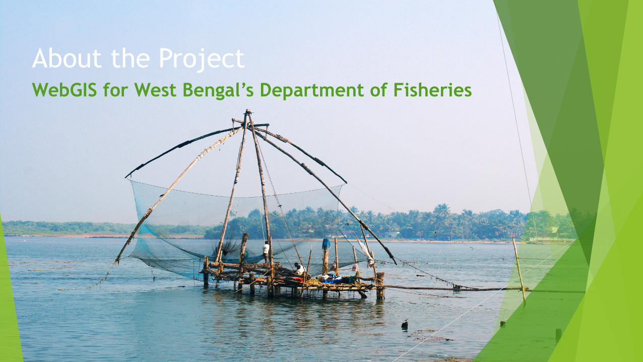
About the Project WebGIS for West Bengal’s Department of Fisheries
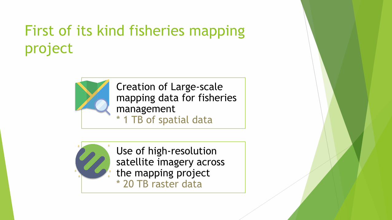
First of its kind fisheries mapping project
Creation of Large-scale mapping data for fisheries management * 1 TB of spatial data
Use of high-resolution satellite imagery across the mapping project * 20 TB raster data
About the Project
Client Technology Partner
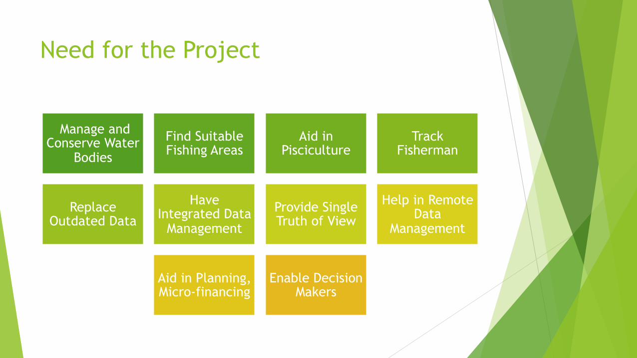
Need for the Project
Manage and Conserve Water
Bodies
Find Suitable Fishing Areas
Aid in Pisciculture
Track Fisherman
Replace Outdated Data
Have Integrated Data
Management
Provide Single Truth of View
Help in Remote Data
Management
Aid in Planning, Micro-financing
Enable Decision Makers
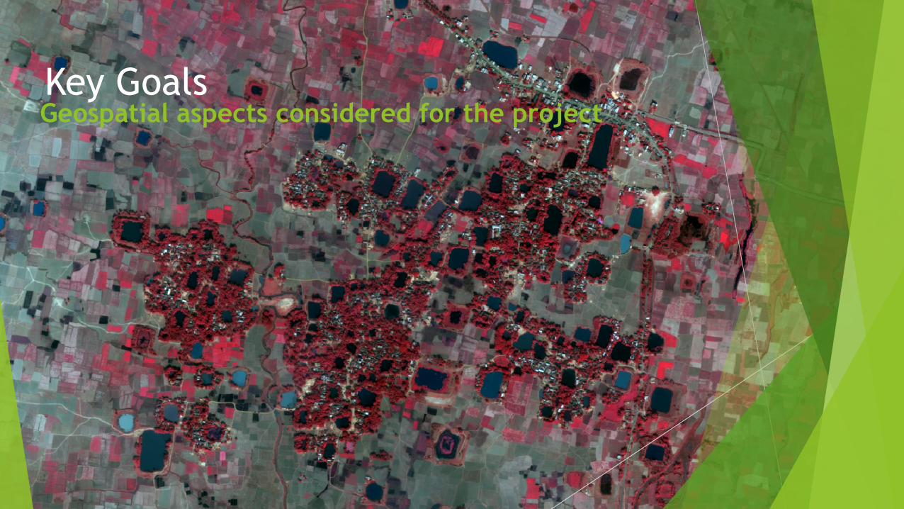
Key Goals Geospatial aspects considered for the project
Identified Key Geospatial Requirements
Identify and depict more than 20 million water bodies
Undertake field visits to collect details of water bodies where information is to be validated
Segregate water bodies from agricultural fields and water-logged areas
Replace outdated maps with GIS-based digital maps
Use high-resolution satellite imagery (0.6/0.5 meter spatial resolution) for mapping activities
Integrate spatial and non-spatial information from various sub-departments into a unified system
Develop Web-enabled access of the GIS-based maps to decision-makers
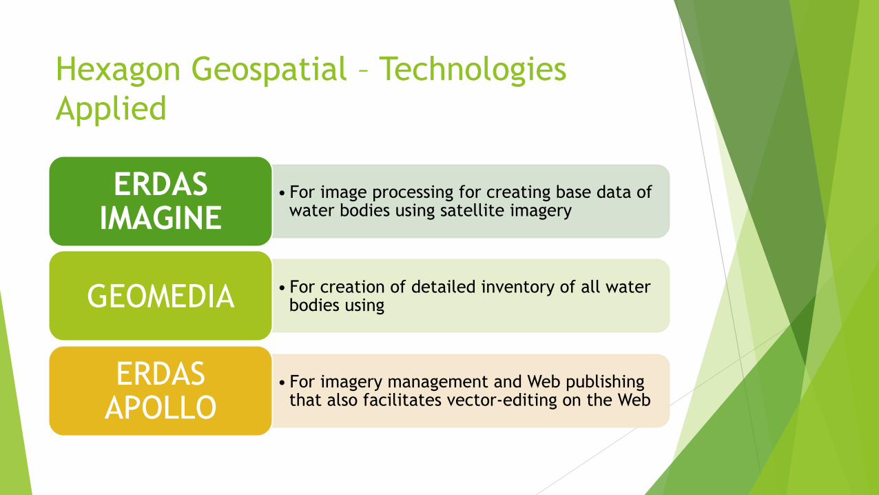
Hexagon Geospatial – Technologies Applied
• For image processing for creating base data of water bodies using satellite imagery
ERDAS IMAGINE
• For creation of detailed inventory of all water bodies using GEOMEDIA
• For imagery management and Web publishing that also facilitates vector-editing on the Web
ERDAS APOLLO
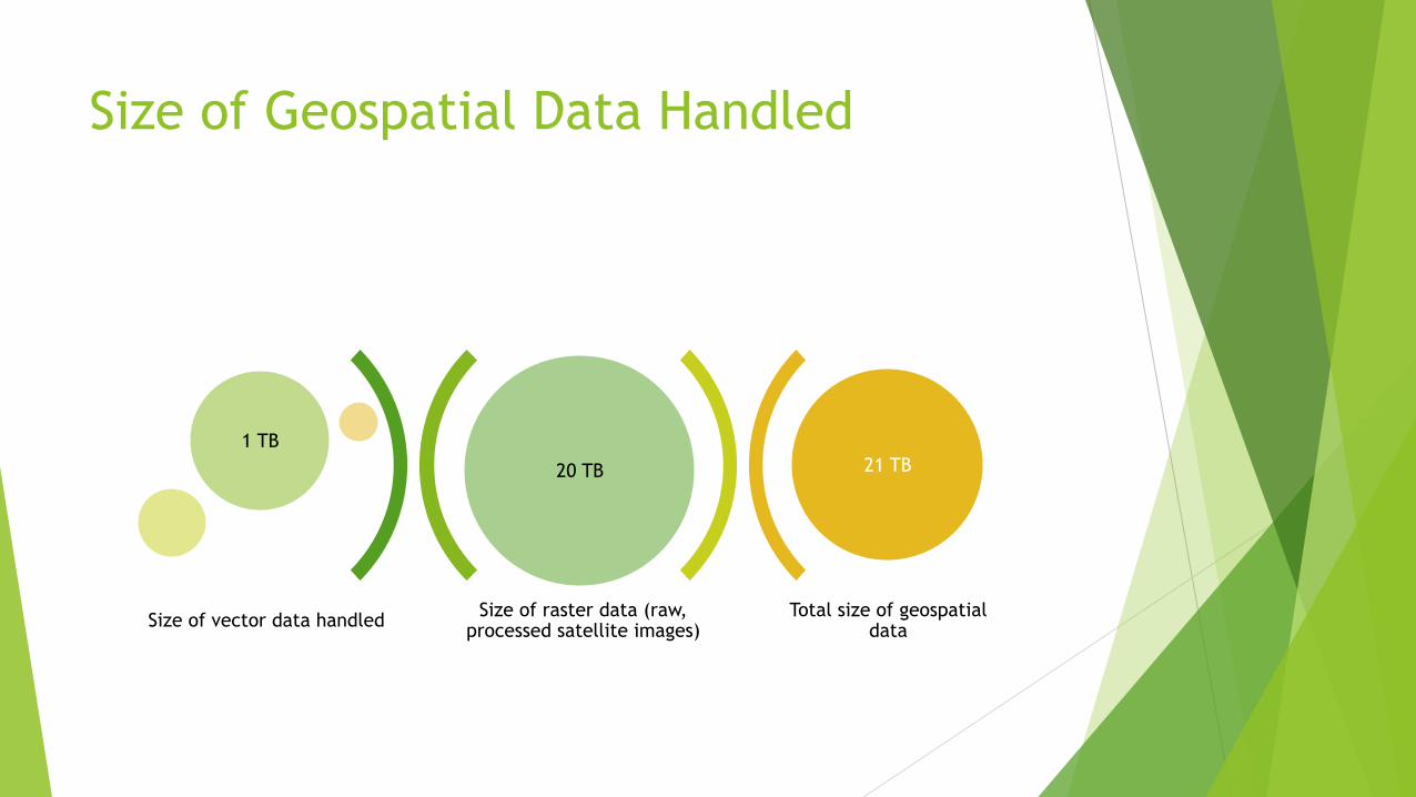
Size of Geospatial Data Handled
Size of raster data (raw, processed satellite images)
Total size of geospatial data
20 TB
1 TB 21 TB
Size of vector data handled
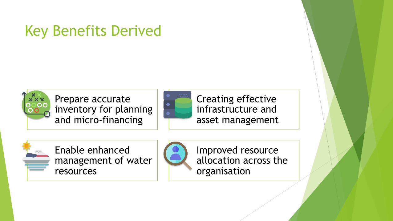
Key Benefits Derived
Prepare accurate inventory for planning and micro-financing
Creating effective infrastructure and asset management
Enable enhanced management of water resources
Improved resource allocation across the organisation
“
” Looking for more information on GIS for fisheries?
Contact Hexagon Geospatial Hexagon Geospatial, 2nd Floor, A 06 Infocity, Sector 34, Gurgaon 122002, Haryana, India Tel: +91 124 4633000 Email: [email protected]