Embed Size (px)
Citation preview
By Sudip PradhanProgramme CoordinatorRegional Database System, ICIMODE-mail: [email protected]: 23 February 2017
Walking in the Cloud: A new Paradigm in Geospatial World
Disclaimer
This power point presentation is part of the ICIMOD Internal Talk Series, and is for informational purposes only.
The views and interpretations expressed in the presentation are solely those of the presenter(s) and are not attributable to ICIMOD.
In addition, they do not imply the expression of any opinion by ICIMOD concerning the legal status of any country, territory, city or area of its authority, or concerning the delimitation of its frontiers or boundaries, or the endorsement of any product.
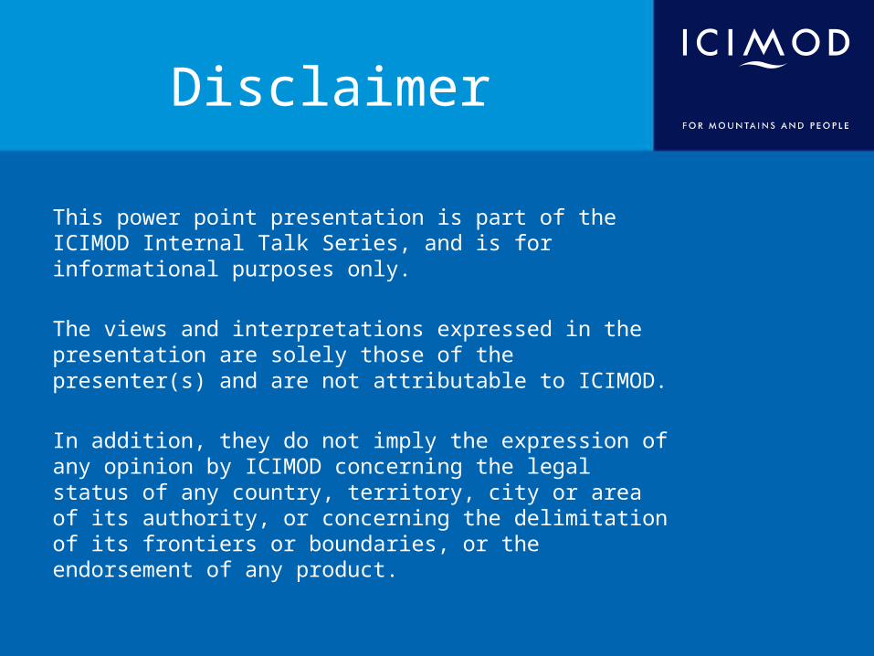
What is Cloud Computing?
• “Internet-based computing that provides shared computer processing resources and data to computer and other devices on demand.” (Source: Wikipedia) Source: http://learningcloudcomputing.com
Who has used it?
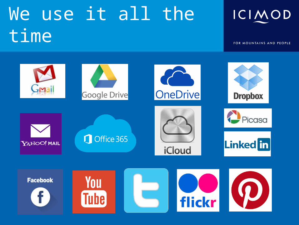
We use it all the time
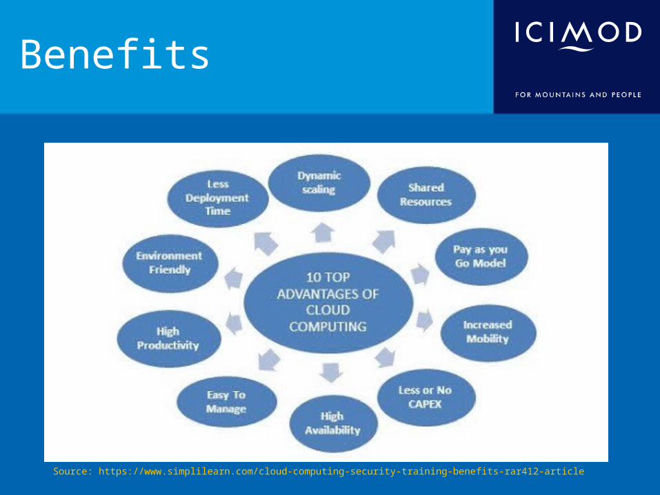
Benefits
Source: https://www.simplilearn.com/cloud-computing-security-training-benefits-rar412-article
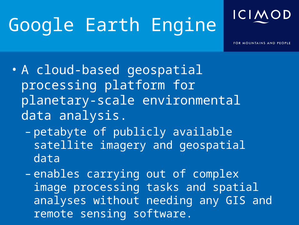
Google Earth Engine
• A cloud-based geospatial processing platform for planetary-scale environmental data analysis. – petabyte of publicly available satellite imagery and
geospatial data – enables carrying out of complex image processing
tasks and spatial analyses without needing any GIS and remote sensing software.
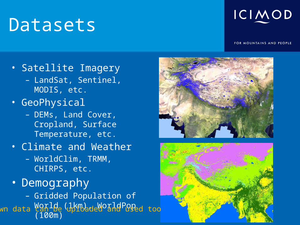
Datasets
• Satellite Imagery– LandSat, Sentinel, MODIS, etc.
• GeoPhysical– DEMs, Land Cover, Cropland,
Surface Temperature, etc.• Climate and Weather
– WorldClim, TRMM, CHIRPS, etc.
• Demography– Gridded Population of World
(1km), WorldPop (100m)
Own data can be uploaded and used too
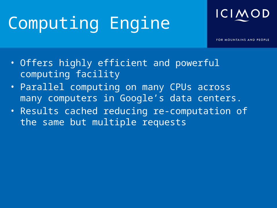
Computing Engine
• Offers highly efficient and powerful computing facility• Parallel computing on many CPUs across many computers in
Google’s data centers.• Results cached reducing re-computation of the same but
multiple requests
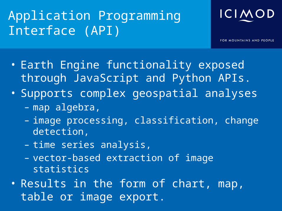
Application Programming Interface (API)
• Earth Engine functionality exposed through JavaScript and Python APIs.
• Supports complex geospatial analyses – map algebra, – image processing, classification, change detection, – time series analysis, – vector-based extraction of image statistics
• Results in the form of chart, map, table or image export.
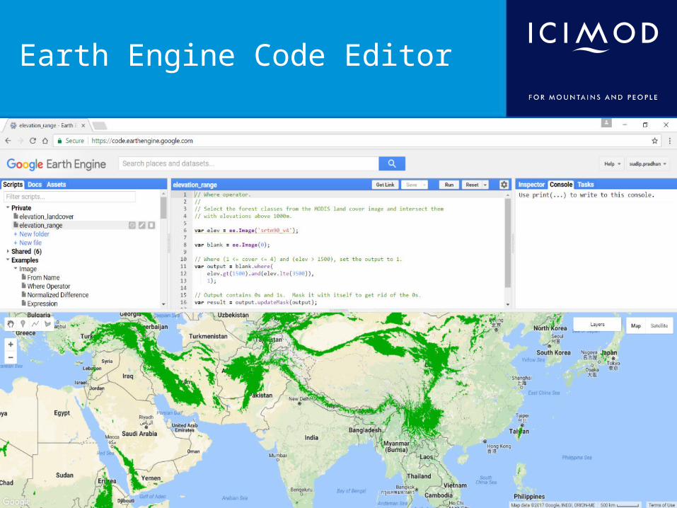
Earth Engine Code Editor
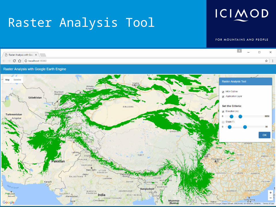
Raster Analysis Tool
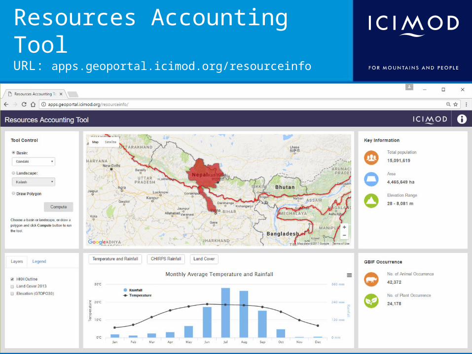
Resources Accounting ToolURL: apps.geoportal.icimod.org/resourceinfo
Thank You!
![GAPs: Geospatial Abduction Problemsmlsapino/Conferma-I-fascia/TIST.pdfGAPs: Geospatial Abduction Problems 3 0 4 8 12 16 knowledge base paradigm [Lu et al. 1996] in which Prolog style](https://img.pdfslide.us/doc/110x75/5e99029d9cb0ab20f75fc8c3/gaps-geospatial-abduction-mlsapinoconferma-i-fasciatistpdf-gaps-geospatial.jpg)