Embed Size (px)
Citation preview
INTRODUCTION TO DI TRANSFORM
October 2015

DYNAMIC EARTH AND ENGINEERING MODELS
What is DI Transform?
A ground-breaking, integrated Geology, Geophysical, Engineering & Analytics (GG&A)
tool that allows you to visualize over 100,000 wells at a time
Build 3D models of the subsurface, interpret geoscience datasets and deliver insights in a
single platform
Leveraging the industry-leading multivariate analytics engine, DI Transform enables near
real-time adjustments to quantify and predict how and where to drill, maximizing
production and minimizing risk
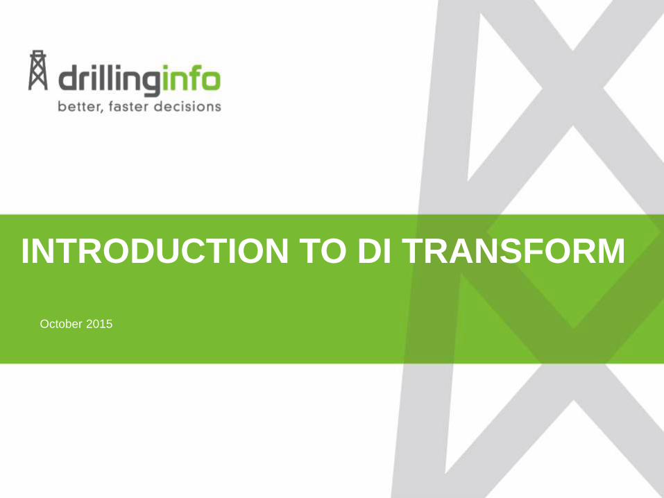
KEY HIGHLIGHTS OF DI TRANSFORM
Integrated GG&A modeling tool for optimizing completions, well placement, faciesdistribution, and any other geological, geophysical, and engineering attribute
Visualize and manage data from over 100,000 wells
Target your area of influence with a 3D model of the subsurface
Benchmark and produce best practices on how and where to drill
Full suite of interpretation and analytical tools seamlessly integrated into one easy-to-use platform
Sophisticated data integration framework to rapidly and easily update projects with new information
Test “what if” scenarios quickly with dynamic models to reduce risk and maintain competitive edge
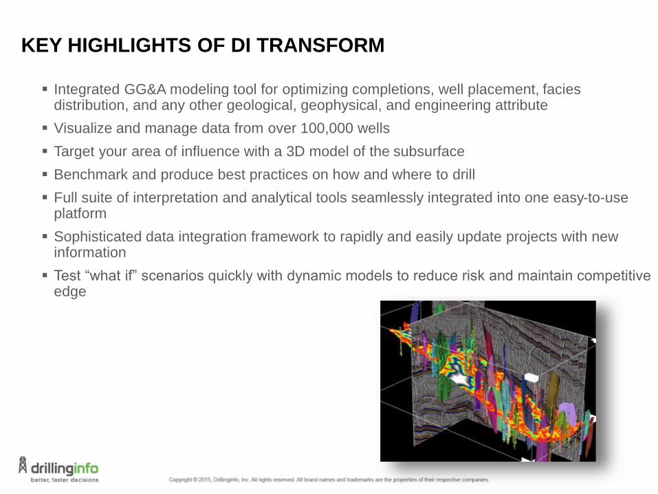
HOW DI TRANSFORM SOLVES CUSTOMER CHALLENGES
Ground-breaking, integrated GG&A platform for interpretation, visualization, and
model prediction
Drillinginfo is delivering industry-leading innovation with a completely integrated GG&A solution to perform all interpretation and visualization around a single, multivariate analytics engine
Test insights faster, receive immediate feedback and reveal hidden patterns to dynamically adjust models to maximize completion techniques, minimize risk and reduce wasted costs.
Increase efficiencies and return on investment by utilizing automated tools to rapidly interpret complex geology over a large scale
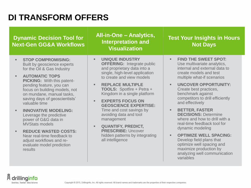
DI TRANSFORM OFFERS
UNIQUE INDUSTRY OFFERING: Integrate public and proprietary data into a single, high-level application to create and view models
REPLACE MULTIPLE TOOLS: Spotfire + Petra + Kingdom in a single platform
EXPERTS FOCUS ON GEOSCIENCE EXPERTISE:Time and cost savings by avoiding data and tool management
QUANTIFY, PREDICT, PRESCRIBE: Uncover hidden patterns by integrating all intelligence
FIND THE SWEET SPOT: Use multivariate analytics, internal and external data to create models and test multiple what-if scenarios
UNCOVER OPPORTUNITY: Create best practices, benchmark against competitors to drill efficiently and effectively
BETTER, FASTER DECISIONS: Determine where and how to drill with a real-time feedback tool for dynamic modeling
OPTIMIZE WELL SPACING: Develop field plans that optimize well spacing and maximize production by analyzing well communication variables
STOP COMPROMISING: Built by geoscience experts for the Oil & Gas Industry
AUTOMATIC TOPS PICKING: With this patent-pending feature, you can focus on building models, not on mundane, manual tasks, saving days of geoscientists’ valuable time
INNOVATIVE MODELING: Leverage the predictive power of G&G data in MVStats models
REDUCE WASTED COSTS: Near real-time feedback to adjust workflows and re-evaluate model prediction results
Dynamic Decision Tool for
Next-Gen GG&A Workflows
All-in-One – Analytics,
Interpretation and
Visualization
Test Your Insights in Hours
Not Days

DI TRANSFORM FEATURES & BENEFITS
Integrated G&G Interpretation
Stratigraphic columns
Synchronization of geologic and geophysical interpretation
Accurate subsurface understanding
E&P Visual Integration
Multi-dimensional visualization of Drillinginfo data
Reliable quality assurance and in-depth reservoir management understanding
Powerful Conditioning and Editing
Integrated raster log digitization
Seismic processing and attributes
Sell and seismic calculations
QC and editing tools
Robust mapping capabilities for enhancing data value and improving interpretation and analysis results
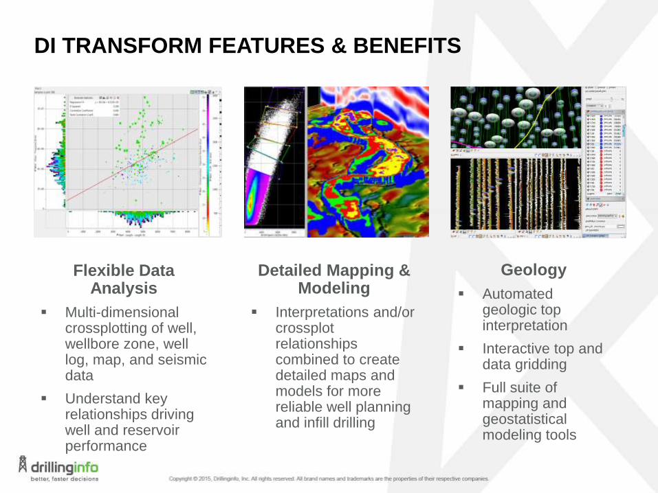
DI TRANSFORM FEATURES & BENEFITS
Flexible Data Analysis
Multi-dimensional crossplotting of well, wellbore zone, well log, map, and seismic data
Understand key relationships driving well and reservoir performance
Detailed Mapping & Modeling
Interpretations and/or crossplotrelationships combined to create detailed maps and models for more reliable well planning and infill drilling
Geology
Automated geologic top interpretation
Interactive top and data gridding
Full suite of mapping and geostatisticalmodeling tools
DI TRANSFORM FEATURES & BENEFITS
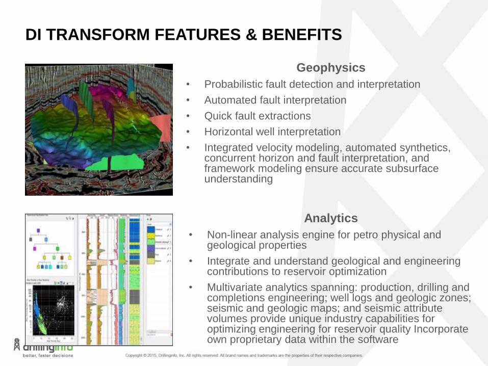
Analytics
• Non-linear analysis engine for petro physical and geological properties
• Integrate and understand geological and engineering contributions to reservoir optimization
• Multivariate analytics spanning: production, drilling and completions engineering; well logs and geologic zones; seismic and geologic maps; and seismic attribute volumes provide unique industry capabilities for optimizing engineering for reservoir quality Incorporate own proprietary data within the software
Geophysics
• Probabilistic fault detection and interpretation
• Automated fault interpretation
• Quick fault extractions
• Horizontal well interpretation
• Integrated velocity modeling, automated synthetics, concurrent horizon and fault interpretation, and framework modeling ensure accurate subsurface understanding

DI TRANSFORM FEATURES & BENEFITS
Geosteering
3D visualization, multi-well tracking, structurally varying backdrop, and modern interfaces
Accurate estimation of horizontal well paths and detailed understanding of reservoir zone intersection and positioning
Seismic Registration
Interactive and automated correlation of multiple seismic volumes spanning multi-component, multi-azimuth, and time-lapse
Engineering
Integrate pump pressures, volumes, and time-to-depth data evaluation
Dynamic display and mapping of surface and downholemeasurements to improve dynamic reservoir understanding

DI TRANSFORM FEATURES & BENEFITS
Microseismic Processing
Interactive P and S pick QC and editing, velocity model optimization, and interactive event positioning and data query
Complete toolkit for monitoring downholemicroseismic data
Microseismic Interpretation
Non-linear Fault and fracture plane fitting
Microseismic density binning
Interactive stimulated rock volume (SRV) mapping
Estimation of areal/volumetric extents and overlap
Export of volumes and densities for wellbore simulation
Accurate stimulation monitoring and modeling

CONTINUOUS IMPROVEMENT MODEL
With DI Transform, you’ll be able to interpret and visualize GG&A datasets in a single,
integrated platform.
Drillinginfo consistently invests a substantial amount of our revenue in research and
development. Our reinvestment allows us to develop and deliver continuous
improvements to customers every day. Legacy competitors do not evolve and adapt
to market needs in this way.
Do More with Less
EFFICIENT PROACTIVEIdentify Opportunities Faster
COMPETITIVESucceed in Any Environment

THANK YOU