Embed Size (px)
Citation preview

Saving Money and Improving Efficiencies by Going Mobile
Presented By: Bill Keever – Aurora IT GIS Coordinator Marisol Medina – Aurora Water Senior GIS Specialist Sarah Young – Aurora Water Planning Services Manager
GIS in the Rockies September 23th, 2015

Agenda
• Aurora Water Basics • GIS Uses • The Project – Deploying Tablets to the Field • Project Details • Demonstration • Unanticipated Benefits • What’s Next

The Aurora Water Department
• Three Utilities (Water (potable, raw, reuse), Stormwater, Wastewater)
• 3,000 miles of pipelines • 175,000 appurtenances • 4 treatment facilities • 60+ pump/lift stations, tanks, reservoirs • ~ 350,000 potable customers • Covers ~155 Square miles

Uses of GIS • Infrastructure Tracking • Operations Support • Inspections Support • System Models • Development Community • Data Analysis • Maps
Data Accuracy is key

Why go Mobile?
• 300 boots on the ground helping update attributes and locations
• Replace costly, outdated map books • Have information available anywhere to make rapid,
informed decisions • Technology cost/development • Rockstar IT support
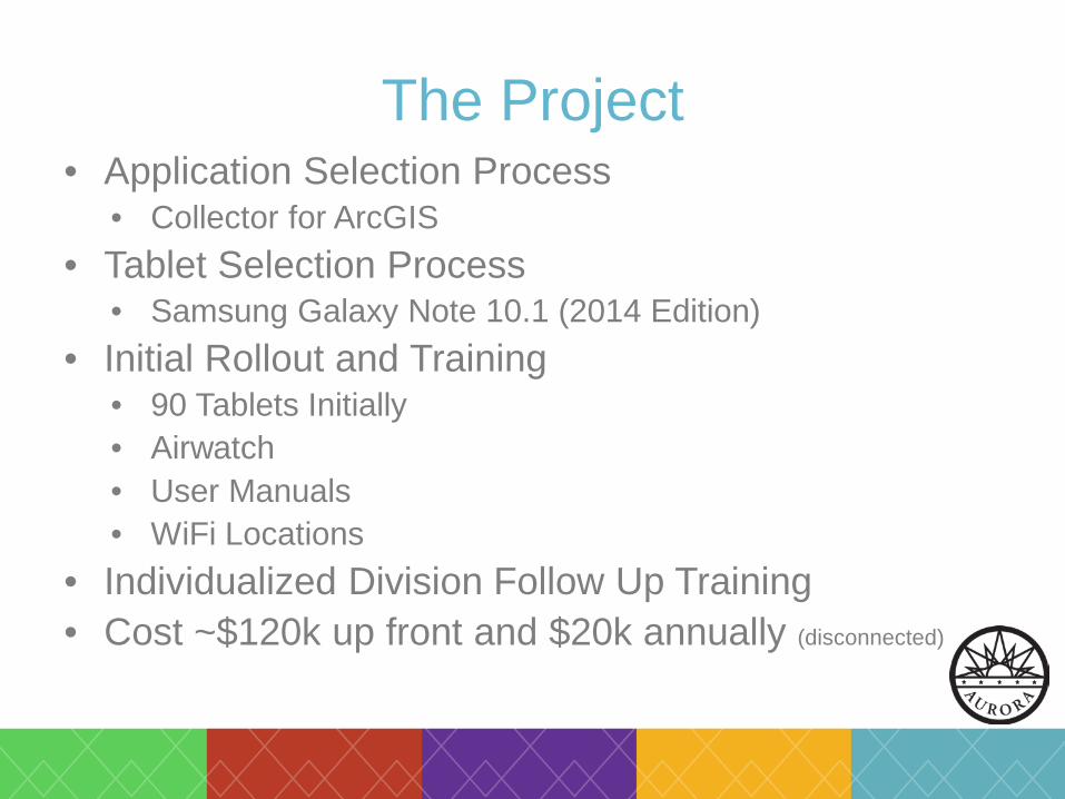
The Project • Application Selection Process
• Collector for ArcGIS • Tablet Selection Process
• Samsung Galaxy Note 10.1 (2014 Edition) • Initial Rollout and Training
• 90 Tablets Initially • Airwatch • User Manuals • WiFi Locations
• Individualized Division Follow Up Training • Cost ~$120k up front and $20k annually (disconnected)

Data flow
Mobile Production
Publish Download
Field data collection
QC
Sync
Copy

Maps and Layers Water Waste Water Storm Water Valves Manholes Storm Inlets
Hydrants Fittings Manholes Fittings Valves Fittings
Manholes Misc Misc Meters Fire Hydrants Ponds
Pumps/PS Mains Storm Valves Water Storage Abandoned Storm Pumps Test Stations Addresses Storm Mains Water Misc Quarter Sections Abandoned Water Lines Sewer_Security Areas Channels Creeks
Meter Address Points Flow Meters Drainage Tracts Easements Service Meters Wastewater Sub Basins Addresses Pressure Zones Quarter Sections
Pressure contours Trouble Spots Well Water Storm Basins
Well Fields Points Well Field Lines
Addresses Quarter Sections

Basemaps Topographic
AerialTiles2014
StreetTiles2015

Demonstration
• View Infrastructure • Toggle Between Basemaps • Search and Find Asset • Modify Attributes and Location

Unanticipated Benefits • New Ideas for GIS Support and Efficiencies • Data layers that connect divisions
• Stormwater Permit Layer • Multiple Property Meter Polygon
• Other Work Applications • Health and Safety Apps • Compliance and Conversation Teams

What’s Next • Connected Mode • INFOR (CMMS and AM) Mobile
• Custom workflows/Forms – Feed AM Program • Field Access to PDFs
• Device vs. Sharepoint • Whatever the divisions come up with…
Bill (William) Keever Aurora GIS Coordinator [email protected] (303) 739-7482
Marisol Medina AW Senior GIS Specialist [email protected] (303) 739-7244
Sarah Young AW Planning Services Manager [email protected] (303) 739-7279