Embed Size (px)
Citation preview
A Backstage Look at ArcGIS ProCassidy Bishop, Richard Cabellero, Steve Frizzell, Kyle Heinemann


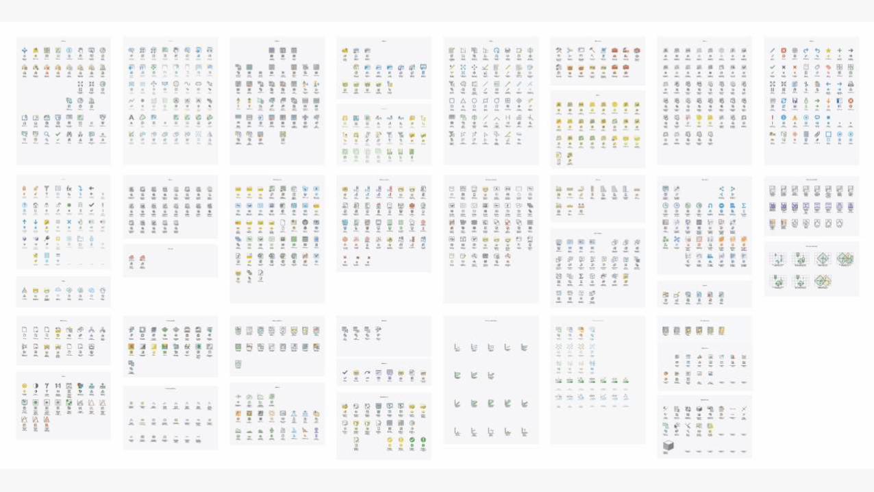
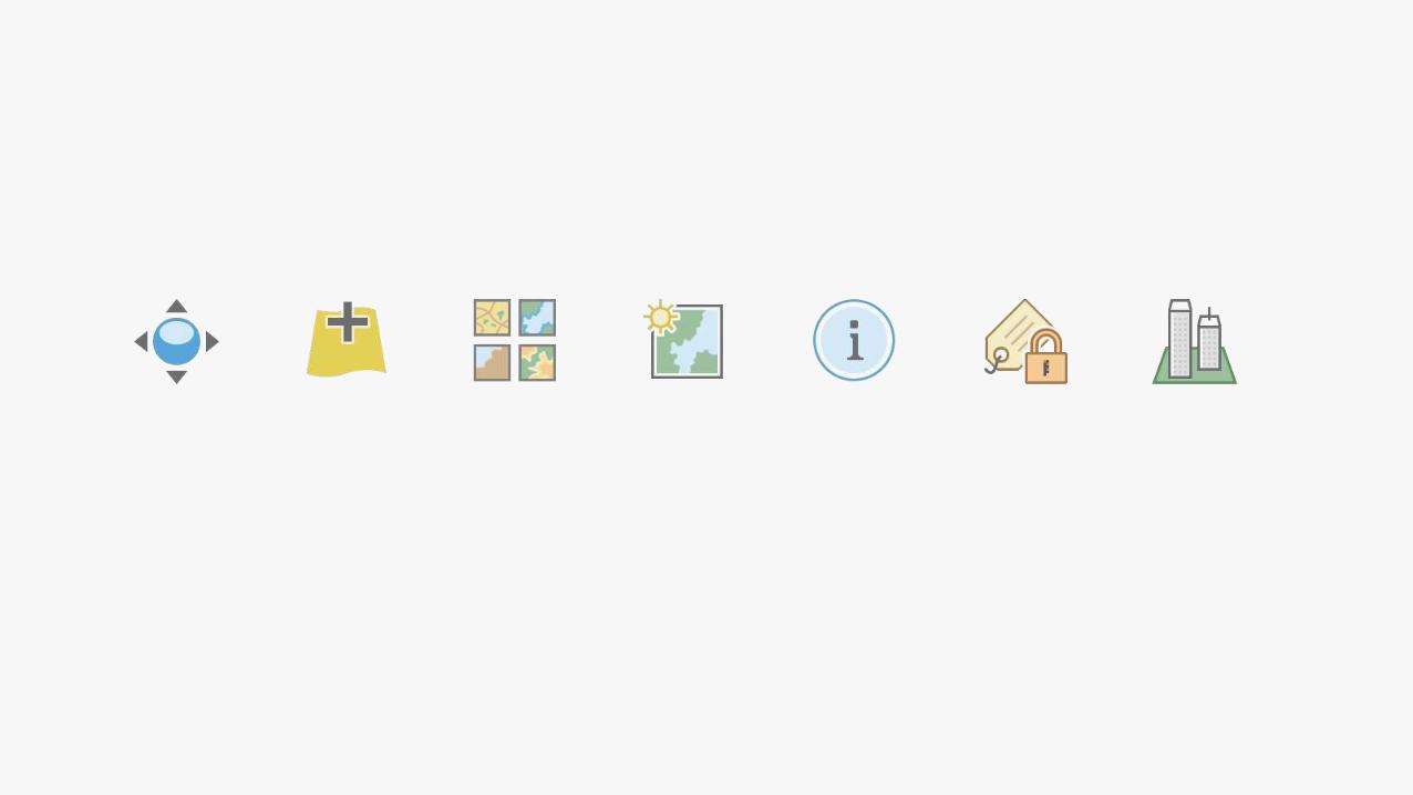
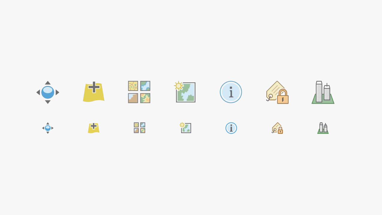
Iconography


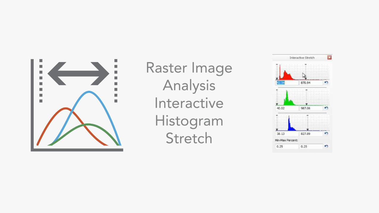
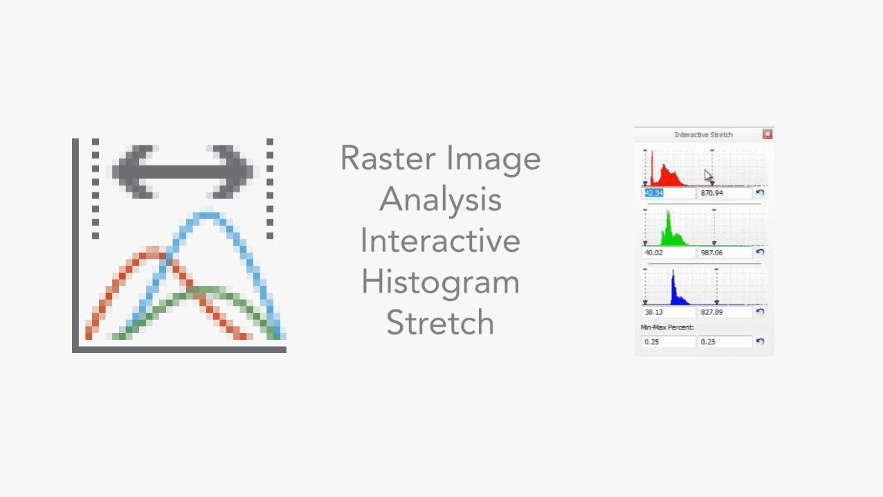

User Experience


User Interface


UX / UI ExpertiseWireframes
Prototypes
Research
Mockups
Graphics
Layouts
Patterns

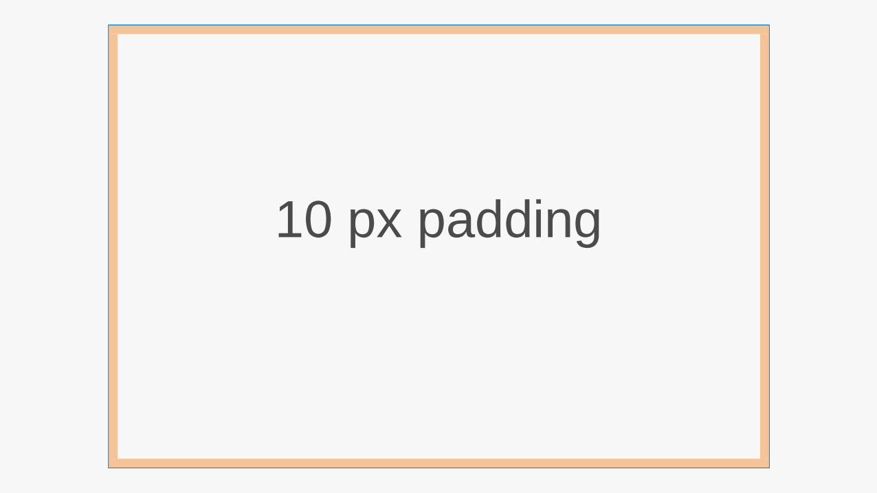
10 px padding
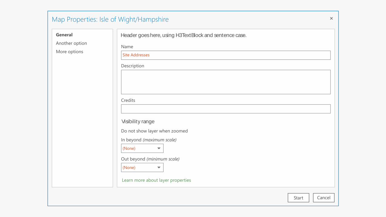
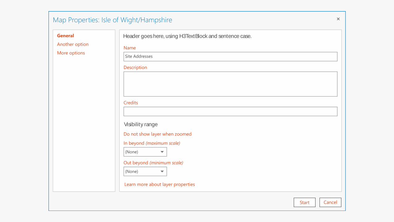
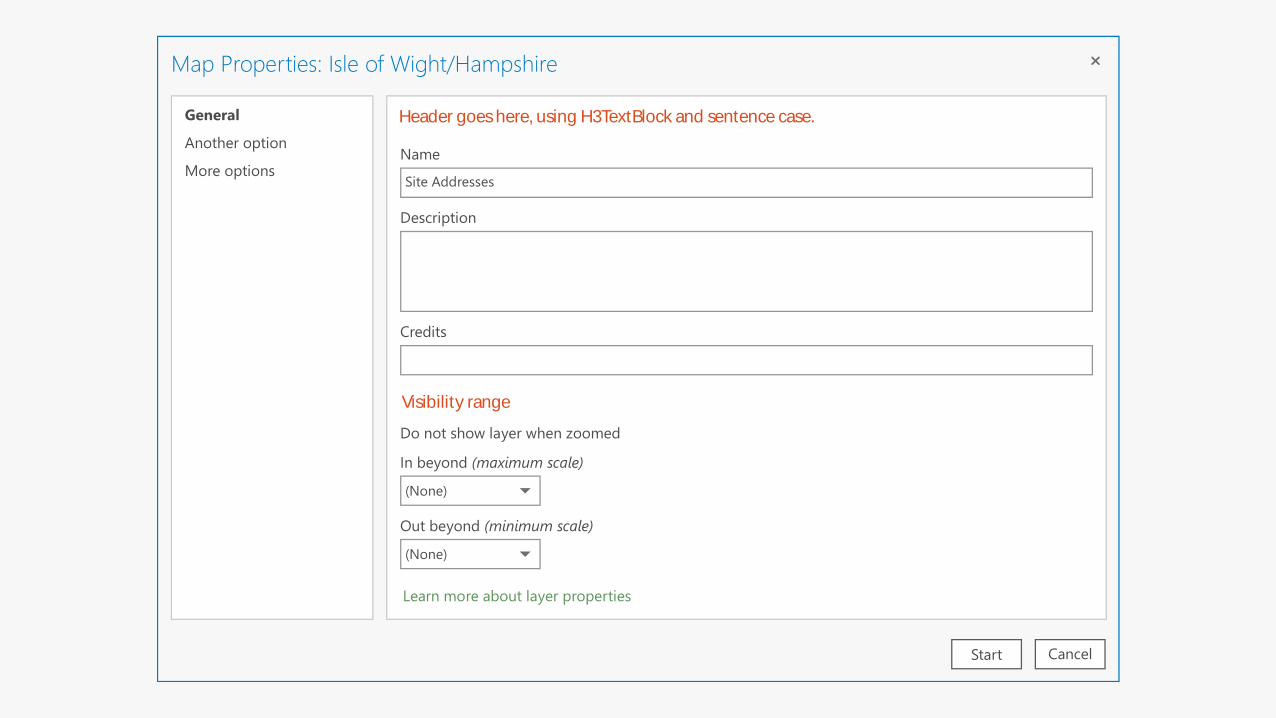
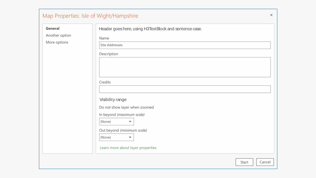
Map Properties: Isle of Wight/Hampshire
CancelStart
Map Properties: Isle of Wight/HampshireMap Properties: Isle of Wight/Hampshire
CancelStart
Map Properties: Isle of Wight/Hampshire
CancelStart
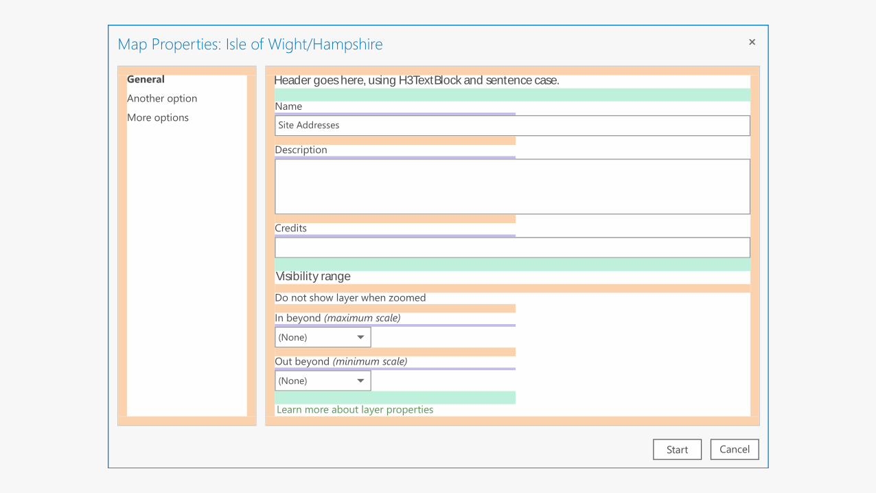
Map Properties: Isle of Wight/Hampshire
Learn more about layer properties
Visibility range
(None)
(None)
In beyond (maximum scale)
Out beyond (minimum scale)
Site Addresses
Name
Description
Do not show layer when zoomed
Credits
Header goes here, using H3TextBlock and sentence case.General
Another option
More options
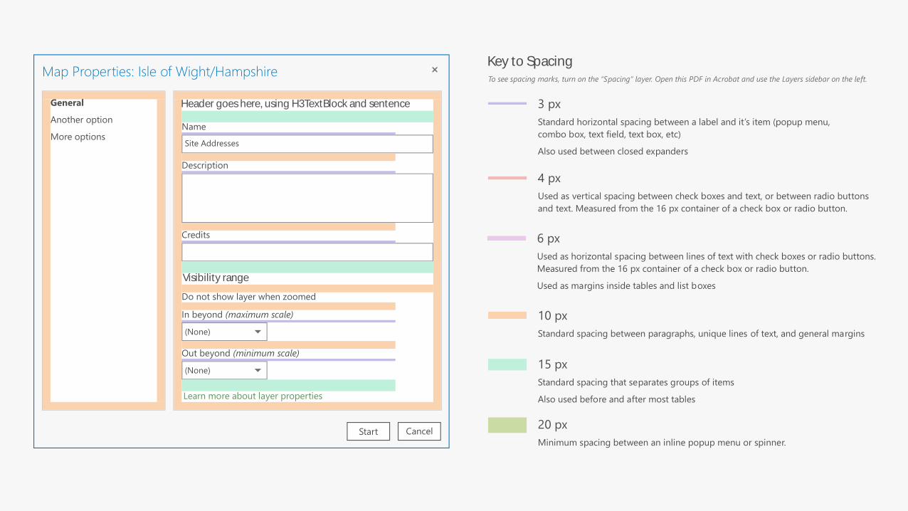
10 px
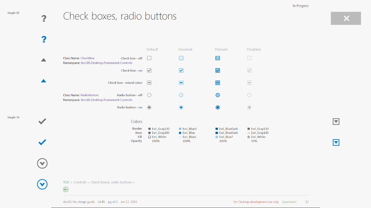
Standard spacing between paragraphs, unique lines of text, and general margins
6 px
Used as horizontal spacing between lines of text with check boxes or radio buttons.
Measured from the 16 px container of a check box or radio button.
Used as margins inside tables and list boxes
4 px
Used as vertical spacing between check boxes and text, or between radio buttons
and text. Measured from the 16 px container of a check box or radio button.
3 px
Standard horizontal spacing between a label and it’s item (popup menu,
combo box, text field, text box, etc)
Also used between closed expanders
To see spacing marks, turn on the “Spacing” layer. Open this PDF in Acrobat and use the Layers sidebar on the left.
15 px
Standard spacing that separates groups of items
Also used before and after most tables
20 px
Minimum spacing between an inline popup menu or spinner.
Key to Spacing
CancelStart
Map Properties: Isle of Wight/Hampshire
Learn more about layer properties
Visibility range
(None)
(None)
In beyond (maximum scale)
Out beyond (minimum scale)
Site Addresses
Name
Description
Do not show layer when zoomed
Credits
Header goes here, using H3TextBlock and sentenceGeneral
Another option
More options
CancelStart
Map Properties: Isle of Wight/Hampshire
Learn more about layer properties
Visibility range
(None)
(None)
In beyond (maximum scale)
Out beyond (minimum scale)
Site Addresses
Name
Description
Do not show layer when zoomed
Credits
Header goes here, using H3TextBlock and sentence case.General
Another option
More options
CancelStart
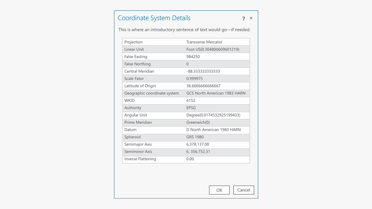
Coordinate System Details
CancelOK
Coordinate System Details
Projection Transverse Mercator
Foot US(0.304800609601219)
984250
0
-88.333333333333
0.999975
36.6666666666667
GCS North American 1983 HARN
4152
EPSG
Degree(0.0174532925199433)
Greenwich(0)
D North American 1983 HARN
GRS 1980
6,378,137.00
6, 356,752.31
0.00
Linear Unit
False Easting
False Northing
Central Meridian
Scale Fator
Latitude of Origin
Geographic coordinate system
WKID
Authority
Angular Unit
Prime Meridian
Datum
Spheroid
Semimajor Axis
Semiminor Axis
Inverse Flattening
This is where an introductory sentence of text would go—if needed.
CancelStart
Coordinate System Details
CancelOK
Coordinate System Details
Projection Transverse Mercator
Foot US(0.304800609601219)
984250
0
-88.333333333333
0.999975
36.6666666666667
GCS North American 1983 HARN
4152
EPSG
Degree(0.0174532925199433)
Greenwich(0)
D North American 1983 HARN
GRS 1980
6,378,137.00
6, 356,752.31
0.00
Linear Unit
False Easting
False Northing
Central Meridian
Scale Fator
Latitude of Origin
Geographic coordinate system
WKID
Authority
Angular Unit
Prime Meridian
Datum
Spheroid
Semimajor Axis
Semiminor Axis
Inverse Flattening
Projection Transverse Mercator
Foot US(0.304800609601219)
984250
0
-88.333333333333
0.999975
36.6666666666667
GCS North American 1983 HARN
4152
EPSG
Degree(0.0174532925199433)
Greenwich(0)
D North American 1983 HARN
GRS 1980
6,378,137.00
6, 356,752.31
0.00
Linear Unit
False Easting
False Northing
Central Meridian
Scale Fator
Latitude of Origin
Geographic coordinate system
WKID
Authority
Angular Unit
Prime Meridian
Datum
Spheroid
Semimajor Axis
Semiminor Axis
Inverse Flattening
This is where an introductory sentence of text would go—if needed.

CancelStart
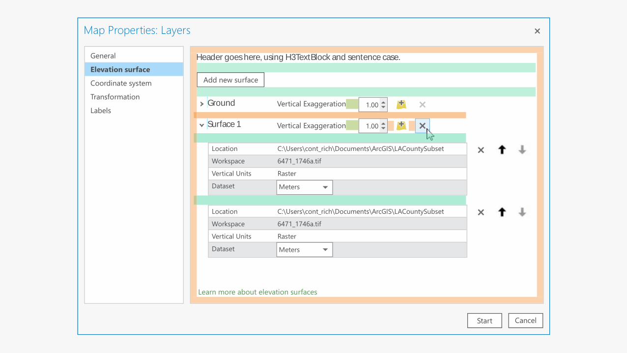
Map Properties: Layers
Ground
Vertical ExaggerationSurface 1
General
Elevation surface
Coordinate system
Transformation
Labels
Add new surface
1.00
Location
Workspace
Vertical Units
Dataset
C:\Users\cont_rich\Documents\ArcGIS\LACountySubset
6471_1746a.tif
Raster
Vertical Exaggeration 1.00
MetersMeters
Location
Workspace
Vertical Units
Dataset
C:\Users\cont_rich\Documents\ArcGIS\LACountySubset
6471_1746a.tif
Raster
MetersMeters
Header goes here, using H3TextBlock and sentence case.
Learn more about elevation surfaces
CancelStart
Map Properties: Layers
Ground
Vertical ExaggerationSurface 1
General
Elevation surface
Coordinate system
Transformation
Labels
Add new surface
1.00
Location
Workspace
Vertical Units
Dataset
C:\Users\cont_rich\Documents\ArcGIS\LACountySubset
6471_1746a.tif
Raster
Vertical Exaggeration 1.00
MetersMeters
Location
Workspace
Vertical Units
Dataset
C:\Users\cont_rich\Documents\ArcGIS\LACountySubset
6471_1746a.tif
Raster
MetersMeters
Header goes here, using H3TextBlock and sentence case.
Learn more about elevation surfaces
GGGGGGGGGGGGGGGGGGGGGGGGGGGGGGGGGGGG
SSSSSSSSSSSSSSSSSSSSSSSSSSSSSSSSSSSS
Cancel Apply
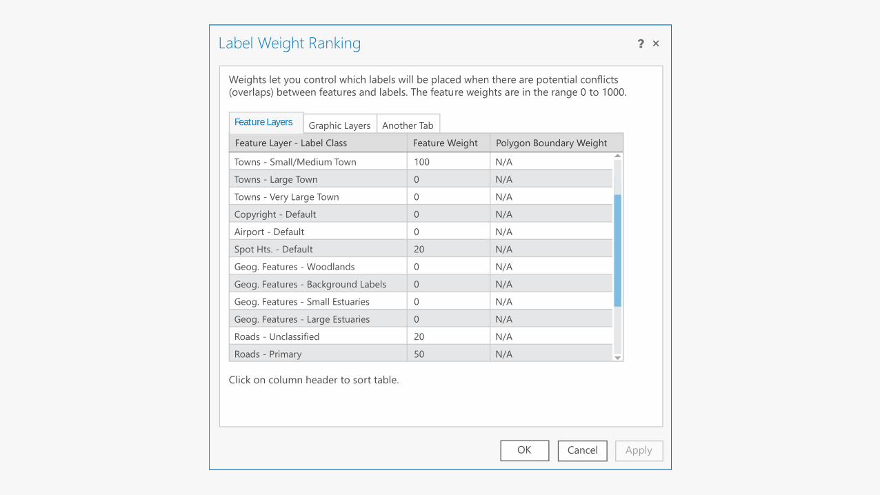
Label Weight Ranking
Another TabGraphic Layers
Weights let you control which labels will be placed when there are potential conflicts
(overlaps) between features and labels. The feature weights are in the range 0 to 1000.
OK
Feature Layer - Label Class Feature Weight Polygon Boundary Weight
Click on column header to sort table.
Towns - Small/Medium Town
Towns - Large Town
Towns - Very Large Town
Copyright - Default
Airport - Default
Spot Hts. - Default
Geog. Features - Woodlands
Geog. Features - Background Labels
Geog. Features - Small Estuaries
Geog. Features - Large Estuaries
Roads - Unclassified
Roads - Primary
100
0
0
0
0
20
0
0
0
0
20
50
N/A
N/A
N/A
N/A
N/A
N/A
N/A
N/A
N/A
N/A
N/A
N/A
Feature Layers
Cancel Apply
Label Weight Ranking
Another TabGraphic Layers
Weights let you control which labels will be placed when there are potential conflicts
(overlaps) between features and labels. The feature weights are in the range 0 to 1000.
OK
Feature Layer - Label Class Feature Weight Polygon Boundary Weight
Click on column header to sort table.
Towns - Small/Medium Town
Towns - Large Town
Towns - Very Large Town
Copyright - Default
Airport - Default
Spot Hts. - Default
Geog. Features - Woodlands
Geog. Features - Background Labels
Geog. Features - Small Estuaries
Geog. Features - Large Estuaries
Roads - Unclassified
Roads - Primary
100
0
0
0
0
20
0
0
0
0
20
50
N/A
N/A
N/A
N/A
N/A
N/A
N/A
N/A
N/A
N/A
N/A
N/A
Feature Layers
Towns - Small/Medium Town
Towns - Large Town
Towns - Very Large Town
Copyright - Default
Airport - Default
Spot Hts. - Default
Geog. Features - Woodlands
Geog. Features - Background Labels
Geog. Features - Small Estuaries
Geog. Features - Large Estuaries
F A

Questions