Embed Size (px)
Citation preview

Topographic Maps and Satellite Views
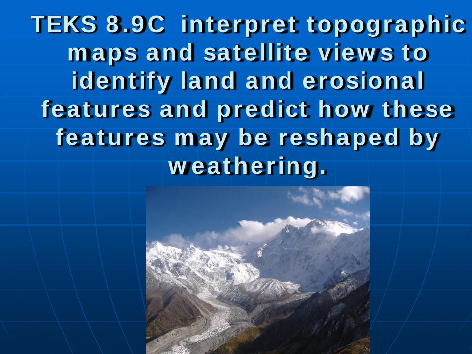
TEKS 8.9C interpret topographic maps and satellite views to identify land and erosional
features and predict how these features may be reshaped by
weathering.
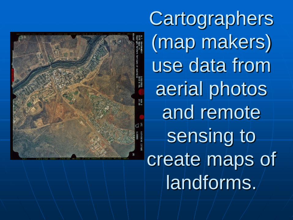
Cartographers (map makers) use data from aerial photos and remote sensing to
create maps of landforms.
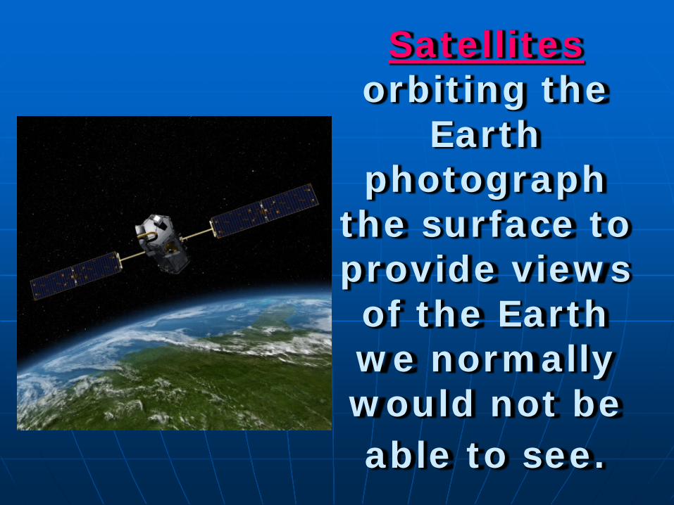
Satellites orbiting the
Earth photograph
the surface to provide views of the Earth we normally would not be able to see.

The photos from satellites correlate to maps that show the
shape and elevation of a given area.
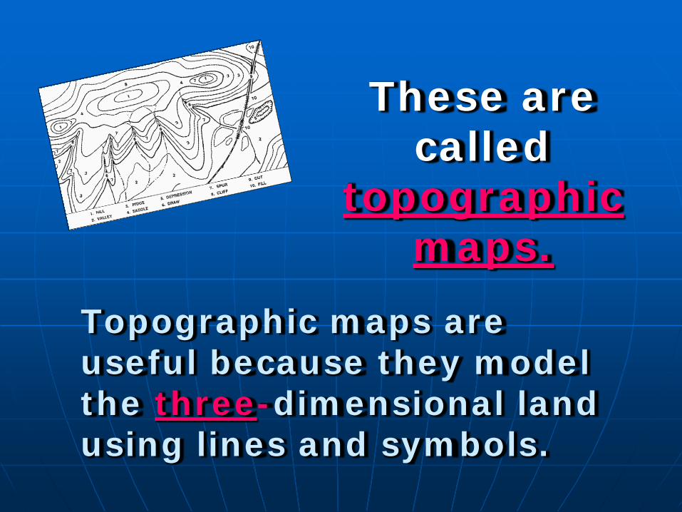
These are called
topographic maps.
Topographic maps are useful because they model the three-dimensional land using lines and symbols.

Topographic maps show the location and
shape of landforms using contour lines.

Contour lines are imaginary lines that connect points with the same elevation.

Each contour line represents one
elevation.

Contour lines never cross.
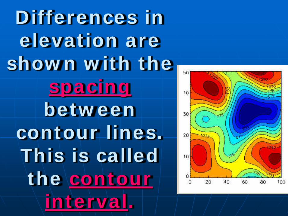
Differences in elevation are
shown with the spacing between
contour lines. This is called the contour
interval.

Closely spaced
contours represent steep slopes.

Widely spaced contour lines
represent gentle slopes.
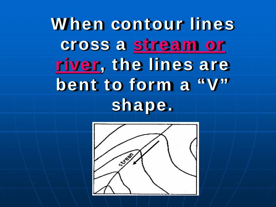
When contour lines cross a stream or river, the lines are bent to form a “V”
shape. uphill
downhill
Direction of water flow
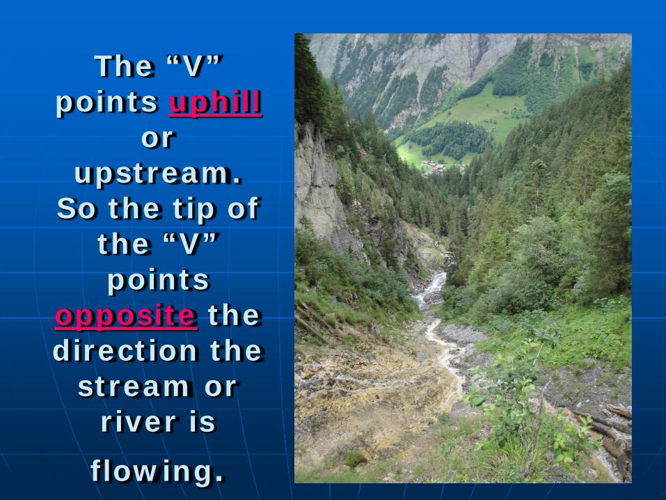
The “V” points uphill
or upstream.
So the tip of the “V” points
opposite the direction the
stream or river is flowing.