Embed Size (px)
Citation preview

Pleasant View/SW 14th

Pleasant View/SW 14th
• Temporary before future signal? No• Crash history? No• Minimum Volumes? PV – Yes, 14th – No• Pedestrian conflicts? Minimal• Sight distance? No• Operational benefit? No• Recommendations:
– Evaluate as Pleasant Valley builds out– Request selective GPD enforcement
Trails and Paths Map Update
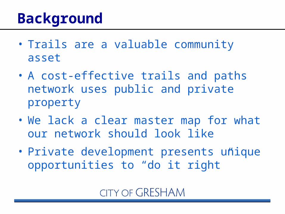
Background
• Trails are a valuable community asset
• A cost-effective trails and paths network uses public and private property
• We lack a clear master map for what our network should look like
• Private development presents unique opportunities to “do it right”

• Adopt one “Master” Trails and Paths Map
• Benefits of Updated Map– Informs private landowners
– Takes advantage of recent public land acquisitions
– Resolves issues with earlier maps
– Highlights investments that have been made in trails and paths since last master trail map (adopted in 1996)
– Helps the City work proactively with private property owners and developers
Goal
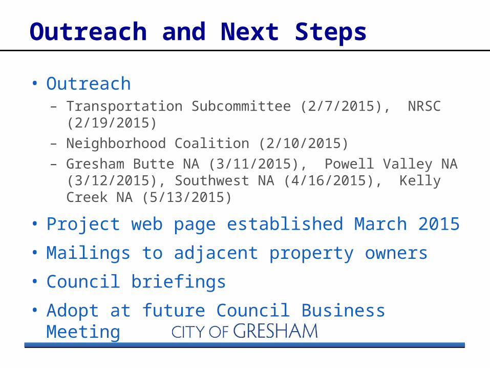
Outreach and Next Steps
• Outreach – Transportation Subcommittee (2/7/2015), NRSC
(2/19/2015)– Neighborhood Coalition (2/10/2015)– Gresham Butte NA (3/11/2015), Powell Valley NA
(3/12/2015), Southwest NA (4/16/2015), Kelly Creek NA (5/13/2015)
• Project web page established March 2015
• Mailings to adjacent property owners
• Council briefings
• Adopt at future Council Business Meeting
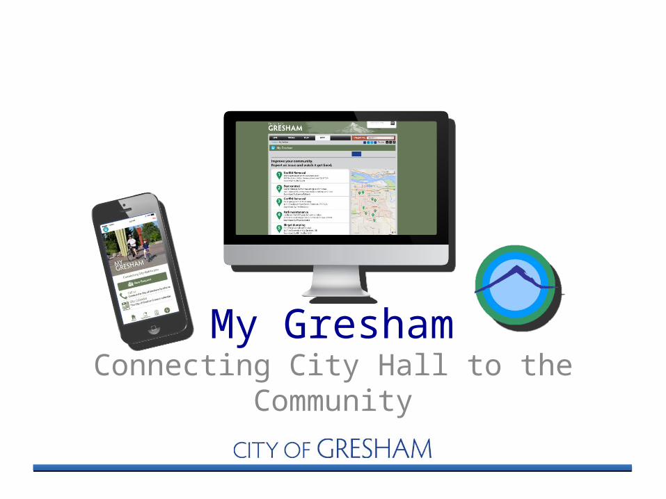
My GreshamConnecting City Hall to the
Community

What it is
• My Gresham allows the community to connect directly to City staff to keep Gresham clean, safe and livable.
• Users can submit a service request to fix a pothole, replace a sign, report dangerous road conditions, and more.– Web interface – Mobile app
• Service requests are instantly routed to the right person at City Hall.
• Users can track the City’s progress and are notified when their issue is fixed.


Check out My Gresham at:
http://www.greshamoregon.gov/MyGresham