Embed Size (px)
Citation preview

Developing for Geospatial on Mobile
Steve Gifford mousebird consulting inc
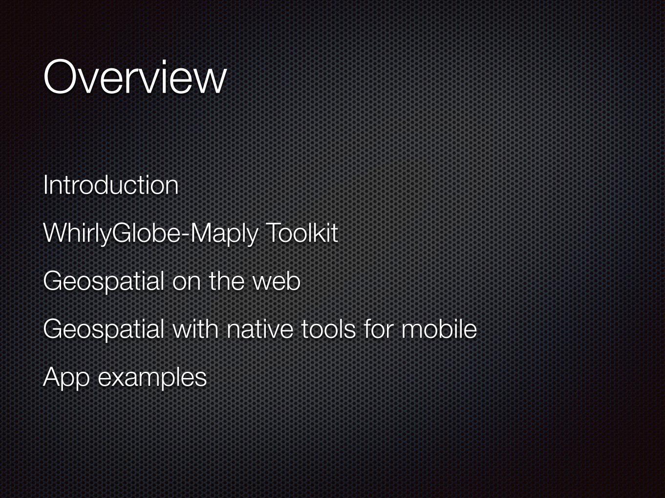
Overview
Introduction WhirlyGlobe-Maply Toolkit Geospatial on the web Geospatial with native tools for mobile App examples
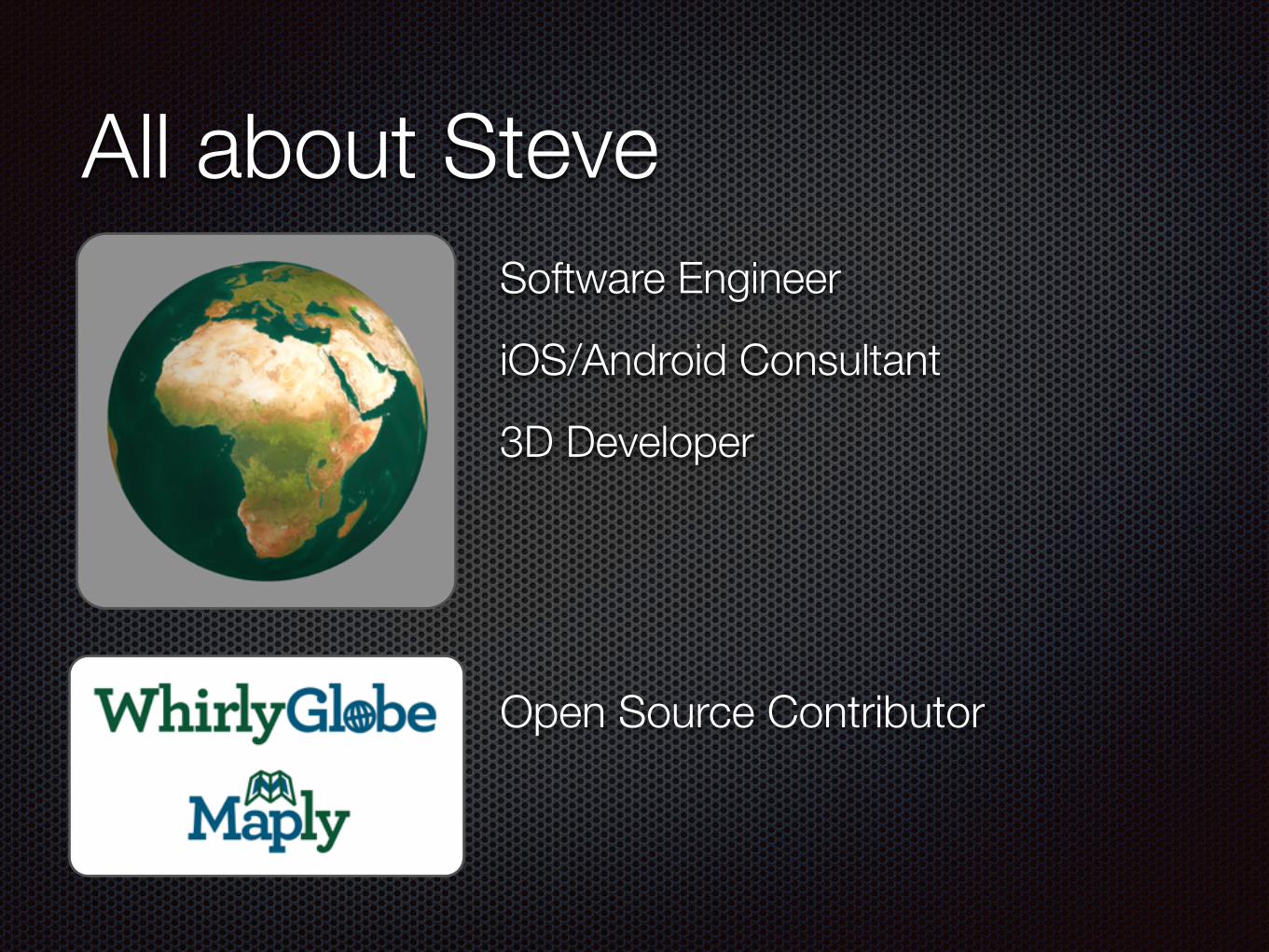
All about Steve
Open Source Contributor
Software Engineer
iOS/Android Consultant
3D Developer
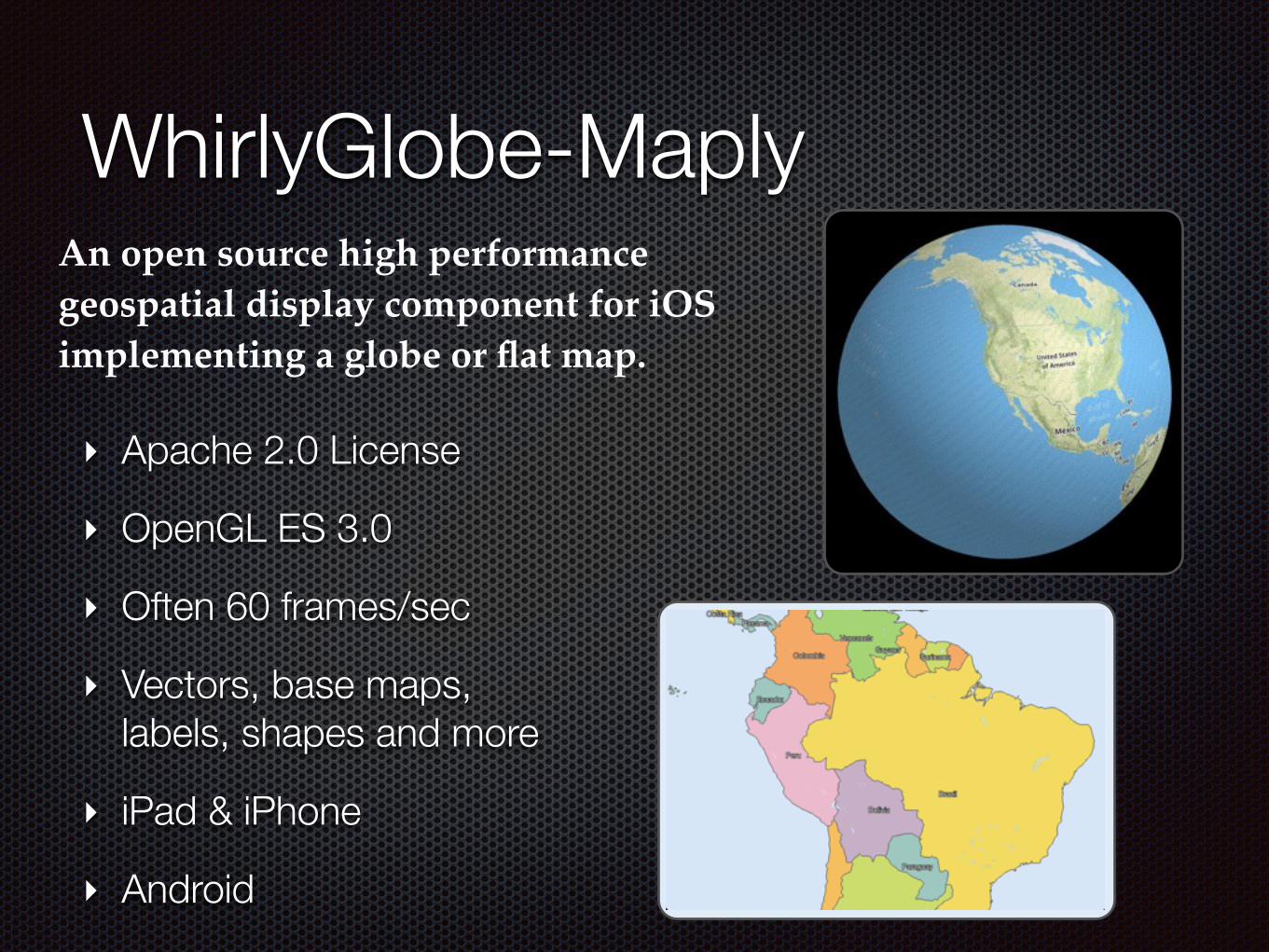
WhirlyGlobe-MaplyAn open source high performance geospatial display component for iOS implementing a globe or flat map.
‣ Apache 2.0 License
‣ OpenGL ES 3.0
‣ Often 60 frames/sec
‣ Vectors, base maps, labels, shapes and more
‣ iPad & iPhone
‣ Android

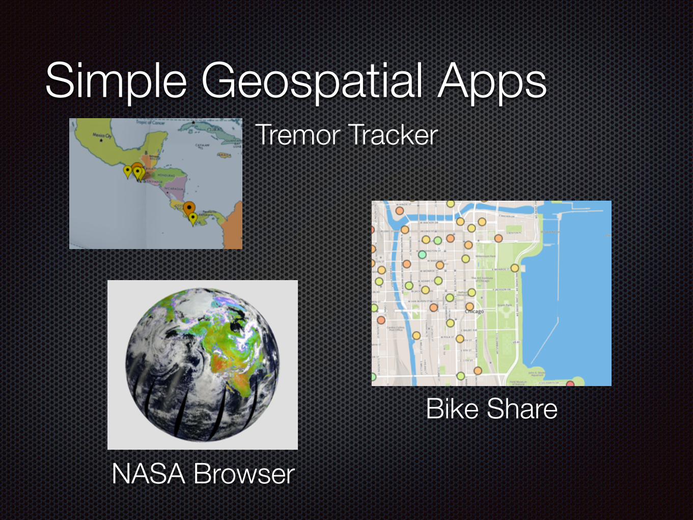
Simple Geospatial Apps
Bike Share
NASA Browser
Tremor Tracker
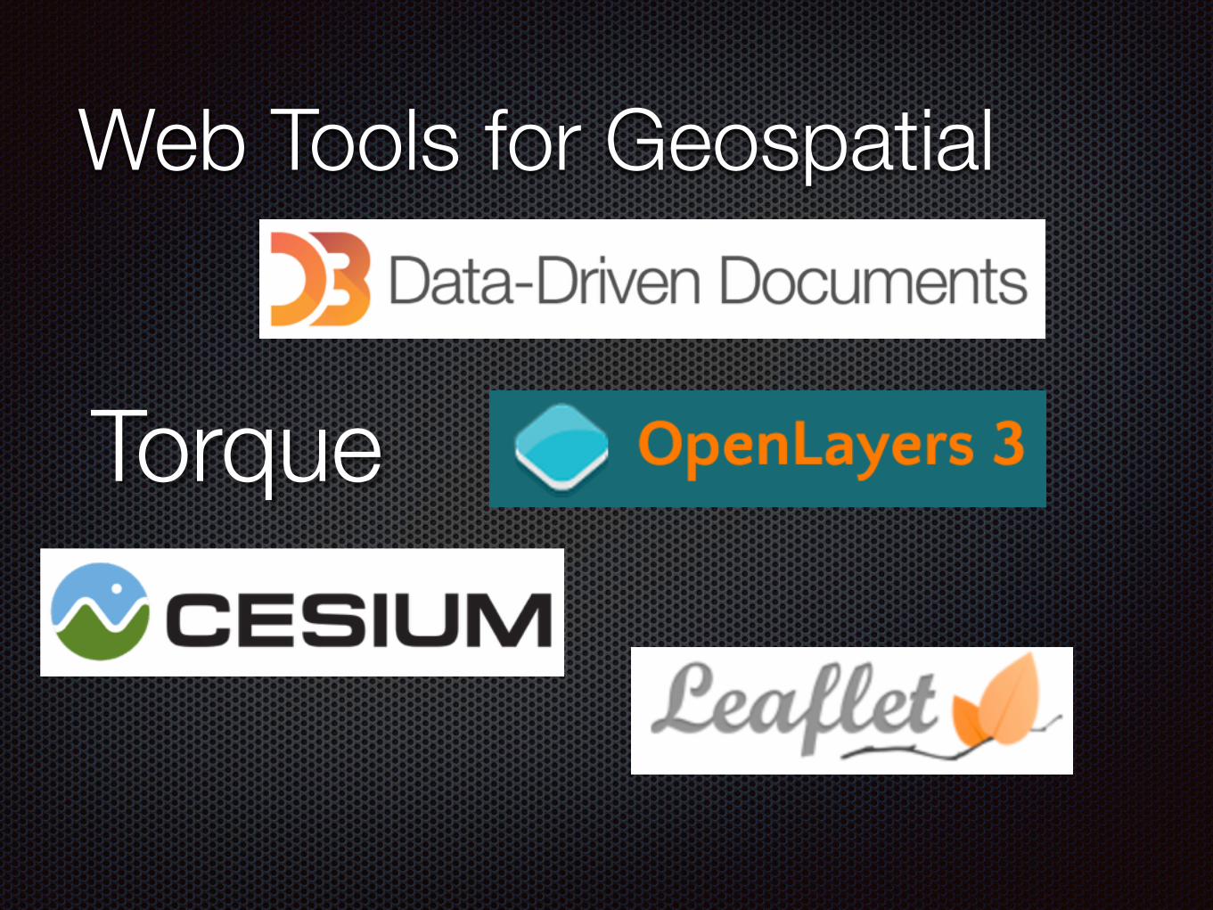
Web Tools for Geospatial
Torque
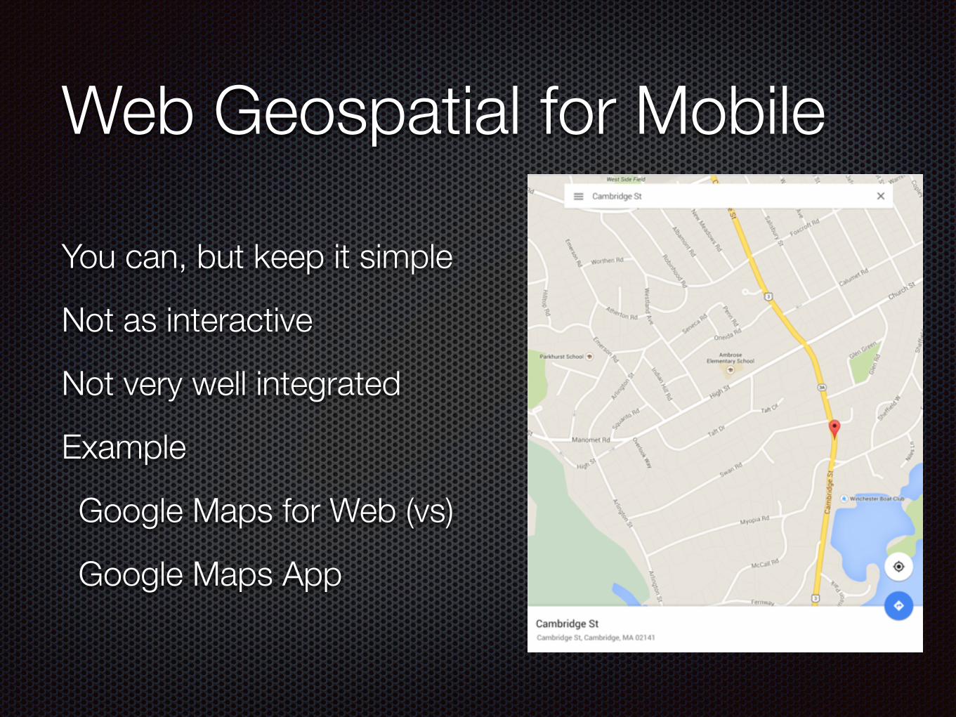
Web Geospatial for Mobile
You can, but keep it simple
Not as interactive
Not very well integrated
Example
Google Maps for Web (vs)
Google Maps App
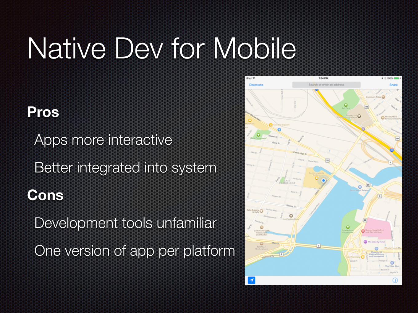
Native Dev for Mobile
Pros
Apps more interactive
Better integrated into system
Cons
Development tools unfamiliar
One version of app per platform
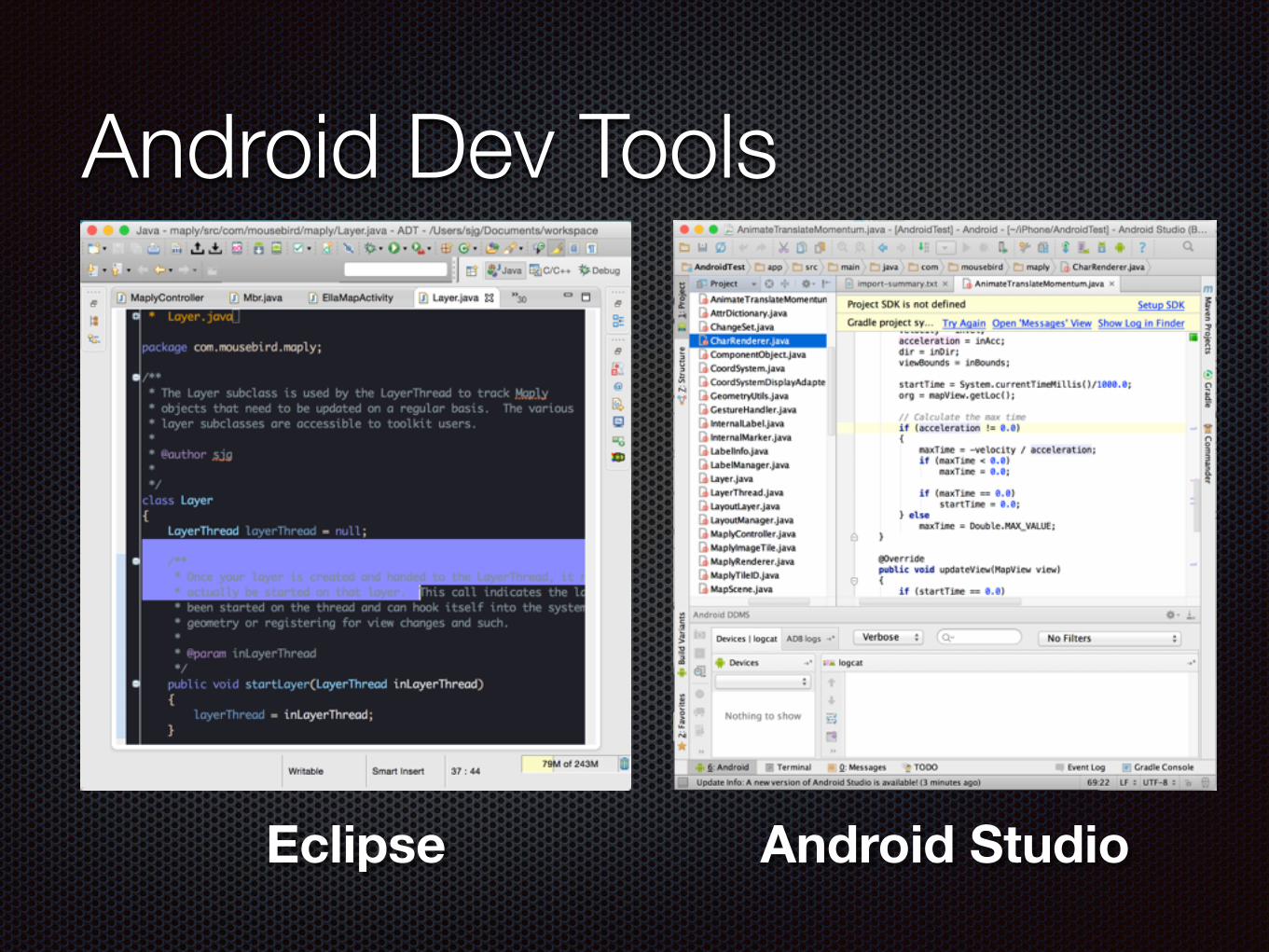
Android Dev Tools
Eclipse
Android Studio
Free
Eclipse Android Studio
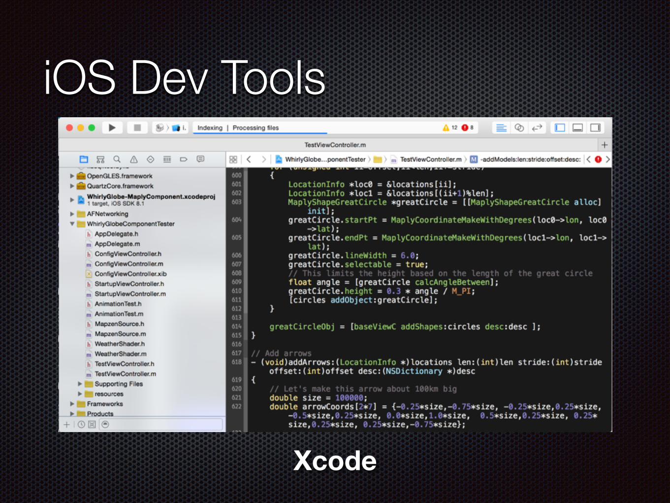
iOS Dev Tools
Xcode
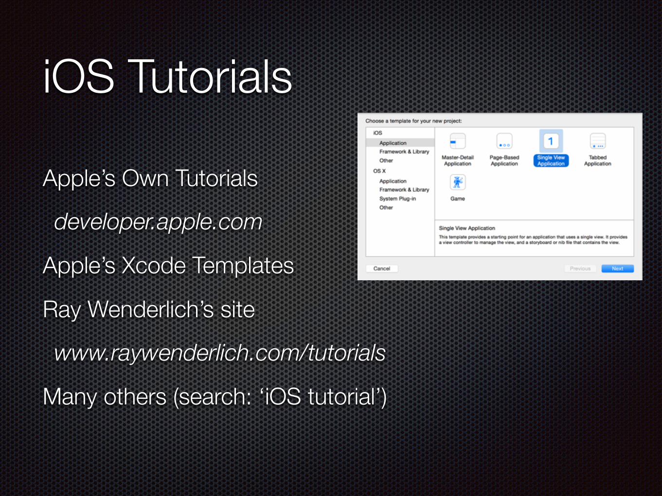
iOS Tutorials
Apple’s Own Tutorials
developer.apple.com
Apple’s Xcode Templates
Ray Wenderlich’s site
www.raywenderlich.com/tutorials
Many others (search: ‘iOS tutorial’)
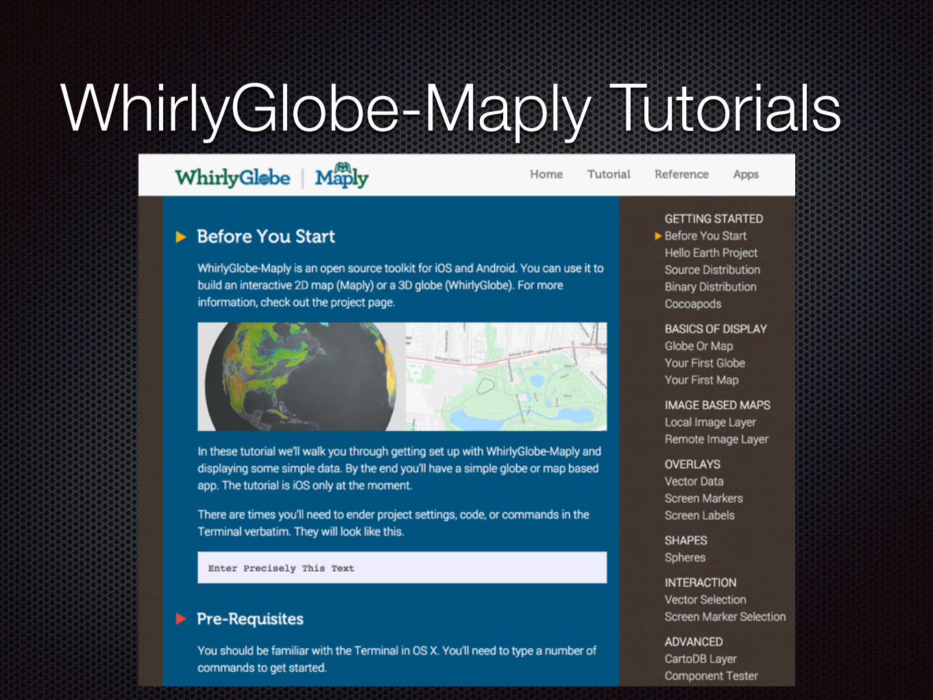
WhirlyGlobe-Maply Tutorials
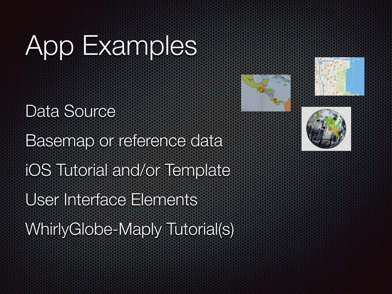
App Examples
Data Source Basemap or reference data iOS Tutorial and/or Template User Interface Elements WhirlyGlobe-Maply Tutorial(s)
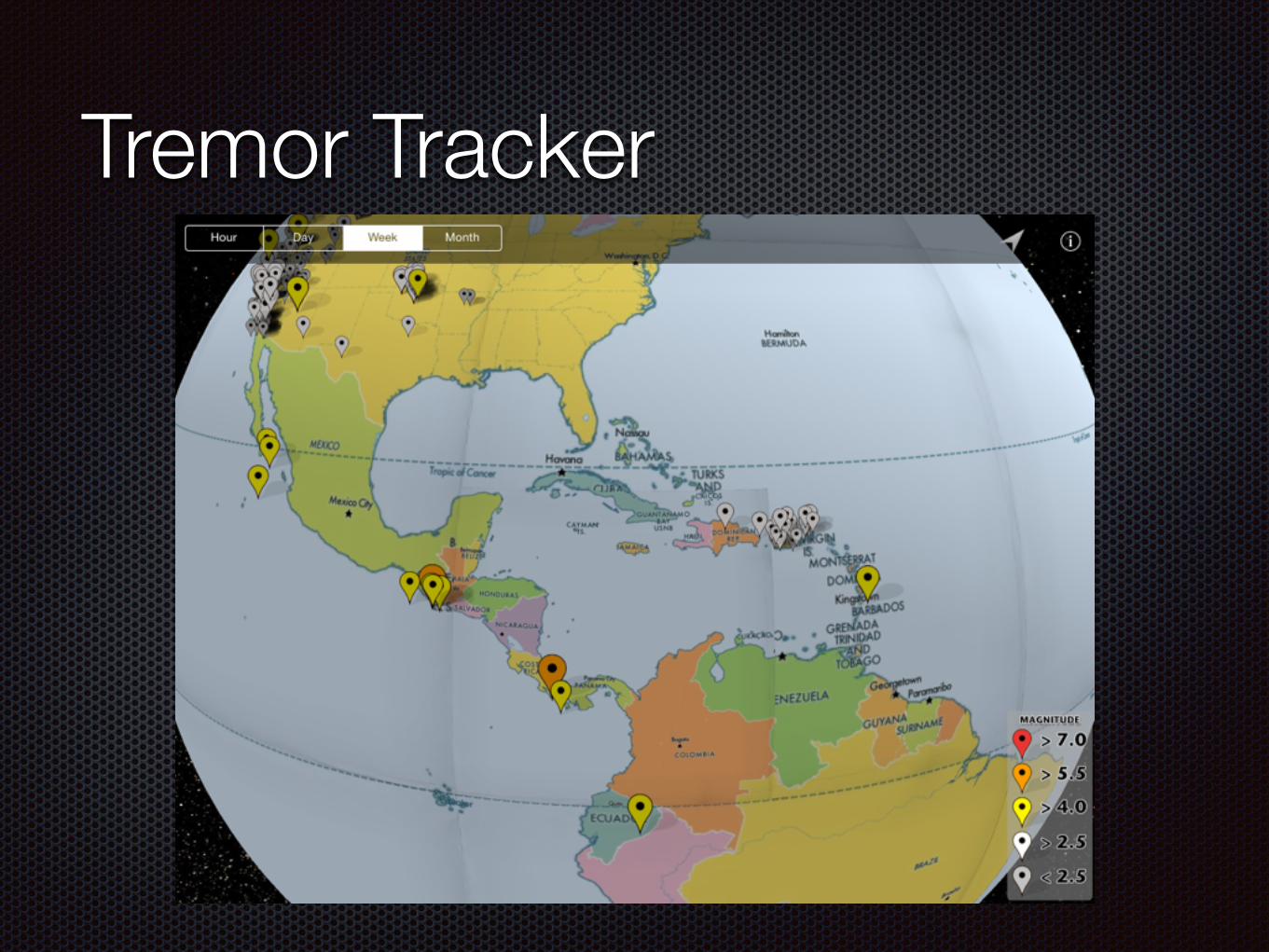
Tremor Tracker
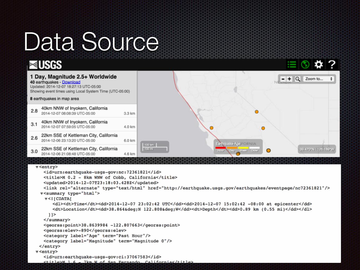
Data Source
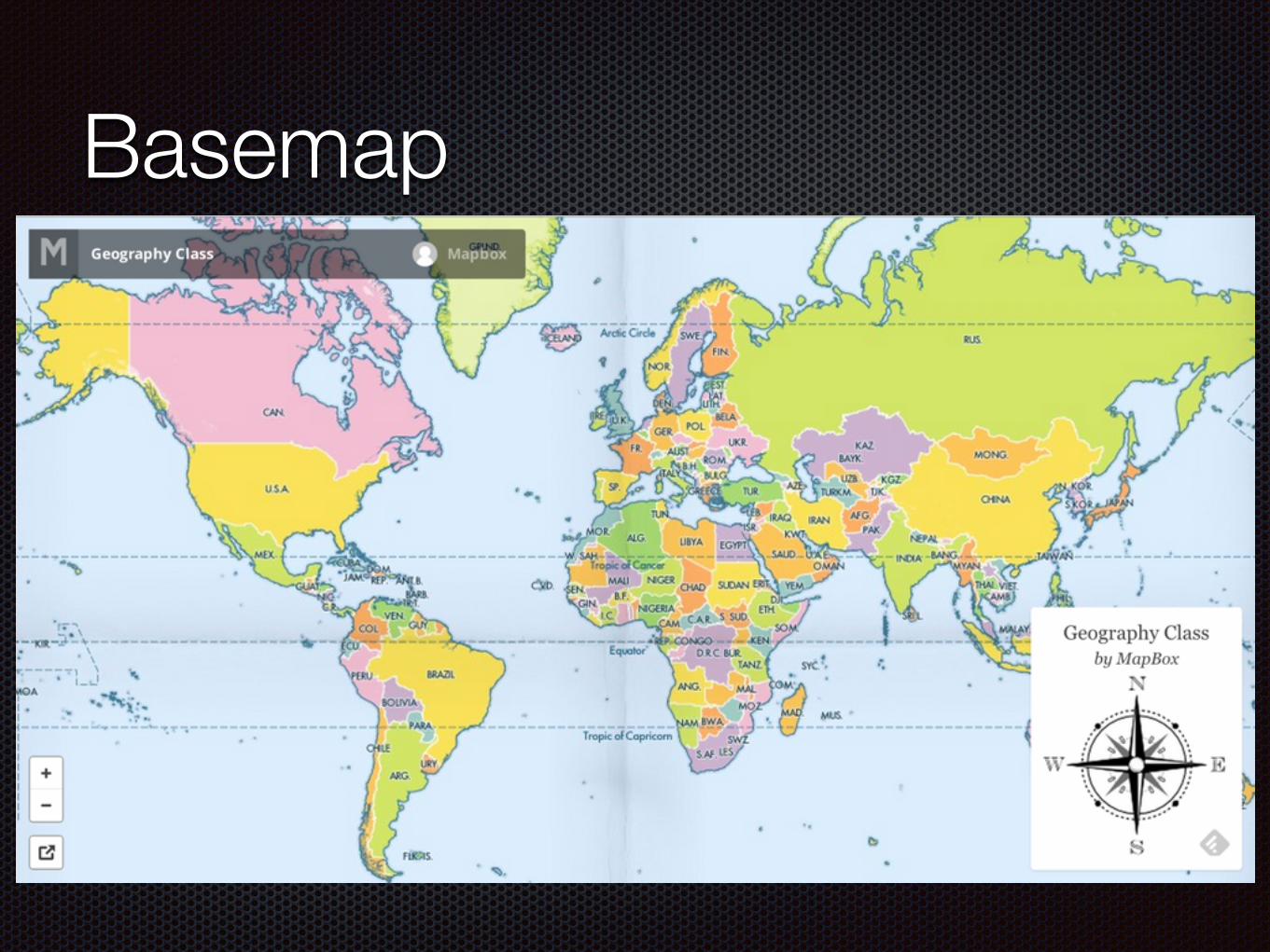
Basemap
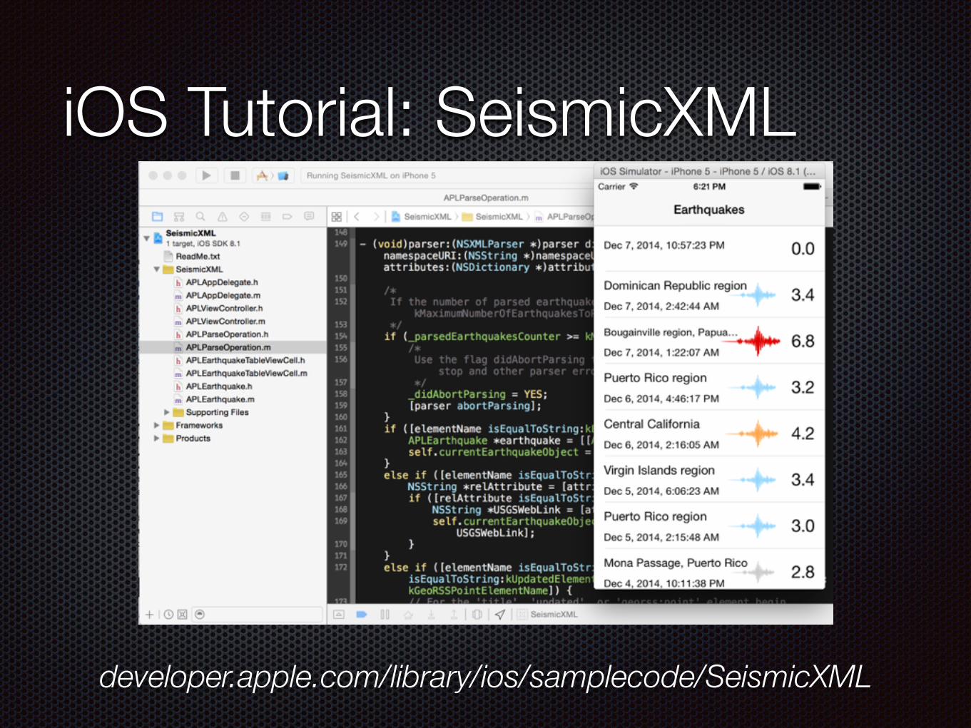
iOS Tutorial: SeismicXML
developer.apple.com/library/ios/samplecode/SeismicXML
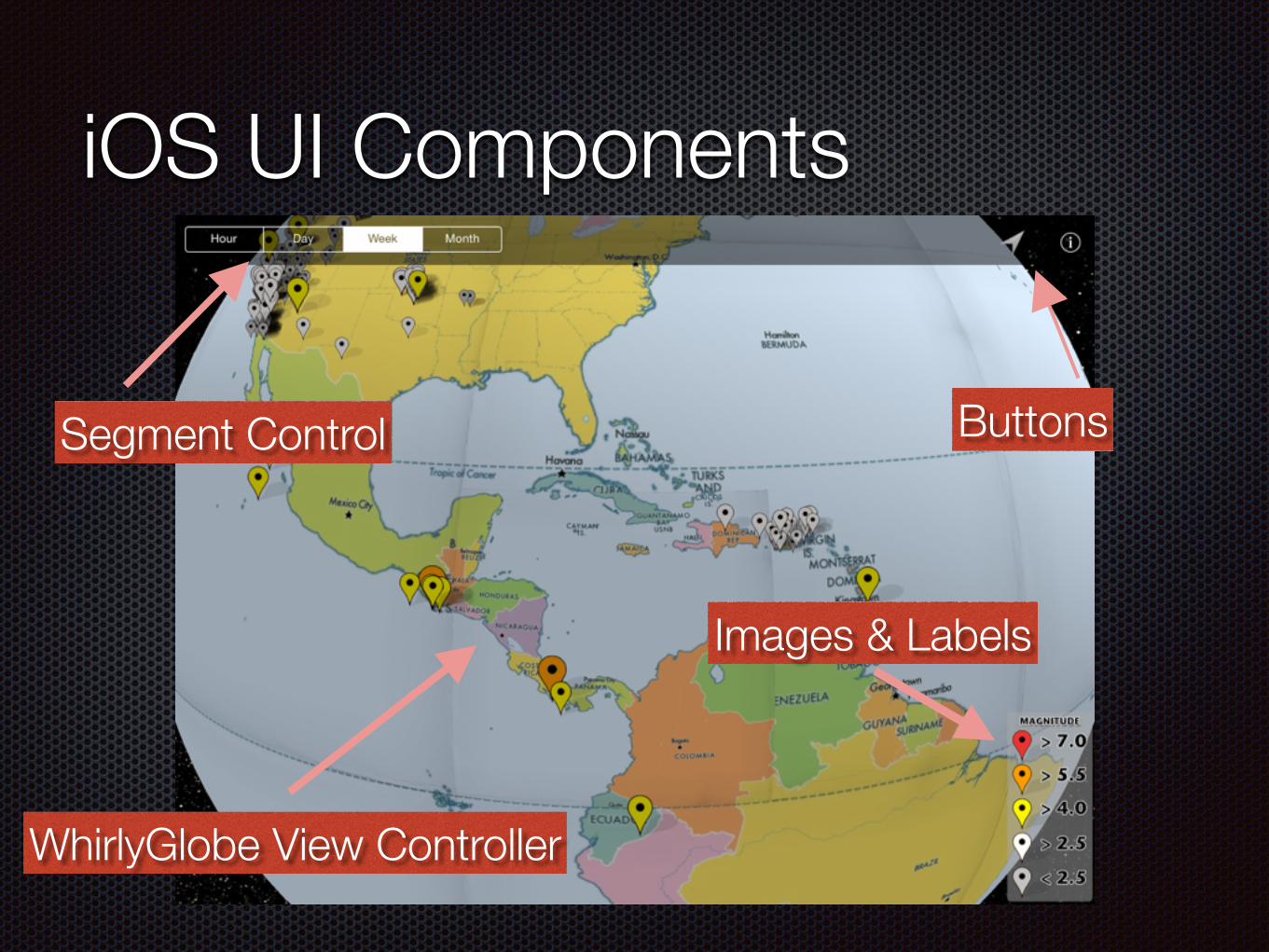
iOS UI Components
Segment Control Buttons
Images & Labels
WhirlyGlobe View Controller
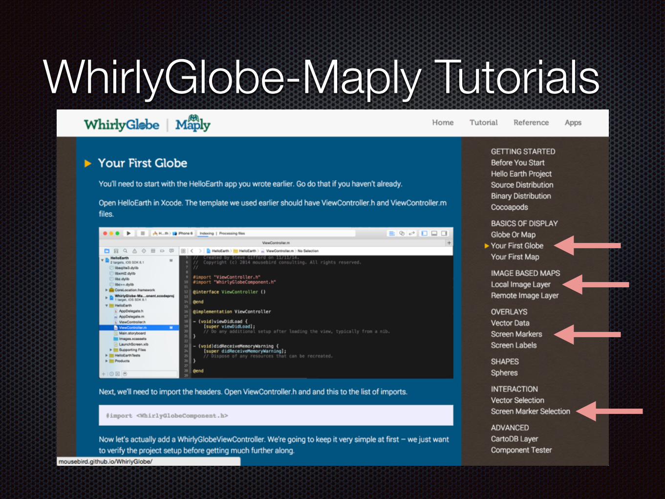
WhirlyGlobe-Maply Tutorials
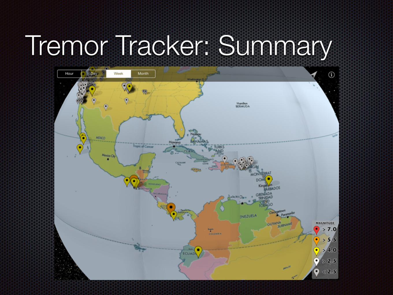
Tremor Tracker: Summary
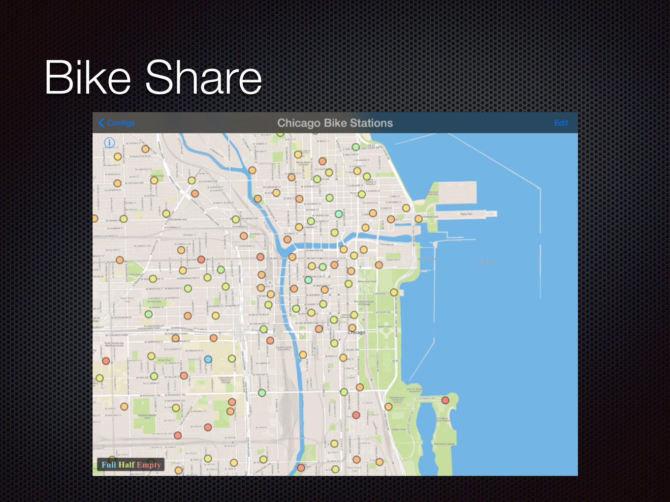
Bike Share
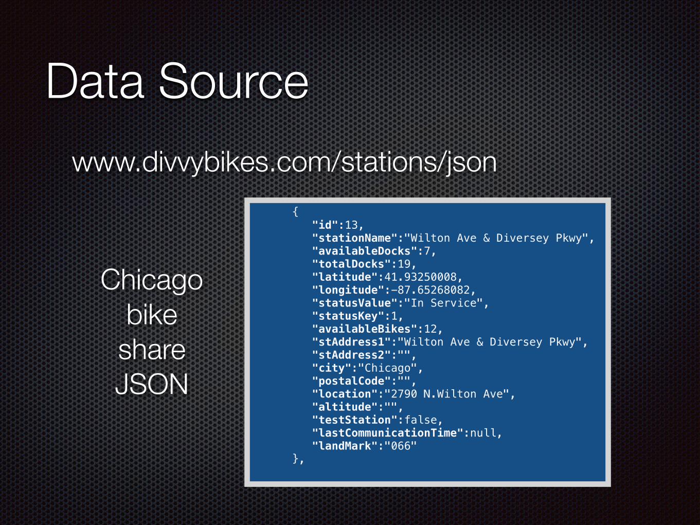
Data Source
{ "id":13, "stationName":"Wilton Ave & Diversey Pkwy", "availableDocks":7, "totalDocks":19, "latitude":41.93250008, "longitude":-87.65268082, "statusValue":"In Service", "statusKey":1, "availableBikes":12, "stAddress1":"Wilton Ave & Diversey Pkwy", "stAddress2":"", "city":"Chicago", "postalCode":"", "location":"2790 N.Wilton Ave", "altitude":"", "testStation":false, "lastCommunicationTime":null, "landMark":"066" },
www.divvybikes.com/stations/json
Chicago bike
share JSON
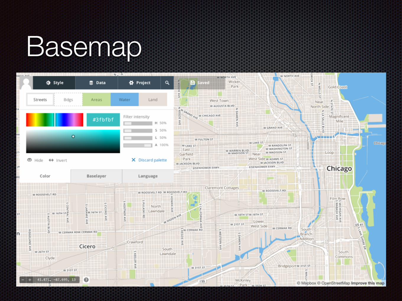
Basemap
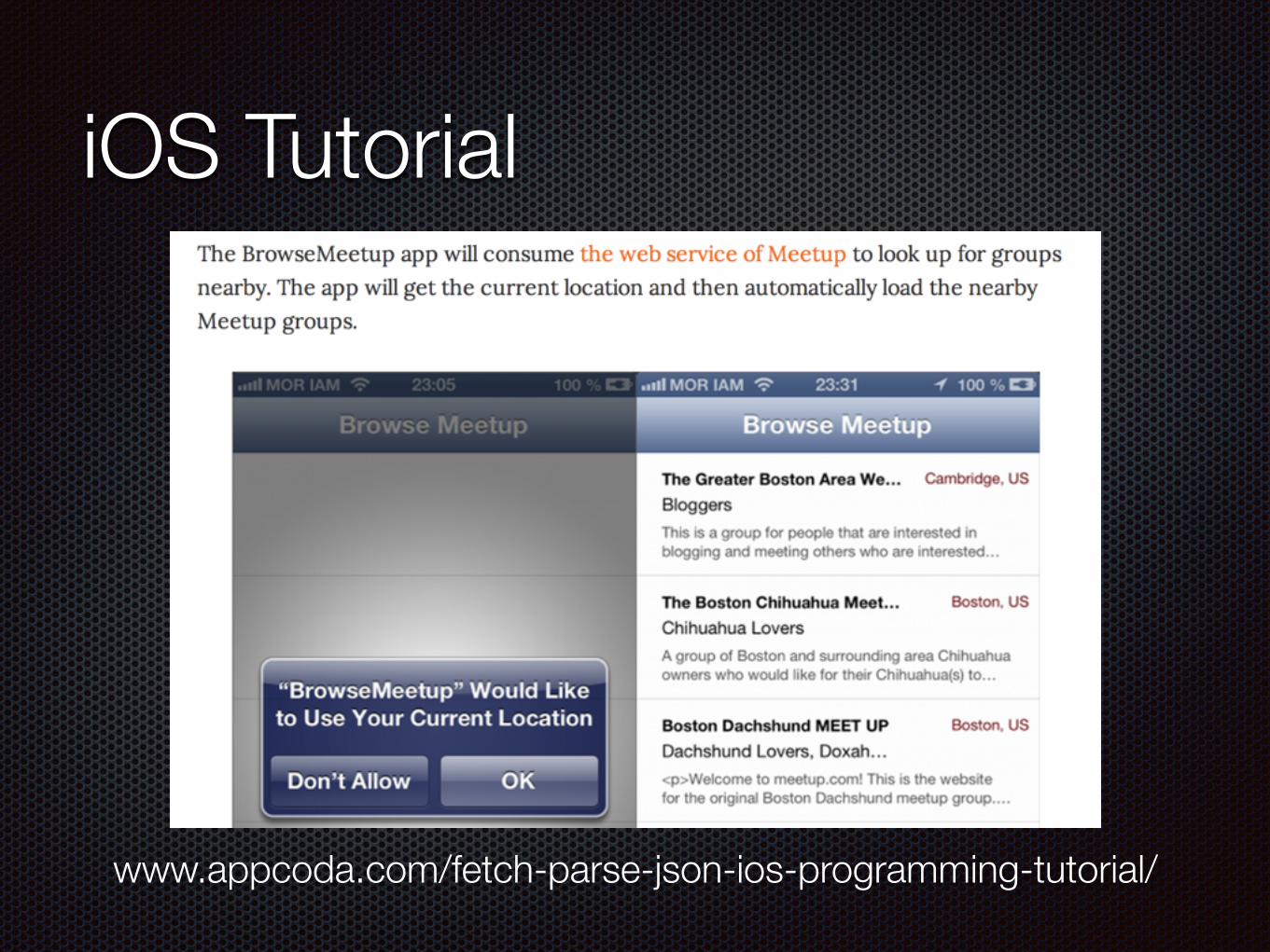
iOS Tutorial
www.appcoda.com/fetch-parse-json-ios-programming-tutorial/
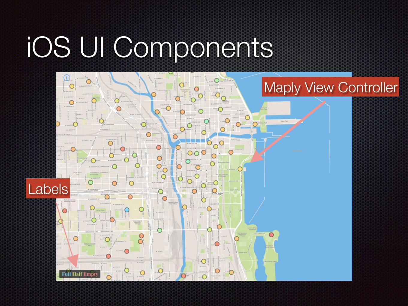
iOS UI Components
Labels
Maply View Controller
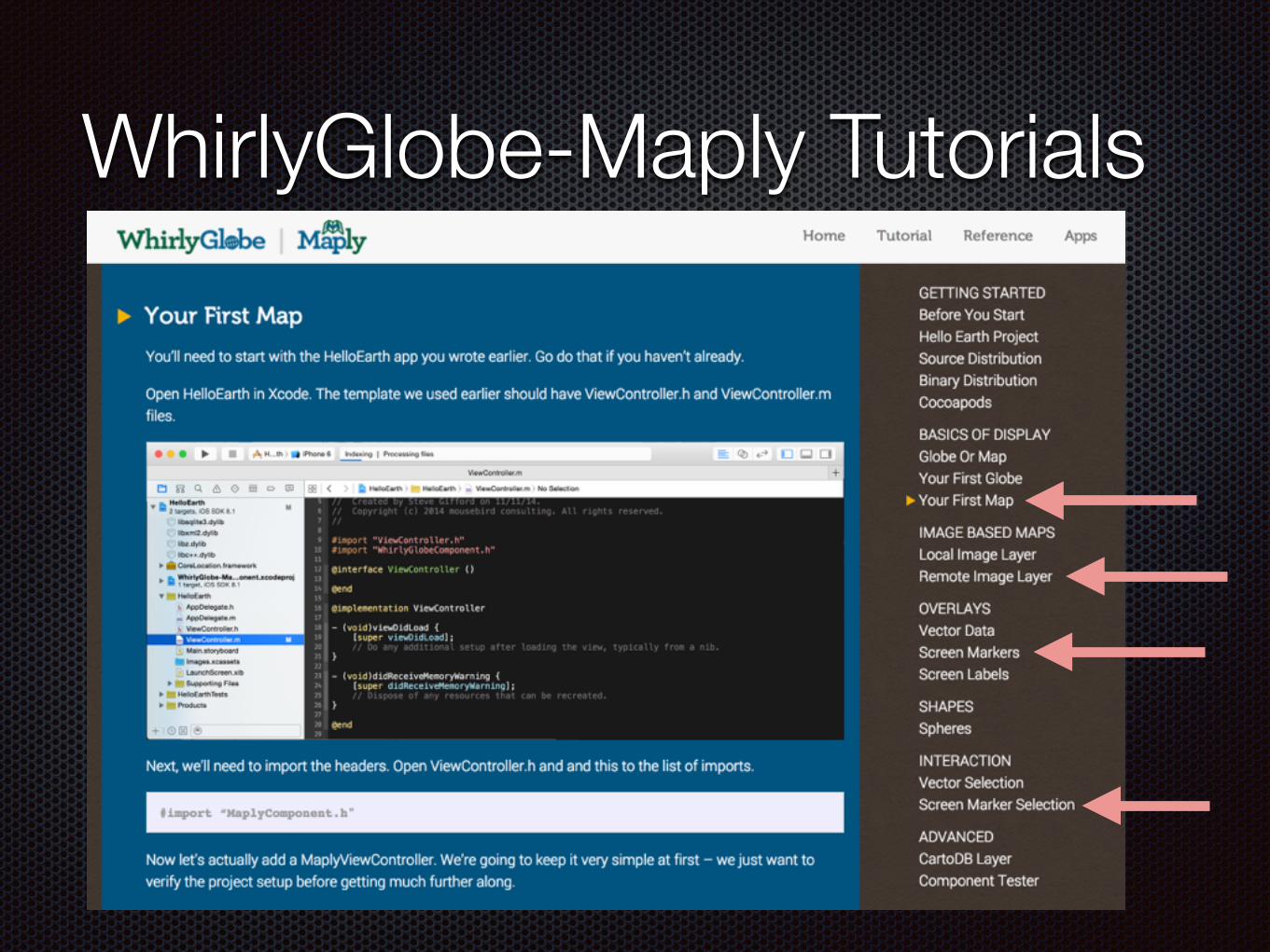
WhirlyGlobe-Maply Tutorials
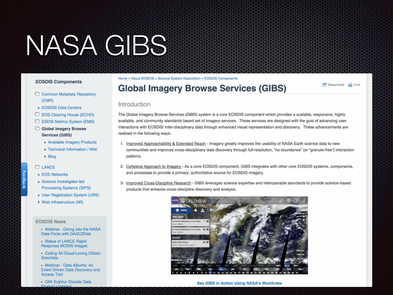
NASA GIBS
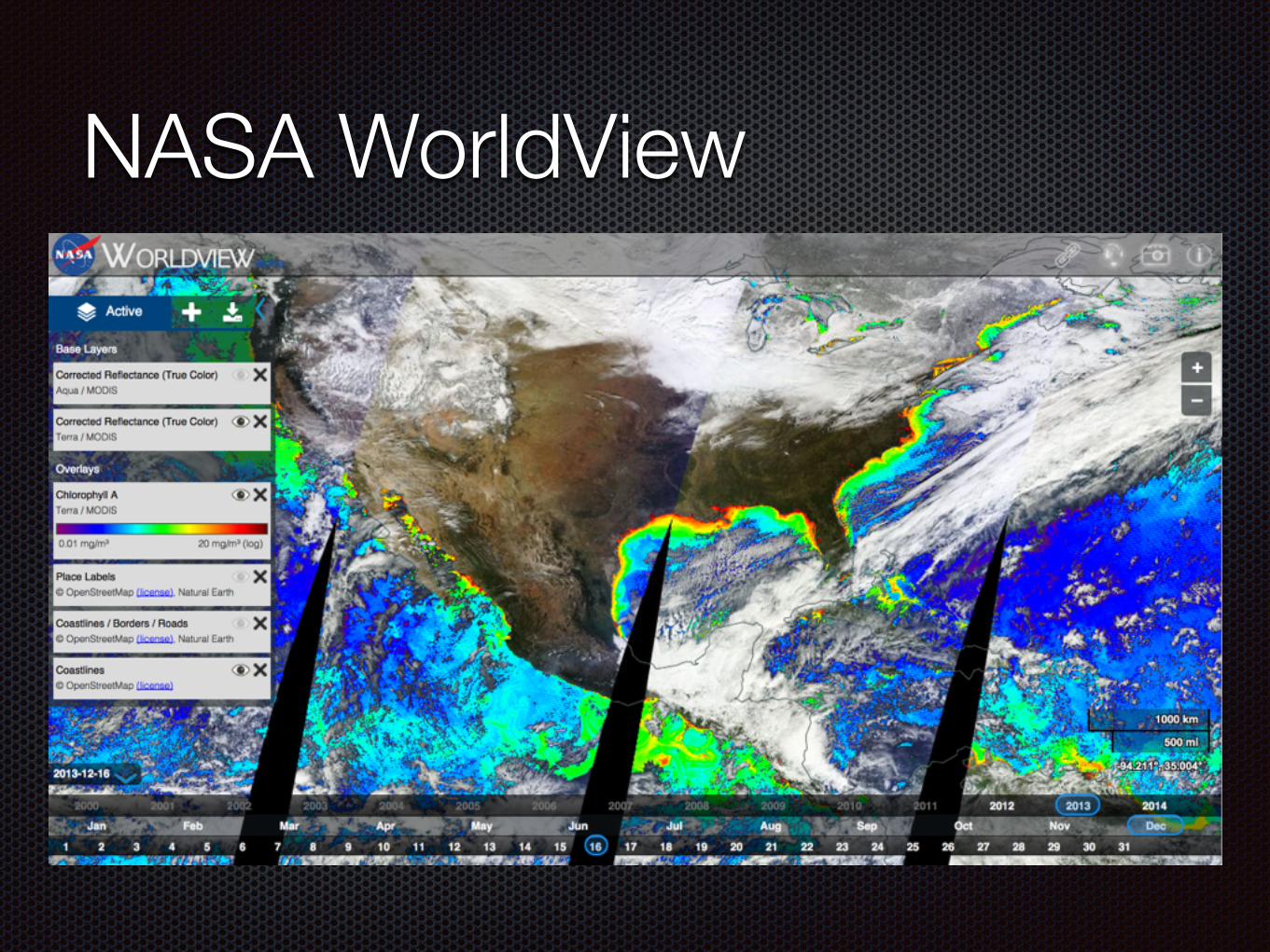
NASA WorldView
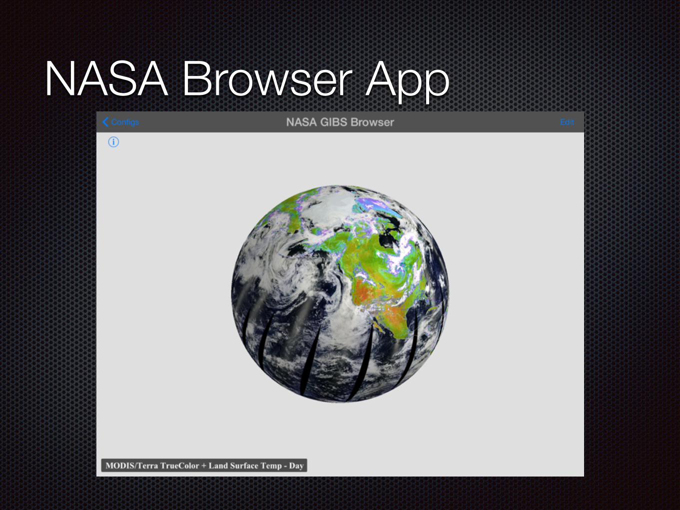
NASA Browser App
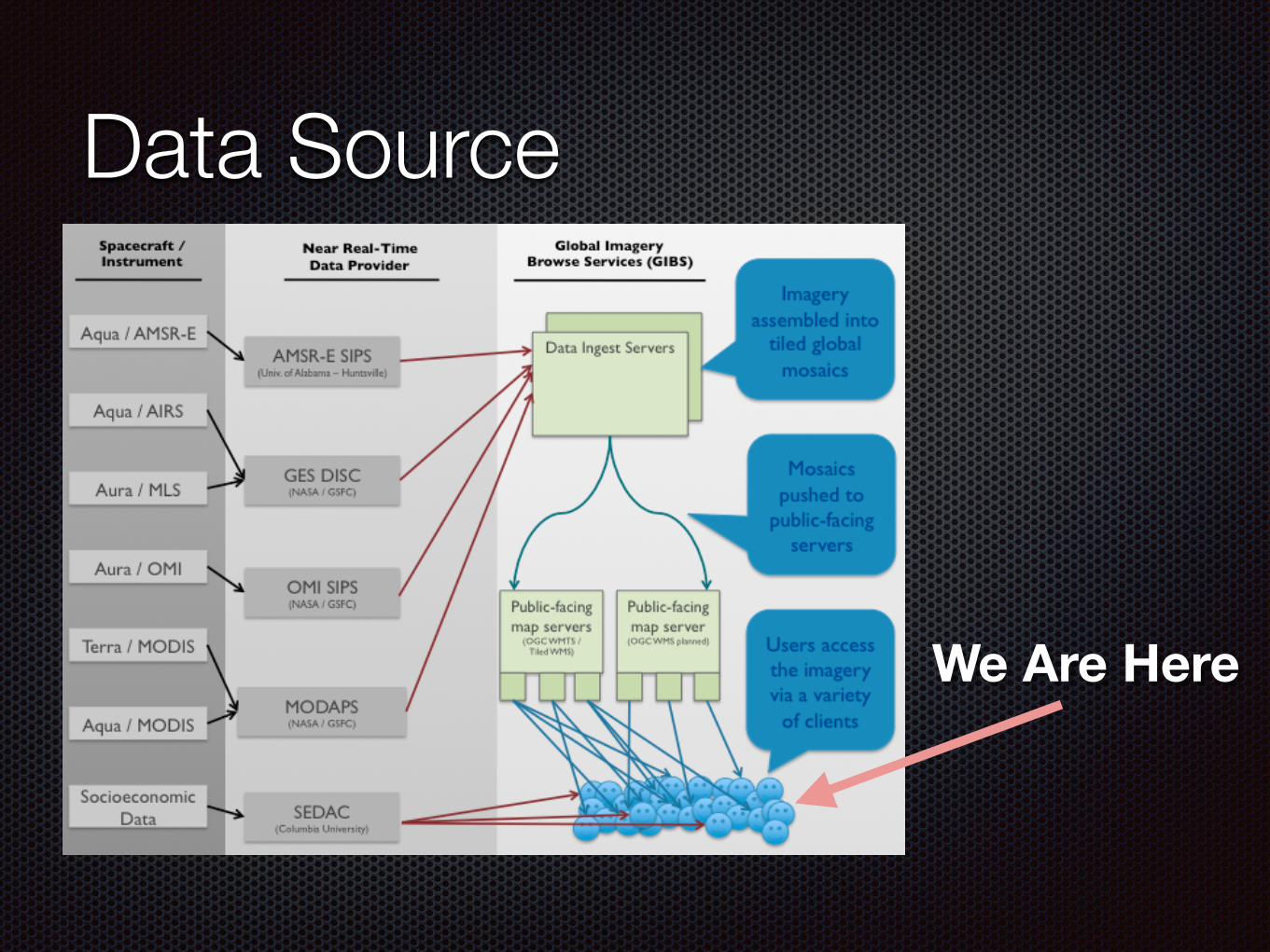
Data Source
We Are Here
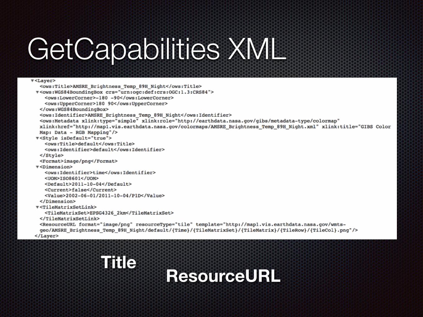
GetCapabilities XML
ResourceURLTitle
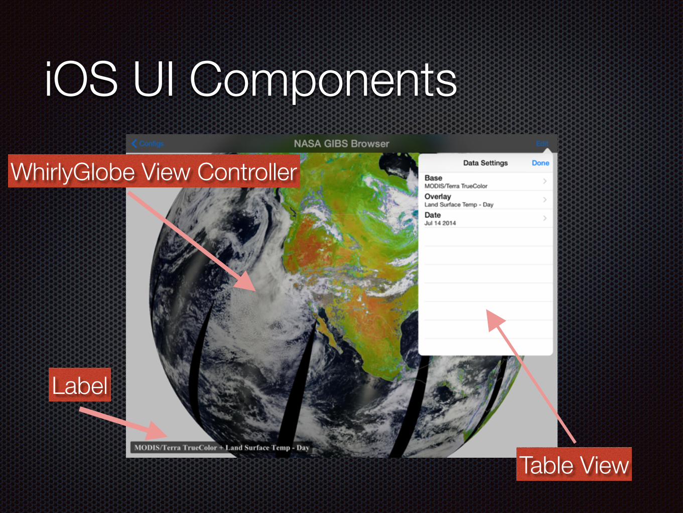
iOS UI Components
Label
WhirlyGlobe View Controller
Table View
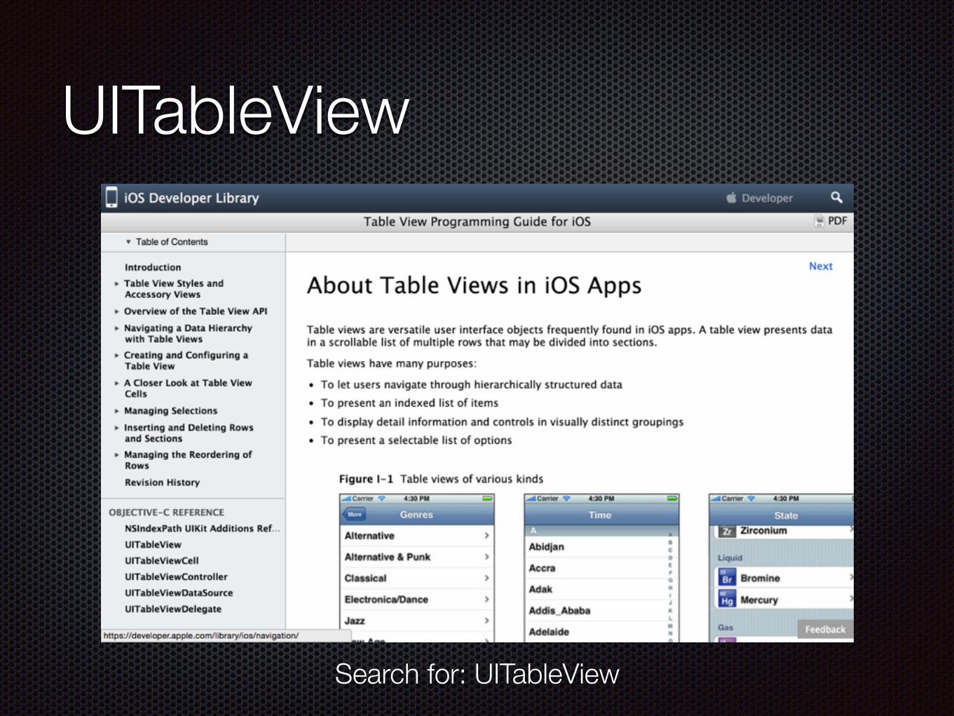
UITableView
Search for: UITableView
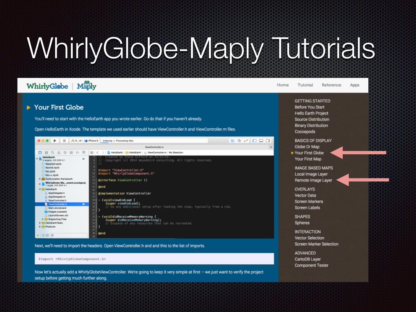
WhirlyGlobe-Maply Tutorials

NASA Browser App
SummaryIntroduced WhirlyGlobe-Maply
Discussed Geospatial on web vs native
Overview of Native Dev Tools, mostly iOS
App Breakdowns
Tremor Tracker
Bike Share Availability
NASA Data Browser

Links & ContactsContact
@mousebirdc
mousebirdconsulting.com
Slides www.slideshare.net/mousebird/avidgeo-dec-2014
WhirlyGlobe-Maply mousebird.github.io/WhirlyGlobe