Embed Size (px)
Citation preview

CHOOSING THE FUTURE WE
WANT
A short history of development in
Marin County Until the 1940’s, Marin County was primarily
agricultural land serving San Francisco
Post-War development expanded northward and
westward from San Francisco, threatening the West
Marin ecosystem and the farming community
Legislation was in place that was very favorable to
developers
Proposals were in the works to build freeways,
homes, and commercial centers throughout West
Marin
Seeing the need to preserve the pristine beauty and
increasingly vulnerable farm lands, Marin Agricultural
Land Trust (MALT) was formed
It was the first of its kind in the United States
It succeeded in preserving some of the most beautiful
coastland in the world
The Trust has become a model for similar preservation
efforts throughout the country
The area has become a “must see” destination for visitors
from all over the world.
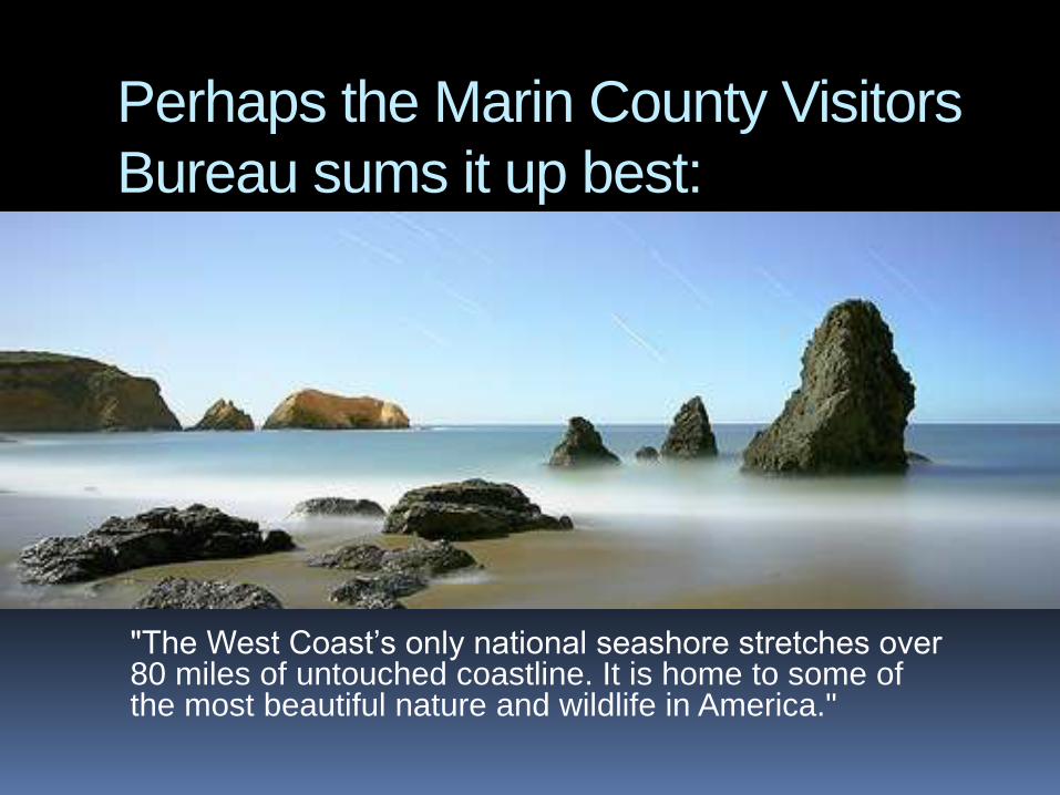
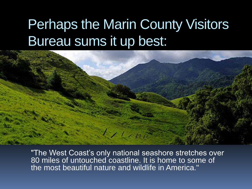
Perhaps the Marin County Visitors
Bureau sums it up best:
"The West Coast’s only national seashore stretches over 80 miles of untouched coastline. It is home to some of the most beautiful nature and wildlife in America."
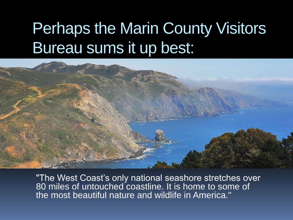
Perhaps the Marin County Visitors
Bureau sums it up best:
"The West Coast’s only national seashore stretches over 80 miles of untouched coastline. It is home to some of the most beautiful nature and wildlife in America."
Perhaps the Marin County Visitors
Bureau sums it up best:
"The West Coast’s only national seashore stretches over 80 miles of untouched coastline. It is home to some of the most beautiful nature and wildlife in America."
The “Grand Bargain”
But to succeed against very stiff opposition,
the MALT founders knew they had to
negotiate on some key issues
An agreement was reached: In return for the
preservation of West Marin, and to
accommodate Marin’s rapidly growing
population, development of higher densities
would be allowed along the Route 101
corridor
The General Plan
Marin County’s General Plan has worked toward that
goal in the ensuing decades.
Encouraged preservation of open space within
the corridor to the extent practical
Encouraged creation of transit-oriented
development
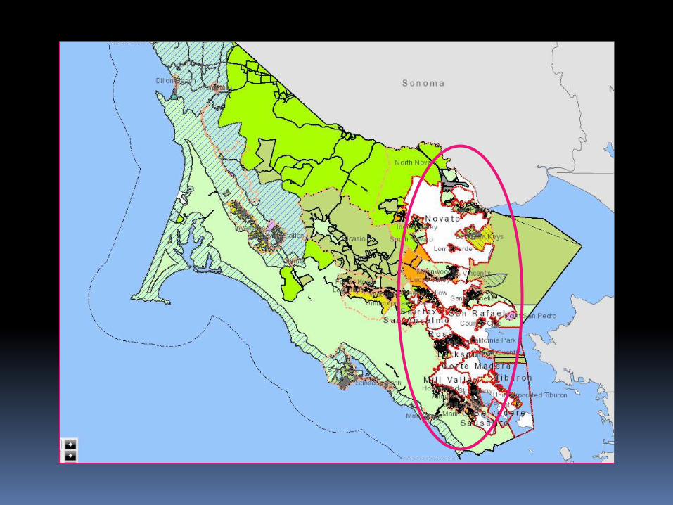
As a result,
more than 85%
of Marin County is
permanent,
dedicated open space
So how do we accommodate our
growing population in the remaining
15%?
Last year, driven by economic
development in Silicon Valley, the
Bay Area was the fastest-growing
region
in California. Over the long term,
regional growth will continue.
Consequences of Marin’s Lack of
affordable housing:
compels 60 percent of the people employed
here to commute from out of county, adding
to air pollution and greenhouse gases
inhibits diversity
Inhibits social equity
How are we doing?
Only a few hundred affordable units have
been built in the last 15 years
The approval process is often arduous and
contentious
We have not come close to meeting the need
Waiting lists for affordable units are years
long
How can we do better?
Educate the general public about the
environmental, social, and economic benefits
of affordable housing
Streamline the approval process
Allow for appropriate density in appropriate
areas
A few words on DENSITY…
Density helps create walk-able neighborhoods
Density supports housing choice and affordability
Density helps expand transportation choices
Density supports community fiscal health
Density helps improve security
Density helps protect the environment
Source: Local Government Commission in cooperation with U.S. Environmental Protection Agency
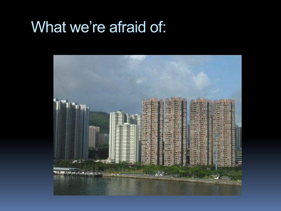
What we’re afraid of:
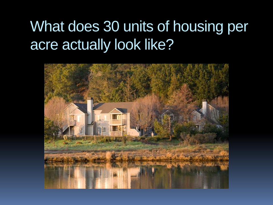
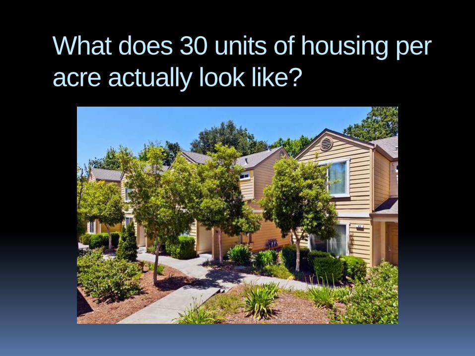
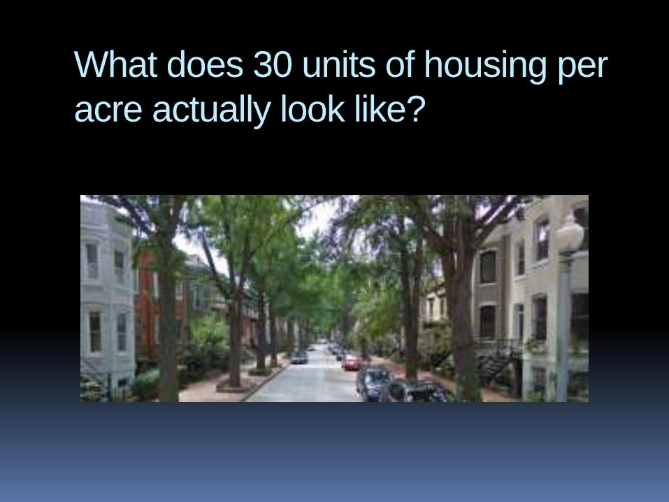
What does 30 units of housing per
acre actually look like?
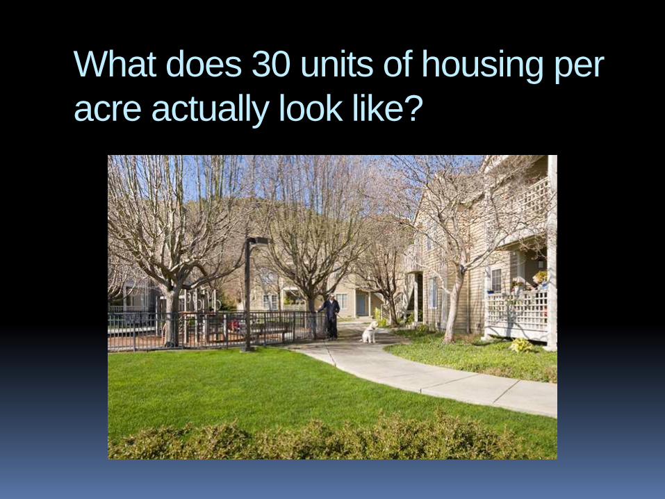
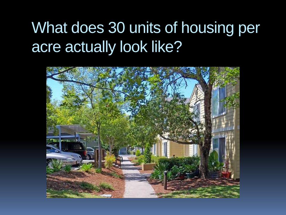
What does 30 units of housing per
acre actually look like?
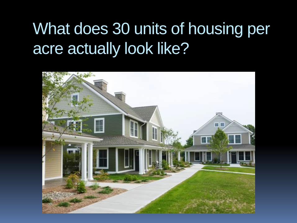
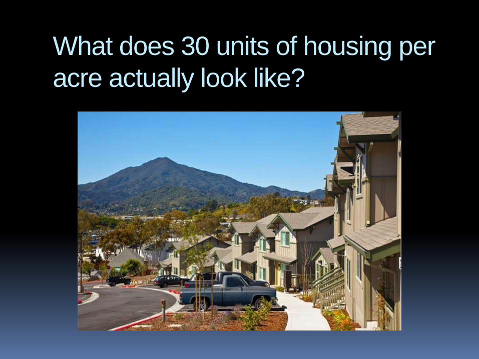
What does 30 units of housing per
acre actually look like?
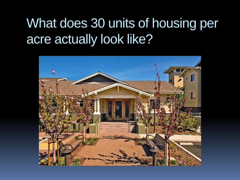
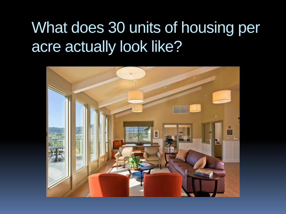
What does 30 units of housing per
acre actually look like?
What does 30 units of housing per
acre actually look like?
What does 30 units of housing per
acre actually look like?
What does 30 units of housing per
acre actually look like?
What does 30 units of housing per
acre actually look like?
What does 30 units of housing per
acre actually look like?