Utilization of Android
Tablets for Data Entry in the
Field
Joseph Roth Jr., MPH
Career Epidemiology Field Officer
Assigned to the Tennessee Department of Health
Outline
• Background
• Data collection in the field
• Other Android Uses

BACKGROUND
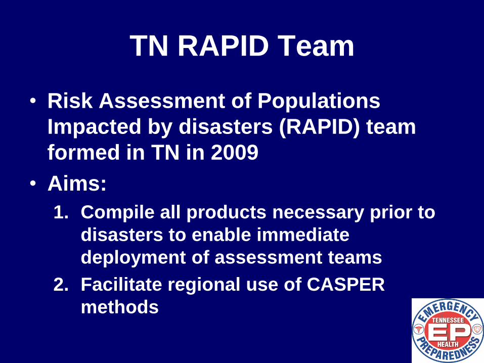
TN RAPID Team
• Risk Assessment of Populations
Impacted by disasters (RAPID) team
formed in TN in 2009
• Aims:
1. Compile all products necessary prior to
disasters to enable immediate
deployment of assessment teams
2. Facilitate regional use of CASPER
methods
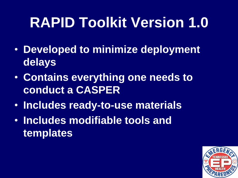
RAPID Toolkit Version 1.0
• Developed to minimize deployment
delays
• Contains everything one needs to
conduct a CASPER
• Includes ready-to-use materials
• Includes modifiable tools and
templates
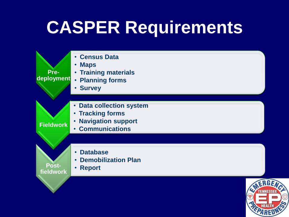
CASPER Requirements
Pre-deployment
• Census Data
• Maps
• Training materials
• Planning forms
• Survey
Fieldwork
• Data collection system
• Tracking forms
• Navigation support
• Communications
Post-fieldwork
• Database
• Demobilization Plan
• Report
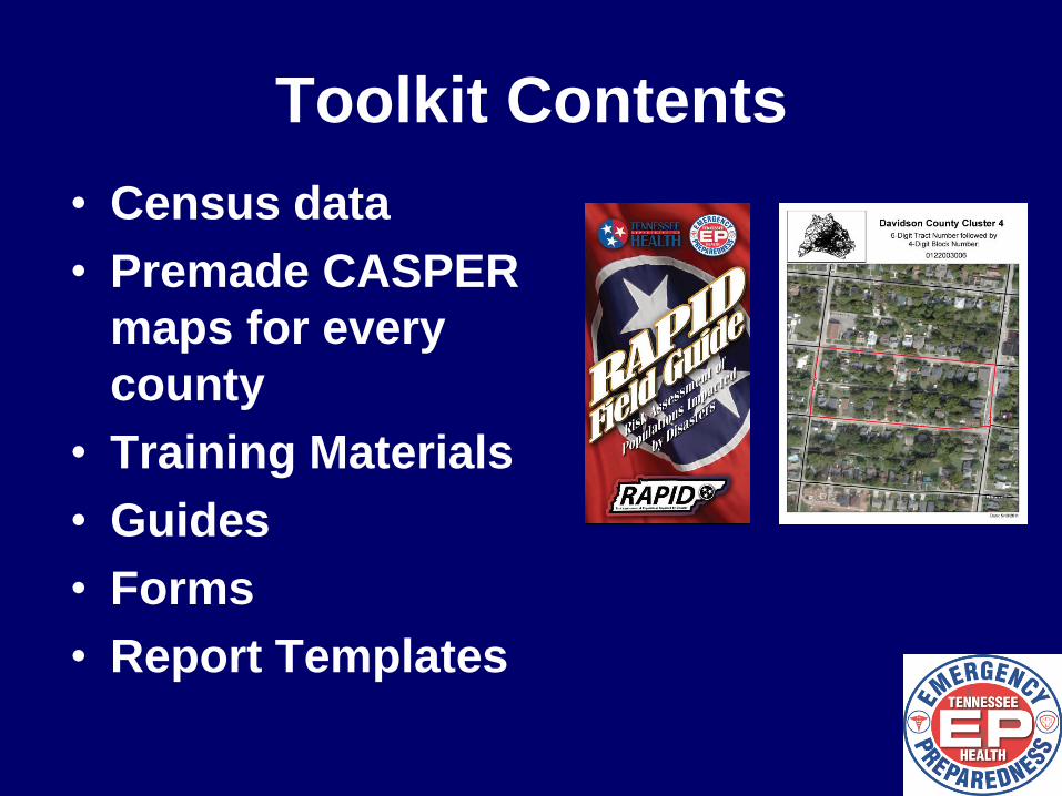
Toolkit Contents
• Census data
• Premade CASPER
maps for every
county
• Training Materials
• Guides
• Forms
• Report Templates
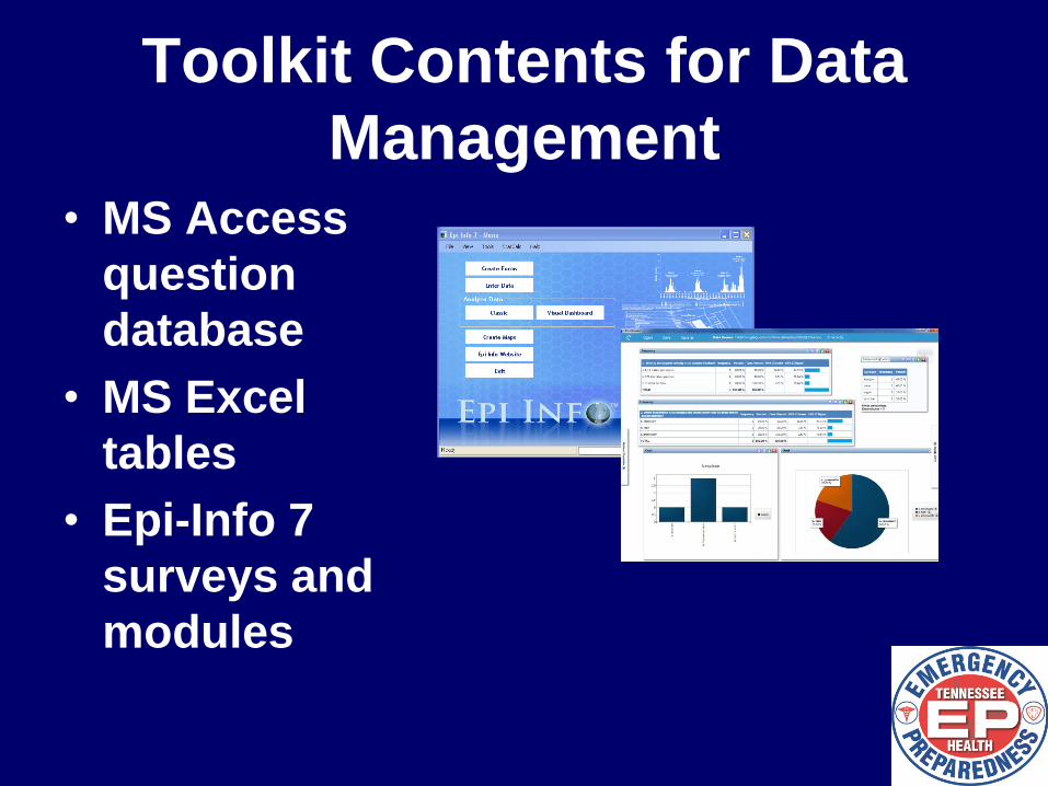
Toolkit Contents for Data
Management • MS Access
question
database
• MS Excel
tables
• Epi-Info 7
surveys and
modules
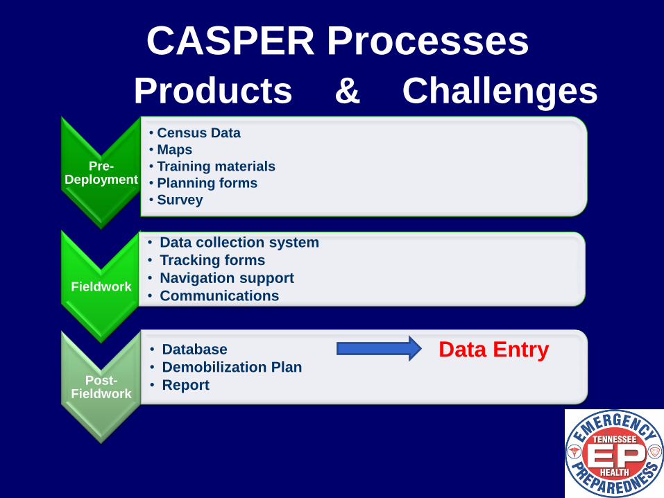
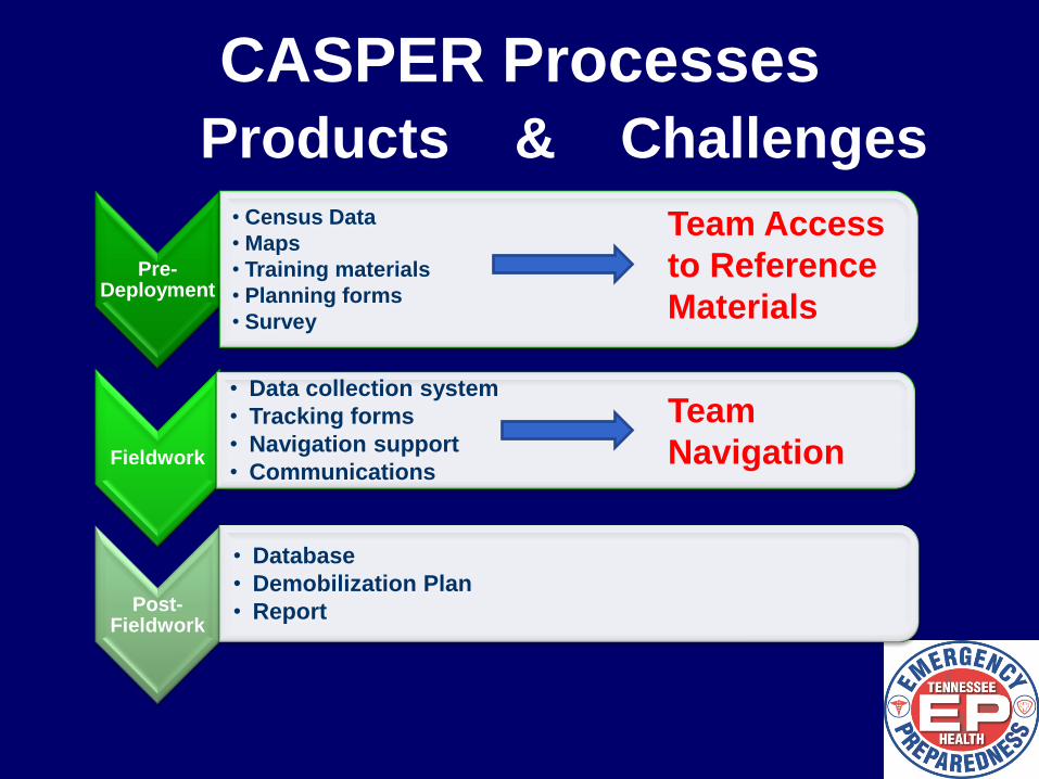
CASPER Processes
Products & Challenges
Pre-Deployment
• Census Data
• Maps
• Training materials
• Planning forms
• Survey
Fieldwork
• Data collection system
• Tracking forms
• Navigation support
• Communications
Post-Fieldwork
• Database
• Demobilization Plan
• Report
Data Entry
DATA COLLECTION IN THE
FIELD
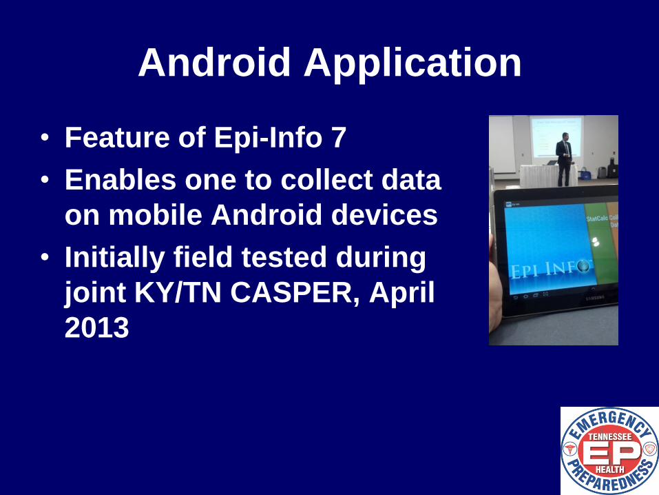
Android Application
• Feature of Epi-Info 7
• Enables one to collect data
on mobile Android devices
• Initially field tested during
joint KY/TN CASPER, April
2013
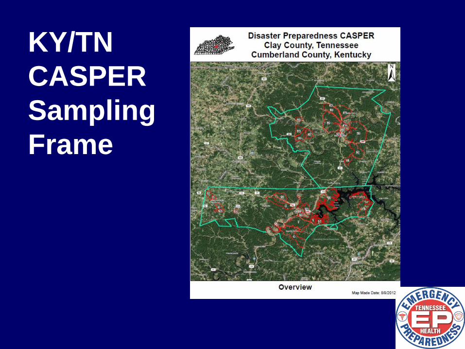
KY/TN
CASPER
Sampling
Frame
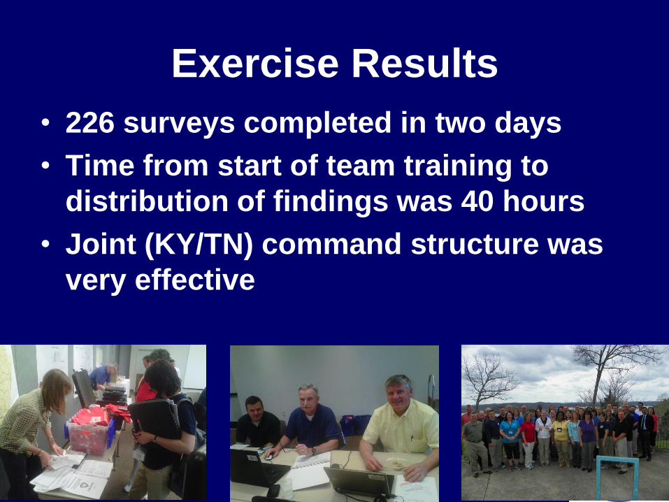
Exercise Results
• 226 surveys completed in two days
• Time from start of team training to
distribution of findings was 40 hours
• Joint (KY/TN) command structure was
very effective
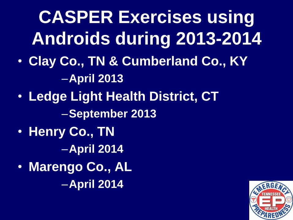
CASPER Exercises using
Androids during 2013-2014 • Clay Co., TN & Cumberland Co., KY
–April 2013
• Ledge Light Health District, CT
–September 2013
• Henry Co., TN
–April 2014
• Marengo Co., AL
–April 2014
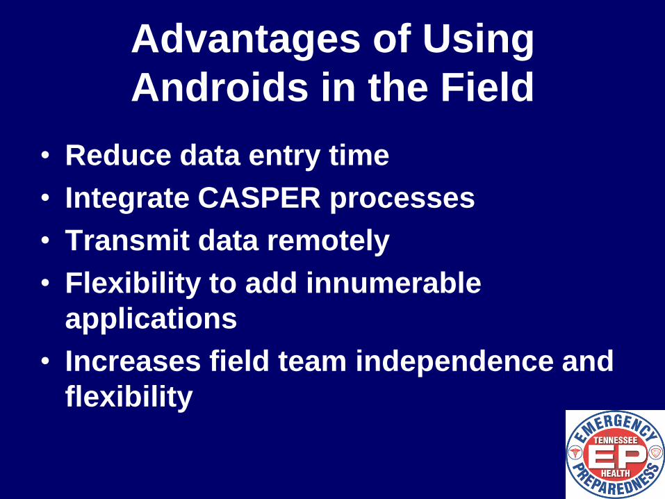
Advantages of Using
Androids in the Field
• Reduce data entry time
• Integrate CASPER processes
• Transmit data remotely
• Flexibility to add innumerable
applications
• Increases field team independence and
flexibility
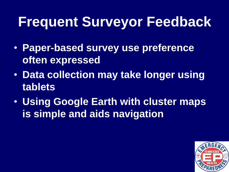
Frequent Surveyor Feedback
• Paper-based survey use preference
often expressed
• Data collection may take longer using
tablets
• Using Google Earth with cluster maps
is simple and aids navigation
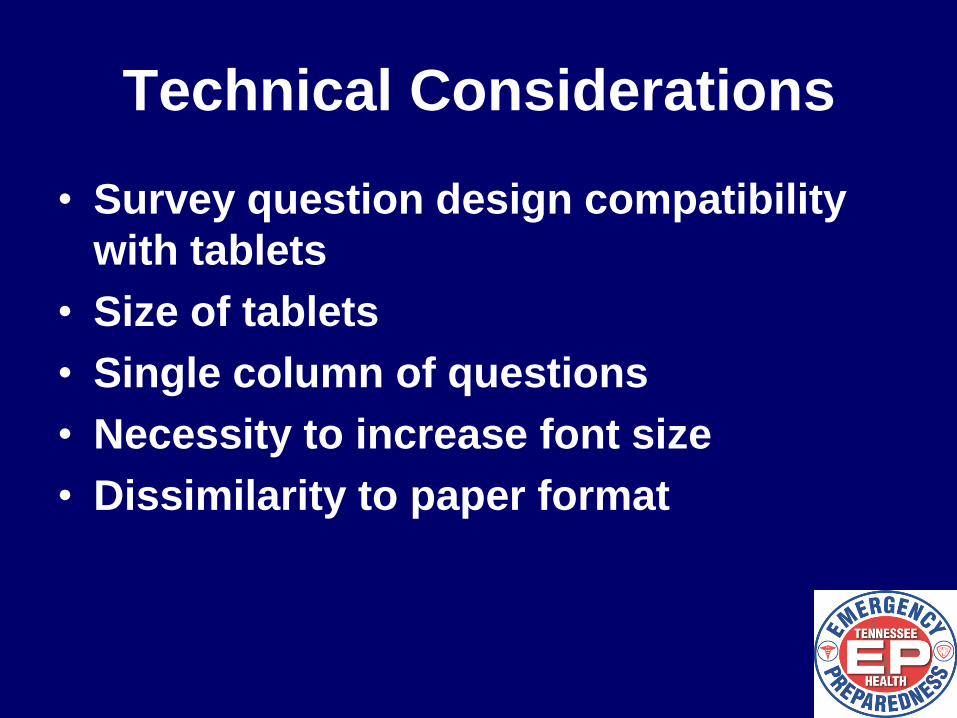
Technical Considerations
• Survey question design compatibility
with tablets
• Size of tablets
• Single column of questions
• Necessity to increase font size
• Dissimilarity to paper format
OTHER ANDROID USES
Pre-Deployment
• Census Data
• Maps
• Training materials
• Planning forms
• Survey
Fieldwork
• Data collection system
• Tracking forms
• Navigation support
• Communications
Post-Fieldwork
• Database
• Demobilization Plan
• Report
Team
Navigation
CASPER Processes
Products & Challenges
Team Access
to Reference
Materials
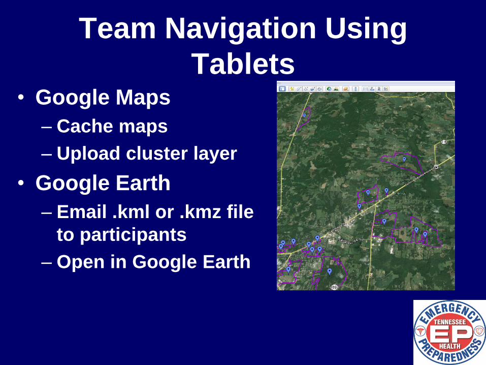
Team Navigation Using
Tablets • Google Maps
– Cache maps
– Upload cluster layer
• Google Earth
– Email .kml or .kmz file
to participants
– Open in Google Earth
Recommendations
• Use tablets to house all CASPER
resources and reference materials
• Consider redundant collection systems
• Integrate mapping/navigation functions
into tablet
• Consider data plans for tablets
• Explore multiple uses for tablets (team
communications, check-in, etc.)
Recommended