OHIO HISTORIC INVENTORYJU! • y7% Ohio Historic Preservation Office
Ohio Historical Center Columbus, Ohio 43211
1. No.
2. CountySummit3. Location of Negatives OHS
4. Present Name(s)
Lock No. 35
5. Other Name<8)
6. Specific Location
on private road approx. 1.3 miles south of Pine Hill Driv7. City or Town _ ,li Rural, Township & VicinitySagamore Hills8. Site Plan with North Arrow
9. Coordinates
Lat. Long
U.T.M. Reference
2?!0 80Zone Easting Northing10. Site
BuildingStructure O
Object D
11. On National Register?
Yes D No 3t
13. Part of Estab. Yes [ Hist. Dist.? No 95
12 Is It Eligible?
Yes XNo D
14, District Yes Potent'l? No
15. Name of Established District
16. Thematic CategoryF H T , n, i17. DateKs) or Period
1825-182?18. Style or Design
19. Architect or Engineer
20. Contractor or Builder
21. Original Use, If apparentcanal lock22. Present Use
23. Ownership PublicXC Private D
24. Owner's Name & Address, _ . if .known- _ T% j.State of 0. , Dept.
Works£< S J "P-ront. St.25. Open to
of Public
Public? unrestrictedYes DD No D
26. Local Contact Person or Organization Summit County Hist. Soc.
27. Other Surveys in Which Includedhistoric civil engineering
landmark, Ohio Council ASCE
ADDrox. Acreage* less than 1
28. No. of Stories
29. Basement? Yes D No D
30. Foundation Material
31. Wall Constructionload-bearing masonr;32. Roof Type & Material
33. No. of Bays Front Side
34. Wall Treatmentcut stone/concrete35. Plan Shape recxange
36. Changes (Explain in #42)
Addition DAltered KMoved D
37. Conditionfair
XKKKtt
38. Preservation Underway?
Yes CNo OS
39. Endangered? By What?
Yes G No E
40. Visible from Public Road?
Yes C No K
41. Distance from and Frontage on Road
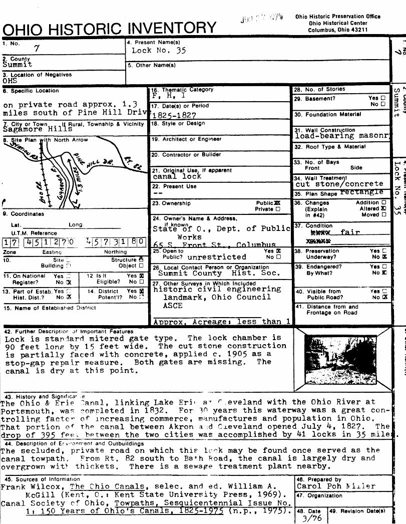
42. Further Description of Important FeaturesLock is star) lard mitered gate type. The lock chamber is 90 feet lon^ by 15 feet wide. The cut stone construction is partially faced with concrete, applied c. 19^5 as a stop-gap repair measure. Both gates are missing. The canal is dry at this point.
43. History and Sigmfica' .eThe Ohio & Erie ^anal, linking Lake Eri*- a r r ,eveland with the Ohio River at Portsmouth, was completed in 1832. For 10 years this waterway was a great con trolling factc*~ of increasing commerce, manufactures and population in Ohio. That portion o*" the canal between Akron a <.d Cleveland opened July 4, 182?. The drop of 395 feet between the two cities was accomplished by M locks in 35 mile
44. Description of Er vonment and OutbuildingsThe secluded, private road on which this look may be found once served as the canal towpath. From Rt. 82 south to Ba+h Road, the canal is largely dry and overgrown witv thickets. There is a sewage treatment plant nearby.
45. Sources of InformationFrank Wilcox, The Chip Canals, selec. and ed. William A.
McGill (Kent, O.i Kent State University Press, 1969). Canal Society cf Ohio, Towpaths, Sesquicentennial Issue No.
li 150 Years of Ohio's Canals. l82S-l$?S (n.p. 1975J.
46. Prepared byCarol Poh Nixler47. Organization
48. Date3/76
49. Revision Date(s>
Recommended