Embed Size (px)
Citation preview
3/13/2016 2
What is ILWIS?
• ILWIS is a geographic information system
with image processing capabilities.
• Therefore, ILWIS allows you to manage,
analyze and present geographical data.
• ILWIS manages both vector and raster data.
3/13/2016 3
ILWIS Objects
• Data objects
• Service objects
• Special objects
• Container objects
3/13/2016 4
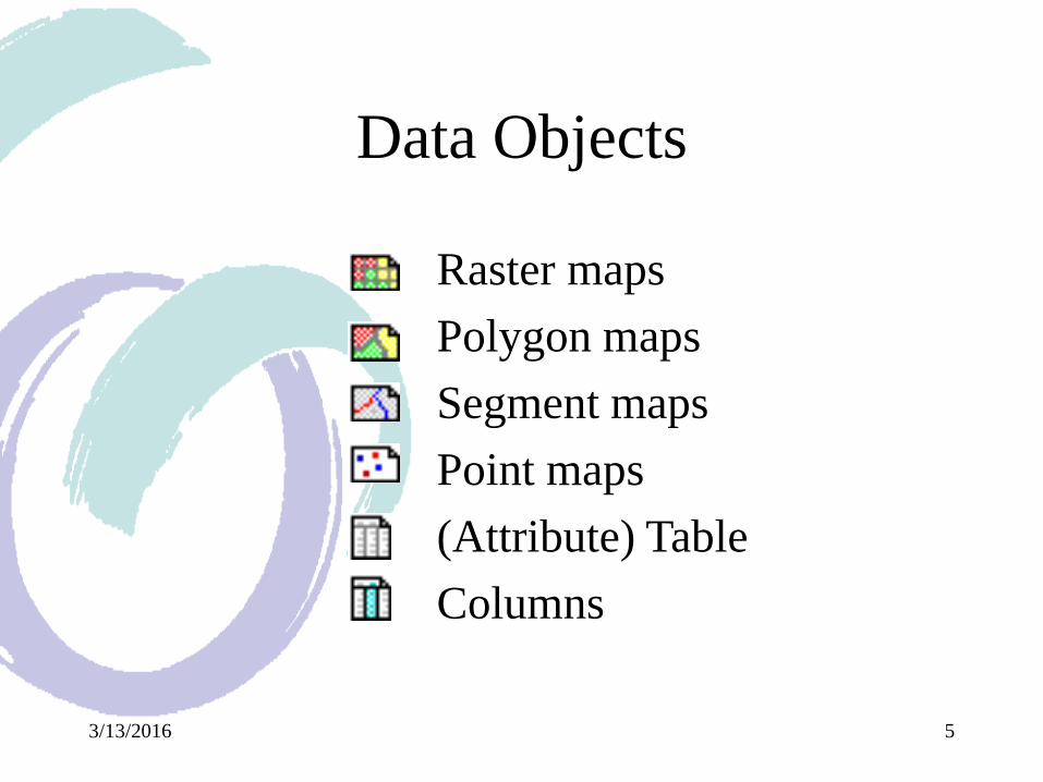
Data Objects
Data objects are maps, tables and columns;
that is the GIS materials to work with. Data
objects can be created, edited, displayed, etc.,
and, most important, operations can be
performed on them. By default, all your data
objects (except columns) in the current
directory are listed in the Catalog by a name
and an icon.
3/13/2016 5
Data Objects
Raster maps
Polygon maps
Segment maps
Point maps
(Attribute) Table
Columns
3/13/2016 6
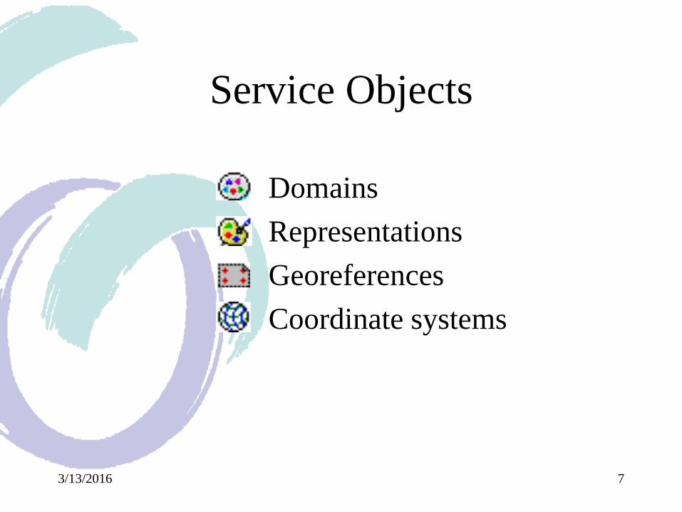
Service Objects
Service objects are used by data objects;
They contain accessories required by data
objects besides the data itself. Service
objects define, for example, the set of
possible values of the data (domain), the
colors assigned to the data, and, coordinate
information for the data object.
3/13/2016 7
Service Objects
Domains
Representations
Georeferences
Coordinate systems
3/13/2016 8
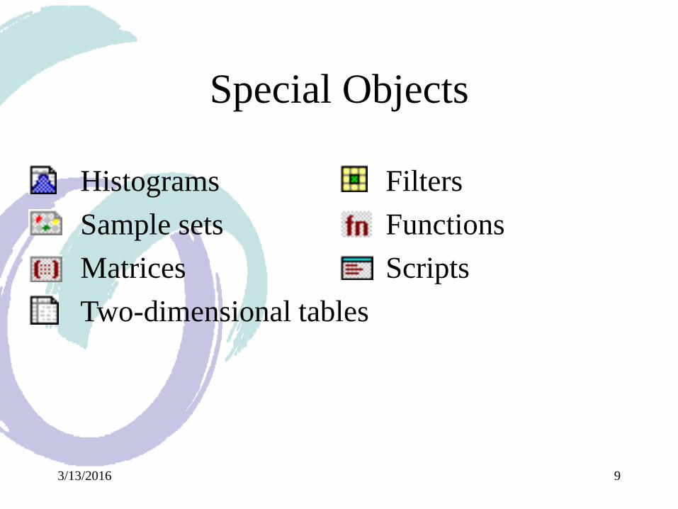
Special Objects
Special objects are objects with special
functions within ILWIS. They can be used
to display data, calculate with data, or make
it easier to work with data.
3/13/2016 9
Special Objects
Histograms
Sample sets
Matrices
Two-dimensional tables
Filters
Functions
Scripts
3/13/2016 10
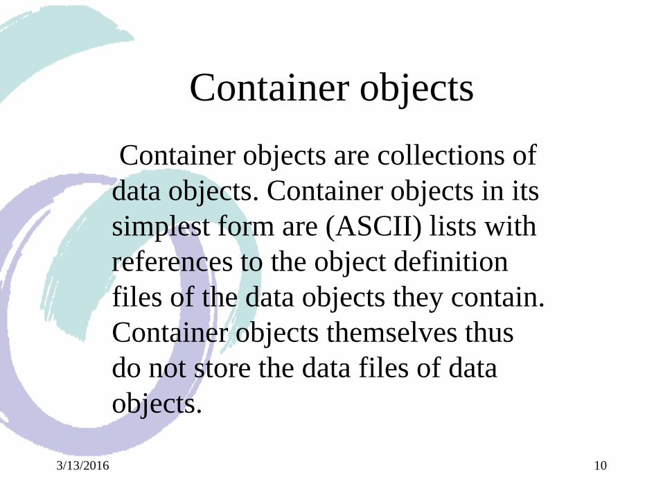
Container objects
Container objects are collections of
data objects. Container objects in its
simplest form are (ASCII) lists with
references to the object definition
files of the data objects they contain.
Container objects themselves thus
do not store the data files of data
objects.
3/13/2016 11
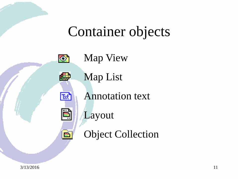
Container objects
Map View
Map List
Annotation text
Layout
Object Collection
3/13/2016 12
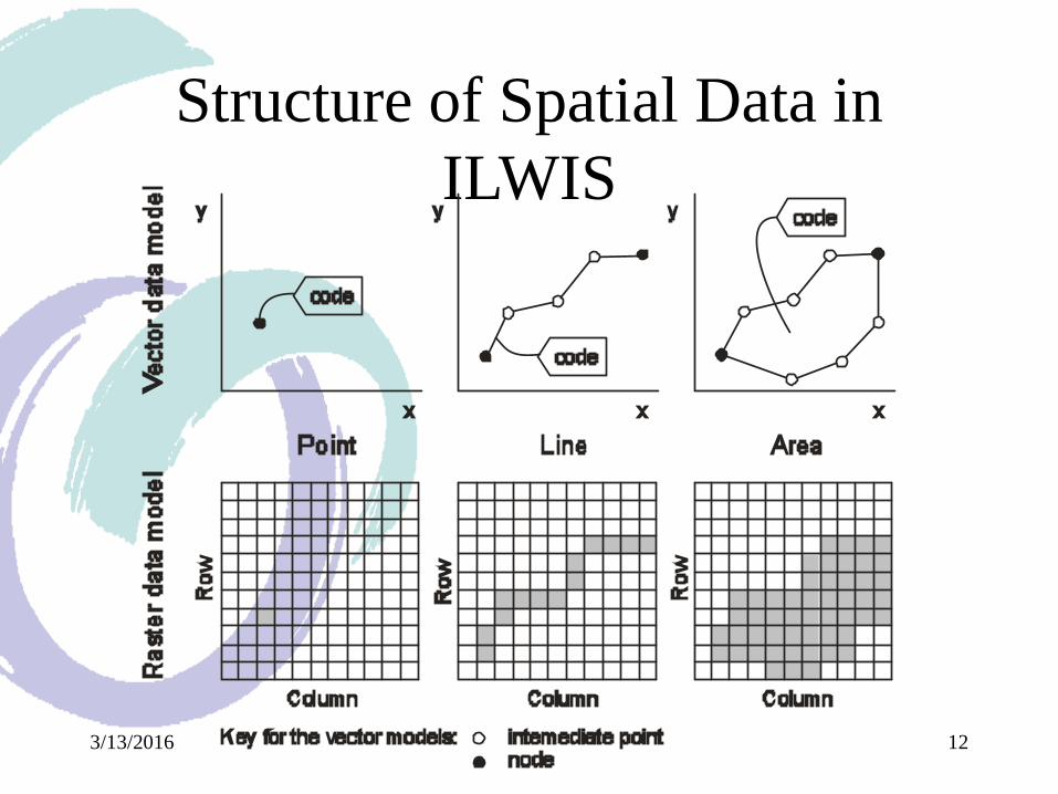
Structure of Spatial Data in
ILWIS
3/13/2016 13
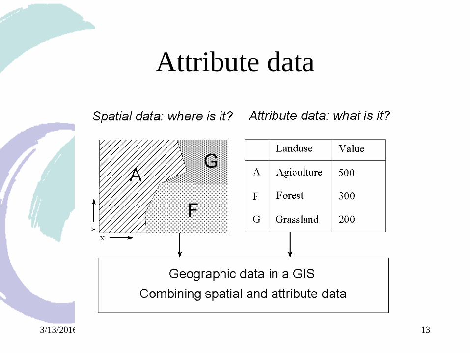
Attribute data
3/13/2016 14
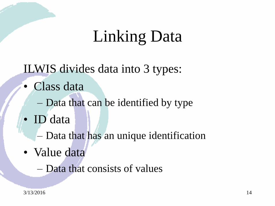
Linking Data
ILWIS divides data into 3 types:
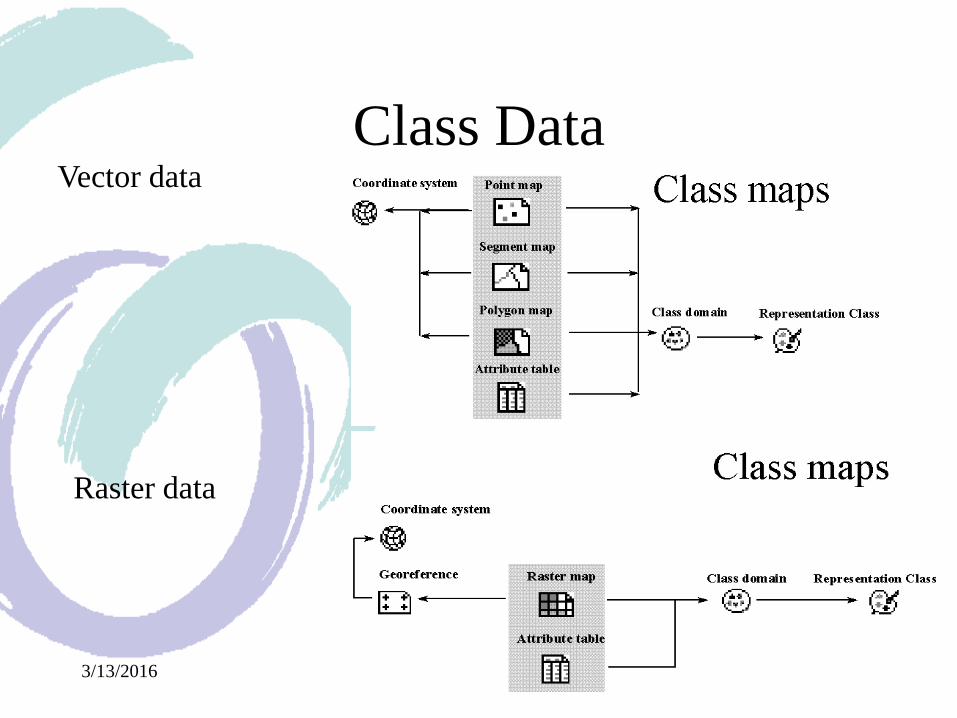
• Class data
– Data that can be identified by type
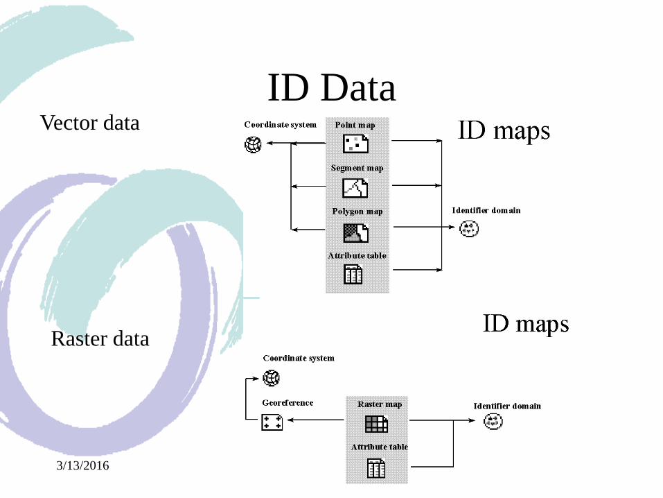
• ID data
– Data that has an unique identification
• Value data
– Data that consists of values
3/13/2016 15
Class DataVector data
Raster data
3/13/2016 16
ID DataVector data
Raster data
3/13/2016 17
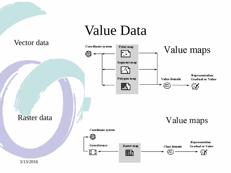
Value DataVector data
Raster data
3/13/2016 18
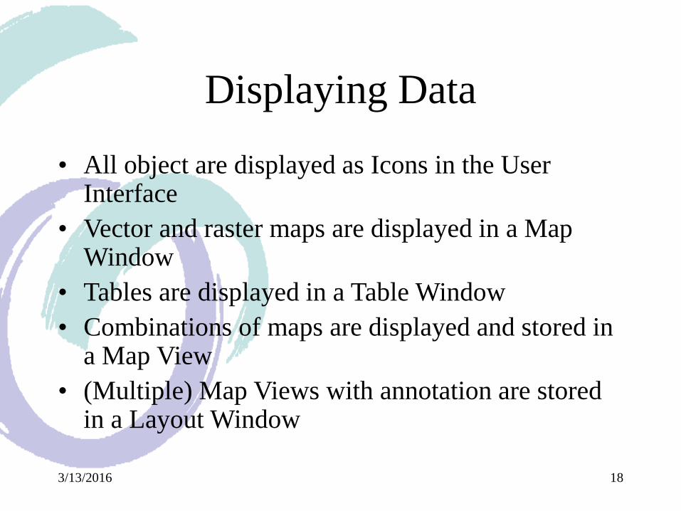
Displaying Data
• All object are displayed as Icons in the User Interface
• Vector and raster maps are displayed in a Map Window
• Tables are displayed in a Table Window
• Combinations of maps are displayed and stored in a Map View
• (Multiple) Map Views with annotation are stored in a Layout Window

3/13/2016 19
Starting ILWIS
Control menu icon Title barMenu bar
Standard toolbar Object selection toolbar
Command line
Minimize button
Maximize button
Close button
Operations/Navigator pane Status bar Scroll bar Catalog
3/13/2016 20
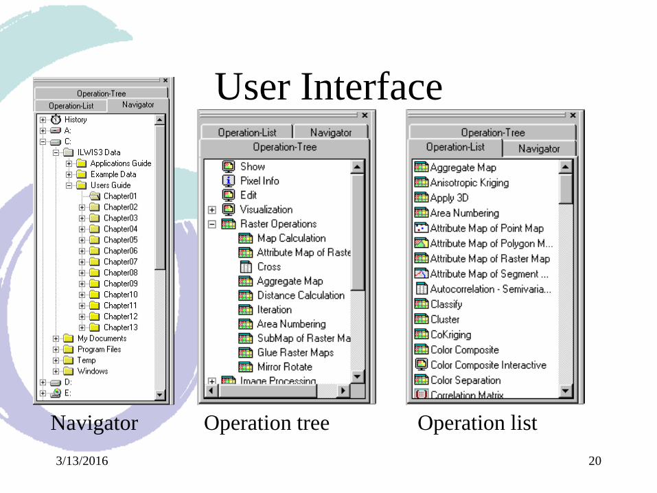
User Interface
Navigator Operation tree Operation list
3/13/2016 21
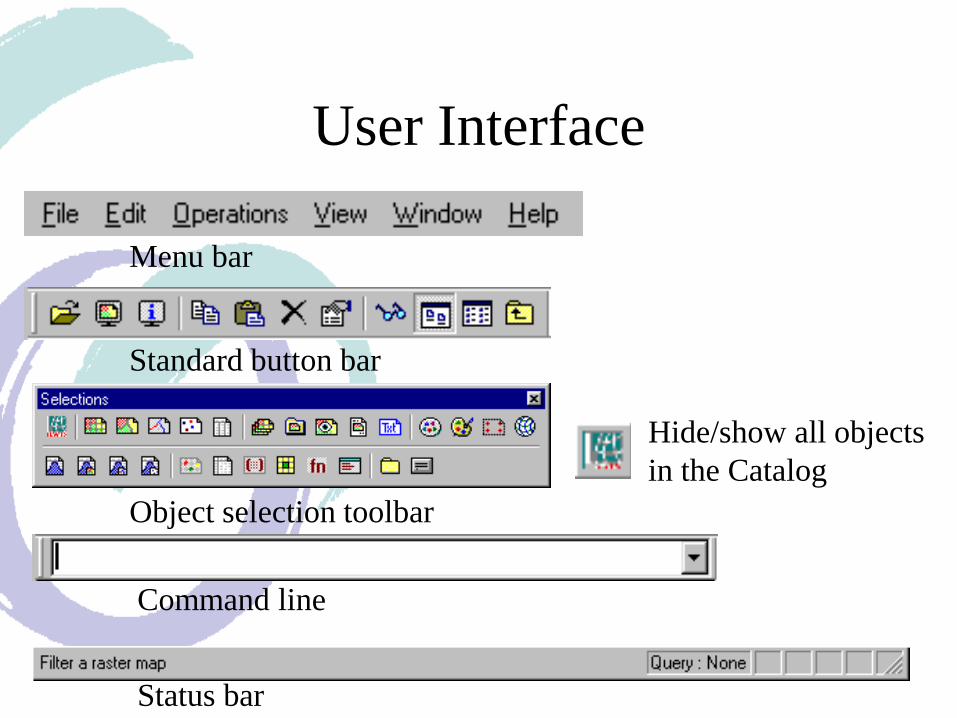
User Interface
Menu bar
Status bar
Standard button bar
Object selection toolbar
Hide/show all objects
in the Catalog
Command line
3/13/2016 22
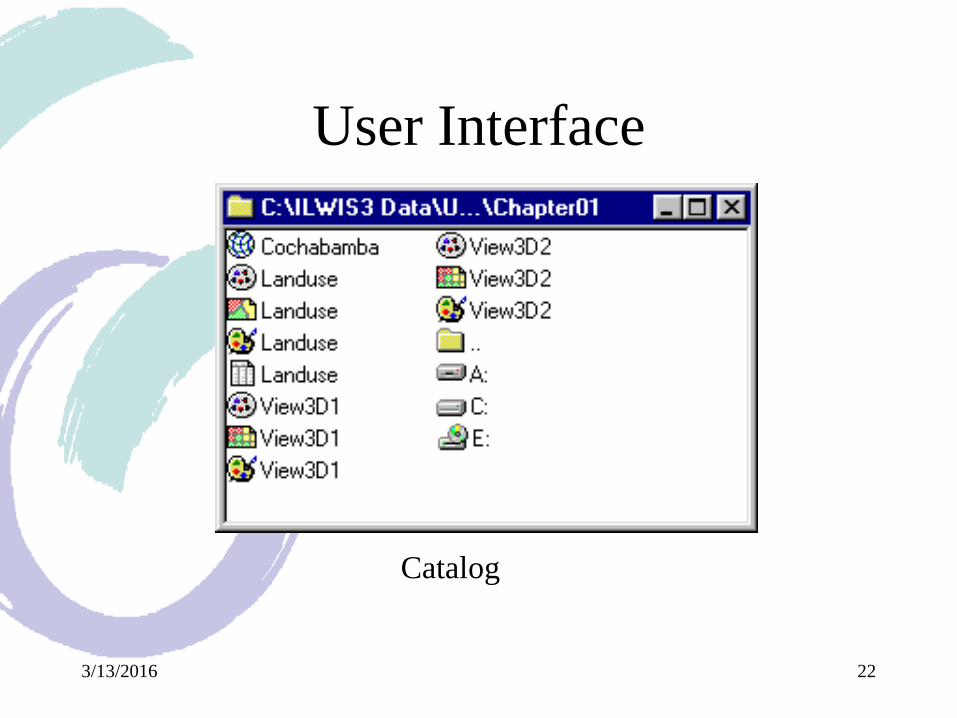
User Interface
Catalog
3/13/2016 23
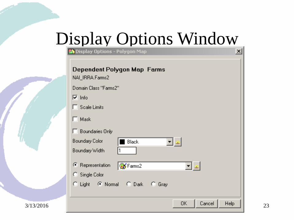
Display Options Window
3/13/2016 24
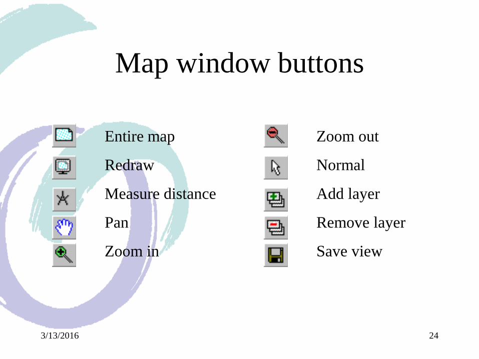
Map window buttons
Entire map
Redraw
Measure distance
Pan
Zoom in
Zoom out
Normal
Add layer
Remove layer
Save view
3/13/2016 25
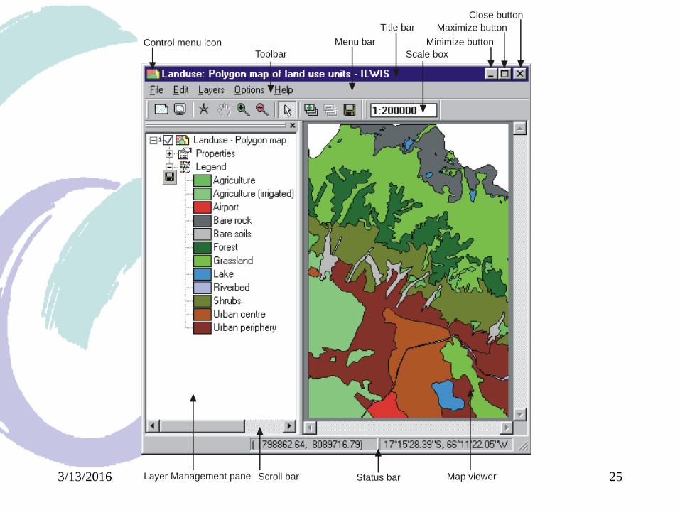
Map Window
Control menu icon Menu bar
Toolbar
Title bar
Scale box
Minimize button
Maximize button
Close button
Layer Management pane Status barScroll bar Map viewer
3/13/2016 26
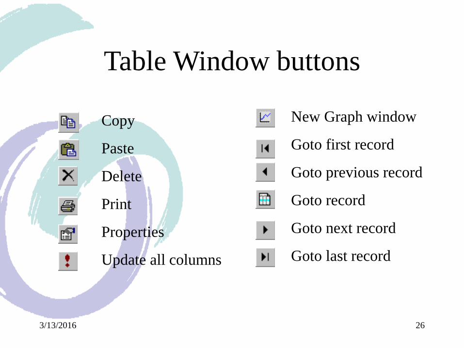
Table Window buttons
Copy
Paste
Delete
Properties
Update all columns
New Graph window
Goto first record
Goto previous record
Goto record
Goto next record
Goto last record
3/13/2016 27
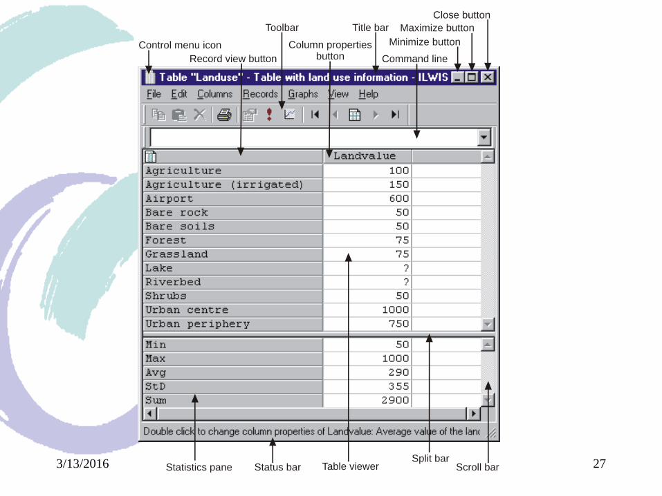
Table window
Control menu icon
Title bar
Record view button
Toolbar
Command line
Minimize button
Maximize button
Close button
Statistics pane Scroll barTable viewerStatus barSplit bar
Column properties button
3/13/2016 28
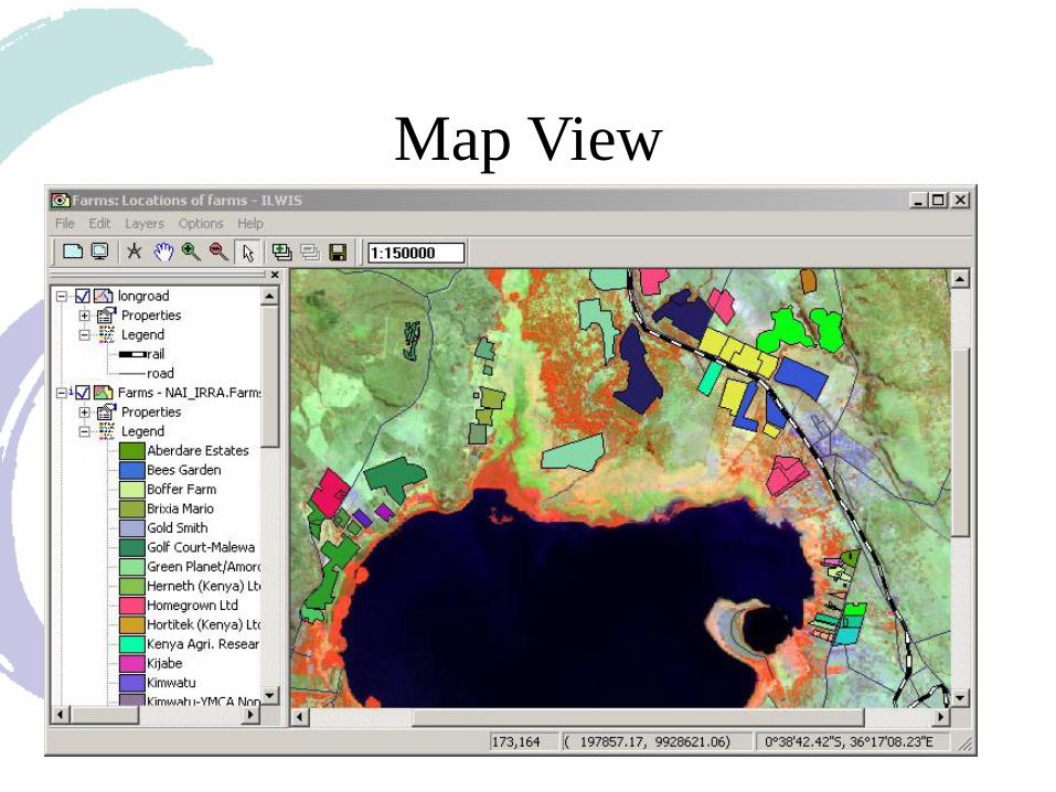
Map View
3/13/2016 29
Data input
• Importing data
– Vector (ILWIS or GeoGateway import)
– Raster (ILWIS or GeoGateway import)
– Table
• Digitizing (tablet or on-screen)
• Enter data in ILWIS
3/13/2016 30
Data output
• Hardcopy (Layout Window)
• Export
– Layout as .BMP
– Different widely used packages
3/13/2016 31
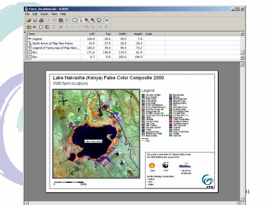
Layout Window
3/13/2016 32
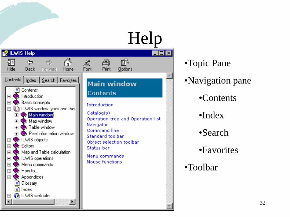
HelpHelp
•Topic Pane
•Navigation pane
•Contents
•Index
•Search
•Favorites
•Toolbar
3/13/2016 33
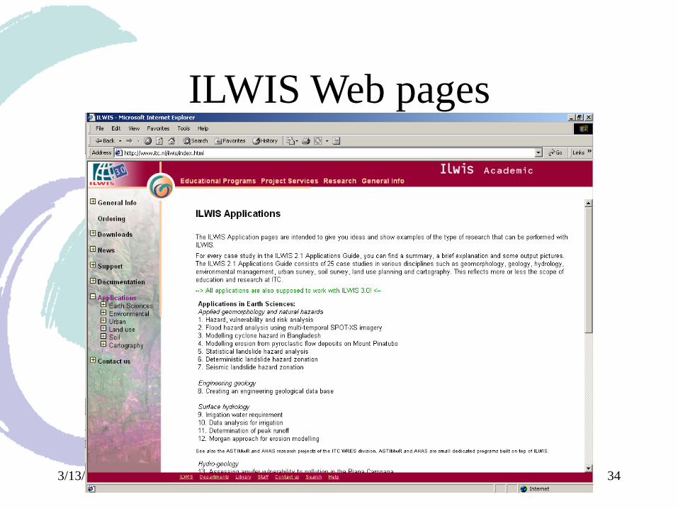
Available Documentation
• ILWIS User’s Guide
• ILWIS Applications Web pages
– www.itc.nl/ilwis
3/13/2016 34
ILWIS Web pages
3/13/2016 35
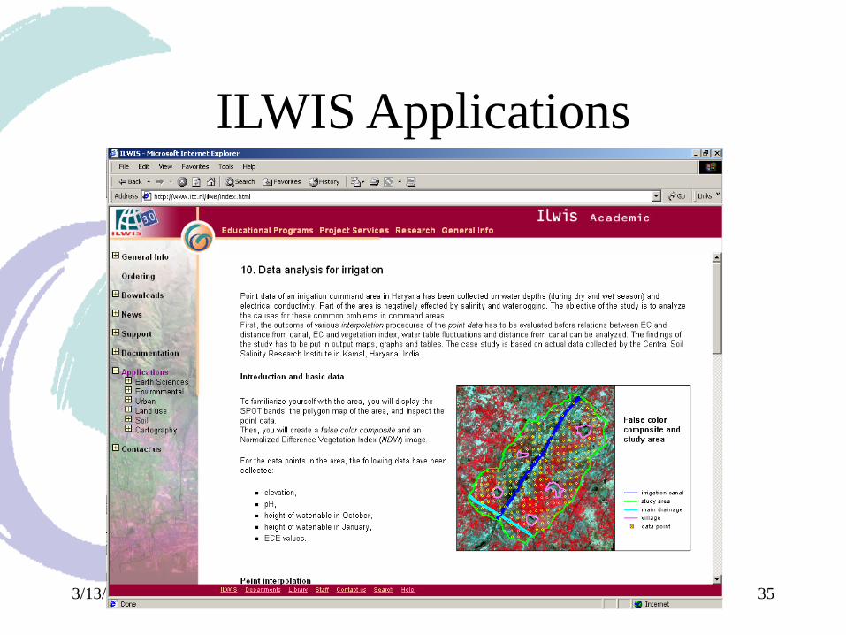
ILWIS Applications