Embed Size (px)
Citation preview
WebGIS and Mobile Data
Collection Workshop
September 18th, 2015
Sean Hogan, [email protected]
Shane T. Feirer, [email protected]
& Robert Johnson, [email protected]

• Introductions
• Informatics and GIS
• GPS and Mobile Data Collection
• Web Mapping
• Practical Exercise
AgendaToday
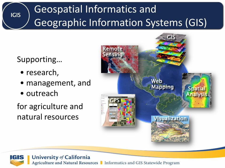
Supporting…
• research, • management, and• outreach
for agriculture and natural resources
Geospatial Informatics andGeographic Information Systems (GIS)
IGIS
Remote Sensing
GIS
Spatial Analysis
Visualization
GPS
WebMapping

Geospatial Informatics andGeographic Information Systems (GIS)
IGIS
IGIS
Web GIS
InfoBase
Training
GIS
Service
Center
Supporting…
• research, • management, and• outreach
for agriculture and natural resources

Training – Fall 2015IGIS
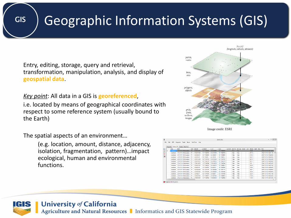
Entry, editing, storage, query and retrieval, transformation, manipulation, analysis, and display of geospatial data.
Key point: All data in a GIS is georeferenced,
i.e. located by means of geographical coordinates with respect to some reference system (usually bound to the Earth)
The spatial aspects of an environment…
(e.g. location, amount, distance, adjacency, isolation, fragmentation, pattern)…impact ecological, human and environmental functions.
Image credit: ESRI
Geographic Information Systems (GIS)GIS
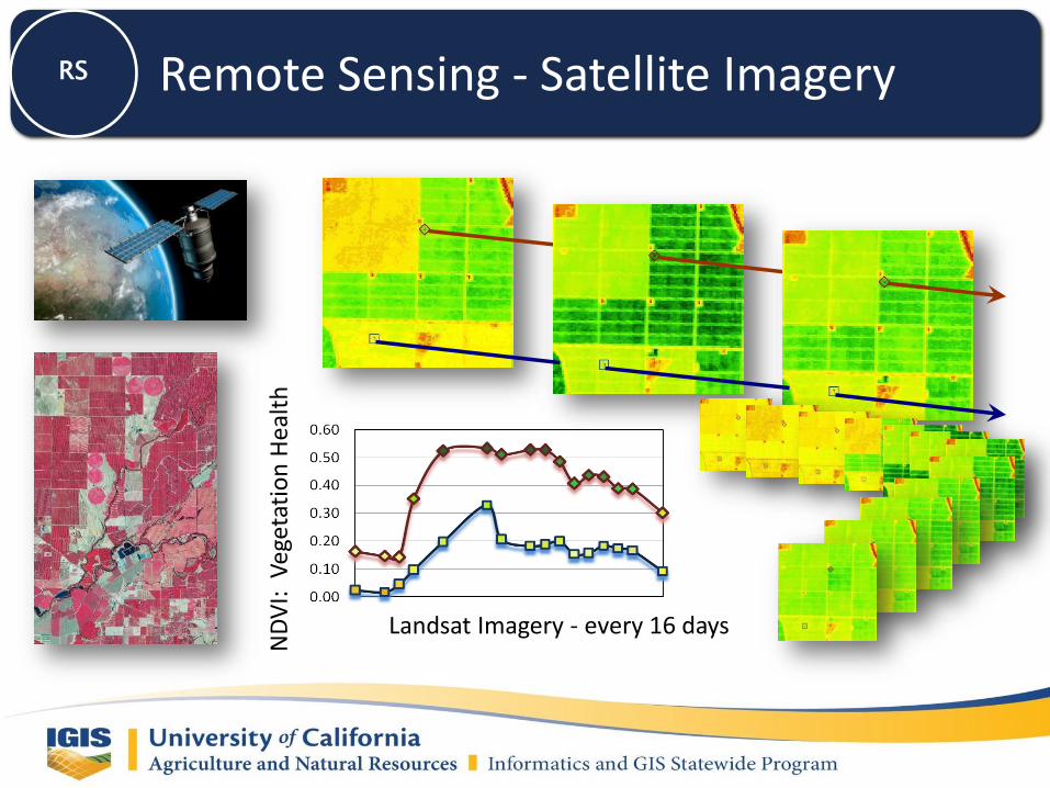
Landsat Imagery - every 16 days
ND
VI:
Veg
etat
ion
Hea
lth
Remote Sensing - Satellite ImageryRS
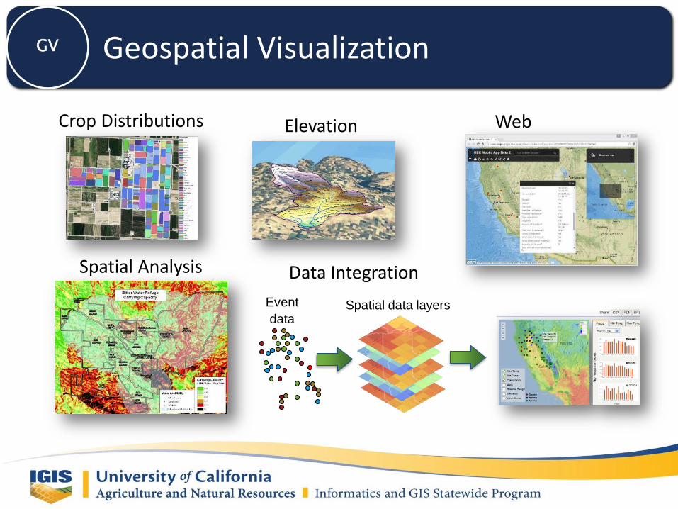
Crop Distributions
Spatial Analysis
Elevation Web Mapping
Event
dataSpatial data layers
Data Integration
Geospatial VisualizationGV

What is GPS? Global Positioning System
24 -32 active satellites make up civilian GPS(currently 31 active satellites*)
At least 6 satellites are visible from any spot on Earth
6 orbit planes, each with 4 operational satellites ineach
Orbiting 12,500 miles above earth at ~ 7,000 mph (medium Earth orbit)
2 complete orbits in less than 24 hours
4 or more GPS satellites used tocompute X, Y, and Z
* As of March, 2008 – Source, NANU News http://cgls.uscg.mil/pipermail/gps/2008-March/001625.html
GPS
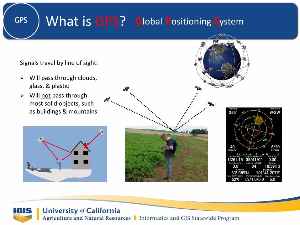
What is GPS? Global Positioning SystemGPS
Signals travel by line of sight:
Will pass through clouds, glass, & plastic
Will not pass through most solid objects, such as buildings & mountains
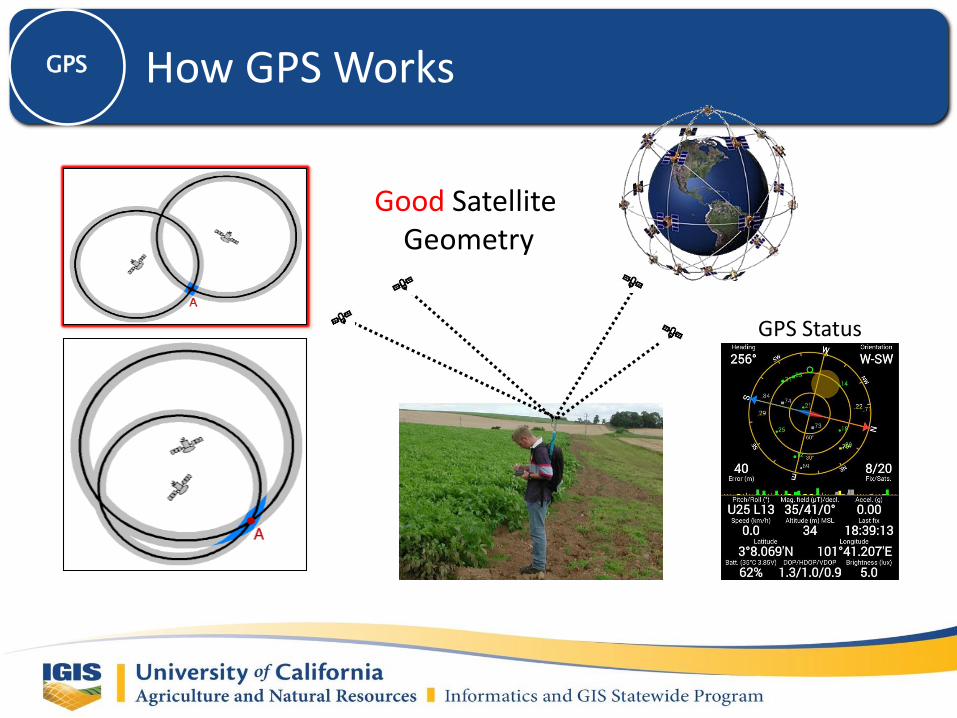
How GPS WorksGPS
Good Satellite Geometry
GPS Status
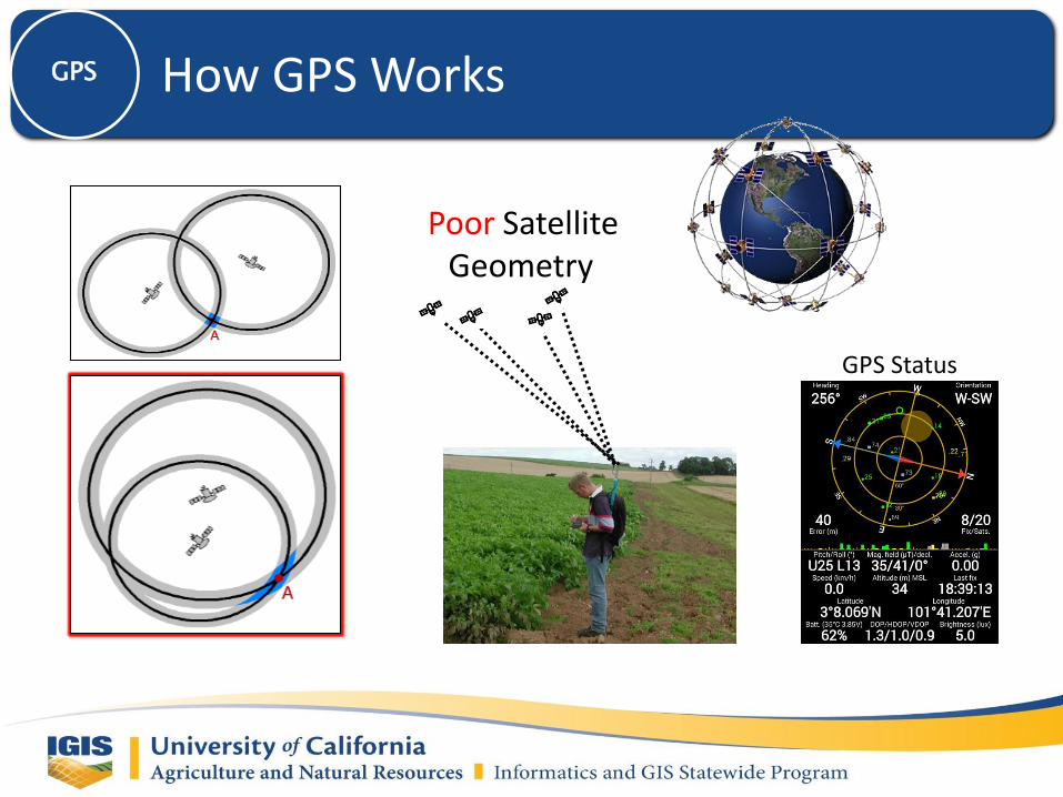
How GPS WorksGPS
Poor Satellite Geometry
GPS Status
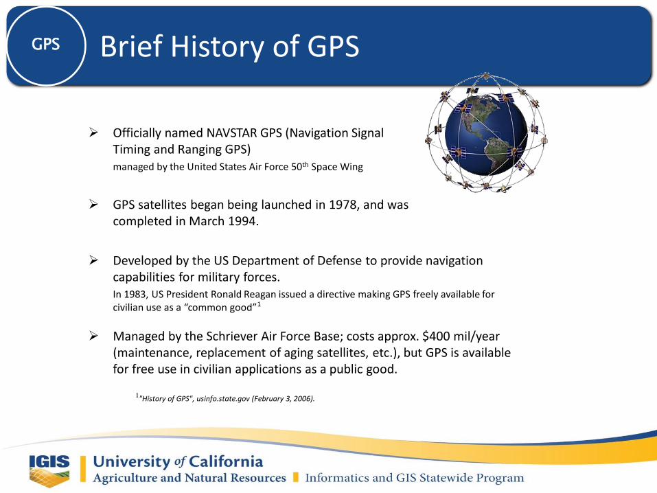
Officially named NAVSTAR GPS (Navigation Signal Timing and Ranging GPS)managed by the United States Air Force 50th Space Wing
GPS satellites began being launched in 1978, and was completed in March 1994.
Developed by the US Department of Defense to provide navigation capabilities for military forces.In 1983, US President Ronald Reagan issued a directive making GPS freely available for civilian use as a “common good”1
Managed by the Schriever Air Force Base; costs approx. $400 mil/year (maintenance, replacement of aging satellites, etc.), but GPS is available for free use in civilian applications as a public good.
1"History of GPS", usinfo.state.gov (February 3, 2006).
Brief History of GPSGPS

GRADE ACCURACY AVG. COST
Recreation 3-10 m $400
Mapping 1 m $5,000
Sub-meter $10,000
Survey 0.1 m $20,000
Recreational-grade Mapping-grade Survey-grade
Conventional GPS UnitsGPS
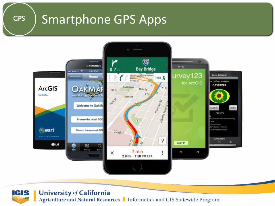
Smartphone GPS AppsGPS
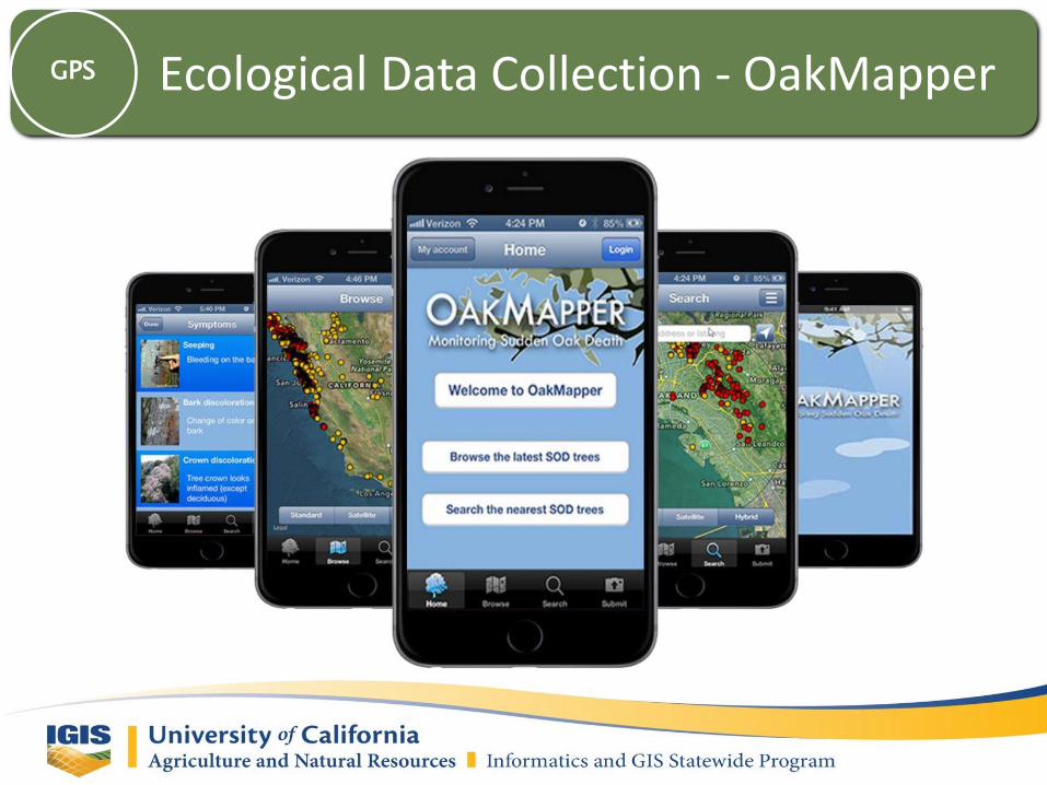
Ecological Data Collection - OakMapperGPS

Ecological Data Collection - CalfloraGPS
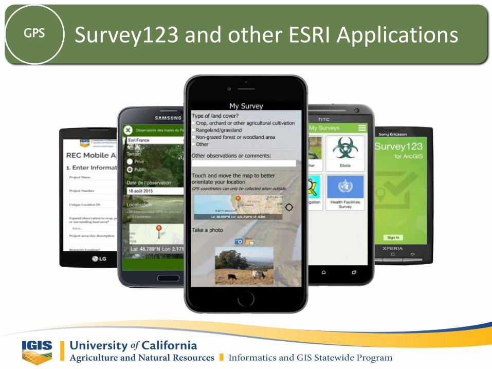
Survey123 and other ESRI ApplicationsGPS

Navigation AppsGPS

Open Source GPS Apps – OruxmapsGPS
• Free• No advertisements• Integrates with GPS Status app• Online maps can be saved, and can be used offline later• Build composite maps from online map sources, with different values of transparency• Add photos/videos/audios to the wpts• Support to external GPS bluetooth• Support to external heartrate monitors bluetooth• Support to ANT+ (cadence, speed, heart rate, steps, temperature)• Save and export your tracks and points in different format files (gpx, kml and kmz)• Import tracks (gpx, kml and kmz)

Open Source GPS Apps – MotionXGPS

• Accurately determine location (x,y,z) in [almost] any weather, day or night, anywhere on Earth.
• Surveying for research and natural resource management:
– Tracking subjects (animals, humans, vehicles, etc.)
– Mapping sample points / validation locations / training point location
– Returning to your study sites in areas that are difficult to navigate in
– Finding your way around (“wayfinding”)
GPS for agriculture and natural resources?
GPS
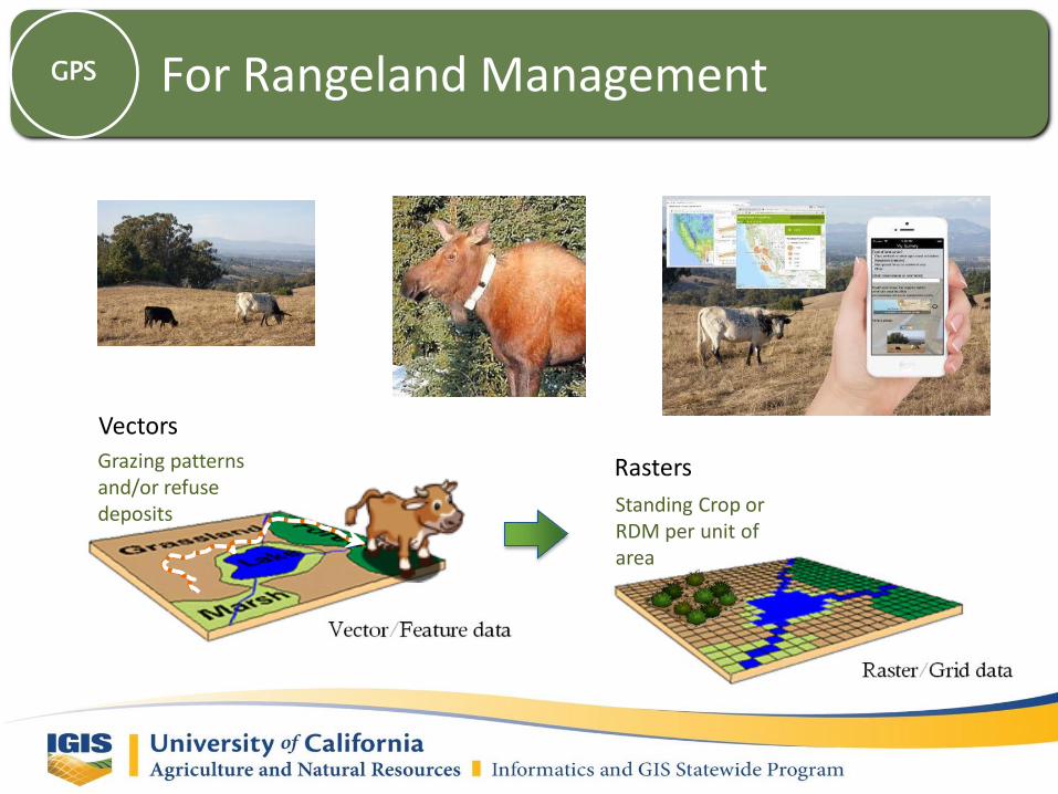
Vectors
Rasters
Standing Crop or RDM per unit of area
Grazing patterns and/or refuse deposits
For Rangeland ManagementGPS

For AgricultureGPS

WebGIS - Web MappingWebGIS
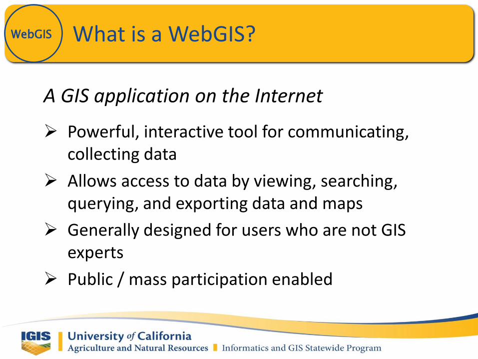
What is a WebGIS?WebGIS
A GIS application on the Internet
Powerful, interactive tool for communicating, collecting data
Allows access to data by viewing, searching, querying, and exporting data and maps
Generally designed for users who are not GIS experts
Public / mass participation enabled

What is an API?WebGIS
An Application Programming Interface is typically a set of computer functions, procedures, methods, classes or protocols made available for public use, usually by a third party. APIs are generally associated with “open source”, as they allow any user to customize an application (or at least use its features in a custom manner).
Examples:• iPhone API – customize mobile apps for Apple’s iPhone
• Google Maps API – build geospatial web apps
• Drupal API – open-source content management system
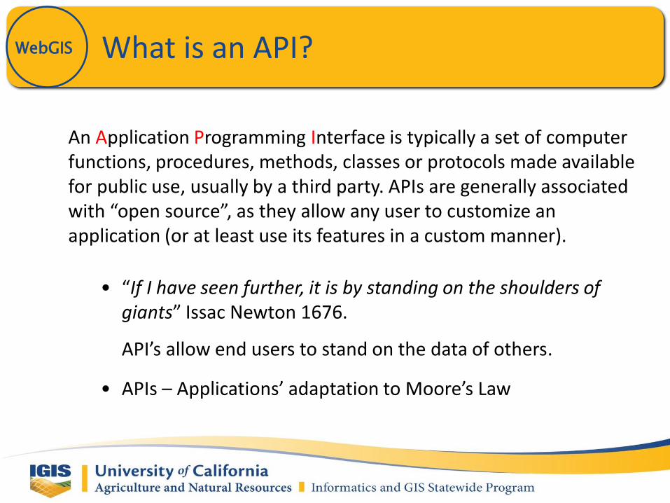
What is an API?WebGIS
An Application Programming Interface is typically a set of computer functions, procedures, methods, classes or protocols made available for public use, usually by a third party. APIs are generally associated with “open source”, as they allow any user to customize an application (or at least use its features in a custom manner).
• “If I have seen further, it is by standing on the shoulders of giants” Issac Newton 1676.
API’s allow end users to stand on the data of others.
• APIs – Applications’ adaptation to Moore’s Law

What is an API?WebGIS
An Application Programming Interface is typically a set of computer functions, procedures, methods, classes or protocols made available for public use, usually by a third party. APIs are generally associated with “open source”, as they allow any user to customize an application (or at least use its features in a custom manner).

WebGIS Development ApplicationsWebGIS
“Open Source” or Free
• Google Maps API• CartoDB• MapBox• OpenLayers• GeoServer• MapServer
Proprietary
• ArcGIS.com• Intergraph (CAD/CAM)– GeoMedia WebMap

Google Maps APIWebGIS

Which WebGIS should I use?WebGIS
It depends on…
– Your users, audience and stakeholders
– Tools and functionality required• Are you displaying data, or do you need to collect it as well?
• Do you require interactive features? GeoProcessing?
– Level of programming skill
– How much $$ you are willing to spend?

Alternatives to the Google Maps APIWebGIS
Google– Google Fusion Tables
http://www.google.com/fusiontables
ESRI– ESRI’s interactive mapping website.
http://arcgis.com
Open Source– CartoDB
http://cartodb.com/
– MapBoxhttp://mapbox.com/
– MapServer APIhttp://mapserver.org/
– Batchgeohttp://batchgeo.com/features/google-earth-kml/

CartoDBWebGIS

Google Fusion TablesWebGIS

ArcGIS OnlineWebGIS

• 120 datasets available
• Both UCANR and other publically available data
• Can be used in GIS software and on webmaps
IGIS - ArcGIS OnlineWebGIS

ArcGIS OnlineWebGIS

ArcGIS OnlineWebGIS
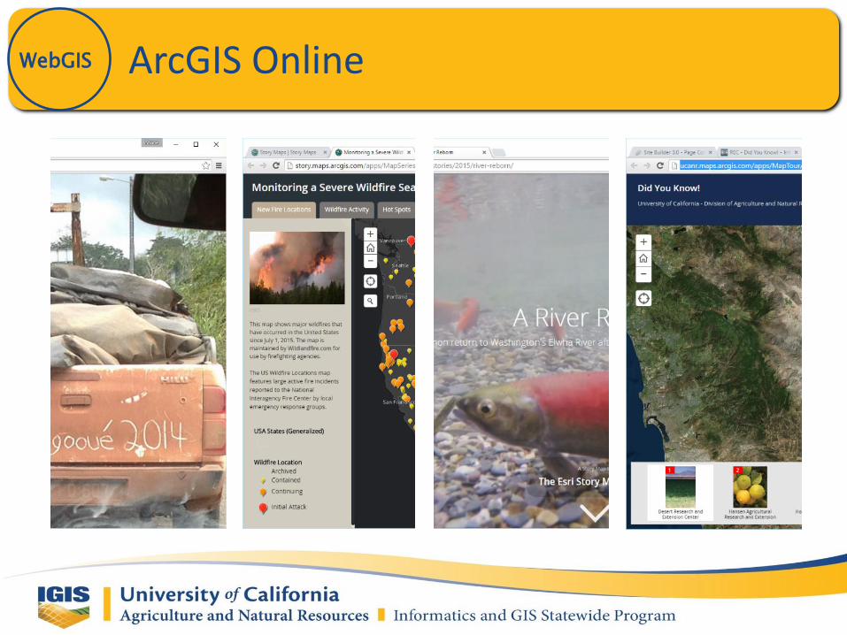
ArcGIS OnlineWebGIS

Native Apps – App Studio for ArcGISGPS

Survey 123
Originally based upon the Open Data Kit (ODK) https://opendatakit.org/ XLS Forms tool
GPS

Survey and Web Map Considerations
Surveying Human Subjects
UC research must be approved by the UC Institutional Review Board (IRB)
Resulting web maps may be constrained to not disclose sensitive geospatial data
GPS
Terminology
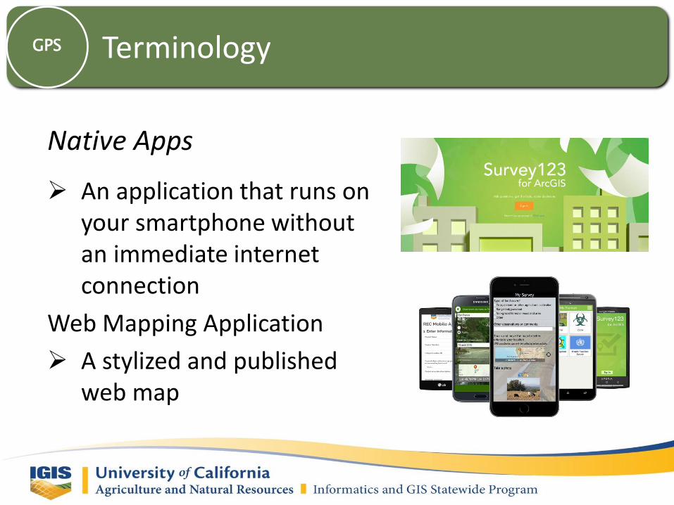
Native Apps
An application that runs on your smartphone without an immediate internet connection
Web Mapping Application
A stylized and published web map
GPS
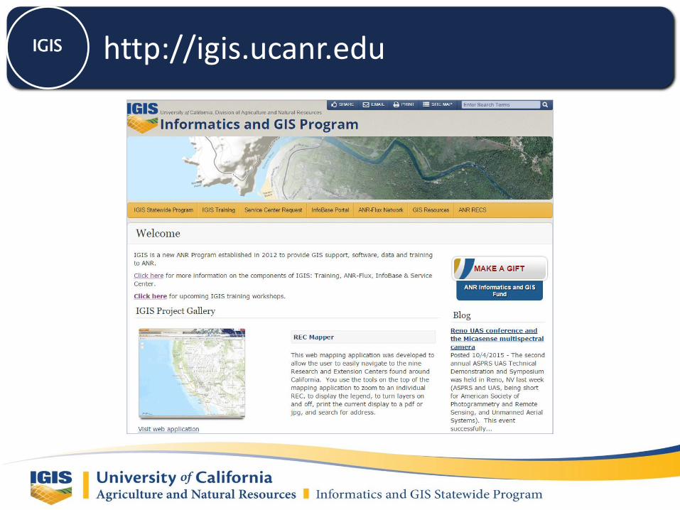
http://igis.ucanr.eduIGIS