Embed Size (px)
Citation preview
U.S. Programs & Policy
Jason Y. KimSenior Advisor, National Coordination Office
United States of America
U.N./Colombia/U.S.A. Workshop on the Applications of GNSS Medellin, Colombia
June 23, 2008
2
Overview
• Introduction• Global Positioning System• GPS Augmentations/Backups• U.S. Policy
3
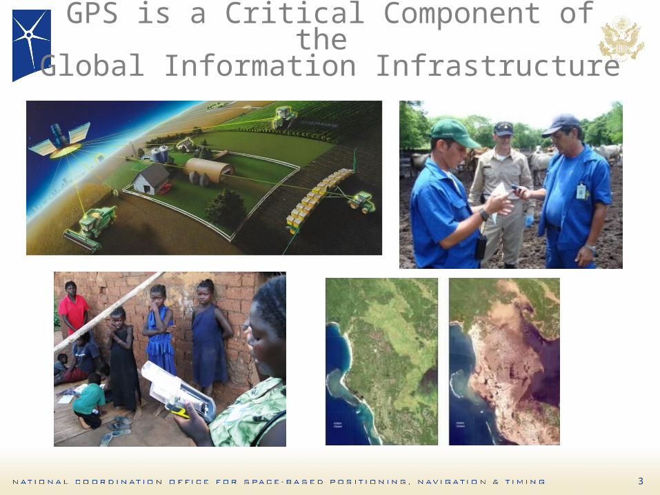
GPS is a Critical Component of the Global Information Infrastructure
4
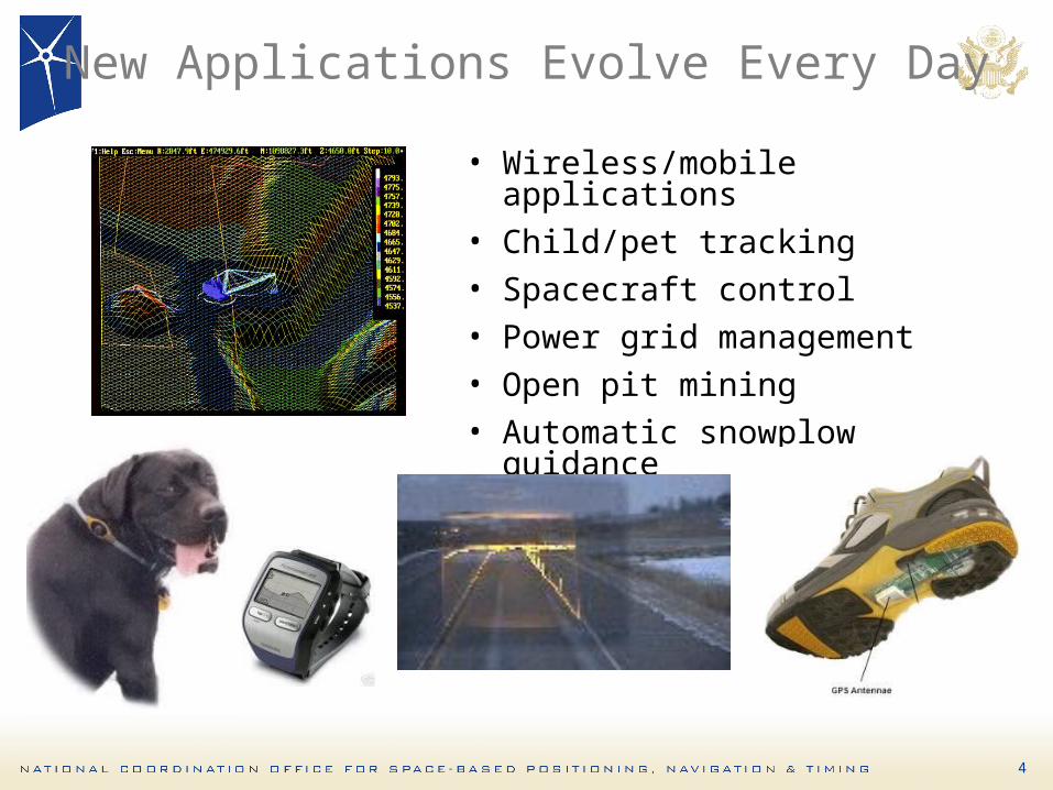
New Applications Evolve Every Day
• Wireless/mobile applications• Child/pet tracking• Spacecraft control• Power grid management• Open pit mining• Automatic snowplow
guidance
5
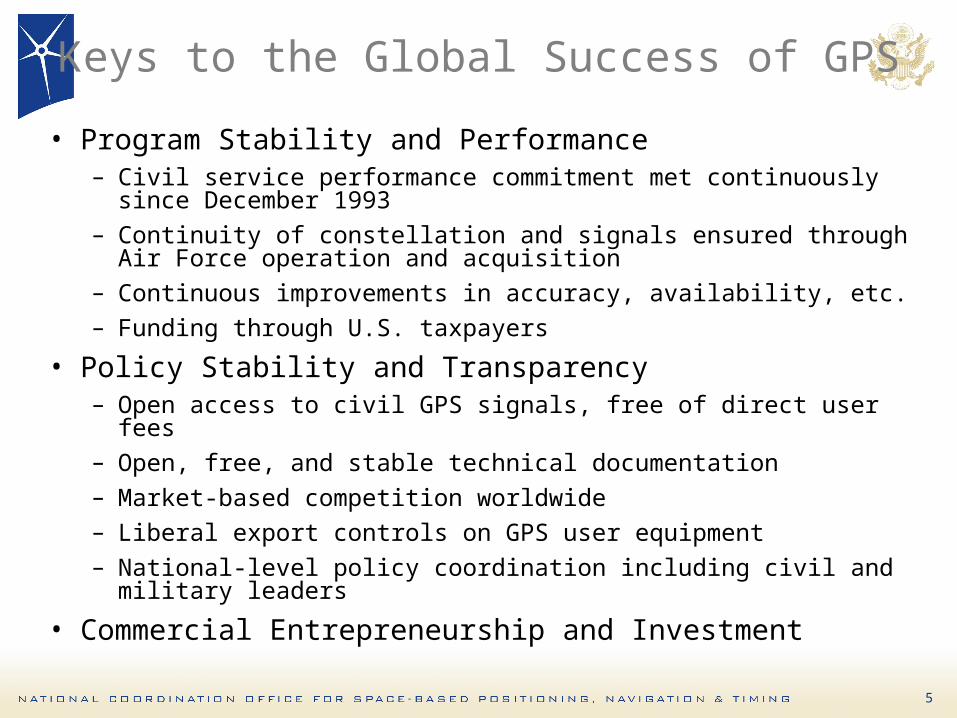
Keys to the Global Success of GPS
• Program Stability and Performance– Civil service performance commitment met continuously
since December 1993– Continuity of constellation and signals ensured through
Air Force operation and acquisition– Continuous improvements in accuracy, availability, etc.– Funding through U.S. taxpayers
• Policy Stability and Transparency– Open access to civil GPS signals, free of direct user fees– Open, free, and stable technical documentation– Market-based competition worldwide– Liberal export controls on GPS user equipment– National-level policy coordination including civil and
military leaders
• Commercial Entrepreneurship and Investment
6
Overview
• Introduction• Global Positioning System• GPS Augmentations/Backups• U.S. Policy
7
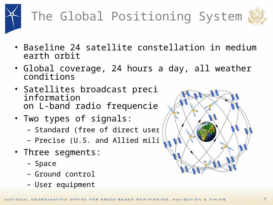
The Global Positioning System
• Baseline 24 satellite constellation in medium earth orbit
• Global coverage, 24 hours a day, all weather conditions
• Satellites broadcast precise time and orbit information on L-band radio frequencies
• Two types of signals:– Standard (free of direct user fees)– Precise (U.S. and Allied military)
• Three segments: – Space– Ground control– User equipment

8
GPS Constellation Status
• 13 Block IIA• 12 Block IIR• 6 Block IIR-M
– Transmitting new second civil signal
• Continuously assessing constellation health to determine launch need– 2 Block IIR-M’s remaining– Next launch: September 2008
31 Operational SatellitesAs of June 1, 2008 (Baseline Constellation: 24)
31 Operational SatellitesAs of June 1, 2008 (Baseline Constellation: 24)
9
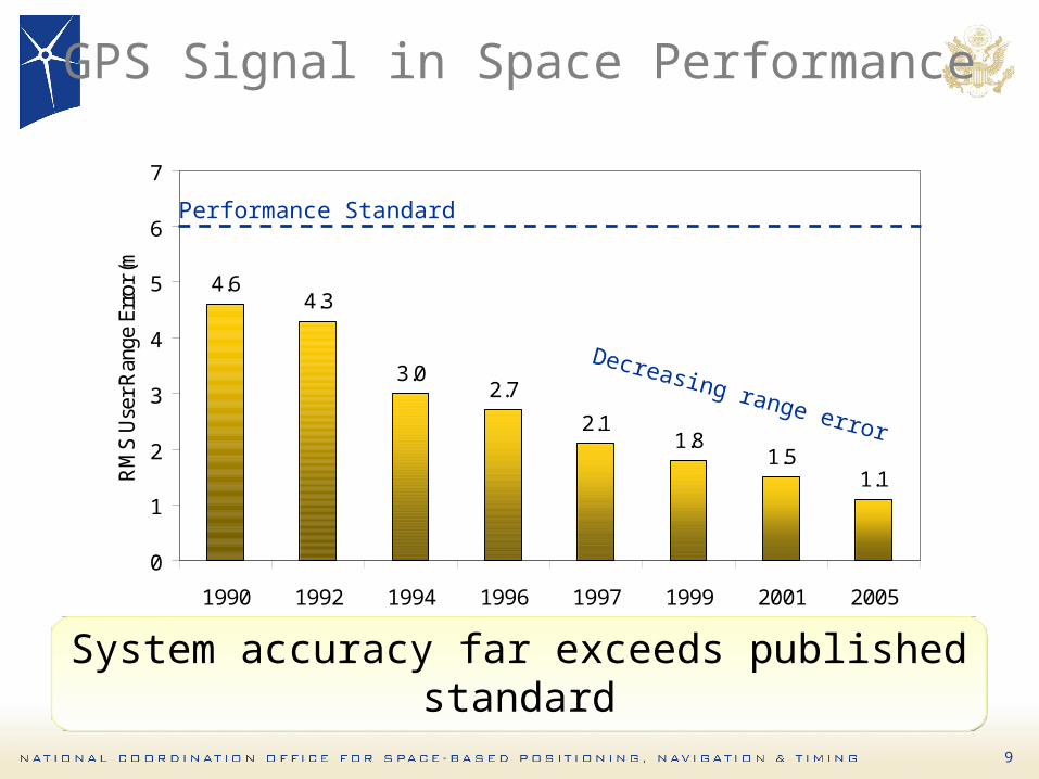
GPS Signal in Space Performance
4.64.3
3.02.7
2.11.8
1.51.1
0
1
2
3
4
5
6
7
1990 1992 1994 1996 1997 1999 2001 2005
RM
S Use
r Ran
ge E
rror
(m)
Decreasing range error
Performance Standard
System accuracy far exceeds published standard
System accuracy far exceeds published standard

10
Recent GPS Improvements
• Launched 3 modernized satellites in past 7 months– Largest GPS constellation size ever– Retiring old satellites improves overall GPS accuracy
• Transitioned to entirely new, modernized master control station– Improved operational flexibility and responsiveness– Added backup control station
• Expanded GPS ground network to triple amount of monitor data sent to control station– 10-15% improvement in accuracy of GPS data
broadcast

11
Block IIA/IIR Block IIIBlock IIR-M, IIF• Backward compatibility
• 4th civil signal (L1C)• Increased accuracy• Increased anti-jam power
• Assured availability• Navigation surety• Controlled integrity• Increased security• System survivability
IIR-M: IIA/IIR capabilities plus• 2nd civil signal (L2C)•M-Code (L1M & L2M)
IIF: IIR-M capability plus• 3rd civil signal (L5)• Anti-jam flex power
Basic GPS• Standard Service– Single frequency (L1)– Coarse acquisition
(C/A) code navigation• Precise Service– Y-Code (L1Y & L2Y)– Y-Code navigation
Increasing System Capabilities Increasing Defense / Civil Benefit
GPS Modernization Program
12
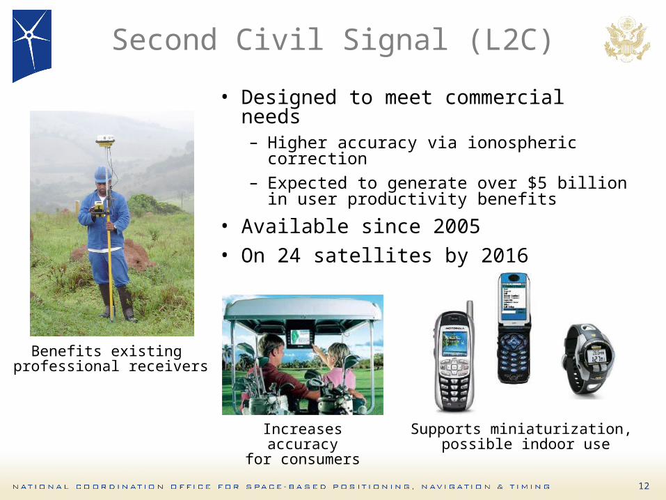
Second Civil Signal (L2C)
• Designed to meet commercial needs– Higher accuracy via ionospheric
correction– Expected to generate over $5 billion in
user productivity benefits
• Available since 2005• On 24 satellites by 2016
Increases accuracyfor consumers
Benefits existing professional receivers
Supports miniaturization, possible indoor use
13
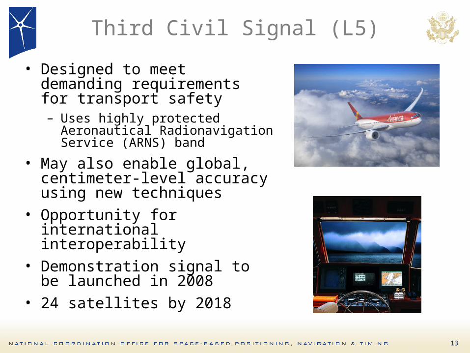
Third Civil Signal (L5)
• Designed to meet demanding requirements for transport safety– Uses highly protected
Aeronautical Radionavigation Service (ARNS) band
• May also enable global, centimeter-level accuracy using new techniques
• Opportunity for international interoperability
• Demonstration signal to be launched in 2008
• 24 satellites by 2018
14
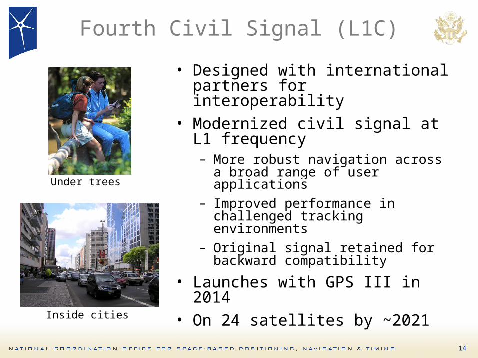
Fourth Civil Signal (L1C)
• Designed with international partners for interoperability
• Modernized civil signal at L1 frequency– More robust navigation across a
broad range of user applications– Improved performance in
challenged tracking environments– Original signal retained for
backward compatibility
• Launches with GPS III in 2014• On 24 satellites by ~2021
Under trees
Inside cities

15
GPS III Update
• Contract for GPS III-A satellites awarded in May– Selective Availability feature to be eliminated
• Contracts for Next-Generation Operational Control Segment (OCX) awarded in January– Will implement full functionality of L2C and L5
• Future increments of GPS III will incorporate additional capabilities– As technology matures and new requirements
are validated

16
Overview
• Introduction• Global Positioning System• GPS Augmentations/Backups• U.S. Policy
17
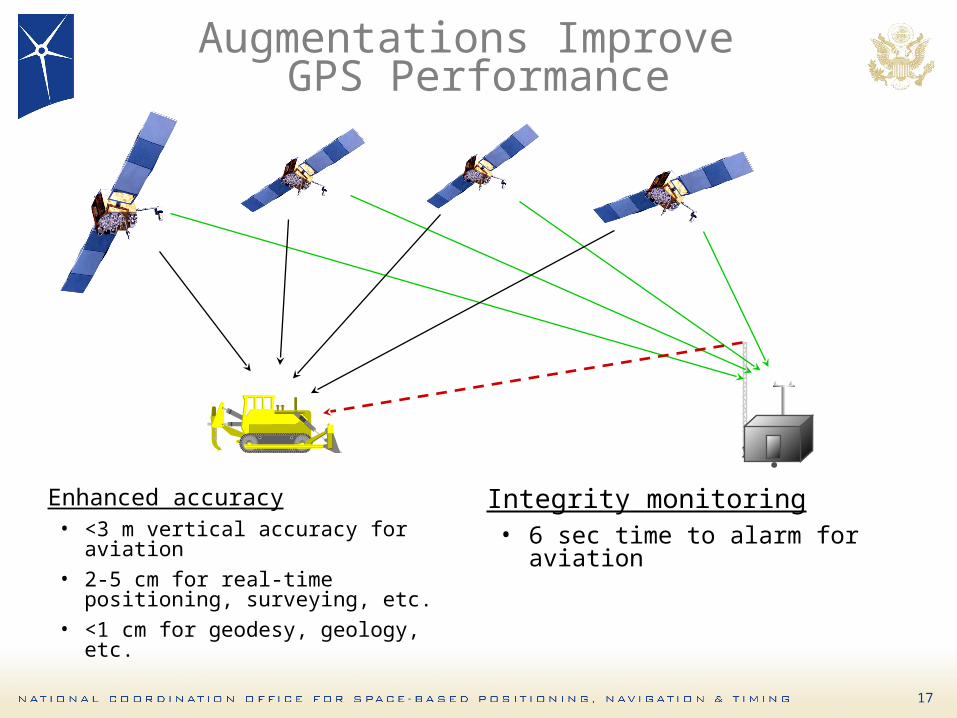
Augmentations Improve GPS Performance
Enhanced accuracy• <3 m vertical accuracy for
aviation• 2-5 cm for real-time positioning,
surveying, etc.• <1 cm for geodesy, geology, etc.
Integrity monitoring• 6 sec time to alarm for aviation
.
18
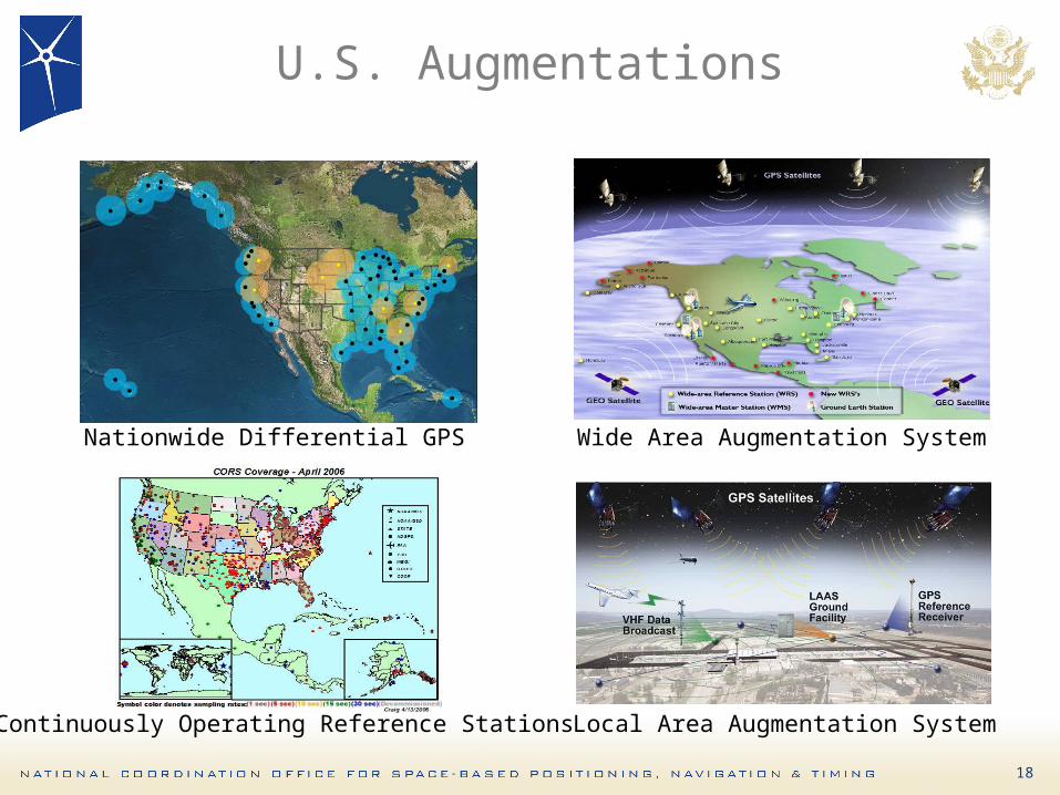
U.S. Augmentations
Nationwide Differential GPS Wide Area Augmentation System
Local Area Augmentation SystemContinuously Operating Reference Stations
19
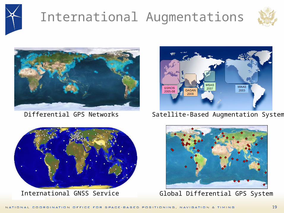
International Augmentations
Differential GPS Networks
International GNSS Service Global Differential GPS System
Satellite-Based Augmentation Systems
20
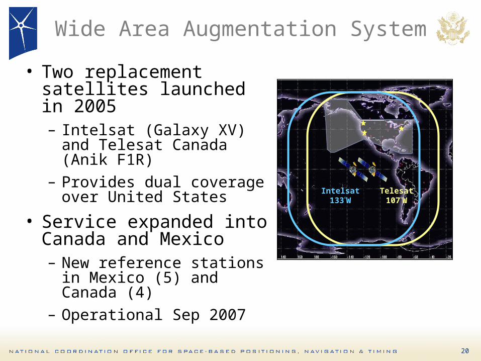
Wide Area Augmentation System
• Two replacement satellites launched in 2005– Intelsat (Galaxy XV) and
Telesat Canada (Anik F1R)
– Provides dual coverage over United States
• Service expanded into Canada and Mexico– New reference stations in
Mexico (5) and Canada (4)
– Operational Sep 2007
Telesat107W
Intelsat133W

21
Nationwide Differential GPS
• Expansion of maritime differential GPS (DGPS) network to cover terrestrial United States
• Built to international standard adopted in 50+ countries
• Department of Transportation recently re-committed to continuing inland element of NDGPS

22
Enhanced Loran as National Backup to GPS
• Enhanced Loran (eLoran) announced as national backup to GPS for PNT in Feb 2008– As recommended by
Independent Assessment Team and National Executive Committee
– Funded through Department of Homeland Security
• Will replace legacy Loran-C system

23
Overview
• Introduction• Global Positioning System• GPS Augmentations/Backups• U.S. Policy

24
U.S. Policy Promotes Global Use of GPS Technology
• No direct user fees for civil GPS services– Provided on a continuous, worldwide basis
• Open, public signal structures for all civil services– Promotes equal access for user equipment
manufacturing, applications development, and value-added services
– Encourages open, market-driven competition
• Global compatibility and interoperability with GPS
• Service improvements for civil, commercial, and scientific users worldwide
• Protection of radionavigation spectrum from disruption and interference
25
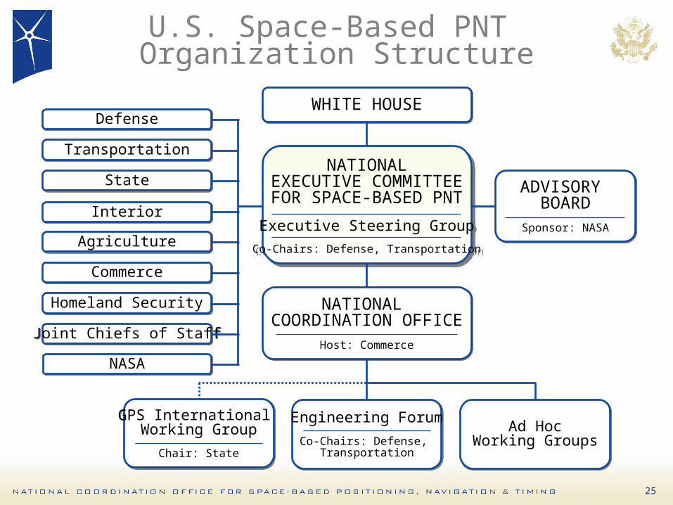
U.S. Space-Based PNT Organization Structure
WHITE HOUSEWHITE HOUSE
ADVISORY BOARD
Sponsor: NASA
ADVISORY BOARD
Sponsor: NASA
NATIONALEXECUTIVE COMMITTEEFOR SPACE-BASED PNT
Executive Steering Group
Co-Chairs: Defense, Transportation
NATIONALEXECUTIVE COMMITTEEFOR SPACE-BASED PNT
Executive Steering Group
Co-Chairs: Defense, Transportation
NATIONAL COORDINATION OFFICE
Host: Commerce
NATIONAL COORDINATION OFFICE
Host: Commerce
GPS International Working Group
Chair: State
GPS International Working Group
Chair: State
Engineering Forum
Co-Chairs: Defense, Transportation
Engineering Forum
Co-Chairs: Defense, Transportation
Ad HocWorking Groups
Ad HocWorking Groups
DefenseDefense
TransportationTransportation
StateState
InteriorInterior
AgricultureAgriculture
CommerceCommerce
Homeland SecurityHomeland Security
Joint Chiefs of StaffJoint Chiefs of Staff
NASANASA
26
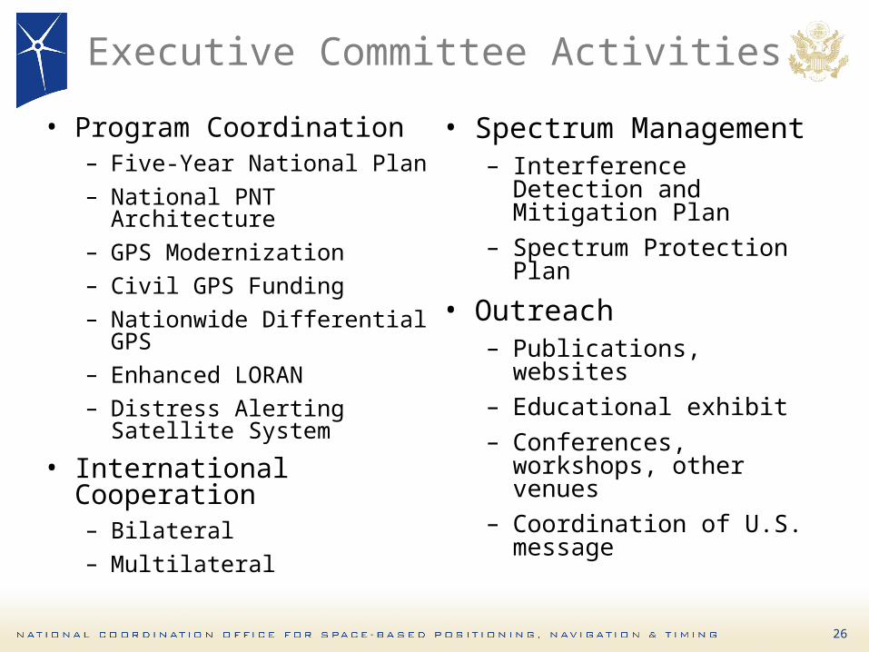
Executive Committee Activities
• Program Coordination– Five-Year National Plan– National PNT Architecture– GPS Modernization– Civil GPS Funding– Nationwide Differential
GPS– Enhanced LORAN– Distress Alerting Satellite
System
• International Cooperation– Bilateral– Multilateral
• Spectrum Management– Interference Detection
and Mitigation Plan– Spectrum Protection Plan
• Outreach– Publications, websites– Educational exhibit– Conferences, workshops,
other venues– Coordination of U.S.
message
27
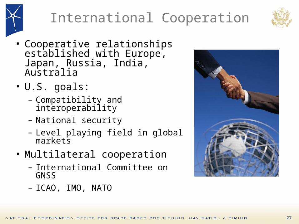
International Cooperation
• Cooperative relationships established with Europe, Japan, Russia, India, Australia
• U.S. goals:– Compatibility and
interoperability– National security– Level playing field in global
markets
• Multilateral cooperation– International Committee on
GNSS– ICAO, IMO, NATO
28
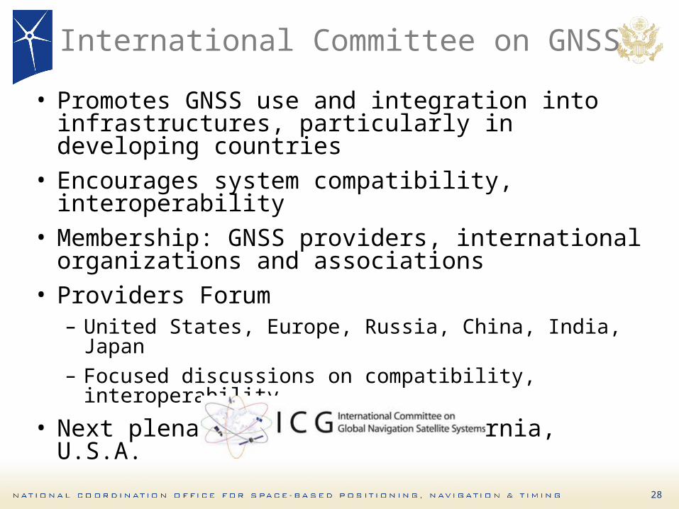
International Committee on GNSS
• Promotes GNSS use and integration into infrastructures, particularly in developing countries
• Encourages system compatibility, interoperability
• Membership: GNSS providers, international organizations and associations
• Providers Forum– United States, Europe, Russia, China, India,
Japan– Focused discussions on compatibility,
interoperability
• Next plenary: Dec 2008, California, U.S.A.

29
Summary
• GPS performance is better than ever and will continue to improve– Augmentations enable even higher performance– New civil GPS signal available now– Many additional upgrades scheduled
• U.S. policy encourages worldwide use of civil GPS and augmentations
• International cooperation is a priority– Compatibility and interoperability are critical
6822 Herbert C. Hoover BuildingWashington, D.C. 20230United States of America
Tel: +1 (202) 482-5809Email: [email protected]
¡Muchas Gracias!