Embed Size (px)
Citation preview
The World Bank and the
Open Geospatial Web
–Chris Holmes
Geospatial is Everywhere
QuickTime™ and aTIFF (Uncompressed) decompressor
are needed to see this picture.
“…the sources, systems, network linkages, standards, and institutional issues involved in delivering spatially-related data from many different sources to the widest possible group of potential users at affordable costs.”
Spatial Data Infrastructure (SDI)
– Groot & McLaughlin 2000
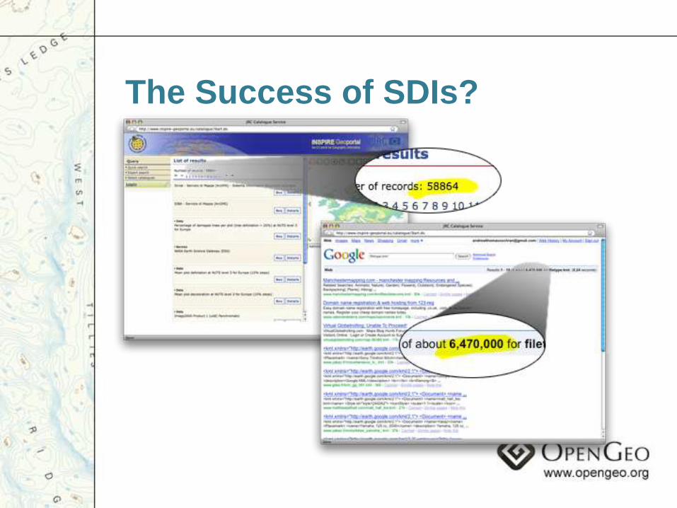
The Success of SDIs?
“Architectures of Participation”
– Coined by Tim O‟Reilly

An “Architecture of Participation” is both social and technical, leveraging the skills and energy of users as
much as possible to cooperate in building
something bigger than any single person or organization
could alone.
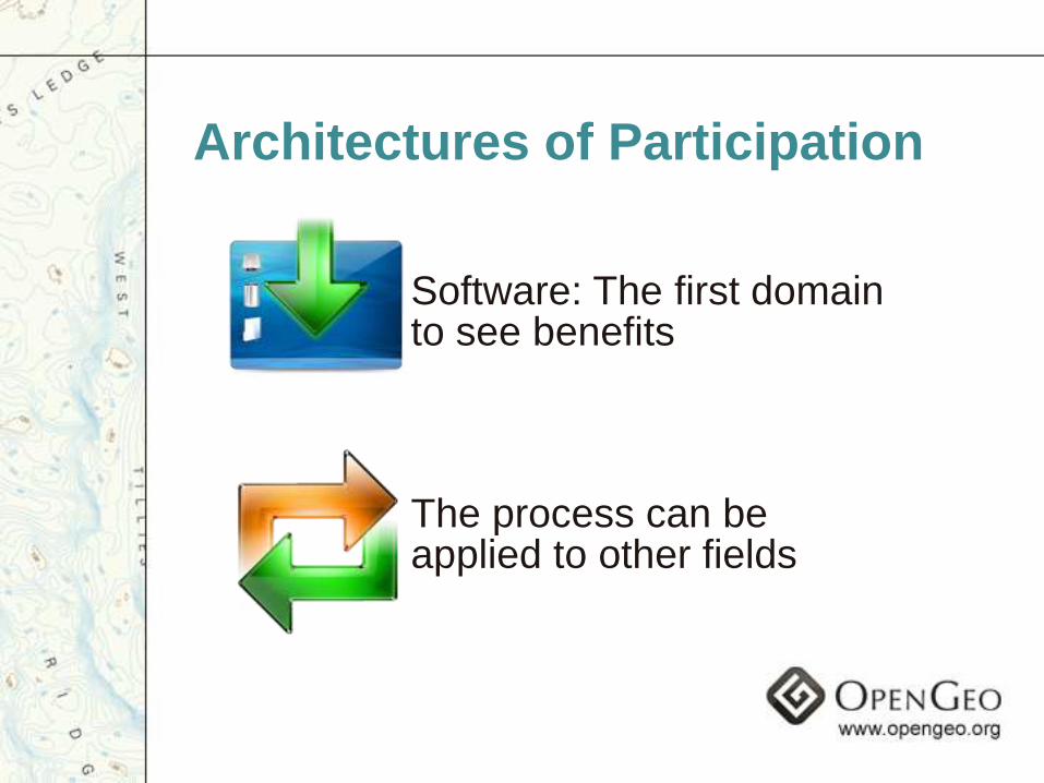
Architectures of Participation
Software: The first domain to see benefits
The process can be applied to other fields
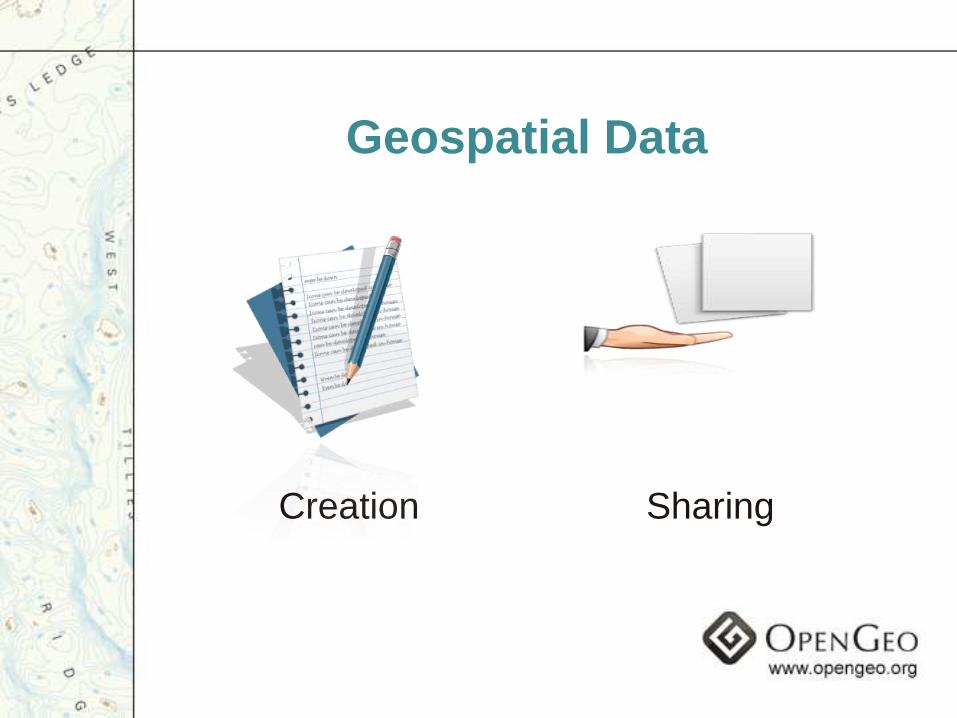
Geospatial Data
Creation Sharing
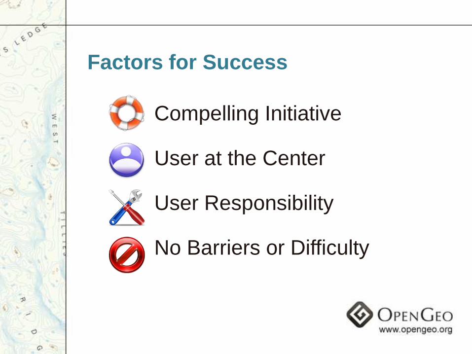
Compelling Initiative
User at the Center
User Responsibility
No Barriers or Difficulty
Factors for Success
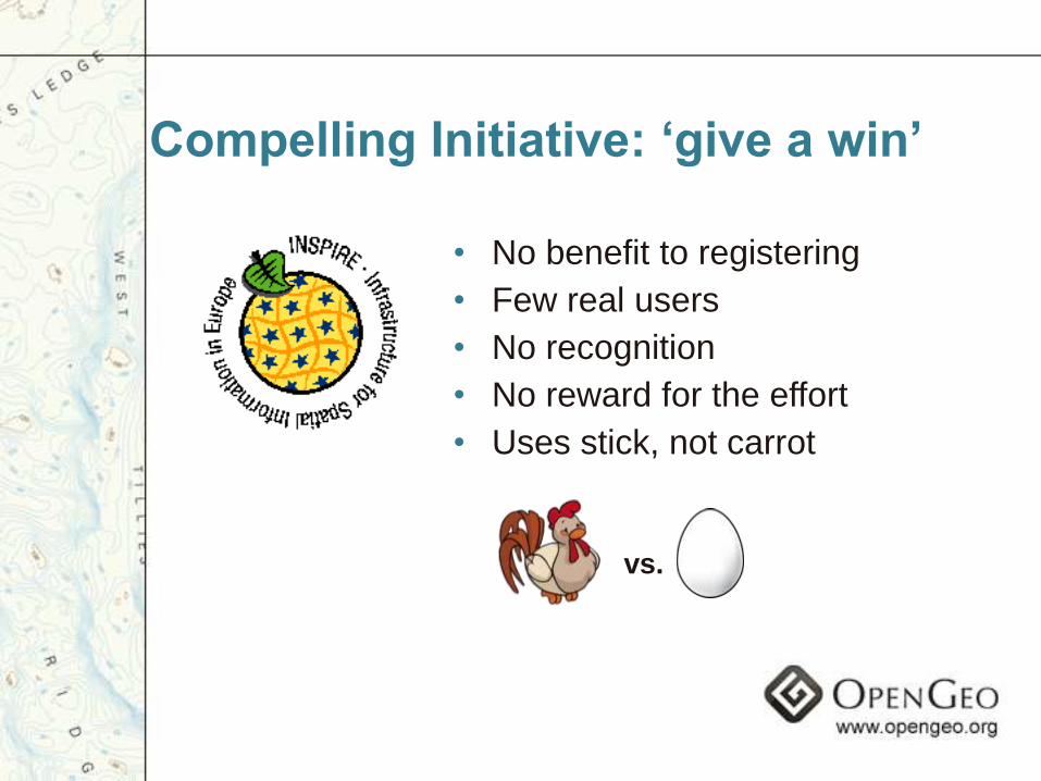
Compelling Initiative: „give a win‟
• No benefit to registering
• Few real users
• No recognition
• No reward for the effort
• Uses stick, not carrot
vs.
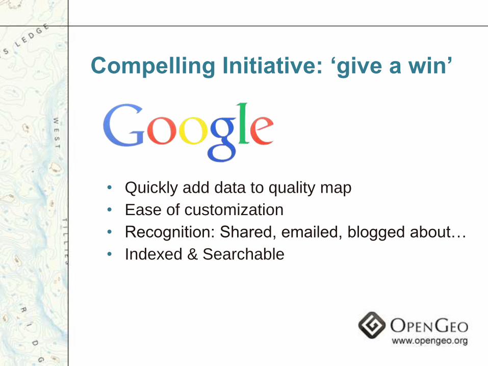
• Quickly add data to quality map
• Ease of customization
• Recognition: Shared, emailed, blogged about…
• Indexed & Searchable
Compelling Initiative: „give a win‟
• Consumers ≠ Producers
• Data from “official” sources
• Metadata takes training
• GIS Professionals Only
Users as Contributors

Users as ContributorsMaps
• Consumers = Producers
• Everyone encouraged to contribute
• Community members grow in to experts
• Even used for „real GIS‟ …it’s easier than getting on an SDI
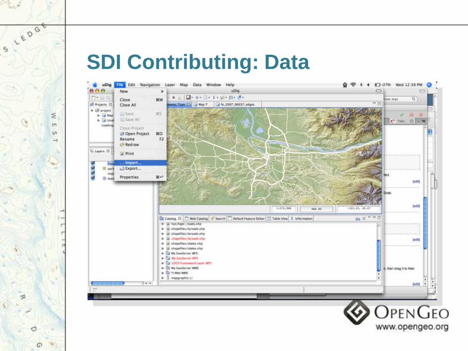
SDI Contributing: Data
Hardware

Software
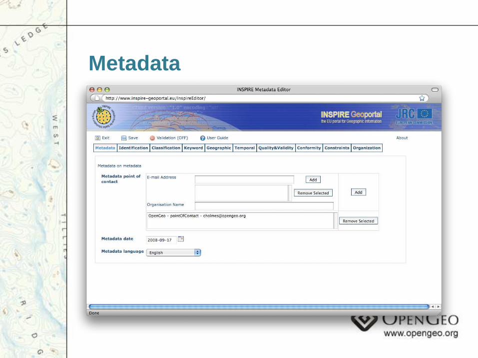
Metadata
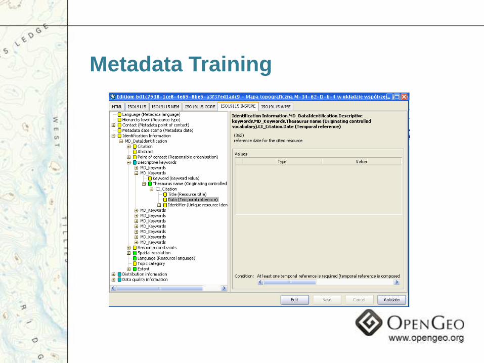
Metadata Training
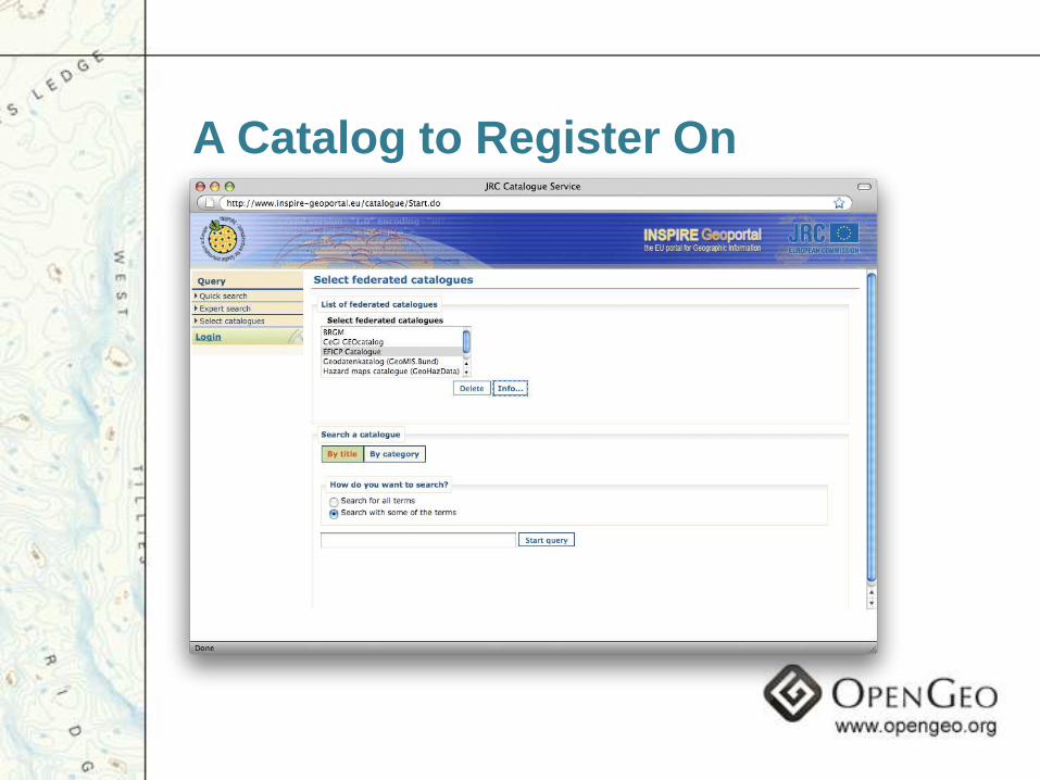
A Catalog to Register On
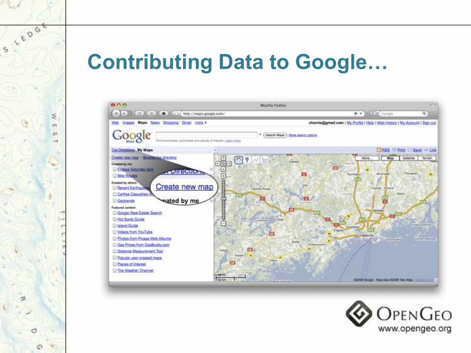
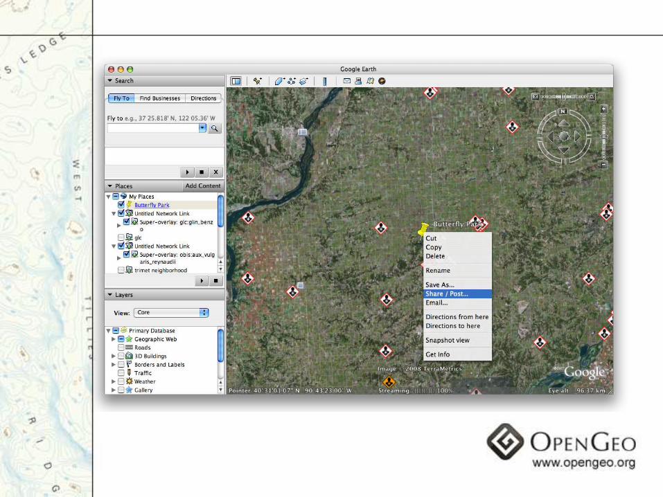
Contributing Data to Google…

Barriers to Entry…
Browser
Metadata
Training
Server Hardware
WMS Software
Sharing Agreements
Catalog Registration
Does user contributionalone make an SDI?
Let commercial players run SDI?
• SDI‟s are a public good
• Commercial players have profit motive
• Commercial players seek monopoly
DANGER: Governments are handing over data
without opening it to anyone else!
Towards the Open Geo Web
Inclusive Infrastructure
Single “Geo Web” Project
True data accessibility
Build on existing Architectures
of Participation
Principles: Towards the Open Geo Web
Not just policies,
requirements & mandates
Align incentives to create
a single Geospatial Web

Geospatial Data
Creation Sharing
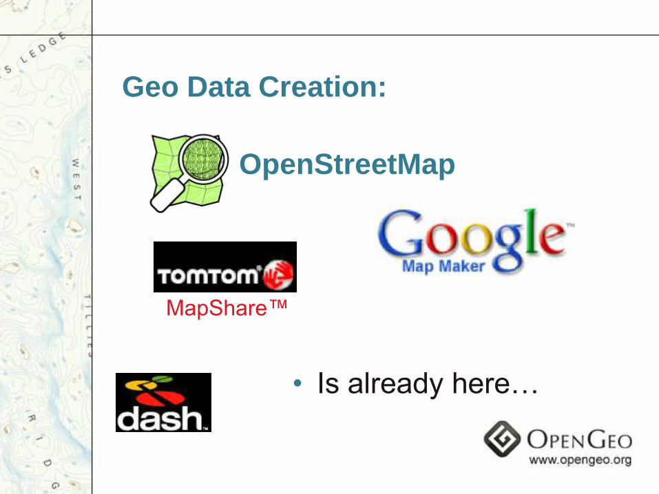
OpenStreetMap
Geo Data Creation:
• Is already here…
MapShare™
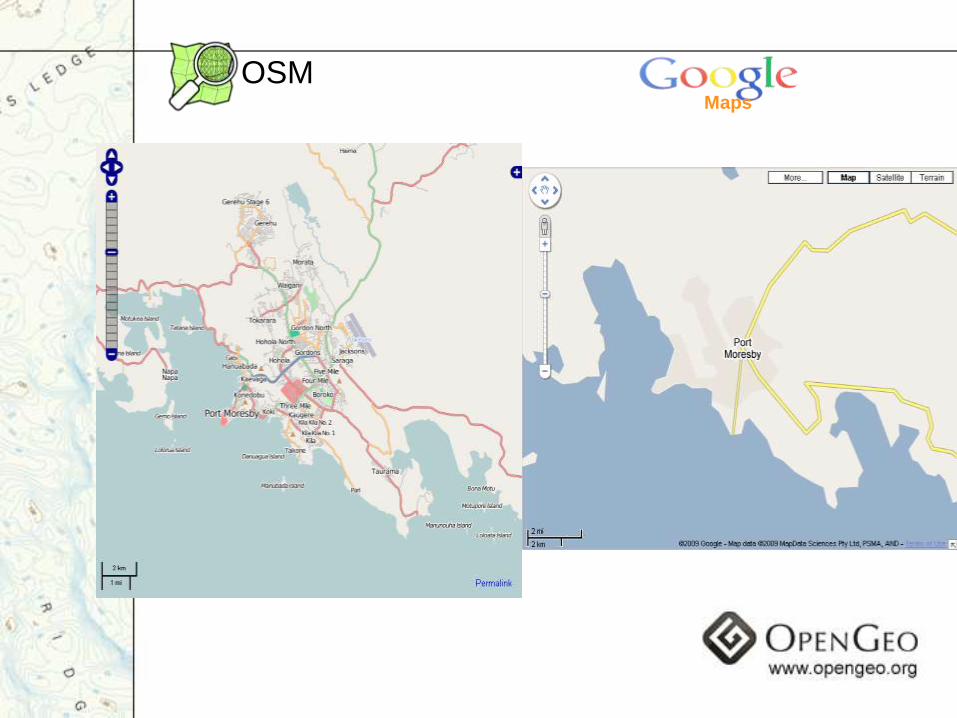
OSMMaps
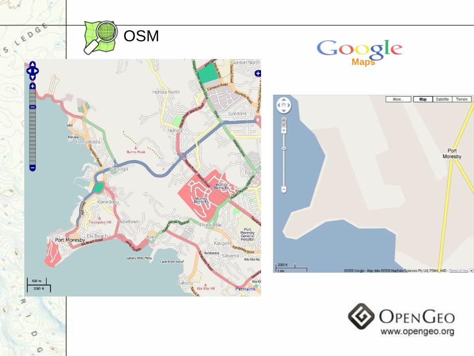
Maps
OSM
…Though far from mature
• Licensing is a big problem
• Tools are unsophisticated
• Few different workflow options
• But huge potential has been proven
Towards Maturity:
Workflow
vs
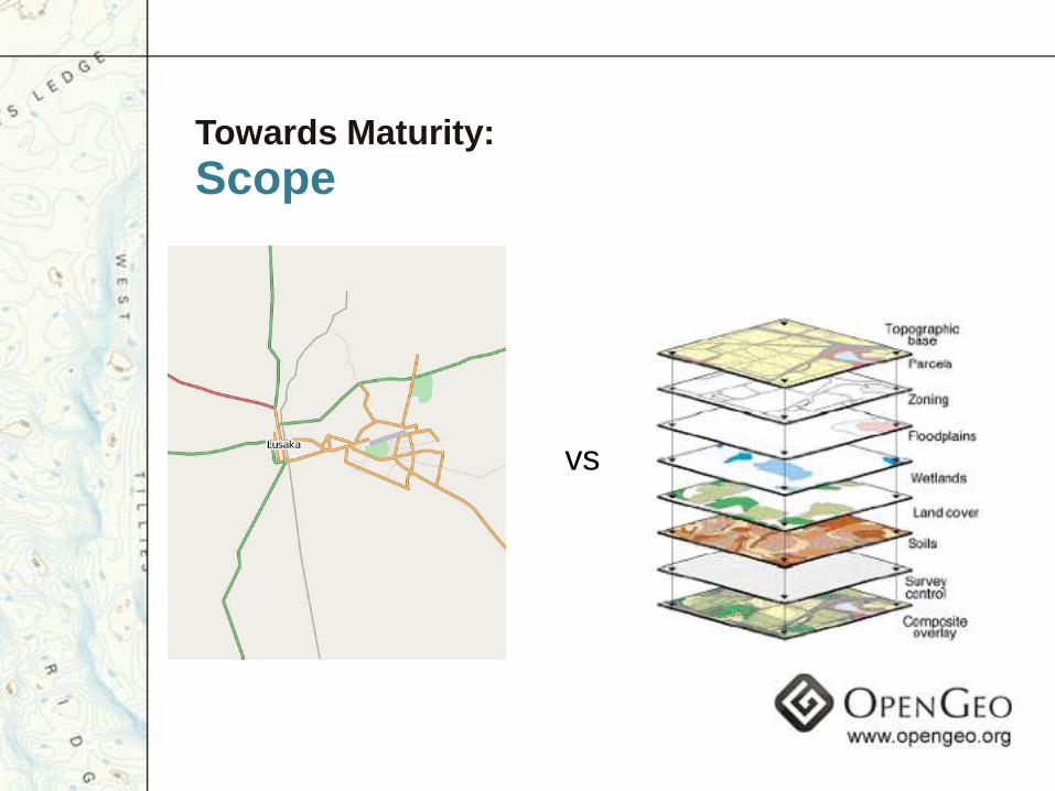
Towards Maturity:
Scope
vs
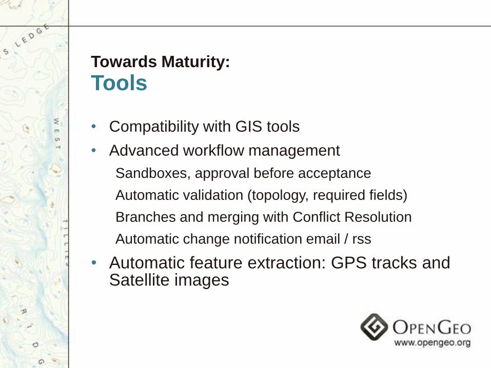
Towards Maturity:
Tools
• Compatibility with GIS tools
• Advanced workflow management
Sandboxes, approval before acceptance
Automatic validation (topology, required fields)
Branches and merging with Conflict Resolution
Automatic change notification email / rss
• Automatic feature extraction: GPS tracks and Satellite images
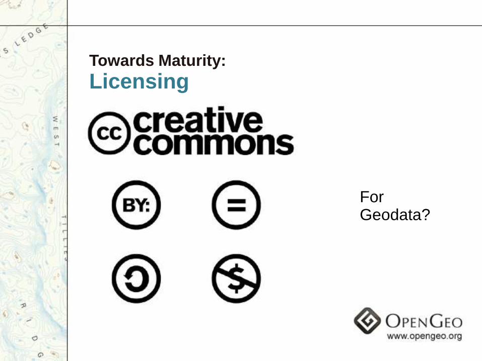
Towards Maturity:
Licensing
For Geodata?
Towards Maturity:
Cooperation
• Align efforts so that amateur, commercial, NGO and governmental creators all naturally collaborate
• Figure out workflows, tools and licenses that work for everyone
• Towards living data, constantly evolving -authoritative and always up to date
Building the Open Geo Web
• „Architectures of Participation‟ - social and technical, build iteratively
• Build infrastructure to align incentives in support of data availability in open formats
• „Scratch your own itch‟ - no one has solved spatial data sharing, figure out for yourself first
• Think in terms of nodes, each solving the problem locally, network spreads good solutions

Beyond Portals
• Web Portals went out of fashion in 2001
• „GeoWeb Node‟ = GeoPortal + Web 2.0
• GeoPortal goal: find existing data
• GeoWeb Node goal: increase creation and sharing of data
• End goal of both is easier to find and use data
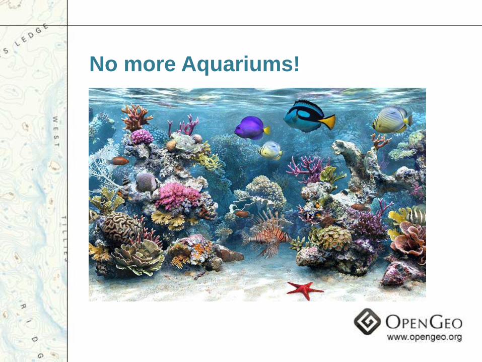
No more Aquariums!
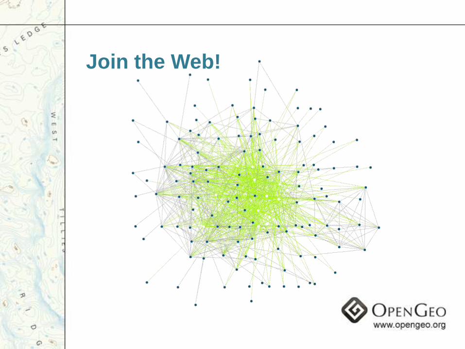
Join the Web!

A Geo Web Node
Building SDI‟s from the bottom up
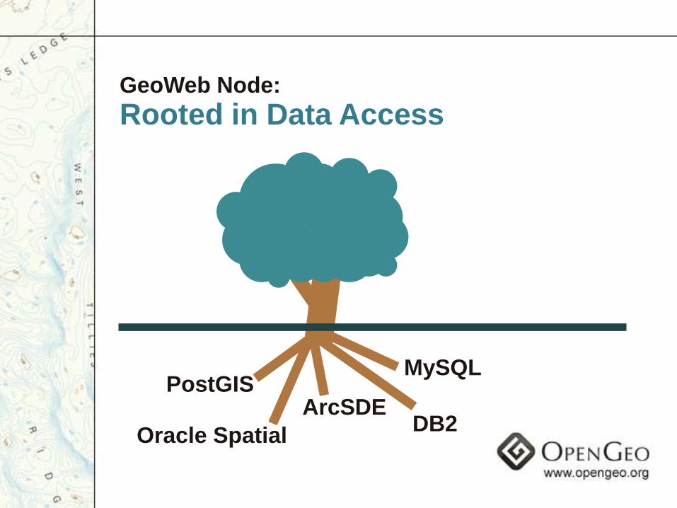
GeoWeb Node:
Rooted in Data Access
PostGIS
Oracle SpatialDB2
ArcSDE
MySQL
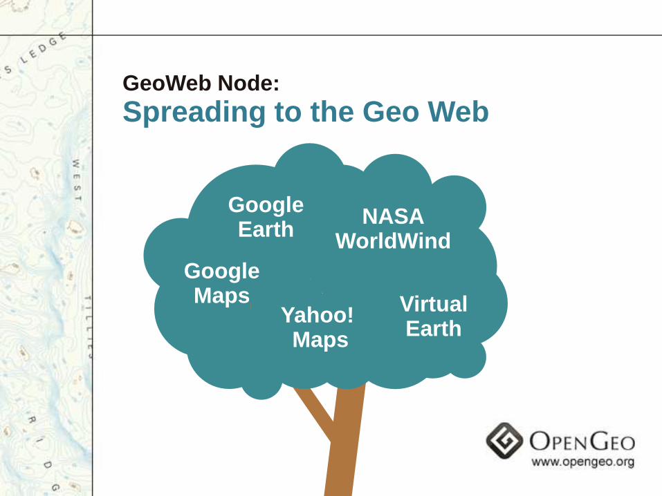
GeoWeb Node:
Spreading to the Geo Web
GoogleEarth
VirtualEarth
GoogleMaps
NASAWorldWind
Yahoo! Maps
GeoWeb Node:
Integrated Viewer
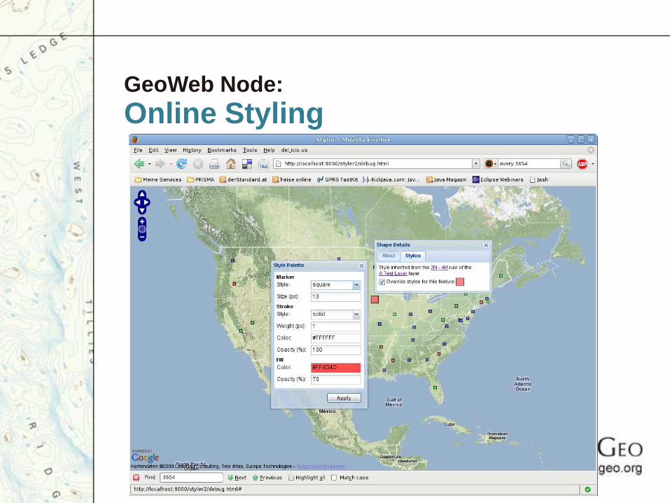
GeoWeb Node:
Online Styling

GeoWeb Node:
Easy upload
Choose File Geofile.shp
Upload

GeoWeb Node:
Searchable by Google
GeoWeb Node:
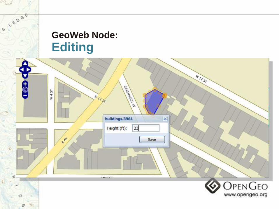
Editing
GeoWeb Node:
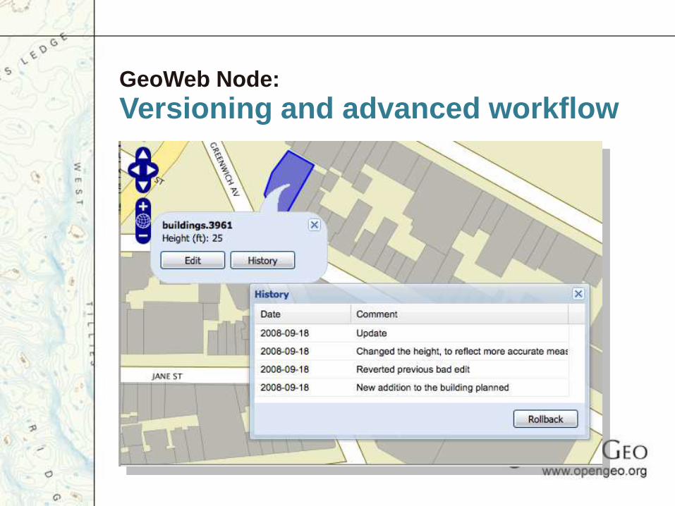
Versioning and advanced workflow
GeoWeb Node:
User accounts
• User statistics
• Comments, ratings, tags
• Collaborative Filtering
• Rankings of best „views‟ and data sets contributed
• Highest rated, most viewed, most shared

GeoWeb Node:
Metadata
• Derive from data and user actions
• Don‟t require metadata to put out data
• Wiki type editing of metadata
• Automatically available with the Catalog standards
GeoWeb Node:
The bottom up SDI
• Traditional SDI start with metadata
• Metadata -> Users -> Data
• GeoWebNodes start with data
• Data -> Users -> Metadata
• Align incentives so everyone gets some benefit from contributing
• Make it easy and open for anyone to use, not just specialists
• Build iteratively
Where to put these nodes?
• Everywhere!
• Anywhere you might put a portal
• Anywhere you have an „Enterprise GIS System‟
• Anywhere people share data with each other
• Handling all these use cases will evolve GeoWeb nodes to be truly useful
A Spatial Data Clearinghouse
• Focus on one region and one domain
• Easy for anyone to create, edit and share maps
• Compelling styling, export options on webpages, Google Earth, WorldWind
• Tagging/rating/commenting and traditional metadata combining for ease of use
• Resulting maps available as all open standards and real data downloads
• Users just viewing add value with rating, making maps, statistics
Spreading the GeoWeb Nodes
• Build the first Spatial Data Clearinghouse on Open Source Software
• Allow anyone to use the same package
• Other domains and regions will improve software in other ways that all nodes can use
• Encourage internal use, make it the easiest way to create and share data
• Sync nodes up and down for increased performance
• Result is a true information infrastructure
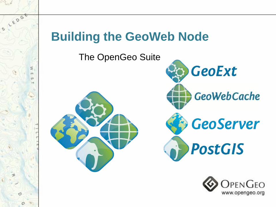
Building the GeoWeb Node
The OpenGeo Suite
OpenGe
oEnterprise
Don‟t have to go it alone
• The future is users
• Geo Participation• GIS Professionals
• Amateur Neo Geographers
• Anyone with a locative device
• Technology & Community
The Future: Beyond Portals
My GeoWeb Goal
Let‟s build a Geo Web that‟s so compelling and easy-to-use that
everyone: Citizens, Governments, NGO‟s and Companies all naturally
collaborate towards the same infrastructure for public good.
Learn more…
www.geoserver.org
www.opengeo.org
www.cholmes.wordpress.com
This work is licensed under a Creative Commons Share Alike Attribution License. Please attribute Chris Holmes, and keep the OpenGeo.org logo on all slides, unless alternate permission is given. Contact [email protected] for more information
In the beginning
(The Open Planning Project)

The first project
QuickTime™ and aTIFF (Uncompressed) decompressor
are needed to see this picture.

• From a side project of TOPP
• To sustaining contract work
• And the push to grow
Grow!
Towards OpenGeo
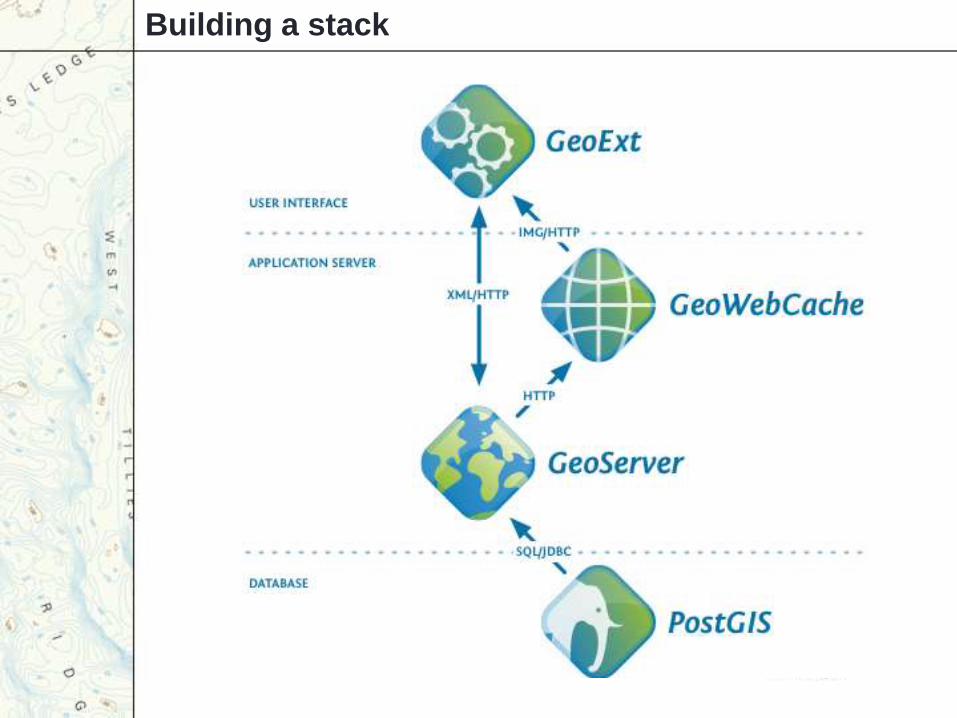
Building a stack
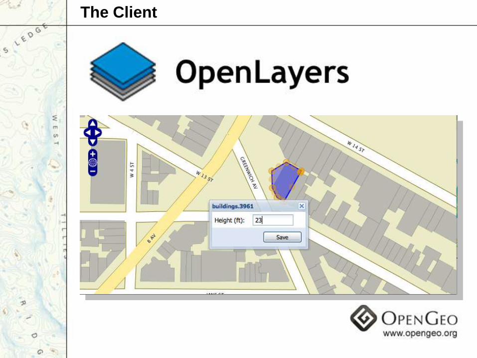
The Client
OpenLayers
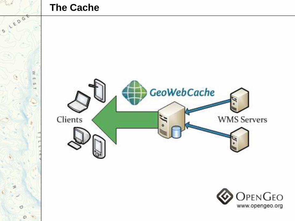
The Cache
The Database
The Rich Client
The OpenGeo Suite
Funding
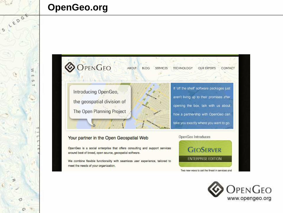
OpenGeo.org
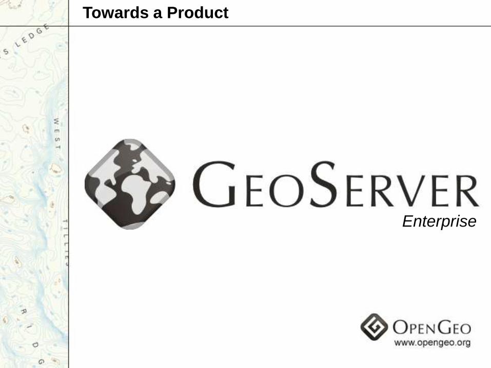
Enterprise
Towards a Product
Building the Open Geospatial Web
Making Geospatial Information Open and Accessible
By bringing Open Source Principles to Geo
Working by building OS software that gets used by all
In the context of a hybrid organization
OpenGe
oEnterprise
The full solution