Embed Size (px)
DESCRIPTION
THE USE OF GOES DATA AT THE NATIONAL METEOROLOGICAL INSTITUTE OF COSTA RICA. By Rosario Alfaro. MITCH PROJECT. The server with the satellite imagery is located at the IMN of Costa Rica All Central American weather services have access to the data - PowerPoint PPT Presentation
Citation preview

THE USE OF GOES DATA AT THE NATIONAL METEOROLOGICAL INSTITUTE OF COSTA RICA
By
Rosario Alfaro

MITCH PROJECT
The server with the satellite imagery is located at the IMN of Costa RicaAll Central American weather services have access to the dataA software developed by CIRA makes the data available every half an hour in a very friendly way to be used by the forecasters.

DATA
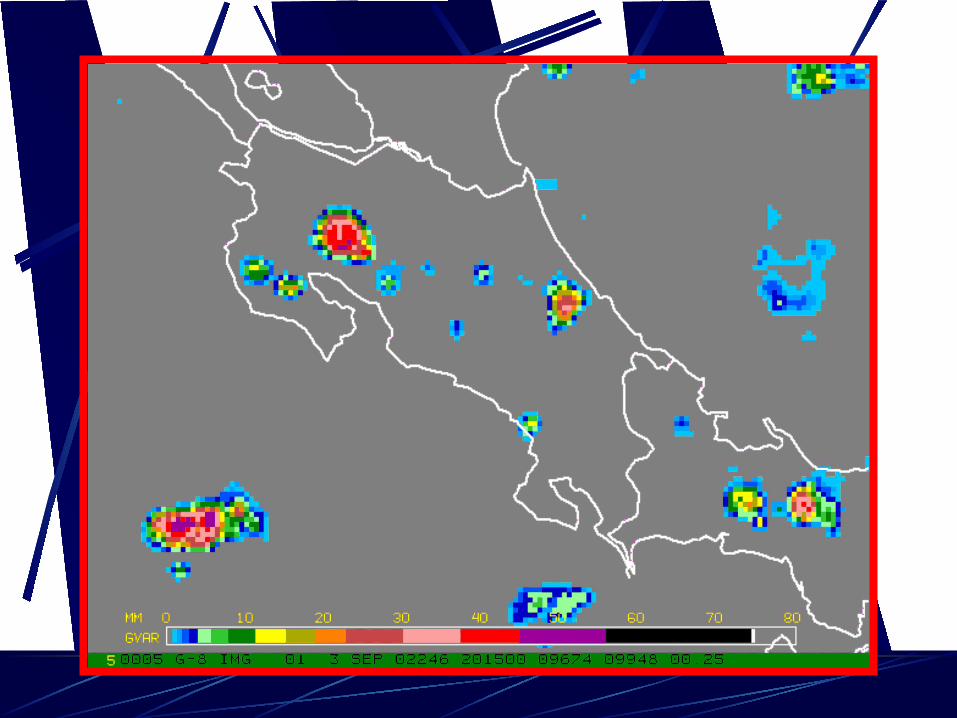
Visible, IR (10.7 um) and water vapor imagery are constantly used at the forecast office.
Channel 5 (12.0 um) has not been used and channel 2 (3.9 um) will be used in the near future
Current applications
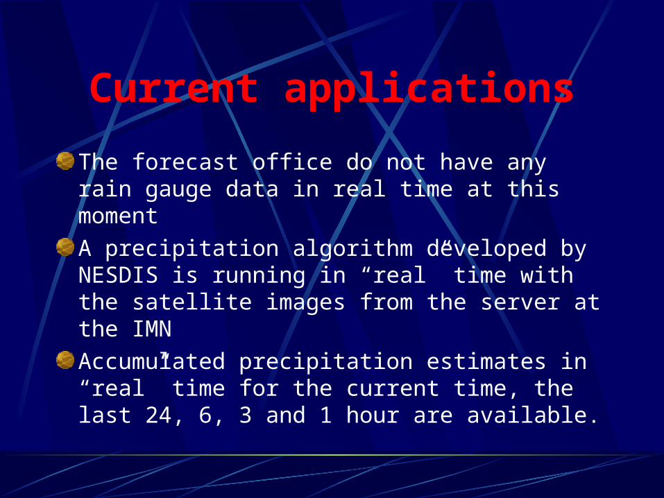
The forecast office do not have any rain gauge data in real time at this moment
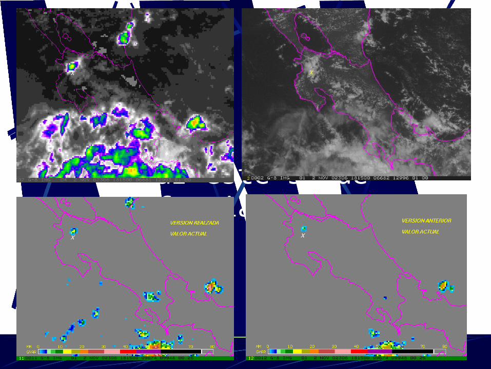
A precipitation algorithm developed by NESDIS is running in “real” time with the satellite images from the server at the IMN
Accumulated precipitation estimates in “real” time for the current time, the last 24, 6, 3 and 1 hour are available.


Tomar este slide de formiami-2.ppt

Future applications
A fire algorithm: visible and 3.9 um imagery used.POES imagery would be an important tool at this respect because of the higher resolution The GMSRA algorithm: five channel imagery used. How the change in satellite can affect this aplication?

Aviation operations
The airports in Costa Rica don’t have the software available at IMN.
Communication IMN-airports: from 5 a.m to 7 p.m
Imagery from the server is not available at the airports, it will be in the near future.