Embed Size (px)
Citation preview

Claudio João Barreto dos Santos
Cartographer Engineer at IBGE (Brazilian Institute of
Geographical and Statistics); Manager and Technical Adviser
of Topographic Division of Cartographic Coordination; Post
Graduate at Computer Science by Catholic University RJ
(PUC – RJ); Master degree in Production and Analysis of
Geographic Information and in progress, Doctor degree at
Geography by Federal University of Rio de Janeiro.
GEOGRAPHIC NAMES OF THE STATE RIO DE
JANEIRO (BR), CENTURY XVI TO CENTURY XXI: A
BOARDING DIACRONIC
Cláudio João Barreto dos Santos
Instituto Brasileiro de Geografia e Estatística – IBGE - Brazil
Paulo Márcio Leal de Menezes
Universidade Federal do Rio de Janeiro – UFRJ – Brazil
The objective of this paper meets anchored in the increment of studies on the
geonimy in the territorial clipping of the State Rio de Janeiro, since the beginning of the
formation of the territorial structure of this portion of the Brazilian territory in century
XVI until the current days. This study it puts focus throughout the line of the time, in
the main occurred modifications in the state of Rio de Janeiro territory, from presence
of the geographic names, in a context that takes in consideration geographic aspects,
historical, ethnographical and etymological of the geonimy, in the formation of the
territory in screen.
1. INTRODUTION
1

The act of appointing follows the human activity since immemorial time. The
Human Being is appointed as well the places, allowing the individualization and the
univocal identification consequent of people and places. Each people, because of their
specifically culture, change the act of appointing into an authentic act of civil registry,
beyond the fact of getting a salient feature of the singularity on the identification of
persons and places make possible, in this way, a large relationship in the midst of the
close association inside of the society. Dick (1990) says that each people have their
singularities ”in appointing names” and “in the experience of the names appointed”.
The names distinguish places, but it isn’t an everlasting denominated. There is a
dynamic obvious and evident, above all related to the appointment of the places, which
present itself mainly according with the political and economics injunctions that make
the appointment to grow, to change and to corrupt at all.
The sphere of the scientific knowledge that includes this learning is the
Onomastic, which is translated in the learning of the proper name. This sphere of the
knowledge to be divided in two other forms: Anthroponomy and Toponymy. The
Anthroponomy is the learning of the persons’ names and the Toponymy is the learning
of the places’ names, the area of the human knowledge in what is inserted at this present
learning. As directly related to the Onomastic, it could be also called of Toponomastic.
In this paper, the concept used in the learning of the process of
diacrony in the growing of the geographical names of the cities of Rio de Janeiro’s State
will be the geonimy, determined by this writers as: the geographical names, under a
historical, etymological and ethnographical perspectives, which identify any natural
geographical aspects or human actions, time after time, on the terrestrial area, which are
possible of being geo-reference. Menezes e Santos (2007)
At our point of view, the first registry of one geonimy into a
cartographical document as if the terrestrial aspect would be appeared to society at that
moment, and it would be recognized as an occurrence with a real existence, something
that has an identity and correspondent legal registry.
Any terrestrial occurrence is appointed at any time that considers the
identification significant and the consequent motivation related to the staff social that
adopted it. This meaning can assume differentiated aspects with a preferential way
between the games of power; and politics, sentimentalism, historical, cultural e
economics aspects.
2

In this paper, we will be dealing with the evolution of the dynamic of
the appointment of the cities and districts of Rio de Janeiro’s State, in Brazil, under the
point of view historical and etymological of the names’ formation and of several
extracts of cultural and ethnographical existent on the people which form them.
The Portuguese were, for instance, the greatest given of the
geographical names present today in all Brazilian territory, and, in particular, in the
Brazilian’s state of our research, in process yet, Rio de Janeiro’s State. During the
centuries XV e XVI when the Portuguese went to the oceans and engaged in a
wonderful adventure to discovering new lands, they gave also a big impulse to the
cartography and the Toponymy of Portuguese’s origin in the entire world.
The empire’s expansion depended on maps and several Toponymies in
Portuguese language were included when they produced them. Therefore, the same
cartographical plans which allow them to govern the navigation, they guarantee the
glory to Portugal to see nowadays yet the representation of their conquest in the
Portuguese’s Toponymy spread during the centuries from Lisboa to Nagasaki, into a
commercial way.
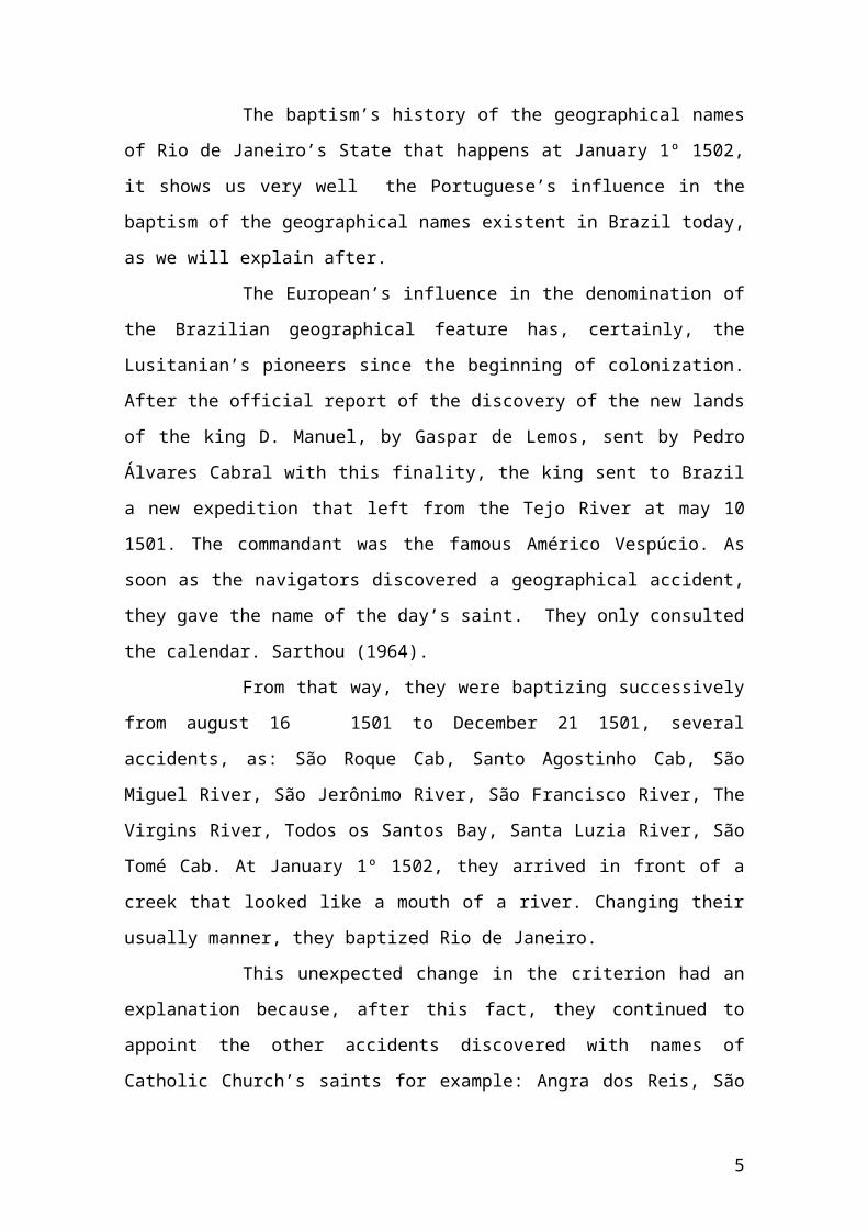
The baptism’s history of the geographical names of Rio de Janeiro’s
State that happens at January 1º 1502, it shows us very well the Portuguese’s influence
in the baptism of the geographical names existent in Brazil today, as we will explain
after.
The European’s influence in the denomination of the Brazilian
geographical feature has, certainly, the Lusitanian’s pioneers since the beginning of
colonization. After the official report of the discovery of the new lands of the king D.
Manuel, by Gaspar de Lemos, sent by Pedro Álvares Cabral with this finality, the king
sent to Brazil a new expedition that left from the Tejo River at may 10 1501. The
commandant was the famous Américo Vespúcio. As soon as the navigators discovered a
geographical accident, they gave the name of the day’s saint. They only consulted the
calendar. Sarthou (1964).
From that way, they were baptizing successively from august 16 1501
to December 21 1501, several accidents, as: São Roque Cab, Santo Agostinho Cab, São
Miguel River, São Jerônimo River, São Francisco River, The Virgins River, Todos os
Santos Bay, Santa Luzia River, São Tomé Cab. At January 1º 1502, they arrived in front
of a creek that looked like a mouth of a river. Changing their usually manner, they
baptized Rio de Janeiro.
3

This unexpected change in the criterion had an explanation because,
after this fact, they continued to appoint the other accidents discovered with names of
Catholic Church’s saints for example: Angra dos Reis, São Sebastião Isle, São Vicente
Isle e Santa Marta Cab, discovered from January 6 1502 to February 2 1502.
Sarthou (op. cit) elucidated that January 1º didn’t be dedicated to any
Catholic’s saint. Such day is dedicated to the Circumcision of the Lord. It was the
reason for those serious lords didn’t choose this name to the new discovery, because it
wasn’t auspicious to appoint Circumcision Bay. So, they had the idea of the name Rio
de Janeiro.
Sarthou (op. cit) still said that the word “river” had a large meaning, at
that time. It could denote any portion of soft water or not. We can infer that, even the
present days, in Galicia, Spanish, the portions of the sea into the continent where the
littoral cities were foundered in that region of the North Atlantic, they are denominated
“Rias”. We can make a possible connection about the appearance of the used name
“Rio” in our country.
2. THE DYNAMIC OF THE GEONIMYC EVOLUTION OF THE STATE RIO DE
JANEIRO
At 1532, the area of the present time of Rio de Janeiro’s State was
divided in two Hereditary Captaincies: São Tomé at North and São Vicente at South.
The lands were given to Christians Portugueses who had the function to survey the
lands, to be care of them, to people and to protect from invaders. The vested rights by
the donees were hereditaries and their possession was restricted to 20% of the entire
land. The remaining should be given to men with possession and family through the
system of sesmarias.
At 1555, Villegagnom, a Frenchman, leaded and took possession of
Guanabara’s Bay and foundered the Antarctic France. Only at 1565, the Portugueses
had gotten to expel them definitively when Estácio de Sá foundered the City of São
Sebastião of Rio de Janeiro. Estácio de Sá started the occupation of the area. (Noronha,
1993).
The Hereditary Captaincies set the real beginning of the occupation of
the colony with the installation of the first sugar plants and the foundation of the first
villages and forts in the littoral edge. At 1549, the general government was installed in
4
the City of Salvador. During that time, the north-east has consolidated as the
economical pole through the sugar production for exportation.
In the century XVII, it was founded six cities more and villages on the
area. These cities were lawfully ruled by the Portuguese’s arrangement which regulated
the election and the conduct of the legislators and other municipal authorities. However,
it wasn’t necessary rules to the foundation of a city only the people’s necessity.
(Noronha, 1993).
After 1697, it hadn’t any modification in the local structure
administrative with the foundation of the Santo Antônio Village for 75 years, only in
1773 was founded the São José Del Rei Village.
In the century XVIII, the gold was discovered in Minas Gerais. It
attracted the government Portuguese’s attention that finished the system of Captaincies
and returned it to them. The displacement of the economical pole to the south compelled
the transference of the capital to the Rio de Janeiro because this city was next of the
productive area. From this moment, Rio de Janeiro will occupy all administrative and
commercial functions. It has established an influence’s net surround the city.
The heathen that has born on Rio de Janeiro is called fluminense: it
refers on the fluvial or who has born on the lands of the rivers. This fact was marked in
the lands of Rio de Janeiro as a linguistic fossil, because since the century XVIII, the
big obstacle to the permanence of the colonists was the waterlogged lots, throughout the
overflowing of the rivers of the low area of Rio de Janeiro. Even today these geonomies
stayed as an evidence of the swampy’s topography: rio do Brejo, Fazenda do Brejo,
capela Nossa Senhora da Conceição do Pantanal etc.
The Catholic Church was a powerful allied of the Portuguese on the
occupation of the Brazilian Territory. As the mediator between the Indian and
Portuguese cultures and interlaced its religious function with the civil power,
conquering spaces to the sitting of the Portuguese’s people. The Church localized itself
on privileged position into the spatial organization of the village and cities. The Church
had the double function of domination and watching the Territory. The Jesuits had an
important performance by the building of a lot of colleges.
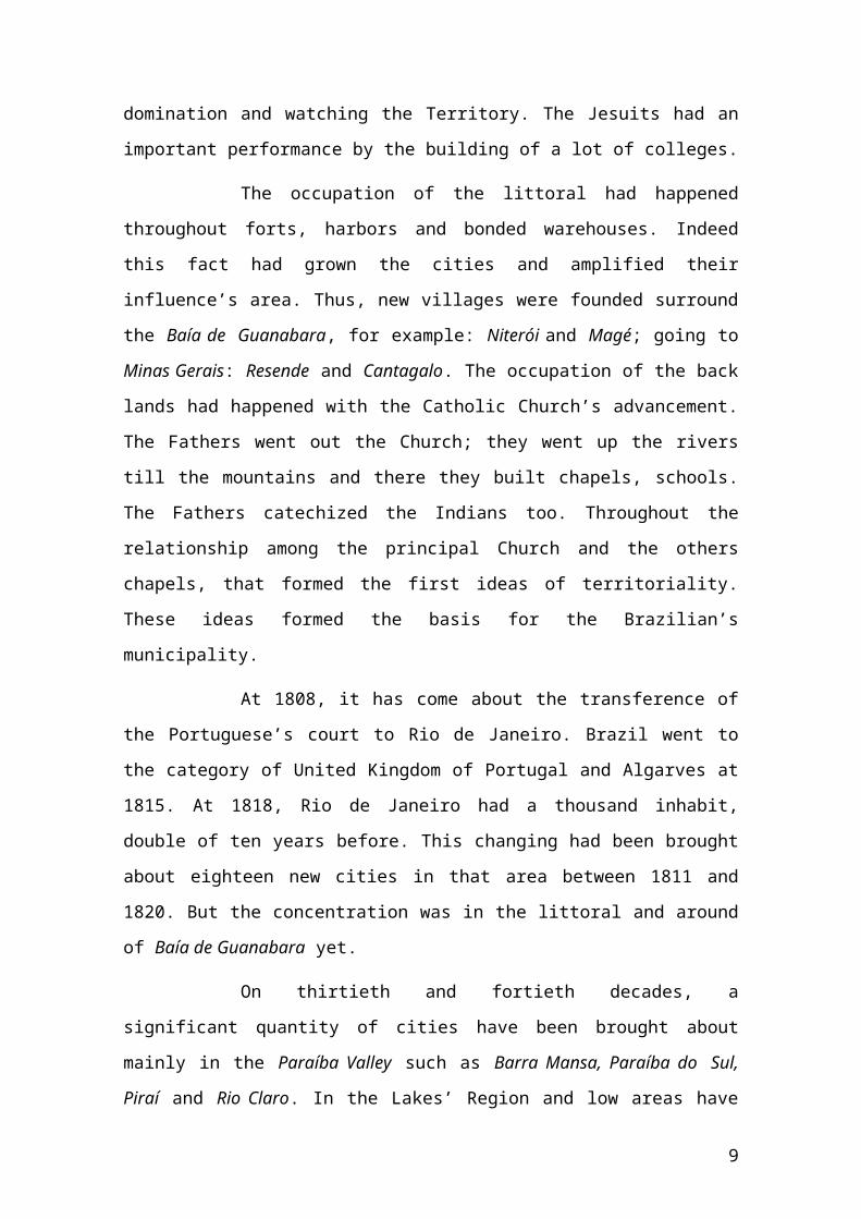
The occupation of the littoral had happened throughout forts, harbors
and bonded warehouses. Indeed this fact had grown the cities and amplified their
influence’s area. Thus, new villages were founded surround the Baía de Guanabara, for
5

example: Niterói and Magé; going to Minas Gerais: Resende and Cantagalo. The
occupation of the back lands had happened with the Catholic Church’s advancement.
The Fathers went out the Church; they went up the rivers till the mountains and there
they built chapels, schools. The Fathers catechized the Indians too. Throughout the
relationship among the principal Church and the others chapels, that formed the first
ideas of territoriality. These ideas formed the basis for the Brazilian’s municipality.
At 1808, it has come about the transference of the Portuguese’s court
to Rio de Janeiro. Brazil went to the category of United Kingdom of Portugal and
Algarves at 1815. At 1818, Rio de Janeiro had a thousand inhabit, double of ten years
before. This changing had been brought about eighteen new cities in that area between
1811 and 1820. But the concentration was in the littoral and around of Baía de
Guanabara yet.
On thirtieth and fortieth decades, a significant quantity of cities have
been brought about mainly in the Paraíba Valley such as Barra Mansa, Paraíba do Sul,
Piraí and Rio Claro. In the Lakes’ Region and low areas have been brought about
Itaboraí, Silva Jardim, Saquarema, Rio Bonito and Casimiro de Abreu. At 1850, Rio de
Janeiro has already had 30 cities.
Such impulse of cities had happened because of The Imperial
Constitution at 1824 when The Principle of Eligibility was affirmed for the Municipal
Offices that had given a certain independence in their functions and had defined as
municipality all Brazilian cities and villages too. Although, they would have a City-hall
which was responsible by the municipal and the economical government of the cities
and villages.
In the end of the empire, it took place stagnation in the creation of new
cities; after The Proclamation of the Republic at 1889, other impulse had happened and
new cities appeared. The Promulgation of The First Republican Constitution at 1891,
the states had the power of definition of the parameter to the municipal emancipation.
With the government of Getúlio Vargas, a few cities had been brought
about, only after the period Vargas period the cities had kept their autonomy restored
and the municipal politic had come back. During every time of the military government
didn’t occur any political and administrative alteration, there was just the union of Rio
6

de Janeiro’s State with Guanabara’s State at 1975. The city of Rio de Janeiro have come
back to be the State’s capital and kept the same name.
Rio de Janeiro adopted a liberal legislation to incentive the creation of
cities, after the Constitution at 1988 that delegated full powers to the cities which could
decide about emancipation. The most number of emancipations have occurred at 1993,
actually, in this decade, eleven municipalities have been brought about only in three
years.
The following tables elucidate how this dynamic of the creation of the
cities of Rio de Janeiro’s State in different moments of the Country.
Figure1: Graphic of the cities installed from 1565 to 1810
7
Evolução da malha municipal do Estado do Rio de Janeiro, no período de 1565 a 1810
0123456789
10
ano1565
ano1570
ano1580
ano1590
ano1600
ano1610
ano1620
ano1630
ano1640
ano1650
ano1660
ano1670
ano1680
ano1690
ano1700
ano1710
ano1720
ano1730
ano1740
ano1750
ano1760
ano1770
ano1780
ano1790
ano1800
ano1810
Ano
Nº d
e M
unic
ípio
s

Figure2: Graphic of the cities installed from 1820 to 2001
Figure 3 – Legend to the Graphics 1 e 2.
It was elaborated a table with the year of the creation of each city. The
breaks were placed following any chronological order established previously, but the
dynamic of the creation of the cities, as you can see in the figure 4, below:
Nº Município Ano Nº Município Ano1 Rio de Janeiro 1565 27 Casimiro de Abreu
18592 Angra dos Reis 1624 28 Petrópolis 3 Cabo Frio 1616 29 Araruama 4 Parati 1667 30 Saquarema 18615 Campos dos Goytacazes 1677 31 Santa Maria Madalena 18626 São João da Barra 32 Sapucaia 1875
8
Evolução da malha municipal do Estado do Rio de Janeiro, no período de 1820 a 2001
0102030405060708090
100
ano1820
ano1830
ano1840
ano1850
ano1860
ano1870
ano1880
ano1890
ano1900
ano1910
ano1920
ano1930
ano1940
ano1950
ano1960
ano1970
ano1980
ano1990
ano2001
Ano
Nº d
e M
unic
ípio
s
Colônia
Reino Unido
1º Reinado
Regências
2º Reinado
República Velha
Estado Novo
República Nova
Regime Militar
Nova República
Legenda
7 Cachoeiras de Macacu 1679 33 Carmo 18838 Magé 1789 34 Santo Antônio de Pádua9 Resende 1801 35 Itaperuna 188910 Macaé 1814 36 Rio das Flores 189011 Cantagalo 37 Barra do Piraí 12 Maricá 1815 38 Itaocara
189113 Niterói 1819 39 Duas Barras 14 Itaguaí 1820 40 Teresópolis 15 Nova Friburgo 41 Trajano de Morais 16 Valença 1826 44 Sumidouro
189217 Barra Mansa
1833
43 Mangaratiba 18 Itaboraí 44 São Sebastião do Alto 19 Nova Iguaçu 45 São Pedro da Aldeia
189320 Vassouras 46 Bom Jardim 21 Paraíba do Sul 47 Cambuci 22 Piraí 1838 48 São Gonçalo 23 Silva Jardim 1843 49 Miracema 193624 Rio Bonito 1846 50 Bom Jesus do Itabapoana 193925 Rio Claro 1850 51 Três Rios 52 Duque de Caxias
194426 São Fidélis 1855 53 Cordeiro
Nº Município Ano Nº Município Ano54 Porciúncula
1947
82 Armação dos Búzios
1997
55 Nilópolis 83 São José de Ubá 56 São João de Meriti 84 Seropédica 57 Natividade 85 Iguaba Grande 58 Conceição de Macabu 1953 86 Tanguá 59 Mendes 87 São Francisco de Itabapoana60 Volta Redonda 1955 88 Pinheiral 61 Miguel Pereira 1956 89 Porto Real 62 Paracambi 1960 90 Carapebus 63 Laje do Muriaé 1963 91 Macuco 64 Engenheiro Paulo de Frontin 1964 92 Mesquita 200165 Arraial do Cabo 1986 66 Italva 67 Paty do Alferes
1989
68 São José do vale do Rio Preto 69 Itatiaia 70 Quissamã 1990 71 Cardoso Moreira 1993 72 Belford Roxo 73 Guapimirim
9

74 Queimados 75 Japeri 76 Comendador Levy Gasparian 77 Verre-Sai 78 Quatis 79 Areal 80 Aperibé 81 Rio das Ostras
This research is still in proceeding and as an example, we point out at
foot, an analysis accomplished to the city of Itaguaí, which name was originated of
tupi’s language of the city’s elders, and also the material of the research of the previous
geographical names of the city of Miguel Pereira, collected in material cartographic
historical, where is reported the previous names of this city.
Analysis of the city of Itaguaí:
City: Itaguaí Historical Origin: The Populating began in the century XVII with the
wood inhabitant that was driving to the continent from the Itacuruçá Isle, following the missionaries that started the populating. At 1818 was called São Francisco Xavier Village. The fertile lands have prospered till the final the century XIX.
Ethnic-linguistic Origin(Europe, Native People, African and Hybrid)Etymology: Tupi- TAGUA= rock ou argil of colors. Different
TAGUAHY- TAGUA-Y- RIO do TAUÁ = Barreiros Rivers Motivation: Hydrotoponymic
City of Miguel Pereira:
10

Part of the historical map is representing Barreiro’s toponymy (the ancient name of Miguel Pereira) Font: Historical Arquive of the Army
Part of the letter of 1858. BELÉM, now JAPERI. Font: Historical Arquive of the Army
3. FINAL CONSIDERATIONS
The construction of an evolutionary learning the Toponymy of
fluminenses territory since the century XVI to the year of 2003 fills in a scientific
knowledge camp which works with memory and spacing. It presents to the investigator
a historical redemption of space-temporal which will serve as a historical and
cartographical basis to researches in diverse areas like geography, history, sociology,
anthropology, linguistic etc.
11

The extensive historical statistic and the temporal organization of the
municipal evolution found thereby the object of the learning of this research in
proceeding yet.
BIBLIOGRAPHY
ABREU, Antônio Isaias da Costa. Municípios e Topônimos Fluminenses: História e Memória. Imprensa Oficial do Estado do Rio de Janeiro, 1994.
FAPERJ. Involução Cartográfica do Estado do Rio de Janeiro. Projeto – Processo E-26/170.795/01, Governo do Estado do Rio de Janeiro, Fundação de Amparo a Pesquisa do Estado do rio de Janeiro, 2001.
MATTOS, Lúcio Gonçalves de, et al. Síntese da Documentação Histórico-Administrativa e Geográfica dos Estados do Brasil. IBGE (Instituto Brasileiro de Geografia e Estatística). Rio de Janeiro, 1995
NORONHA, Rudolf de. Movimentos de Emancipação Municipal no Estado do Rio de Janeiro a partir de 1985.
Monografia submetida ao Departamento de Geografia como requisito para a obtenção do Grau de Geógrafo. Rio de Janeiro, 1993.
SANTOS, Cláudio João Barreto dos. Resgate ao Longo da Linha do Tempo dos
Nomes Geográficos/ da Geonímia do Estado do Rio de Janeiro: do Século XVI aos primórdios do século XXI .
Programa pós-graduação em Geografia – PPGG. Exame oral de qualificação, 2005.
SOUZA, Luiz de. Anuário Geográfico do Estado do Rio de Janeiro. IBGE (Instituto Brasileiro de Geografia e Estatística). Rio de Janeiro. 1964/1965.
12

13