Embed Size (px)
Citation preview
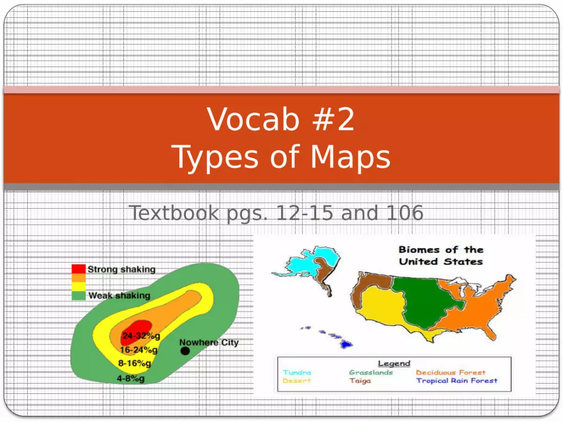
Textbook pgs. 12-15 and 106
Vocab #2Types of Maps
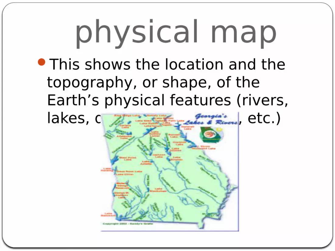
physical mapThis shows the location and the
topography, or shape, of the Earth’s physical features (rivers, lakes, deserts, mountains, etc.)
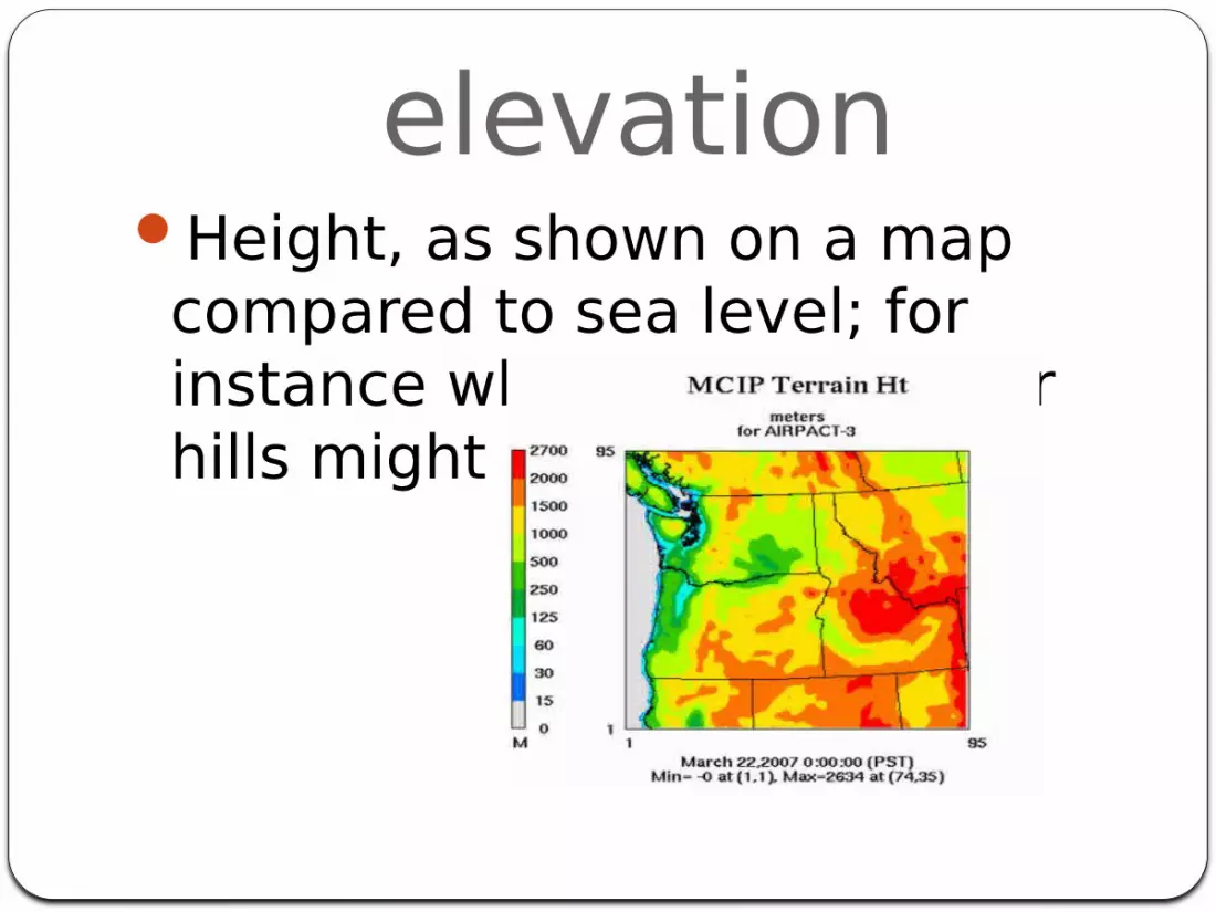
elevationHeight, as shown on a map compared to sea level; for instance where mountains or hills might be.
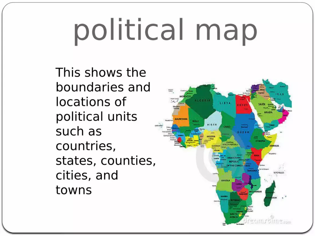
political mapThis shows the boundaries and locations of political units such as countries, states, counties, cities, and towns
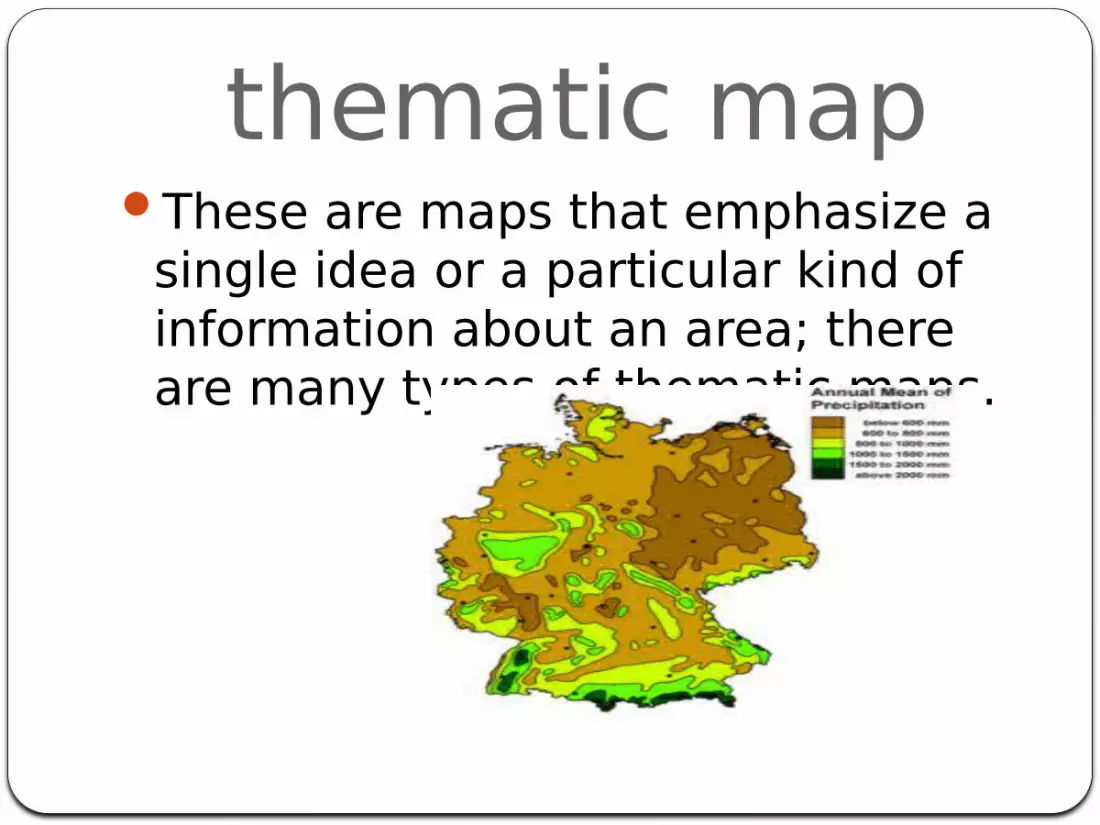
thematic mapThese are maps that emphasize a
single idea or a particular kind of information about an area; there are many types of thematic maps.
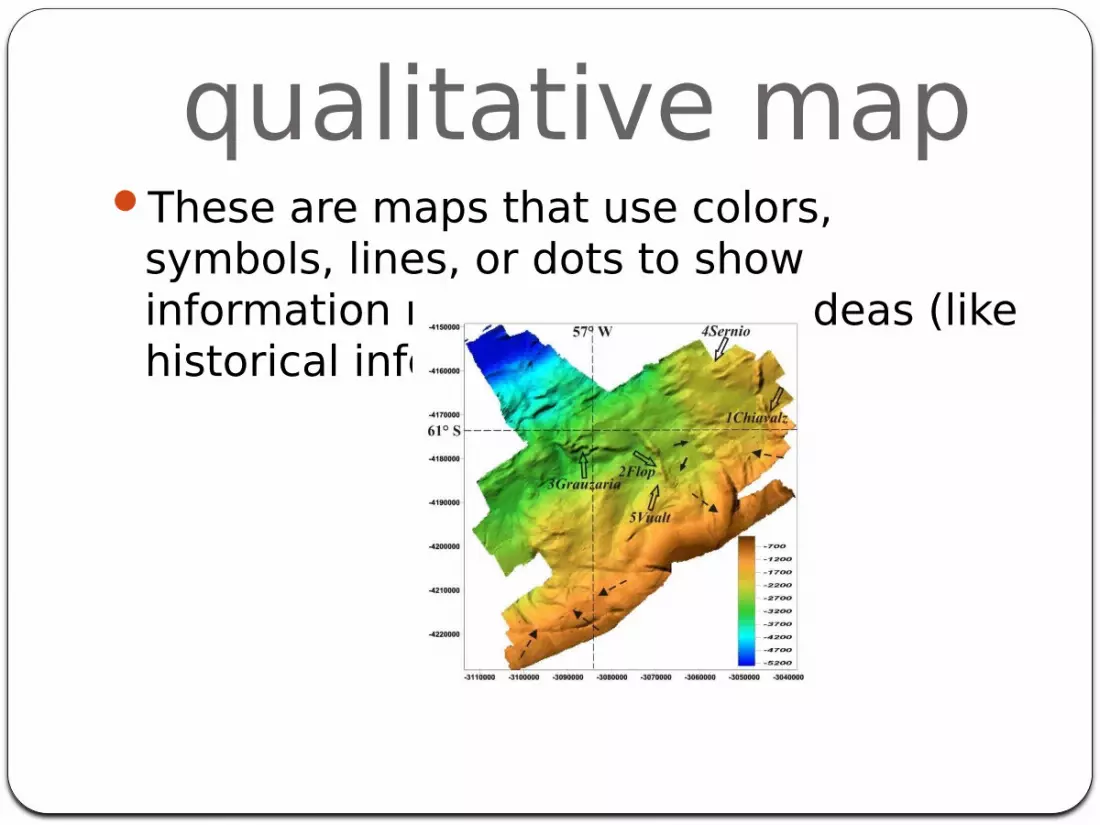
qualitative mapThese are maps that use colors,
symbols, lines, or dots to show information related to specific ideas (like historical information.)
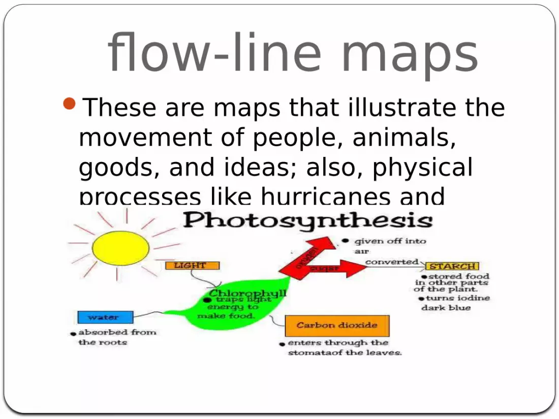
flow-line mapsThese are maps that illustrate the
movement of people, animals, goods, and ideas; also, physical processes like hurricanes and glaciers.
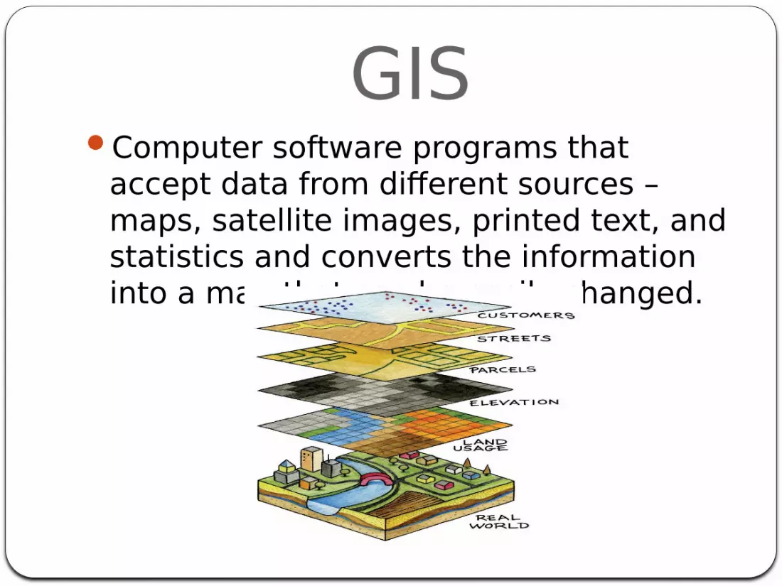
GISComputer software programs that
accept data from different sources – maps, satellite images, printed text, and statistics and converts the information into a map that can be easily changed.

natural resourcesElements from the Earth that are not made by people but can be used by them for food, fuel, or other necessities
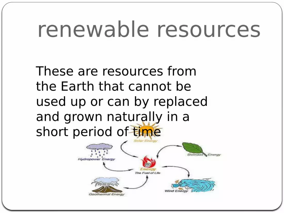
renewable resourcesThese are resources from the Earth that cannot be used up or can by replaced and grown naturally in a short period of time
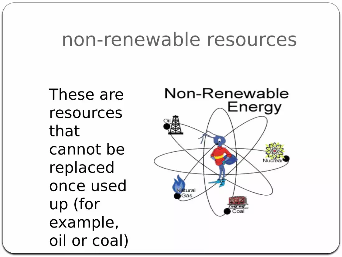
non-renewable resources
These are resources that cannot be replaced once used up (for example, oil or coal)