Embed Size (px)
Citation preview
TECHNOLOGY FOR TEACHING:
HANDHELD GPS AND EARTHCACHING
Dr. Heather PetcovicDepartment of Geosciences and
the Mallinson Institute for Science Education
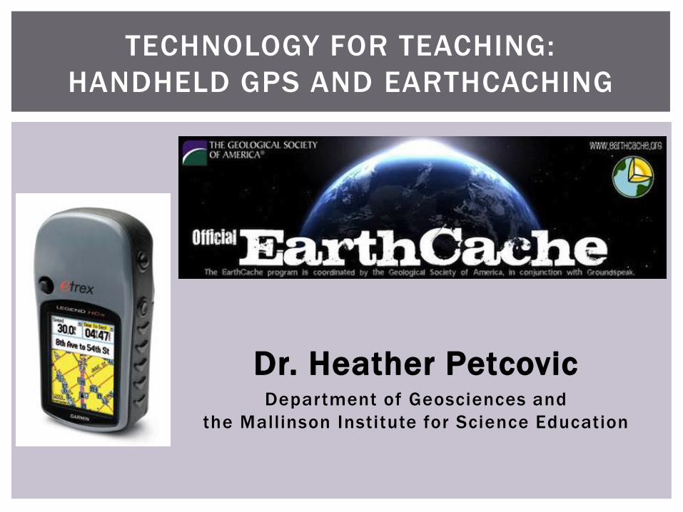
TECHNOLOGY FOR TEACHING:
HANDHELD GPS AND EARTHCACHING
Today’s Agenda
What is EarthCaching?
What is GPS?
Do an example EarthCache
How can EarthCaching be used to
teach science (and other subjects)?
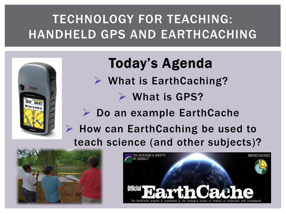
GEOCACHING
An outdoor treasuring hunting game
1. Find a geocache online
http://www.geocaching.com/
2. Navigate to the coordinates
3. Find the hidden container
4. Sign the logbook (or take/
leave a “treasure”)
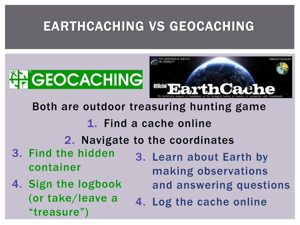
EARTHCACHING VS GEOCACHING
Both are outdoor treasuring hunting game
1. Find a cache online
2. Navigate to the coordinates
3. Find the hidden
container
4. Sign the logbook
(or take/leave a
“treasure”)
3. Learn about Earth by
making observations
and answering questions
4. Log the cache online
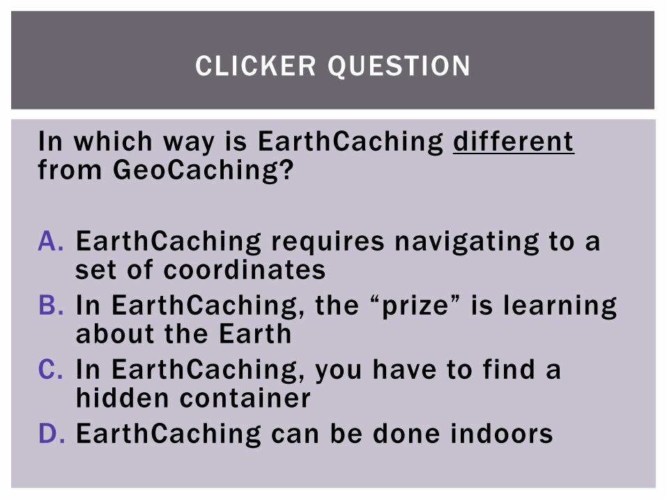
CLICKER QUESTION
In which way is EarthCaching differentfrom GeoCaching?
A. EarthCaching requires navigating to a set of coordinates
B. In EarthCaching, the “prize” is learning about the Earth
C. In EarthCaching, you have to find a hidden container
D. EarthCaching can be done indoors
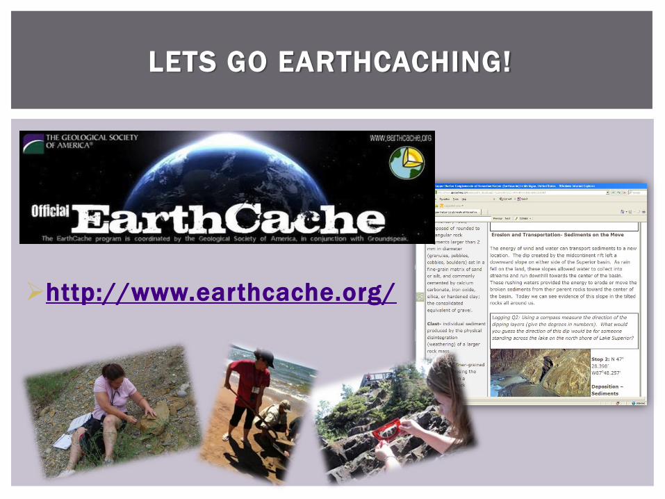
LETS GO EARTHCACHING!
http://www.earthcache.org/
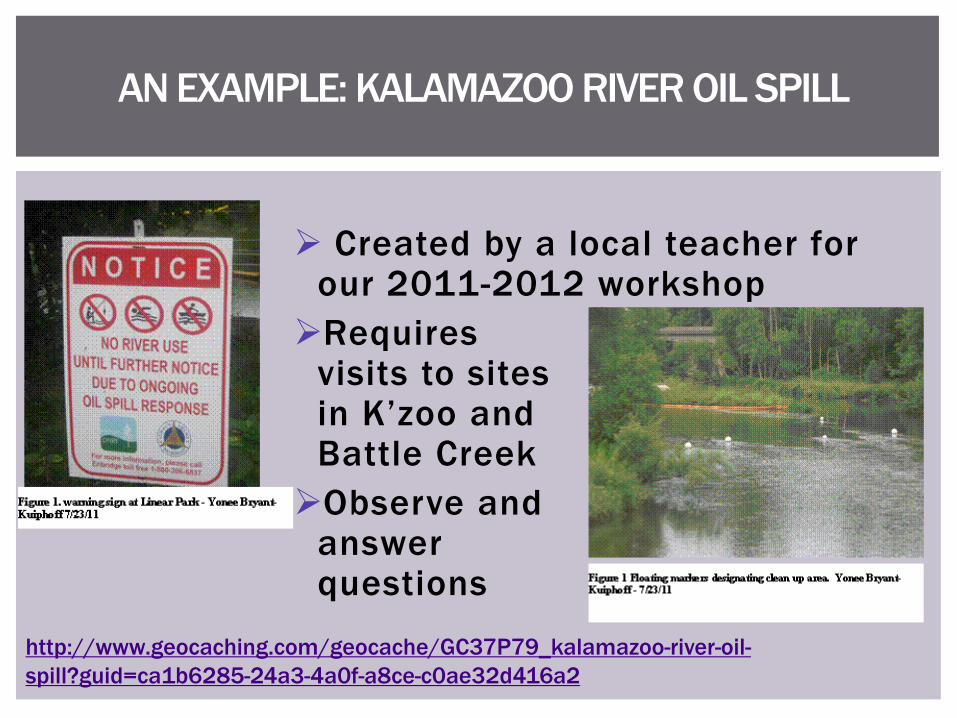
AN EXAMPLE: KALAMAZOO RIVER OIL SPILL
Created by a local teacher for our 2011-2012 workshop
Requires visits to sitesin K’zoo and Battle Creek
Observe and answer questions
http://www.geocaching.com/geocache/GC37P79_kalamazoo-river-oil-
spill?guid=ca1b6285-24a3-4a0f-a8ce-c0ae32d416a2
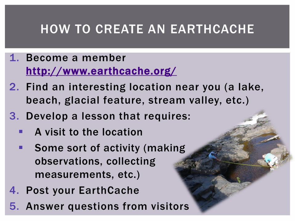
HOW TO CREATE AN EARTHCACHE
1. Become a member
http://www.earthcache.org/
2. Find an interesting location near you (a lake,
beach, glacial feature, stream valley, etc.)
3. Develop a lesson that requires:
A visit to the location
Some sort of activity (making
observations, collecting
measurements, etc.)
4. Post your EarthCache
5. Answer questions from visitors
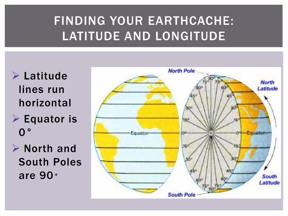
FINDING YOUR EARTHCACHE:
LATITUDE AND LONGITUDE
Latitude
lines run
horizontal
Equator is
0°
North and
South Poles
are 90°
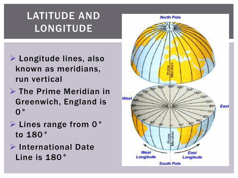
Longitude lines, also
known as meridians,
run vertical
The Prime Meridian in
Greenwich, England is
0°
Lines range from 0°
to 180°
International Date
Line is 180°
LATITUDE AND
LONGITUDE
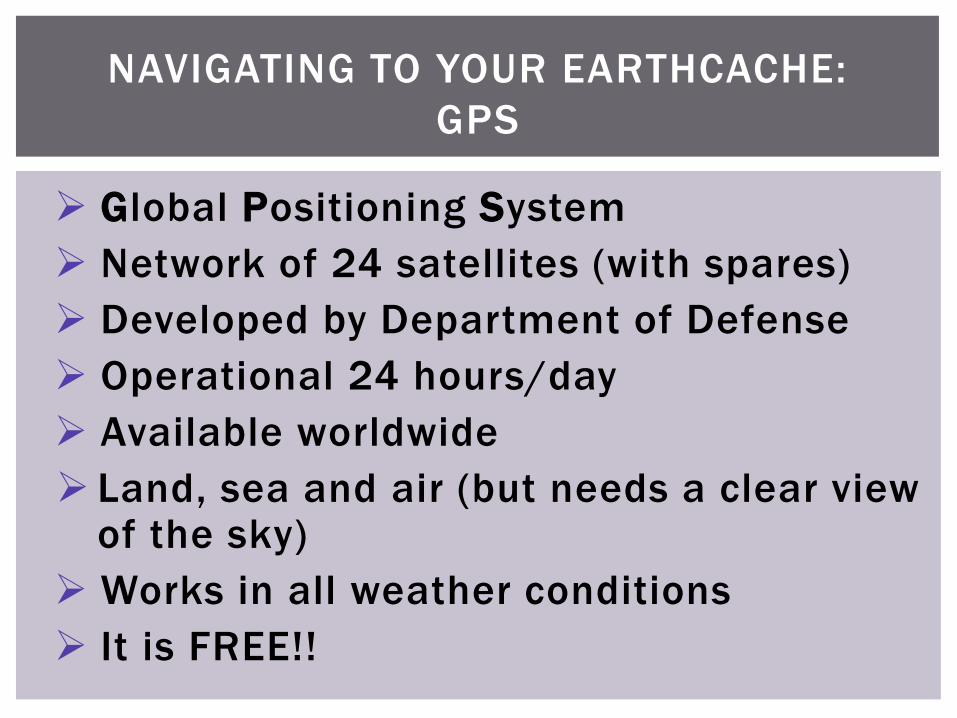
NAVIGATING TO YOUR EARTHCACHE:
GPS
Global Positioning System
Network of 24 satellites (with spares)
Developed by Department of Defense
Operational 24 hours/day
Available worldwide
Land, sea and air (but needs a clear view of the sky)
Works in all weather conditions
It is FREE!!
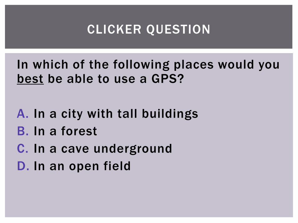
CLICKER QUESTION
In which of the following places would you best be able to use a GPS?
A. In a city with tall buildings
B. In a forest
C. In a cave underground
D. In an open field
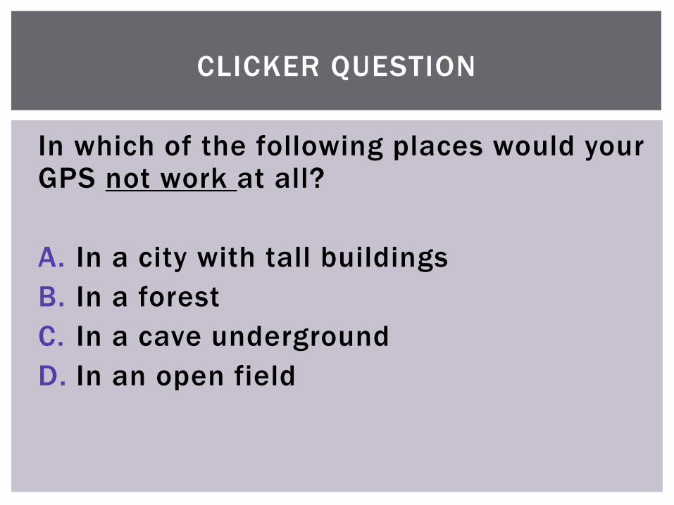
CLICKER QUESTION
In which of the following places would your GPS not work at all?
A. In a city with tall buildings
B. In a forest
C. In a cave underground
D. In an open field
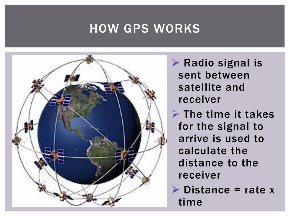
HOW GPS WORKS
Radio signal is sent between satellite and receiver
The time it takes for the signal to arrive is used to calculate the distance to the receiver
Distance = rate x time
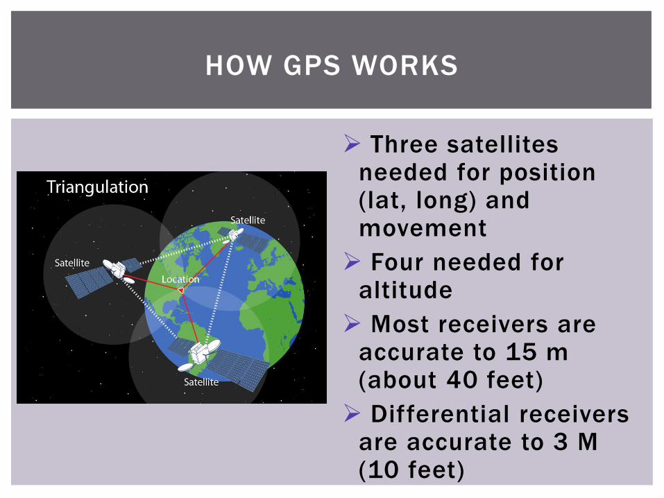
HOW GPS WORKS
Three satellites needed for position (lat, long) and movement
Four needed for altitude
Most receivers are accurate to 15 m (about 40 feet)
Differential receivers are accurate to 3 M (10 feet)
CLICKER QUESTION
Which type of signal does a GPS use?
A. Radio
B. Microwave
C. Cellular
D. Sonic
E. Infrared
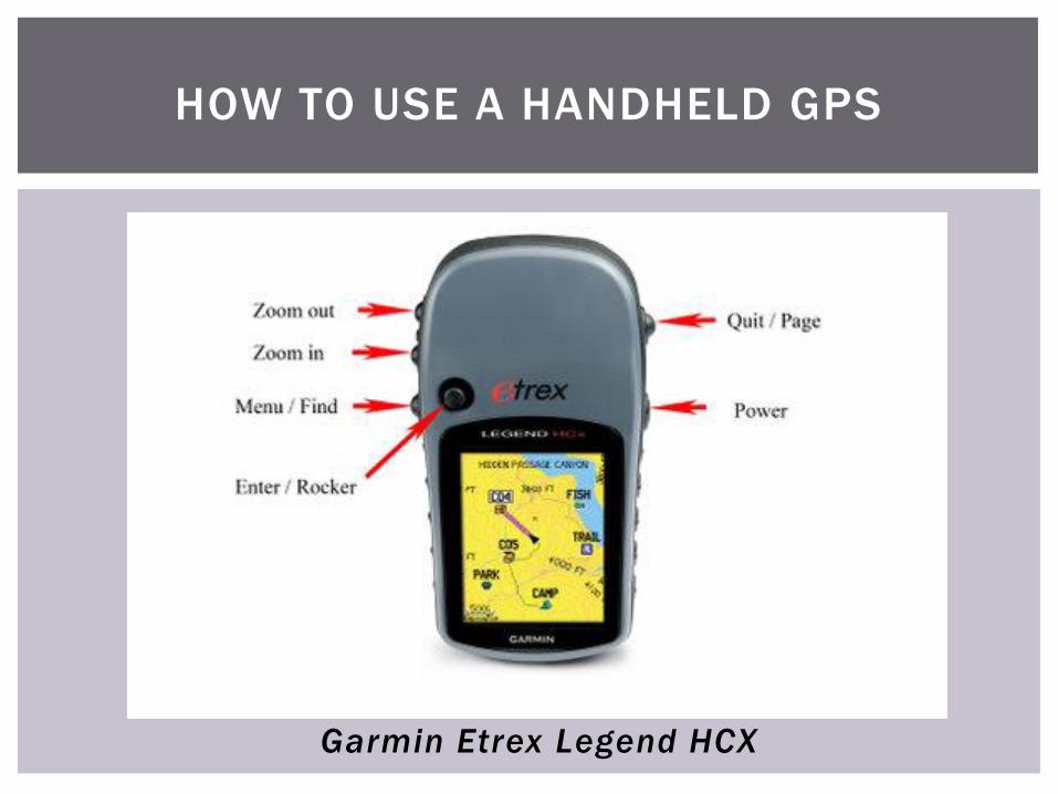
HOW TO USE A HANDHELD GPS
Garmin Etrex Legend HCX
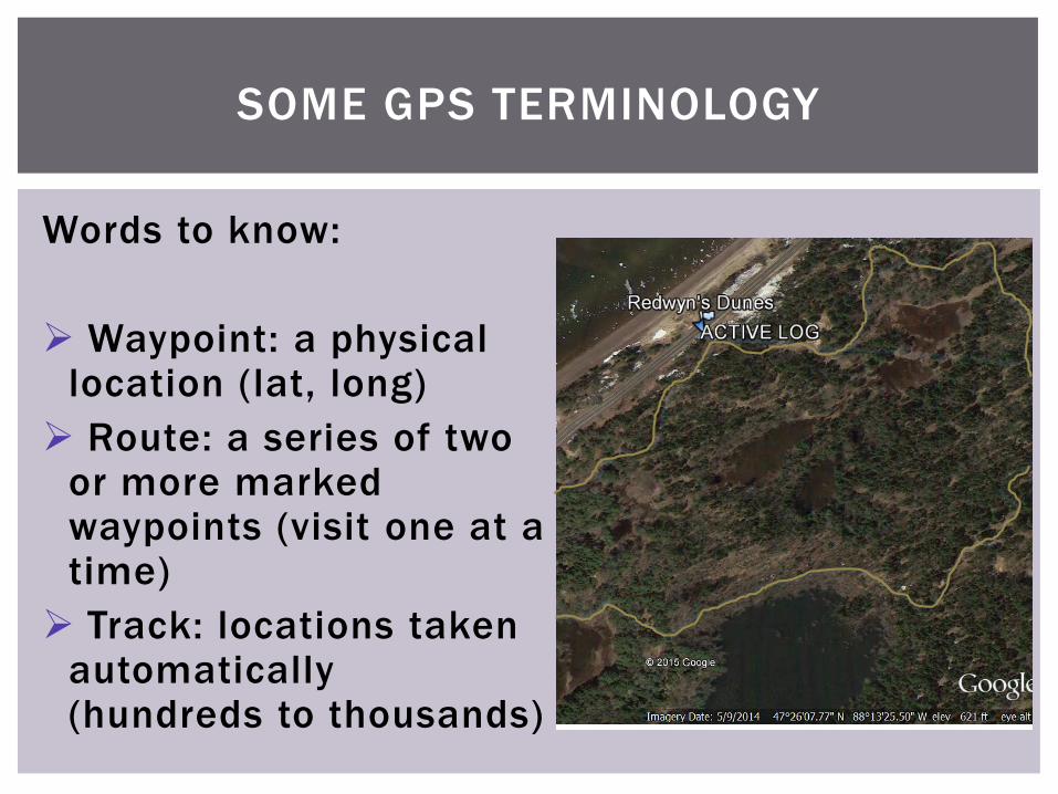
SOME GPS TERMINOLOGY
Words to know:
Waypoint: a physical location (lat, long)
Route: a series of two or more marked waypoints (visit one at a time)
Track: locations taken automatically (hundreds to thousands)
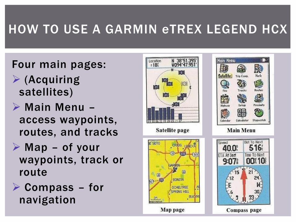
HOW TO USE A GARMIN eTREX LEGEND HCX
Four main pages:
(Acquiring satellites)
Main Menu –access waypoints, routes, and tracks
Map – of your waypoints, track or route
Compass – for navigation
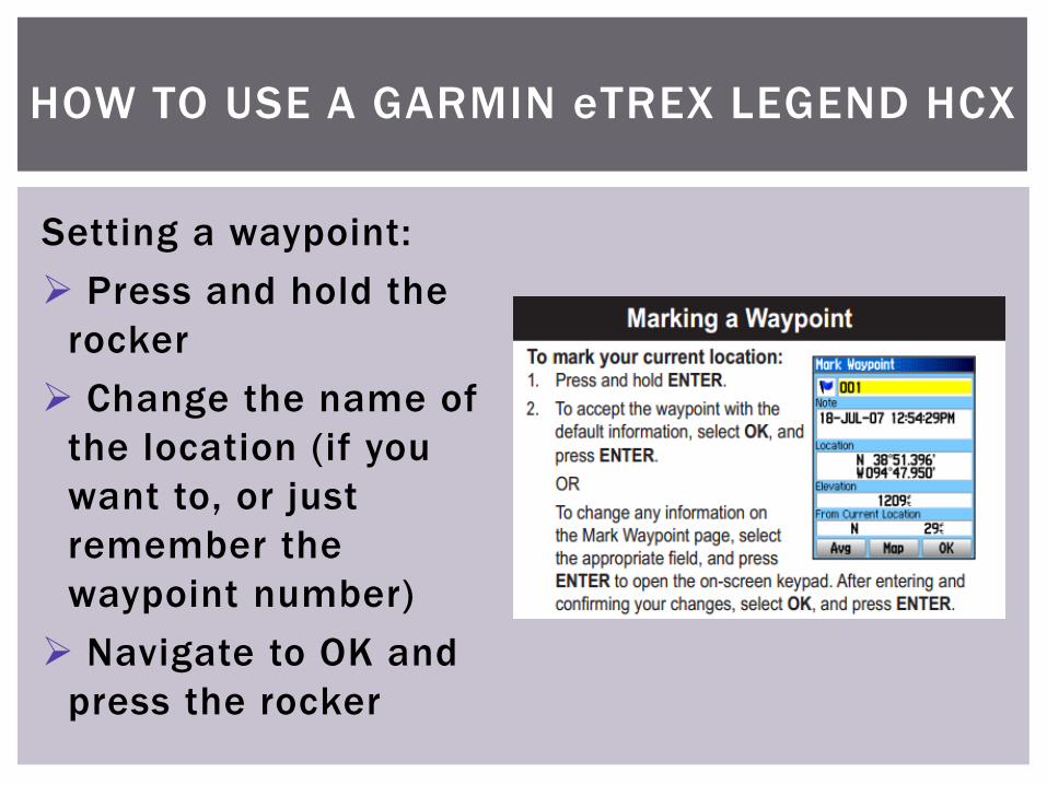
Setting a waypoint:
Press and hold the
rocker
Change the name of
the location (if you
want to, or just
remember the
waypoint number)
Navigate to OK and
press the rocker
HOW TO USE A GARMIN eTREX LEGEND HCX
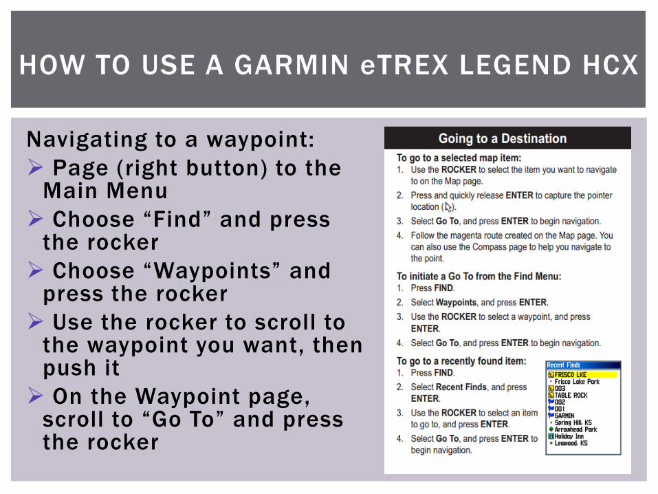
Navigating to a waypoint:
Page (right button) to the Main Menu
Choose “Find” and press the rocker
Choose “Waypoints” and press the rocker
Use the rocker to scroll to the waypoint you want, then push it
On the Waypoint page, scroll to “Go To” and press the rocker
HOW TO USE A GARMIN eTREX LEGEND HCX
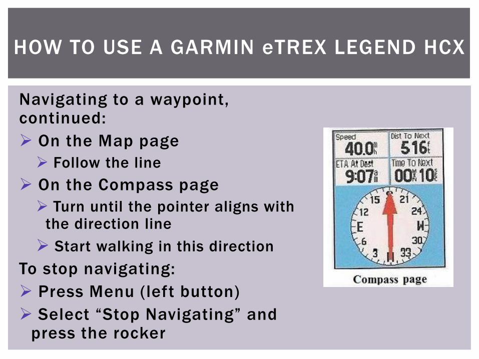
Navigating to a waypoint, continued:
On the Map page
Follow the line
On the Compass page
Turn until the pointer aligns with the direction line
Start walking in this direction
To stop navigating:
Press Menu (left button)
Select “Stop Navigating” and press the rocker
HOW TO USE A GARMIN eTREX LEGEND HCX

Now for the fun part!
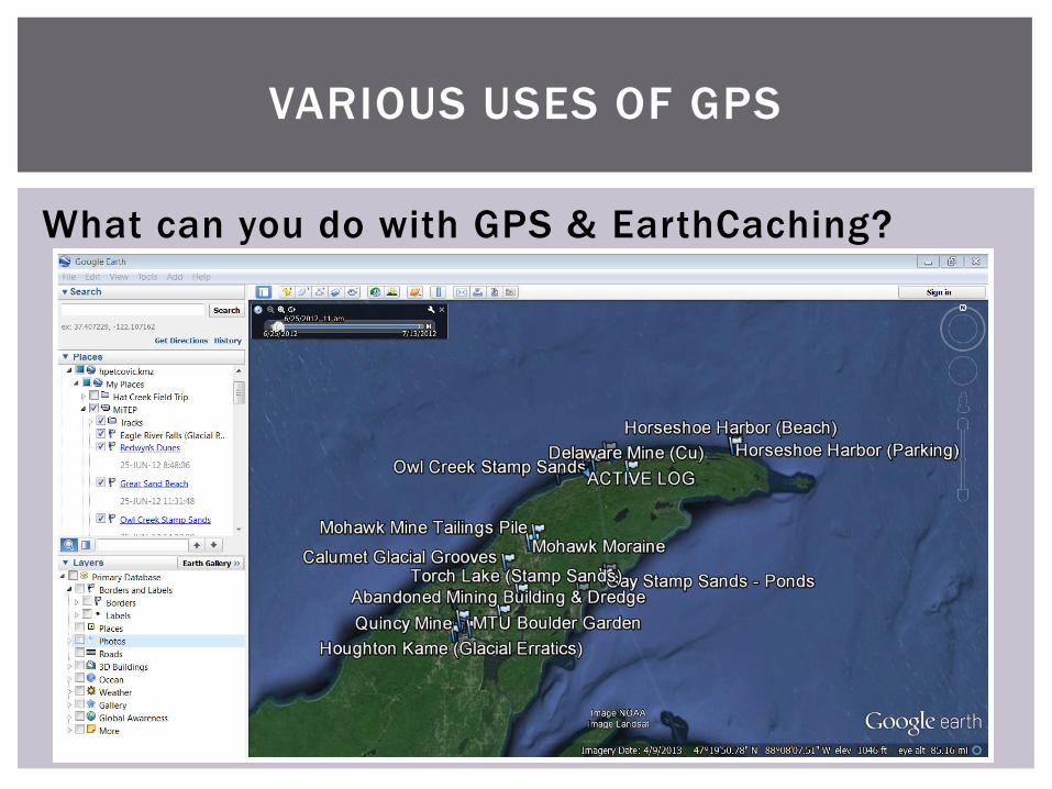
VARIOUS USES OF GPS
What can you do with GPS & EarthCaching?
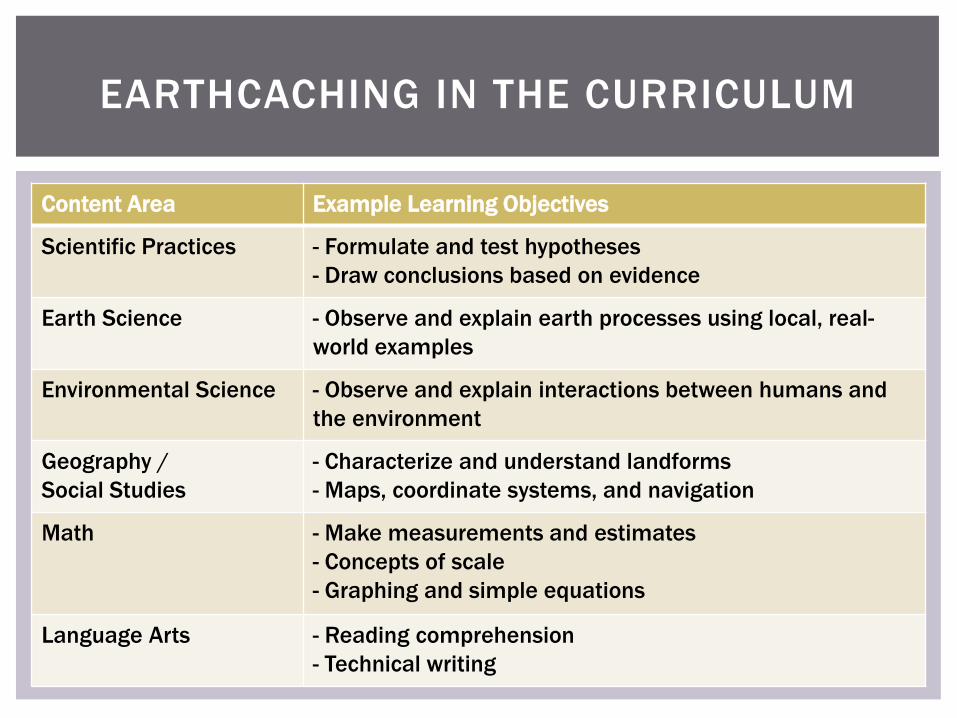
EARTHCACHING IN THE CURRICULUM
Content Area Example Learning Objectives
Scientific Practices - Formulate and test hypotheses
- Draw conclusions based on evidence
Earth Science - Observe and explain earth processes using local, real-
world examples
Environmental Science - Observe and explain interactions between humans and
the environment
Geography /
Social Studies
- Characterize and understand landforms
- Maps, coordinate systems, and navigation
Math - Make measurements and estimates
- Concepts of scale
- Graphing and simple equations
Language Arts - Reading comprehension
- Technical writing

CLICKER QUESTION
EarthCaching could be used to meet state or national standards in which areas?
A. Earth Science
B. Environmental Science
C. Geography
D. Math
E. All of these and more!

TECHNOLOGY FOR TEACHING:
HANDHELD GPS AND EARTHCACHING
Any questions?