Embed Size (px)
Citation preview
Simulation-based Dynamic Traffic
Assignment for Planning Applications
Daniel Morgan Qi Yang, PhD Howard Slavin, PhD Caliper Corporation
November 19, 2015

Context: Motivation
• Technical
– Many transportation planning problems require dynamic models
• Practical
– Effective transportation planning solutions require consensus/buy-in

Context: Technical Motivation
• Dynamic Traffic Assignments are needed for analyzing pricing strategies, capacity improvements, and ITS
• Congested travel times form the basis for crucial planning model estimation and application
• Static assignments produce biased travel times and biased models and forecasts
• These compromises are no longer necessary or justifiable
• …
Context: Technical Motivation (cont.)
• …
• Operational fidelity needed for traffic engineering work
• Many projects and traffic management measures have impacts that cannot be estimated with planning models
• These require detailed microsimulation in which lane level behavior is captured

Context: Practical Motivation
• Effective deployment hinges on usability, robustness
• DTAs lend themselves better to dynamic visualization and animation
• A more compelling tool for engaging stakeholders and the public

Context: Background
• Early experiments with macro DTA
• TRANSIMS & MITSIM
• Meso models-Integration, Dynasmart, & DYNAMIT
• Microsimulation thought to be impossible at the regional scale
• The TransModeler hybrid approach: Macro, Meso, and Micro in any combination on the same network
• 4-D lane level GIS for efficiency in simulation development
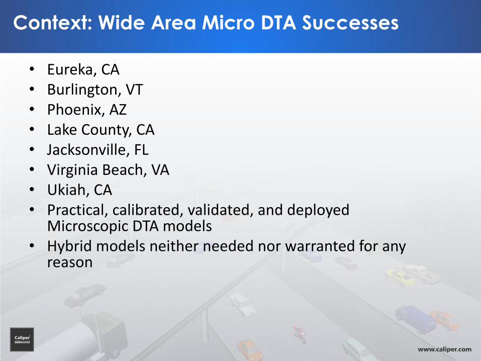
Context: Wide Area Micro DTA Successes
• Eureka, CA • Burlington, VT • Phoenix, AZ • Lake County, CA • Jacksonville, FL • Virginia Beach, VA • Ukiah, CA • Practical, calibrated, validated, and deployed
Microscopic DTA models • Hybrid models neither needed nor warranted for any
reason

Context: Wide Area Micro DTA Successes
• Eureka, CA • Burlington, VT • Phoenix, AZ • Lake County, CA • Jacksonville, FL • Virginia Beach, VA • Ukiah, CA • Practical, calibrated, validated, and deployed
Microscopic DTA models • Hybrid models neither needed nor warranted for any
reason

Context: Corridor Microscopic DTA Successes
• 495 Express Lanes (Northern VA) • 95 Express Lanes (Miami) • 95 Express Lanes (Northern VA) • I-4 (Orlando) • C-470 (Denver) • I-70 Mountain Corridor (West of Denver) • Purposes varied: from practical applications
to T&R to research • Dynamic pricing a theme

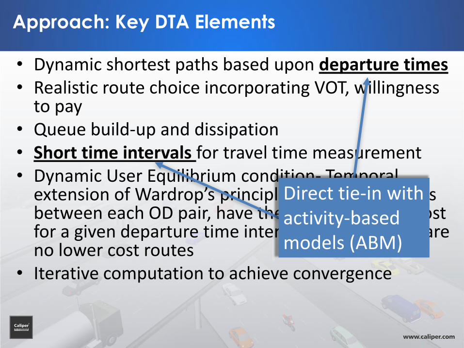
Approach: Key DTA Elements
• Dynamic shortest paths based upon departure times • Realistic route choice incorporating VOT, willingness
to pay • Queue build-up and dissipation • Short time intervals for travel time measurement • Dynamic User Equilibrium condition- Temporal
extension of Wardrop’s principle that all used paths between each OD pair, have the same minimum cost for a given departure time interval and that there are no lower cost routes
• Iterative computation to achieve convergence
Direct tie-in with activity-based models (ABM)

Approach: Key DTA Elements
• Dynamic shortest paths based upon departure times • Realistic route choice incorporating VOT, willingness
to pay • Queue build-up and dissipation • Short time intervals for travel time measurement • Dynamic User Equilibrium condition- Temporal
extension of Wardrop’s principle that all used paths between each OD pair, have the same minimum cost for a given departure time interval and that there are no lower cost routes
• Iterative computation to achieve convergence
While rooted in familiar trip-based model theory

Approach: Key DTA Elements
• Dynamic shortest paths based upon departure times • Realistic route choice incorporating VOT, willingness
to pay • Queue build-up and dissipation • Short time intervals for travel time measurement • Dynamic User Equilibrium condition- Temporal
extension of Wardrop’s principle that all used paths between each OD pair, have the same minimum cost for a given departure time interval and that there are no lower cost routes
• Iterative computation to achieve convergence
Key advantages

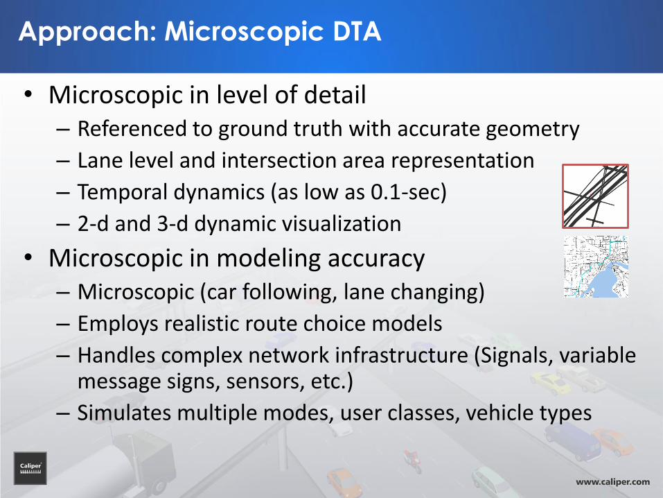
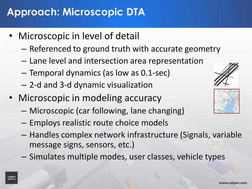
Approach: Microscopic DTA
• Microscopic in level of detail – Referenced to ground truth with accurate geometry
– Lane level and intersection area representation
– Temporal dynamics (as low as 0.1-sec)
– 2-d and 3-d dynamic visualization
• Microscopic in modeling accuracy – Microscopic (car following, lane changing)
– Employs realistic route choice models
– Handles complex network infrastructure (Signals, variable message signs, sensors, etc.)
– Simulates multiple modes, user classes, vehicle types

Implementation: Jacksonville, FL
Region-wide, Six-county coverage

Implementation: Jacksonville, FL
Parcel-level activity location

Implementation: Jacksonville, FL
Parcel-level activity location
Major and local streets and centroid connectors
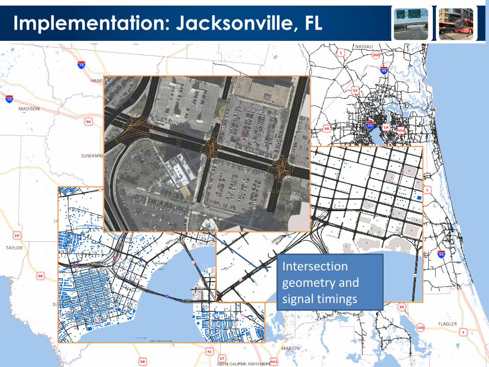
Implementation: Jacksonville, FL
Parcel-level activity location Intersection
geometry and signal timings

Implementation: Framework
• Parcel-level origins and destinations – 492,684 parcels – Point-to-point route choice – Trips produced by DAYSIM
• Zonal truck and external traffic – 2,578 TAZs – Zone-to-zone route choice – Matrices produced by CUBE
• Integration/Linkage – DAYSIM – CUBE

Implementation: Challenges

Implementation: Challenges
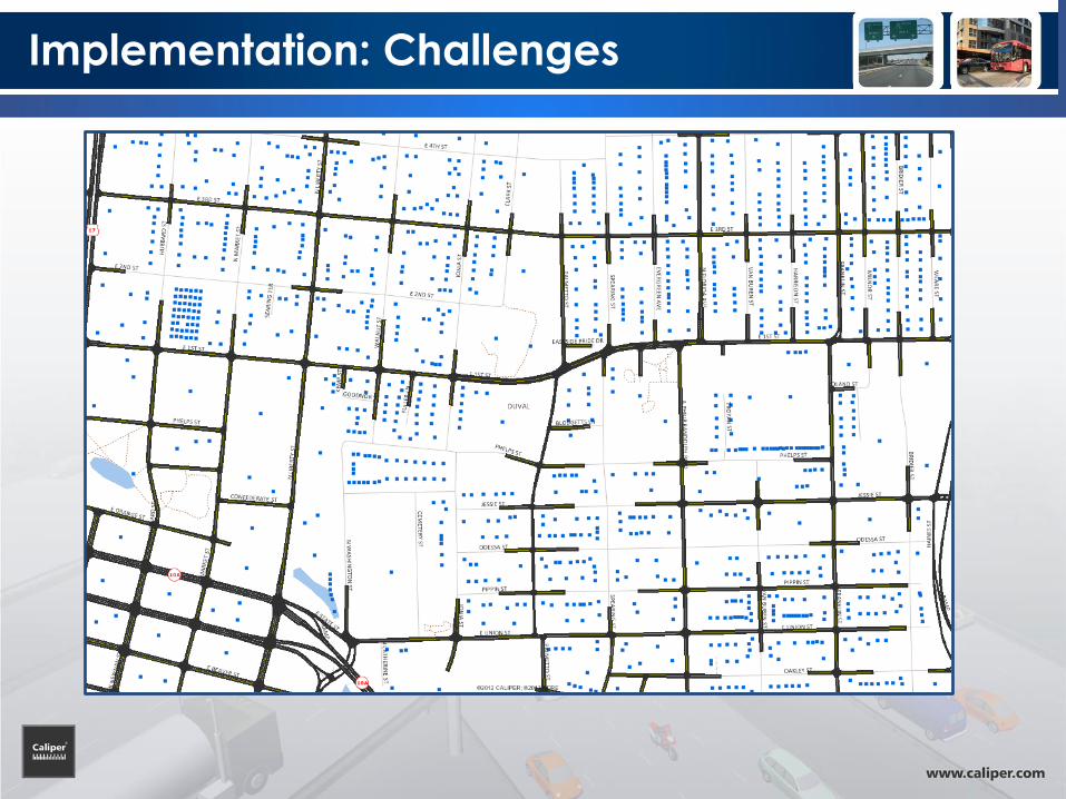
Implementation: Challenges

Implementation: Challenges

Implementation: Challenges

Implementation: Challenges

Implementation: Challenges

Implementation: Challenges

Implementation: Features
• Read DAYSIM trips without temporal aggregation
• Handle parcel locations without spatial aggregation
• Use dense street network
– Realistic accessibility, connectivity
• Simulate multiple travel modes
• Possess practical running times

Implementation: Input
• Demand: Disaggregate trip tables – Detailed demographic and trip information – Approximately 650K trips in 3-hour AM peak [6:00-9:00]

Implementation: Convergence

Implementation: Running Time
• DTA running time per iteration – Approx. 50 minutes overall
– 3.1 GHz Intel Xeon Dual-Core 64-Bit CPU, 64 GB RAM

Implementation: Next Steps
• Model Development Review
– Testing
– Signal timings validation
– Running time performance evaluation
• Model Calibration
– Compare DTA volumes with counts
• Software integration/linkage
– Refine
– Deliver
– Support