Embed Size (px)
Citation preview

Serving NASAServing NASA’’s Data To the s Data To the GIS Community:GIS Community:
An An ArcIMS Mapserver ArcIMS Mapserver ExampleExample
Presented by:Tyler Stevens, GIS Coordinator
NASA’s Global Change Master Directory (GCMD)ESRI Federal User Conference February 2, 2005
Realization of Data Sharing and Distribution Track
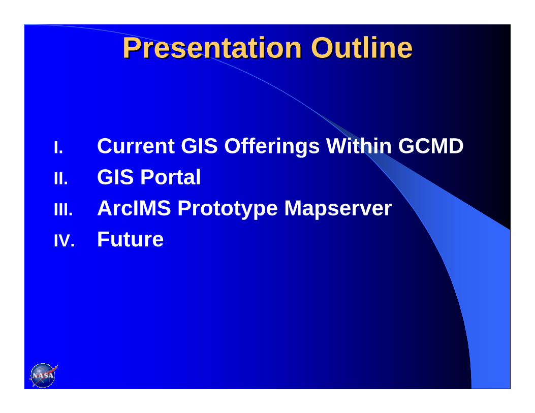
Presentation OutlinePresentation Outline
I. Current GIS Offerings Within GCMDII. GIS Portal III. ArcIMS Prototype MapserverIV. Future

I. Current GIS Offerings Within GCMDI. Current GIS Offerings Within GCMD
Access metadata (data set descriptions) records describing GIS datasets through Earth science discipline and free text searches.
Access shapefiles, Arc/Info export files, E00 interchange files, Mr. SID files and geoTIFFs directly from the metadata.
Access web mapping services, statistical applications, visualization/image processing tools and more from the metadata.
Publish your GIS metadata using online tools at http://globalchange.nasa.gov/User/authoring.html

GCMD Search Interface

Data Analysis & VisualizationGIS Tools and Software That You Can Use
Data Analysis & Visualization GIS Content Type
Web Mapping Services16%
GIS Models3%
Web Feature Services7%
Geographic Information Systems (GIS)
34%
Visualization/Image Processing Systems
38%
Web Coverage Services2%
Geographic InformationSystems (GIS)
Visualization/ImageProcessing Systems
Web Coverage Services
Web Feature Services
Web Mapping Services
GIS Models

II. GIS PortalExperimental metadata directory containing NASA’s GIS data sets.

Accessing the the Mapserver Through Through the GIS Portalthe GIS Portal
Free Text Search for Fire and Alaska Metadata records for Fire and Alaska

MODIS Imagery metadata Link to Mapserver
Mapserver showing MODIS Imagery with Alaska border

“Direct Access” to NASA GIS Data Metadata with access to data GIS Data Page
Downloaded Data in ArcGIS
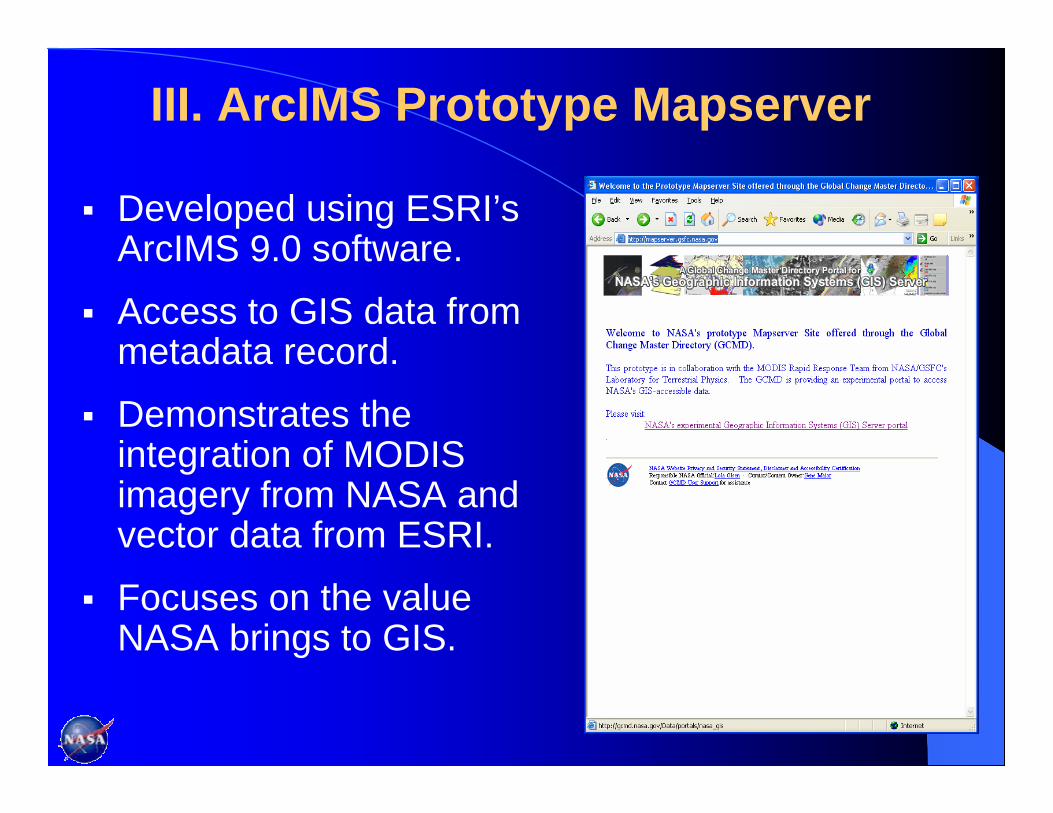
III. ArcIMS Prototype Mapserver
Developed using ESRI’s ArcIMS 9.0 software.
Access to GIS data from metadata record.
Demonstrates the integration of MODIS imagery from NASA and vector data from ESRI.
Focuses on the value NASA brings to GIS.

Benefits of the Benefits of the Mapserver “Provides “Out-of-the-box”functionality.
Provides web publishing and data query capabilities.
Allows integration of data from multiple sources.
Provides scalable architecture.
“Standards based” allowing communication through ArcXML and Open Geospatial Consortium (OGC) specifications.
ArcIMS Architecture

Current Functionality: What We’ve Done
Provide link from the metadata record to the mapserver.
Access current map services through a drop-down box.
Retrieve attribute information, perform queries, conduct map measurements, and print custom maps.
Customize a search tolerance, layerlist styles, modify map colors, etc.

Geographic Analysis Using the MapserverDistance Between NASA Ground Station and Fires:
4.03 Miles From Fire to Ground
Station
Fires
NASA Ground Station
DEMO

IV. IV. Future
Collaborate with NASA’s Data Centers and others to actively contribute data.
Integrate Open Geospatial Consortium’s (OGC’s) Web Map Service (WMS) Specifications within the prototype mapserver to support GetMap, Get Capabilities, GetFeatureInfo, GetFeature, and DescribeFeature Type requests.
Integrate additional features and tools to improve functionality in the mapserver.
Provide direct links to map services through the metadata list.
Integrate the mapserver into the existing GCMD interface to provide seamless access to GIS data and metadata.

Questions?Questions?