Embed Size (px)
DESCRIPTION
Crime Mapping Using ArcView & ArcIMS. Vierbicher Associates, Inc. Aaron Otto Aaron Weier. Crime Mapping. Why Map Crime?. Why Map Crime?. Reason 1. - PowerPoint PPT Presentation
Citation preview
Crime Mapping Using ArcView & ArcIMS
Vierbicher Associates, Inc.
Aaron Otto
Aaron Weier
Reason 1.
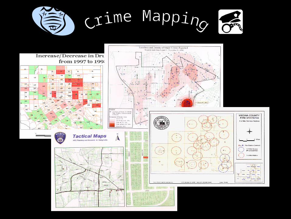
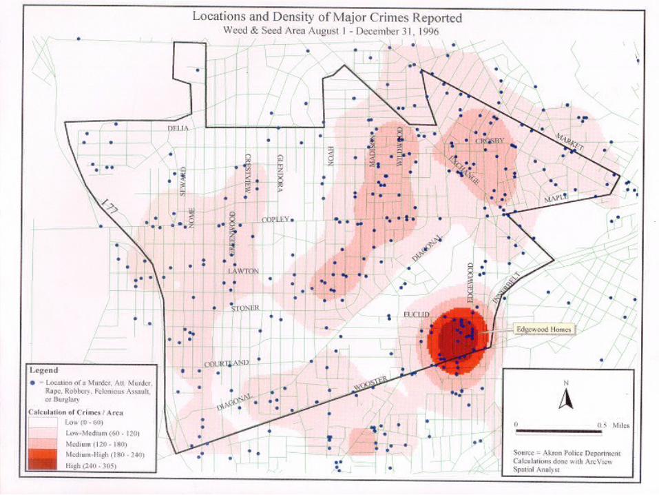
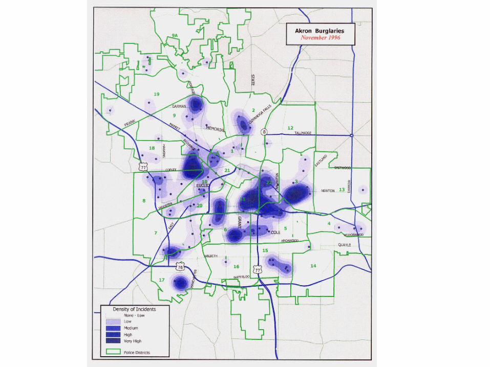
Crimes are human phenomena; therefore, their distribution across the landscape is not geographically random. For crimes to occur,
offenders and their targets - the victims and/or property - must, for a period of time, exist at the same location. Several factors, from the lure of potential targets to simple geographic convenience for an
offender, influence where people choose to break the law. Therefore, an understanding of where and why crimes occur can
improve attempts to fight crime. Maps offer crime analysts graphic representations of such crime-related issues.
Reason 2.
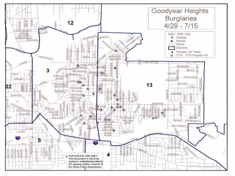
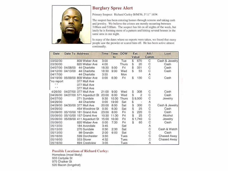
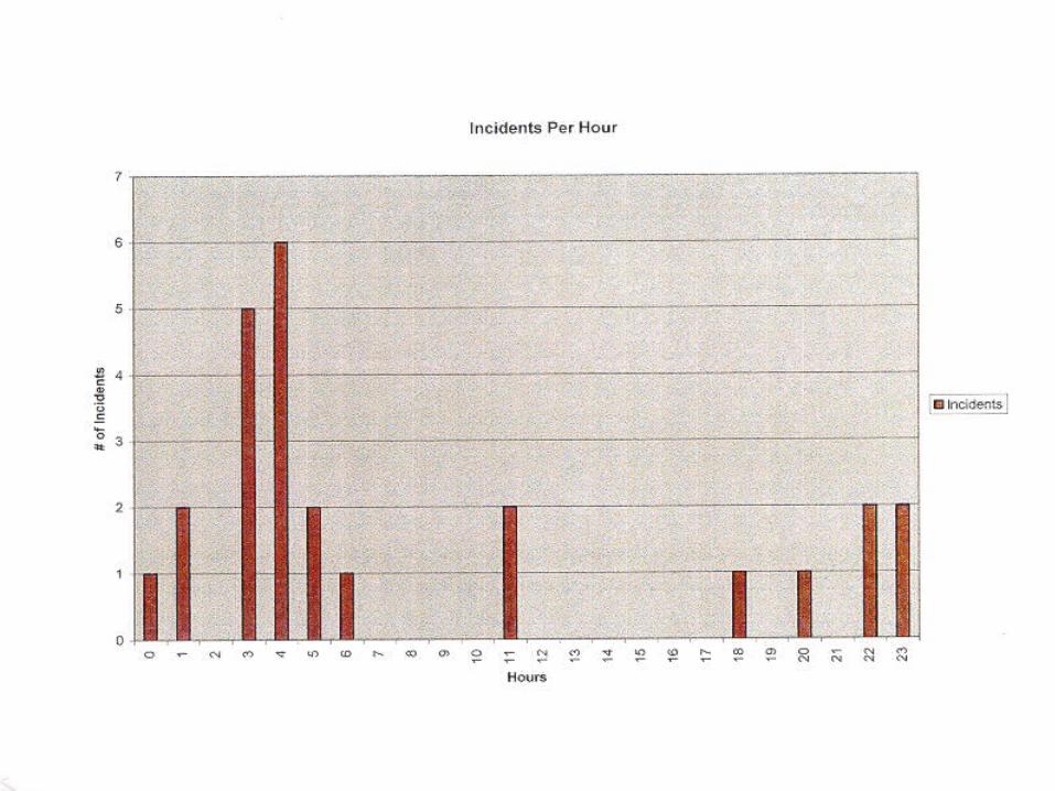
Mapping crime can help law enforcement protect citizens more effectively in the areas they serve. Simple maps that display the locations where crimes or concentrations of crimes have occurred can be used to help direct patrols to places they are most needed. Policy makers in police departments might use
more complex maps to observe trends in criminal activity, and maps may prove invaluable in solving criminal cases. For example, detectives may use maps to better understand the hunting patterns of serial criminals and to hypothesize
where these offenders might live.
Reason 3.
Using maps that help people visualize the geographic aspects of crime, however, is not limited to law enforcement. Mapping can provide specific
information on crime and criminal behavior to politicians, the press, and the general public.
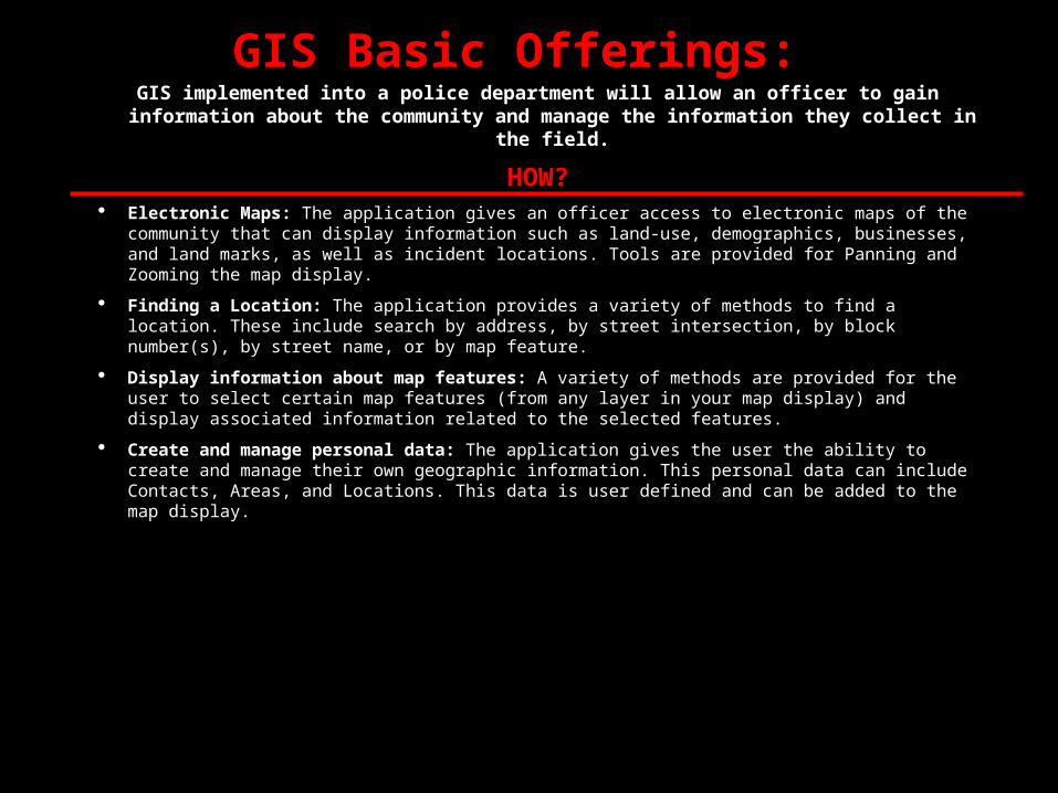
GIS Basic Offerings: GIS implemented into a police department will allow an officer to gain information
about the community and manage the information they collect in the field.
HOW? Electronic Maps: The application gives an officer access to electronic maps of the community that
can display information such as land-use, demographics, businesses, and land marks, as well as incident locations. Tools are provided for Panning and Zooming the map display.
Finding a Location: The application provides a variety of methods to find a location. These include search by address, by street intersection, by block number(s), by street name, or by map feature.
Display information about map features: A variety of methods are provided for the user to select certain map features (from any layer in your map display) and display associated information related to the selected features.
Create and manage personal data: The application gives the user the ability to create and manage their own geographic information. This personal data can include Contacts, Areas, and Locations. This data is user defined and can be added to the map display.
HAPPY!!
•COMSTAT
•Community Oriented Policing
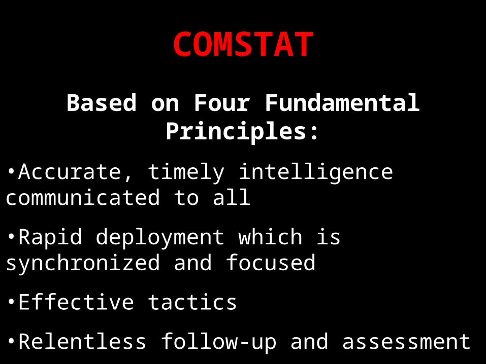
COMSTAT
Based on Four Fundamental Principles:
•Accurate, timely intelligence communicated to all
•Rapid deployment which is synchronized and focused
•Effective tactics
•Relentless follow-up and assessment
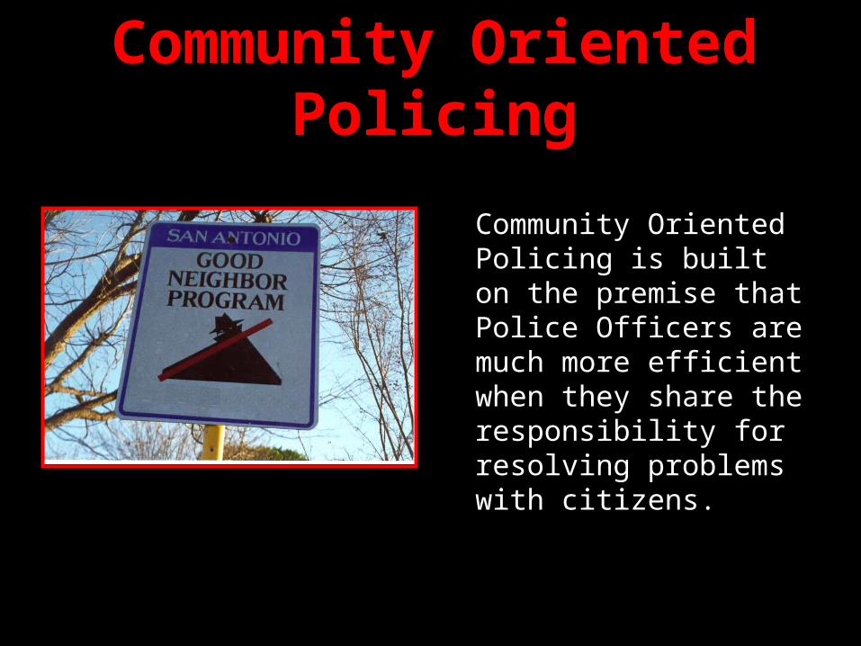
Community Oriented Policing
Community Oriented Policing is built on the premise that Police Officers are much more efficient when they share the responsibility for resolving problems with citizens.
“Broken Windows”The "Broken Windows" theory states:
Neighborhood disorder - public drunkenness, aggressive panhandling, youth gangs, graffiti, prostitution - signals to people that things are out of control and makes them afraid and sends a message to criminals that police are indifferent.
Unrepaired broken windows signal to people that nobody cares about a building and can lead to more serious vandalism. In the same way, when disorderly behavior is ignored, it signals that nobody cares about the community, and leads to more serious disorder and crime. Such behavior - disorderly people, drunks, rowdy groups of young people - both creates fear and attracts predators.
If police are to deal with disorder to reduce fear and crime, they must rely on citizens for assistance and buy-in.
“If you start enforcing the laws against street crimes, soon you’ll have an impact on all crimes.” - Toronto Sun Editorial, May 1997


Apartments

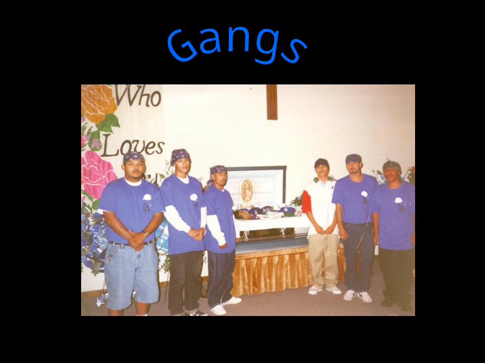

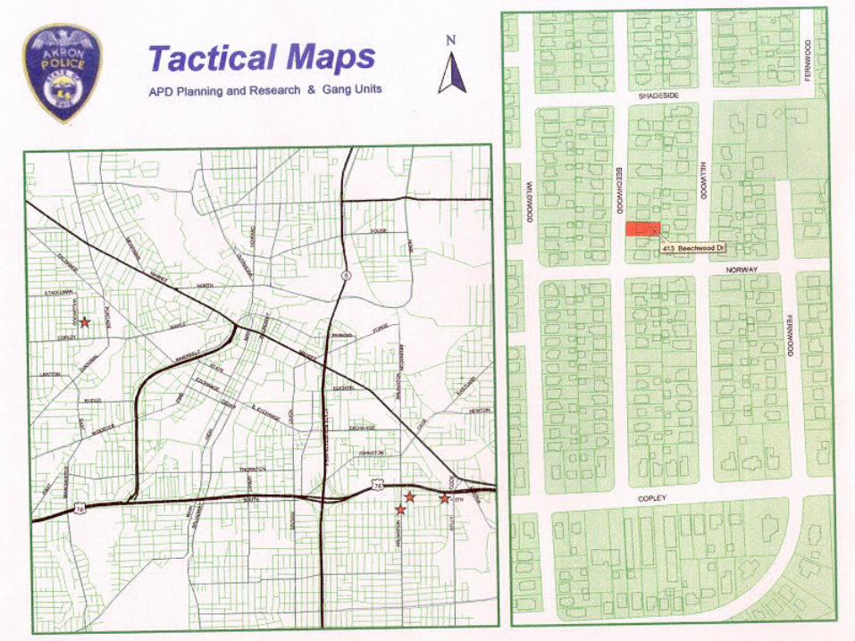
Defining Gang Boundaries
“The Basics”
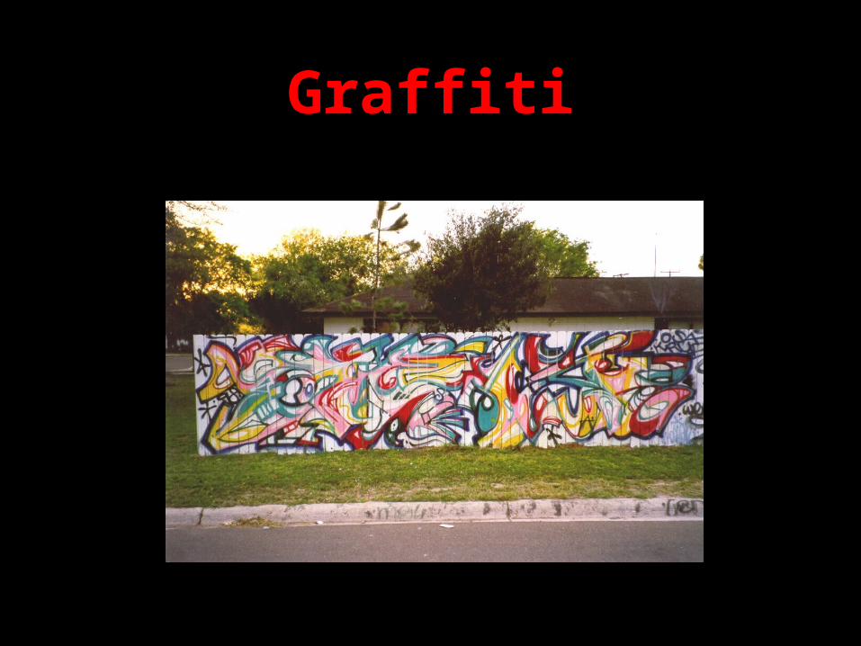
Graffiti
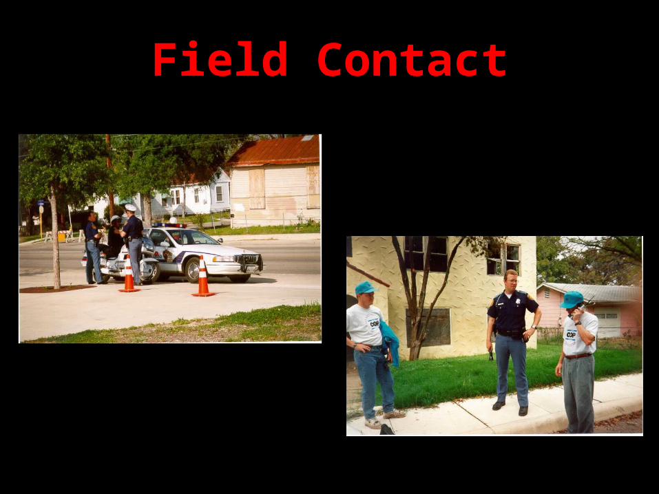
Field Contact
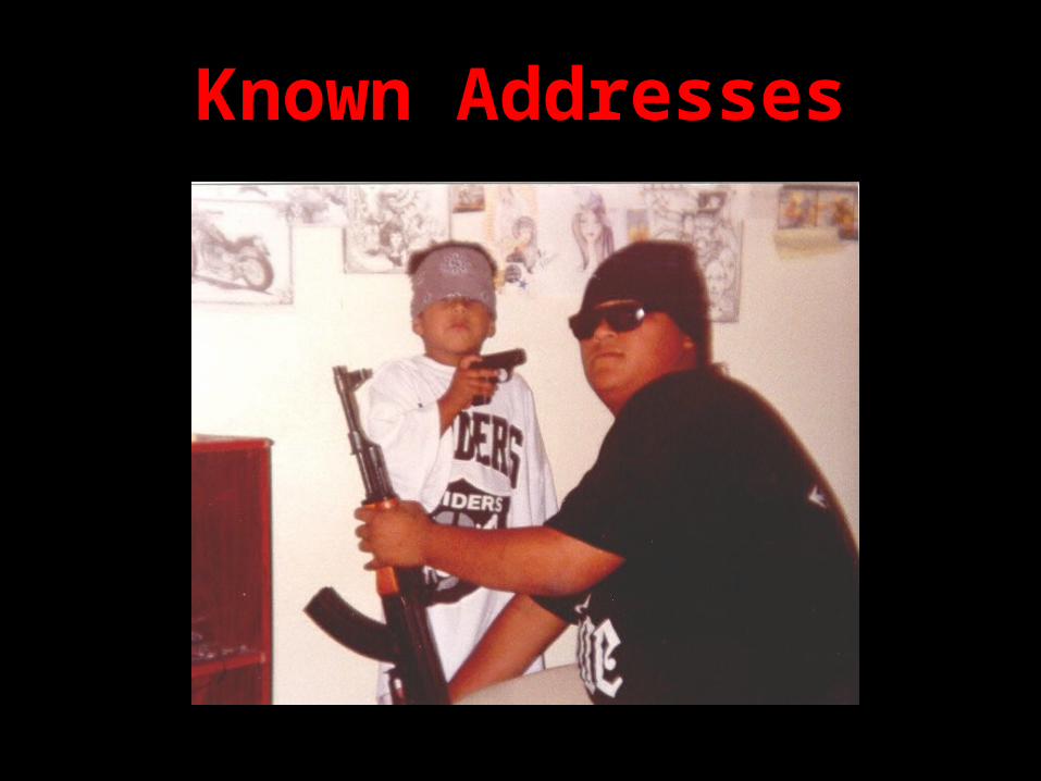
Known Addresses
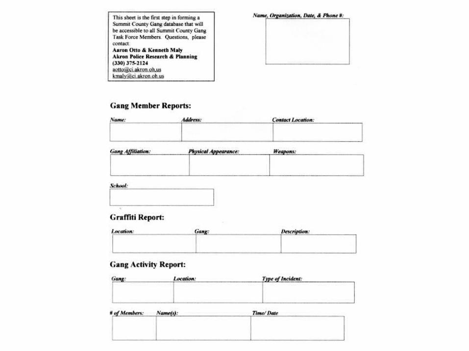
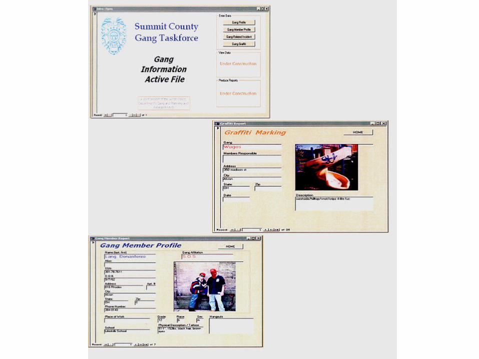
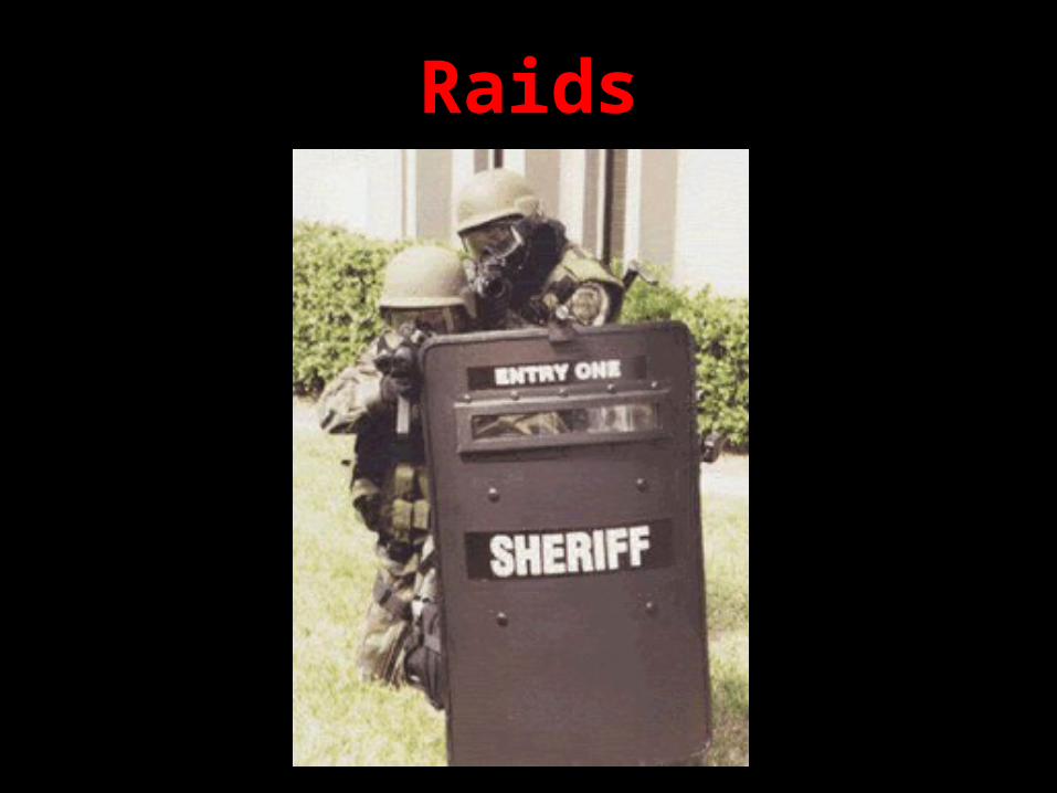
Raids
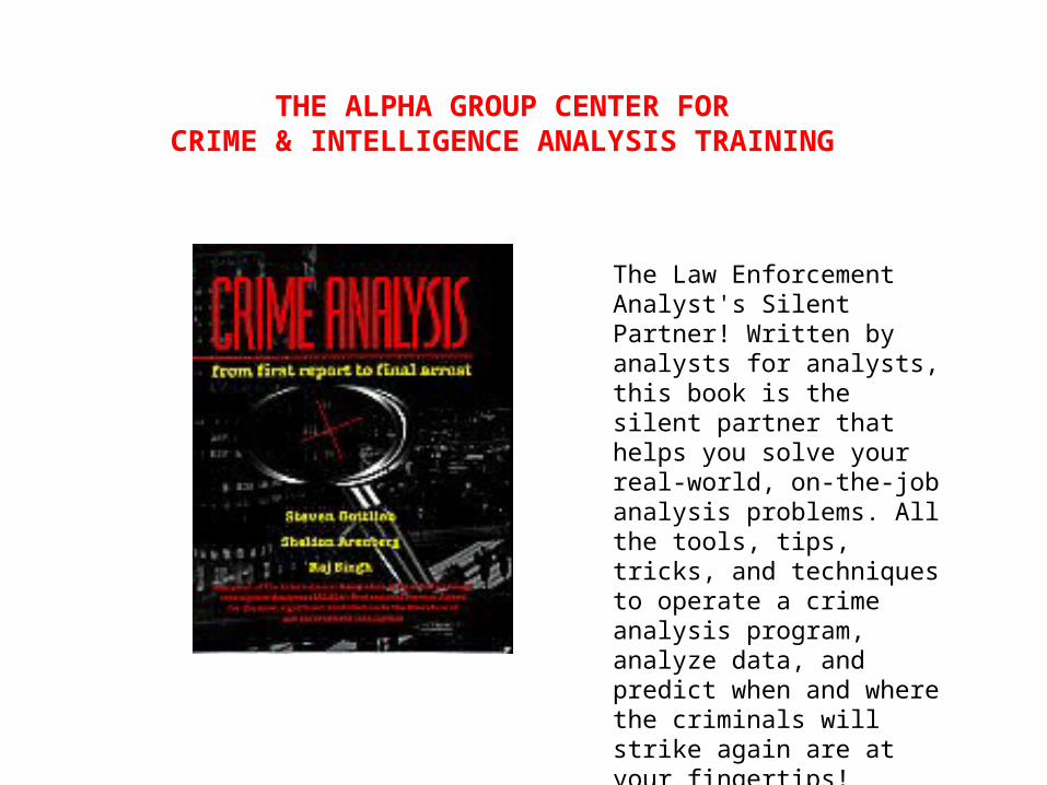
THE ALPHA GROUP CENTER FOR CRIME & INTELLIGENCE ANALYSIS TRAINING
The Law Enforcement Analyst's Silent Partner! Written by analysts for analysts, this book is the silent partner that helps you solve your real-world, on-the-job analysis problems. All the tools, tips, tricks, and techniques to operate a crime analysis program, analyze data, and predict when and where the criminals will strike again are at your fingertips!
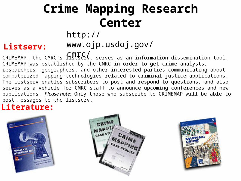
http://www.ojp.usdoj.gov/cmrc/
Crime Mapping Research Center
CRIMEMAP, the CMRC's listserv, serves as an information dissemination tool. CRIMEMAP was established by the CMRC in order to get crime analysts, researchers, geographers, and other interested parties communicating about computerized mapping technologies related to criminal justice applications. The listserv enables subscribers to post and respond to questions, and also serves as a vehicle for CMRC staff to announce upcoming conferences and new publications. Please note: Only those who subscribe to CRIMEMAP will be able to post messages to the listserv.
Listserv:
Literature:
Information Dissemination

FUNDING SOURCE:
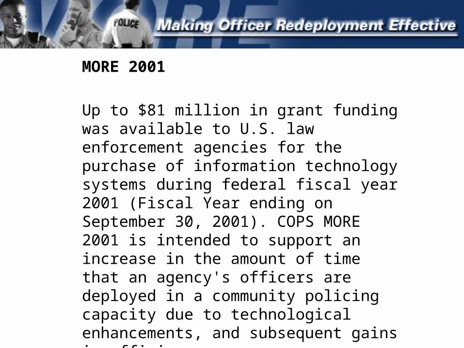
MORE 2001
Up to $81 million in grant funding was available to U.S. law enforcement agencies for the purchase of information technology systems during federal fiscal year 2001 (Fiscal Year ending on September 30, 2001). COPS MORE 2001 is intended to support an increase in the amount of time that an agency's officers are deployed in a community policing capacity due to technological enhancements, and subsequent gains in efficiency.
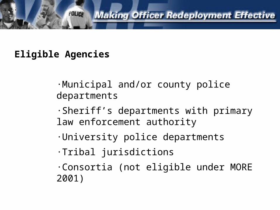
Eligible Agencies
·Municipal and/or county police departments
·Sheriff’s departments with primary law enforcement authority
·University police departments
·Tribal jurisdictions
·Consortia (not eligible under MORE 2001)
Crime Analysis Hardware or Software
COPS MORE has funded crime analysis hardware and software that saves officer and investigator time by eliminating the need for hand sorting incident and arrest reports. In addition, ancillary time savings can be achieved by obtaining information about the nature of crimes occurring within specific areas. This information is then provided to officers who can take proactive steps to mitigate the effects of both criminal and non-criminal activities that require repeated police response. Mapping software is one of the most commonly funded crime analysis tools under the MORE program.