Embed Size (px)
Citation preview
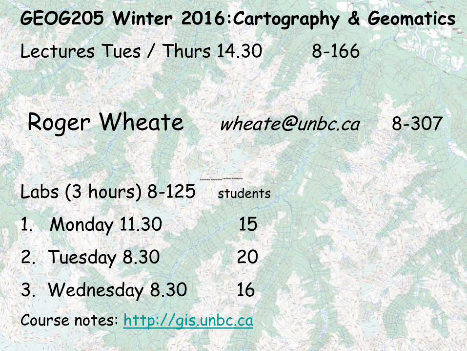
GEOG205 Winter 2016:Cartography & Geomatics
Lectures Tues / Thurs 14.30 8-166
Roger Wheate [email protected] 8-307
Labs (3 hours) 8-125 students
1. Monday 11.30 15
2. Tuesday 8.30 20
3. Wednesday 8.30 16
Course notes: http://gis.unbc.ca
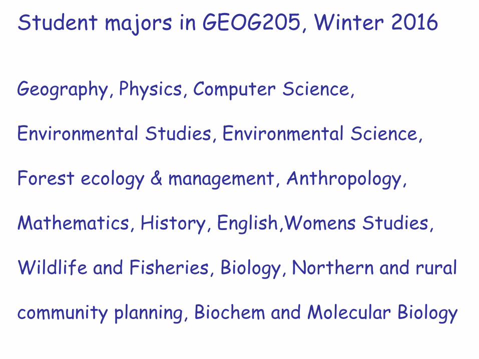
Student majors in GEOG205, Winter 2016
Geography, Physics, Computer Science,
Environmental Studies, Environmental Science,
Forest ecology & management, Anthropology,
Mathematics, History, English,Womens Studies,
Wildlife and Fisheries, Biology, Northern and rural
community planning, Biochem and Molecular Biology
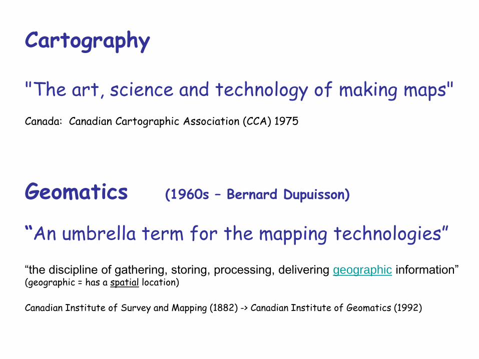
Cartography "The art, science and technology of making maps" Canada: Canadian Cartographic Association (CCA) 1975
Geomatics (1960s – Bernard Dupuisson)
“An umbrella term for the mapping technologies” “the discipline of gathering, storing, processing, delivering geographic information” (geographic = has a spatial location)
Canadian Institute of Survey and Mapping (1882) -> Canadian Institute of Geomatics (1992)
KONECNY, G. (2002). Recent Global Changes in Geomatics Education, Proceedings of 22nd FIG Congress 2002, Washington, D.C.
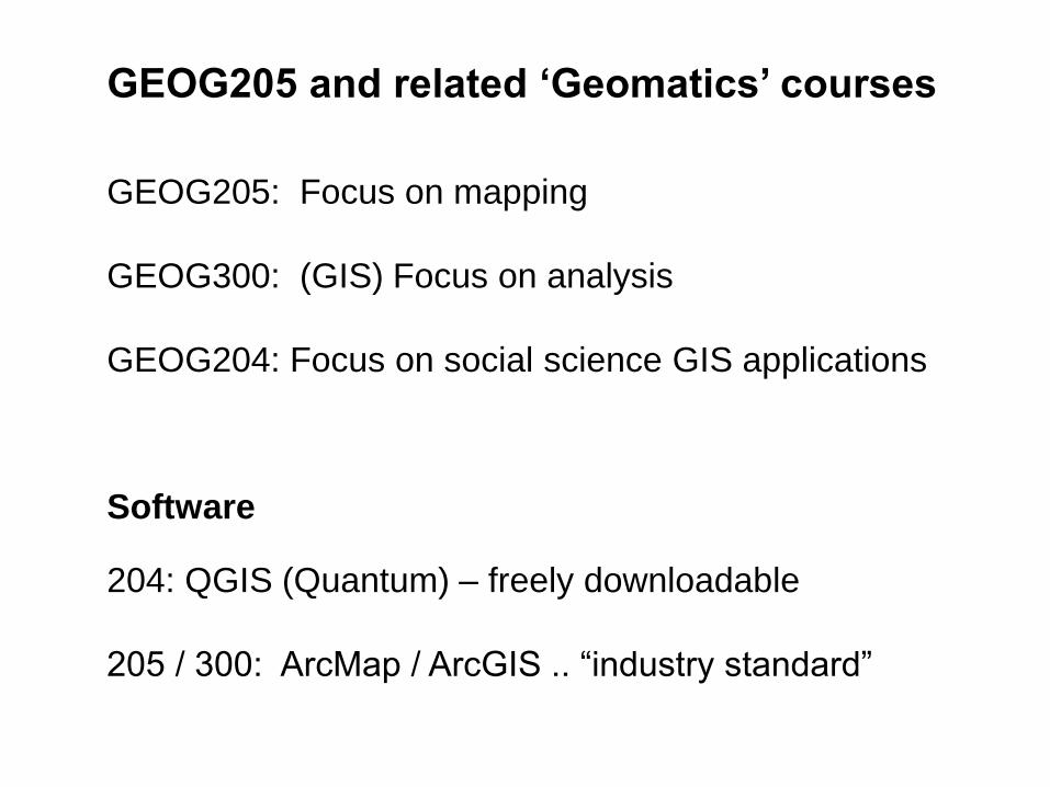
GEOG205 and related ‘Geomatics’ courses
GEOG205: Focus on mapping
GEOG300: (GIS) Focus on analysis
GEOG204: Focus on social science GIS applications
Software
204: QGIS (Quantum) – freely downloadable
205 / 300: ArcMap / ArcGIS .. “industry standard”
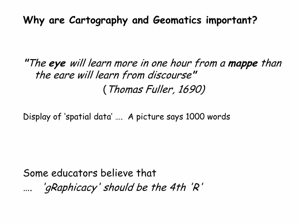
Why are Cartography and Geomatics important?
"The eye will learn more in one hour from a mappe than the eare will learn from discourse"
(Thomas Fuller, 1690)
Display of ‘spatial data’ …. A picture says 1000 words
Some educators believe that
…. 'gRaphicacy' should be the 4th 'R'
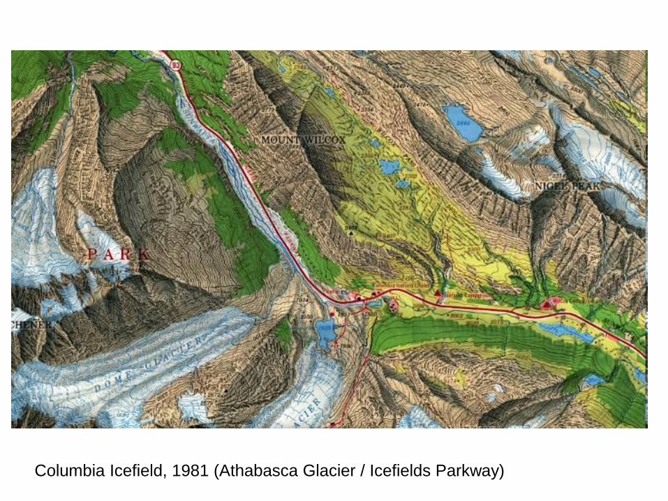
Columbia Icefield, 1981 (Athabasca Glacier / Icefields Parkway)
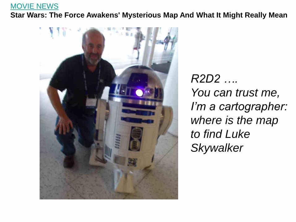
R2D2 ….
You can trust me,
I’m a cartographer:
where is the map
to find Luke
Skywalker
MOVIE NEWS
Star Wars: The Force Awakens' Mysterious Map And What It Might Really Mean
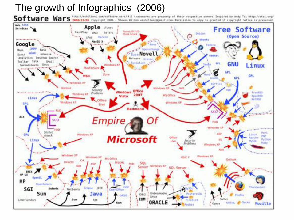
The growth of Infographics (2006)
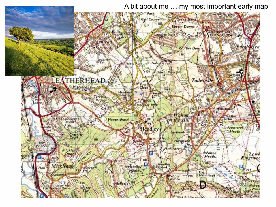
A bit about me … my most important early map
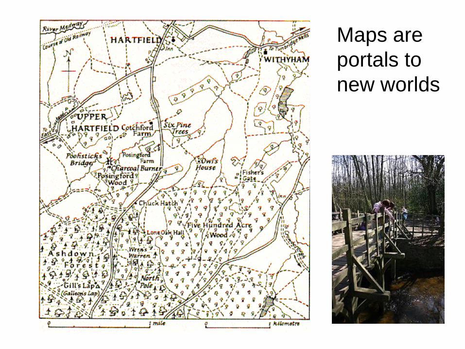
Maps are
portals to
new worlds
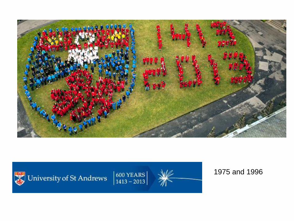
1975 and 1996
St. Andrews, Scotland – the
Prince George connection
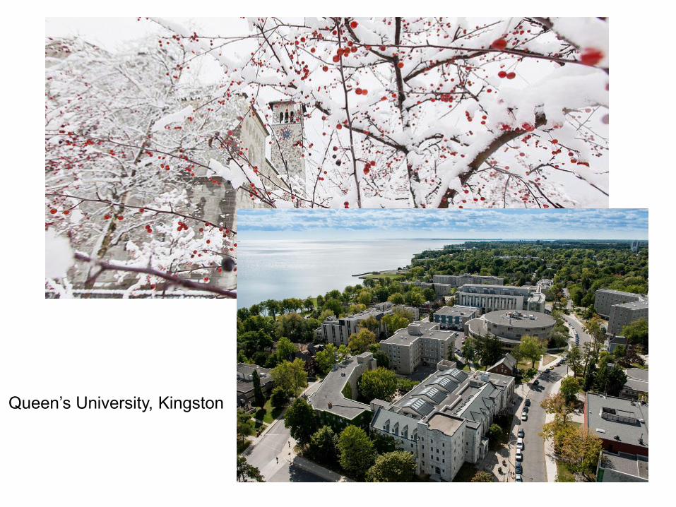
Queen’s University, Kingston
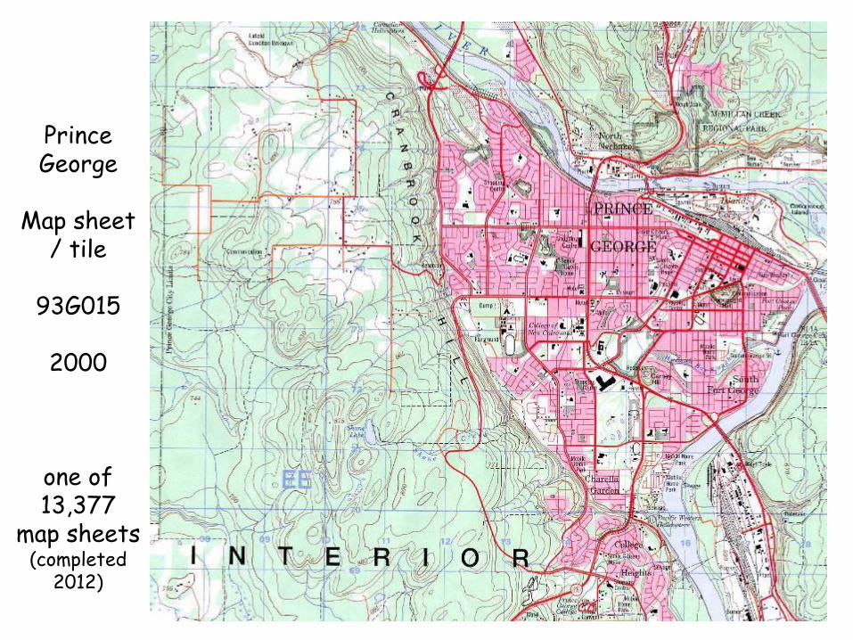
Prince George
Map sheet
/ tile
93G015
2000
one of 13,377
map sheets (completed
2012)
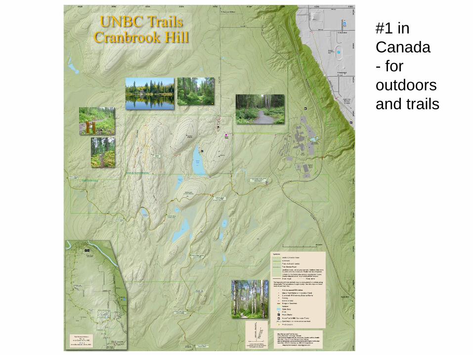
#1 in
Canada
- for
outdoors
and trails
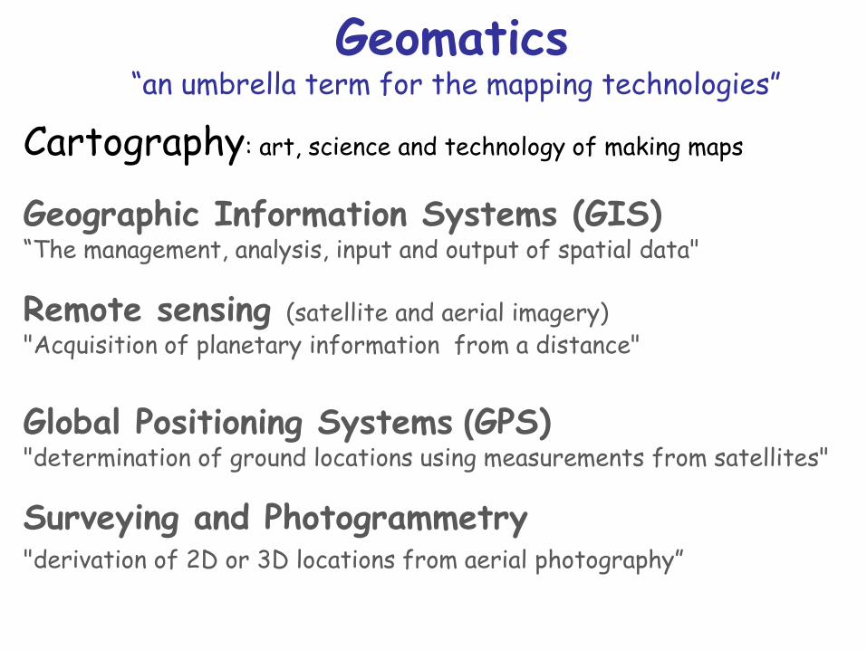
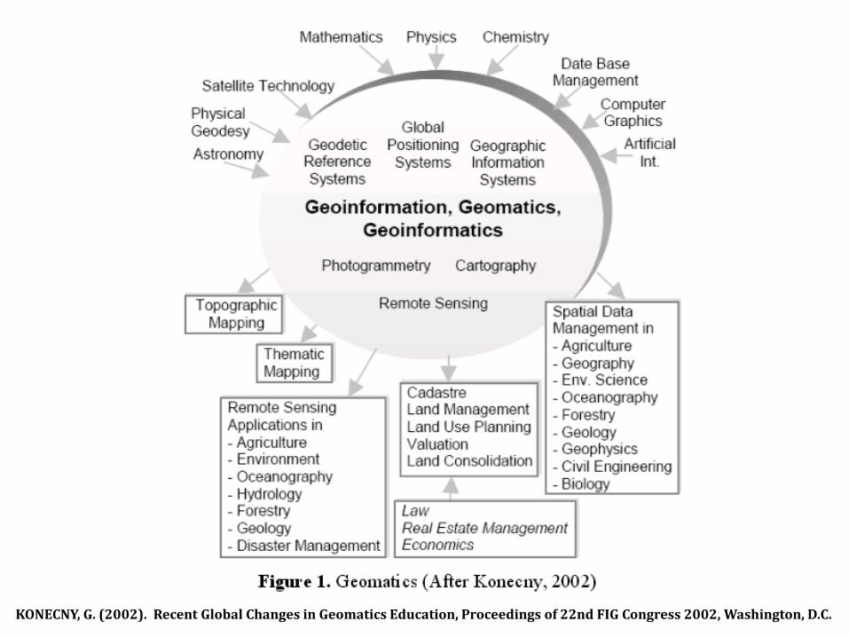
Geomatics “an umbrella term for the mapping technologies”
Cartography: art, science and technology of making maps
Geographic Information Systems (GIS) “The management, analysis, input and output of spatial data"
Remote sensing (satellite and aerial imagery) "Acquisition of planetary information from a distance"
Global Positioning Systems (GPS) "determination of ground locations using measurements from satellites"
Surveying and Photogrammetry "derivation of 2D or 3D locations from aerial photography”
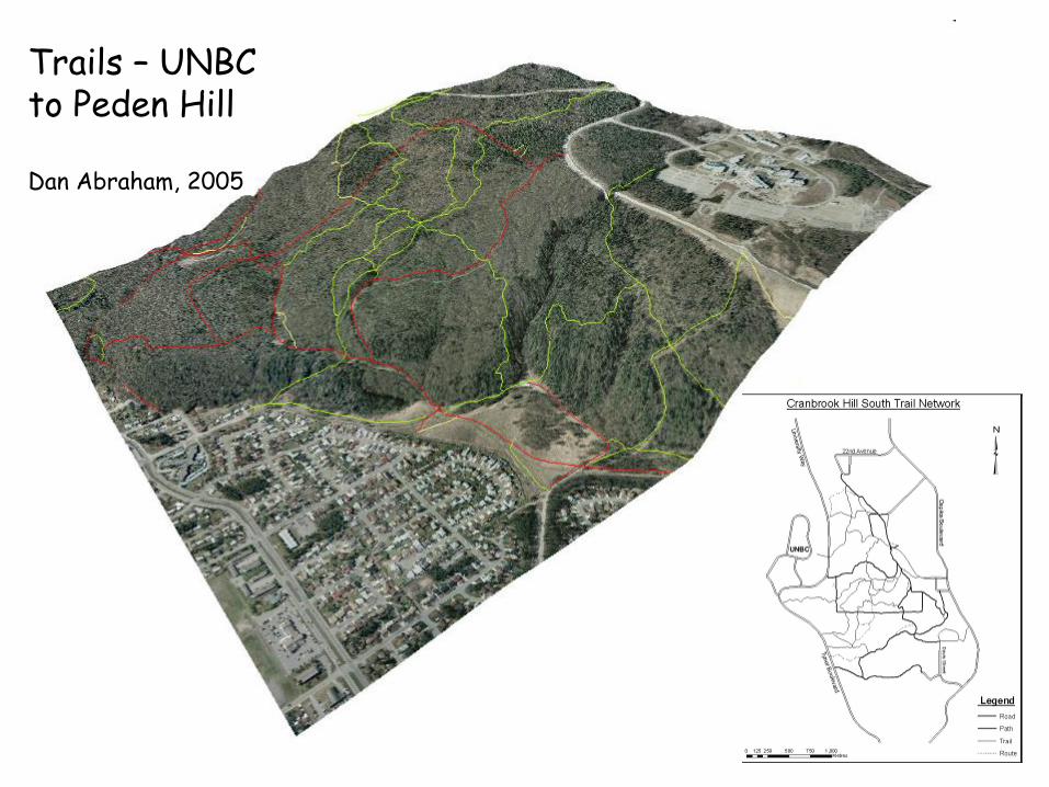
Trails – UNBC to Peden Hill Dan Abraham, 2005
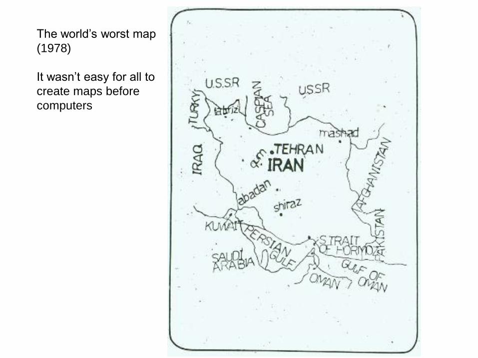
The world’s worst map
(1978)
It wasn’t easy for all to
create maps before
computers
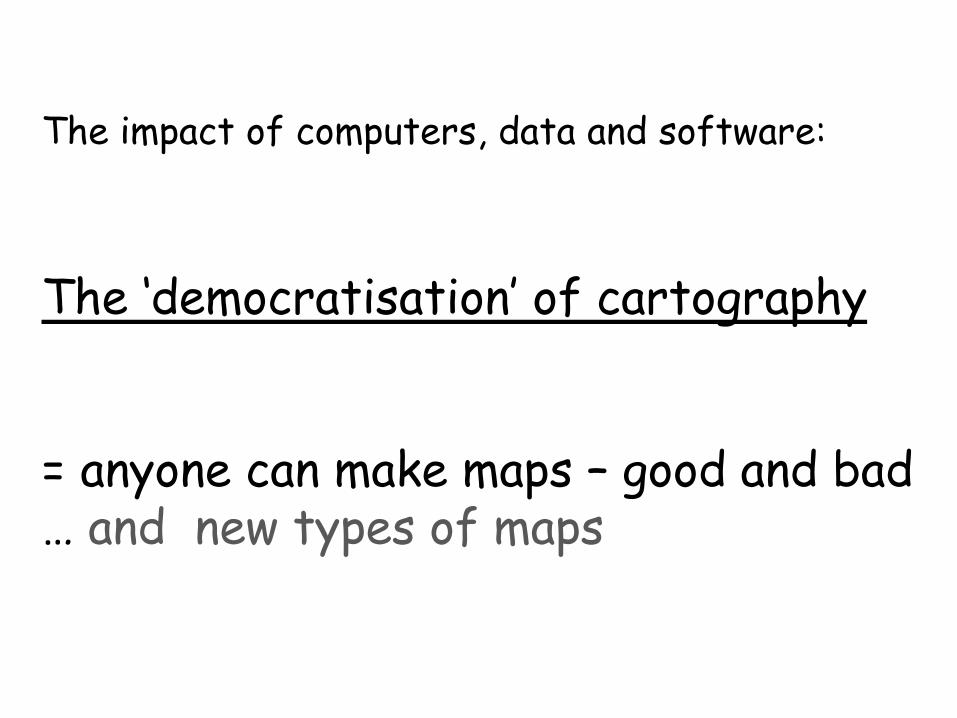
The impact of computers, data and software:
The ‘democratisation’ of cartography = anyone can make maps – good and bad … and new types of maps
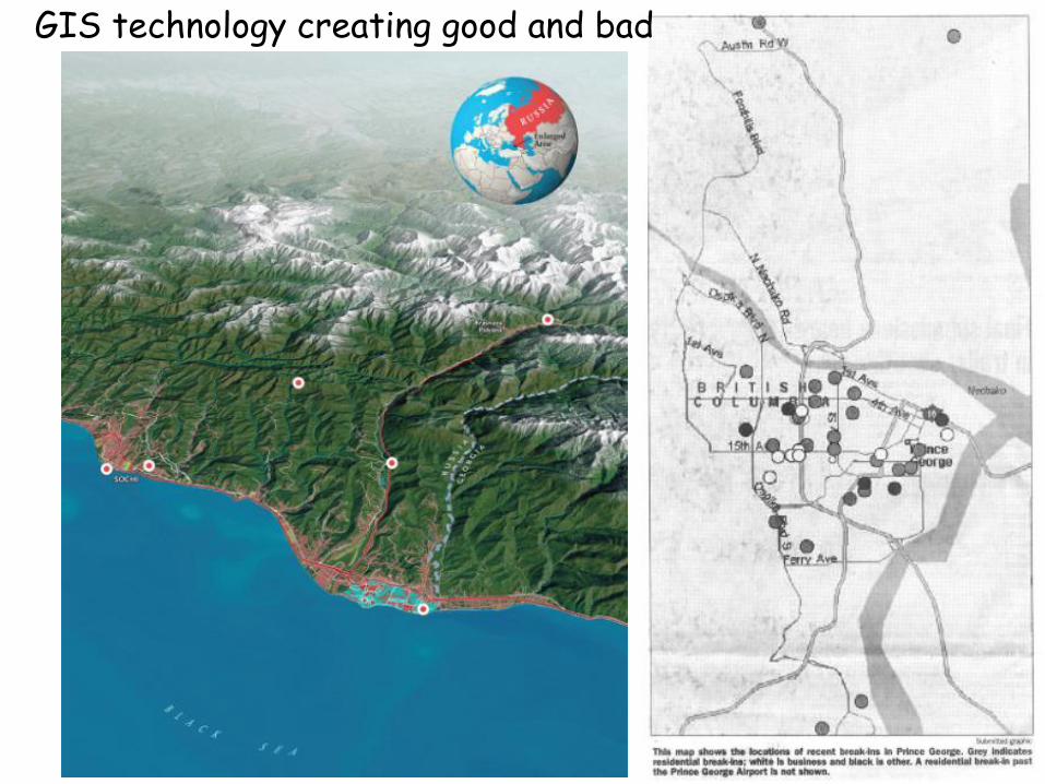
GIS technology creating good and bad
http://www.youtube.com/watch?v=NNzTPfARdwQ&feature=related